Elevation of Elkhorn St, Beloit, KS, USA
Location: United States > Kansas > Mitchell County > Logan > Simpson >
Longitude: -97.930268
Latitude: 39.3866416
Elevation: 407m / 1335feet
Barometric Pressure: 97KPa
Elevation Map:
Satellite Map:
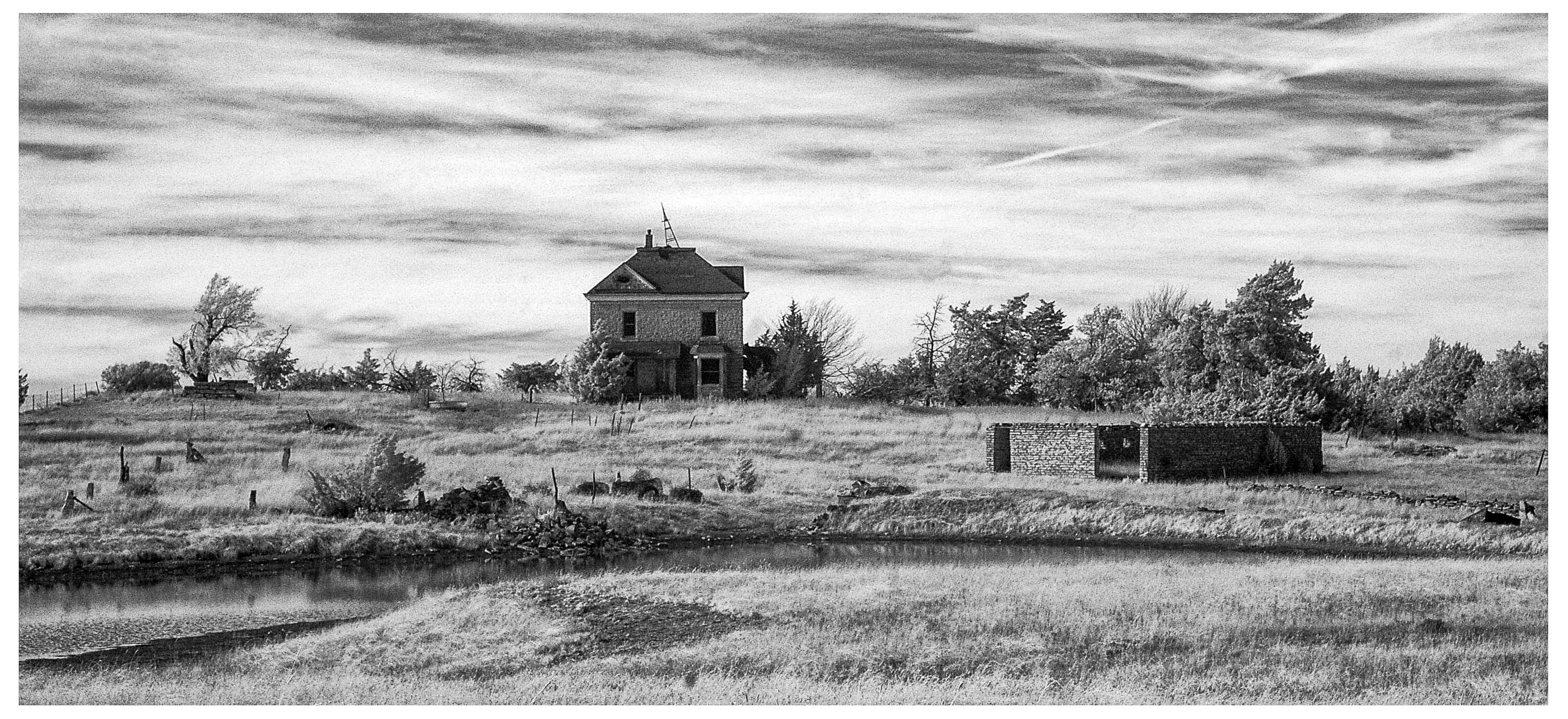
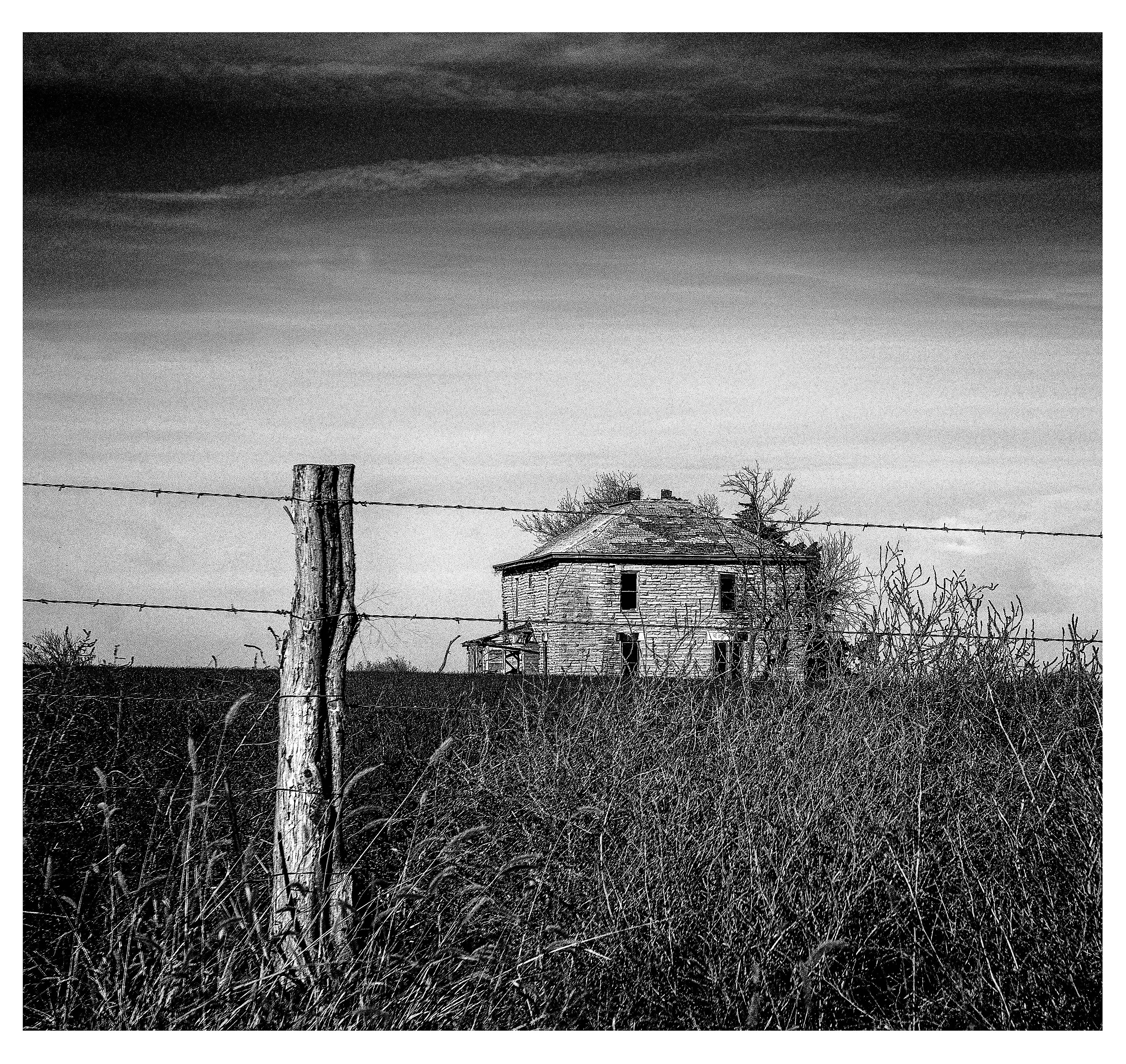
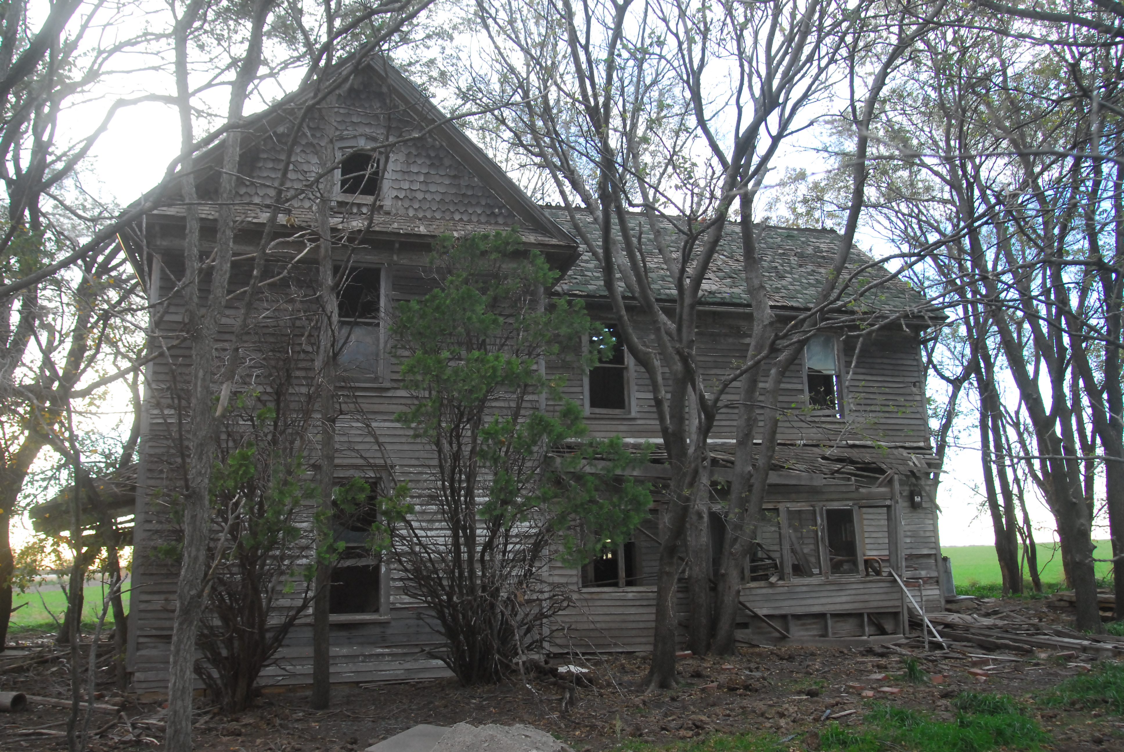
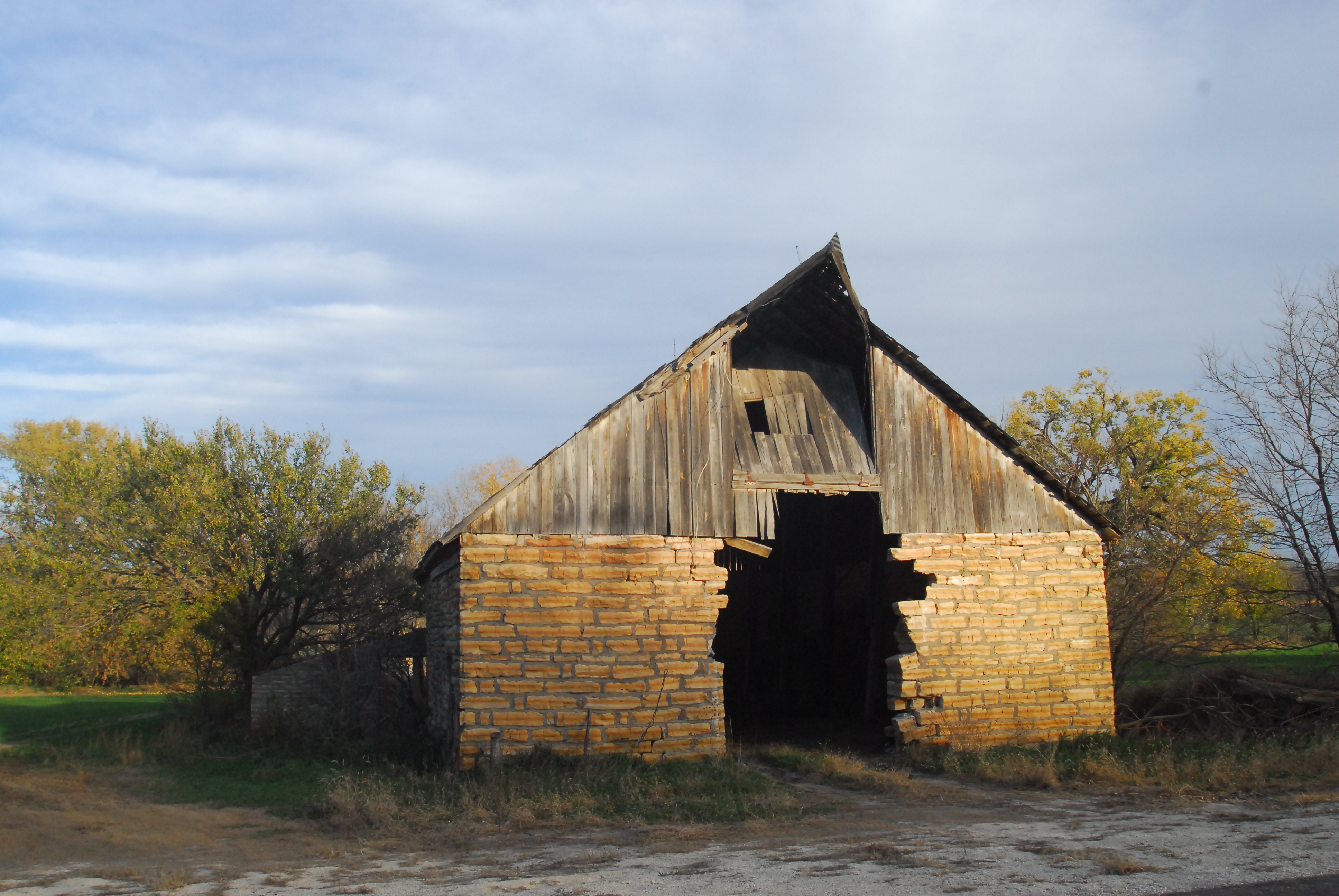
Related Photos:
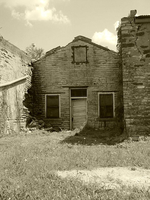
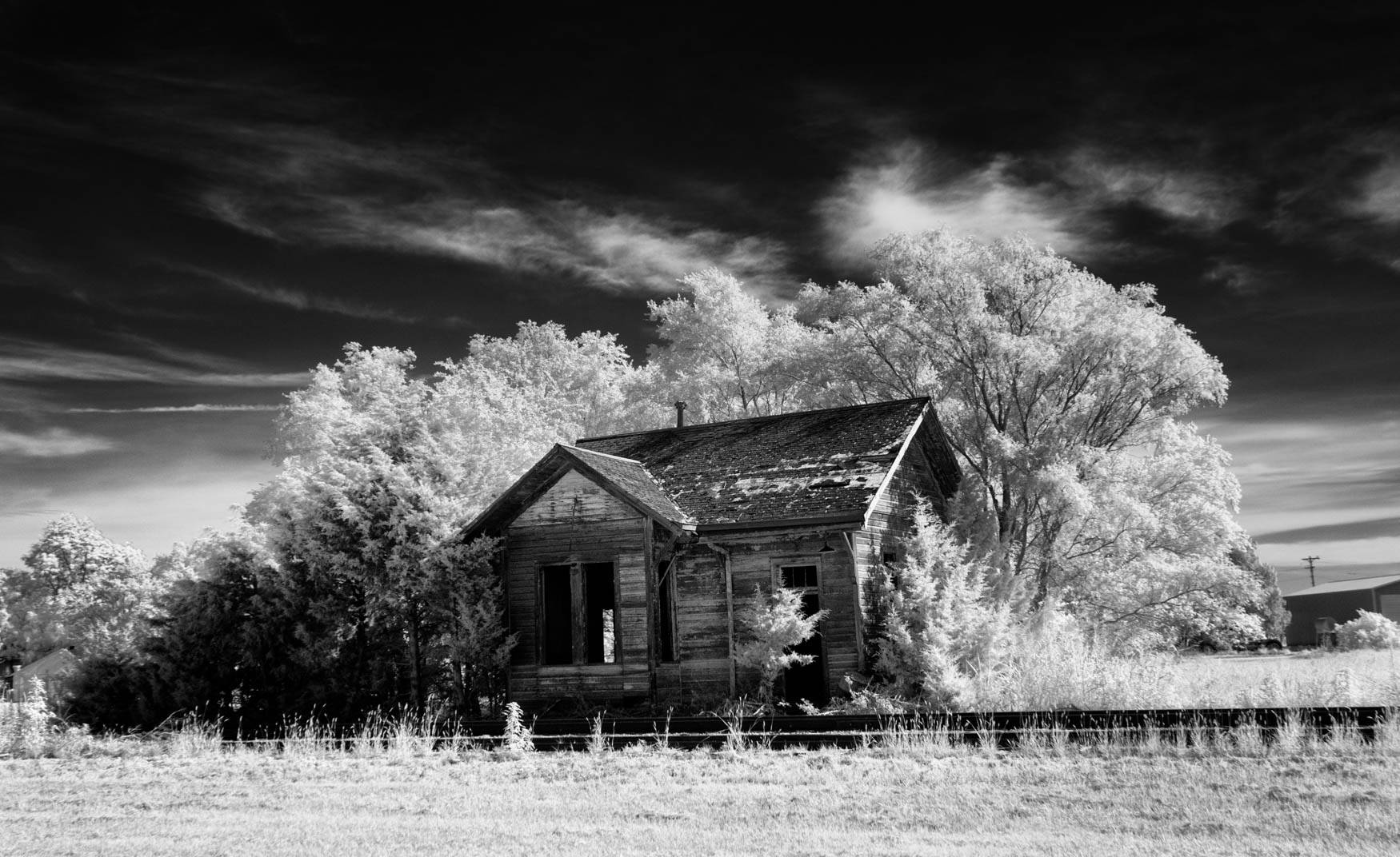
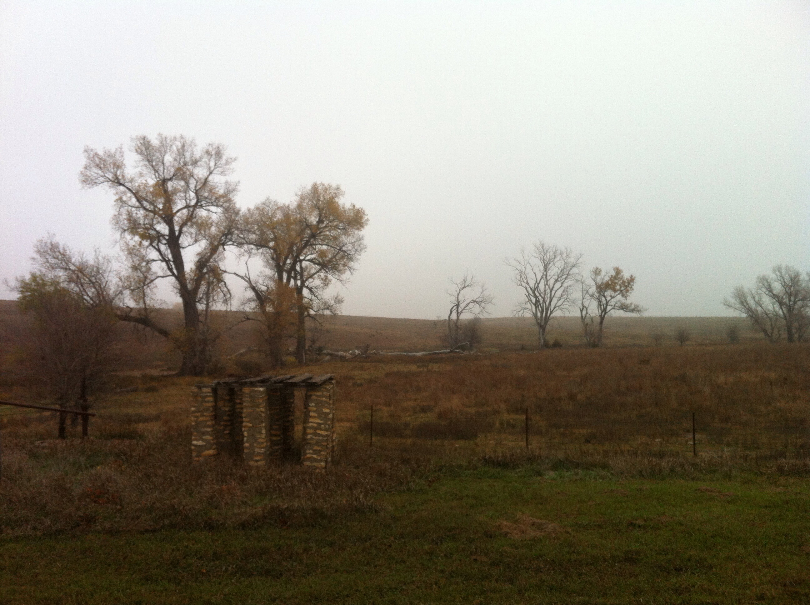
Crumbling

Meridian Way Wind Farm

The Top of a Turbine
Reach for the Sky
The Reward

Cloud County School
Untitled (explore)
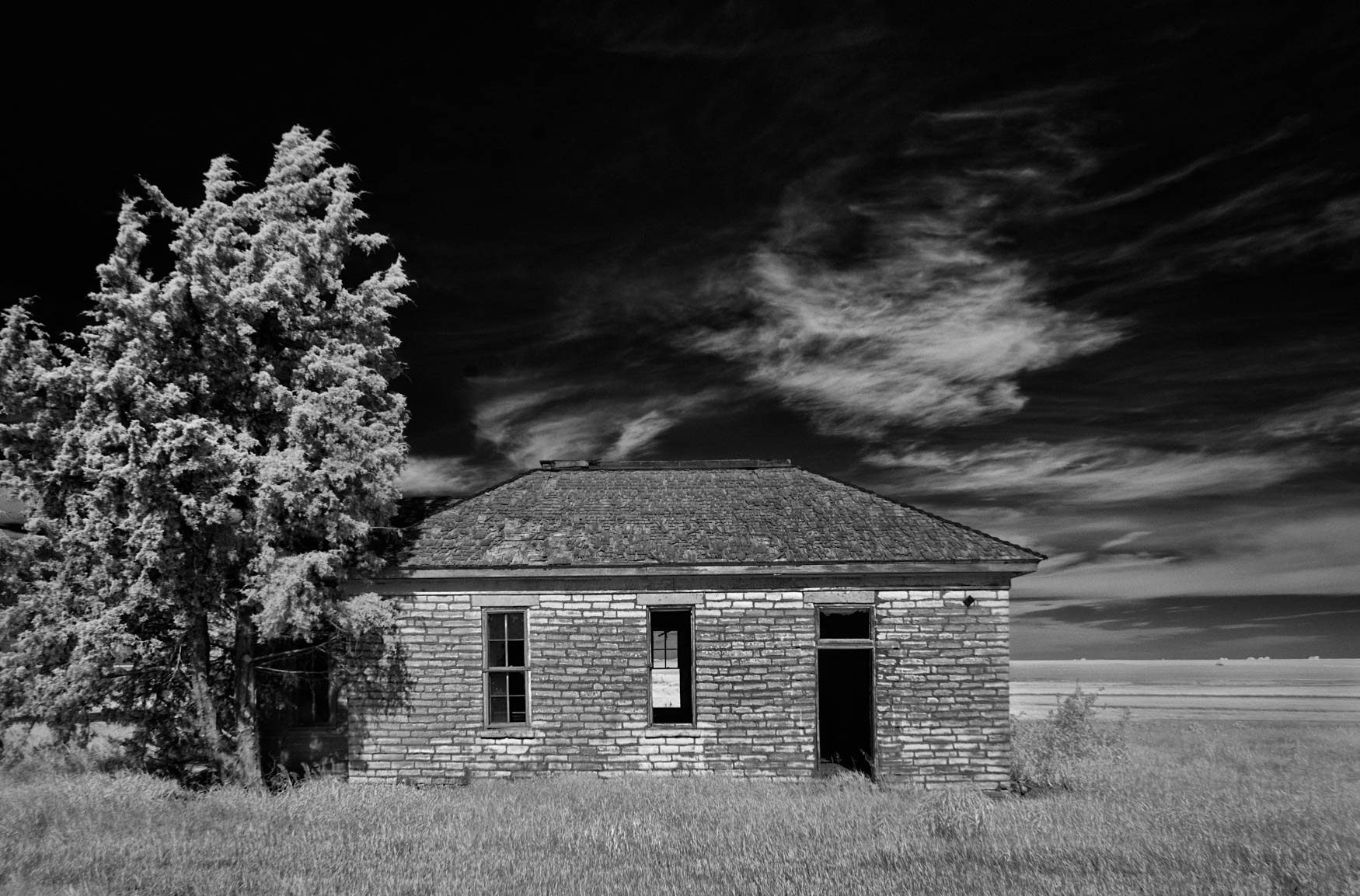
Simpson Depot
A Lesson in Time
It Would Have Been Better in the Afternoon

Me, on a Wind Turbine
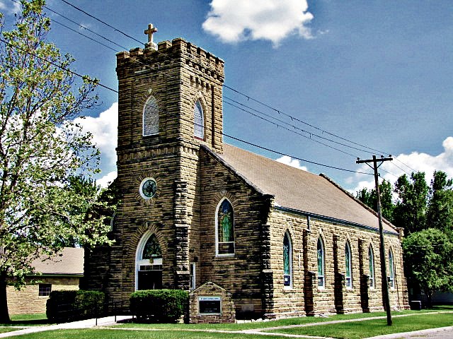
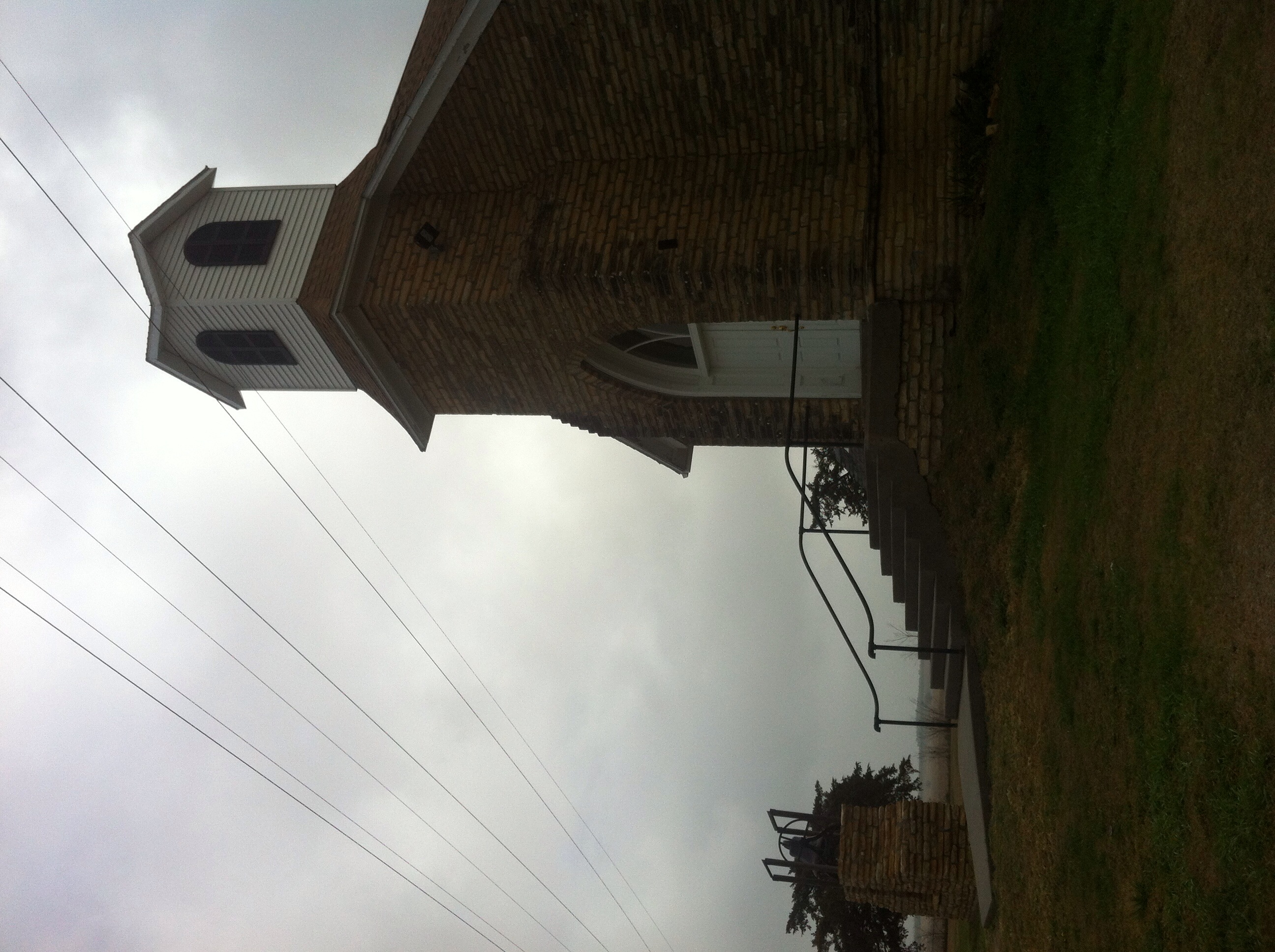
Little stone church in the village
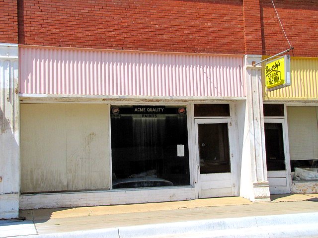
Blank palette
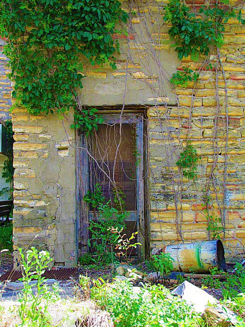
Forgotten entrance
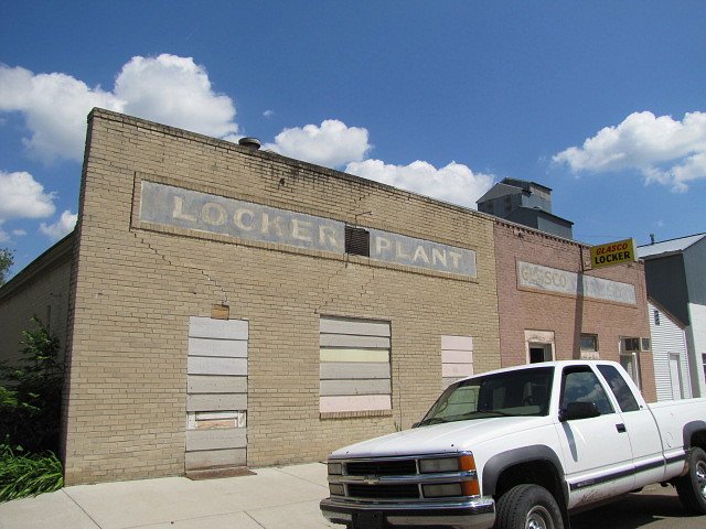
Glasco Locker Plant
Coal ghost
More than I expected
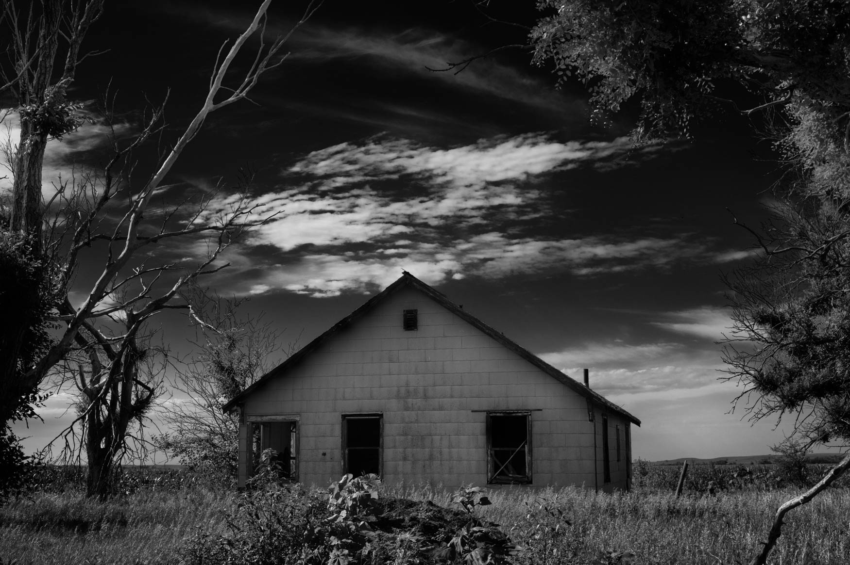
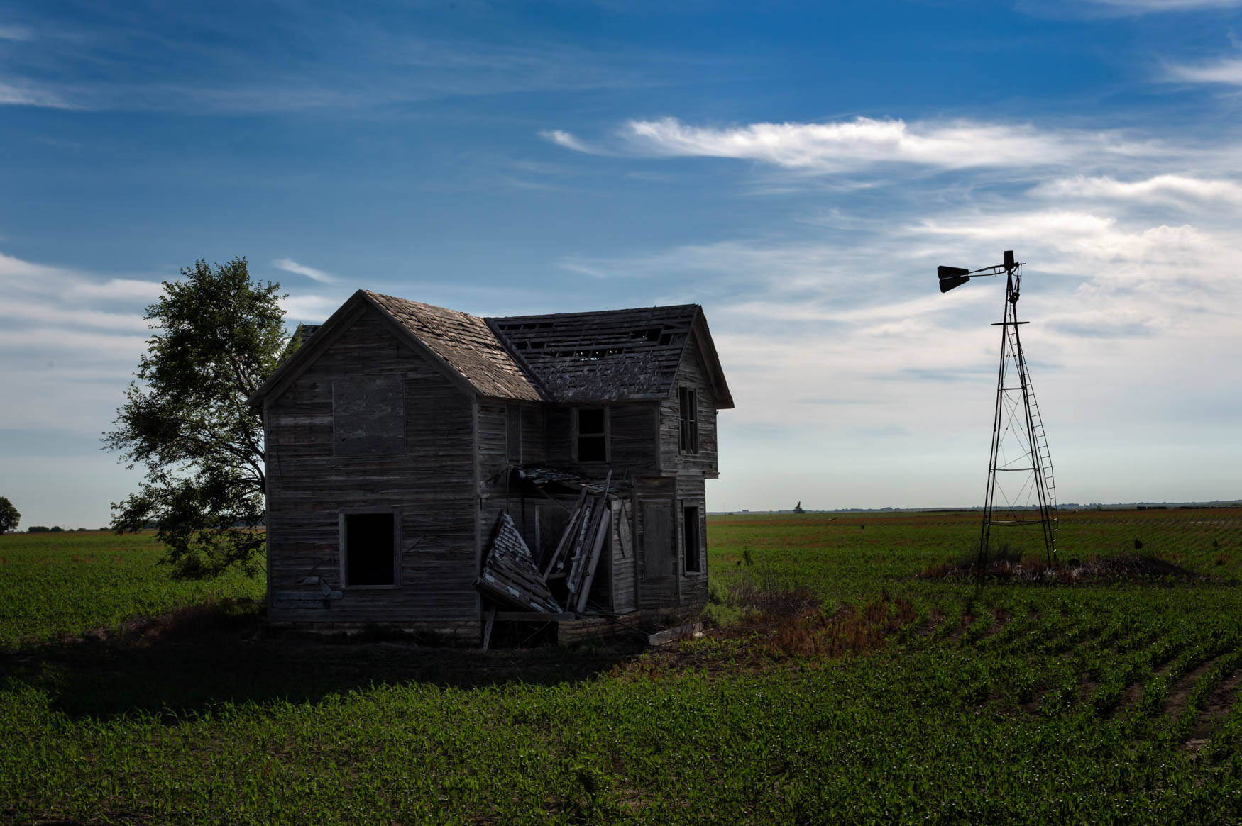
Faded Dreams
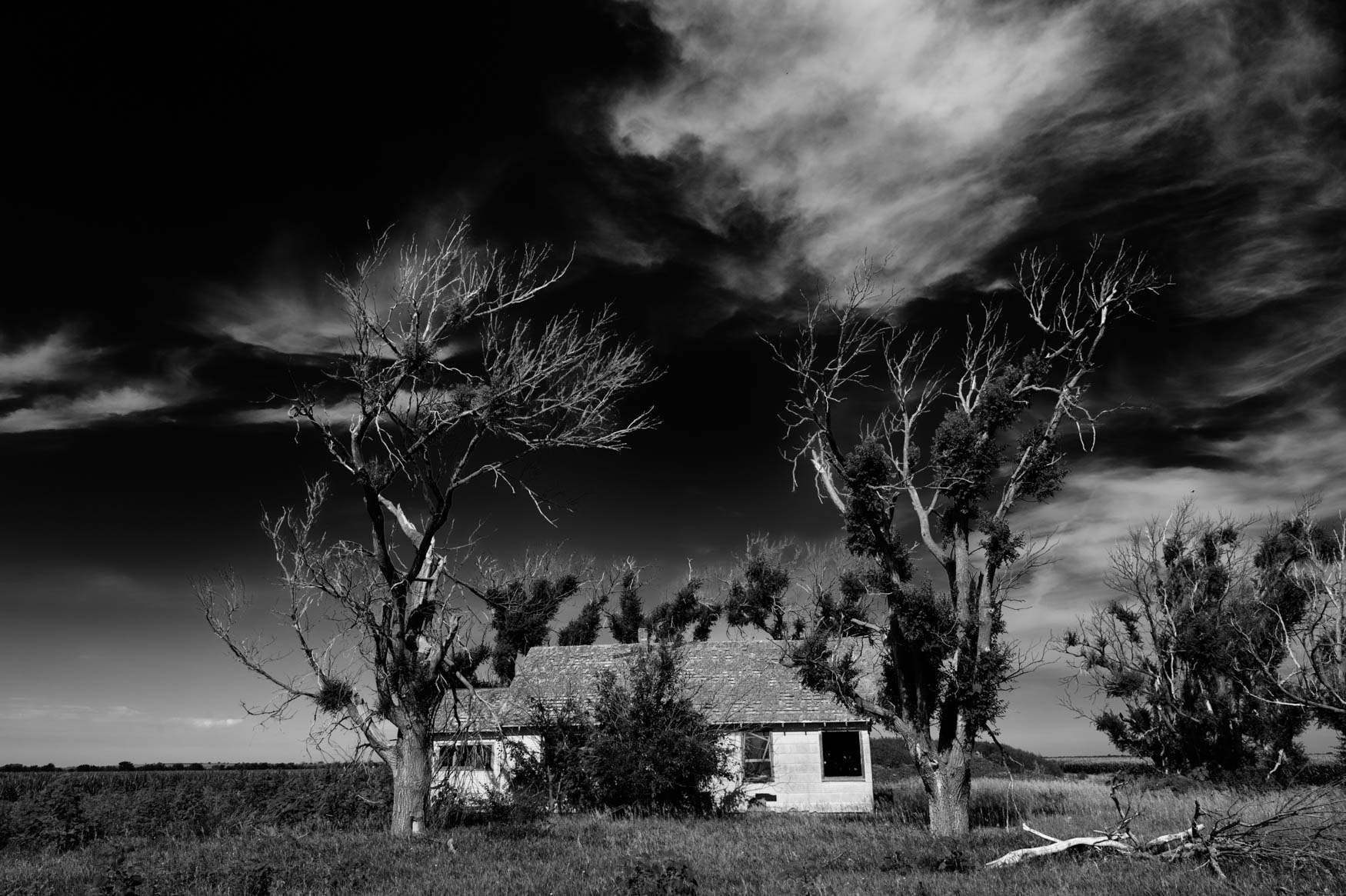
Somebody Lived Here!
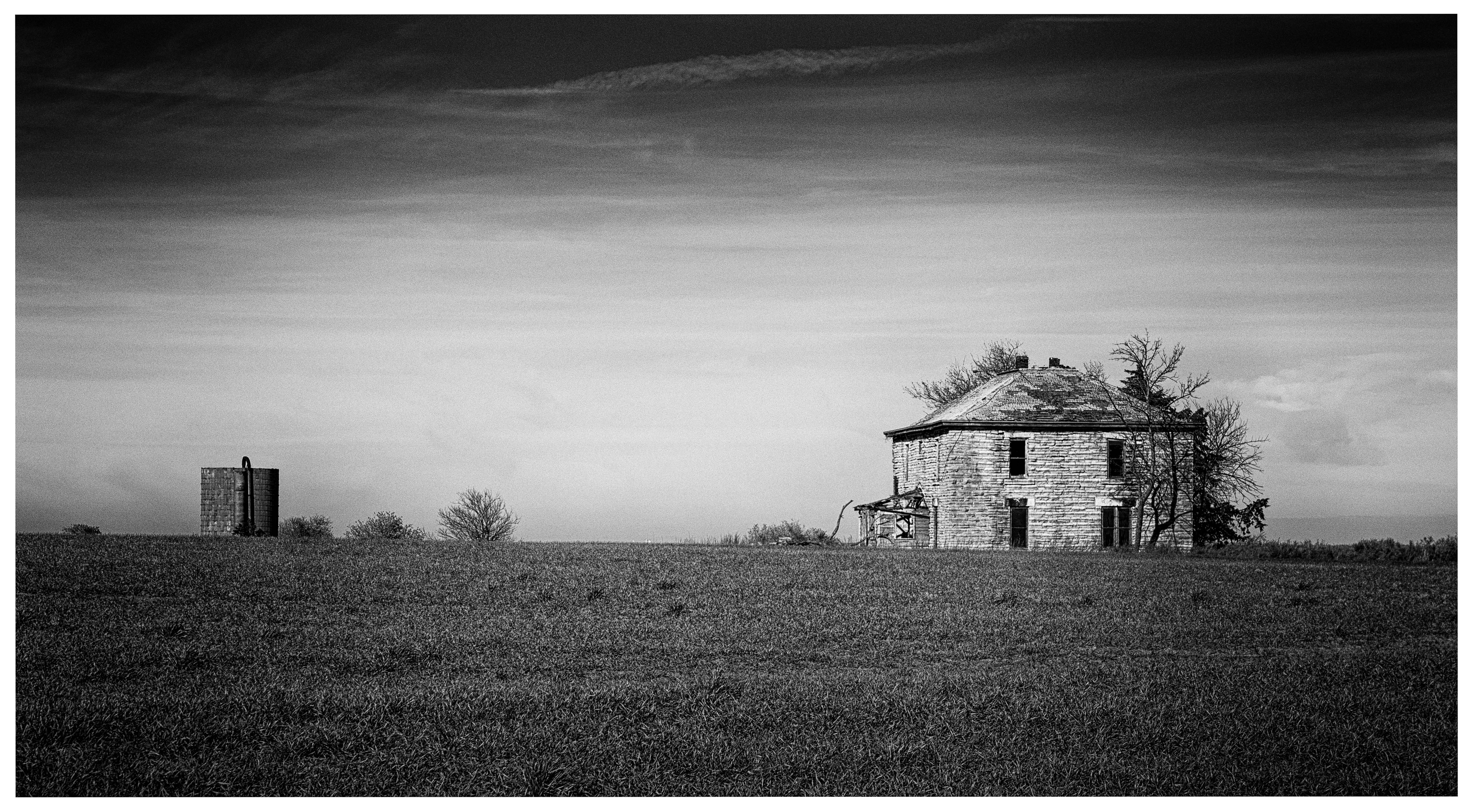
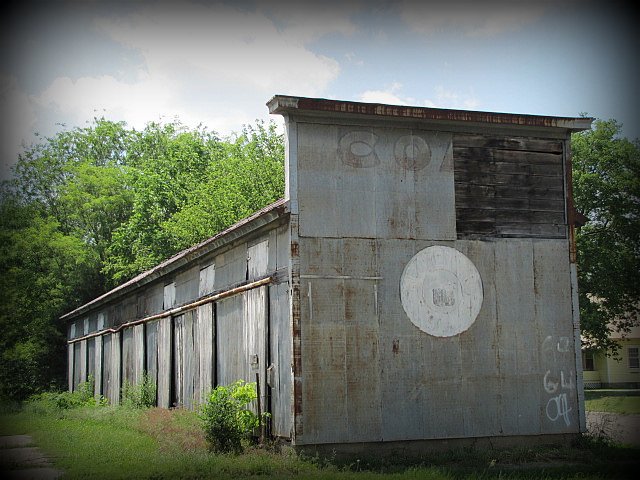
Crumbling Stone Barn

Spider vs Butterfly
Ghost trip fall 2012
Ghost trip fall 2012
Topographic Map of Elkhorn St, Beloit, KS, USA
Find elevation by address:

Places near Elkhorn St, Beloit, KS, USA:
Simpson
Loretta Trail, Beloit, KS, USA
E Main St, Beloit, KS, USA
713 120th Rd
Cloud County
1347 Gold Rd
1347 Gold Rd
Prairie
Randall
Walnut St, Randall, KS, USA
Center
Mitchell County
911 Republican St
304 W 7th St
304 W 7th St
Concordia
W 7th St, Concordia, KS, USA
Cloud County Road & Bridge
Lincoln
Industrial Rd, Concordia, KS, USA
Recent Searches:
- Elevation of Corso Fratelli Cairoli, 35, Macerata MC, Italy
- Elevation of Tallevast Rd, Sarasota, FL, USA
- Elevation of 4th St E, Sonoma, CA, USA
- Elevation of Black Hollow Rd, Pennsdale, PA, USA
- Elevation of Oakland Ave, Williamsport, PA, USA
- Elevation of Pedrógão Grande, Portugal
- Elevation of Klee Dr, Martinsburg, WV, USA
- Elevation of Via Roma, Pieranica CR, Italy
- Elevation of Tavkvetili Mountain, Georgia
- Elevation of Hartfords Bluff Cir, Mt Pleasant, SC, USA