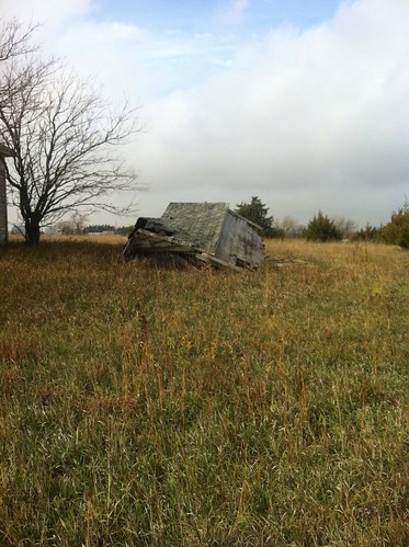
Elevation of W 7th St, Concordia, KS, USA
Location: United States > Kansas > Cloud County > Concordia >
Longitude: -97.662267
Latitude: 39.5707121
Elevation: 421m / 1381feet
Barometric Pressure: 96KPa
Related Photos:
Topographic Map of W 7th St, Concordia, KS, USA
Find elevation by address:

Places near W 7th St, Concordia, KS, USA:
Concordia
304 W 7th St
304 W 7th St
911 Republican St
Cloud County Road & Bridge
Industrial Rd, Concordia, KS, USA
Lincoln
Quail Rd, Concordia, KS, USA
Oak Rd, Concordia, KS, USA
Cloud County
Center
1347 Gold Rd
1347 Gold Rd
713 120th Rd
Elk
Republic County
Clyde
Green St, Clyde, KS, USA
Agenda
Elk Creek
Recent Searches:
- Elevation of Corso Fratelli Cairoli, 35, Macerata MC, Italy
- Elevation of Tallevast Rd, Sarasota, FL, USA
- Elevation of 4th St E, Sonoma, CA, USA
- Elevation of Black Hollow Rd, Pennsdale, PA, USA
- Elevation of Oakland Ave, Williamsport, PA, USA
- Elevation of Pedrógão Grande, Portugal
- Elevation of Klee Dr, Martinsburg, WV, USA
- Elevation of Via Roma, Pieranica CR, Italy
- Elevation of Tavkvetili Mountain, Georgia
- Elevation of Hartfords Bluff Cir, Mt Pleasant, SC, USA

