Elevation of Elkhorn Rd, Cotopaxi, CO, USA
Location: United States > Colorado > Cotopaxi >
Longitude: -105.43822
Latitude: 38.293492
Elevation: 2220m / 7283feet
Barometric Pressure: 77KPa
Elevation Map:
Satellite Map:
Related Photos:

the Bunkhouse

The Bunkhouse - Beckwith Ranch - Westcliffe, CO

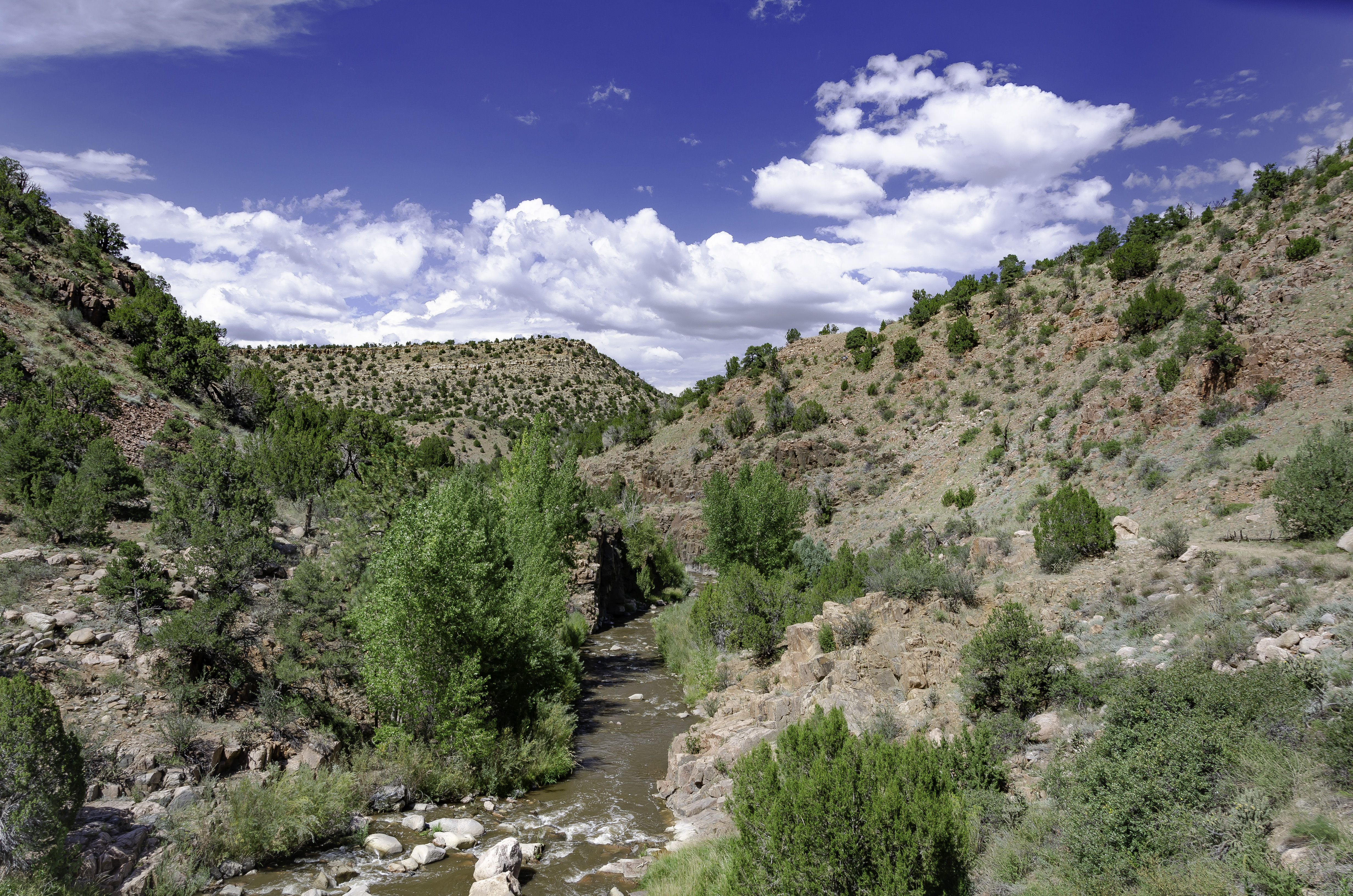
Grape Creek

Sangre de Cristo Sunrise

20201012_13325501-Edit

Temple Canyon-Grape Creek
Temple Canyon & Grape Creek

20201012_16064701-Edit

Old Mine in Temple Canyon

Sangre Storm Panorama

Temple Canyon

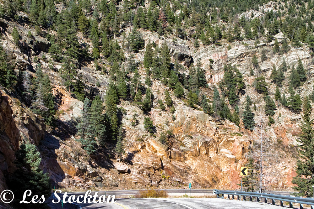
GM_16-01-11_153241.jpg

20201012_16063902-Edit
20201012_16064301-Edit

20201012_13404301-Edit

20201012_13405101-Edit

20201012_16063601-Edit

ESR 2-04

20201012_16053301-Edit

20201012_16052901-Edit

20201012_16050301-Edit

20201012_16051601-Edit
Topographic Map of Elkhorn Rd, Cotopaxi, CO, USA
Find elevation by address:

Places near Elkhorn Rd, Cotopaxi, CO, USA:
3141 Elkhorn Rd
1850 Cody Park Rd
Cody Park Road
1435 Bella Vista Ln
1570 Holmes Rd
5400 Mitchell Mountain Rd
959 Brewster Rd
959 Brewster Rd
2100 Black Cloud Cir
90 Riggs Rd
3200 Oak Grove Cir
595 Dead Mule Ln
4 Bella Vist Trail
1700 Geronimo Rd
1470 Williams Trce
7073 Co Rd 255
601 Hellgate Way N
6272 Co Rd 255
10965 Co Rd 255
9293 Co Rd 255
Recent Searches:
- Elevation of Corso Fratelli Cairoli, 35, Macerata MC, Italy
- Elevation of Tallevast Rd, Sarasota, FL, USA
- Elevation of 4th St E, Sonoma, CA, USA
- Elevation of Black Hollow Rd, Pennsdale, PA, USA
- Elevation of Oakland Ave, Williamsport, PA, USA
- Elevation of Pedrógão Grande, Portugal
- Elevation of Klee Dr, Martinsburg, WV, USA
- Elevation of Via Roma, Pieranica CR, Italy
- Elevation of Tavkvetili Mountain, Georgia
- Elevation of Hartfords Bluff Cir, Mt Pleasant, SC, USA