Elevation of Elk Trail, Walsenburg, CO, USA
Location: United States > Colorado > Huerfano County > Walsenburg >
Longitude: -104.91825
Latitude: 37.5795034
Elevation: 2051m / 6729feet
Barometric Pressure: 79KPa
Elevation Map:
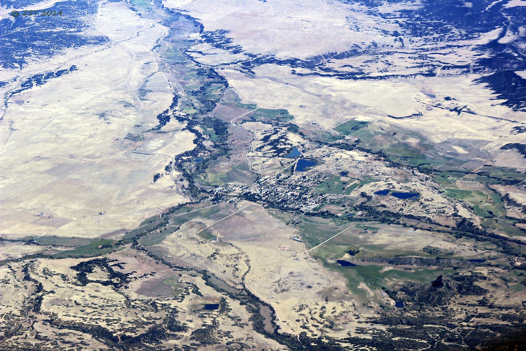
Satellite Map:
Related Photos:

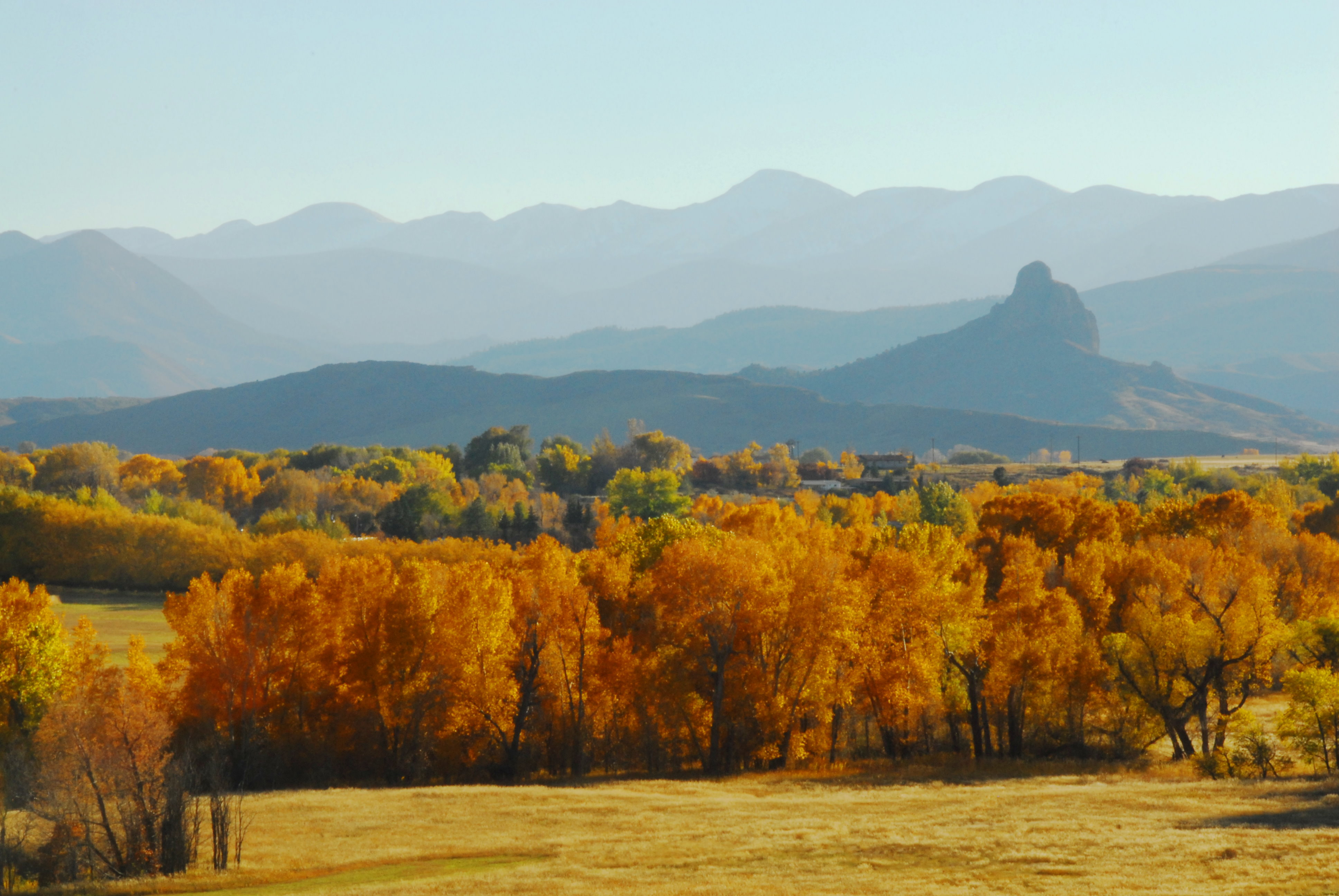
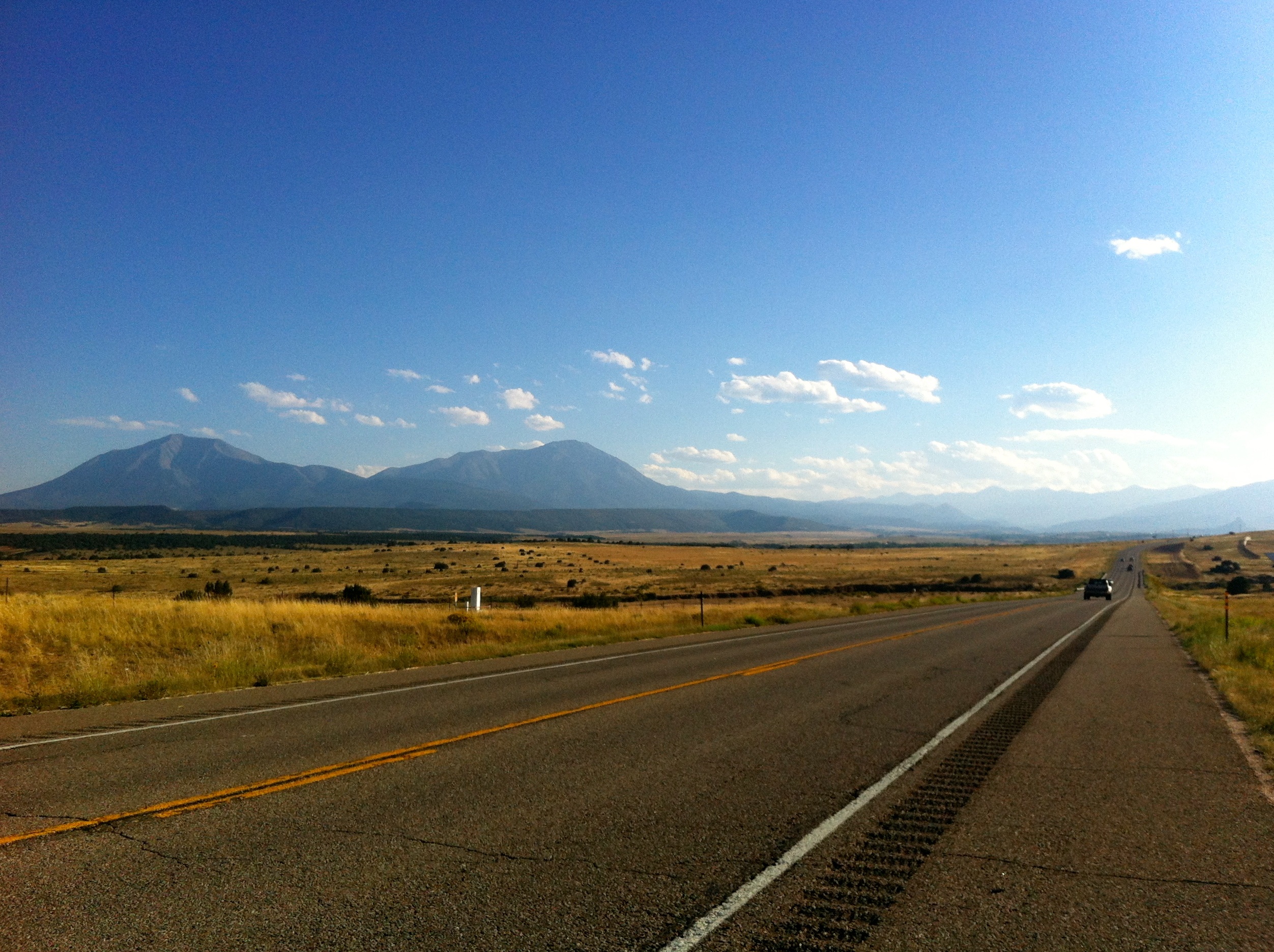
The Spanish Peaks
All Roads

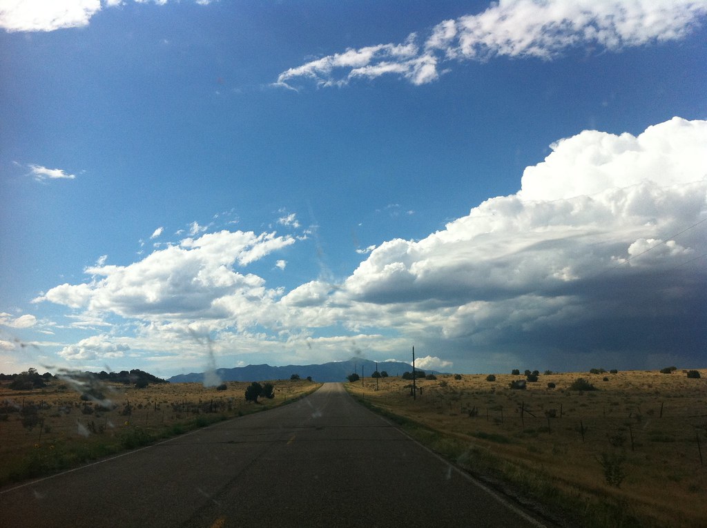
Storm Approaching
Flowers In A Field
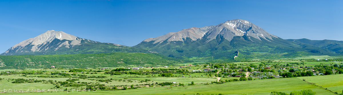
Spanish Peaks
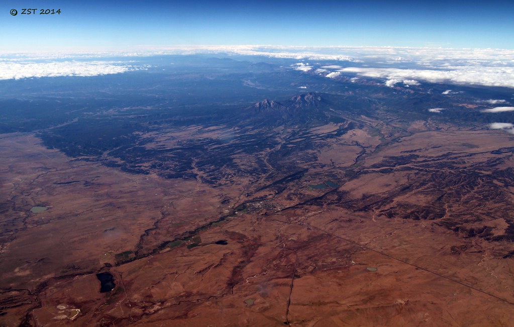
Southern Rockies

Sunflower sunset

Spanish Peaks HDR Pano Small
La Veta, Colorado

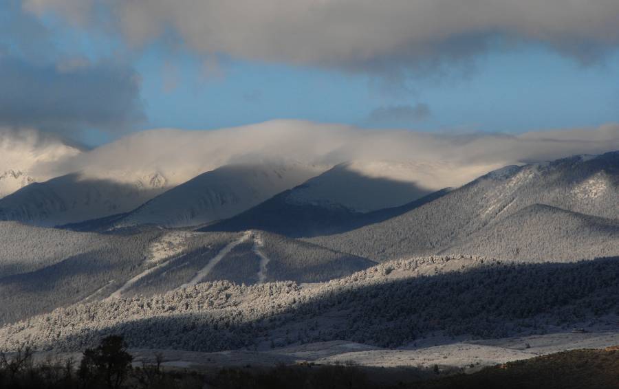
Centennial State
East Spanish Peak

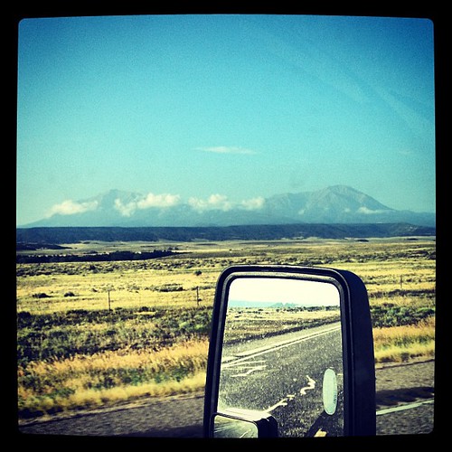
Sunset in Colorado

photo.JPG
Spanish Peaks
LaVeta, CO
Rookies in Sight

Deer in the backyard
Camera Roll-104
La Veta, CO & Spanish Peaks
Spring Storm

Spanish Peaks
Topographic Map of Elk Trail, Walsenburg, CO, USA
Find elevation by address:

Places near Elk Trail, Walsenburg, CO, USA:
20 Moose Trail
88 Buffalo Dr N
70 Moose Trail
Big Horn Drive
91 Bear Trail
363 Vega Rd
363 Vega Rd
633 Indian Creek Rd
Huerfano County
282 Seneca Cir
River Ridge Trail
1188 Cherokee Dr
25 Apache Dr
25 Gibson Peak Ct
Raspberry Mountain Ranch
Lathrop State Park
687 Bear Ridge Rd
2300 County Rd 450
Willis Drive
341 Arrowhead Dr
Recent Searches:
- Elevation of Corso Fratelli Cairoli, 35, Macerata MC, Italy
- Elevation of Tallevast Rd, Sarasota, FL, USA
- Elevation of 4th St E, Sonoma, CA, USA
- Elevation of Black Hollow Rd, Pennsdale, PA, USA
- Elevation of Oakland Ave, Williamsport, PA, USA
- Elevation of Pedrógão Grande, Portugal
- Elevation of Klee Dr, Martinsburg, WV, USA
- Elevation of Via Roma, Pieranica CR, Italy
- Elevation of Tavkvetili Mountain, Georgia
- Elevation of Hartfords Bluff Cir, Mt Pleasant, SC, USA