Elevation of Elk Mountain, Colorado, USA
Location: United States > Colorado > Grand County > Hot Sulphur Springs >
Longitude: -106.12835
Latitude: 40.1619295
Elevation: 3436m / 11273feet
Barometric Pressure: 66KPa
Elevation Map:
Satellite Map:
Related Photos:

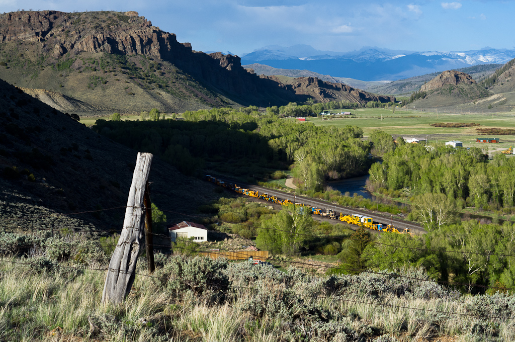
Willow Creek Bridge
Hot Sulphur to the Divide
Topographic Map of Elk Mountain, Colorado, USA
Find elevation by address:

Places near Elk Mountain, Colorado, USA:
Corral Peak South
County Rd, Parshall, CO, USA
3640 Co-125
3640 Co-125
C Lazy U Ranch
Windy Gap Reservoir
5294 Co Rd 41
Apiatan Mountain
Granby
925 E Garnet Ave
42 Co Rd 4105
Mesa Circle
Granby Dam
206 Co Rd 4403
41 County Road
12082 Us-34
12703 Us-34
463 Co Rd 48
463 Co Rd 48
463 Co Rd 48
Recent Searches:
- Elevation of Corso Fratelli Cairoli, 35, Macerata MC, Italy
- Elevation of Tallevast Rd, Sarasota, FL, USA
- Elevation of 4th St E, Sonoma, CA, USA
- Elevation of Black Hollow Rd, Pennsdale, PA, USA
- Elevation of Oakland Ave, Williamsport, PA, USA
- Elevation of Pedrógão Grande, Portugal
- Elevation of Klee Dr, Martinsburg, WV, USA
- Elevation of Via Roma, Pieranica CR, Italy
- Elevation of Tavkvetili Mountain, Georgia
- Elevation of Hartfords Bluff Cir, Mt Pleasant, SC, USA