Elevation of Eldorado, ND, USA
Location: United States > North Dakota > Traill County >
Longitude: -97.004129
Latitude: 47.4514703
Elevation: 271m / 889feet
Barometric Pressure: 98KPa
Elevation Map:
Satellite Map:
Related Photos:

Electric Heart

Fallin' For You

North Dakota seems just a blur in the winter

Sun Dogs North of Fargo

Moment Frozen in Time
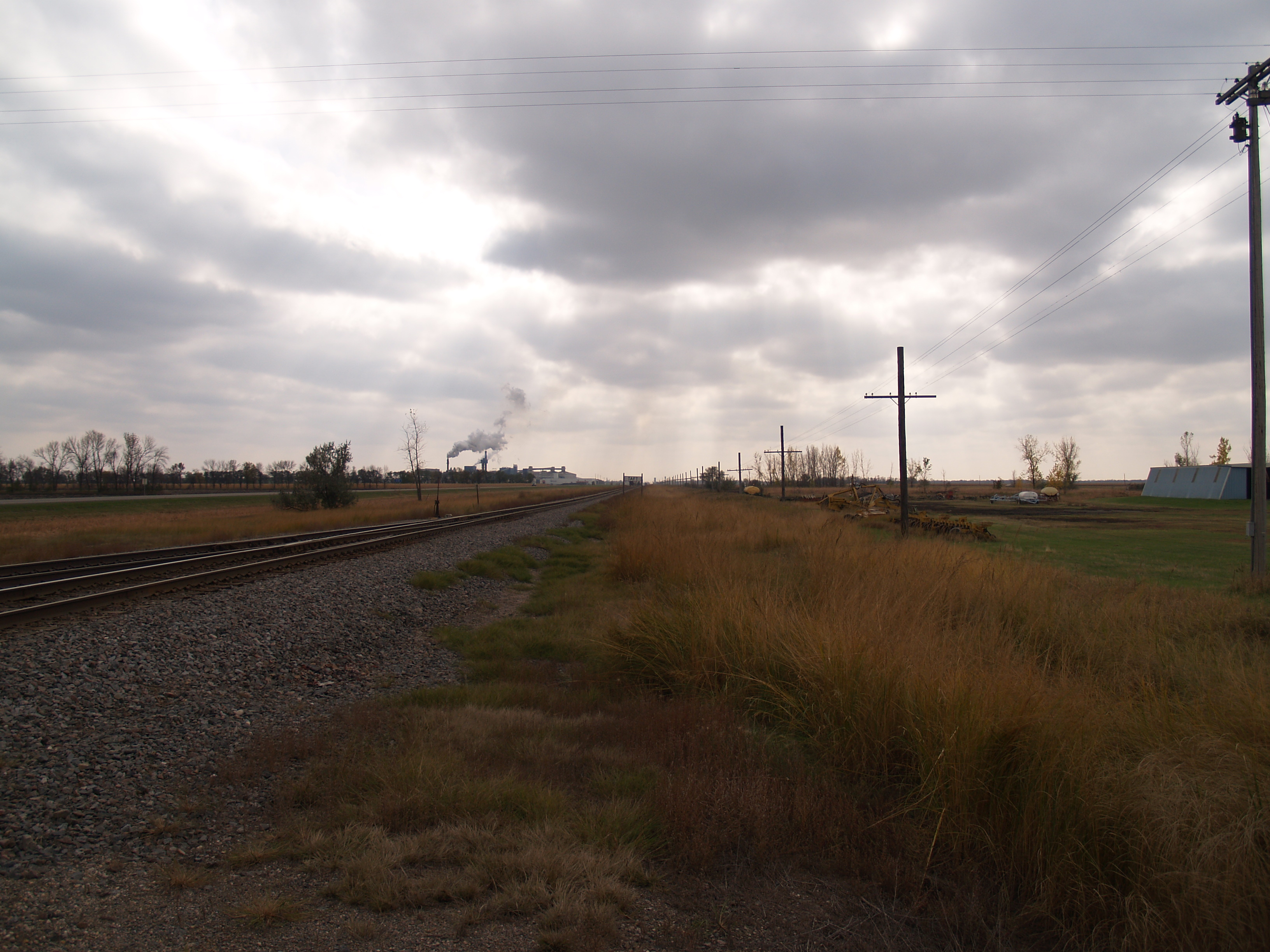
Taft, North Dakota
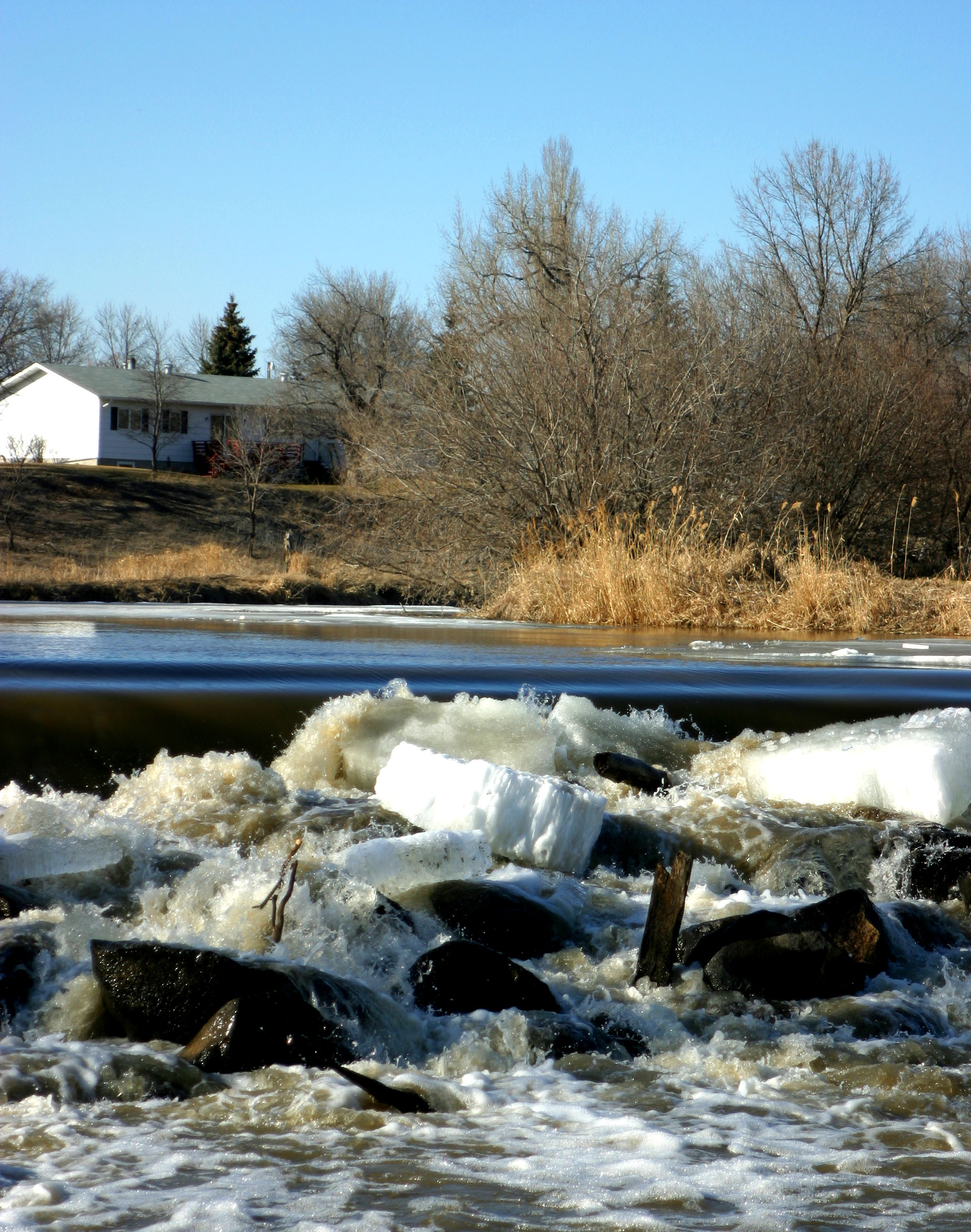
River Ice
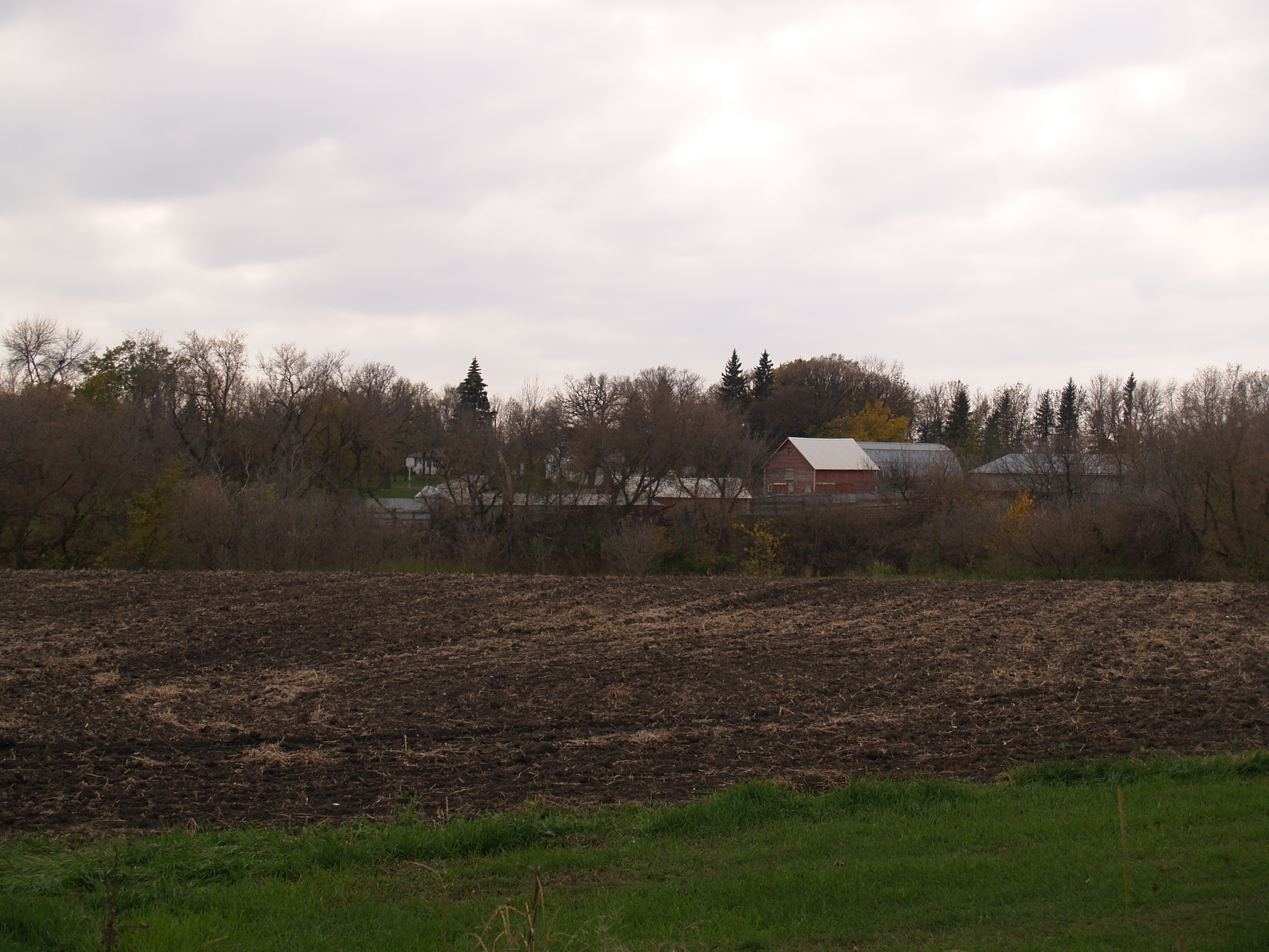
Caledonia, North Dakota
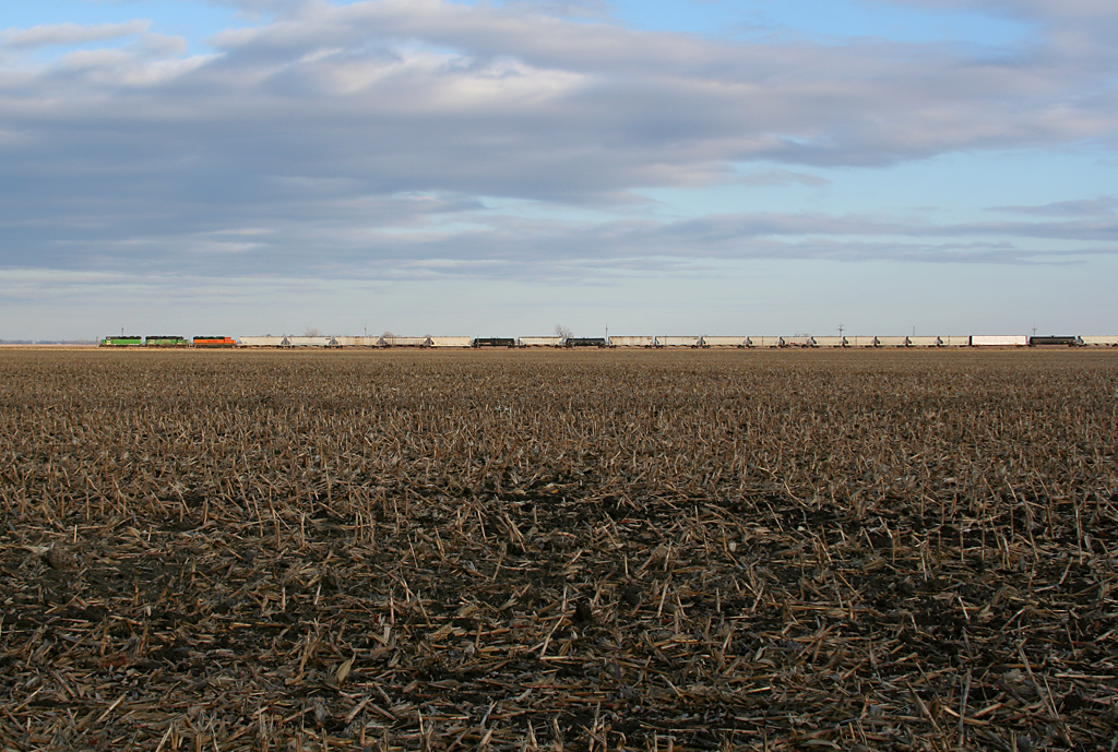
bnsf2903kelso-1
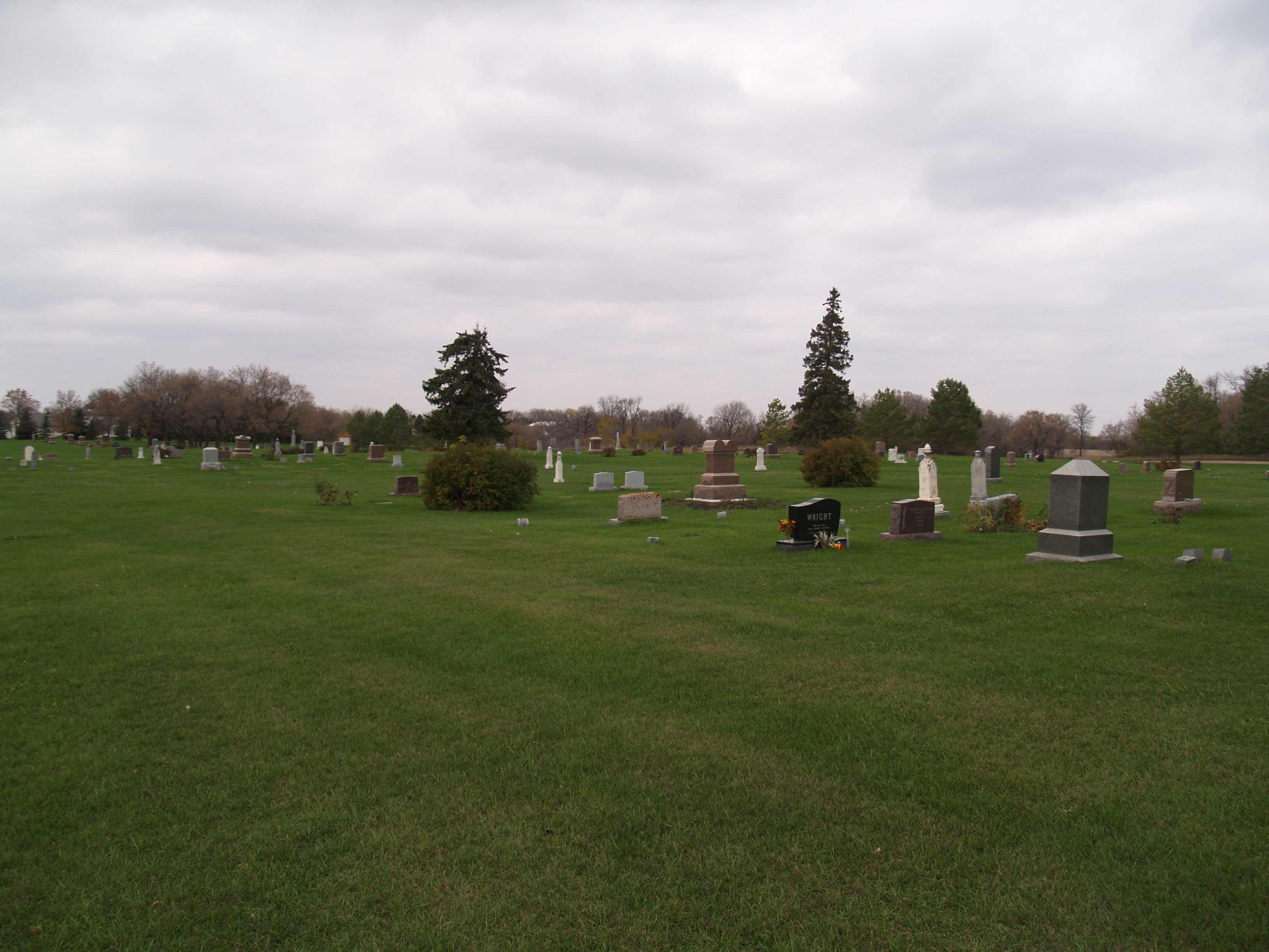
Caledonia, North Dakota
Caledonia, North Dakota
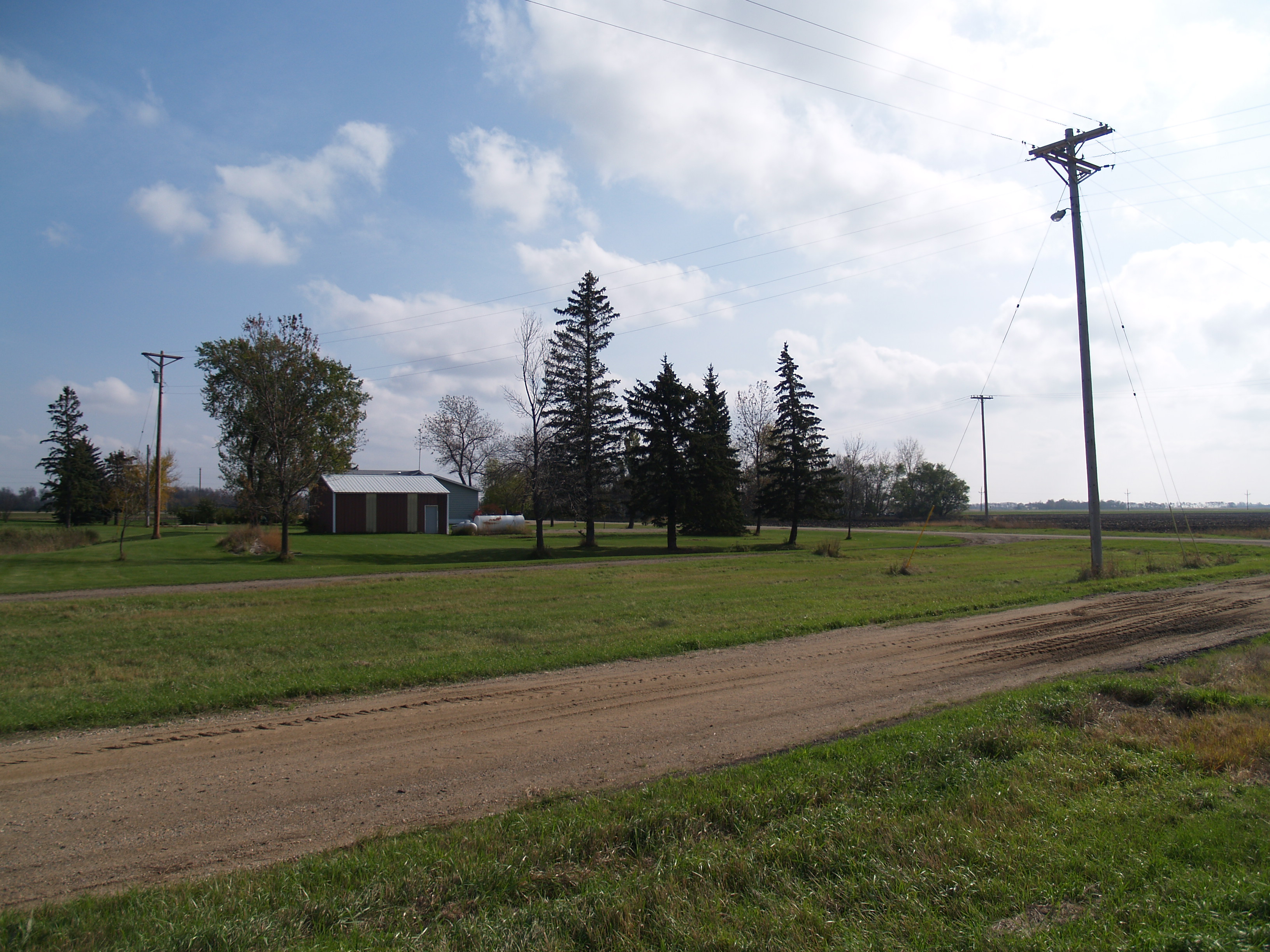
Kelso, North Dakota
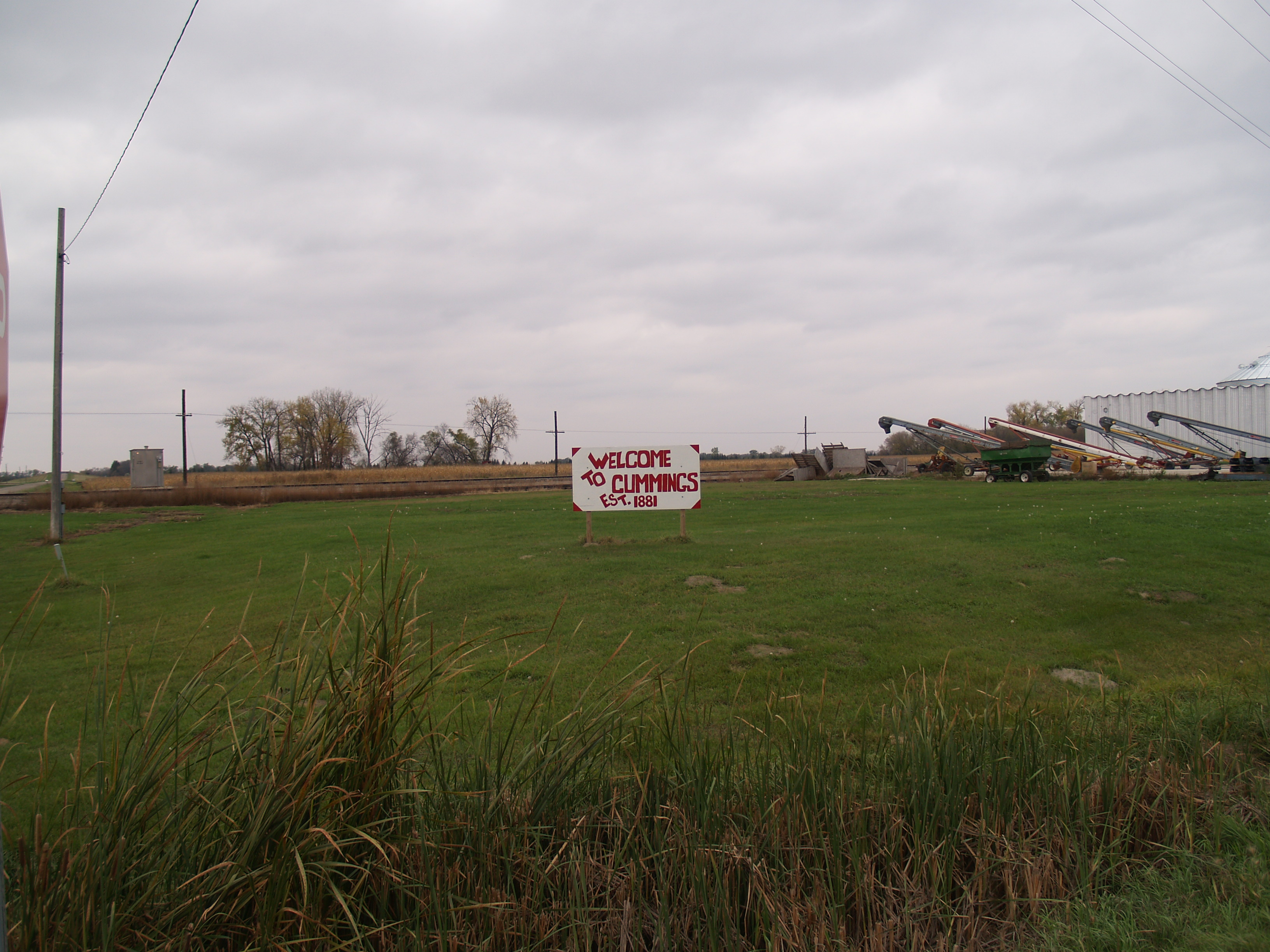
Cummings, North Dakota
Kelso, North Dakota
Kelso, North Dakota
Topographic Map of Eldorado, ND, USA
Find elevation by address:

Places in Eldorado, ND, USA:
Places near Eldorado, ND, USA:
1077 245th Ave
3rd St, Nielsville, MN, USA
3rd St W, Halstad, MN, USA
Halstad
Grandin
1197 200th Ave
US-75, Hendrum, MN, USA
Noble
1/2 Ave SE, Gardner, ND, USA
Front St, Gardner, ND, USA
Thompson Ave, Fisher, MN, USA
Argusville
837 Leonards Way
107 Drake Ave
802 Sugar Dr
Georgetown
Atlantic Ave, Beltrami, MN, USA
Beltrami
380th Street Southwest
Norman County
Recent Searches:
- Elevation of Corso Fratelli Cairoli, 35, Macerata MC, Italy
- Elevation of Tallevast Rd, Sarasota, FL, USA
- Elevation of 4th St E, Sonoma, CA, USA
- Elevation of Black Hollow Rd, Pennsdale, PA, USA
- Elevation of Oakland Ave, Williamsport, PA, USA
- Elevation of Pedrógão Grande, Portugal
- Elevation of Klee Dr, Martinsburg, WV, USA
- Elevation of Via Roma, Pieranica CR, Italy
- Elevation of Tavkvetili Mountain, Georgia
- Elevation of Hartfords Bluff Cir, Mt Pleasant, SC, USA