Elevation of Elaine, AR, USA
Location: United States > Arkansas > Phillips County > Tappan Township >
Longitude: -90.852053
Latitude: 34.3084371
Elevation: 53m / 174feet
Barometric Pressure: 101KPa
Elevation Map:
Satellite Map:
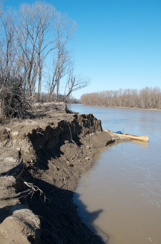
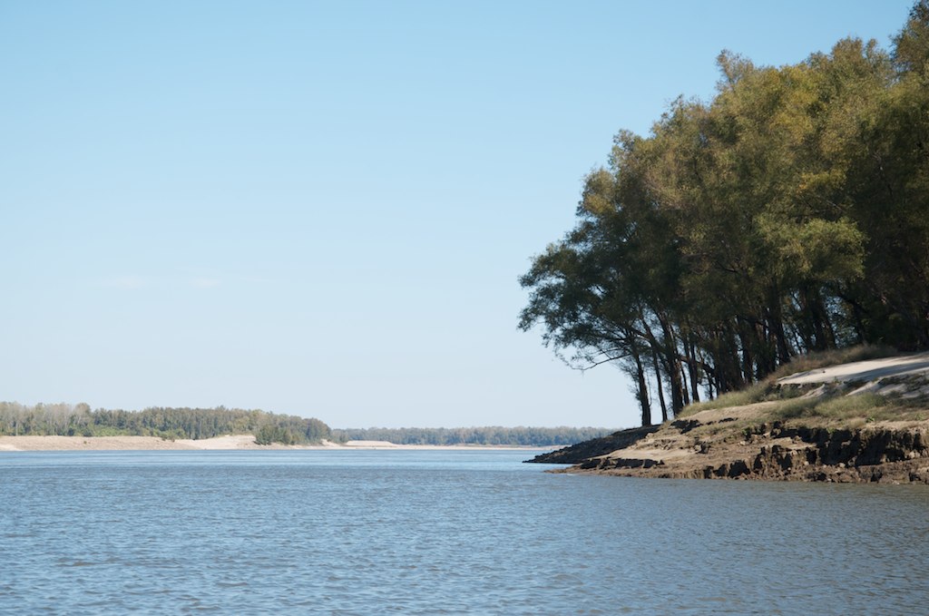
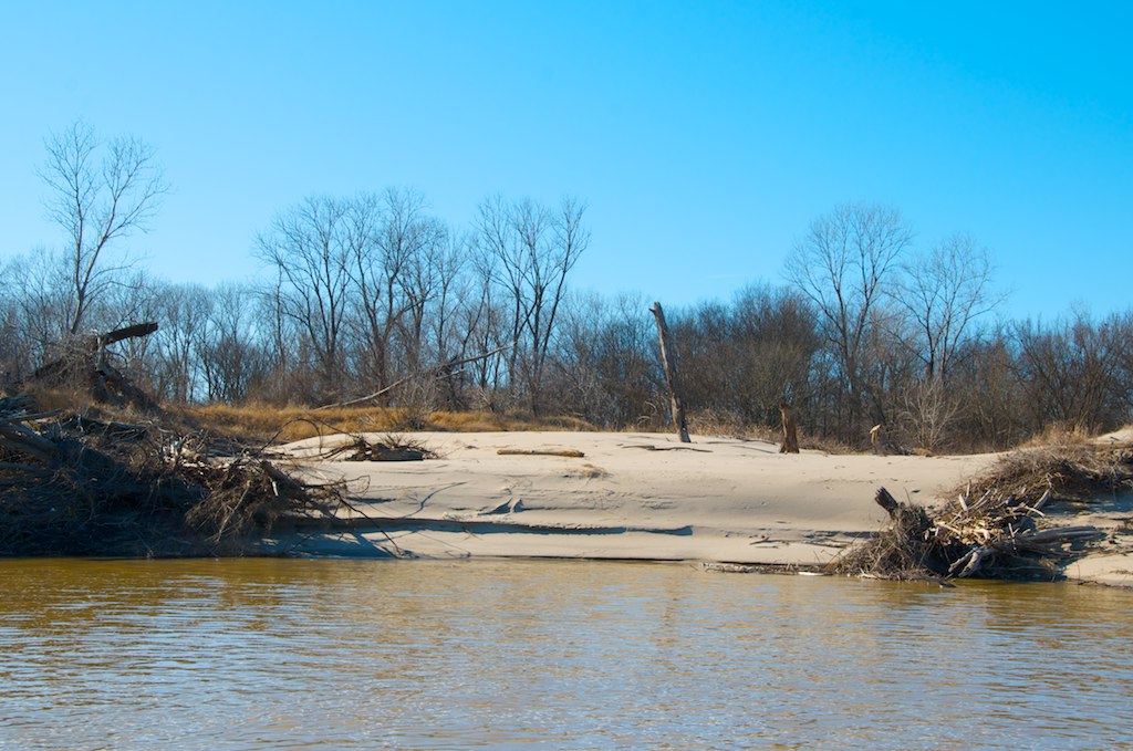
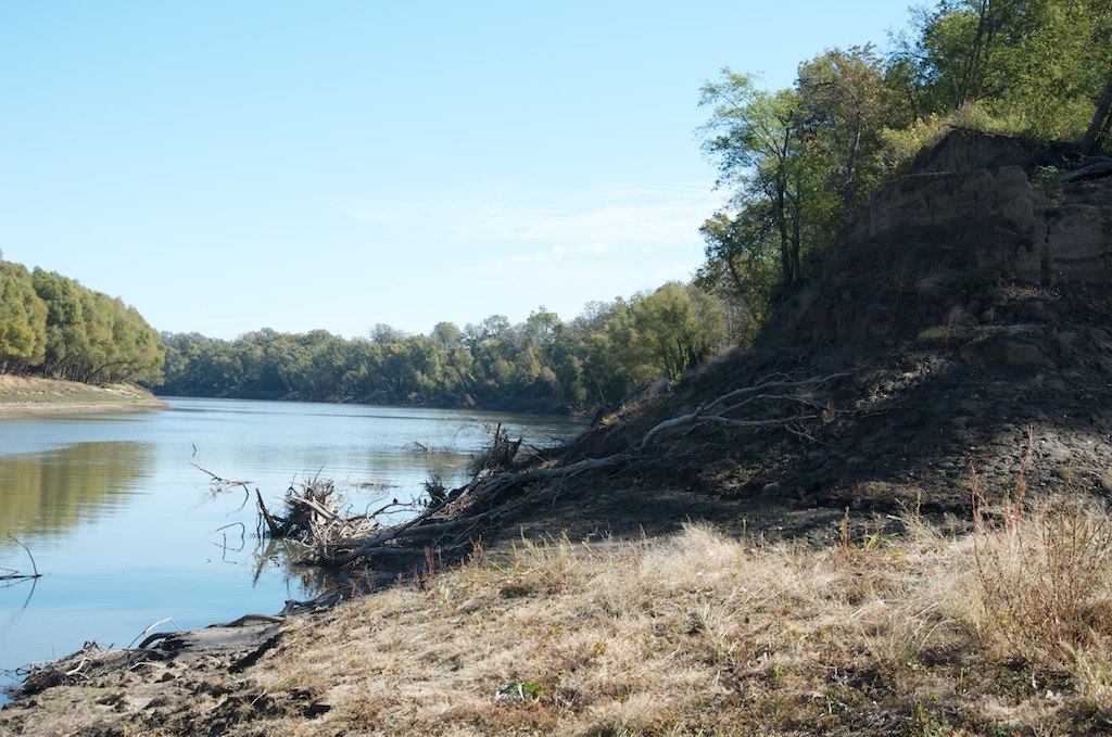
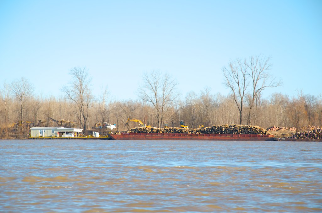
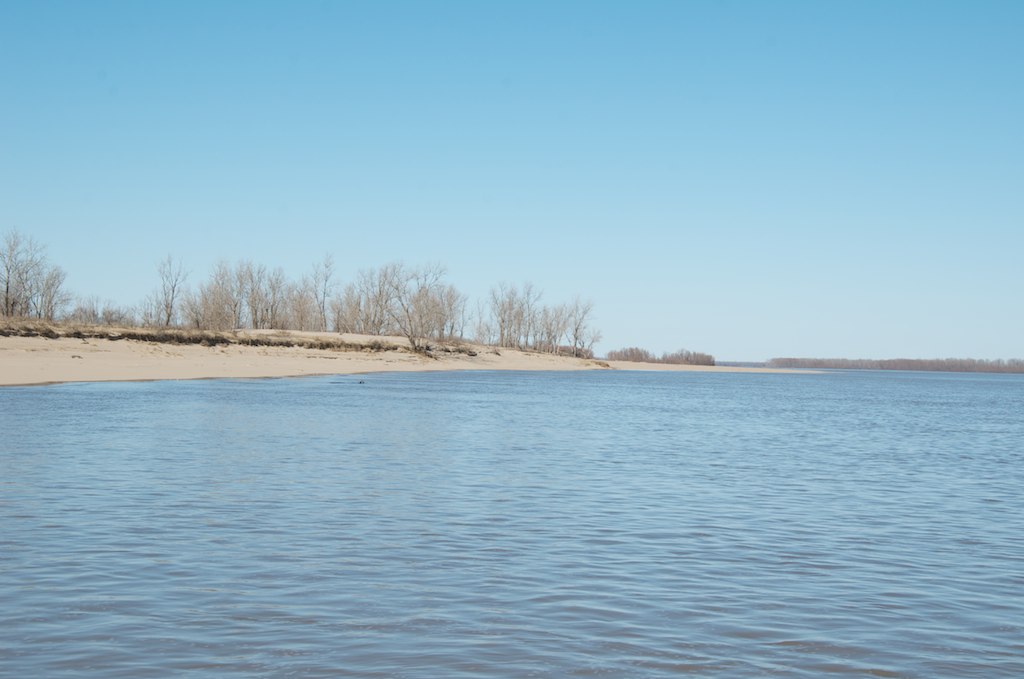
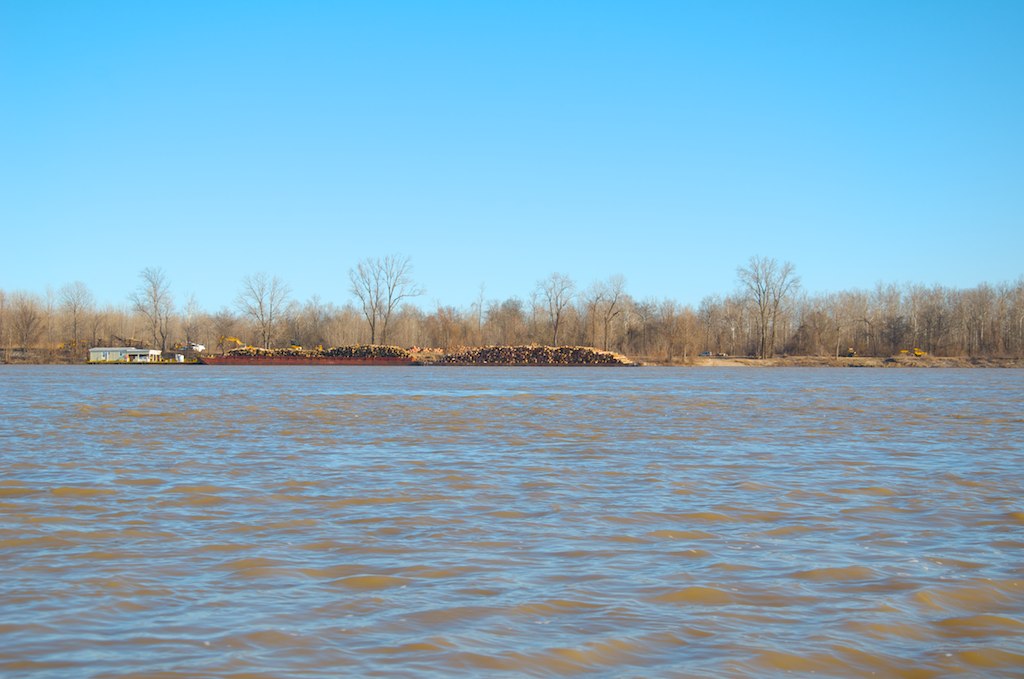
Related Photos:

IMG_1082

IMG_1087


_DSC5739
_DSC1161

_DSC5730

_DSC5771
_DSC5754
_DSC1130
_DSC5781

_DSC5773
_DSC5753

_DSC5784
_DSC5780
Topographic Map of Elaine, AR, USA
Find elevation by address:

Places in Elaine, AR, USA:
Places near Elaine, AR, USA:
AR-44, Elaine, AR, USA
Tappan Township
West Helena
Phillips County
MS-1, Clarksdale, MS, USA
Sheriff Ridge Ave, Clarksdale, MS, USA
Spring Creek Township
Turner
Coahoma County
Ford St, Clarksdale, MS, USA
W Main, Marvell, AR, USA
Marvell
Cypress Township
1608 College
1270 Ar-146
1270 Ar-146
State Hwy, Poplar Grove, AR, USA
Hornor Township
Crowfoot Lake
805 Spruce St
Recent Searches:
- Elevation of Corso Fratelli Cairoli, 35, Macerata MC, Italy
- Elevation of Tallevast Rd, Sarasota, FL, USA
- Elevation of 4th St E, Sonoma, CA, USA
- Elevation of Black Hollow Rd, Pennsdale, PA, USA
- Elevation of Oakland Ave, Williamsport, PA, USA
- Elevation of Pedrógão Grande, Portugal
- Elevation of Klee Dr, Martinsburg, WV, USA
- Elevation of Via Roma, Pieranica CR, Italy
- Elevation of Tavkvetili Mountain, Georgia
- Elevation of Hartfords Bluff Cir, Mt Pleasant, SC, USA