Elevation of El Paso, AR, USA
Location: United States > Arkansas > White County > El Paso Township >
Longitude: -92.095425
Latitude: 35.1261966
Elevation: 101m / 331feet
Barometric Pressure: 100KPa
Elevation Map:
Satellite Map:
Related Photos:

anticipation

Romance

Someone else's childhood, a mystery.

hay fever

Foggy morning
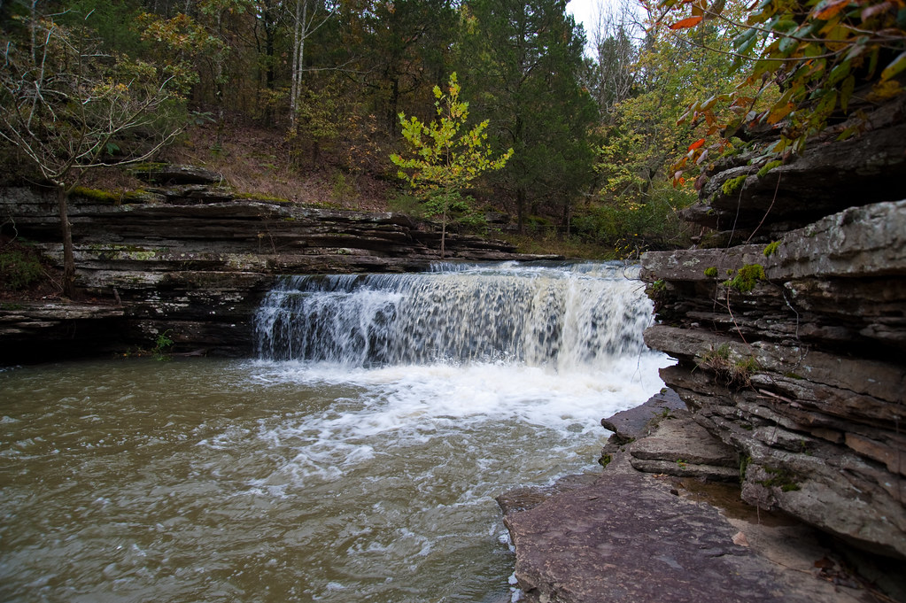
Romance Waterfalls
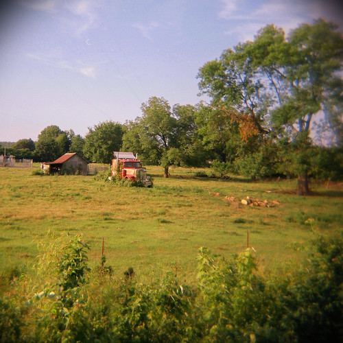
stuck in park
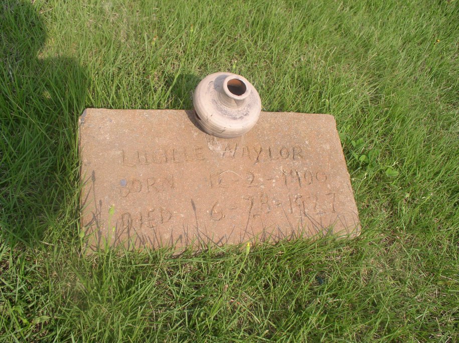
Naylor Lucille
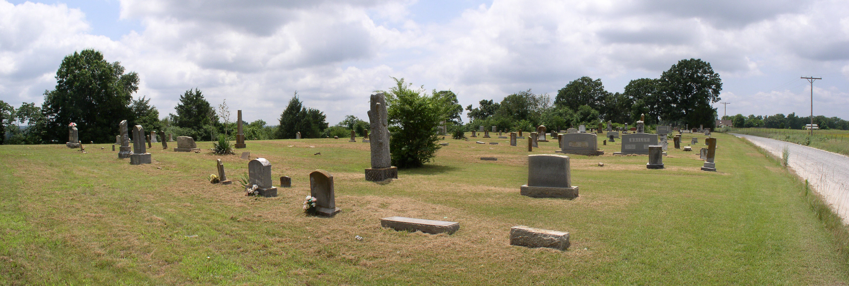
003 Mount Olive

Wilkerson Mary A
Topographic Map of El Paso, AR, USA
Find elevation by address:

Places near El Paso, AR, USA:
El Paso Township
199 Hidden Ridge Rd
199 Hidden Ridge Rd
Ballard Rd, Cabot, AR, USA
Cooper Ln, Austin, AR, USA
10 Lila Loop, Cabot, AR, USA
Magness Township
13 Greystone Ct, Cabot, AR, USA
811 Greystone Blvd
22 Cypress Point St
Pride Gap Rd, Cabot, AR, USA
30 Sally Haymes Rd, Austin, AR, USA
32 Wildwood Dr
100 Justin Ln
Deer Creek Dr, Cabot, AR, USA
Oak Ridge Dr, Austin, AR, USA
AR-5, Cabot, AR, USA
39 Ridge Rd
Antioch Township
118 Birchwood Cir
Recent Searches:
- Elevation of Corso Fratelli Cairoli, 35, Macerata MC, Italy
- Elevation of Tallevast Rd, Sarasota, FL, USA
- Elevation of 4th St E, Sonoma, CA, USA
- Elevation of Black Hollow Rd, Pennsdale, PA, USA
- Elevation of Oakland Ave, Williamsport, PA, USA
- Elevation of Pedrógão Grande, Portugal
- Elevation of Klee Dr, Martinsburg, WV, USA
- Elevation of Via Roma, Pieranica CR, Italy
- Elevation of Tavkvetili Mountain, Georgia
- Elevation of Hartfords Bluff Cir, Mt Pleasant, SC, USA