Elevation of Edmonson County, KY, USA
Location: United States > Kentucky >
Longitude: -86.215849
Latitude: 37.1941682
Elevation: 219m / 719feet
Barometric Pressure: 99KPa
Elevation Map:
Satellite Map:
Related Photos:
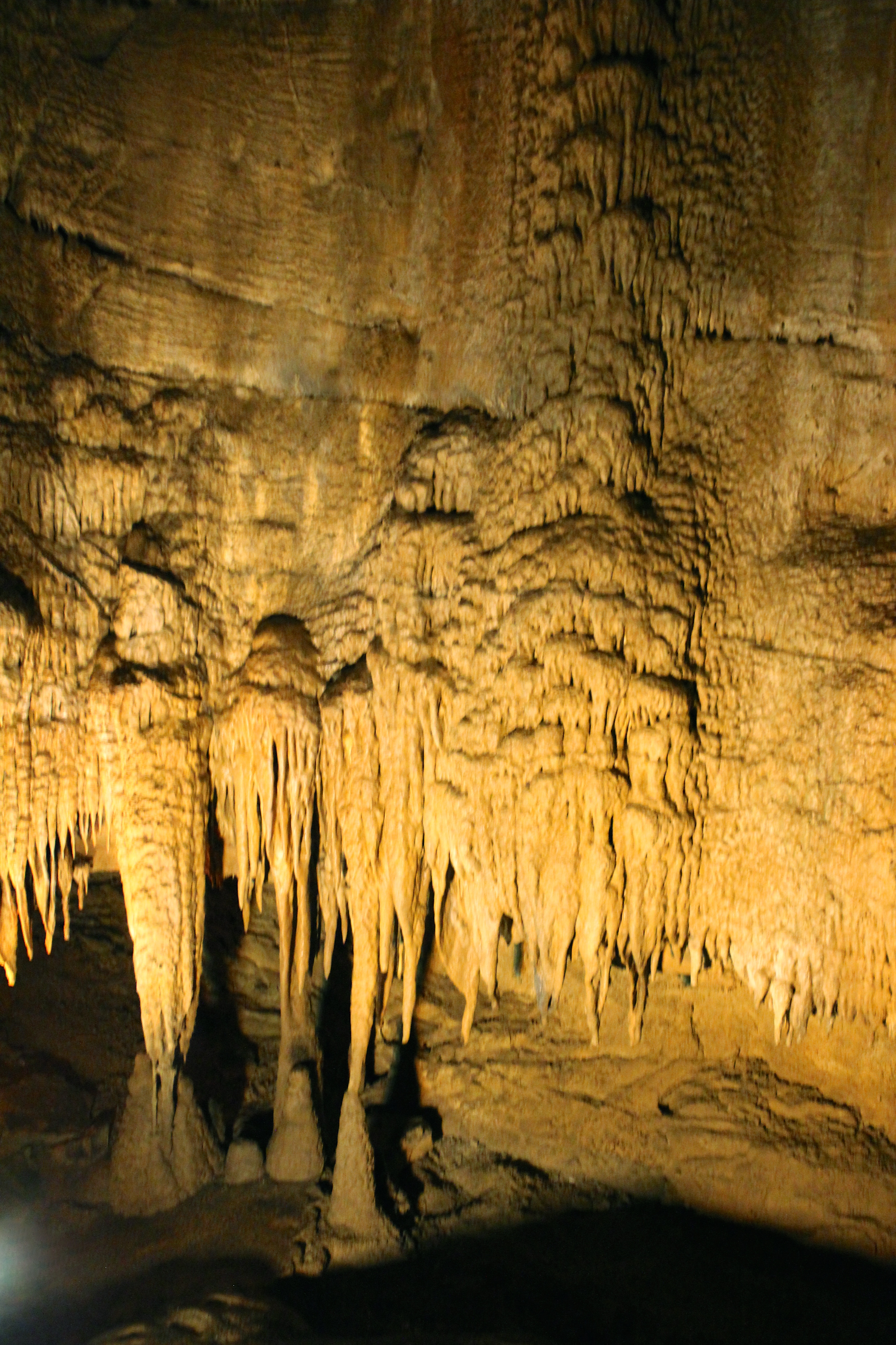
View of Frozen Niagara
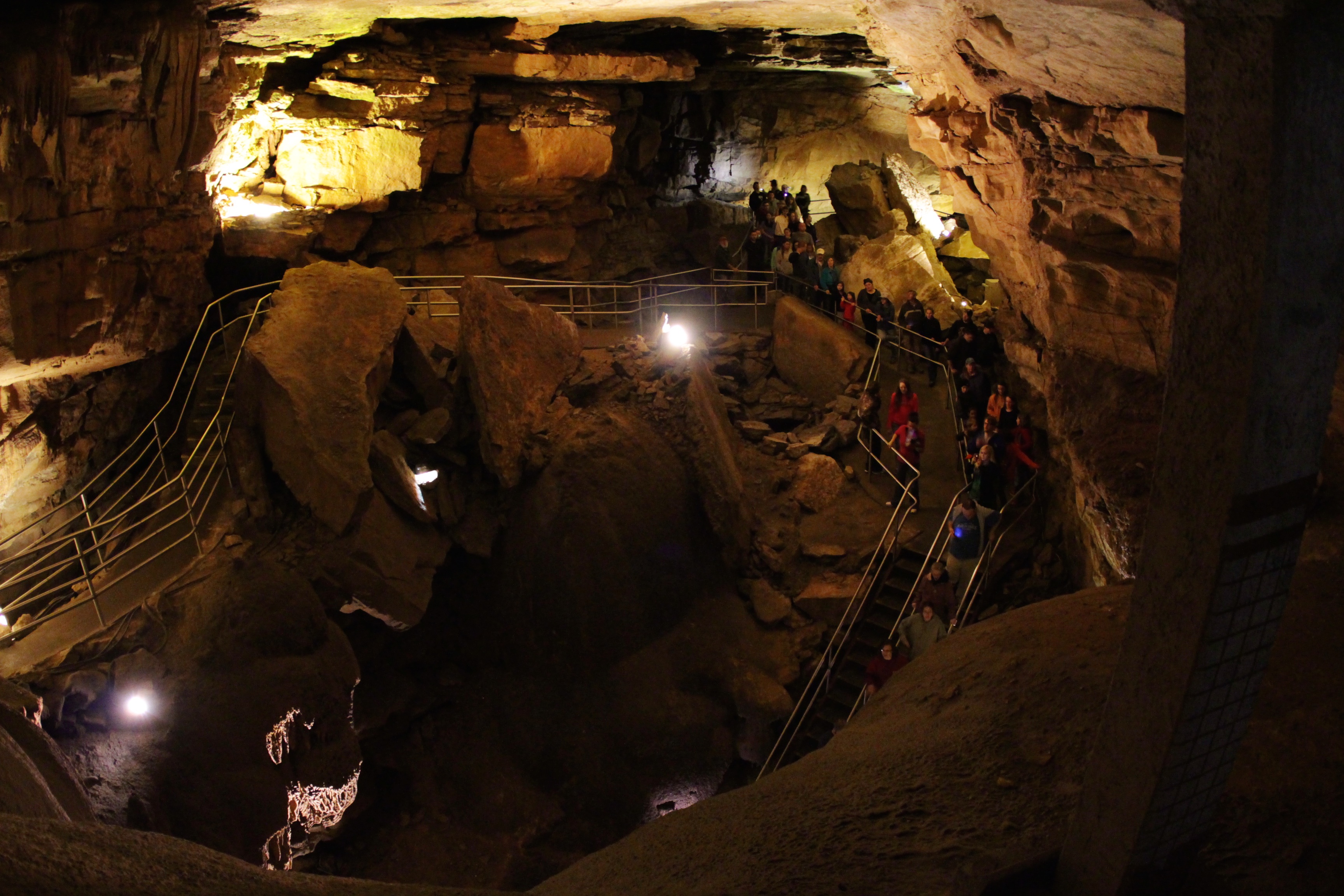
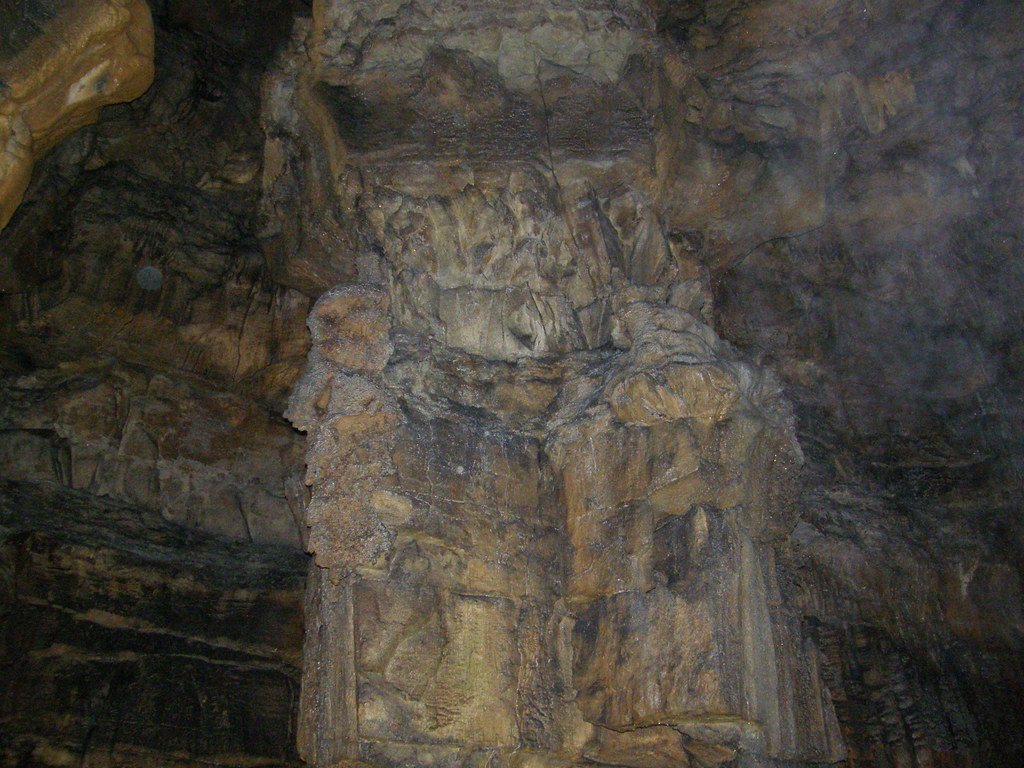
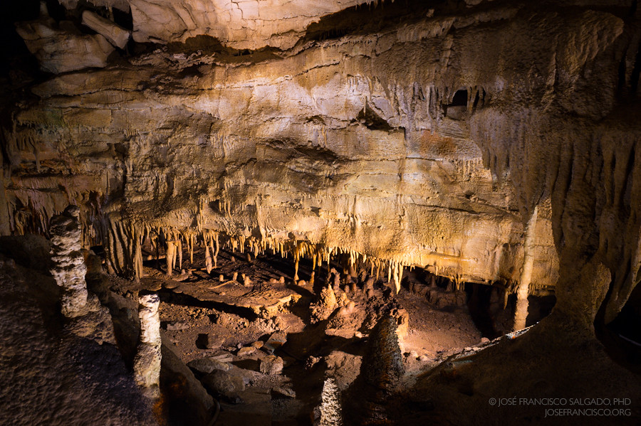
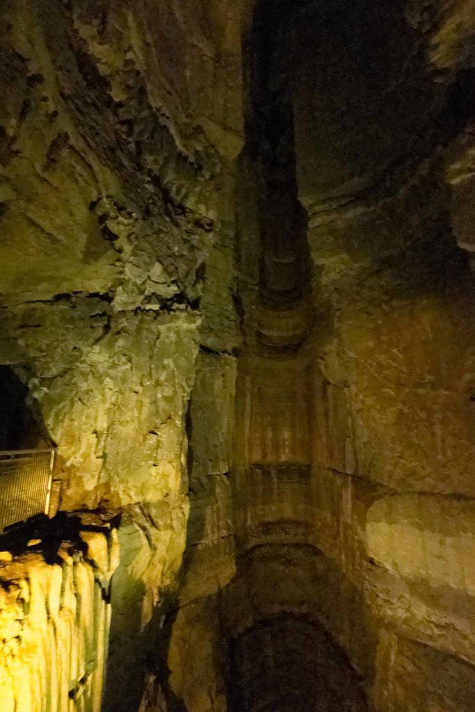
Giant's Coffin

The Altar 1866 vs 2011
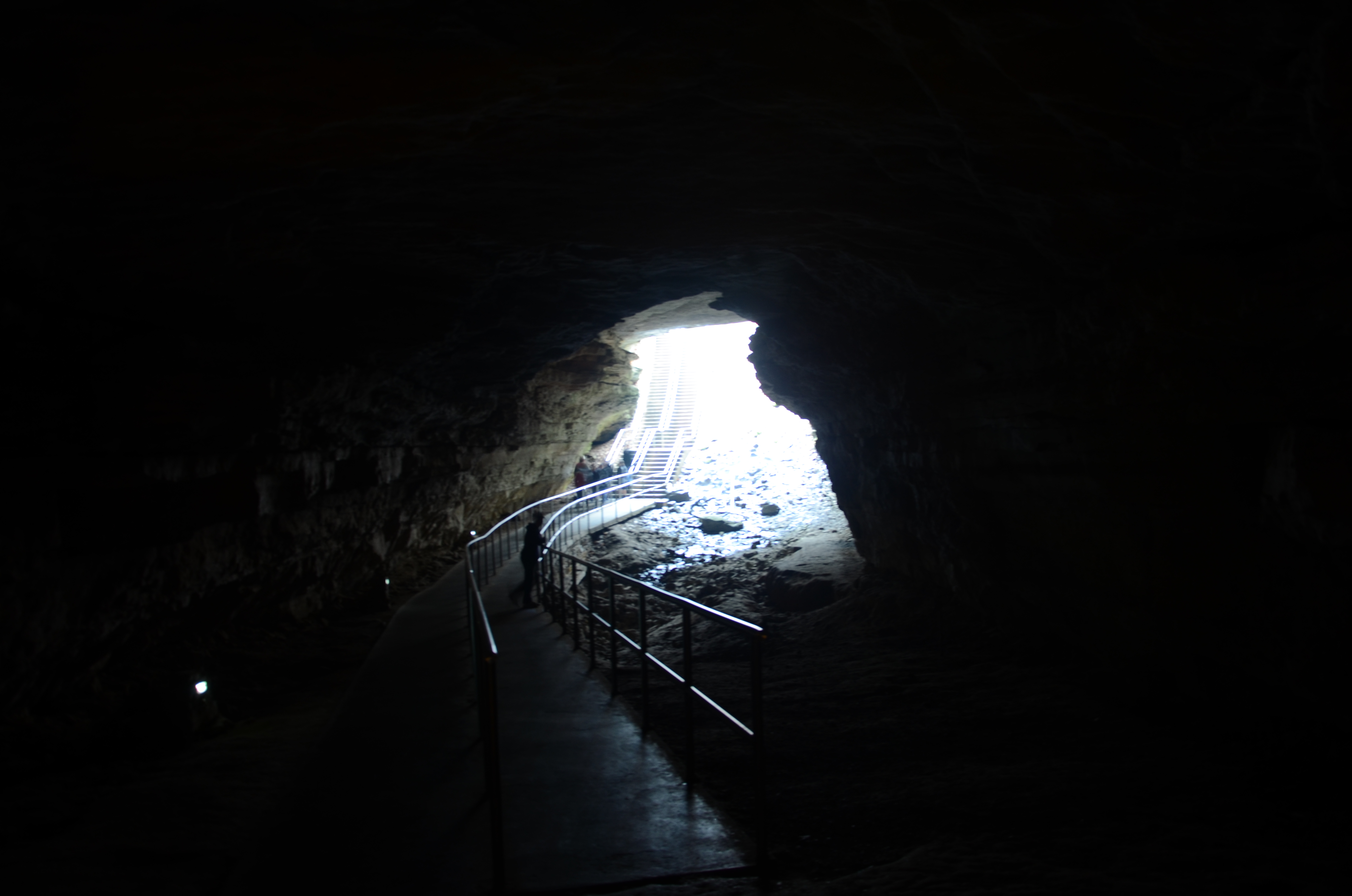
Historic Entrance
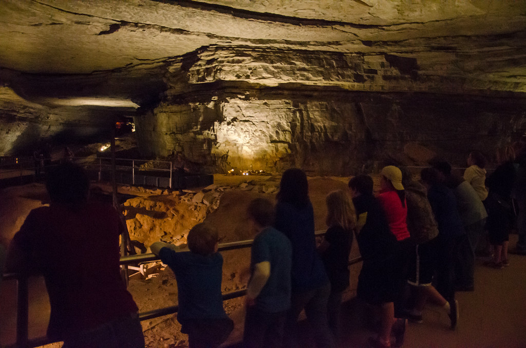
Viewing the old salpeter mine in the Rotunda
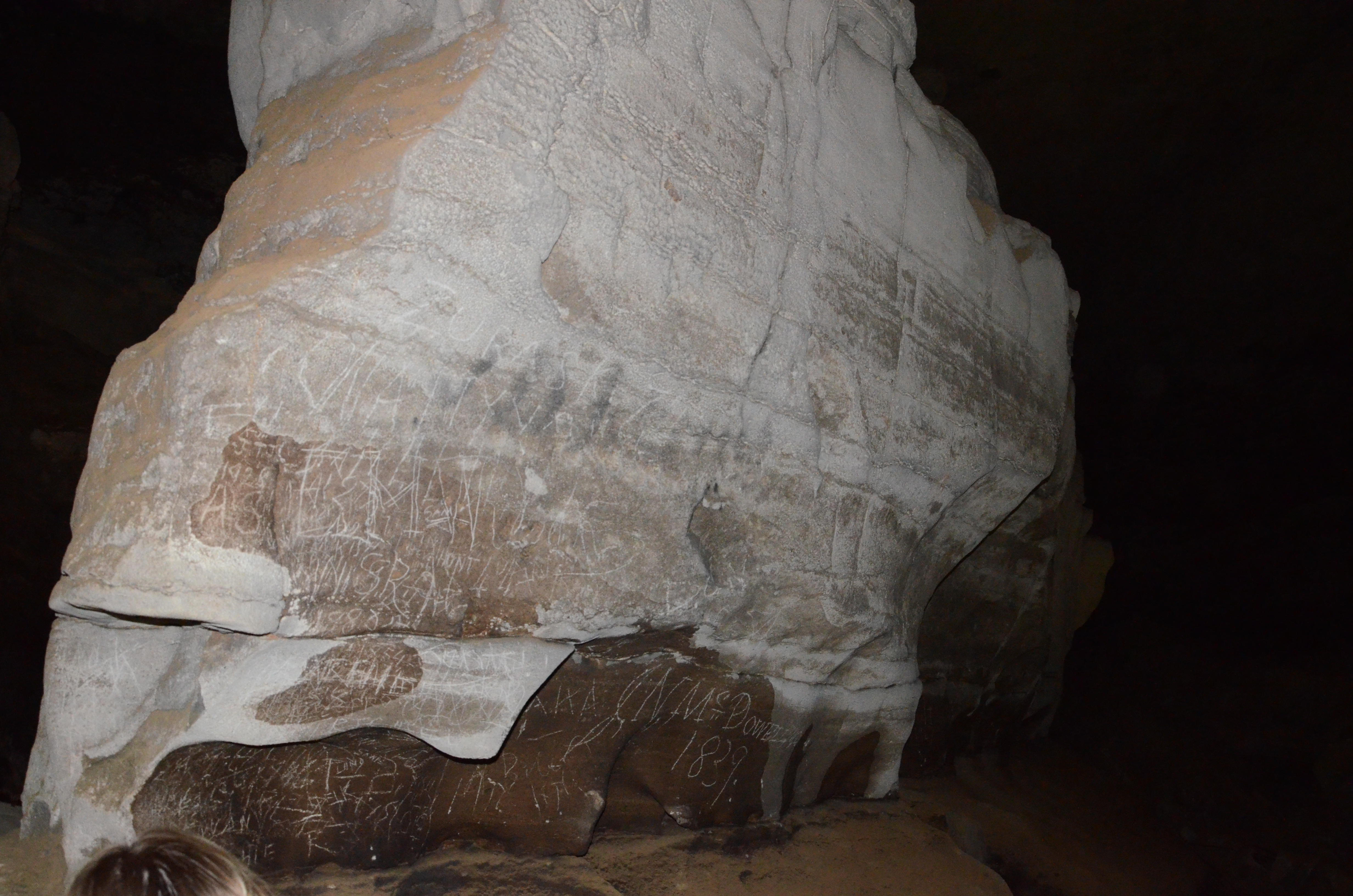
Giant's Coffin

A Kentucky #sunset from the rear view mirror. Witnessed this lovely #watercolorsky for 30 minutes! #clouds #skyporn #roadtrip #kytourism
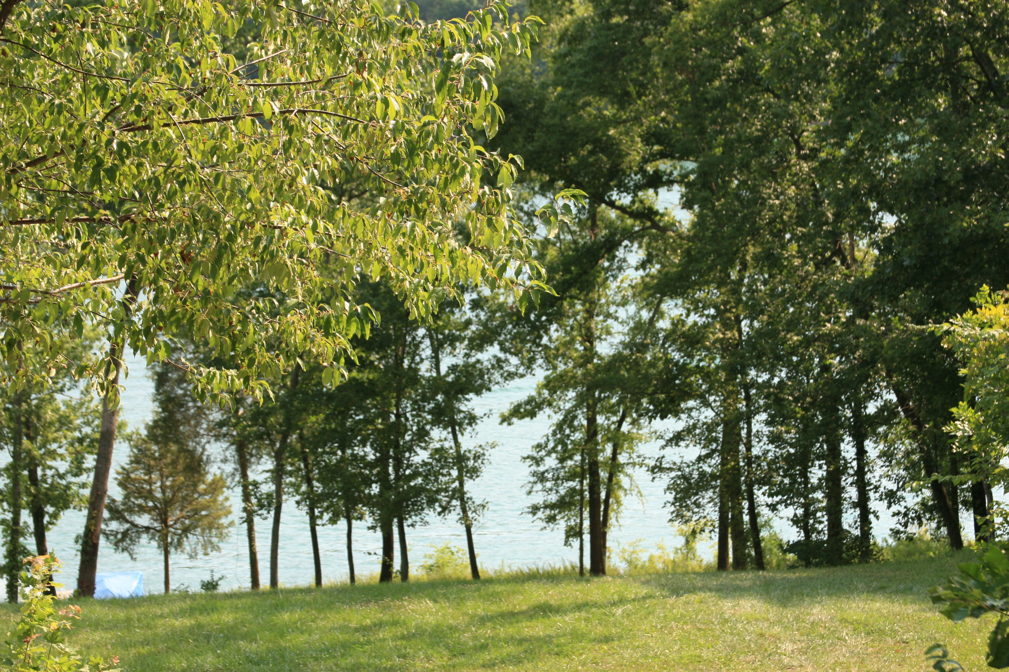
View from rental house
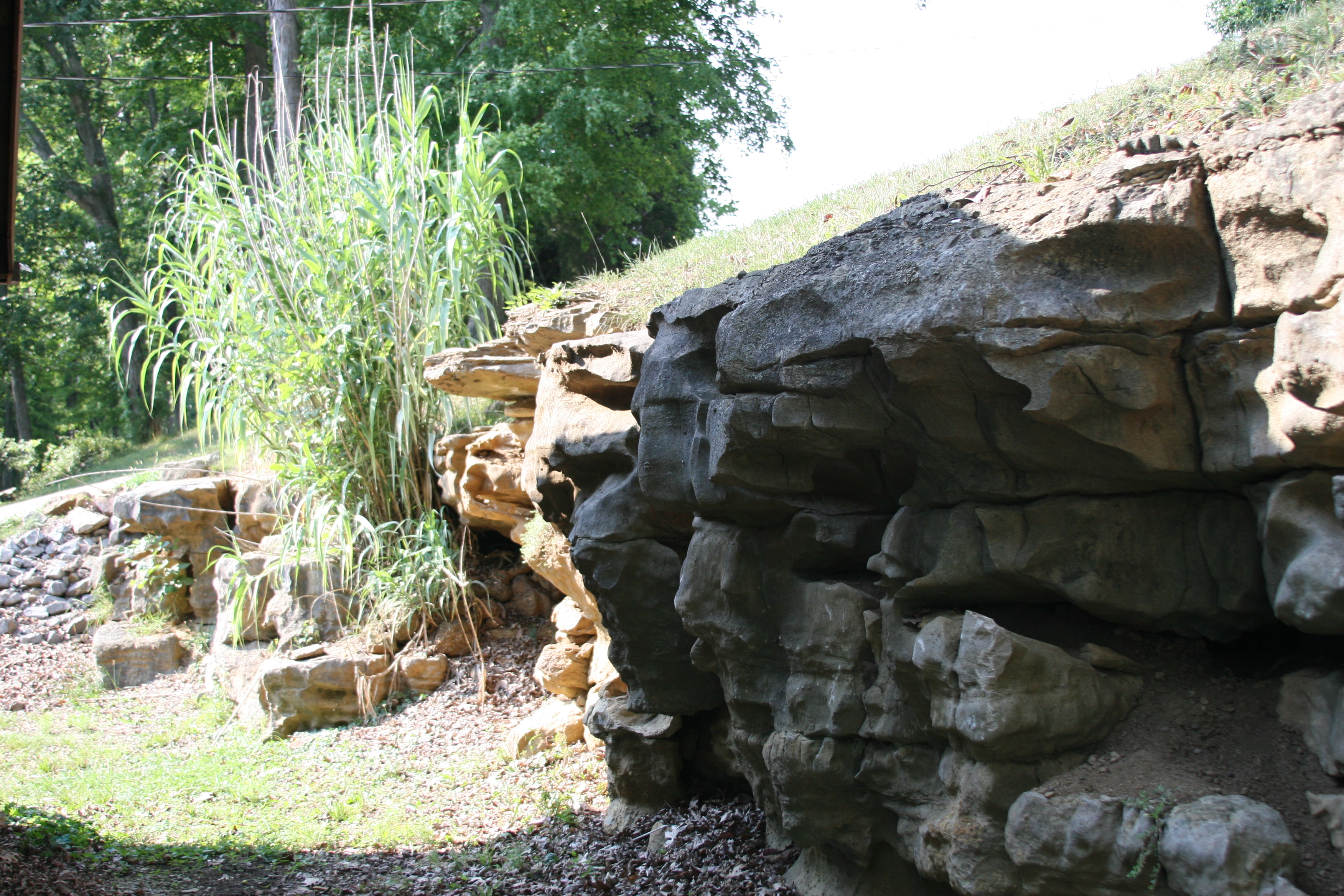
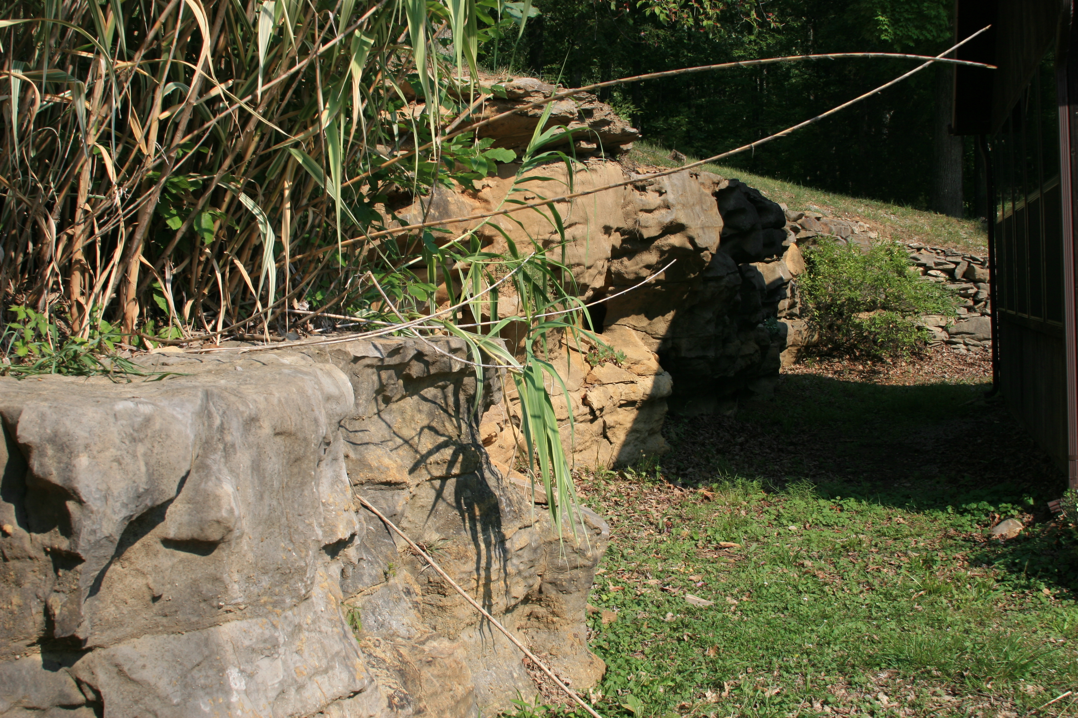
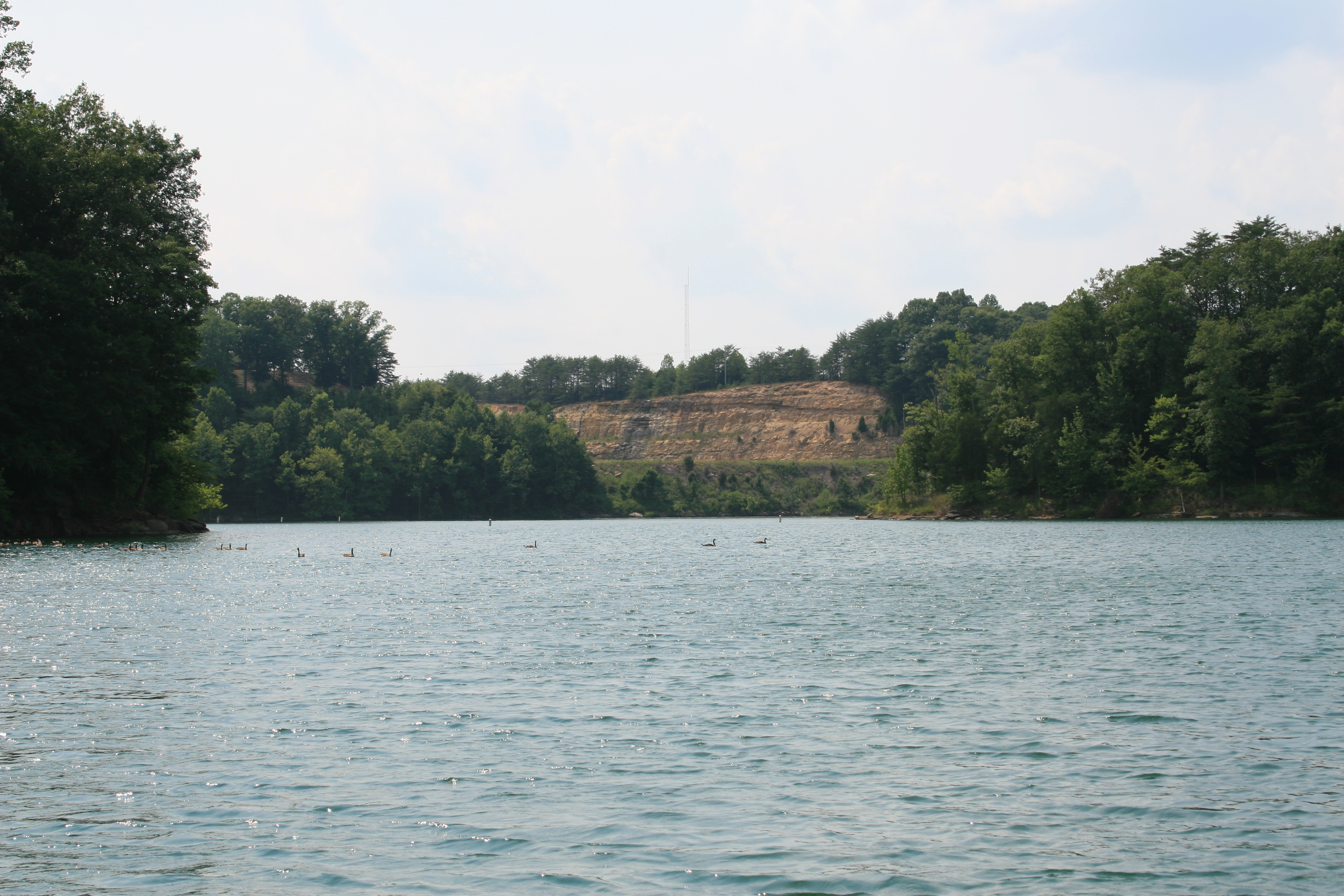
View of the Rocks behing the rental house at Nolin lake
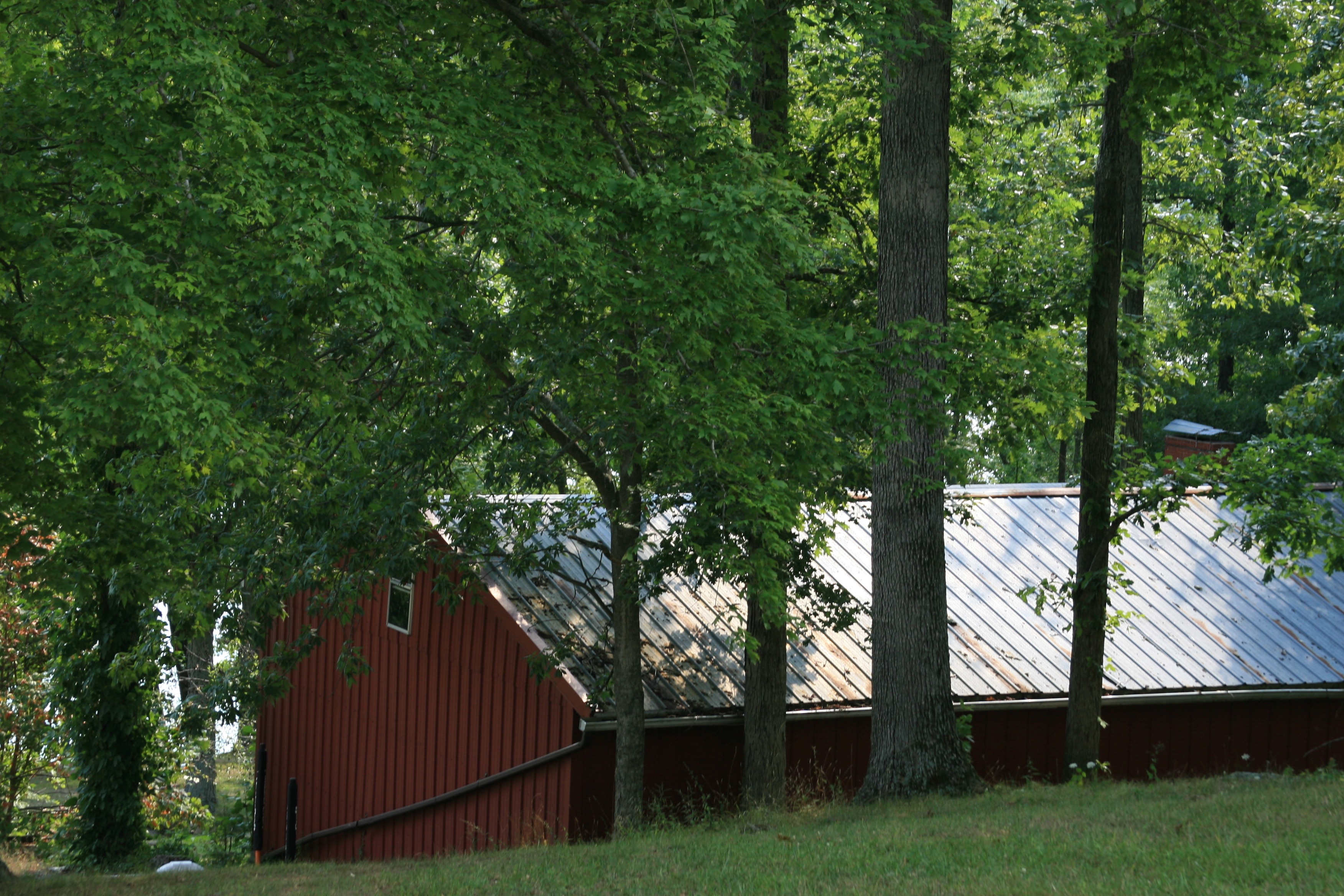
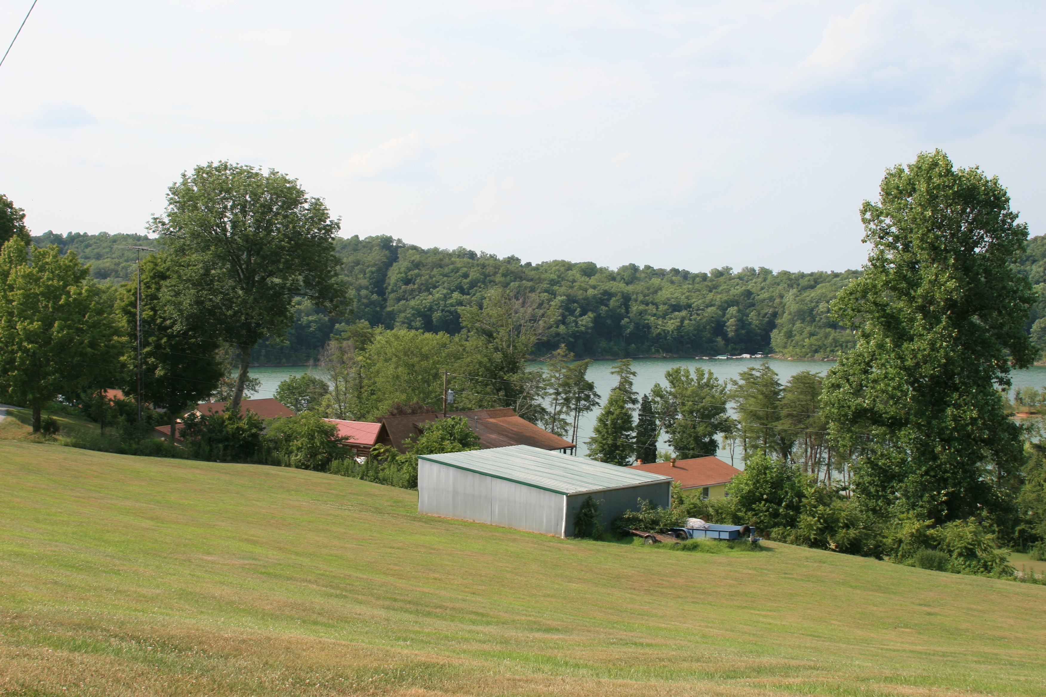
View of the garage
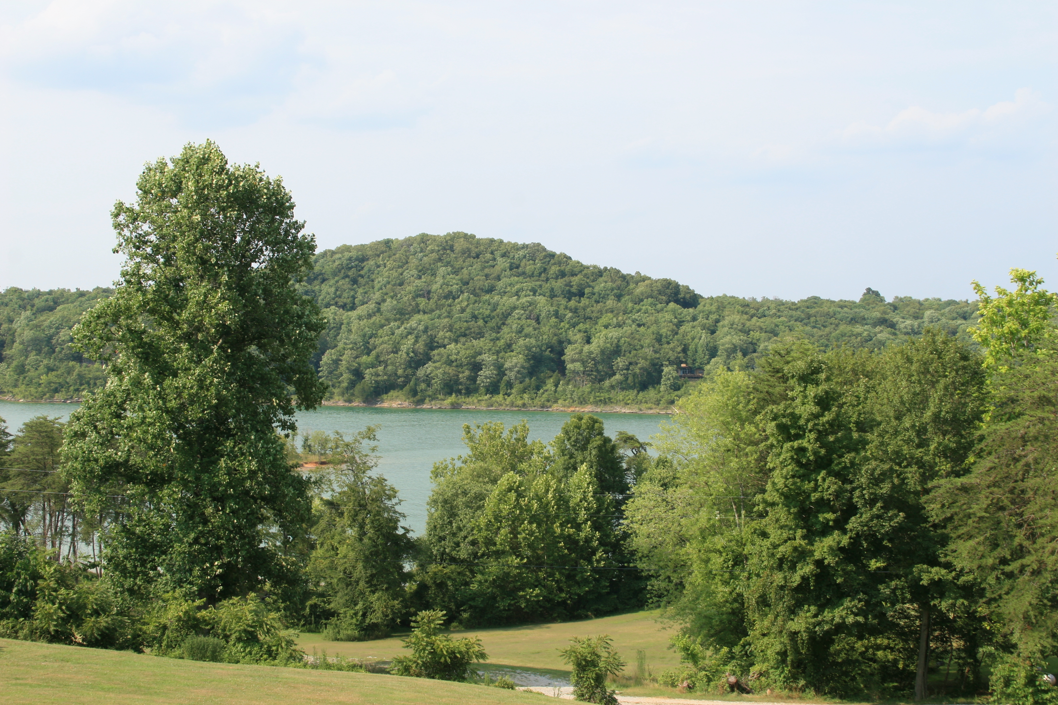
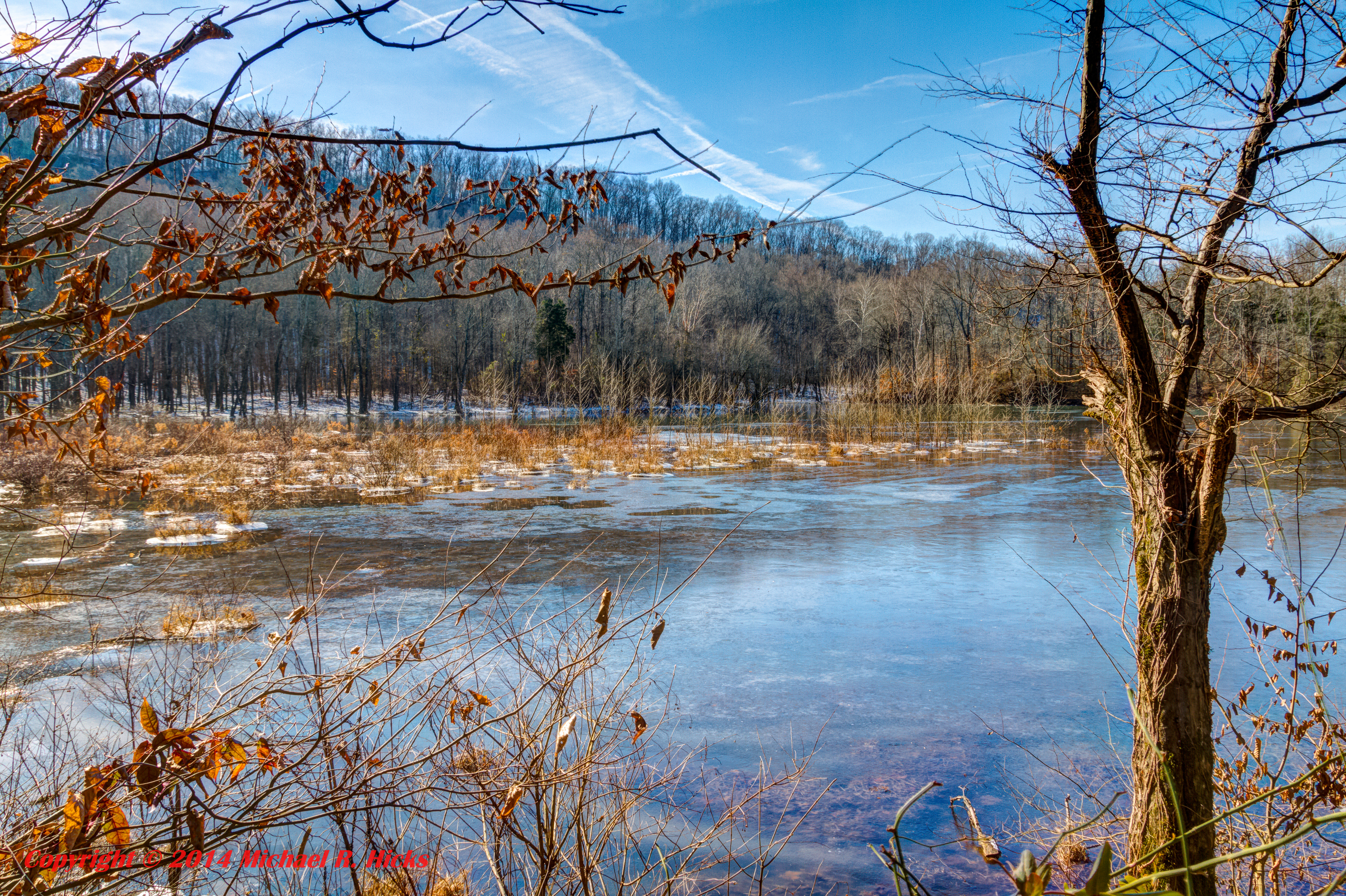
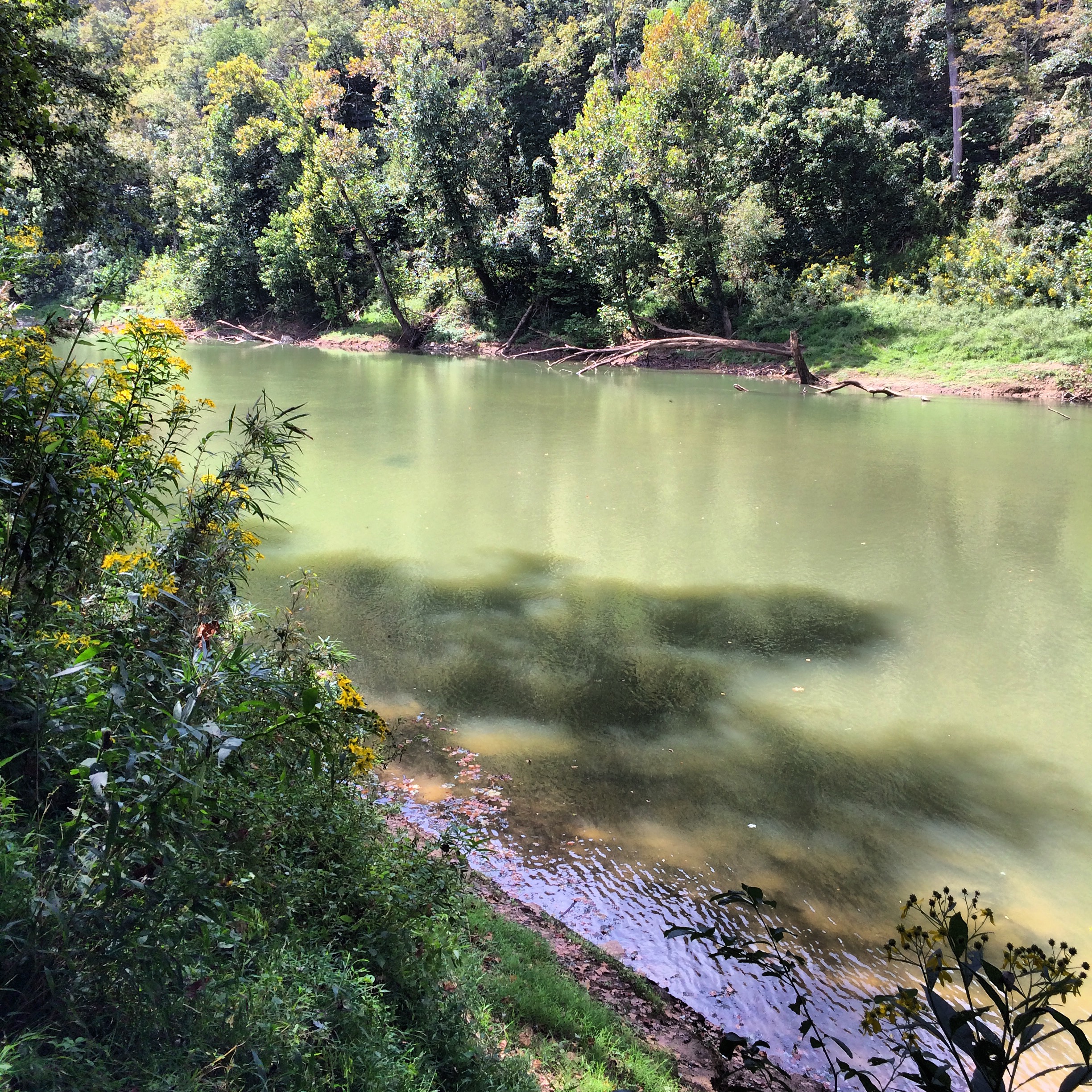
View of Nolin Lake

Nolin Lake in Kentucky
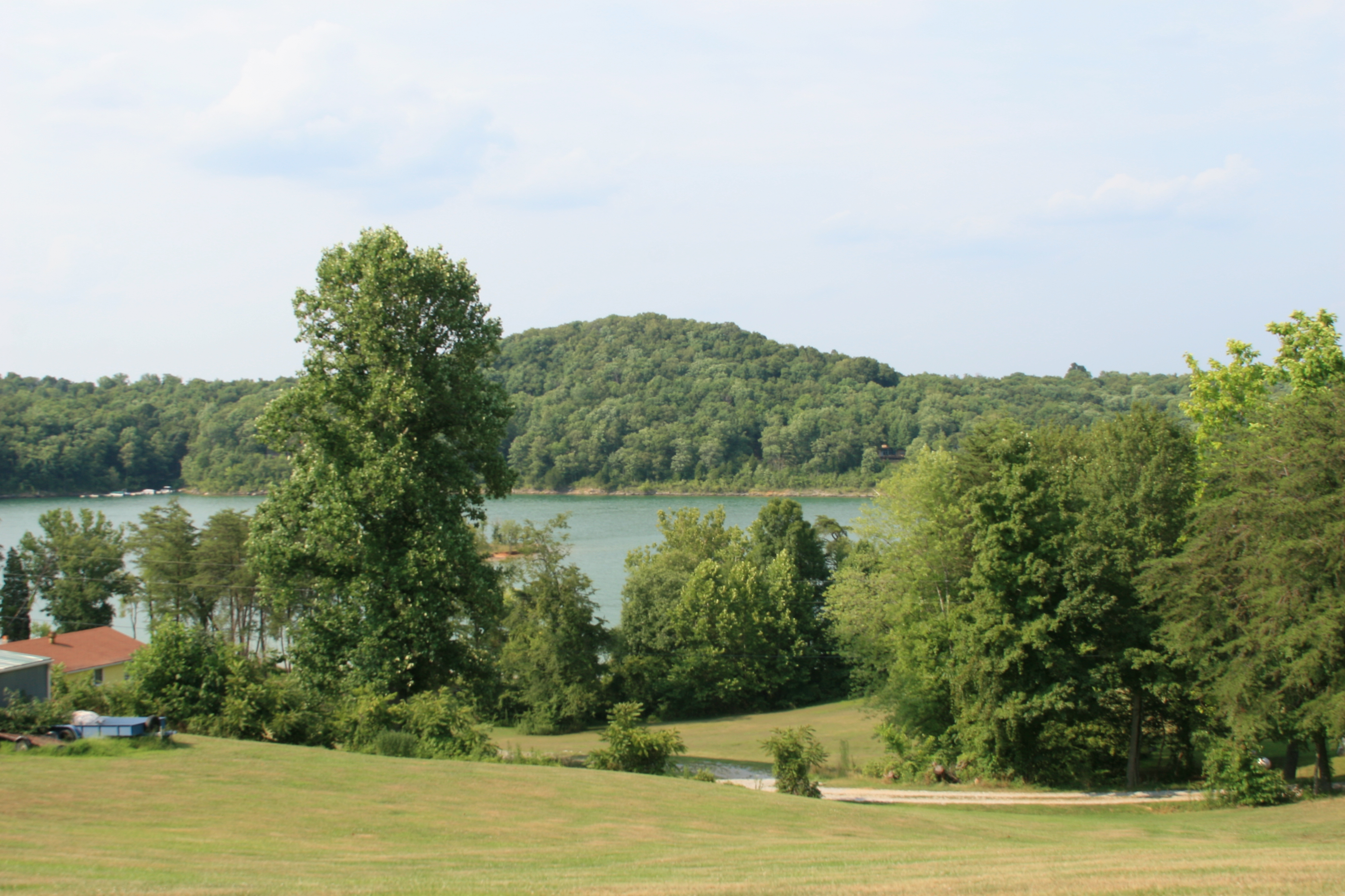
View of Nolin Lake
View from the other direction
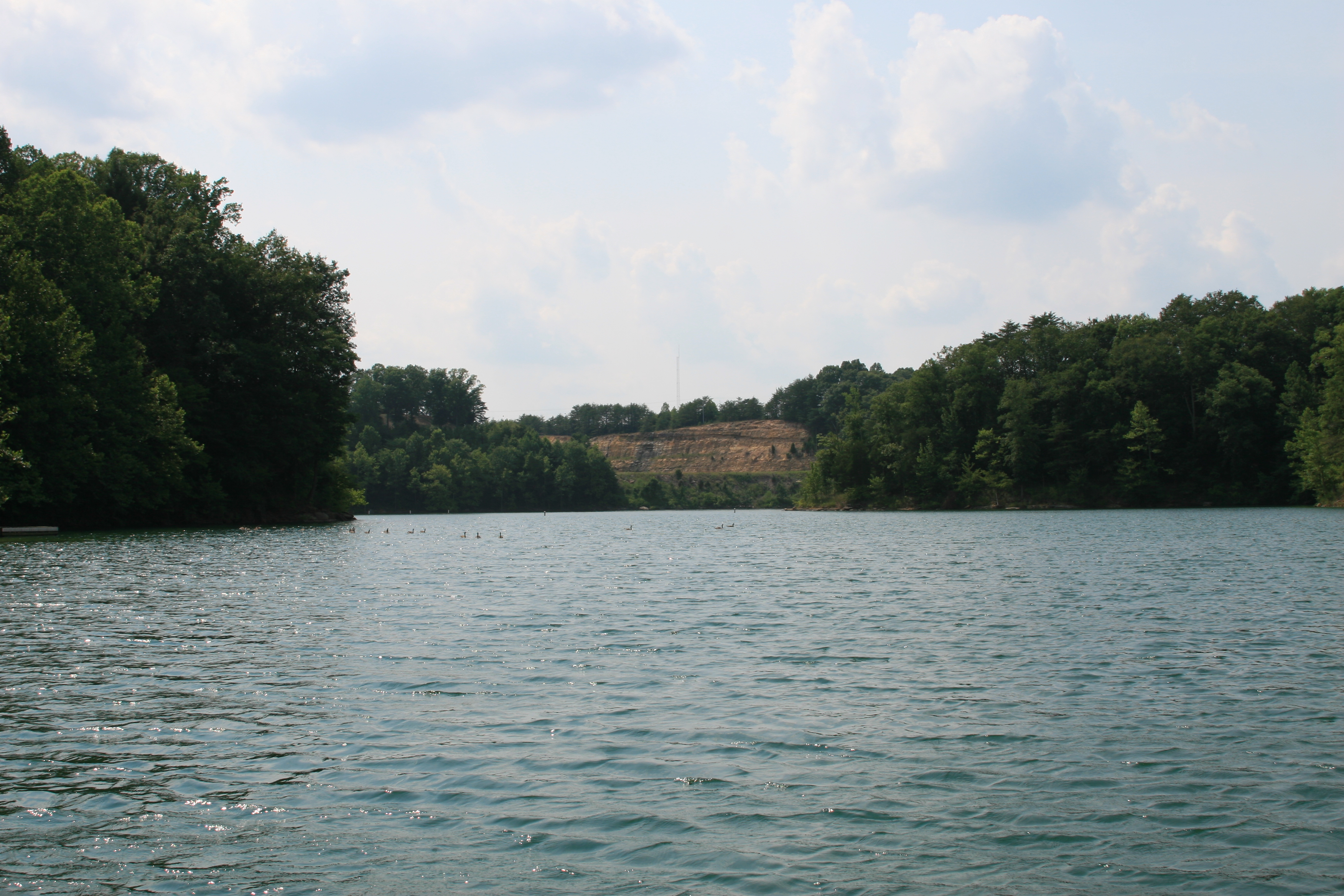
View out of the cove by the dam on Nolin Lake
View out of the cove at the dam on Nolin Lake
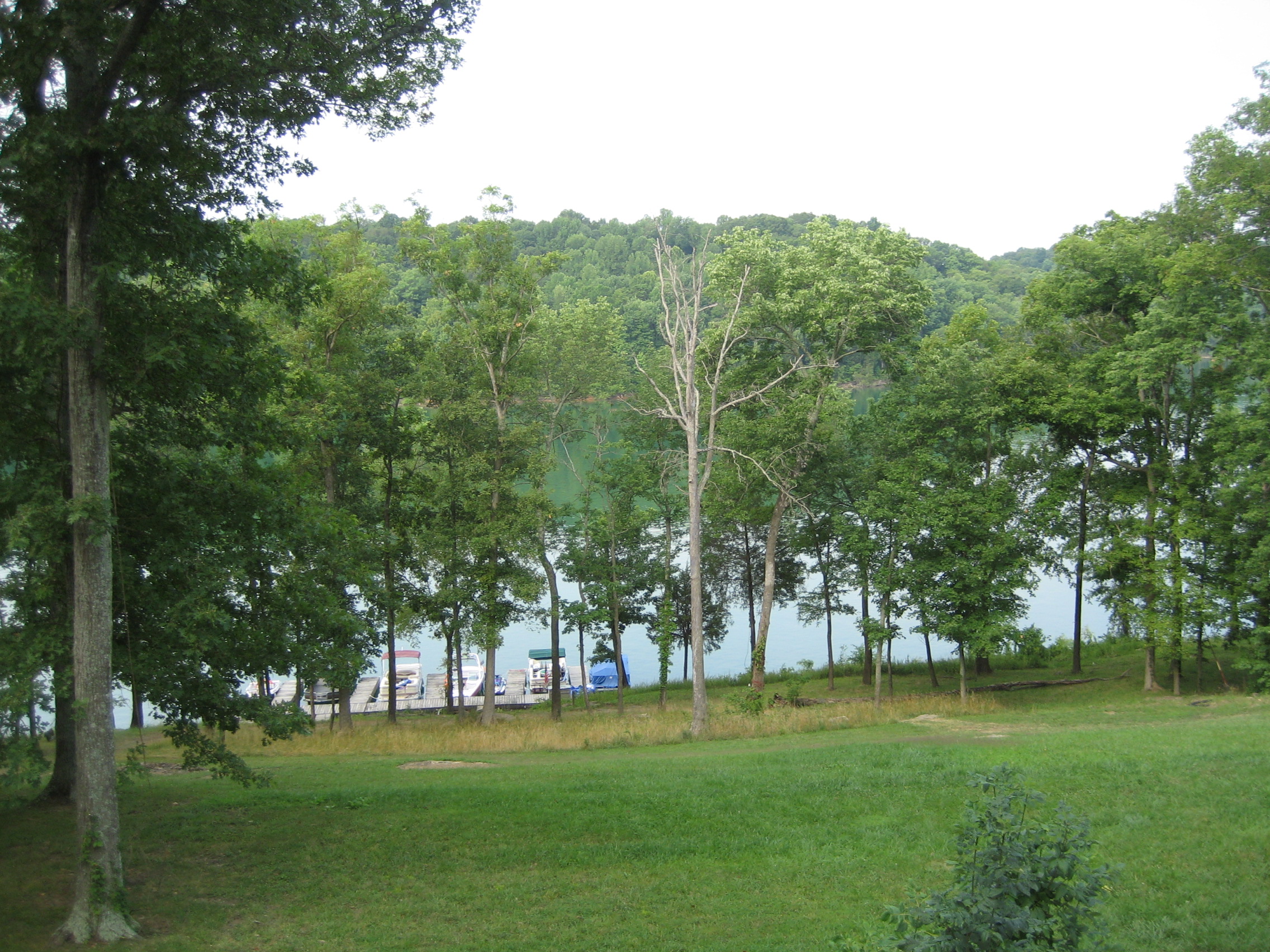
Dock at Rental House - Nolin Lake
View of Nolin Lake
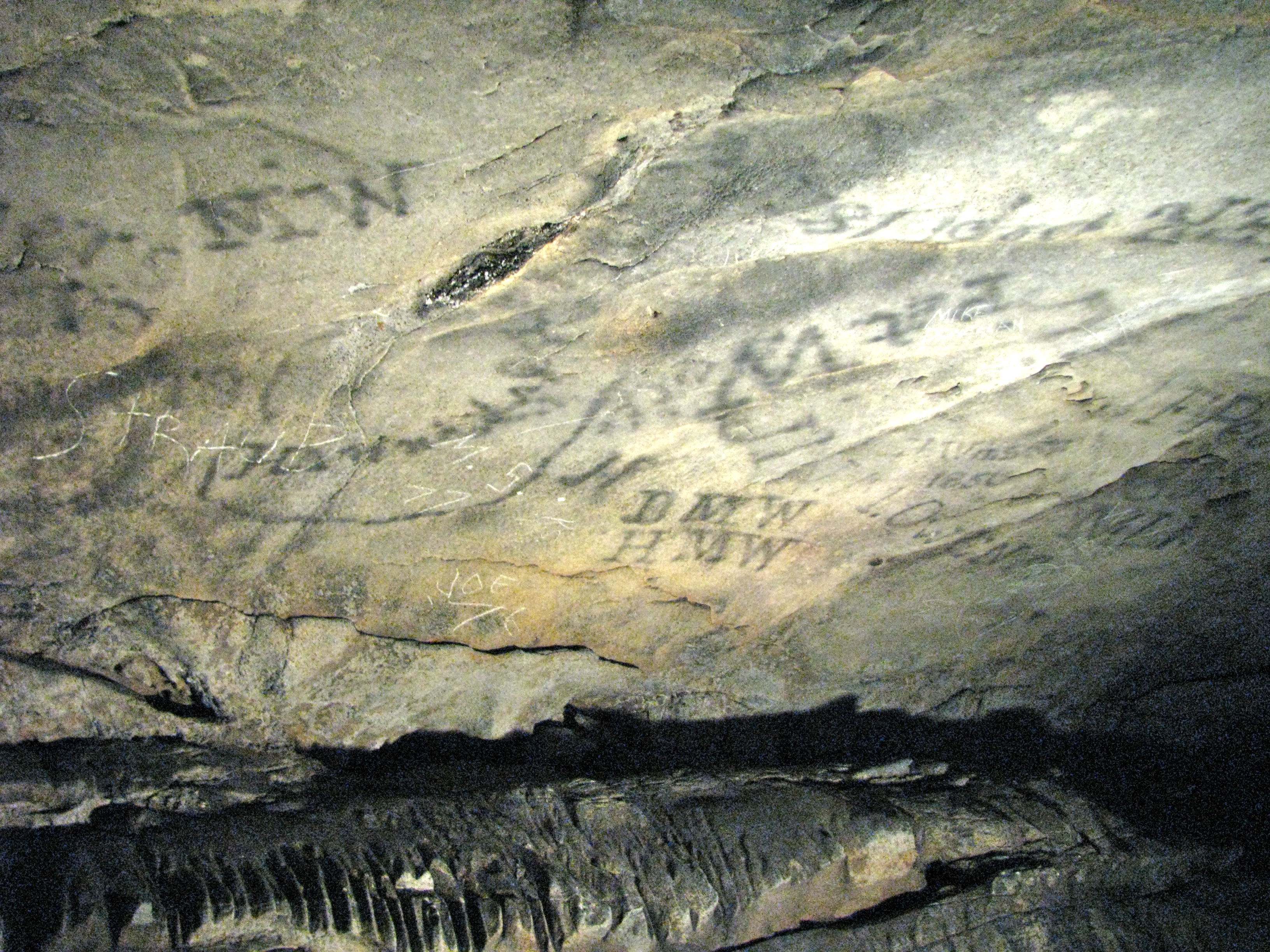
MW's from Years Past
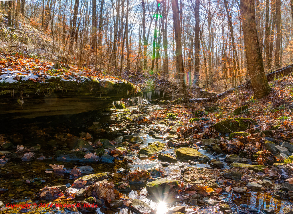
Winter Color at Mammoth Cave National Park
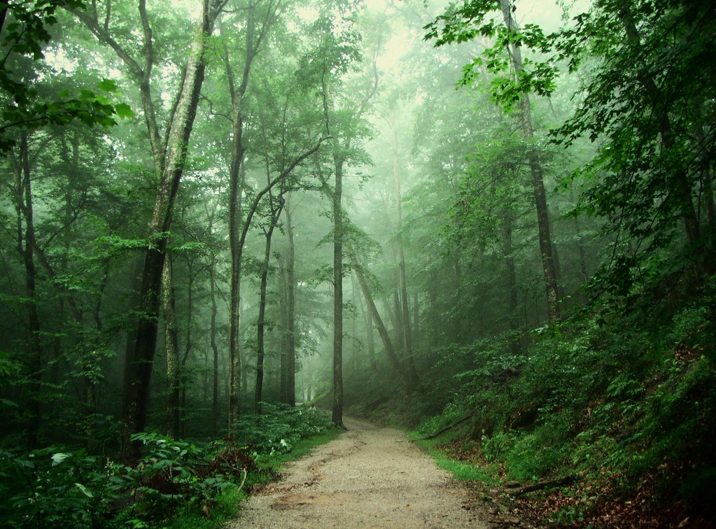
Whispering Forest

Flooded Trail.
Mammoth Cave National Park - January 4, 2014
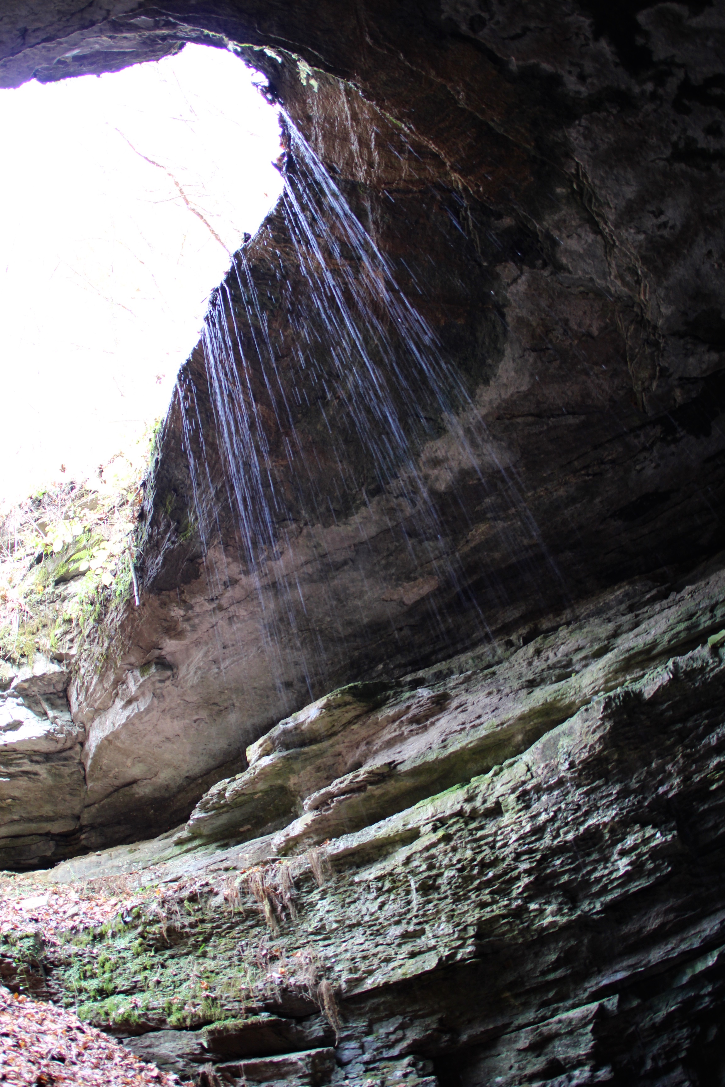
Leaking as it keep going
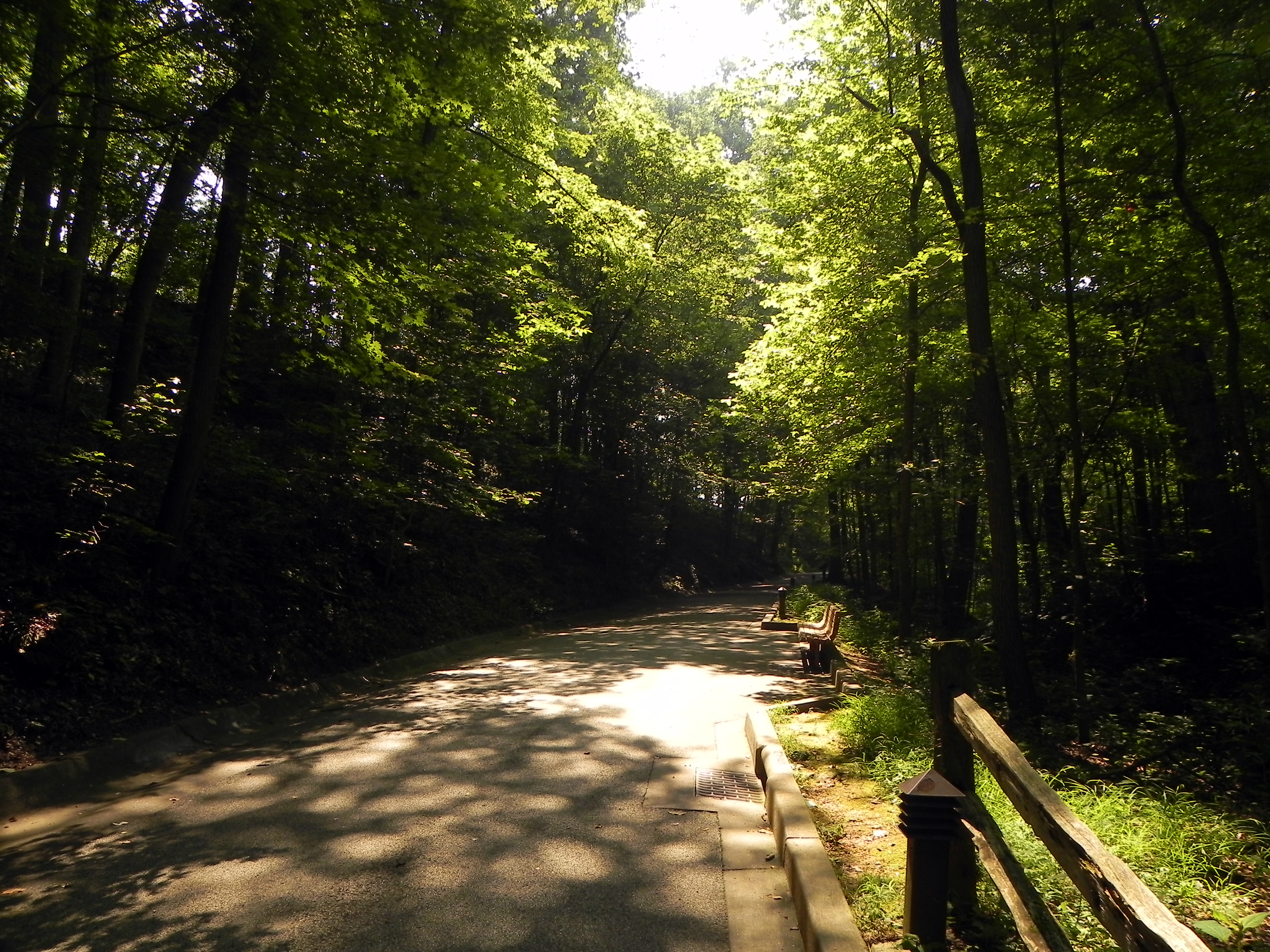
Dark Forest
Sidesaddle Pit
Mammoth Cave
Domes and Dripstones Tour
Mammoth Cave National Park [8280]
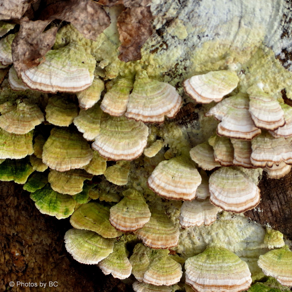
Turkey Tail Fungi.
Mammoth Cave
Mammoth Cave
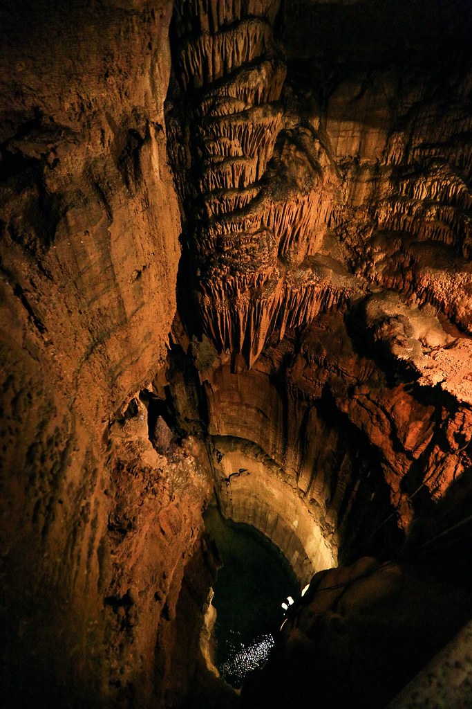
Mammoth cave National Park, Frozen Niagara tour, Kentucky
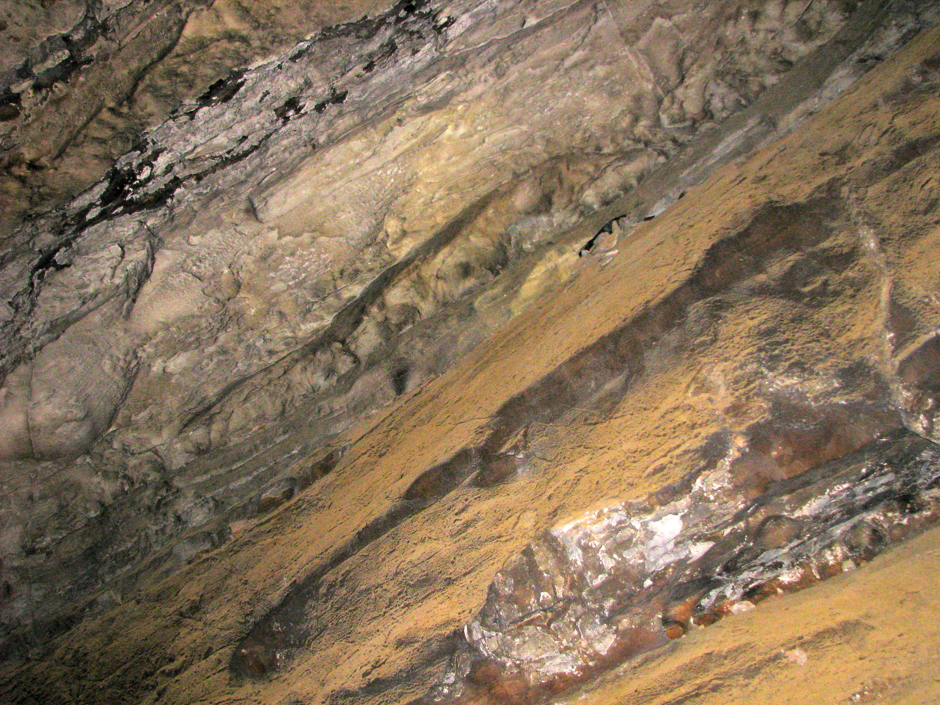
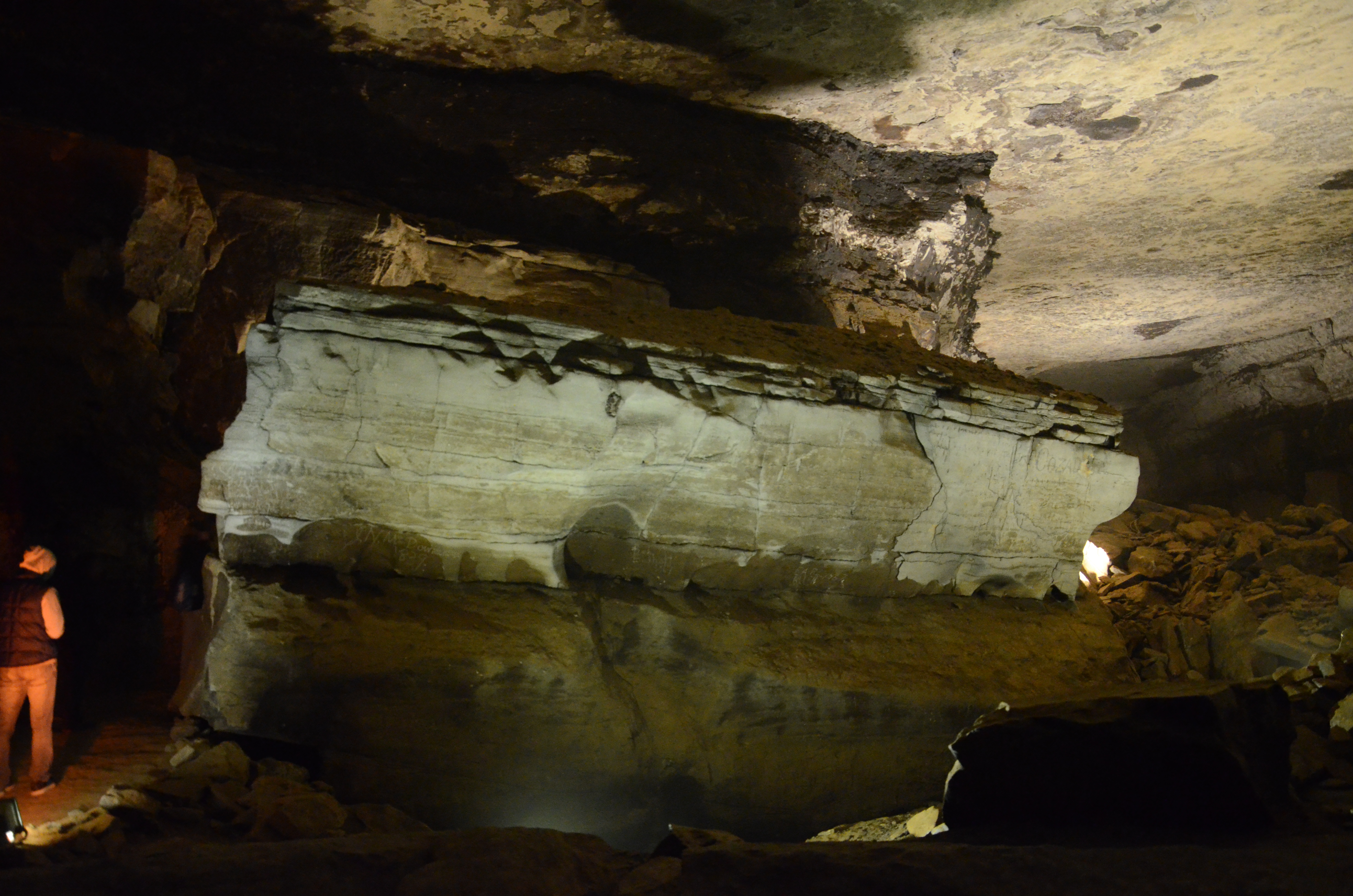
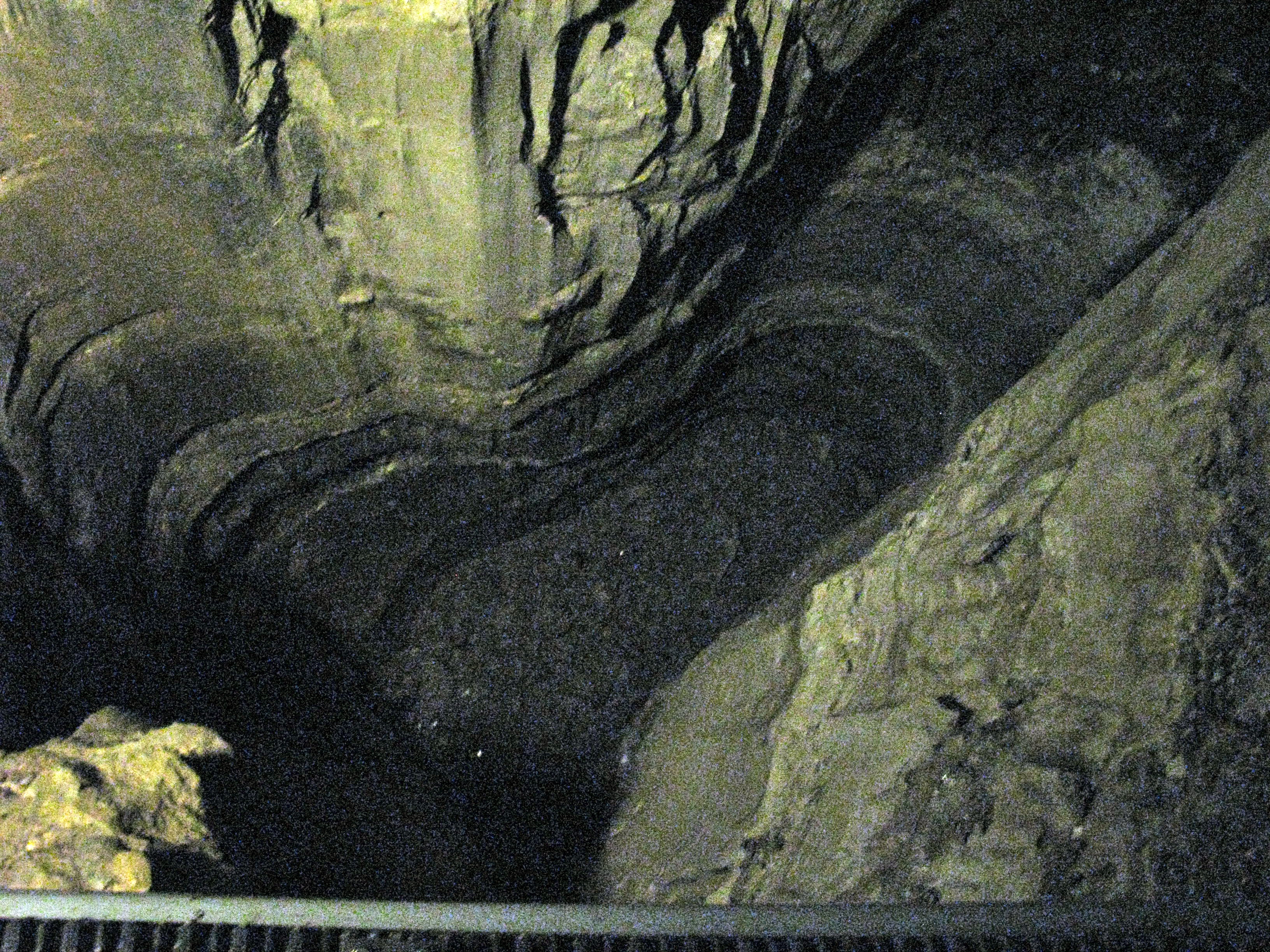
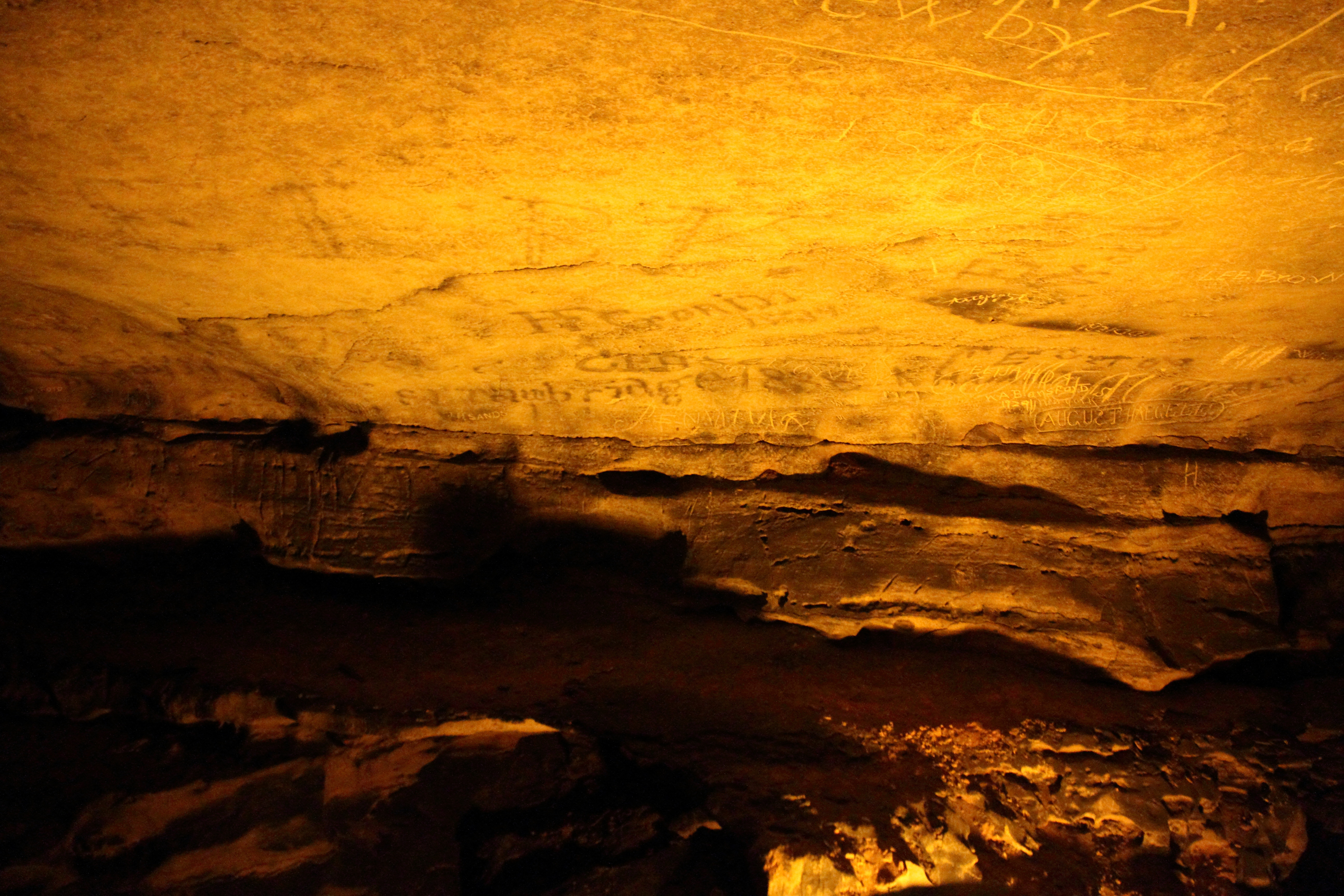
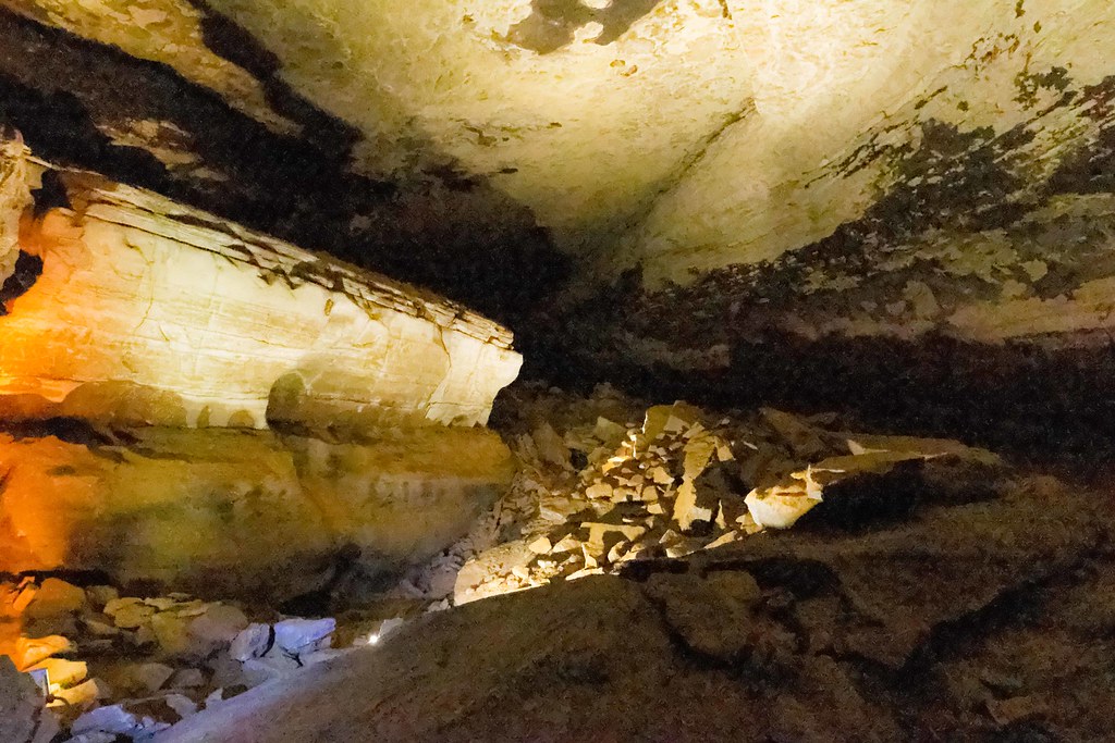
Layers of History
Mammoth Cave National Park
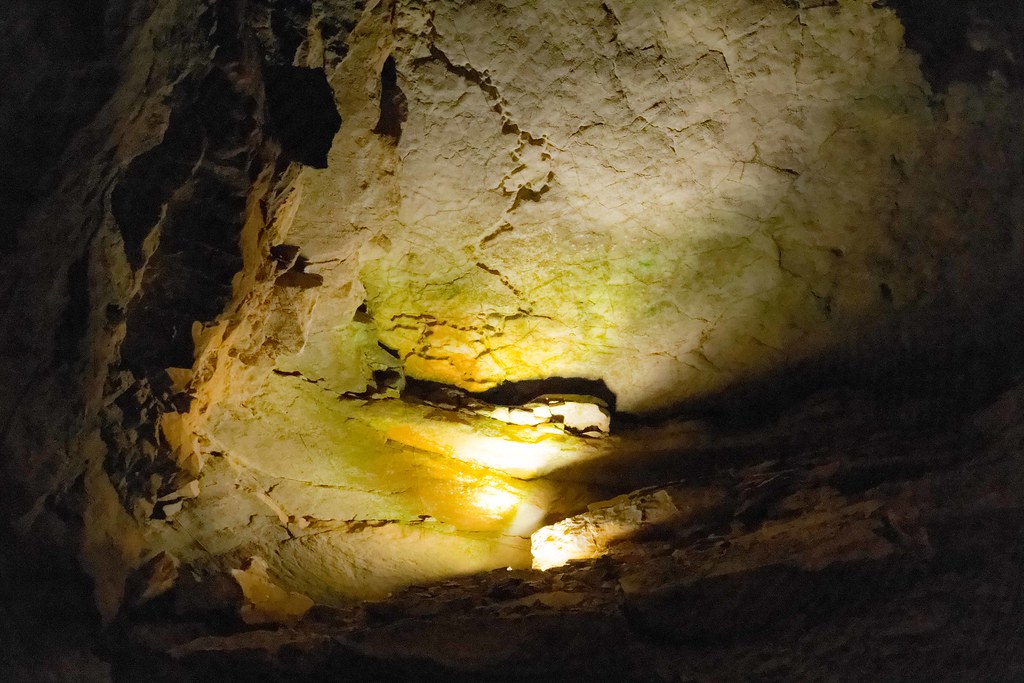
Mammoth Cave National Park
Mammoth Cave National Park
Mammoth Cave National Park
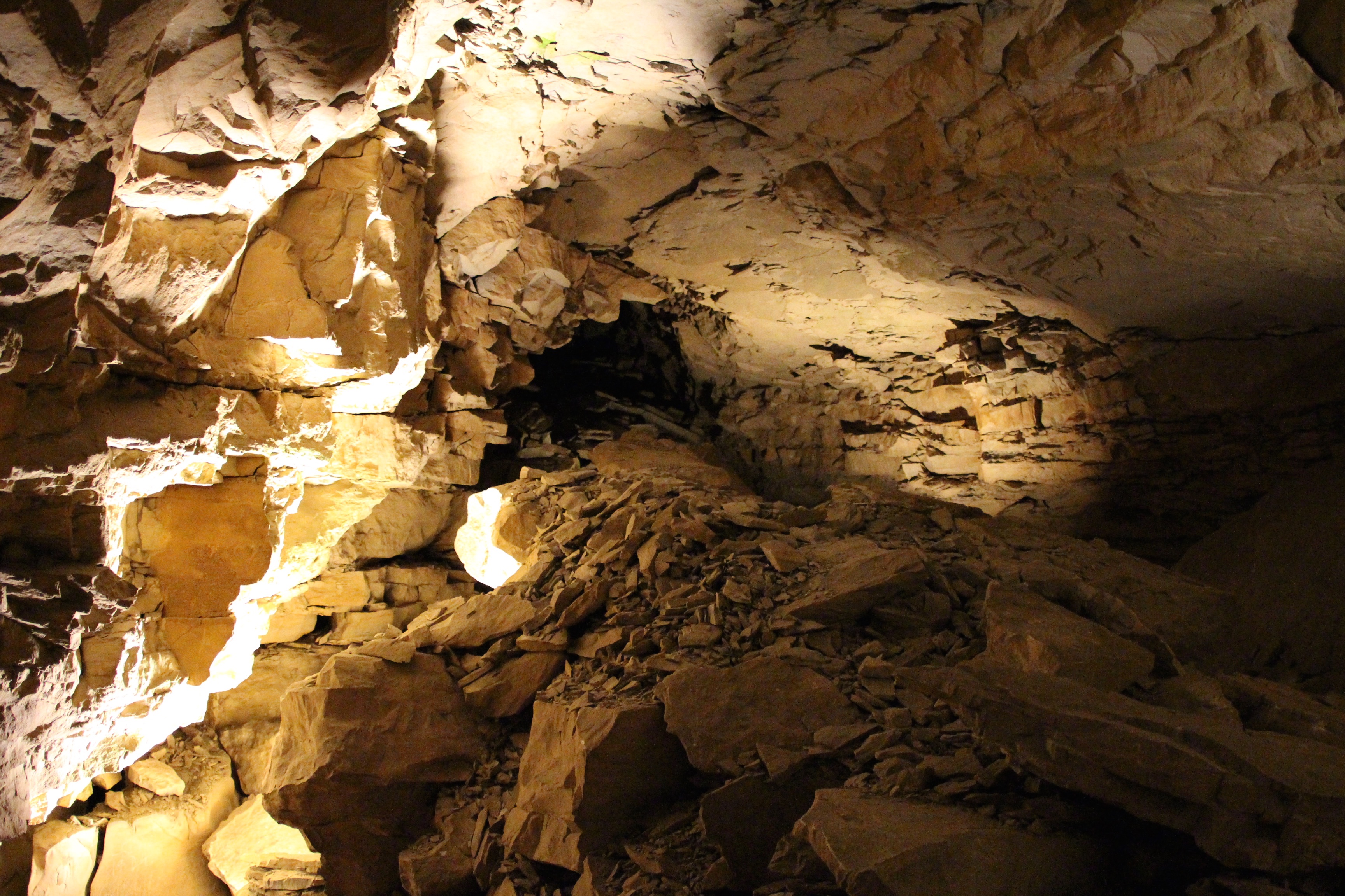
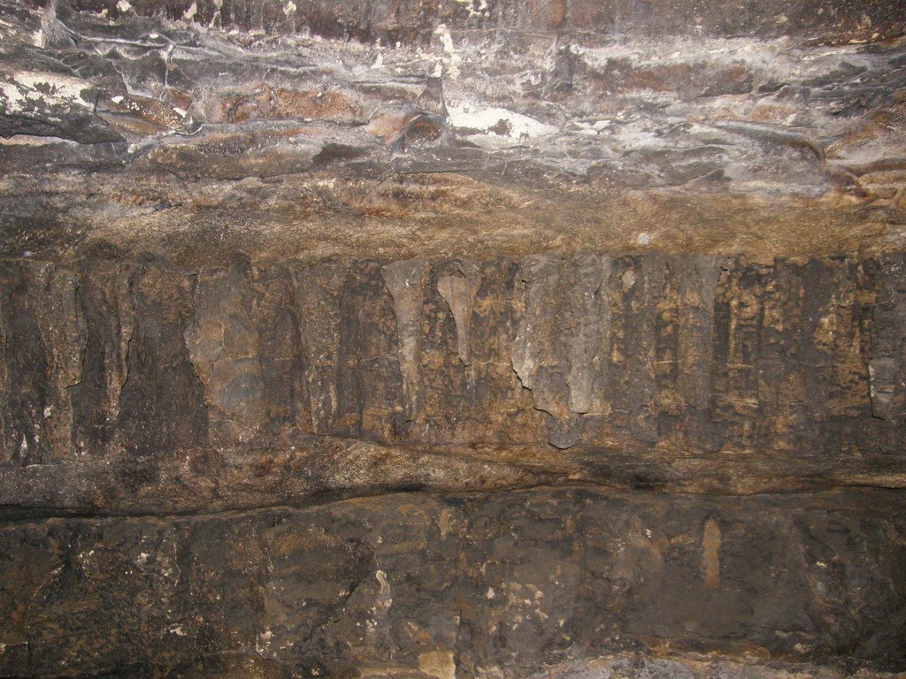
Fallen rock everywhere inside the cave
Topographic Map of Edmonson County, KY, USA
Find elevation by address:

Places in Edmonson County, KY, USA:
Places near Edmonson County, KY, USA:
Brownsville
Old Kyrock Rd, Sweeden, KY, USA
Lindseyville
Morgantown Rd, Brownsville, KY, USA
Beaver Dam Chapel Rd, Mammoth Cave, KY, USA
Mammoth Cave National Park
Mammoth Cave
Bee Spring
Smiths Grove
Dog Creek Road
395 Hays Rd N
61 Sunfish Rd, Brownsville, KY, USA
572 C Scott Rd
Cub Run Hwy, Cub Run, KY, USA
Penns Chapel Road
Cub Run
442 Sunfish School Rd
Cub Run Hwy, Cub Run, KY, USA
State Highway 2330
825 Whipperwill Trail
Recent Searches:
- Elevation of Corso Fratelli Cairoli, 35, Macerata MC, Italy
- Elevation of Tallevast Rd, Sarasota, FL, USA
- Elevation of 4th St E, Sonoma, CA, USA
- Elevation of Black Hollow Rd, Pennsdale, PA, USA
- Elevation of Oakland Ave, Williamsport, PA, USA
- Elevation of Pedrógão Grande, Portugal
- Elevation of Klee Dr, Martinsburg, WV, USA
- Elevation of Via Roma, Pieranica CR, Italy
- Elevation of Tavkvetili Mountain, Georgia
- Elevation of Hartfords Bluff Cir, Mt Pleasant, SC, USA