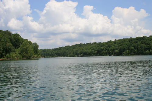
Elevation of 61 Sunfish Rd, Brownsville, KY, USA

Location: United States > Kentucky > Edmonson County > Brownsville >

Longitude: -86.368467

Latitude: 37.2503487

Elevation: 177m / 581feet

Barometric Pressure: 99KPa

Elevation Map:

elevation map of 61 Sunfish Rd, Brownsville, KY, USA

Satellite Map:

Satellite map of 61 Sunfish Rd, Brownsville, KY, USA

Related Photos:

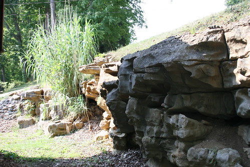
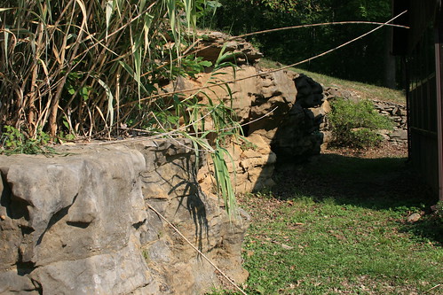
rock nolinlakekentucky
View of the Rocks behing the rental house at Nolin lake
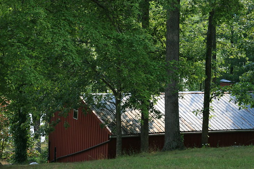
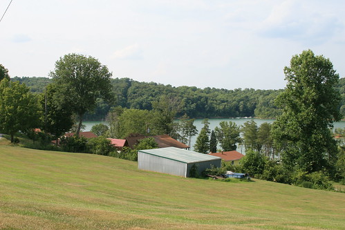
trees nolinlakekentucky
View of the garage
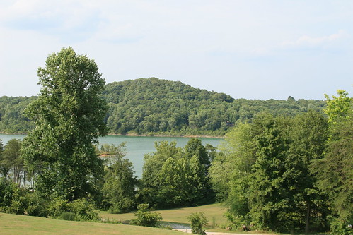
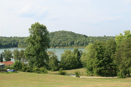
trees lake water nolinlakekentucky
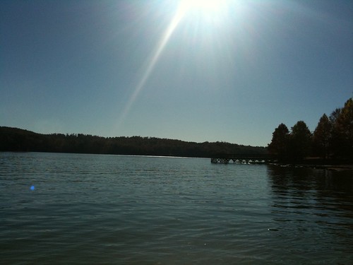
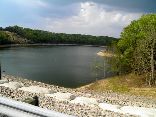
View of Nolin Lake
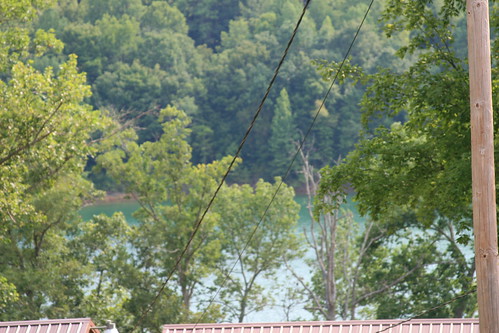
trees lake water nolinlakekentucky
Nolin Lake in Kentucky
trees lake water nolinlakekentucky
View of Nolin Lake
rock nolinlakekentucky
View from the other direction
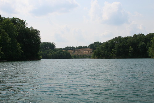
water rock nolinlakekentucky
View out of the cove by the dam on Nolin Lake
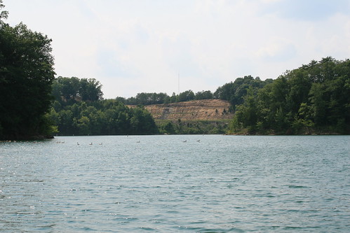
water rock nolinlakekentucky
View out of the cove at the dam on Nolin Lake
trees water boat nolinlakekentucky
Dock at Rental House - Nolin Lake
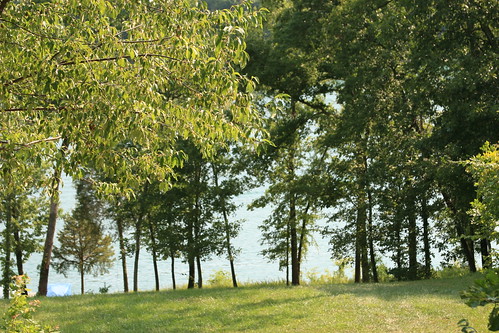
trees lake water nolinlakekentucky
View of Nolin Lake
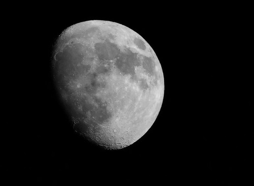
moon nikon
Moon of 19th June 2013
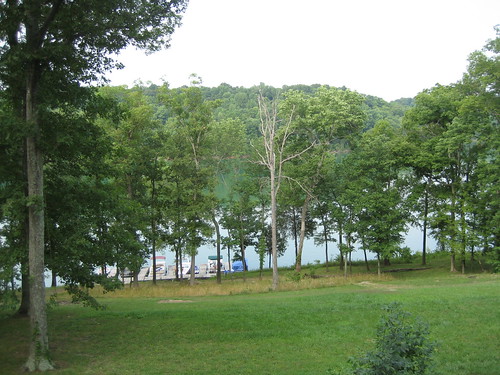
trees water nolinlakekentucky
View from rental house
road old house home church rural farm kentucky ky country shack tobacco rundown hme annetta mcgrew graysoncounty anetta leitchfield mcgrewchurchroad
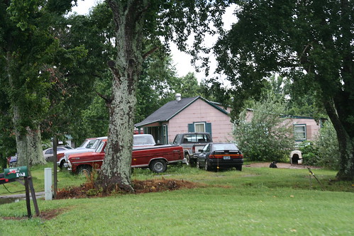
Side view of the house
Kentucky Backroads
usa geotagged arthur unitedstates hiking kentucky ollie hdr mammothcavenationalpark brownsville mcnp canon7d sigma18250mmf3563dcmacrooshsm geo:lat=3721497209 geo:lon=8621235700
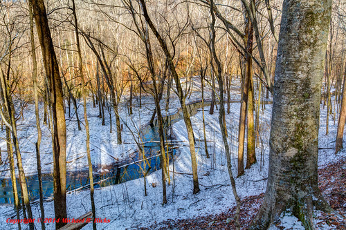
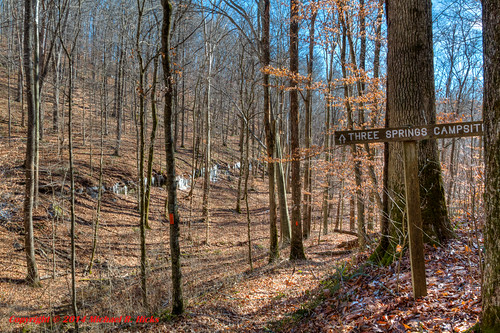
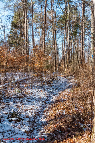
Winter Color at Mammoth Cave National Park
usa geotagged arthur unitedstates hiking kentucky ollie mammothcavenationalpark brownsville mcnp canon7d sigma18250mmf3563dcmacrooshsm geo:lat=3720927578 geo:lon=8620118910
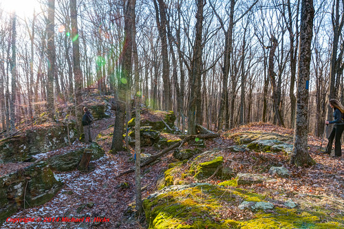
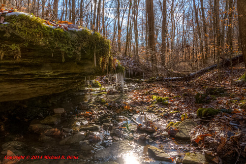
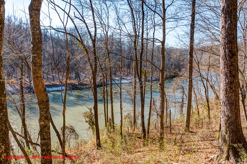
Mammoth Cave National Park - January 4, 2014
usa geotagged unitedstates hiking kentucky ollie woodside mammothcavenationalpark brownsville mcnp canon7d sigma18250mmf3563dcmacrooshsm geo:lat=3722626500 geo:lon=8622543560
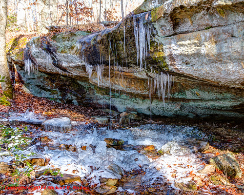
Mammoth Cave National Park - January 4, 2014
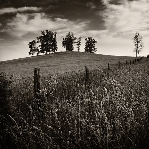
Sunfish, Kentucky, No. 1
A Perfect Day at Nolin Lake
usa geotagged unitedstates hiking kentucky ollie woodside mammothcavenationalpark brownsville mcnp canon7d sigma18250mmf3563dcmacrooshsm geo:lat=3723645122 geo:lon=8623671511
Mammoth Cave National Park - January 4, 2014
usa geotagged arthur unitedstates hiking kentucky ollie mammothcavenationalpark brownsville mcnp canon7d sigma18250mmf3563dcmacrooshsm geo:lat=3721050622 geo:lon=8620594711
Mammoth Cave National Park - January 4, 2014
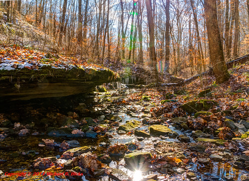
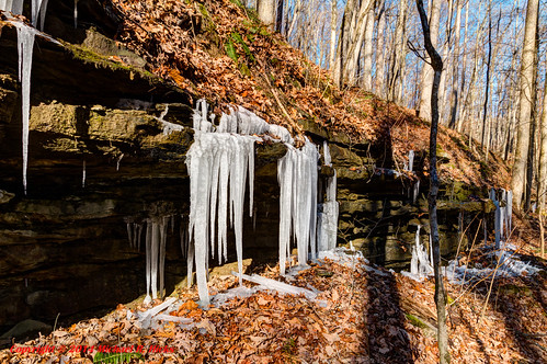
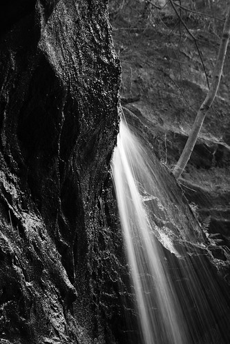
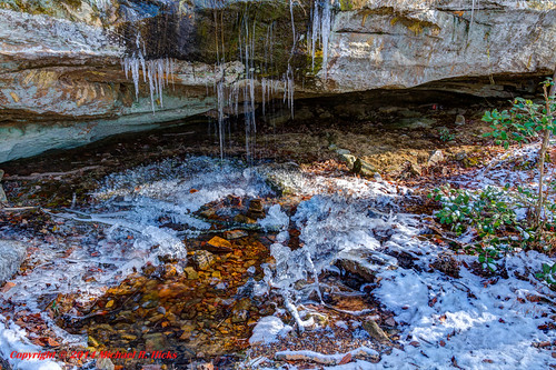
Mammoth Cave Waterfall
usa geotagged arthur unitedstates hiking kentucky ollie mammothcavenationalpark brownsville mcnp canon7d sigma18250mmf3563dcmacrooshsm geo:lat=3721493882 geo:lon=8621231445
Mammoth Cave National Park - January 4, 2014
photostream
Lara and Jewels on Nolin Lake
usa geotagged arthur unitedstates hiking kentucky ollie mammothcavenationalpark brownsville mcnp canon7d sigma18250mmf3563dcmacrooshsm geo:lat=3721534867 geo:lon=8621978600
Mammoth Cave National Park - January 4, 2014
usa geotagged unitedstates hiking kentucky ollie woodside mammothcavenationalpark brownsville mcnp canon7d sigma18250mmf3563dcmacrooshsm geo:lat=3723473343 geo:lon=8622548343
Mammoth Cave National Park - January 4, 2014
usa geotagged unitedstates hiking kentucky ollie mammothcavenationalpark brownsville mcnp canon7d sigma18250mmf3563dcmacrooshsm geo:lat=3721435150 geo:lon=8622522775
Mammoth Cave National Park - January 4, 2014
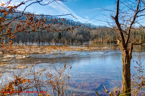
Nolin Lake
usa geotagged unitedstates hiking kentucky ollie woodside mammothcavenationalpark brownsville mcnp canon7d sigma18250mmf3563dcmacrooshsm geo:lat=3723484900 geo:lon=8622551500
Mammoth Cave National Park - January 4, 2014
usa geotagged unitedstates hiking kentucky ollie mammothcavenationalpark brownsville mcnp canon7d sigma18250mmf3563dcmacrooshsm geo:lat=3723782400 geo:lon=8621861700
Mammoth Cave National Park - January 4, 2014
Nolin Lake
lake nolinlakekentucky
Nolin Lake in Kentucky