Elevation of Edgemont, SD, USA
Location: United States > South Dakota > Fall River County >
Longitude: -103.82547
Latitude: 43.3010841
Elevation: 1054m / 3458feet
Barometric Pressure: 89KPa
Elevation Map:
Satellite Map:
Related Photos:
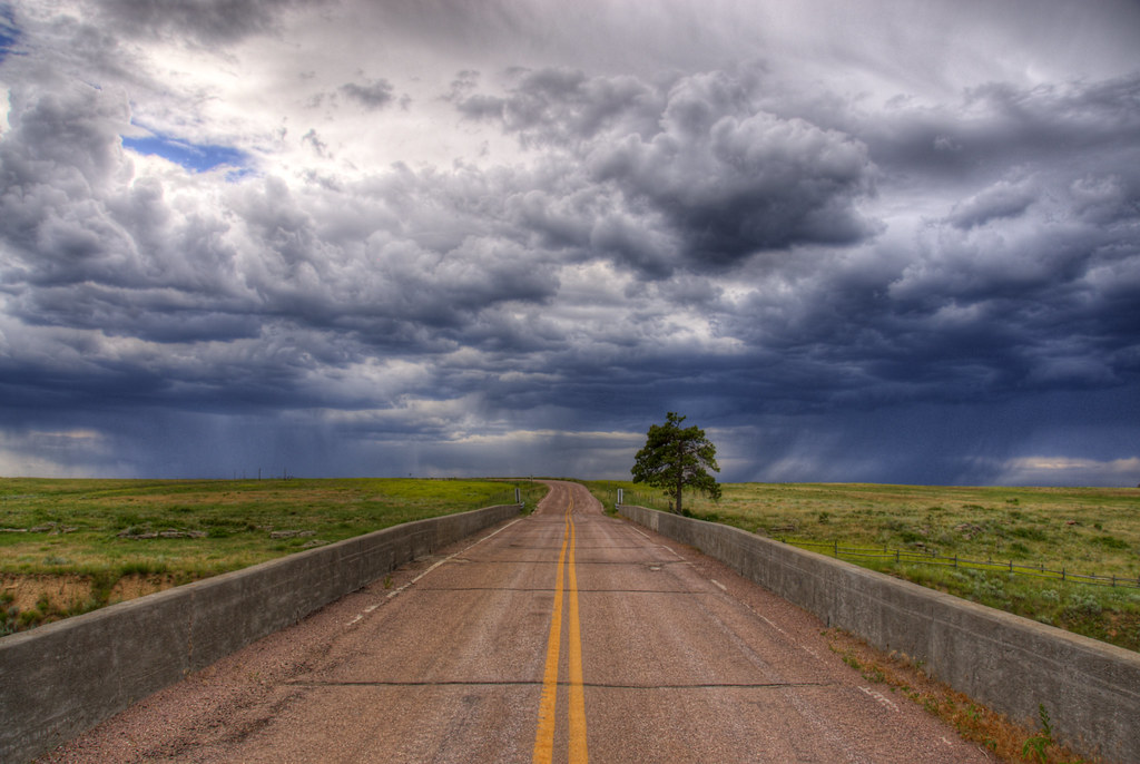
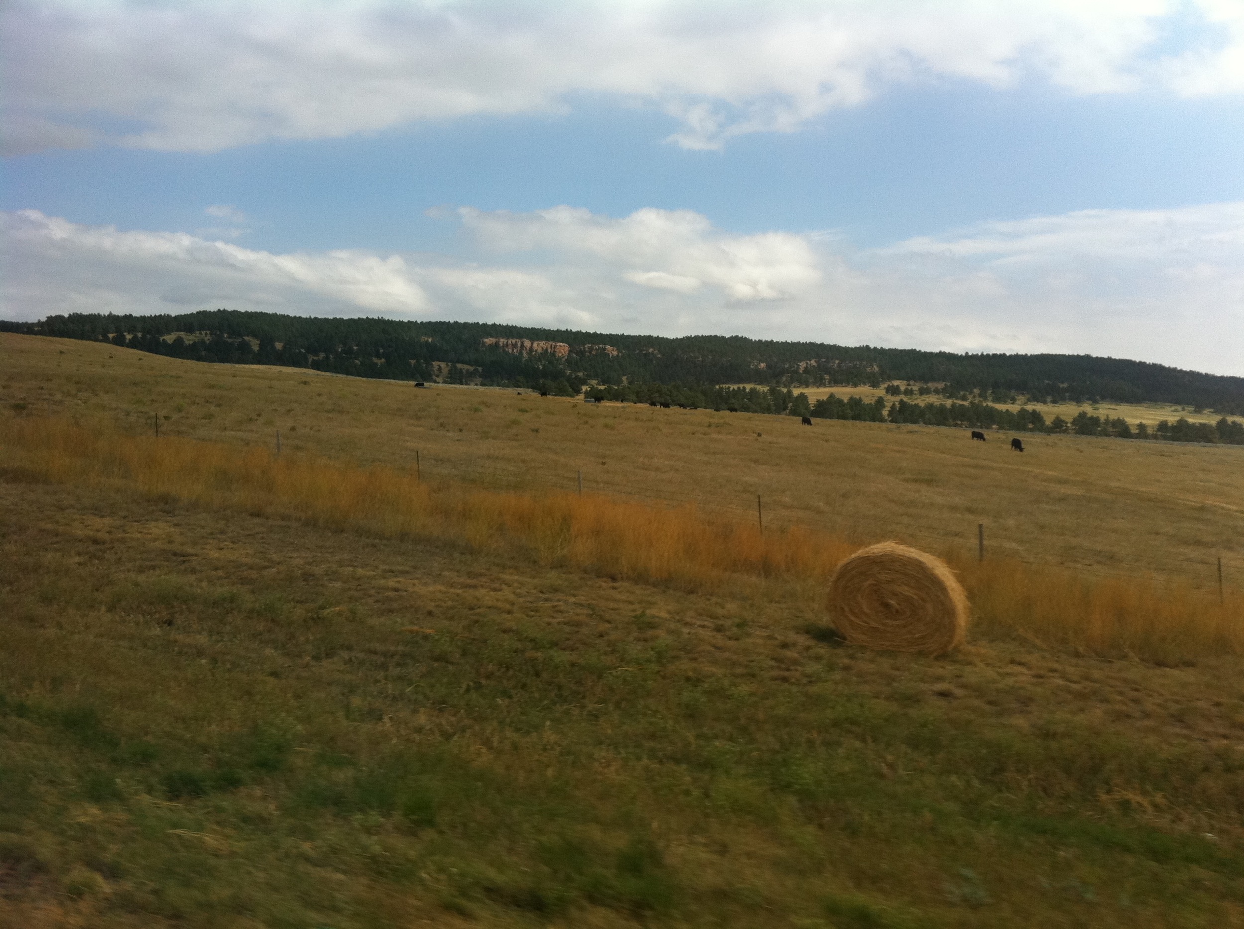
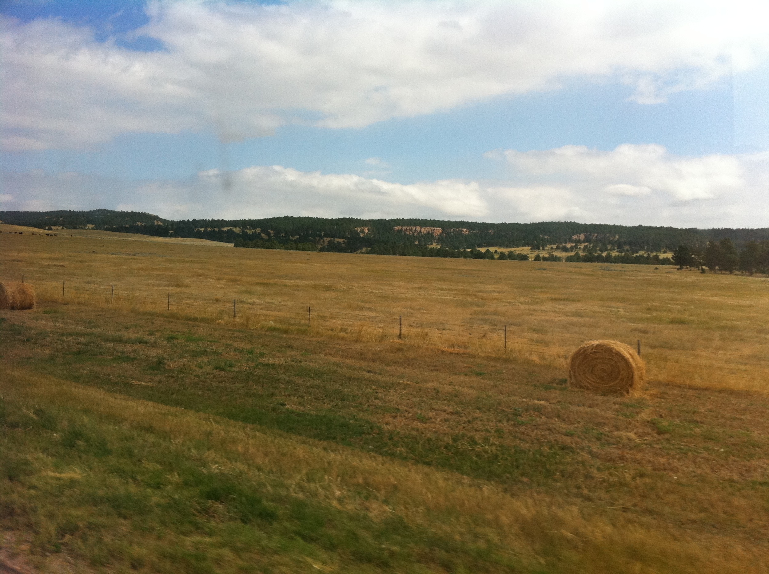
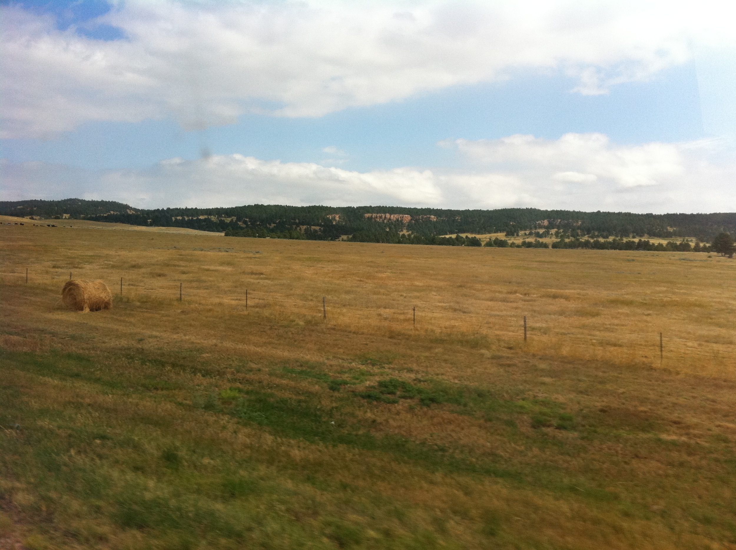
Storm Ahead

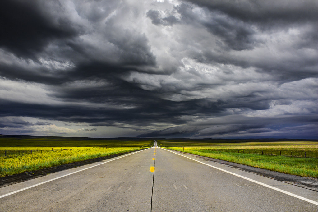
Storm Light
Lonely Highway
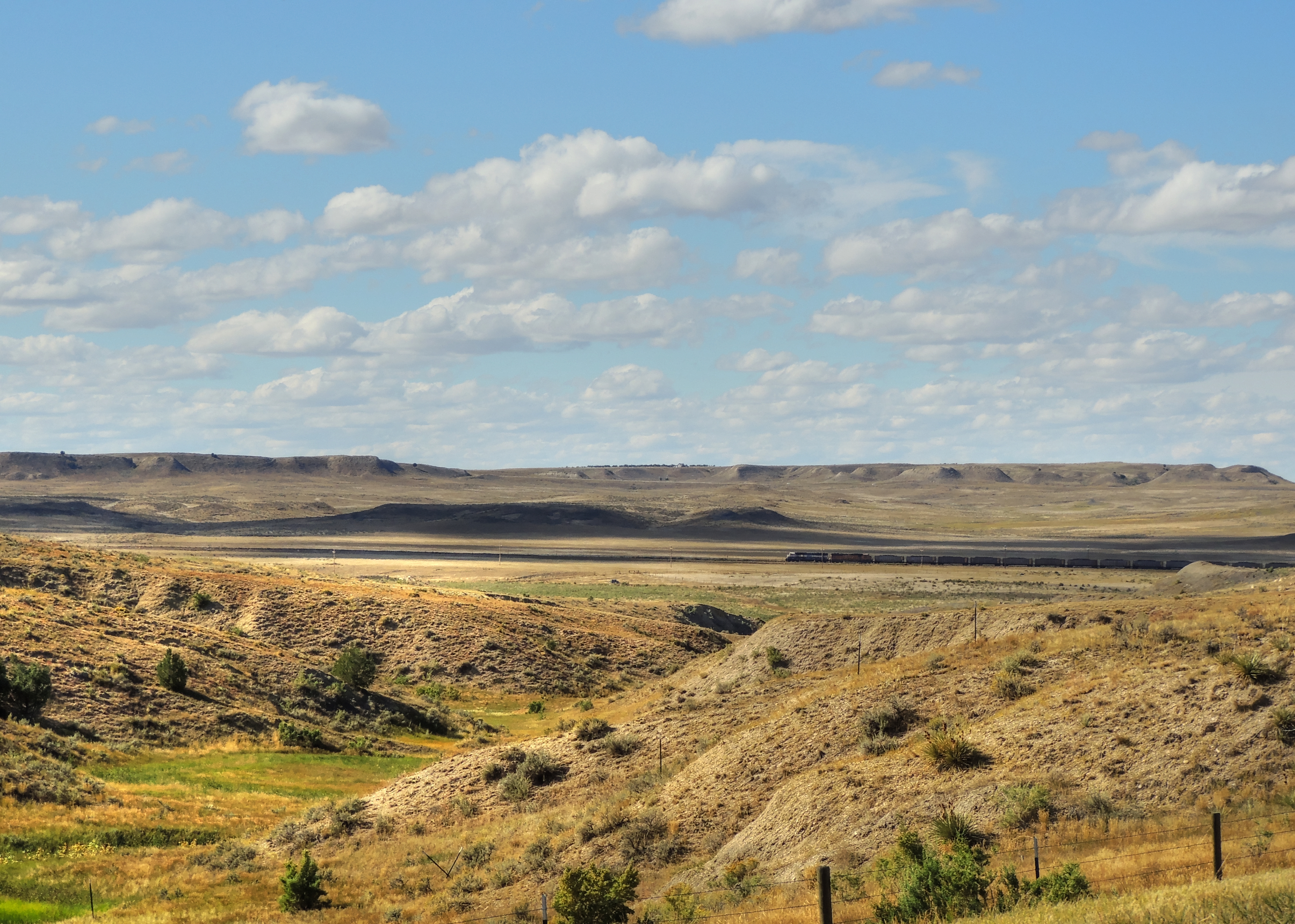
Coal Train
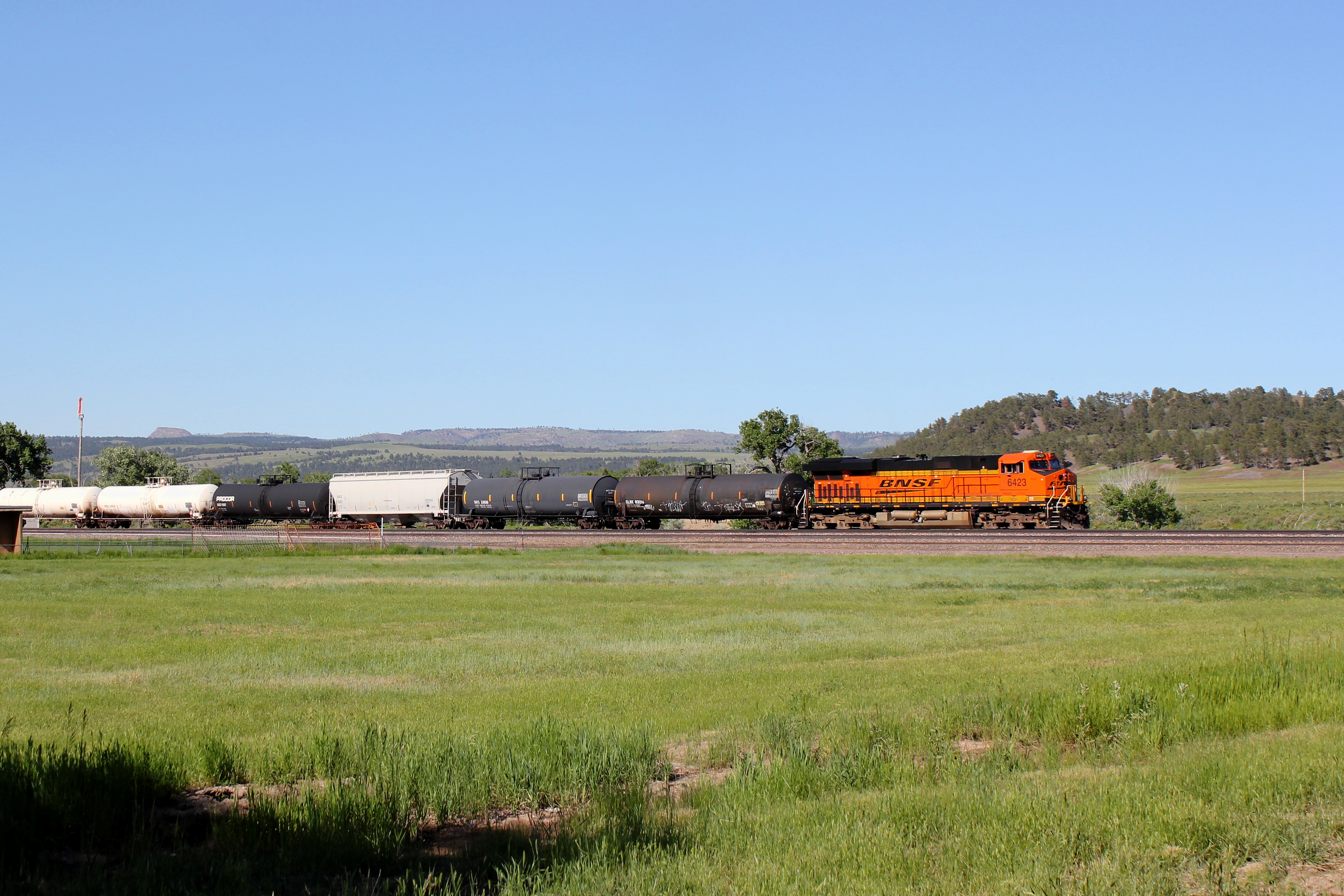
BNSF 6423

Black Hills, South Dakota
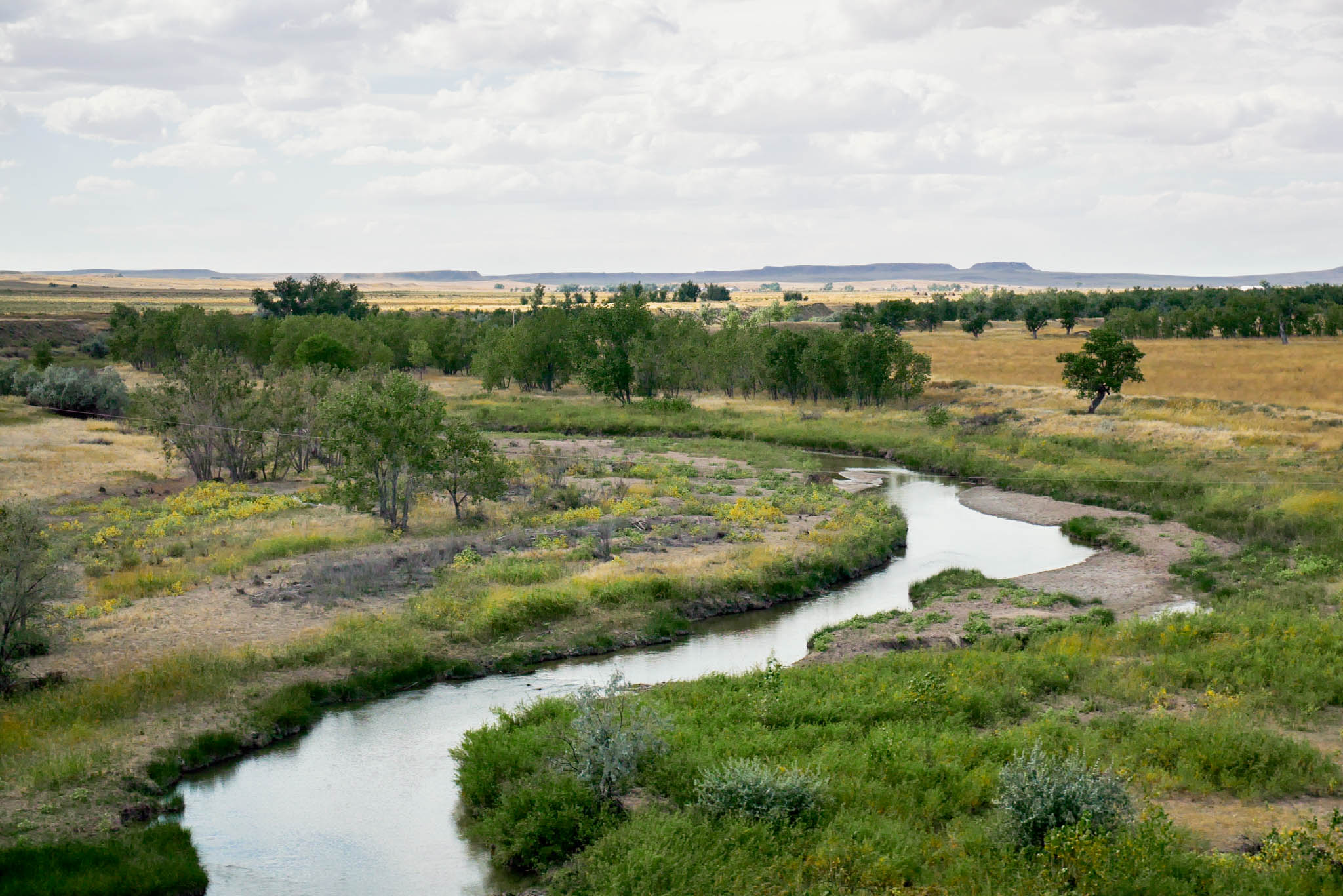
Black Hills - USA

What's ahead
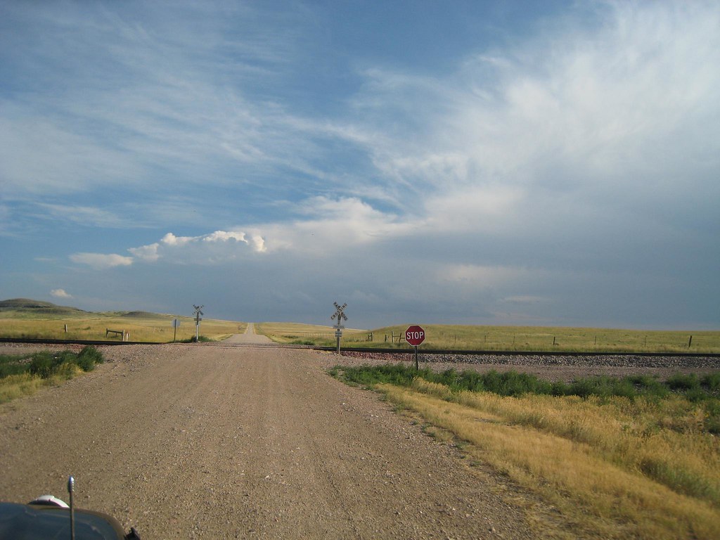
Leaving the Pavement
Camera Roll-232
Camera Roll-234
Camera Roll-233
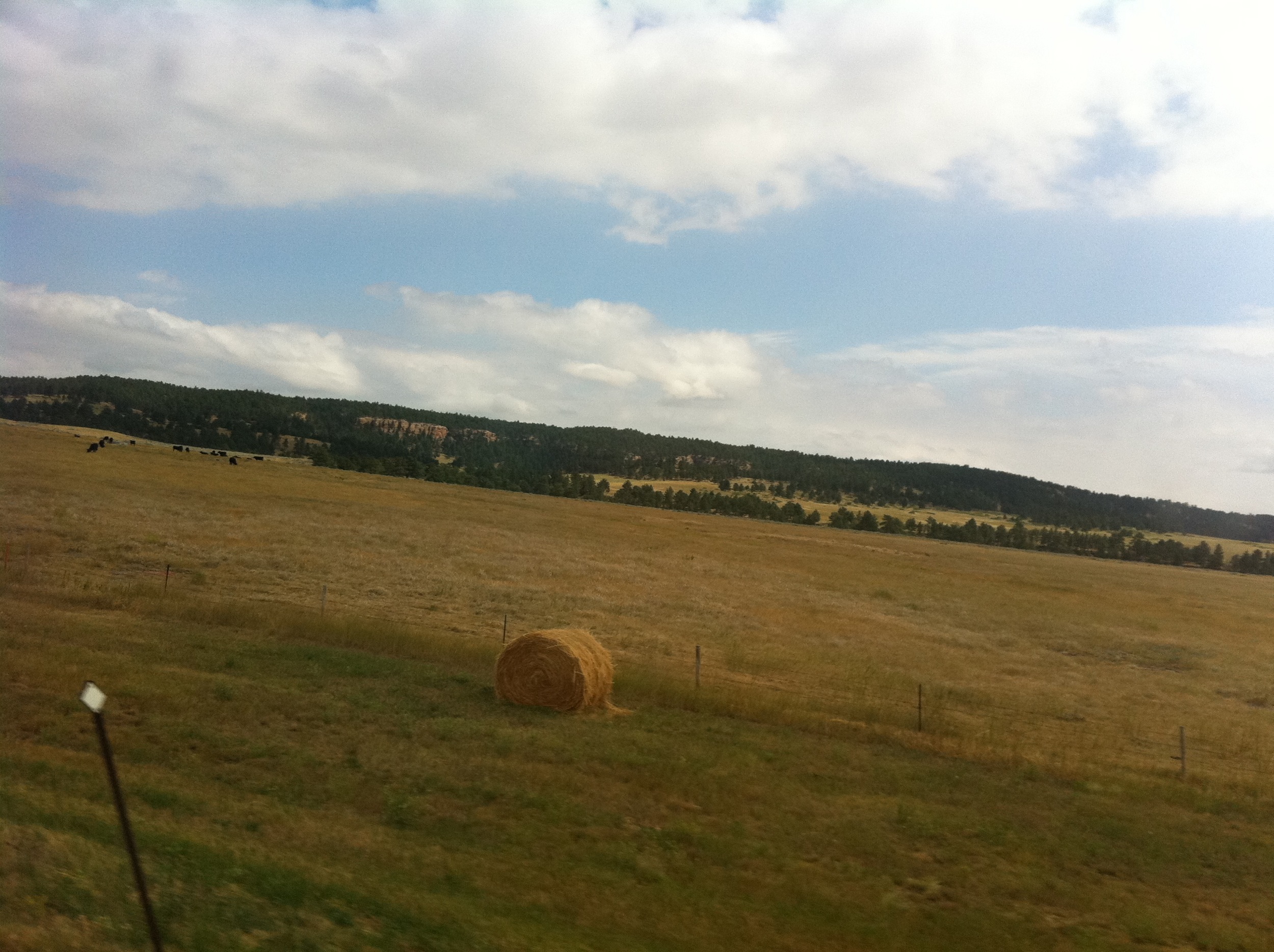
Camera Roll-230
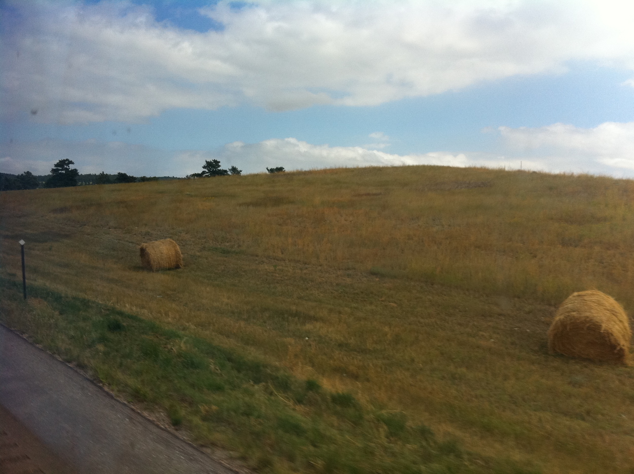
Camera Roll-231
Topographic Map of Edgemont, SD, USA
Find elevation by address:

Places in Edgemont, SD, USA:
Places near Edgemont, SD, USA:
Mogul Way, Edgemont, SD, USA
88 River Ave, Edgemont, SD, USA
Minnekahta
Farmer Road
11909 W Argyle Rd
Argyle Fire Department
Whitetail Rd, Hot Springs, SD, USA
26527 Sd-89
12166 Hart Rd
Hot Springs
Fall River County
27146 Wind Cave Rd
27618 Garden Dr
27094 Ridgeview Springs Rd
Maverick Junction
27585 Sd-79
Bowen
Toadstool Geological Park And Campground
Northeast Fall River
Gilbert-baker Wildlife Area
Recent Searches:
- Elevation of Corso Fratelli Cairoli, 35, Macerata MC, Italy
- Elevation of Tallevast Rd, Sarasota, FL, USA
- Elevation of 4th St E, Sonoma, CA, USA
- Elevation of Black Hollow Rd, Pennsdale, PA, USA
- Elevation of Oakland Ave, Williamsport, PA, USA
- Elevation of Pedrógão Grande, Portugal
- Elevation of Klee Dr, Martinsburg, WV, USA
- Elevation of Via Roma, Pieranica CR, Italy
- Elevation of Tavkvetili Mountain, Georgia
- Elevation of Hartfords Bluff Cir, Mt Pleasant, SC, USA