Elevation of Argyle Fire Department, SD-89, Custer, SD, USA

Location: United States > South Dakota > Custer >

Longitude: -103.65300

Latitude: 43.5442903

Elevation: 1465m / 4806feet

Barometric Pressure: 85KPa

Elevation Map:

elevation map of Argyle Fire Department, SD-89, Custer, SD, USA

Satellite Map:

Satellite map of Argyle Fire Department, SD-89, Custer, SD, USA

Related Photos:

nikond800e lookingne azimuth40 lookouttrail lookoutpointtrail northamericaplains greatplains blackhills southernblackhills windcavenationalpark camranger capturenx2edited colorefexpro cloudy overcast nature outside landscape trees hillsideoftrees rollinghillsides meadows grassyarea grassyfield grassymeadow evergreentrees evergreens mountains mountainsindistance mountainsoffindistance overcastwithclouds prairiegrass coldspringcreek creek washunniya pah‡s‡pa poemsused poetryandprose freeversepoetry ponderosapines project365 portfolio southdakota unitedstates pahásápa
It Looked Like Any Other Day (Wind Cave National Park)
coldspringiihistorical custer geo:lat=4357279795 geo:lon=10348531367 geotagged southdakota unitedstates usa 18200 18200mm animals bison buffalo custercounty custercountysd custercountysouthdakota custerstatepark grasslands hill hillside nature sepia sonya6500 sonyalpha6500 sonye18200mmf3563oss sonyα6500 southdakotatravel southdakotavacation travel travelphotography vacation vacationphotos wildlife
Custer State Park, South Dakota
bridge beavercreek windcavenationalpark nationalregisterofhistoricplaces
Beaver Creek Bridge, Wind Cave National Park, SD
geo:lat=4362276211 geo:lon=10348594189 geotagged coldspringiihistorical unitedstates usa blackhills blackhillsofsd blackhillsofsouthdakota cellphoneimage custer custercounty custercountysd custercountysouthdakota custersd custersouthdakota firetower hikingtrail lookouttower rankinridge rankinridgefiretower rankinridgelookouttower rankinridgeroad rankinridgetrail samsungcellphone samsungs8 sd87 southdakota southdakotablackhills southdakotatourism southdakotatouristattraction southdakotatravel southdakotavacation summer touristattraction travel travelphotography vacation vacationphotos
Rankin Ridge Trail & Fire Tower (Custer, South Dakota)
bridge beavercreek windcavenationalpark nationalregisterofhistoricplaces
Beaver Creek Bridge, Wind Cave National Park, SD
azimuth199 blackhills camranger capturenx2edited cloudy colorefexpro grassyarea grassyfield grassymeadow greatplains hillsideoftrees landscape lookingsouth lookoutpointtrail lookouttrail meadows nature nikond800e northamericaplains outside overcast overcastwithclouds pahásápa ponderosapines prairiegrass project365 rollinghillsides southernblackhills trees washunniya windcavenationalpark southdakota unitedstates
Prairie Grasses on an Overcast Day in Wind Cave National Park
southdakota blackhills sd custer crazyhorse lakota crazyhorsememorial korczakziolkowski henrystandingbear sonyalphadslr sonyphotographing
Crazy Horse Memorial | Black Hills, SD
azimuth181 blackhills blueskies bluesskieswithclouds capturenx2edited colorefexpro day9 evergreentrees evergreens grassyarea grassyfield grassymeadow greatplains hillsideoftrees landscape lookingsouth meadows mountains mountainsindistance mountainsoffindistance nature nikond800e northamericaplains outside pahásápa parkingarea partlycloudy ponderosapines portfolio prairiegrass project365 rankinridgenaturetrail rollinghillsides southernblackhills sunny trees triptodakotas triptodakotasandwyoming washunniya windcavenationalpark southdakota unitedstates
Rankin Ridge and Clouds Floating Above (Wind Cave National Park)
azimuth43 blackhills blueskies bluesskieswithclouds canvas capturenx2edited colorefexpro day9 evergreentrees evergreens grassyarea grassyfield grassymeadow greatplains hillsideoftrees landscape lookingne meadows mountains mountainsindistance mountainsoffindistance nature nikond800e northamericaplains outside pahásápa partlycloudy ponderosapines portfolio prairiegrass project365 rollinghillsides southernblackhills sunny trees triptodakotas triptodakotasandwyoming washunniya windcavenationalpark southdakota unitedstates
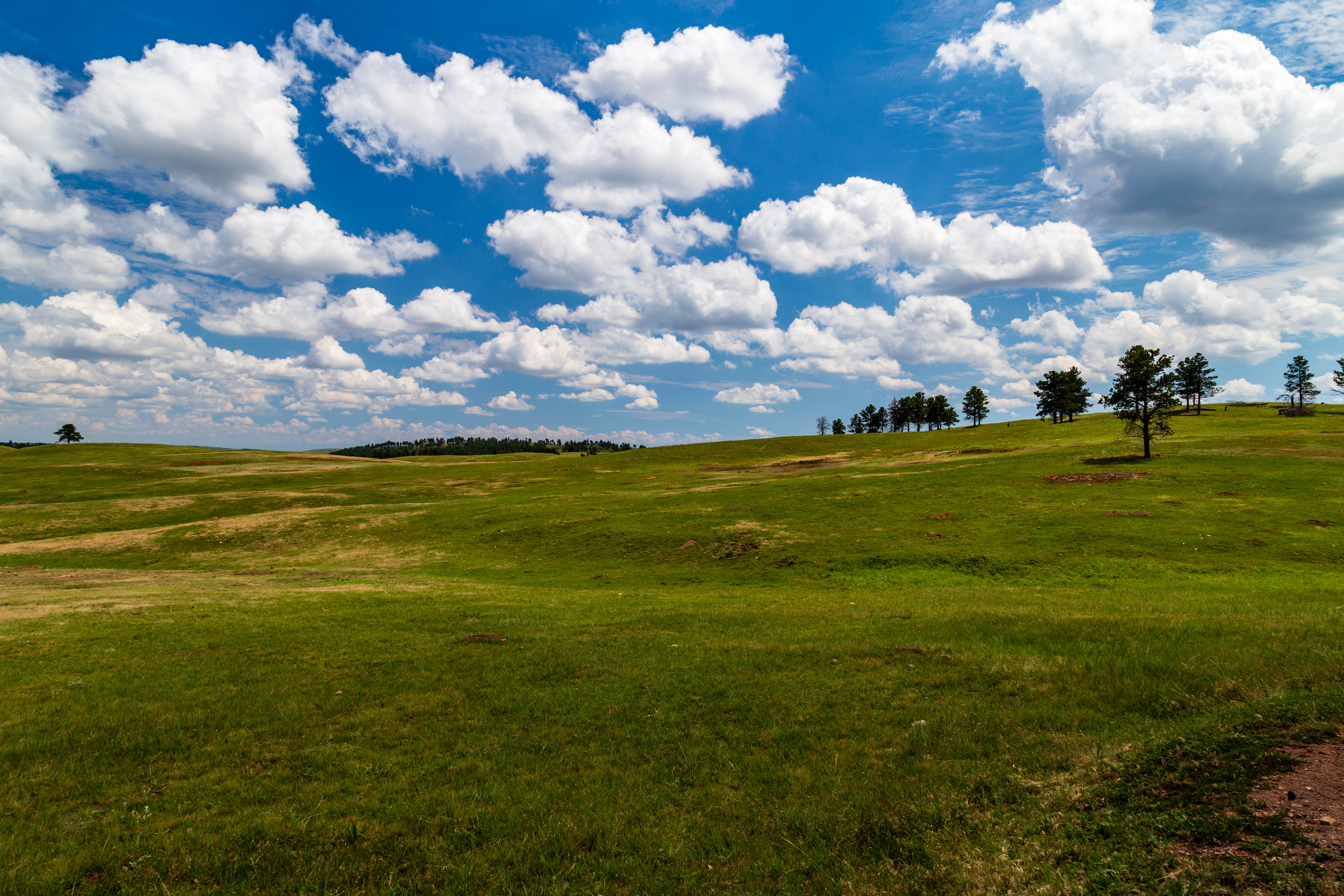
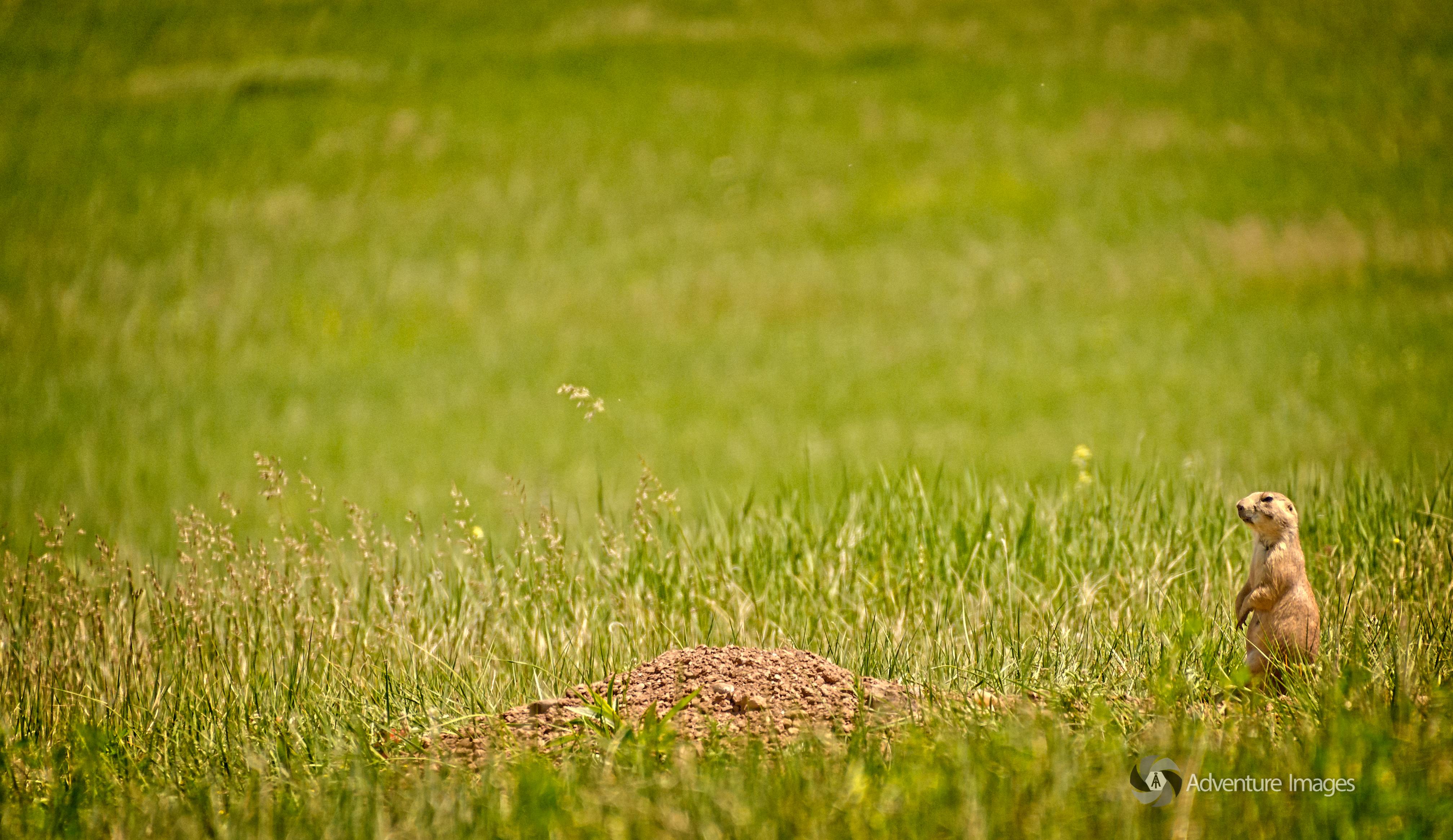
Prairie Grasses and Rolling Hills with Blue Skies Above (Wind Cave National Park)
popcorn sparkles windcave windcavenationalpark eastcuster southdakota usa jasbond007 nigeldawson copyrightnigeldawson2017 pentax k3ii smcpentaxda18135mmf3556edalifdcwr
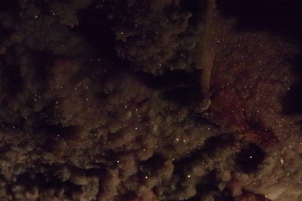
Starlight underground
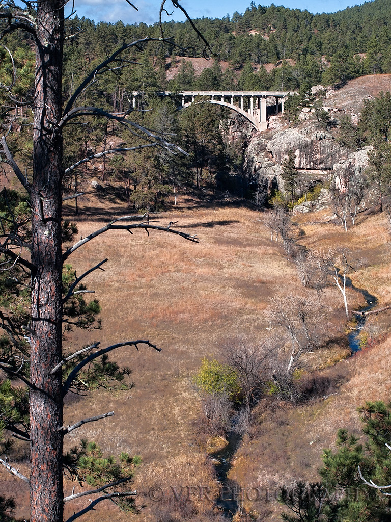
trees tree history texture vertical pine southdakota blackhills creek landscape concrete landscapes branch view nps unique branches scenic canyon historic evergreen pines bark valley views evergreens vista offseason historical beavercreek limbs vistas nationalparkservice limb canyons creeks perennial hotsprings custer valleys windcavenationalpark nationalregisterofhistoricplaces custercounty lateautumn beavercreekbridge deckarchbridge built1929 decharchbridge
Beaver Creek Bridge
grass landscape tree circularpolarizer nationalpark windcavenationalpark prairie vacation hill clouds bluesky grassland windcave hotsprings southdakota unitedstates us
The Prairie over Wind Cave NP
nikond800e day3 triptodakotasandwyoming triptodakotas naturalentrancecavetour capturenx2edited colorefexpro windcavenationalpark pahásápa washunniya southernblackhills blackhills greatplains northamericaplains landscape nature insidecave parkrangerledtour rangertour boxwork honeycombpattern aurorahdr aurorahdrpro hdr singleimagehdr makaoniye project365 portfolio southdakota unitedstates
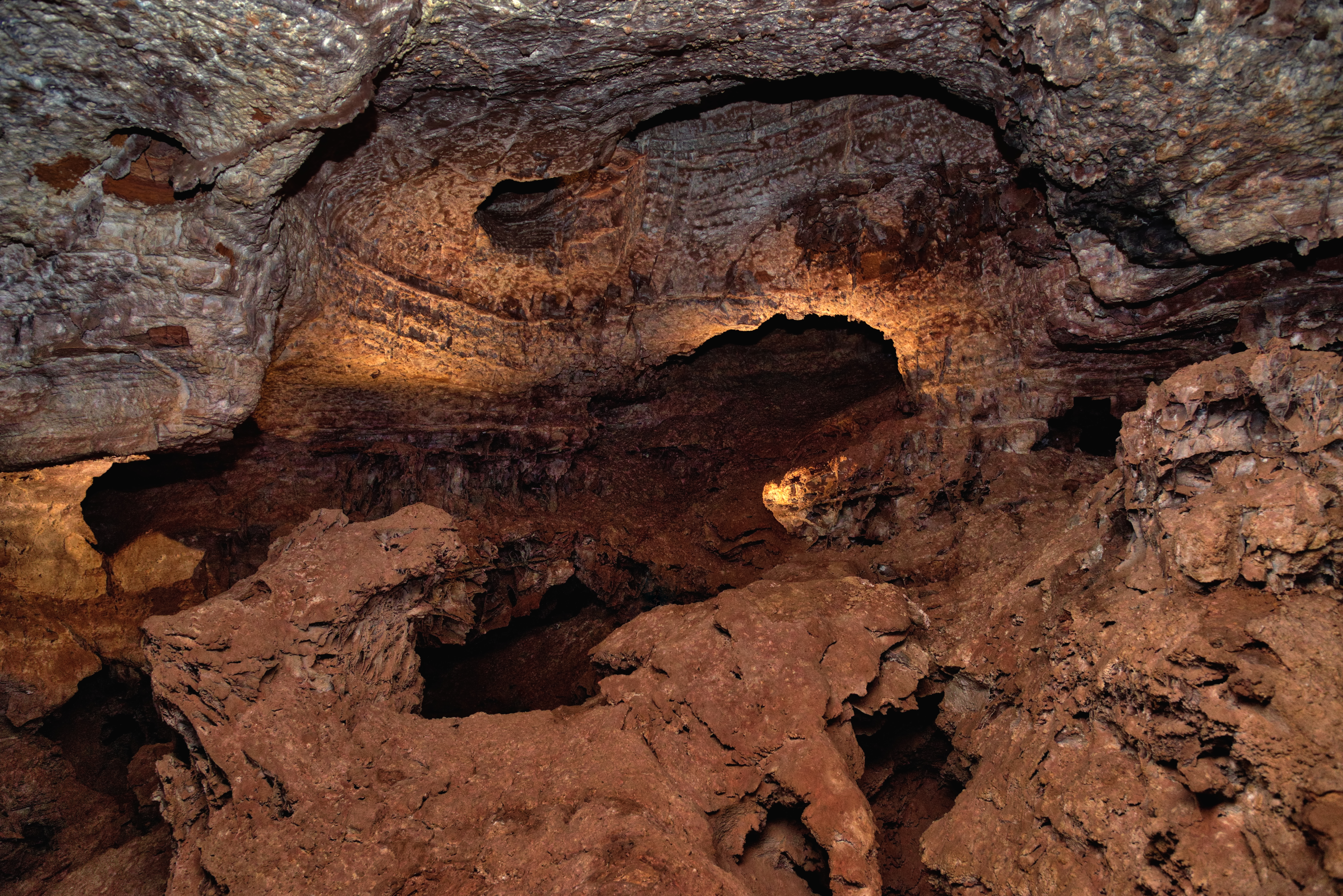
Lighting Up the Ceiling and Caves of Wind Cave National Park
coldspringiihistorical custer geo:lat=4358115638 geo:lon=10348546566 geotagged southdakota unitedstates usa 2018 18200 18200mm beavercreek blackhills bridge bridgeoverbeavercreek centennialtrail custercounty lookoutpointtrail road87 sd87 sonya6500 sonyalpha6500 sonye18200mmf3563oss sonyα6500 southdakotablackhills southdakotatouristattraction southdakotatravel southdakotavacation summer sunnyday touristattraction travel travelphotography vacation vacationphotos valley
Bridge Over Beaver Creek On SD87 (Custer County)
custer geo:lat=4360814201 geo:lon=10358597854 geotagged pringle southdakota unitedstates usa
Abandoned (Pringle, South Dakota)
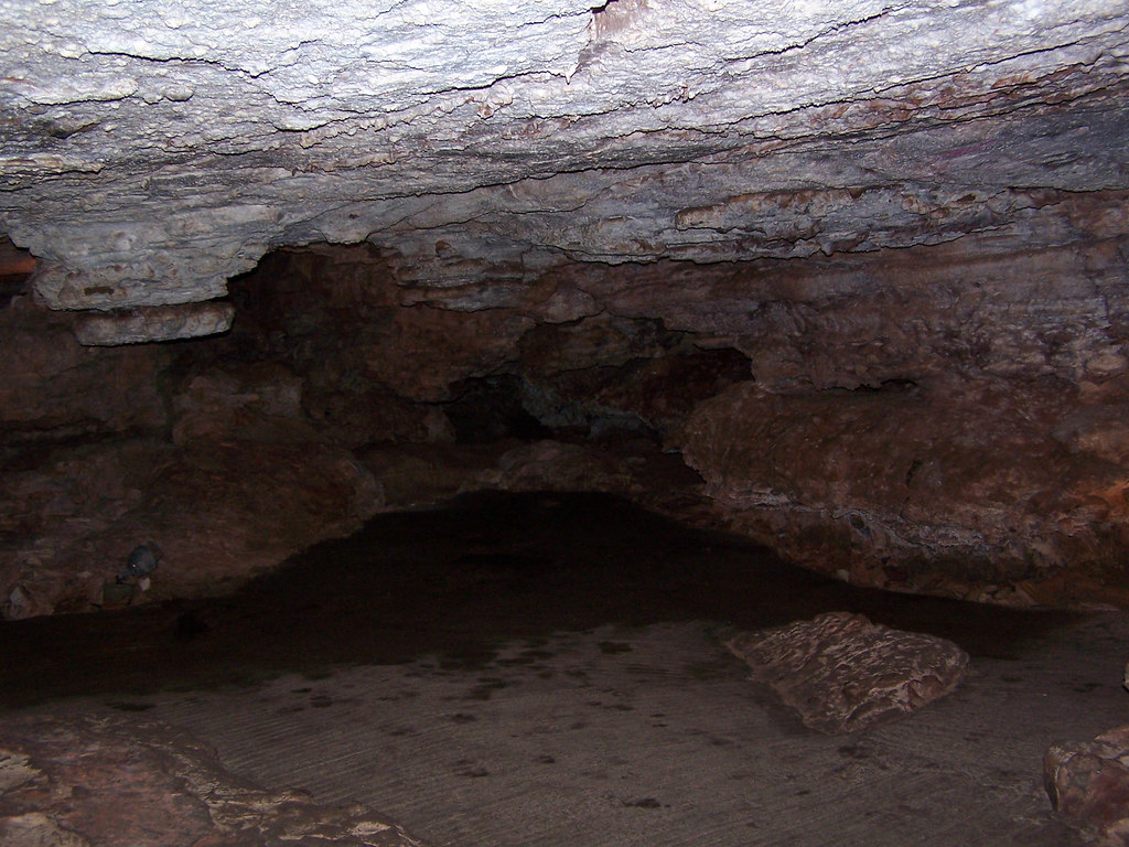
usa southdakota us nikon cave nikkor hotsprings cueva caverna d4 windcavenationalpark boxwork 2470mmf28g 2013071425421
Wind Cave [5421]
usa southdakota us nikon cave nikkor hotsprings cueva caverna d4 windcavenationalpark boxwork 2470mmf28g 2013071425377
Wind Cave [5377]
park wood blue trees light wild sky parco usa mountain green nature grass animal animals pine alberi clouds america landscape us nuvole unitedstates natural hill natura national cielo prairie np bison montagna animali paesaggio statiuniti naturale andreamoscato
Wind Cave National Park Landscape - South Dakota
custer custercounty southdakota usa windcavenationalpark hotsprings unitedstates
Wind Cave National Park
azimuth119 blackhills capturenx2edited colorefexpro day3 evergreentrees evergreens grassland grassyarea grassyfield grassymeadow greatplains hillsideoftrees landscape lookingese meadows nature nikond800e northamericaplains outside overcast pahásápa ponderosapines project365 rollinghillsides southernblackhills trees triptodakotas triptodakotasandwyoming washunniya windcavecanyontrail windcavenationalpark southdakota unitedstates
Groves of Trees Along While Walking Along the Wind Cave Canyon Trail (Wind Cave National Park)
062618 Wind Cave NP (57)
travel nature southdakota underground roadtrip cave cavern windcave windcavenationalpark
Wind Cave! Again!
custer southdakota
Lookout Point
park wild parco usa green nature grass animals america landscape us unitedstates natural wildlife natura national prairie np bro animali paesaggio statiuniti naturale andreamoscato
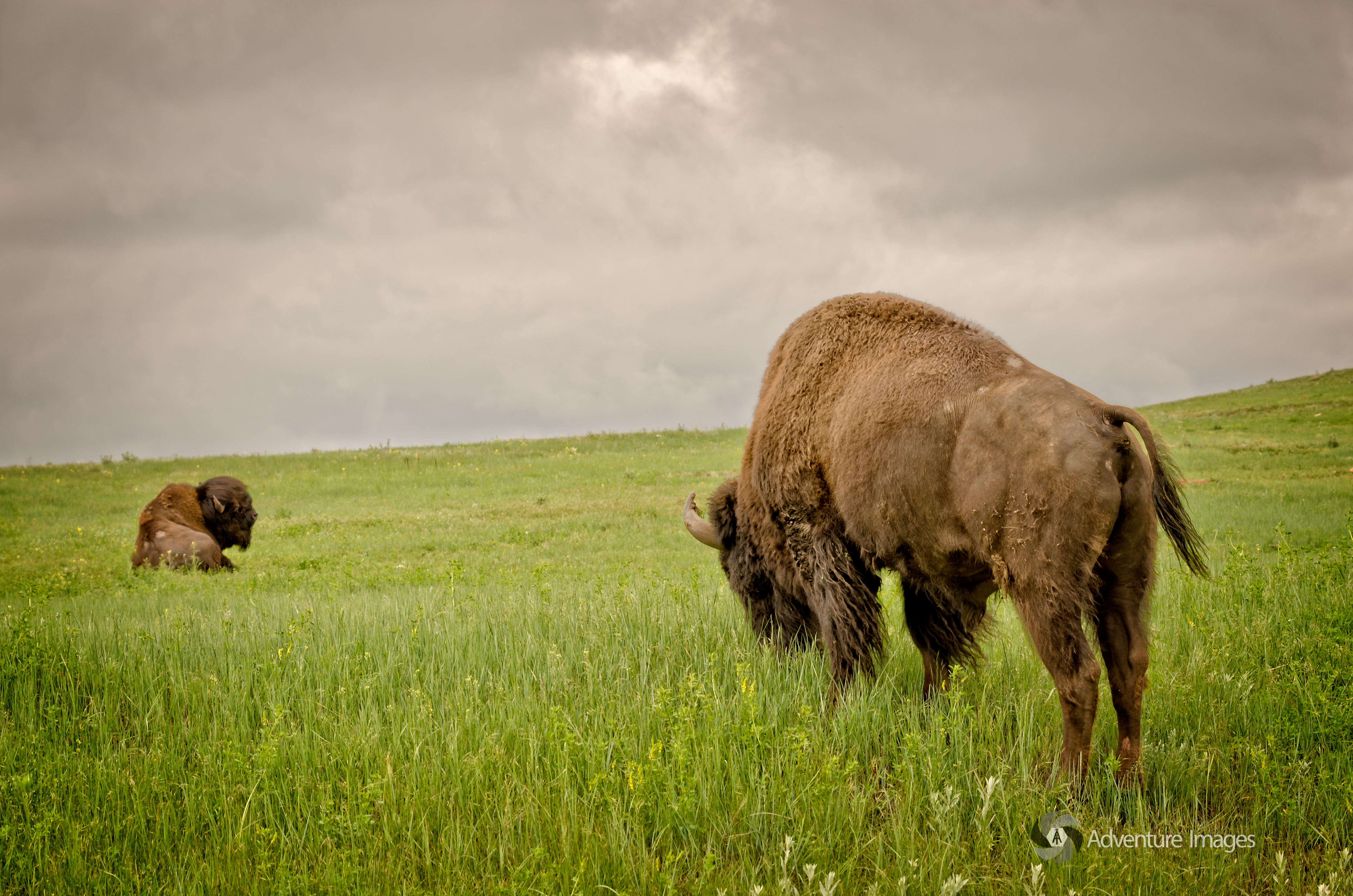
Bison, Wind Cave National Park - South Dakota
usa utah
Black Hills - USA
southdakota prairiedogs custerstatepark
_RWB4425-Edit.jpg
azimuth169 blackwhite blackhills capturenx2edited cloudy coldspringcreek colorefexpro creek evergreentrees evergreens grassyarea grassyfield grassymeadow greatplains hillsideoftrees ideasigotfromothers landscape lookingsouth lookoutpointtrail lookouttrail meadows minimalist mountains mountainsindistance mountainsoffindistance nature nikond800e northamericaplains outside overcast overcastwithclouds pahásápa ponderosapines portfolio project365 rollinghillsides southernblackhills trees washunniya windcavenationalpark southdakota unitedstates
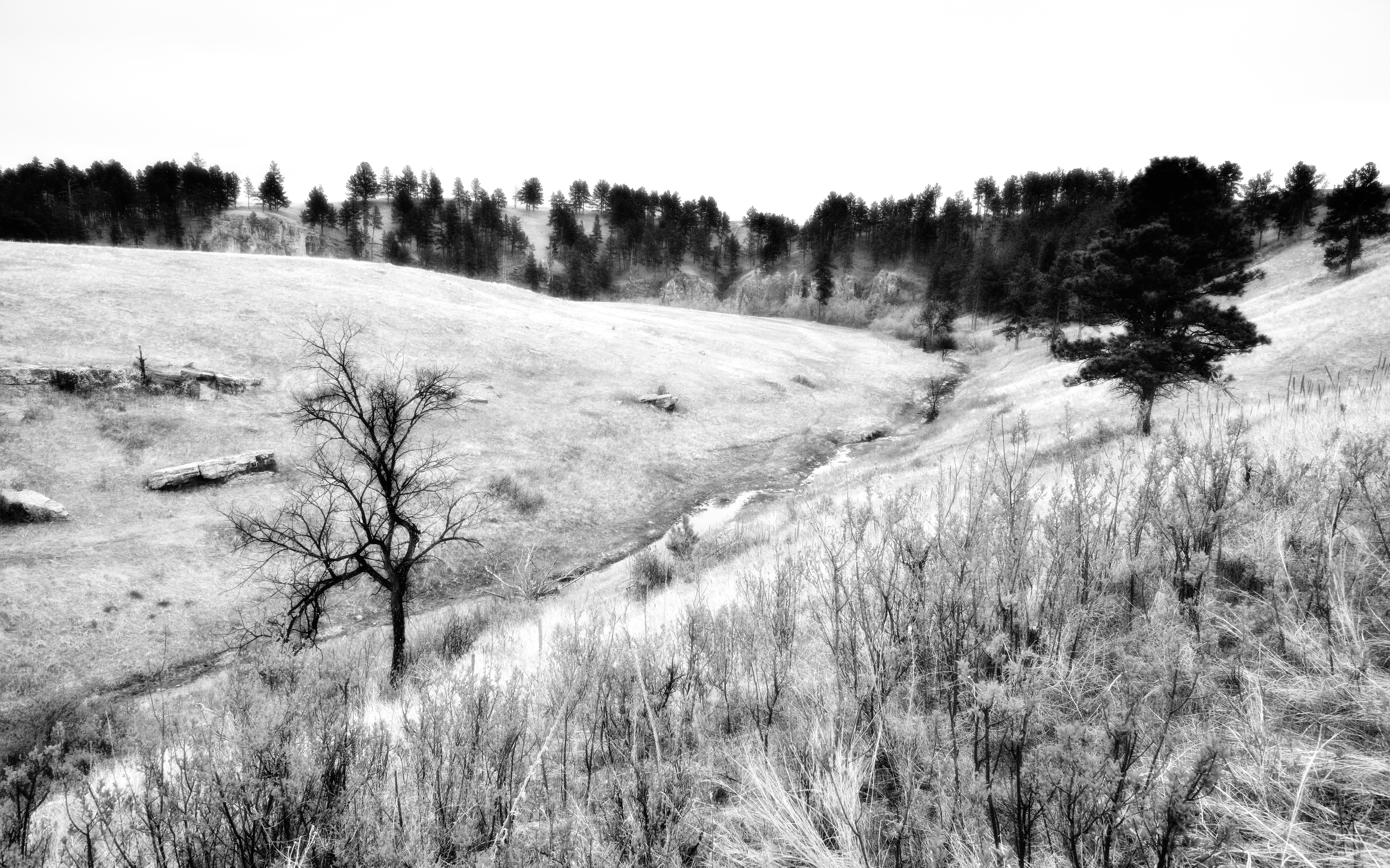
A Minimalistic Landscape Around Wind Cave National Park and Cold Spring Creek (Black & White)
southdakota custerstatepark buffaloes
_RWB4230-Edit.jpg
custer custercounty southdakota usa windcavenationalpark hotsprings unitedstates
Wind Cave National Park