Elevation of Ed Welsh Rd, Burlington, WV, USA
Location: United States > West Virginia > Burlington >
Longitude: -79.013840
Latitude: 39.2845628
Elevation: 433m / 1421feet
Barometric Pressure: 96KPa
Elevation Map:
Satellite Map:
Related Photos:

Saddle Mountain - Allegheny Front - WV - August 1960

safe way

Going away view

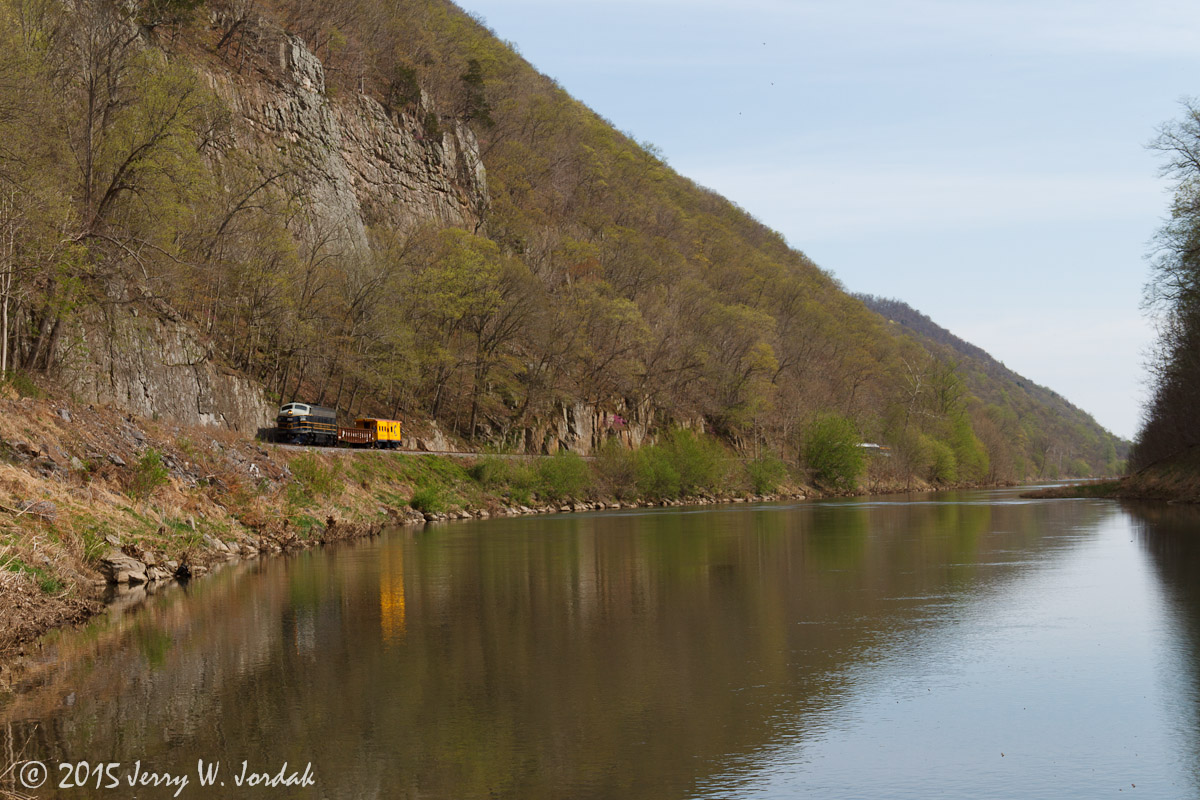
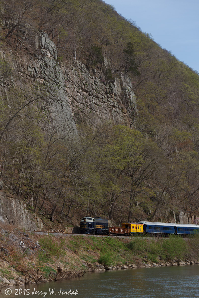
"Gondola Car" on Potomac Eagle

Playing with art effects - abandoned Chevette

Persian Speedwell

Hanging Out

"Scenic" Overlook
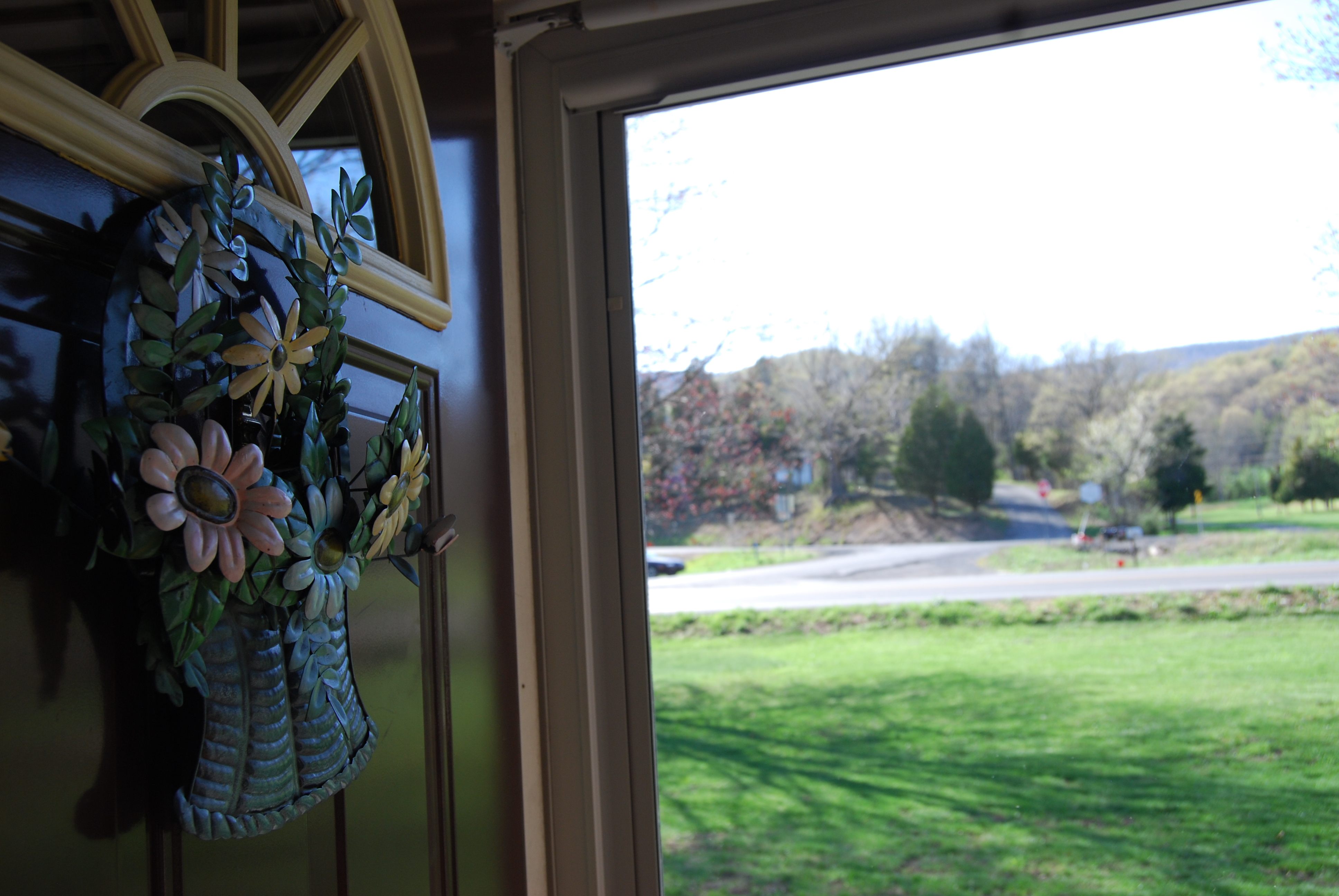
Out The Door

Dawn of 2018: Snowy Mountain Forest Sunrise
Saddle Mountain, WV

Sunset, Corridor H

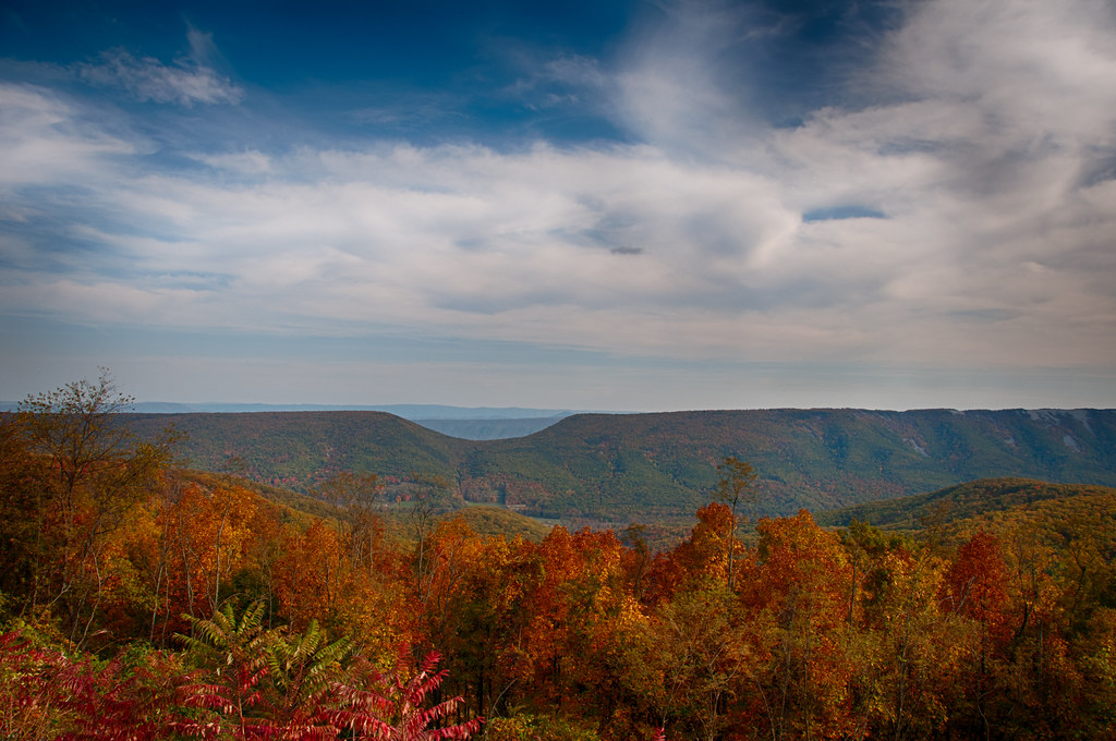
"The Pinnacle" Overlooking Keyser, WV

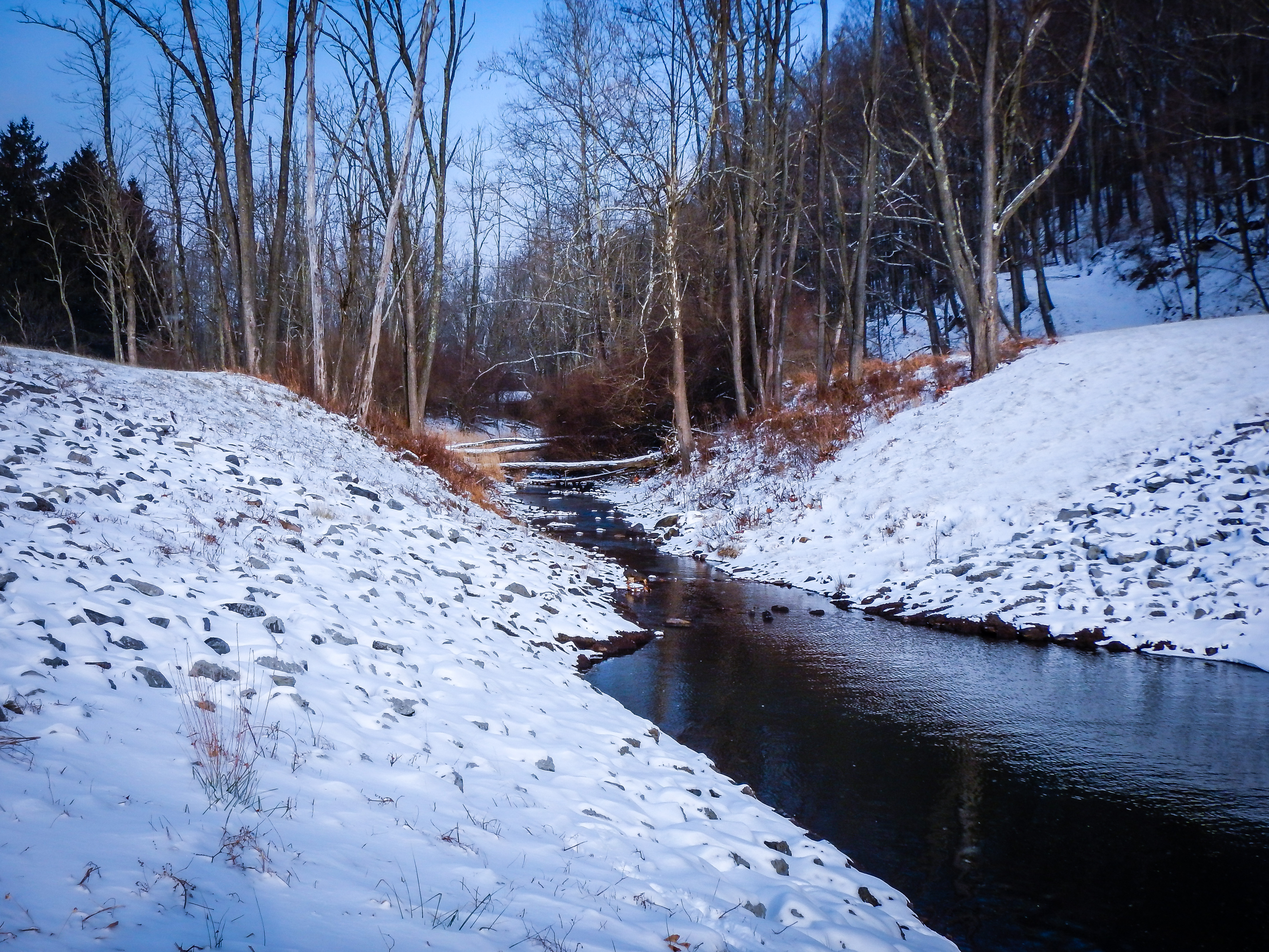
Snow Below, Mineral County, WV
West Virginia Winter
Feeling lonely

Greenland Gap Rocks

IMG_9805.poker.float.eagles.nest.jim

Mountains in the Morning Fog

New Creek, Keyser, WV

Mike's Run

Dreamy Day
Between a rock and wet place
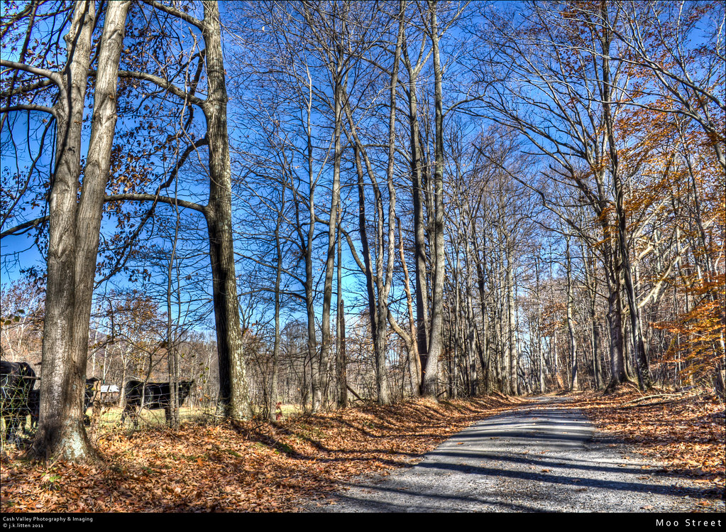
Moo Street

Rock Ledge
Jesus deliver me from Government Interference

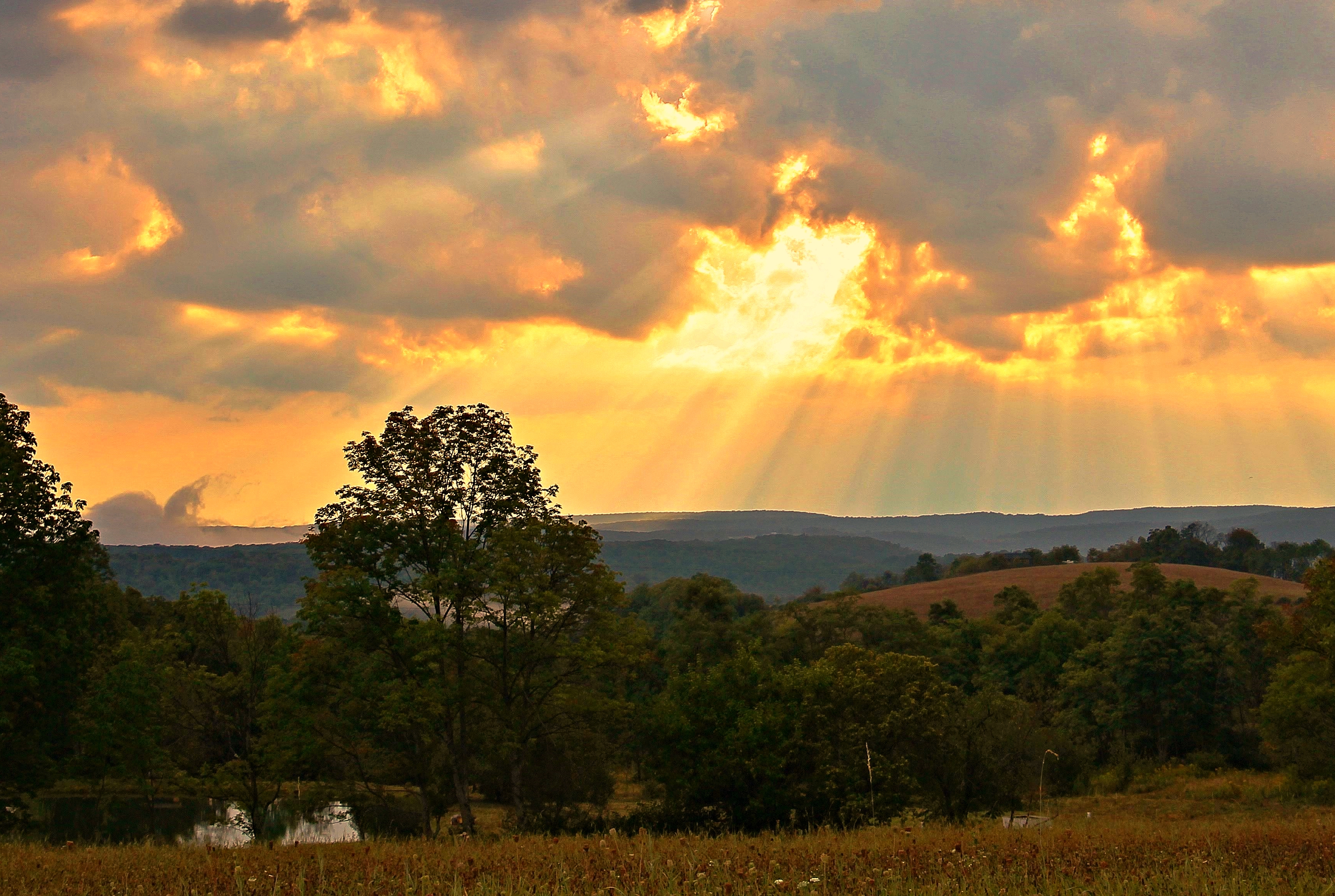
The Soft Light of Evening

Saddle Mountain

IMG_5711-Pano
Topographic Map of Ed Welsh Rd, Burlington, WV, USA
Find elevation by address:

Places near Ed Welsh Rd, Burlington, WV, USA:
269 Tucker Ridge Rd
Burlington
Push Root Road
Elk Garden, WV, USA
2254 High Knob Rd
Mill Creek
High Knob
Old Fields
Patterson Creek Road
Old Fields
1265 Moon Ridge Ln
Grant
Walnut Bottom Road
Ashton Woods Drive
South Branch River Road
Ridge View Road
96 River View Ln, Moorefield, WV, USA
136 N Apple Ridge Rd
Winterberry Drive
3524 Middle Ridge Rd
Recent Searches:
- Elevation of Corso Fratelli Cairoli, 35, Macerata MC, Italy
- Elevation of Tallevast Rd, Sarasota, FL, USA
- Elevation of 4th St E, Sonoma, CA, USA
- Elevation of Black Hollow Rd, Pennsdale, PA, USA
- Elevation of Oakland Ave, Williamsport, PA, USA
- Elevation of Pedrógão Grande, Portugal
- Elevation of Klee Dr, Martinsburg, WV, USA
- Elevation of Via Roma, Pieranica CR, Italy
- Elevation of Tavkvetili Mountain, Georgia
- Elevation of Hartfords Bluff Cir, Mt Pleasant, SC, USA