Elevation of East Pecos Baldy, New Mexico, USA
Location: United States > New Mexico > Rociada >
Longitude: -105.65416
Latitude: 35.9130555
Elevation: 3469m / 11381feet
Barometric Pressure: 66KPa
Elevation Map:
Satellite Map:
Related Photos:

Lake Katherine
View from the ridge
Panorama from S Truchas - ESE
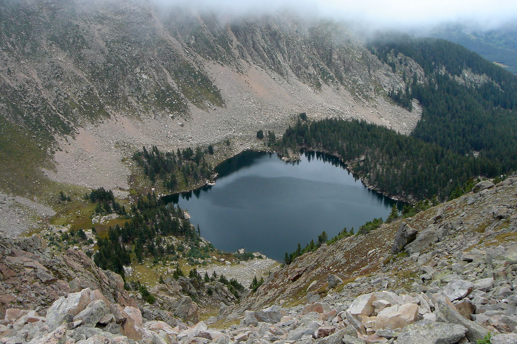
Lake Katherine
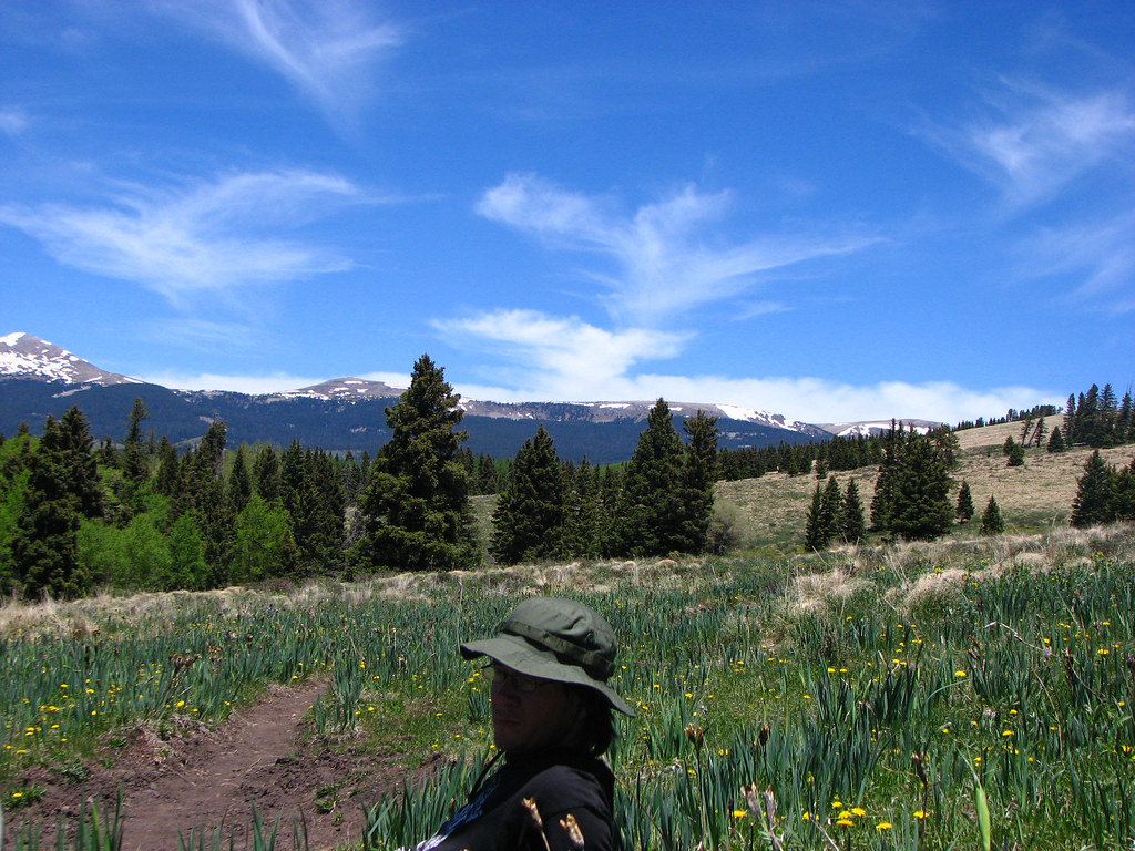
Cowboy in front of Truchas Peaks
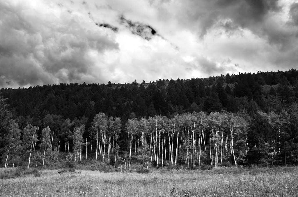
Santa Fe Nat Forest Aspen B&W
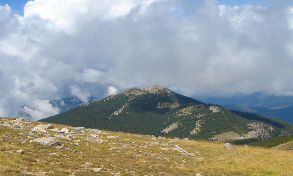
Santa Fe Baldy

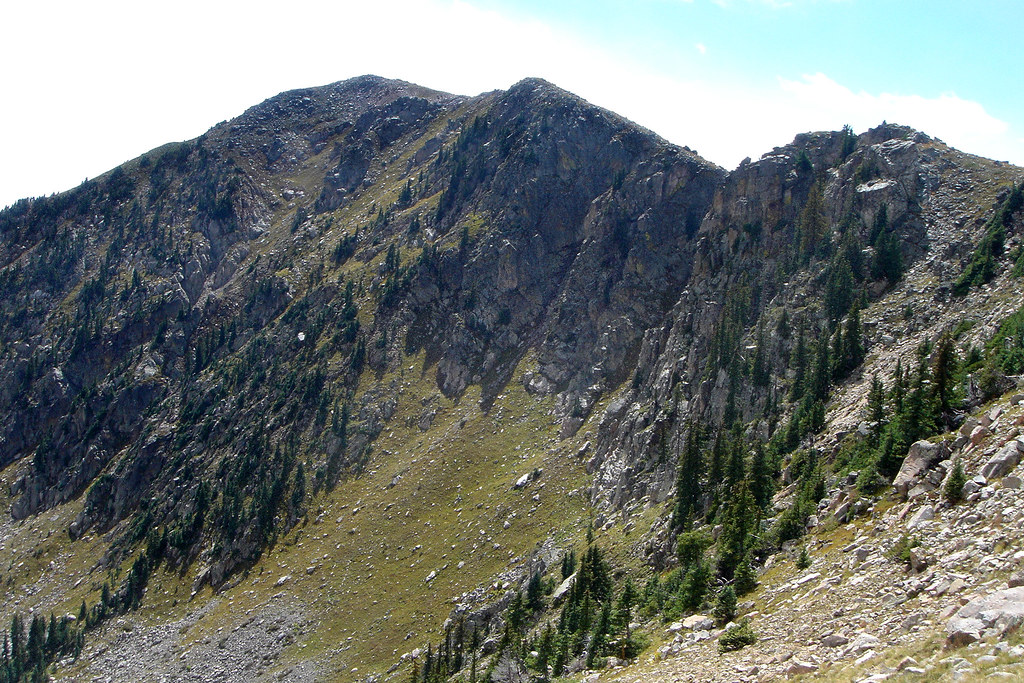
Summit View
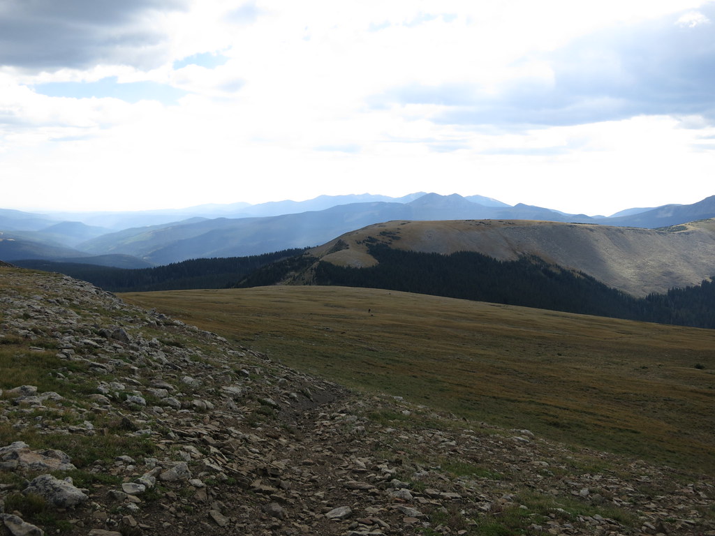
Big View

another view from the northridge above the refuge
Soutwest View

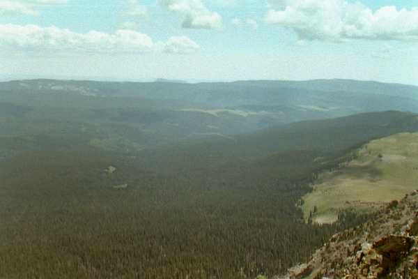
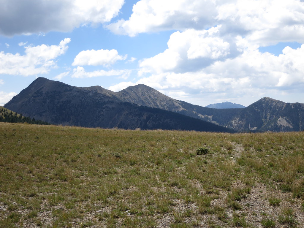
Valley View
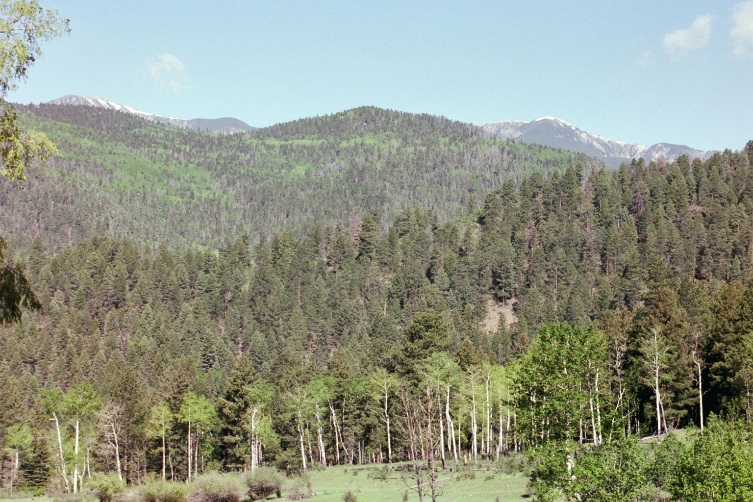
Santa Fe National Forest, New Mexico
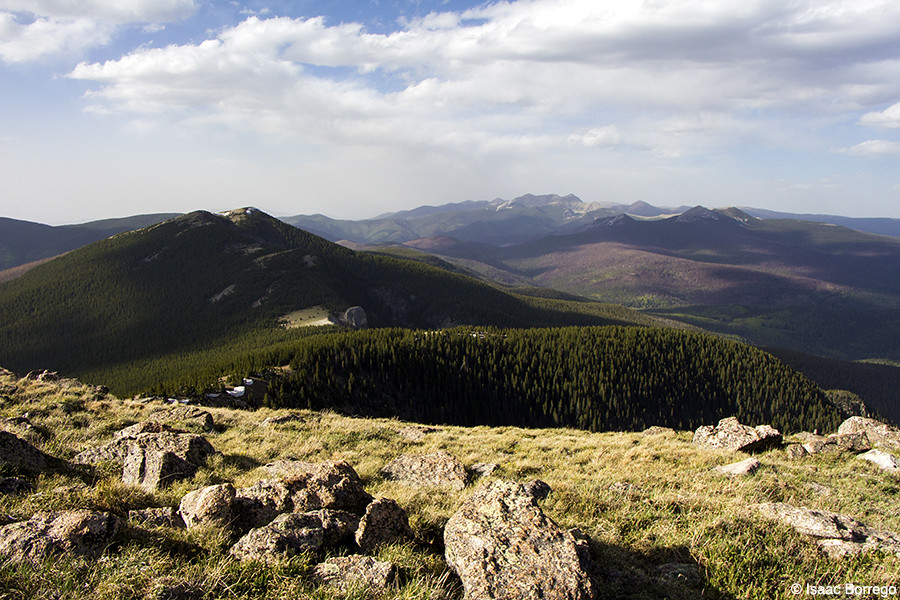
View to the North
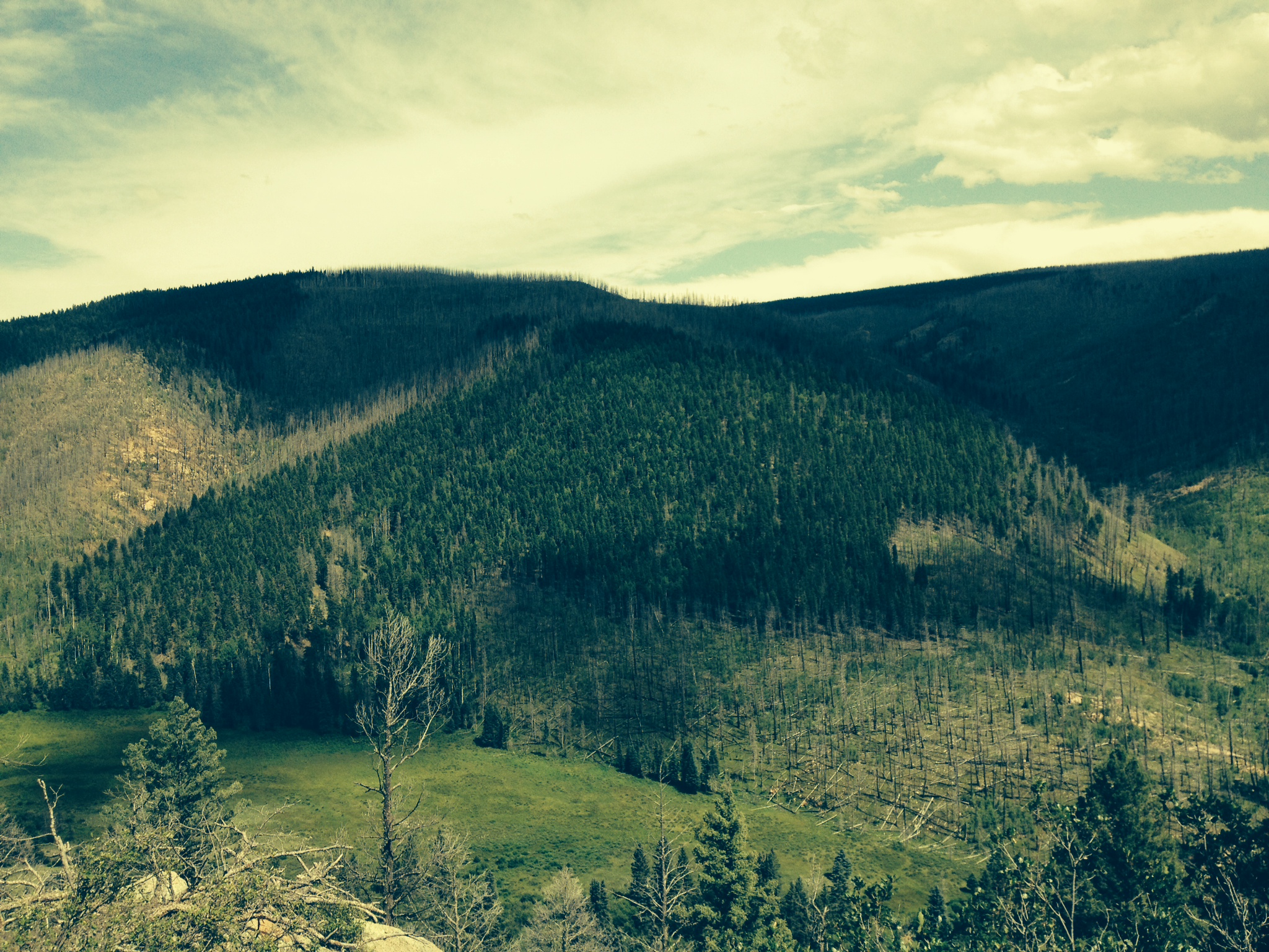
Big View
Topographic Map of East Pecos Baldy, New Mexico, USA
Find elevation by address:

Places near East Pecos Baldy, New Mexico, USA:
Round Mountain
Truchas Peak
The Dome
Chimayosos Peak
Mudge Road
Hidden Lake
Grass Mountain
Windsor Rd, Tererro, NM, USA
Cowles
Sierra Mosca
Trampas Peak
Santa Fe Baldy
39 Terrero Ranch Rd
Lake Peak
Jicarita Peak
Tererro
Serpent Lake
Santa Barbara Campground
Ski Santa Fe
Ski Santa Fe
Recent Searches:
- Elevation of Corso Fratelli Cairoli, 35, Macerata MC, Italy
- Elevation of Tallevast Rd, Sarasota, FL, USA
- Elevation of 4th St E, Sonoma, CA, USA
- Elevation of Black Hollow Rd, Pennsdale, PA, USA
- Elevation of Oakland Ave, Williamsport, PA, USA
- Elevation of Pedrógão Grande, Portugal
- Elevation of Klee Dr, Martinsburg, WV, USA
- Elevation of Via Roma, Pieranica CR, Italy
- Elevation of Tavkvetili Mountain, Georgia
- Elevation of Hartfords Bluff Cir, Mt Pleasant, SC, USA