Elevation of East Oak Bluff-Blue Cane Township, AR, USA
Location: United States > Arkansas > Clay County >
Longitude: -90.243230
Latitude: 36.2411419
Elevation: 76m / 249feet
Barometric Pressure: 100KPa
Elevation Map:
Satellite Map:
Related Photos:

CR 401 - A Dusty, Summer Sunset

CR 401 - Foggy Fall Morning

Daffodil Fairy Tale
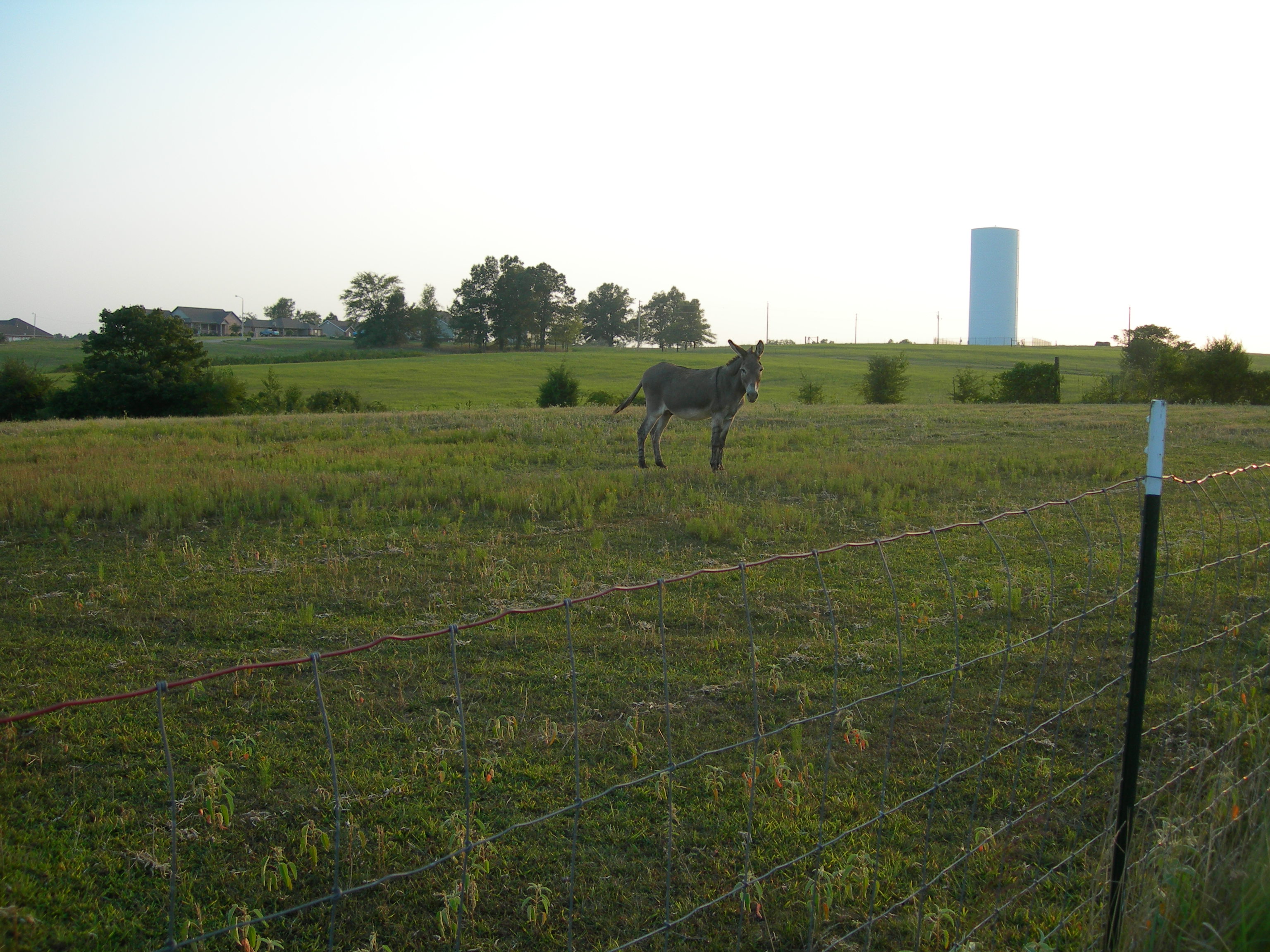
014 John, my grandfather's faithful old mule

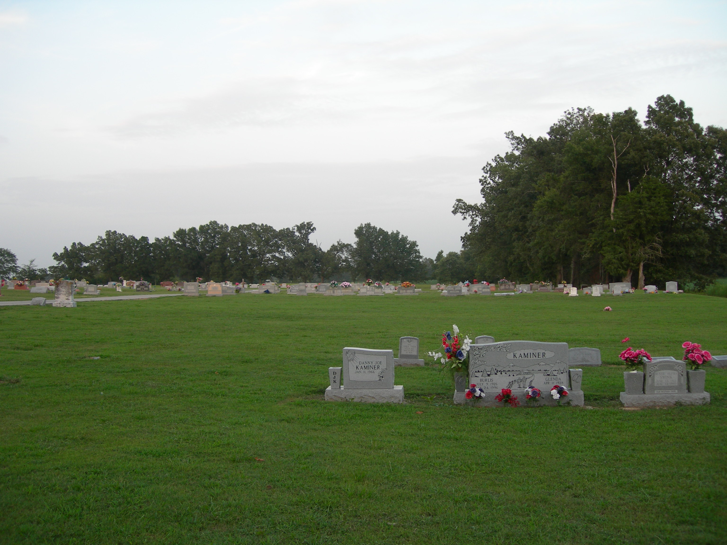
HC Harvey's Chapel Cemetery 2
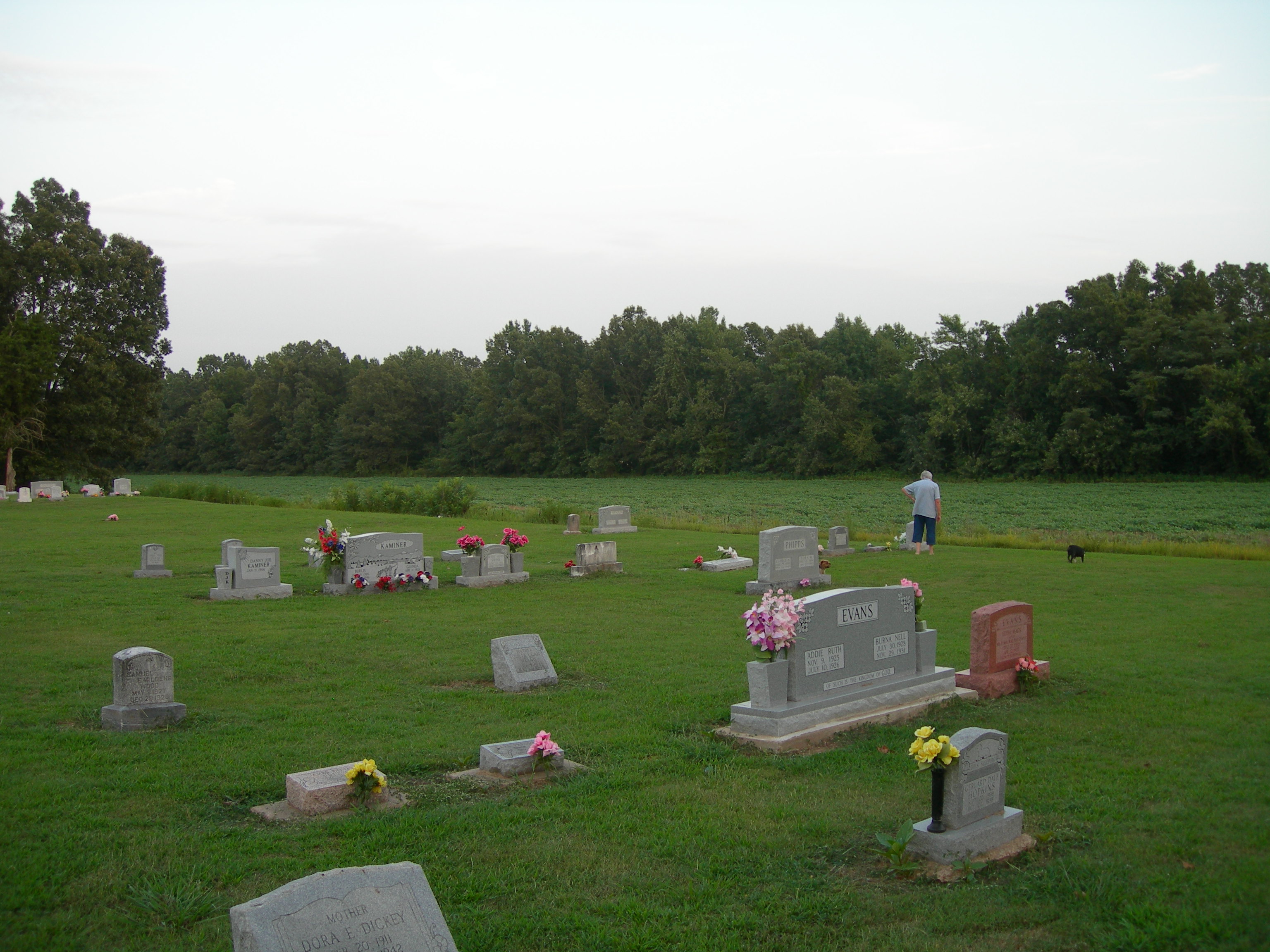
HC Harvey's Chapel Cemetery 6
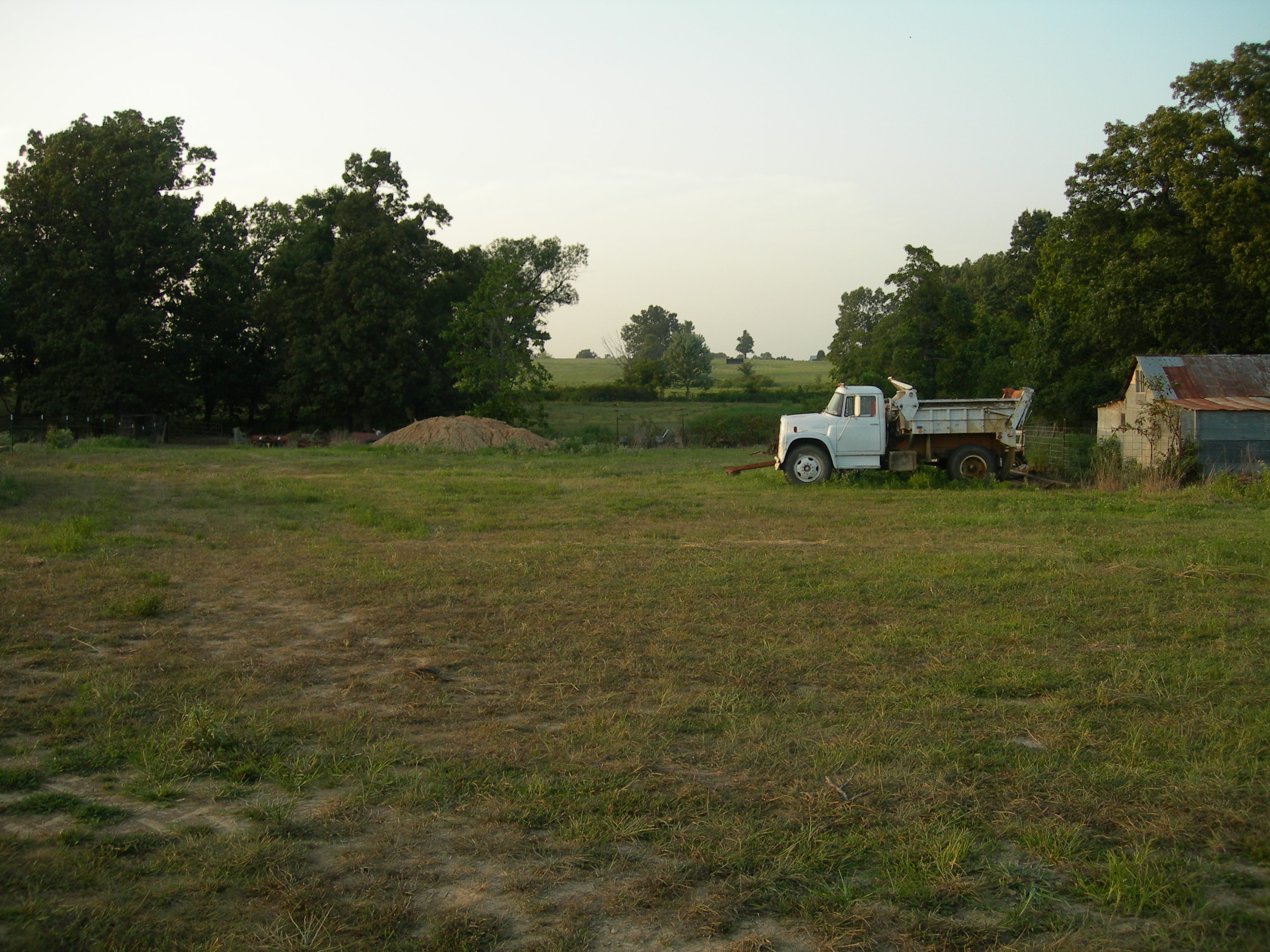
011 Across the fields

013 John
HC Harvey's Chapel Cemetery 5

CR 401 - SPRING!!

CR 401 - Winter Sunrise
Topographic Map of East Oak Bluff-Blue Cane Township, AR, USA
Find elevation by address:

Places in East Oak Bluff-Blue Cane Township, AR, USA:
Places near East Oak Bluff-Blue Cane Township, AR, USA:
11 Co Rd, Rector, AR, USA
AR-90, Rector, AR, USA
Rector
S Main St, Rector, AR, USA
County Road 478
Co Rd, Rector, AR, USA
West Oak Bluff Township
AR-90, Rector, AR, USA
Bradshaw-haywood Township
976 Co Rd 475
Co Rd, Rector, AR, USA
Co Rd, Rector, AR, USA
Payne-swain Township
Piggott
Co Rd, Kennett, MO, USA
Nimmons
Dock St, Rector, AR, USA
US-62, Piggott, AR, USA
Co Rd, Piggott, AR, USA
Kennett
Recent Searches:
- Elevation of Corso Fratelli Cairoli, 35, Macerata MC, Italy
- Elevation of Tallevast Rd, Sarasota, FL, USA
- Elevation of 4th St E, Sonoma, CA, USA
- Elevation of Black Hollow Rd, Pennsdale, PA, USA
- Elevation of Oakland Ave, Williamsport, PA, USA
- Elevation of Pedrógão Grande, Portugal
- Elevation of Klee Dr, Martinsburg, WV, USA
- Elevation of Via Roma, Pieranica CR, Italy
- Elevation of Tavkvetili Mountain, Georgia
- Elevation of Hartfords Bluff Cir, Mt Pleasant, SC, USA