Elevation of East Cape Girardeau, IL, USA
Location: United States > Illinois > Alexander County > Mcclure Precinct >
Longitude: -89.496202
Latitude: 37.2958838
Elevation: 102m / 335feet
Barometric Pressure: 100KPa
Elevation Map:
Satellite Map:
Related Photos:
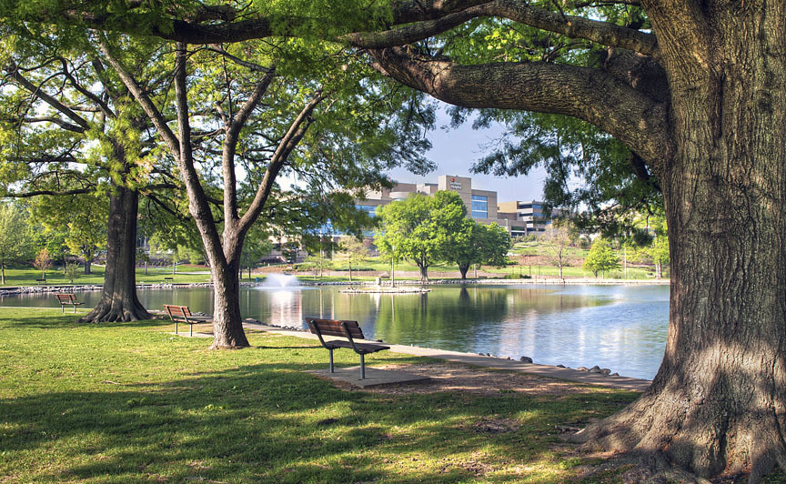
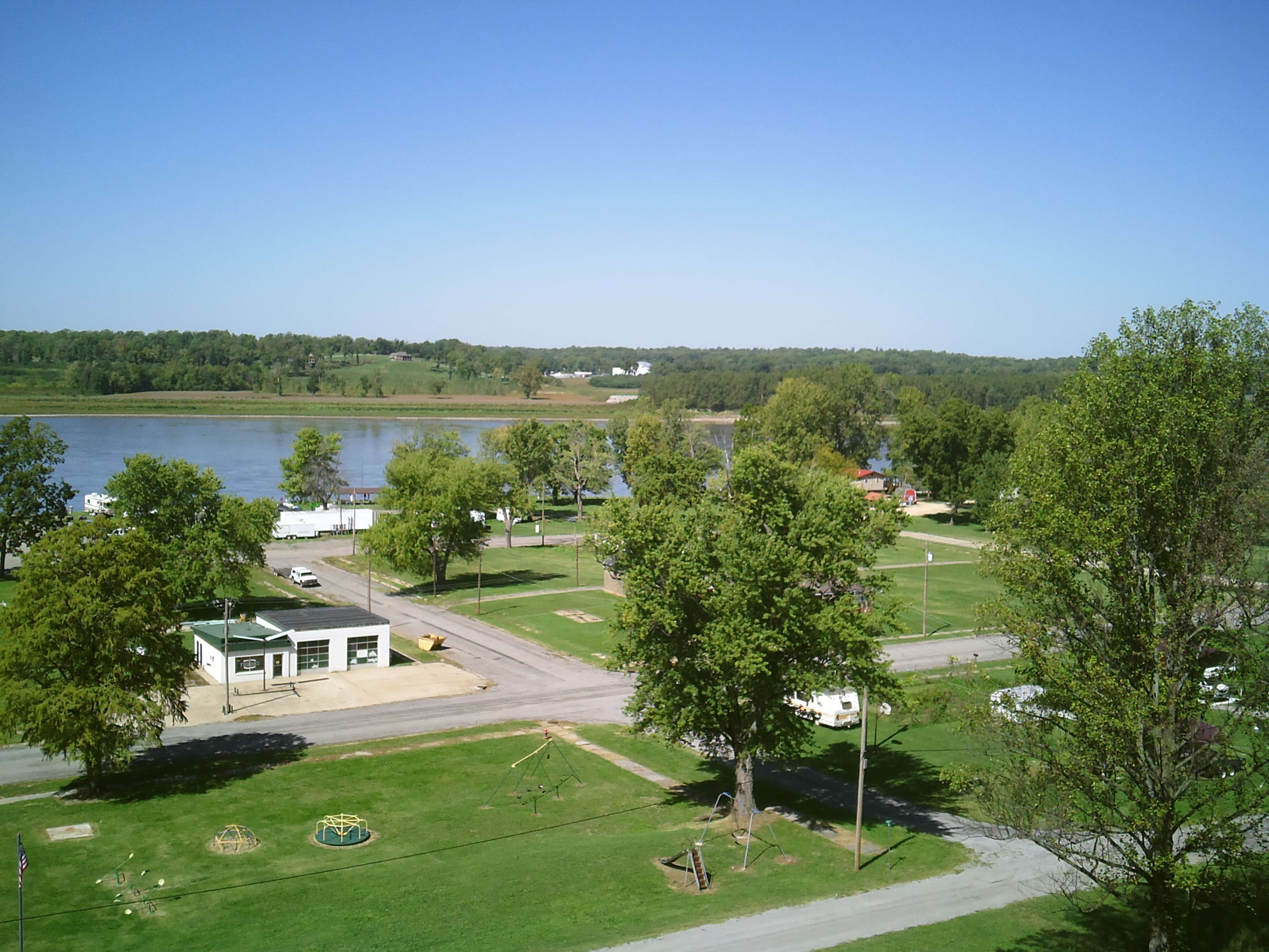
Capaha Park In Cape Girardeau MO

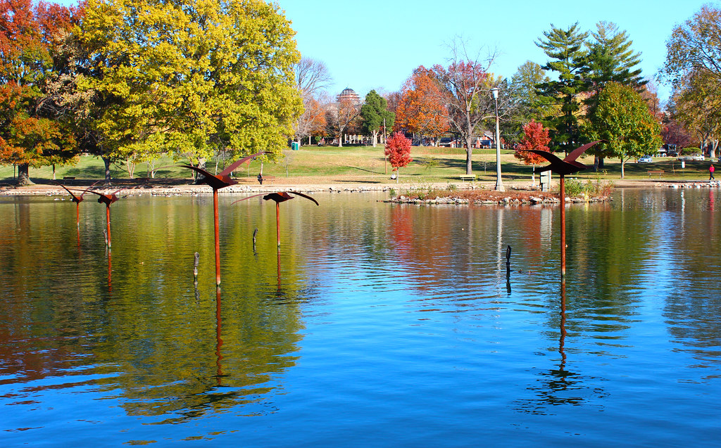
Capaha Park Fall 2009 2
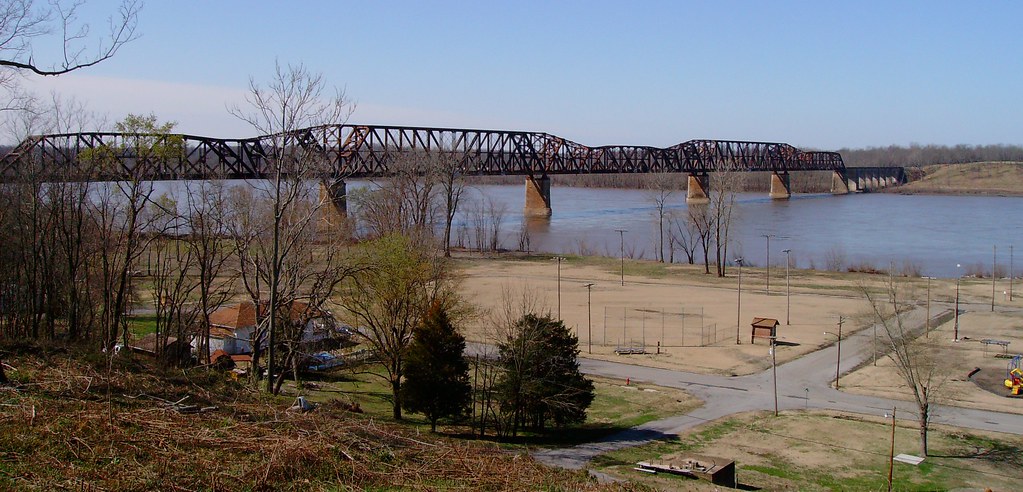
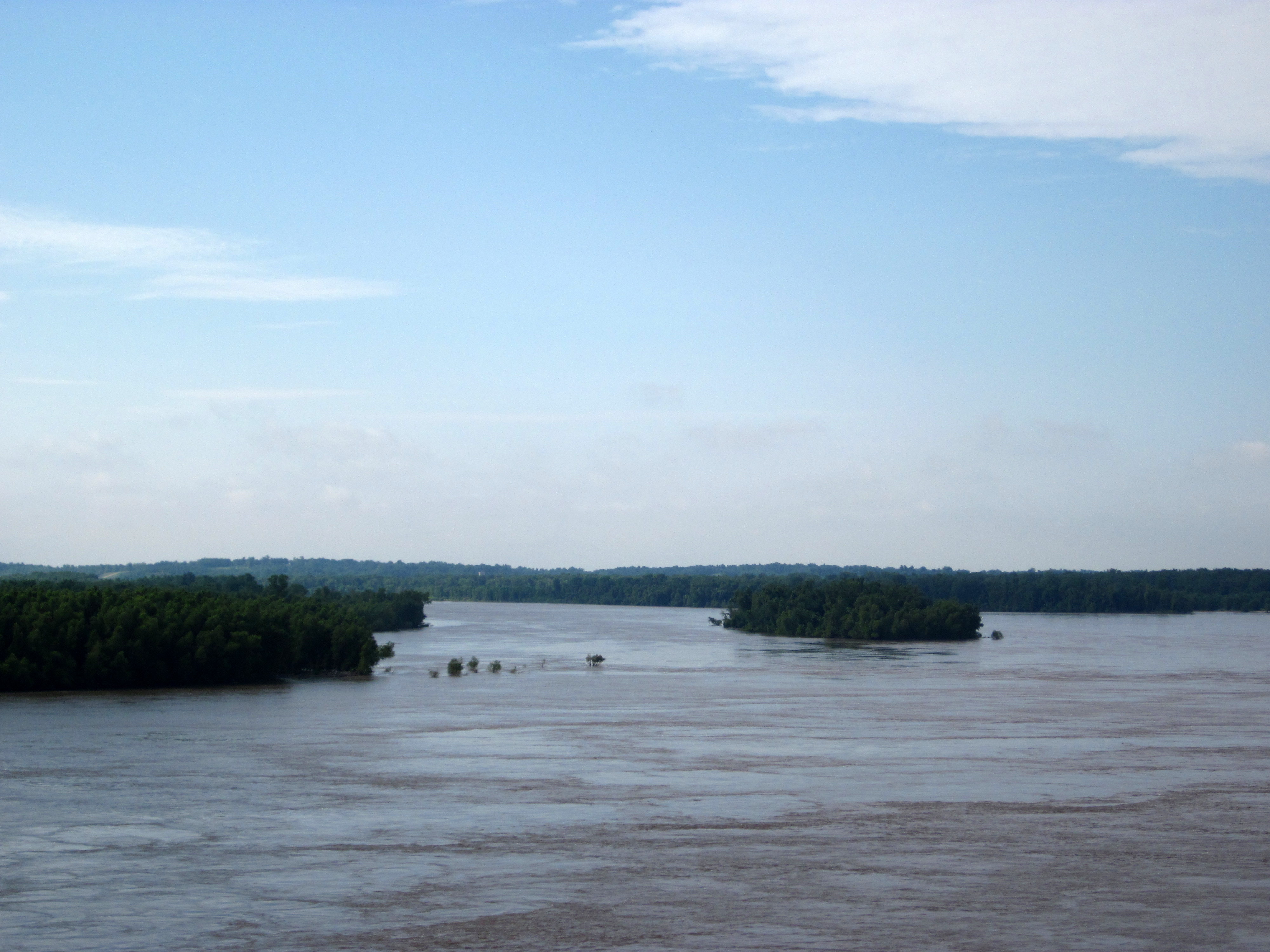
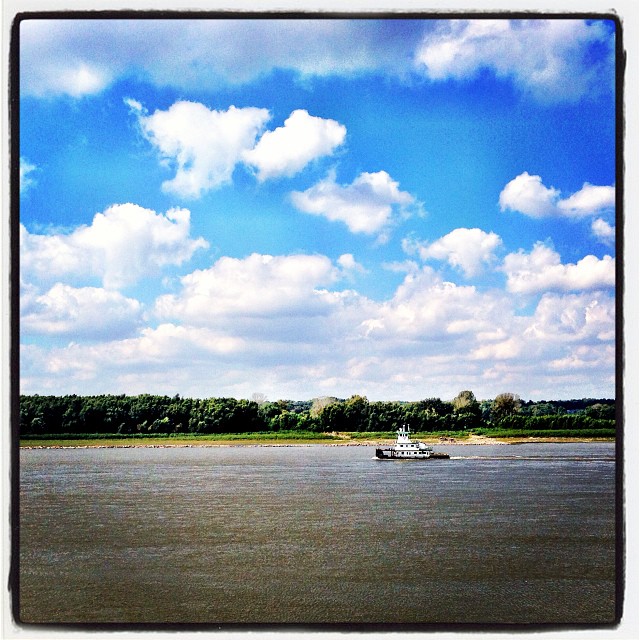
Mississippi River (Thebes, Illinois)

Common Pleas Courthouse
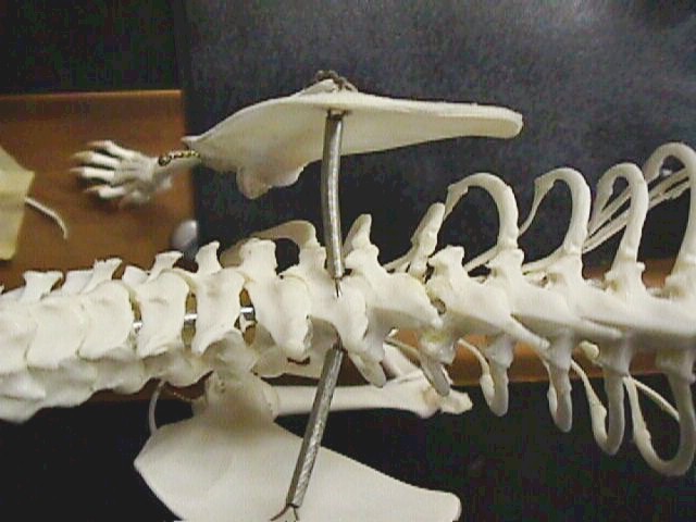
Cat skeleton

Splicing repression
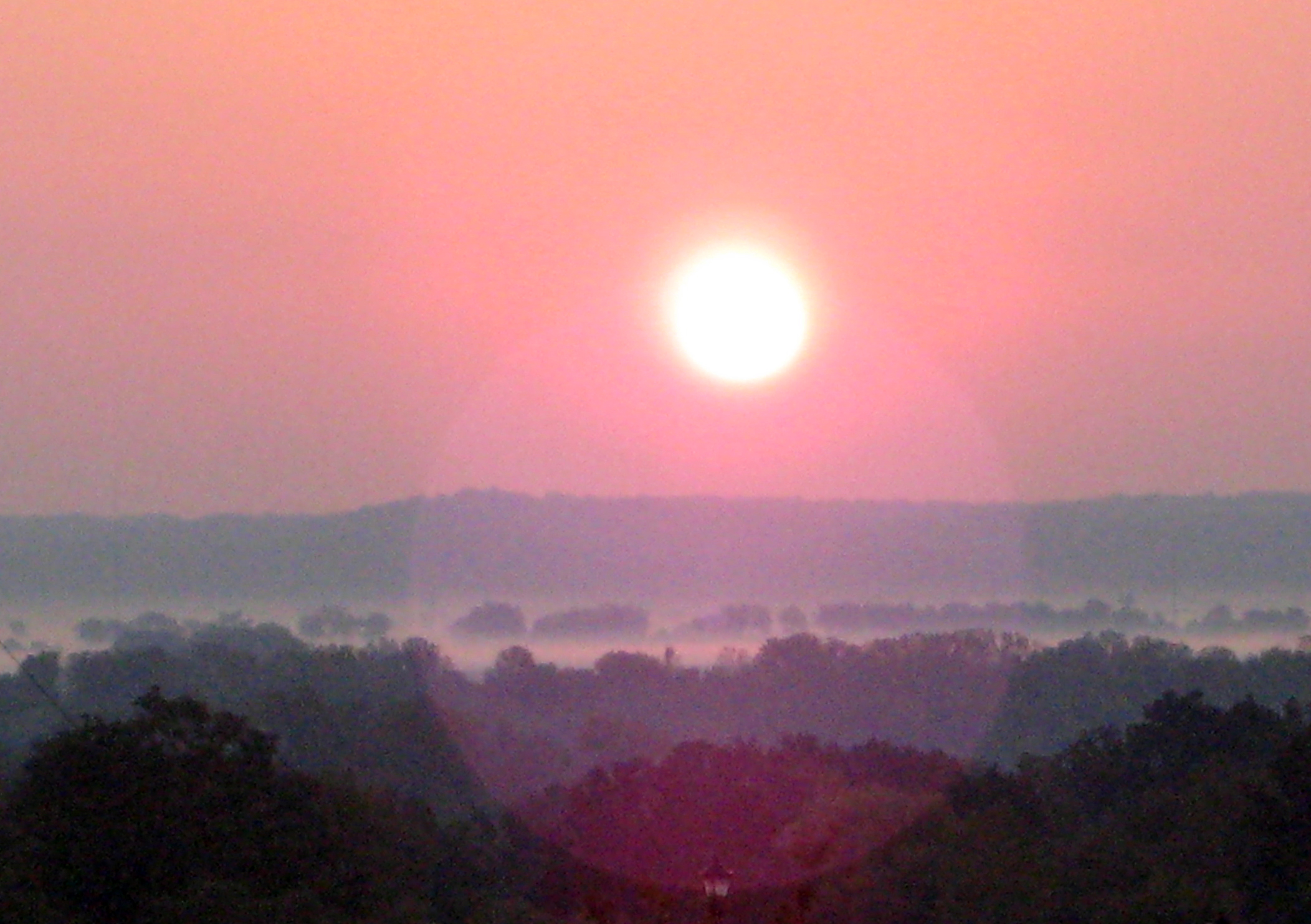
Sunrise over Illinois
2011-05-28 - Cape Girardeau, MO
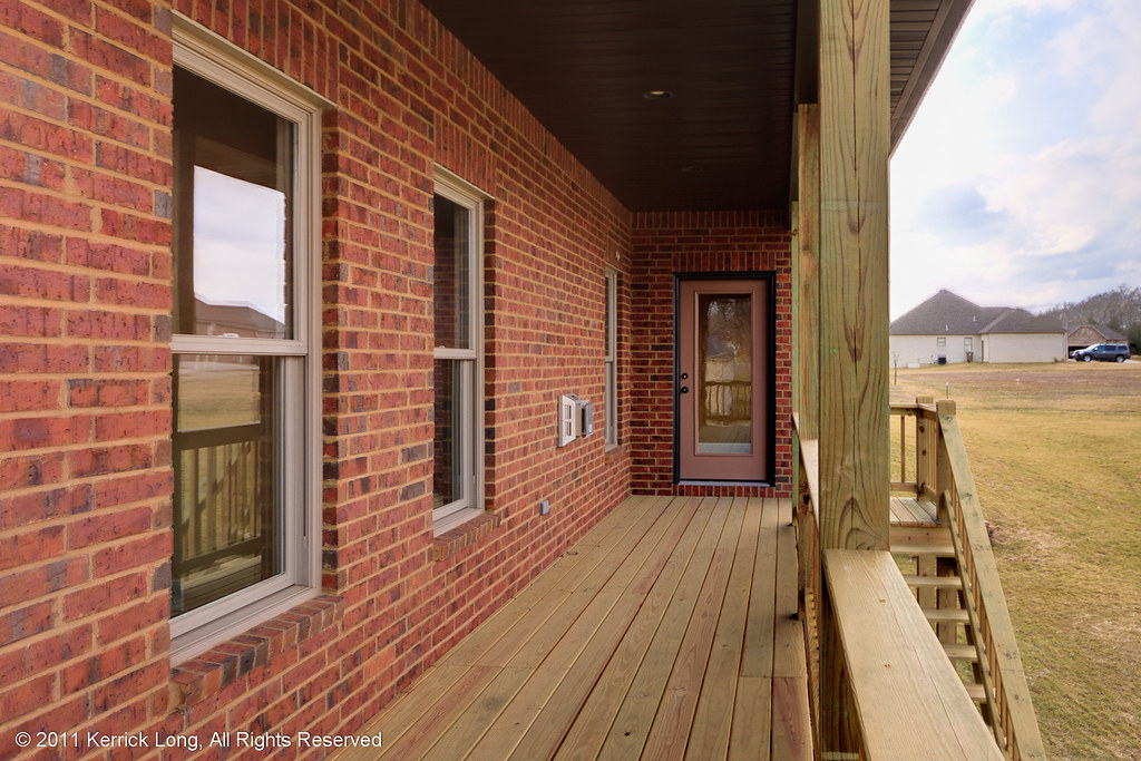
66424 - Deck View
Alternate View
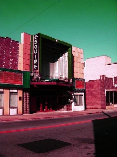
The Esquire.
Broken view 1

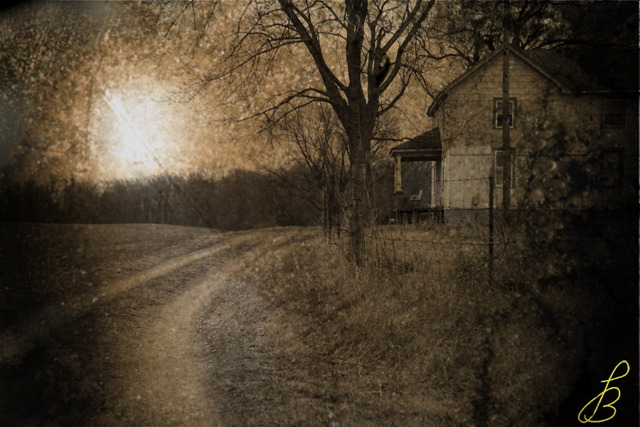
Falling apart; beautiful. (View Large)
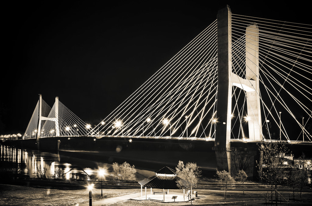
Old Cape Girardeau Bridge

diplotene/diakinesis
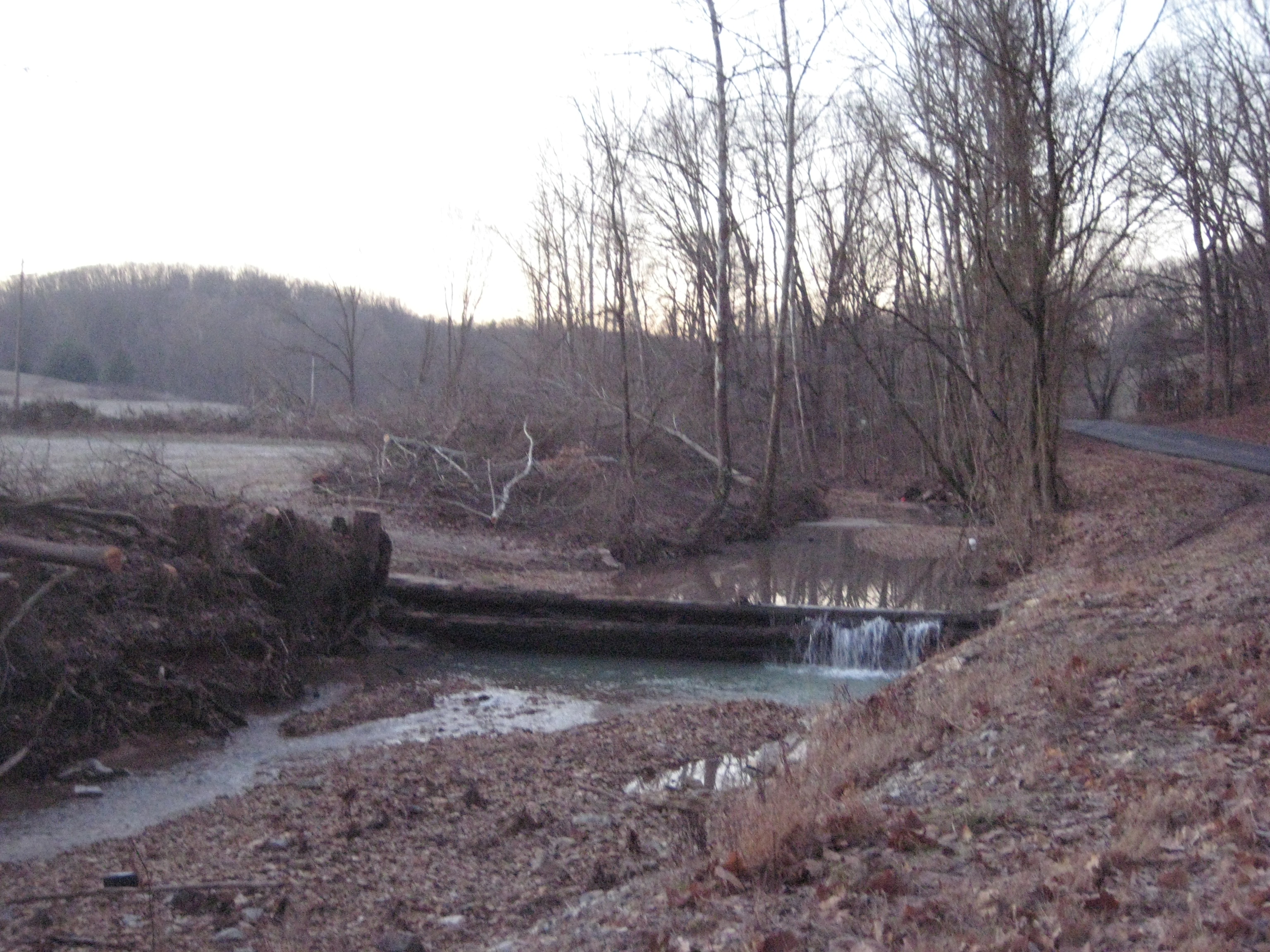
Creek on CR621
Mississippi River View from Old Thebes Courthouse
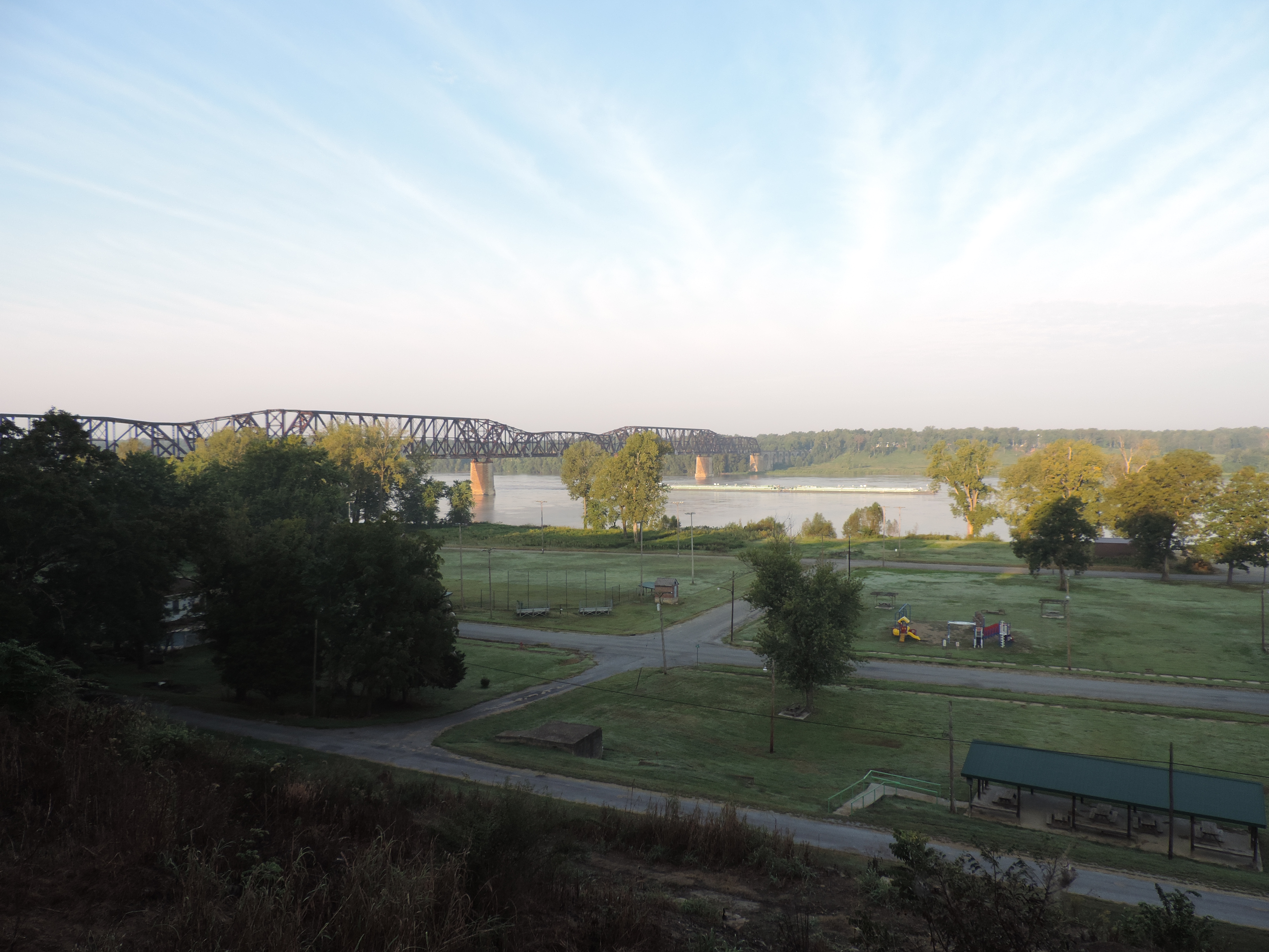
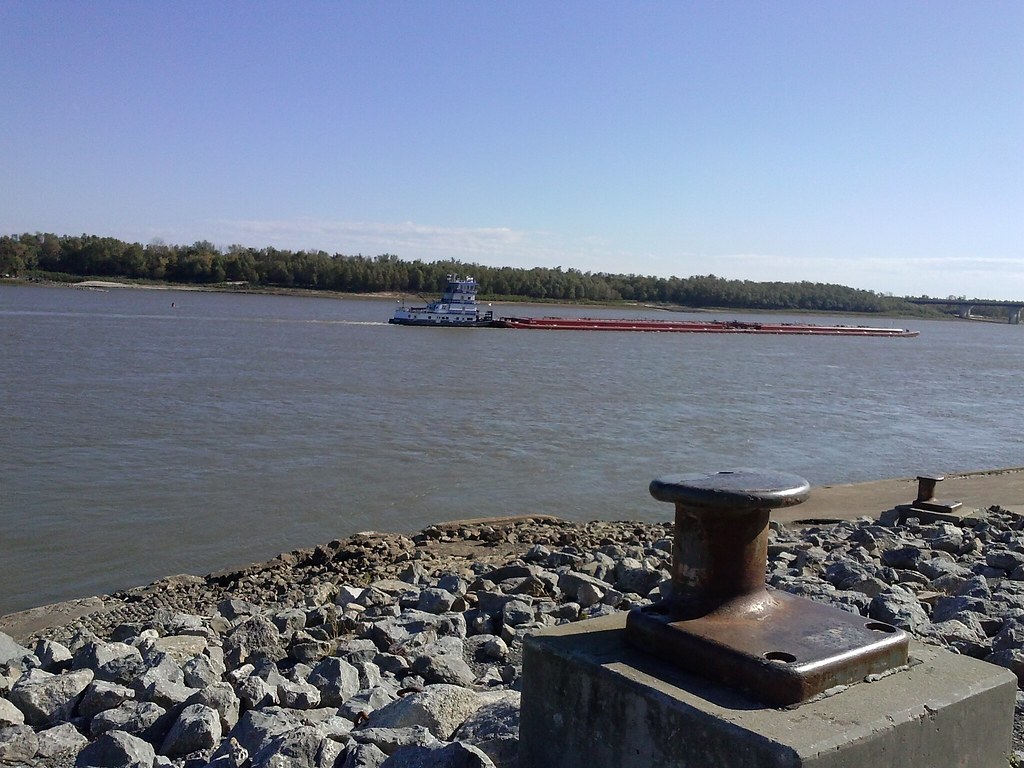
View downriver from the bridge at Cape Girardeau

Walt's Sabbatical Rules

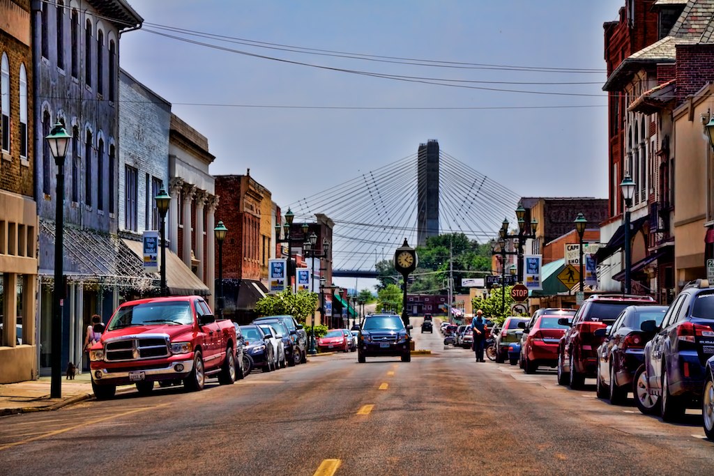
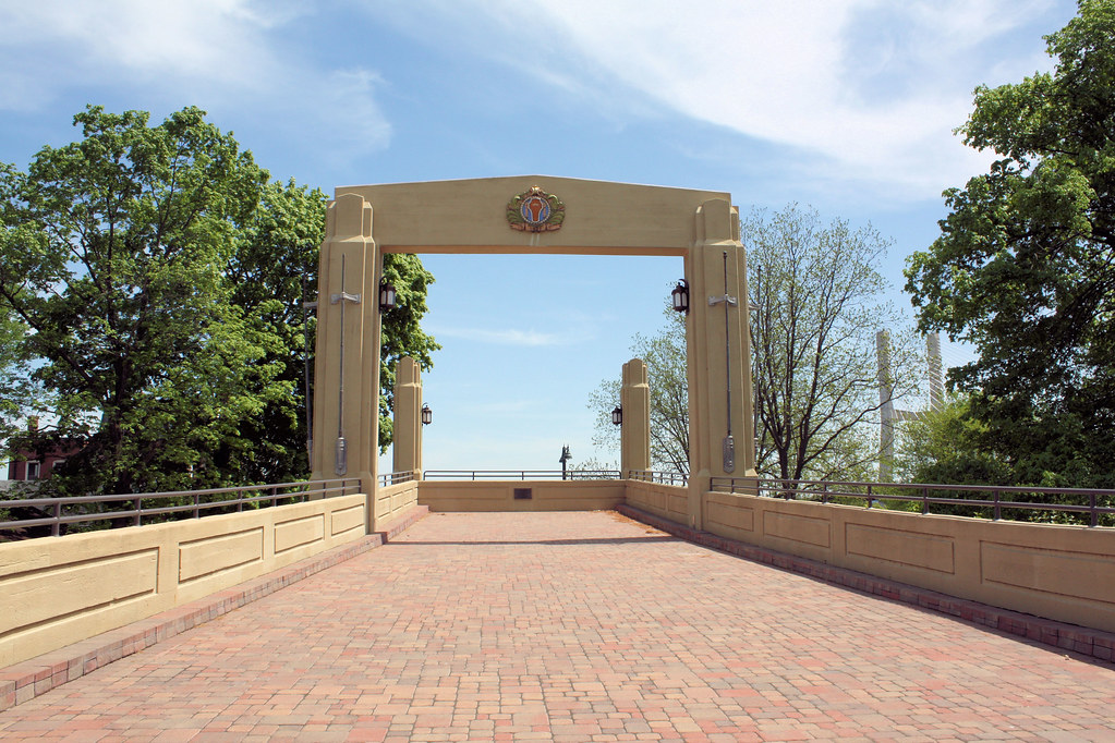
"Capital View of Cape Girardeau"
View From Thebes Courthouse

waiting for dusk

Sun Bathing
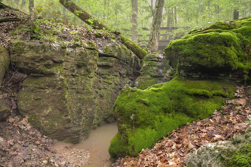
The beauty is in Mosses.

Three Sisters
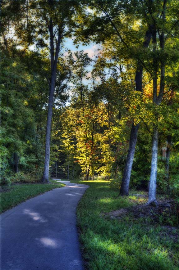
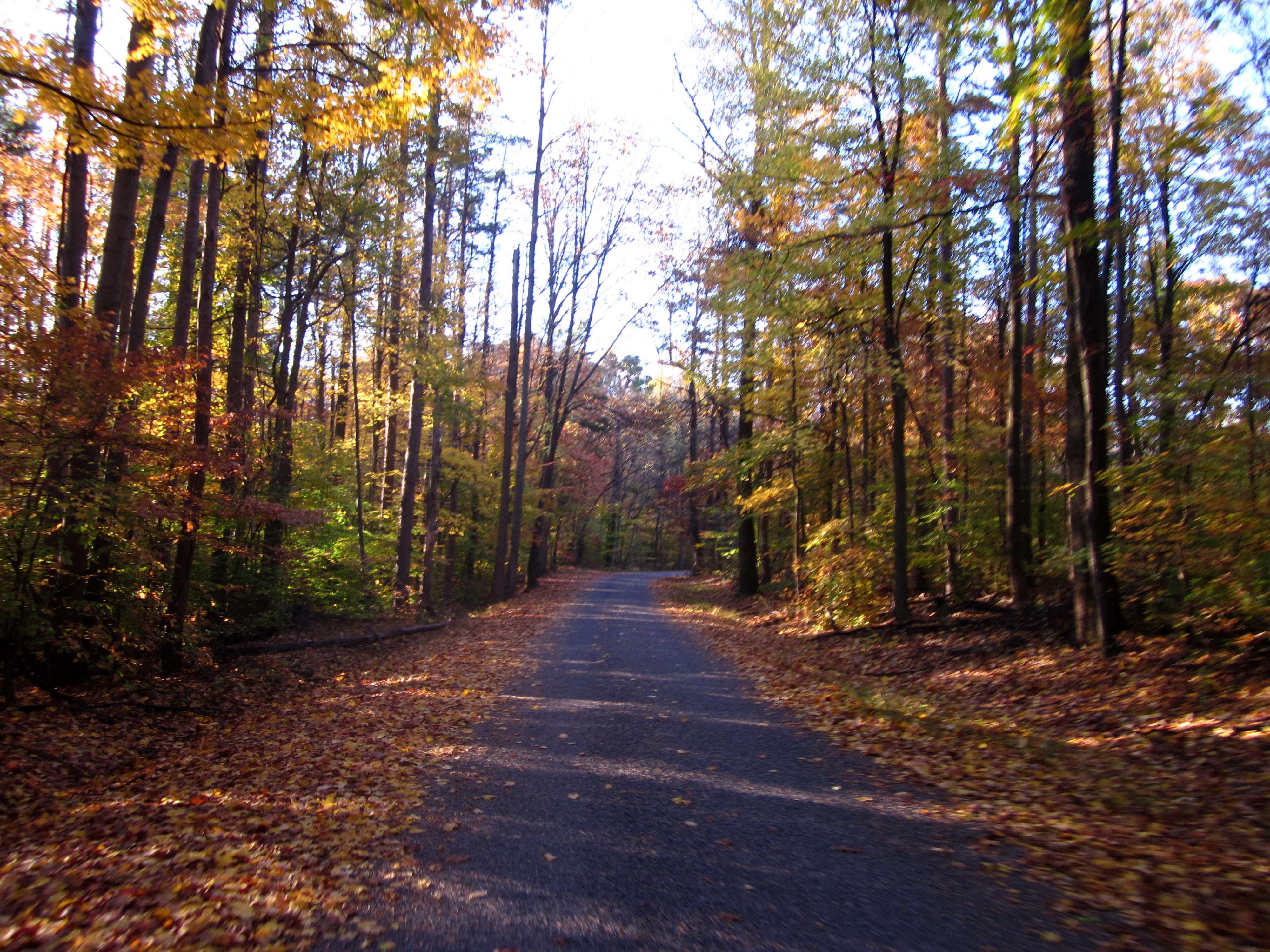
A walk in the Park
Missouri Morning
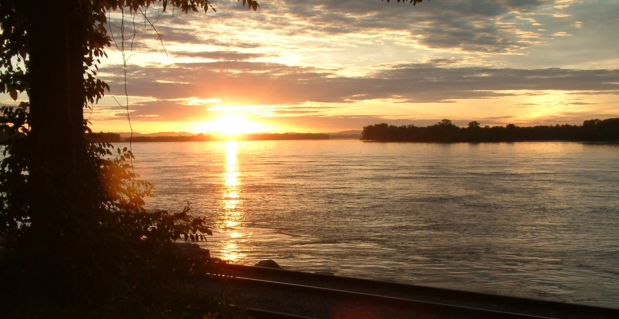
Mississippi River Sunrise 31 June 7, 2010
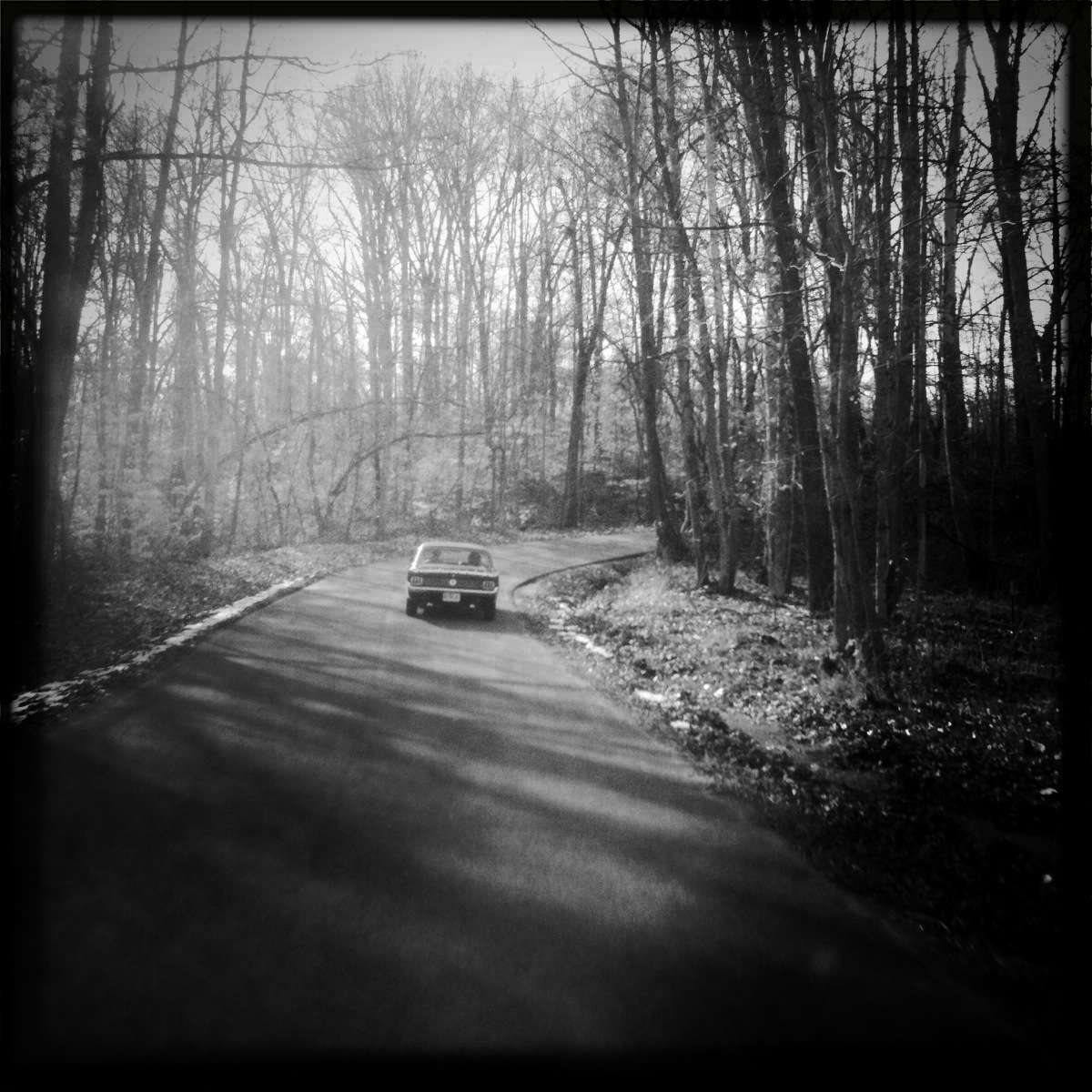
Sunlight, Trees, Hotrod car, and a curvy road

Sun Down 2
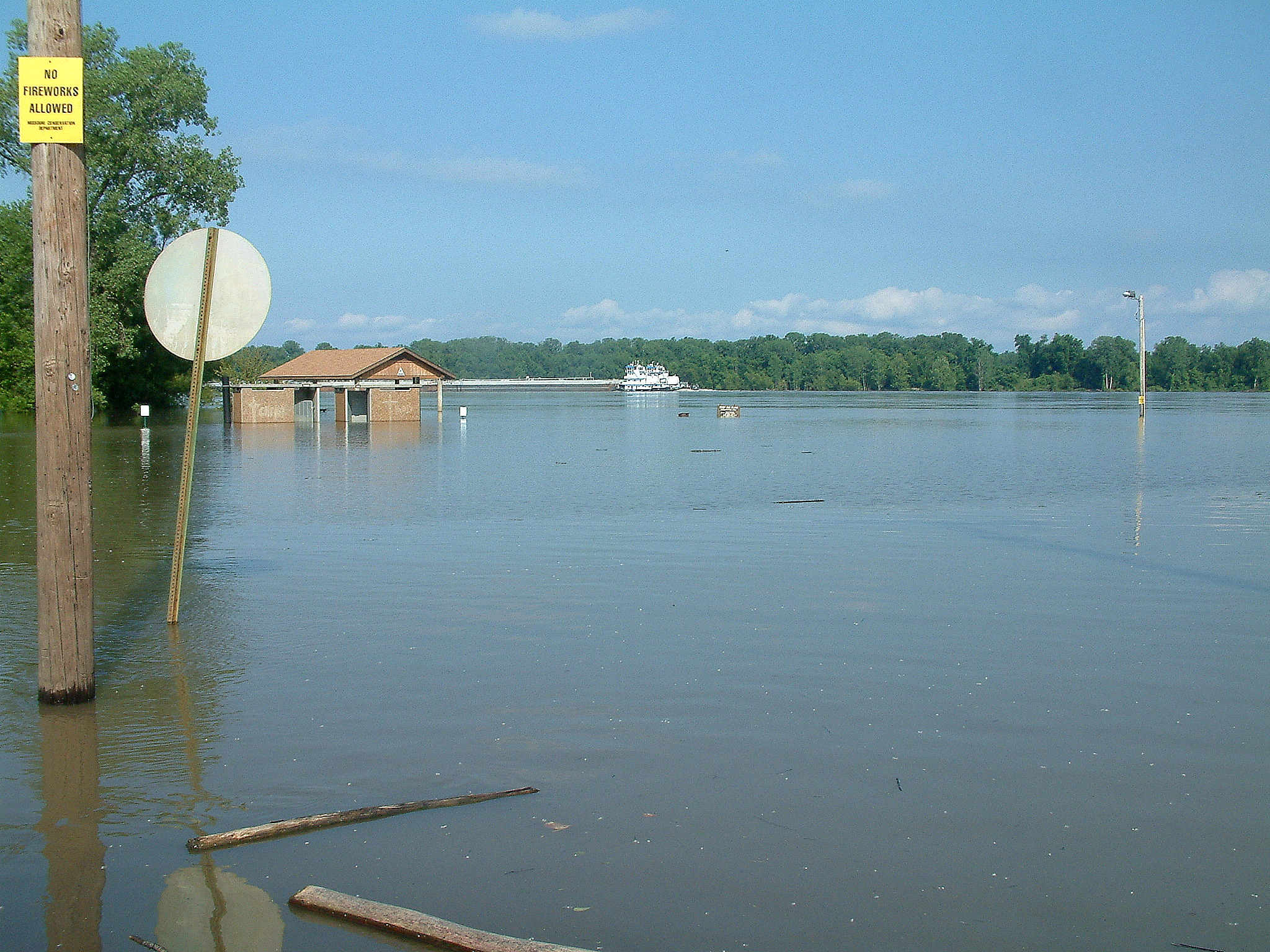
Flooding July 4, 2011 Red Star Access 1
The Mighty Mississippi
Come slowly, Eden!

RoadTrip 201206070034
Capaha Park Pond
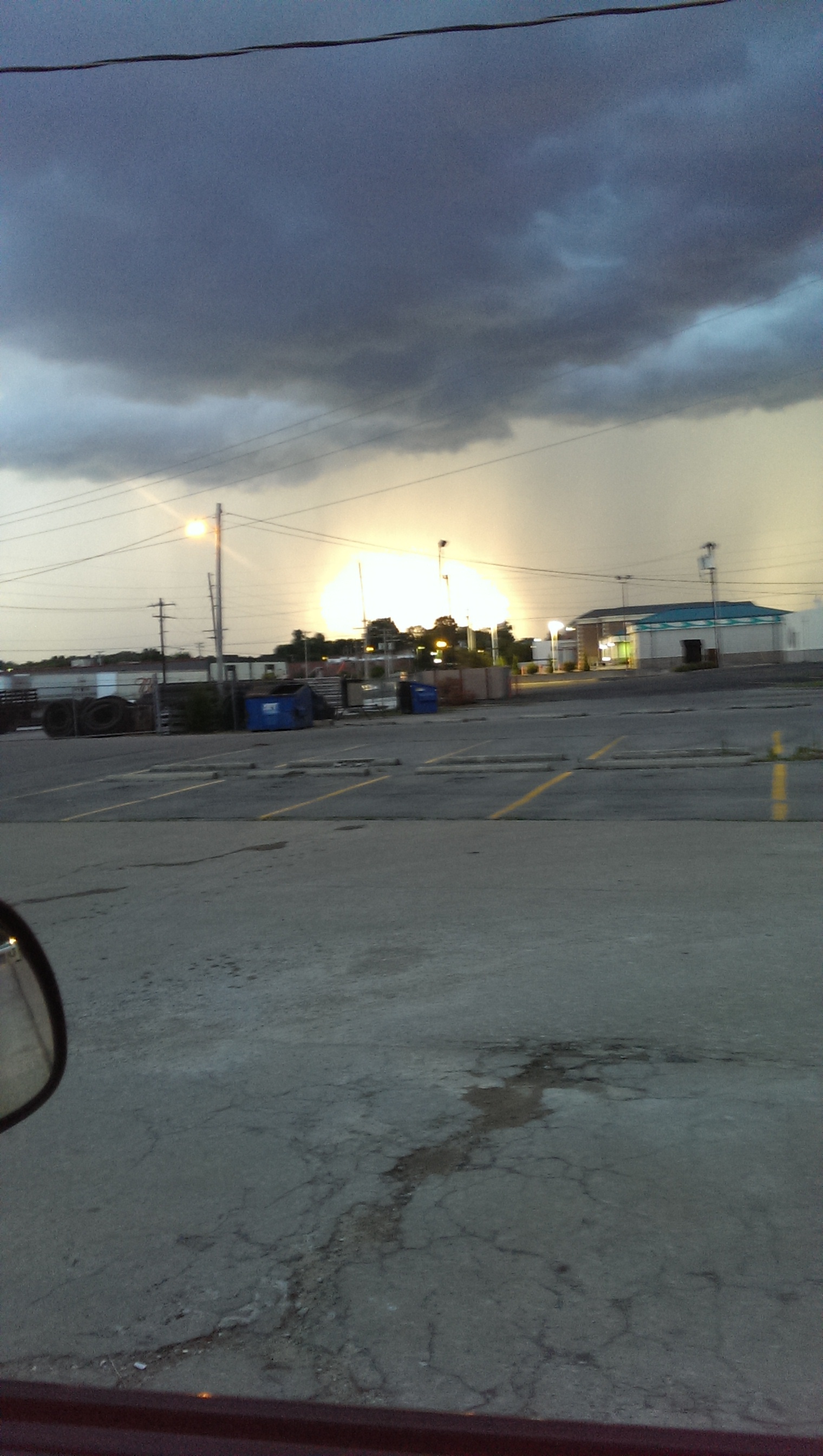
Storm Rolling In.
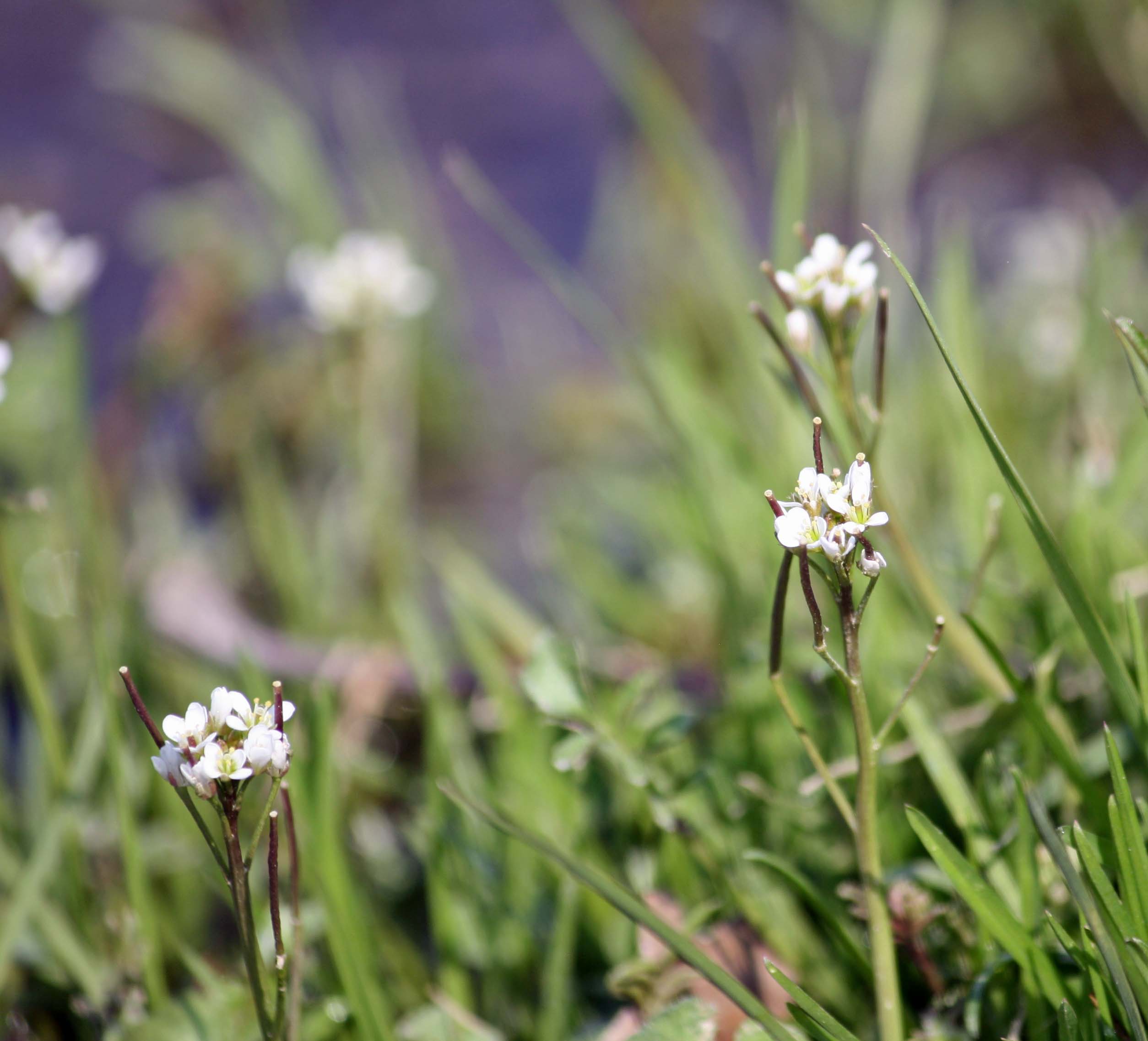
Whitlow Grass
'Crossing Into The Night' ~ Cape Girardeau, MO
Tour de Shawnee
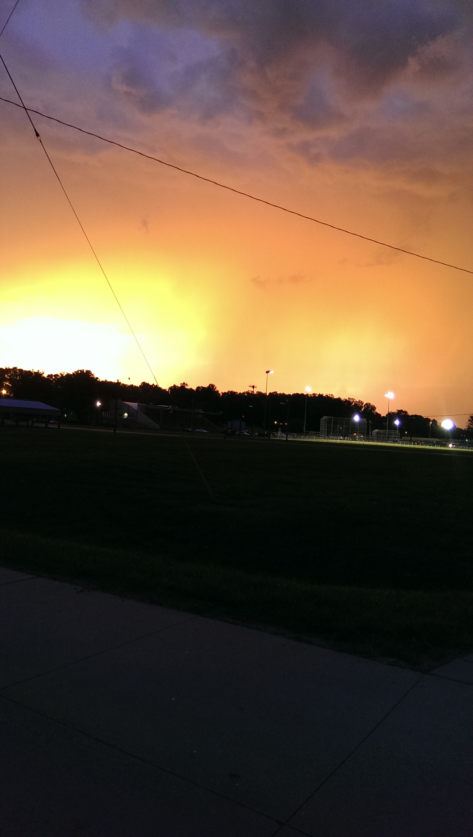
Storm Rolling In.
CAM01197.jpg
Topographic Map of East Cape Girardeau, IL, USA
Find elevation by address:

Places in East Cape Girardeau, IL, USA:
Places near East Cape Girardeau, IL, USA:
Virginia Dr, McClure, IL, USA
36 Main St
Cape Girardeau
331 Main St
134 S Lorimier St
Cape Girardeau, MO, USA
400 Broadway St
Fort Hope Apartments
900 Normal Ave
Southeast Missouri State University
1515 N Sprigg St
630 N Sunset Blvd
630 N Sunset Blvd
Luce Street
Cape Central Junior High School
1607 Bertling St
815 Rodney Vista Blvd
Mcclure
Mcclure Precinct
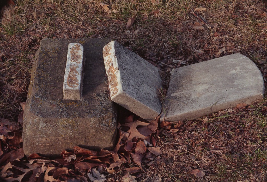
Old Hanover Cemetery
Recent Searches:
- Elevation of Corso Fratelli Cairoli, 35, Macerata MC, Italy
- Elevation of Tallevast Rd, Sarasota, FL, USA
- Elevation of 4th St E, Sonoma, CA, USA
- Elevation of Black Hollow Rd, Pennsdale, PA, USA
- Elevation of Oakland Ave, Williamsport, PA, USA
- Elevation of Pedrógão Grande, Portugal
- Elevation of Klee Dr, Martinsburg, WV, USA
- Elevation of Via Roma, Pieranica CR, Italy
- Elevation of Tavkvetili Mountain, Georgia
- Elevation of Hartfords Bluff Cir, Mt Pleasant, SC, USA