Elevation of Eagles Nest, CO, USA
Location: United States > Colorado > Eagle County >
Longitude: -106.38614
Latitude: 39.6183193
Elevation: 3127m / 10259feet
Barometric Pressure: 69KPa
Elevation Map:
Satellite Map:
Related Photos:

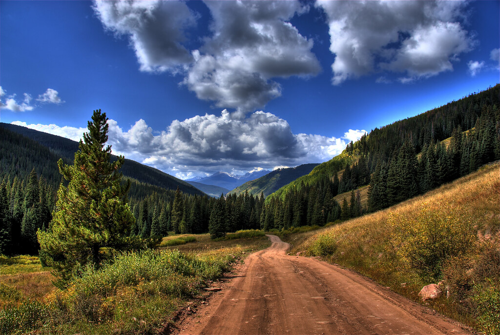
Vail view
Shrine Pass, Colorado

A Golf Course Setting with Mountains All Around
Let Freedom Ring
Escape from the Masses
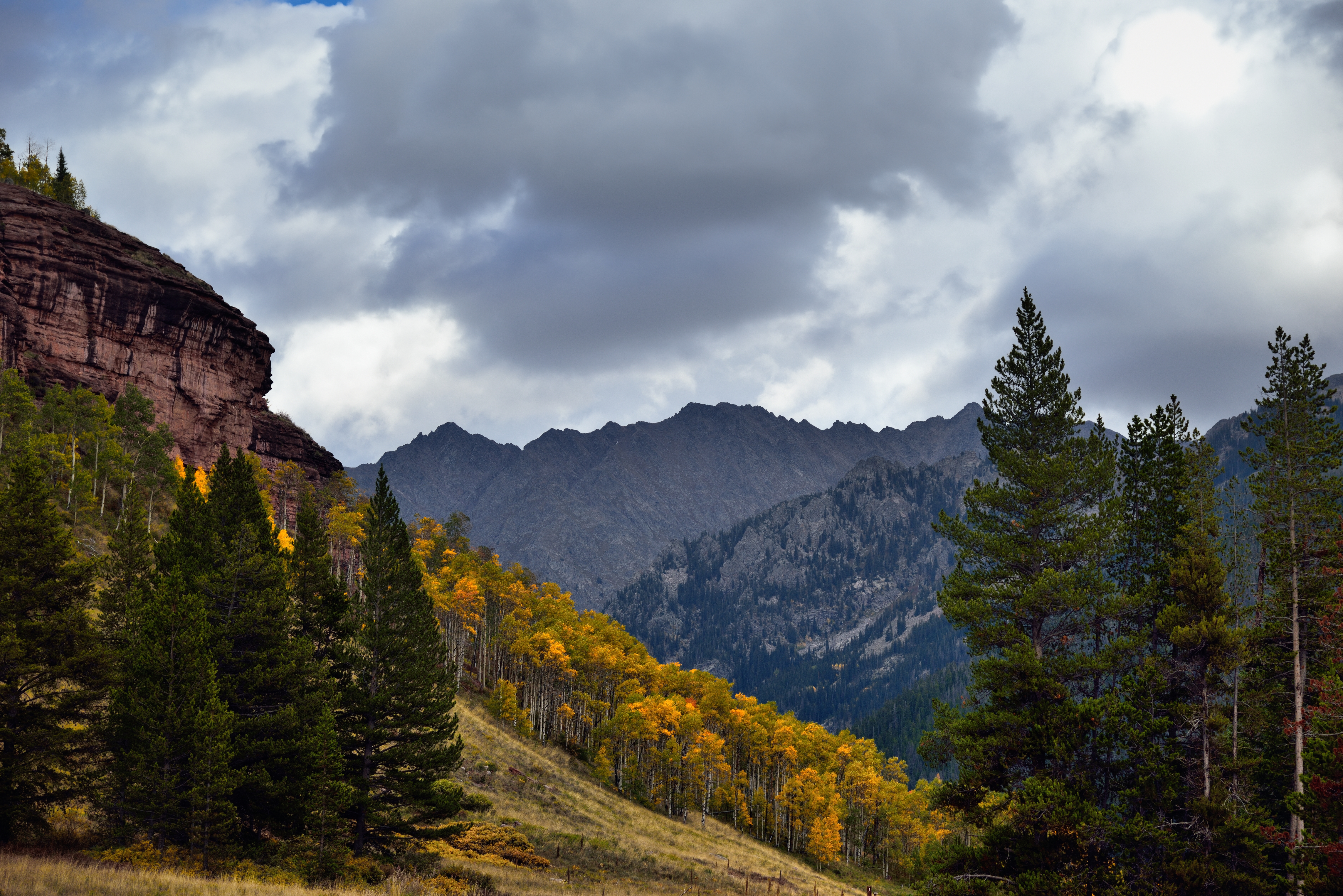
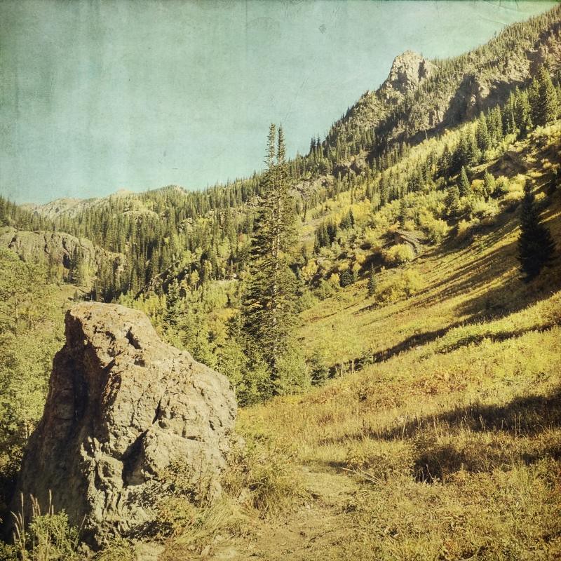
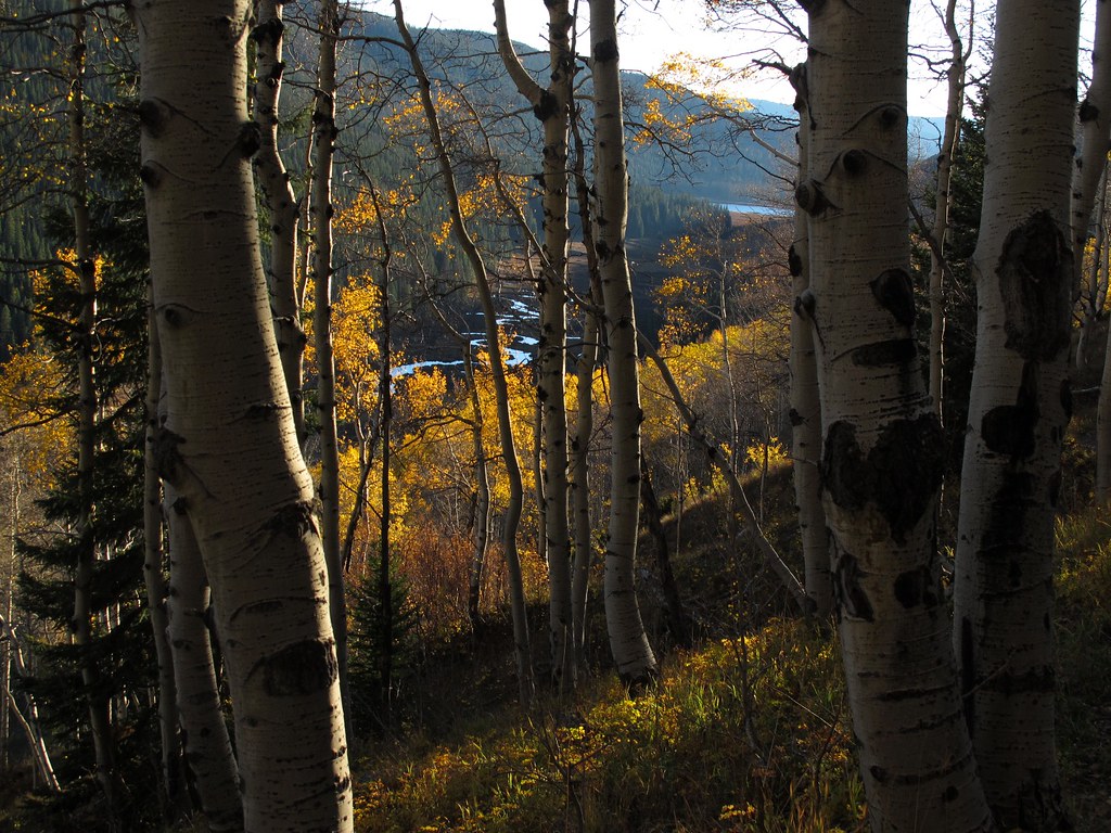
Trees and a View to Mountains Beyond (Colorado Autumn)

Streaming in Color
valley gold

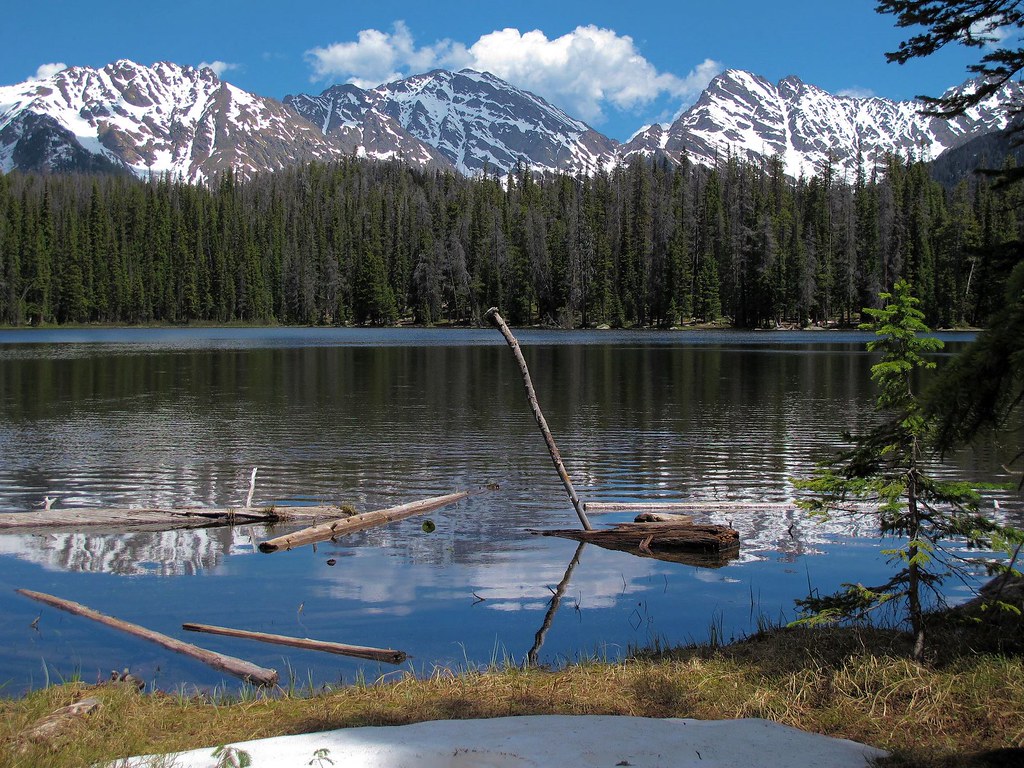
Lost Lake

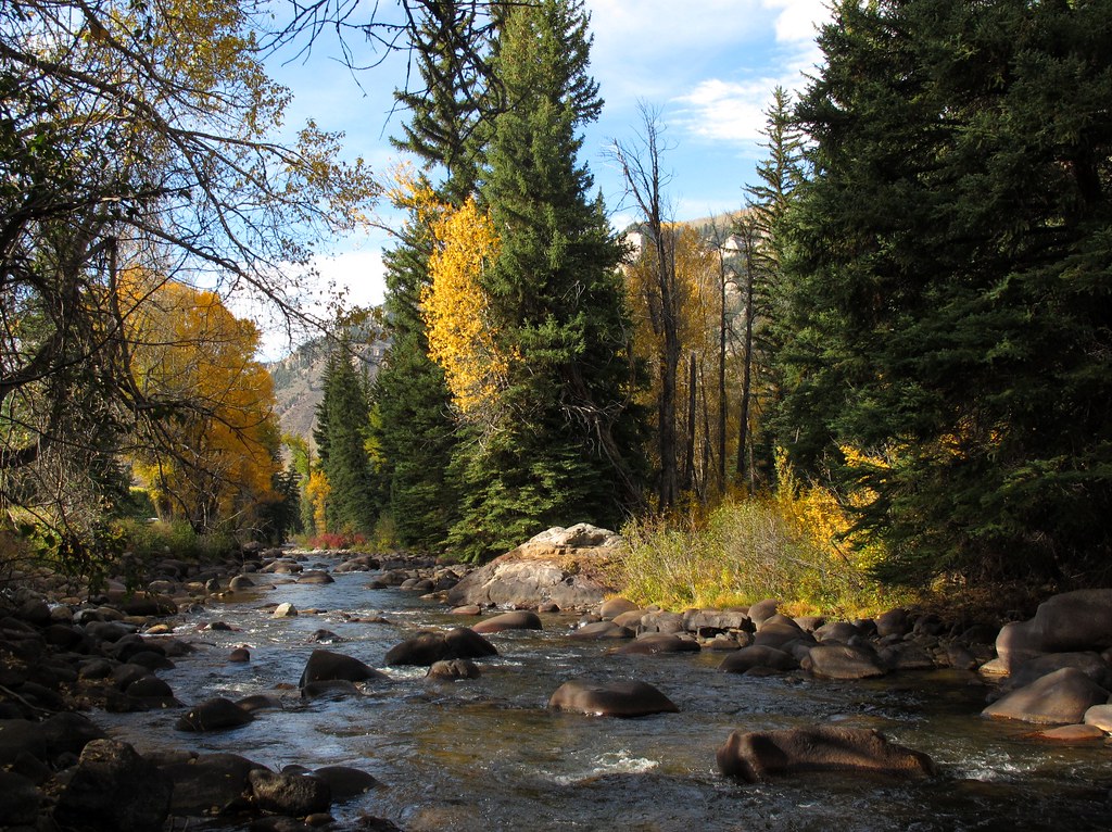
Streaming Through Autumn
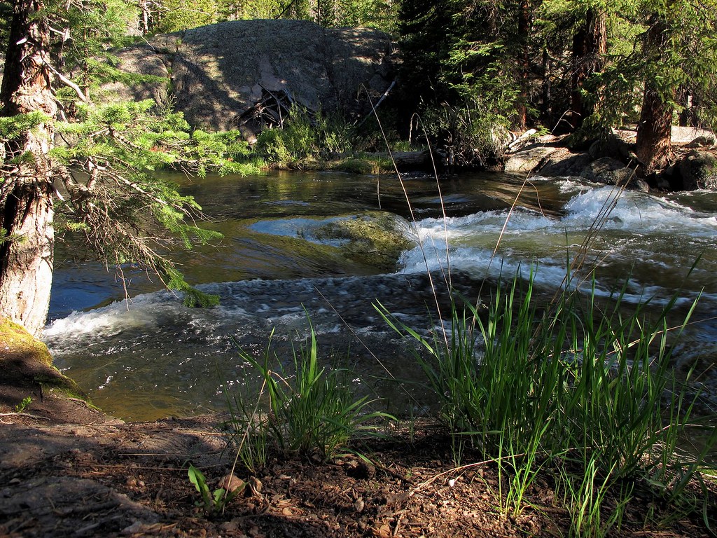
Life Is But A Stream

I Found It
Colorado Creekside
Sky High
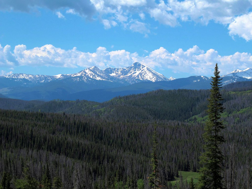
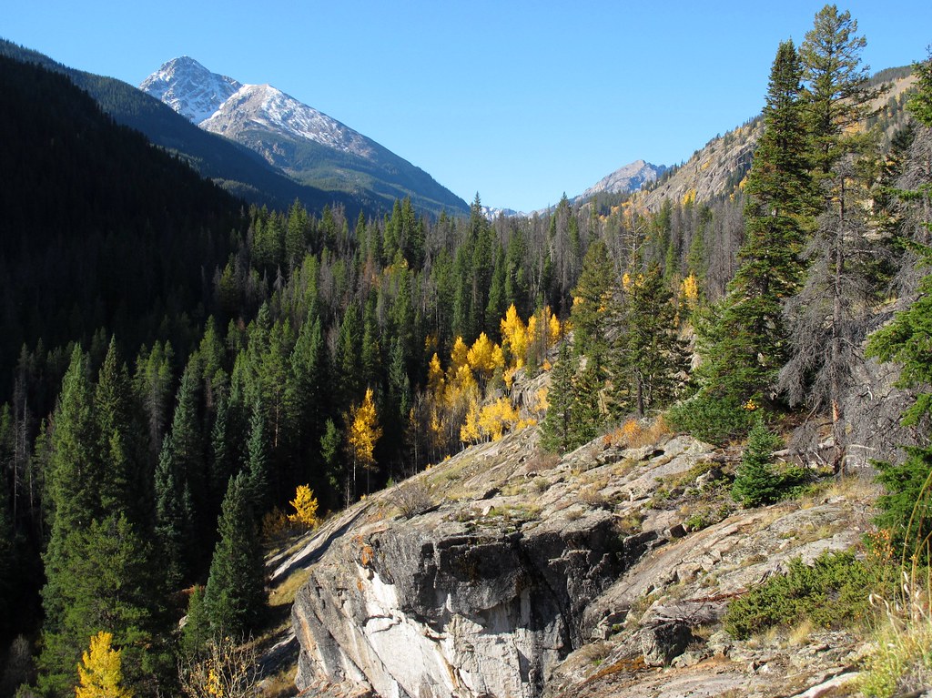
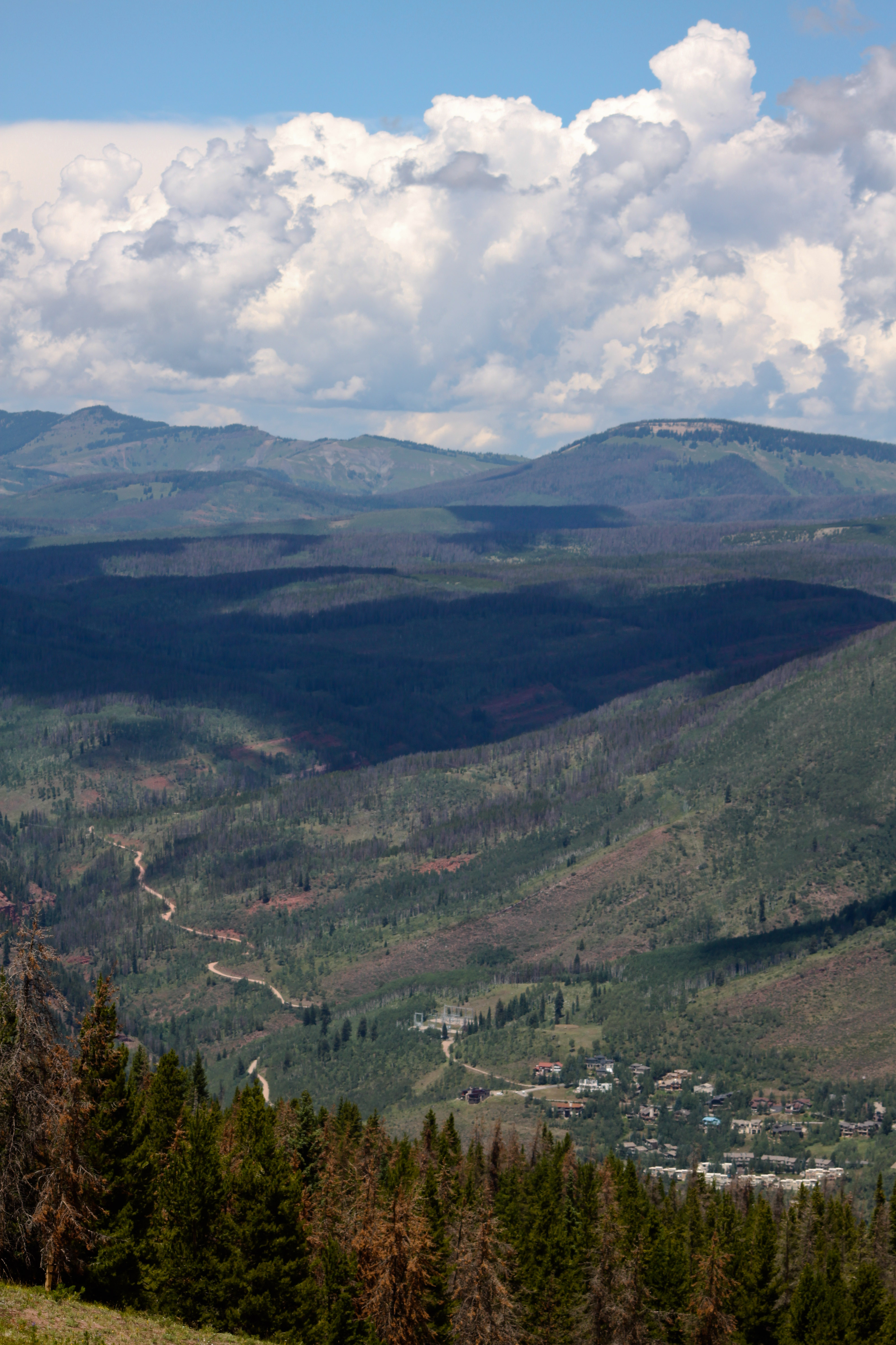
Valley View

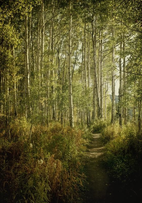
Mountain Trails

the base of spires
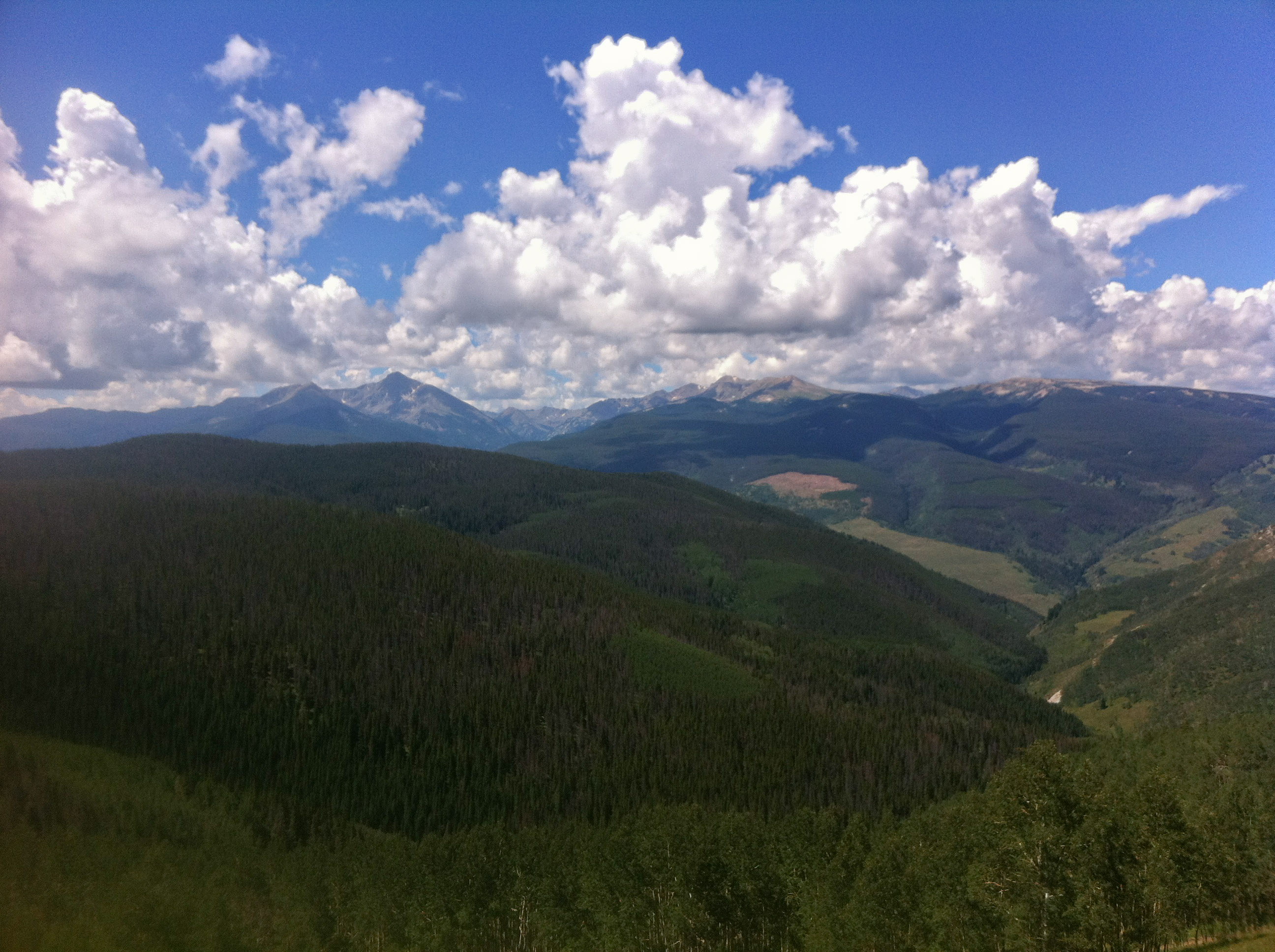
Vail valley

Sawatch Range
Vail view
quite silence
Topographic Map of Eagles Nest, CO, USA
Find elevation by address:

Places near Eagles Nest, CO, USA:
Lionshead Place
Vail
20 Vail Rd
The Ritz Carlton Club, Vail
Vail Marriott Mountain Resort
675 Lionshead Pl
675 W Lionshead Cir
1000 Lions Ridge Loop
Northwoods Condominium Association
Alta Circle
Gerald R Ford Amphitheater
West Vail
2014 W Gore Creek Dr
Placid Dr, Vail, CO, USA
805 Potato Patch Dr
809 Potato Patch Dr
Vail Ski Resort
2284 S Frontage Rd W
2284 S Frontage Rd W
2211 N Frontage Rd W
Recent Searches:
- Elevation of Corso Fratelli Cairoli, 35, Macerata MC, Italy
- Elevation of Tallevast Rd, Sarasota, FL, USA
- Elevation of 4th St E, Sonoma, CA, USA
- Elevation of Black Hollow Rd, Pennsdale, PA, USA
- Elevation of Oakland Ave, Williamsport, PA, USA
- Elevation of Pedrógão Grande, Portugal
- Elevation of Klee Dr, Martinsburg, WV, USA
- Elevation of Via Roma, Pieranica CR, Italy
- Elevation of Tavkvetili Mountain, Georgia
- Elevation of Hartfords Bluff Cir, Mt Pleasant, SC, USA