Elevation of E Venado Trail, Scottsdale, AZ, USA
Location: United States > Arizona > Maricopa County > Scottsdale > Desert Mountain, Phase Ii >
Longitude: -111.8623082
Latitude: 33.8513909
Elevation: 906m / 2972feet
Barometric Pressure: 0KPa
Related Photos:
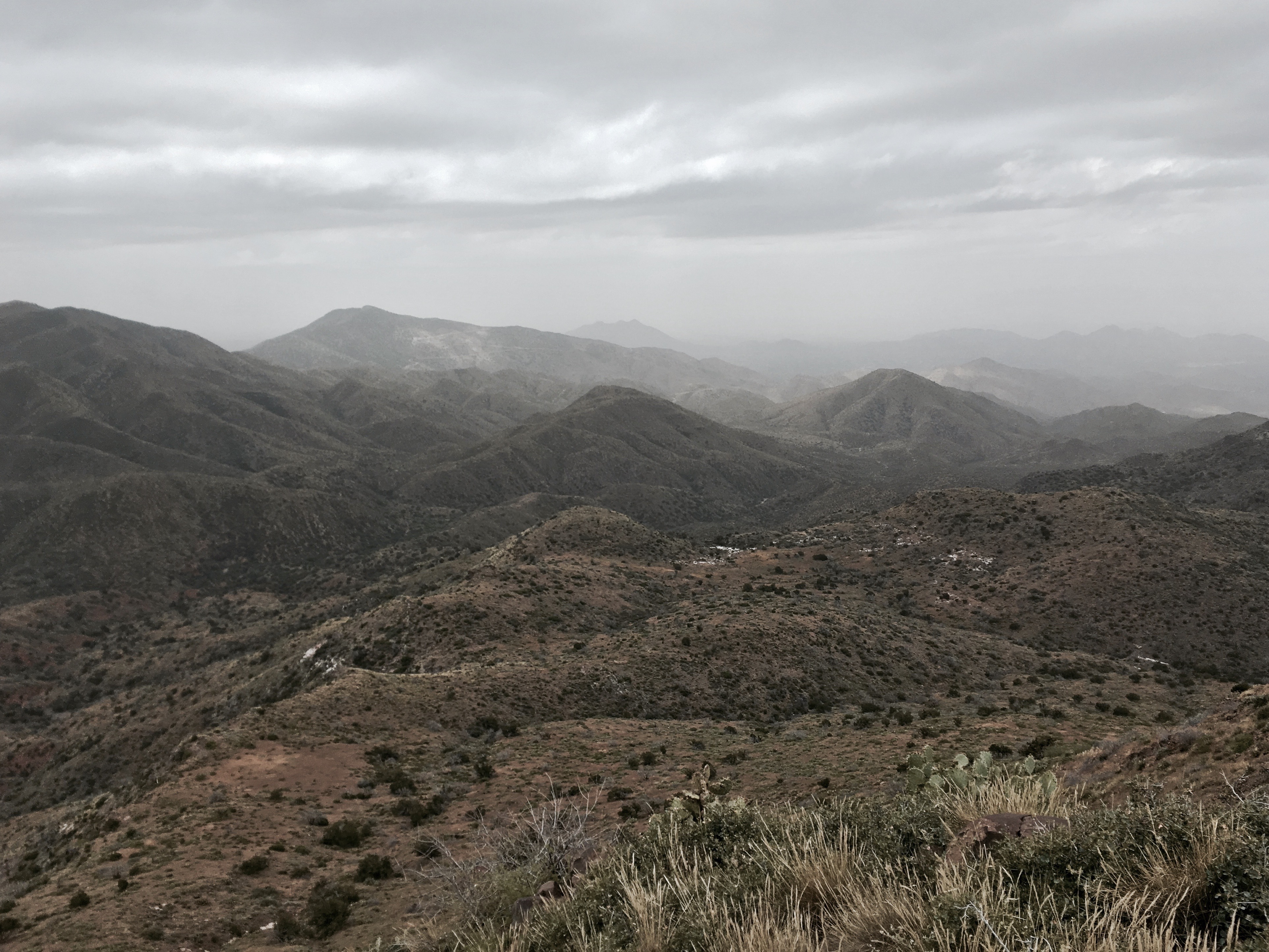
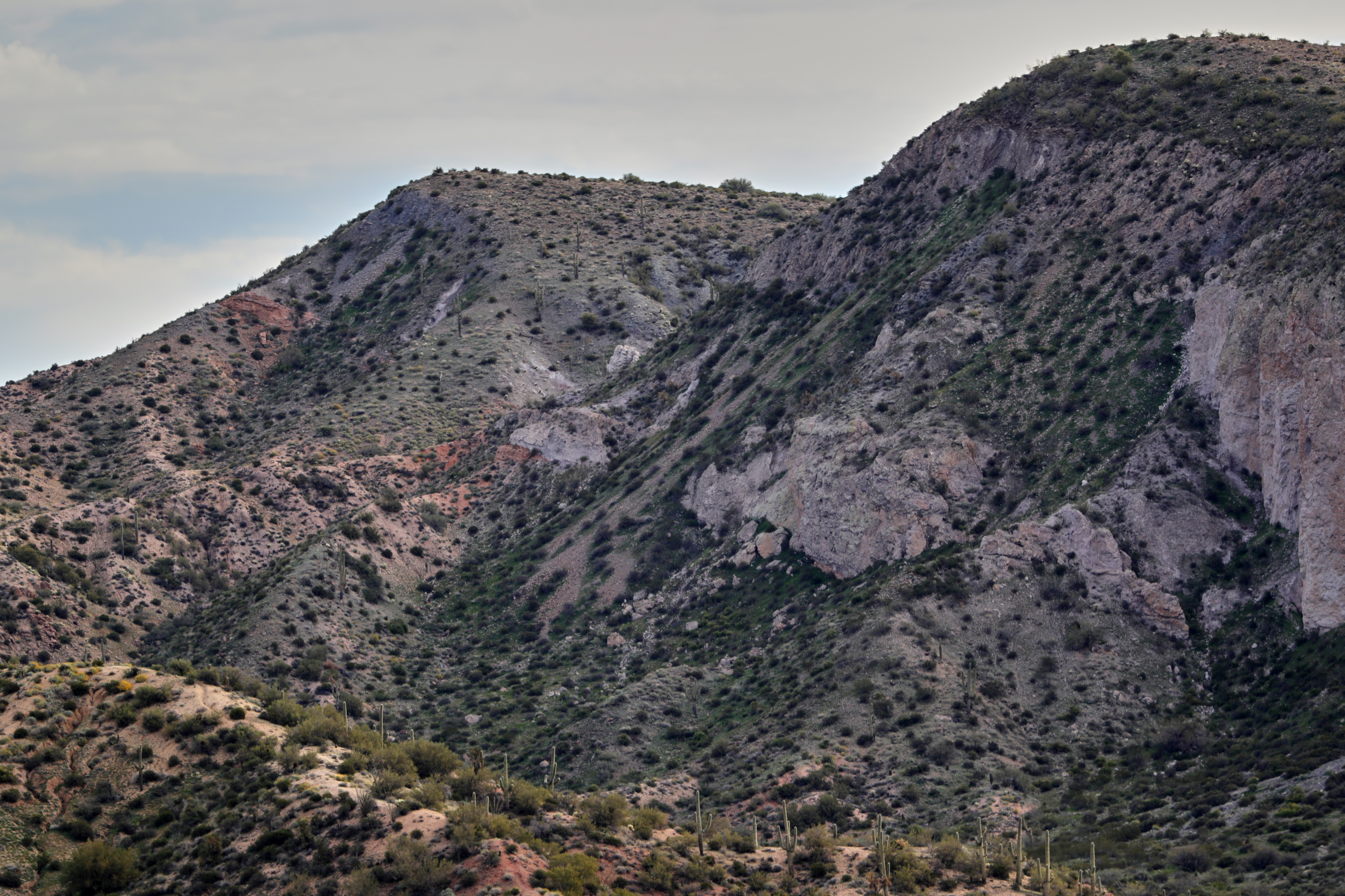
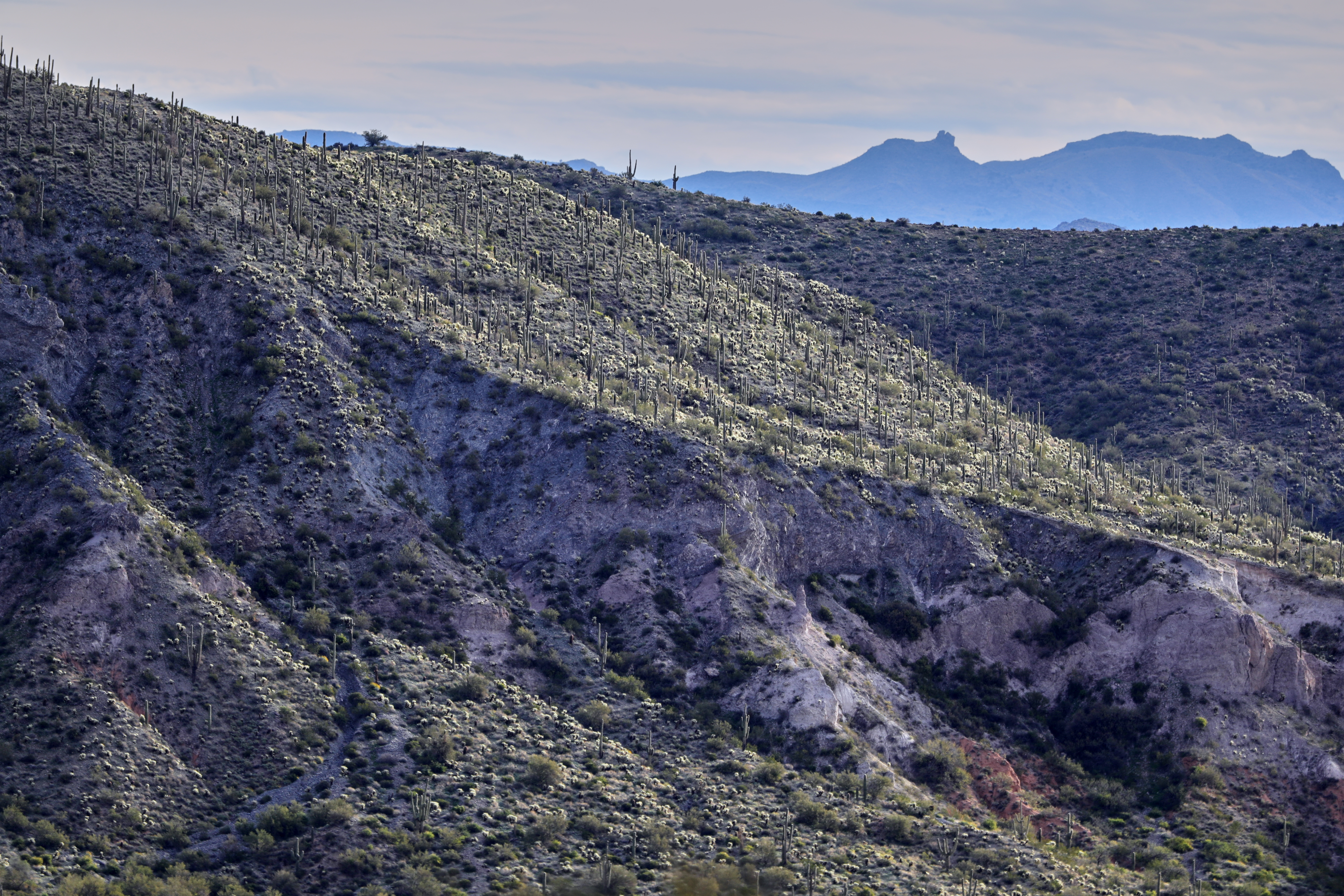
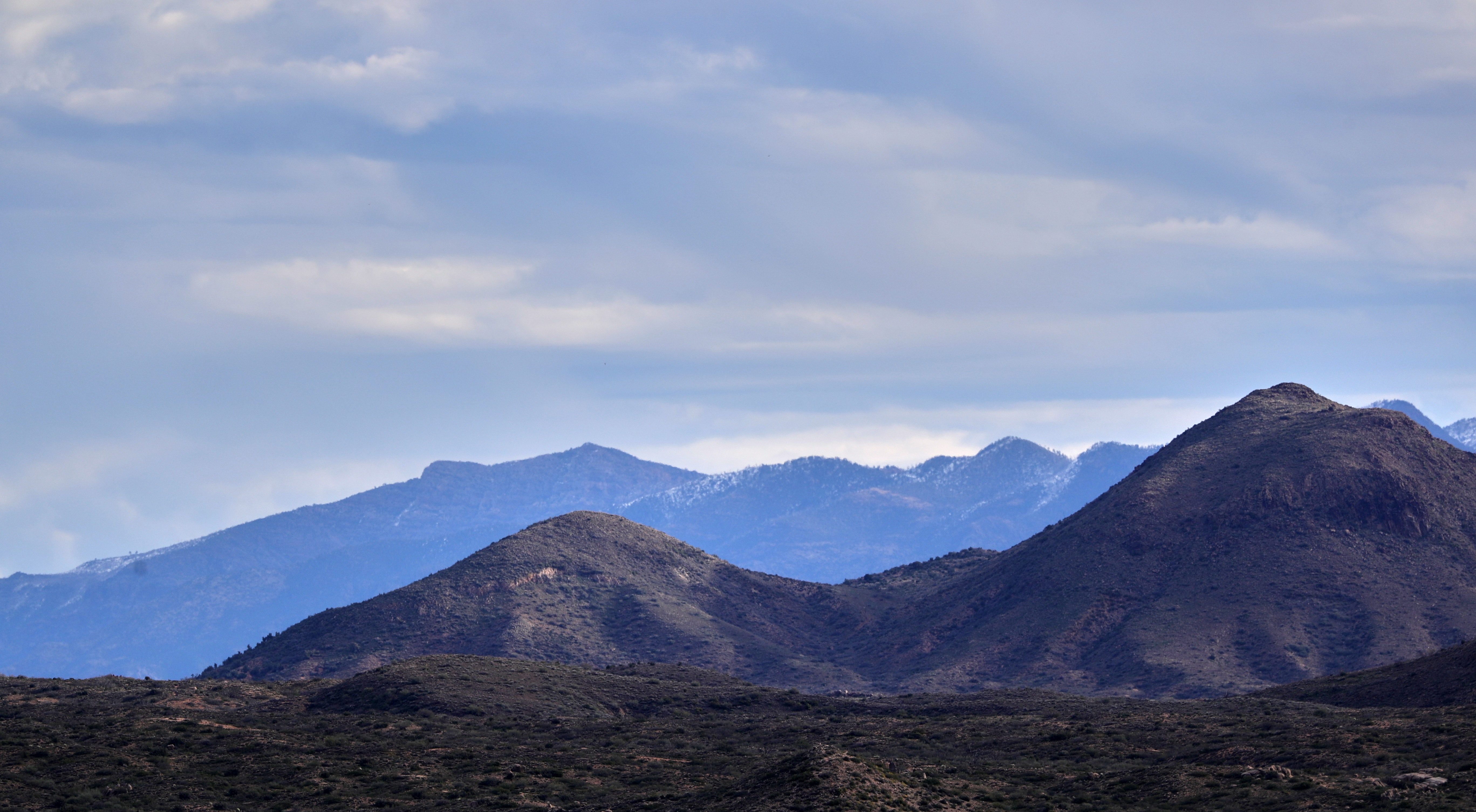
371. View from atop Quien Sabe summit centered on Black Mountain in the distance

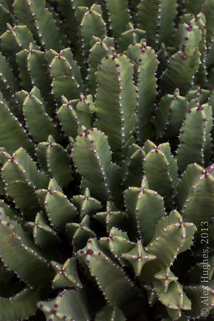
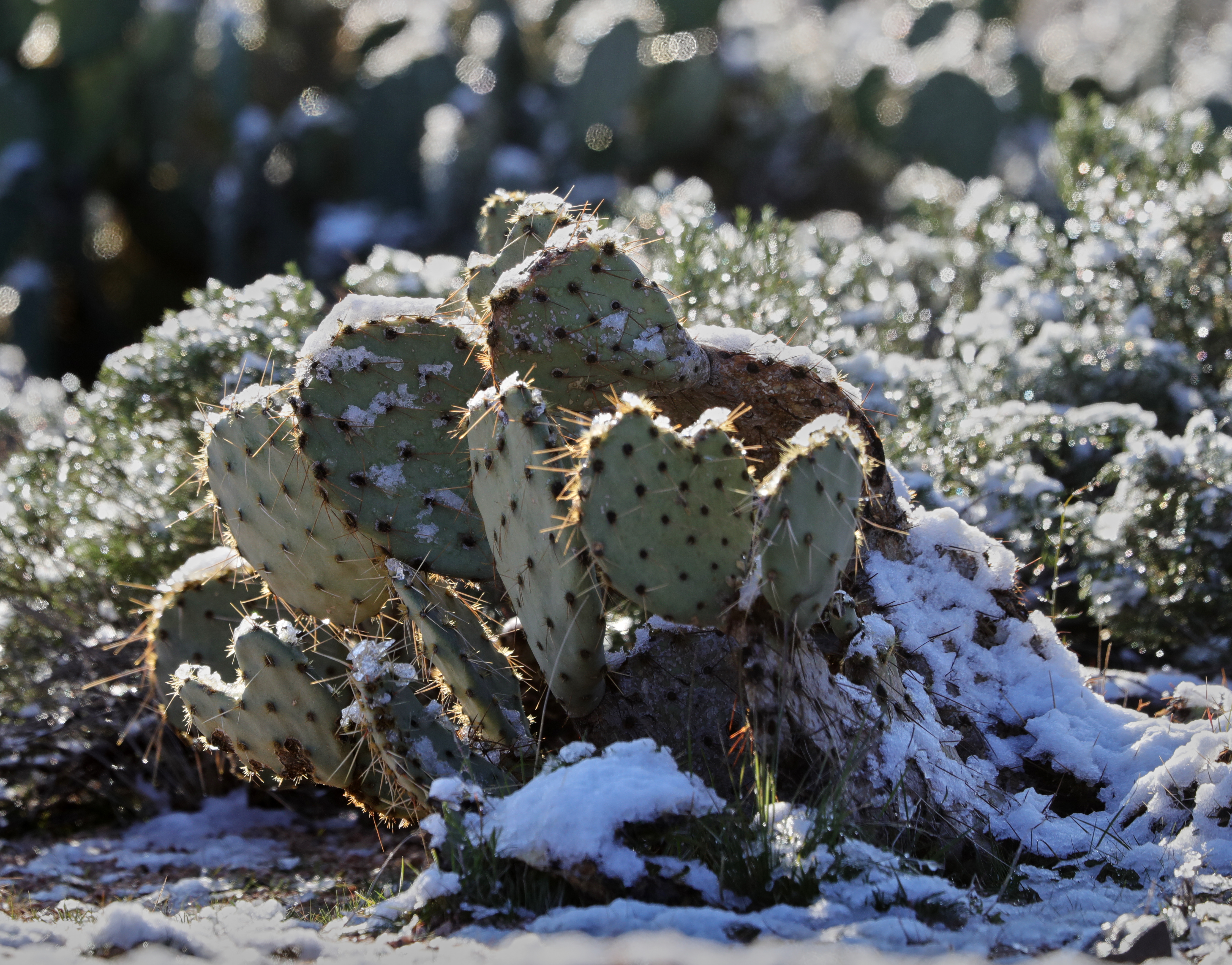
Pink Snow Cactus
Another beautiful view from #pinnaclepeak hike this morning
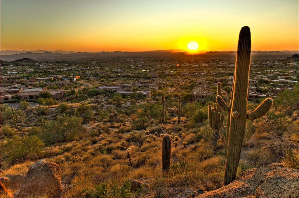
Cactus Sunset

Zebra-tailed Lizard
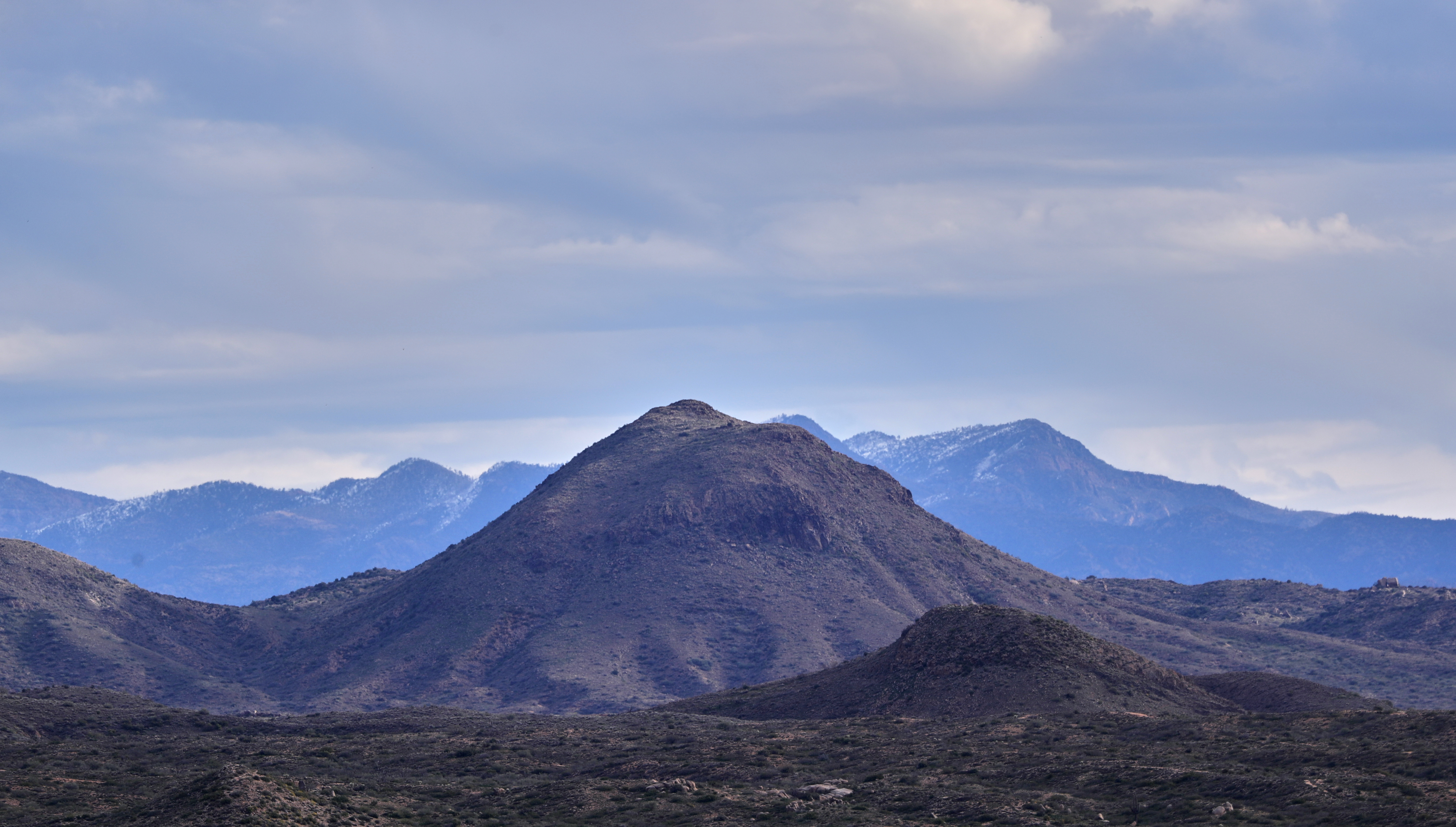
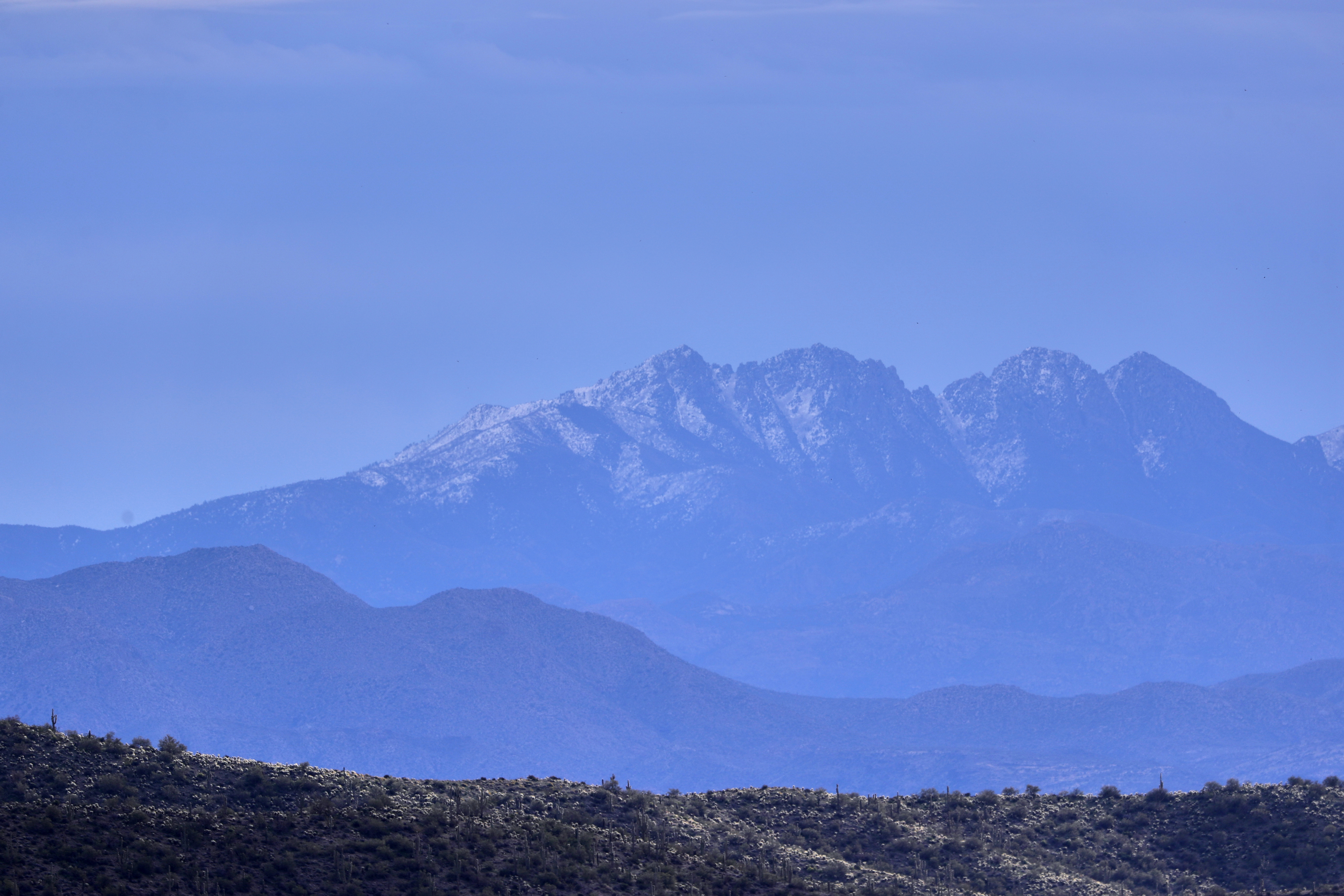
32. View along Bartlett Dam Road toward St. Clair Peak on a crisp New Year's Day

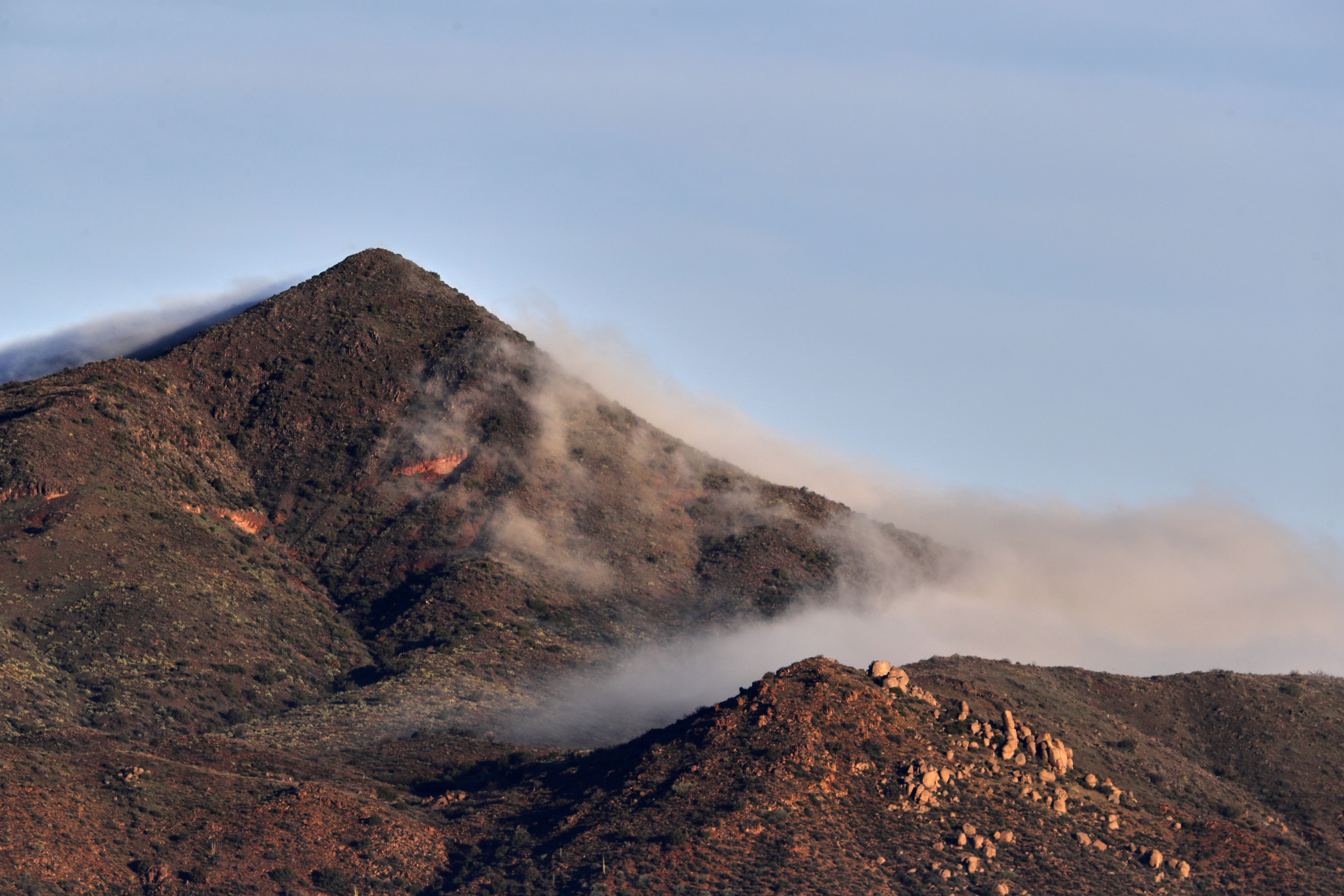
The evening view from Black Mountain.
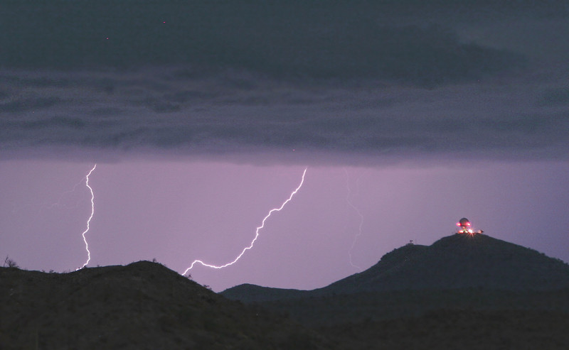
Seven Springs Lightning Strikes

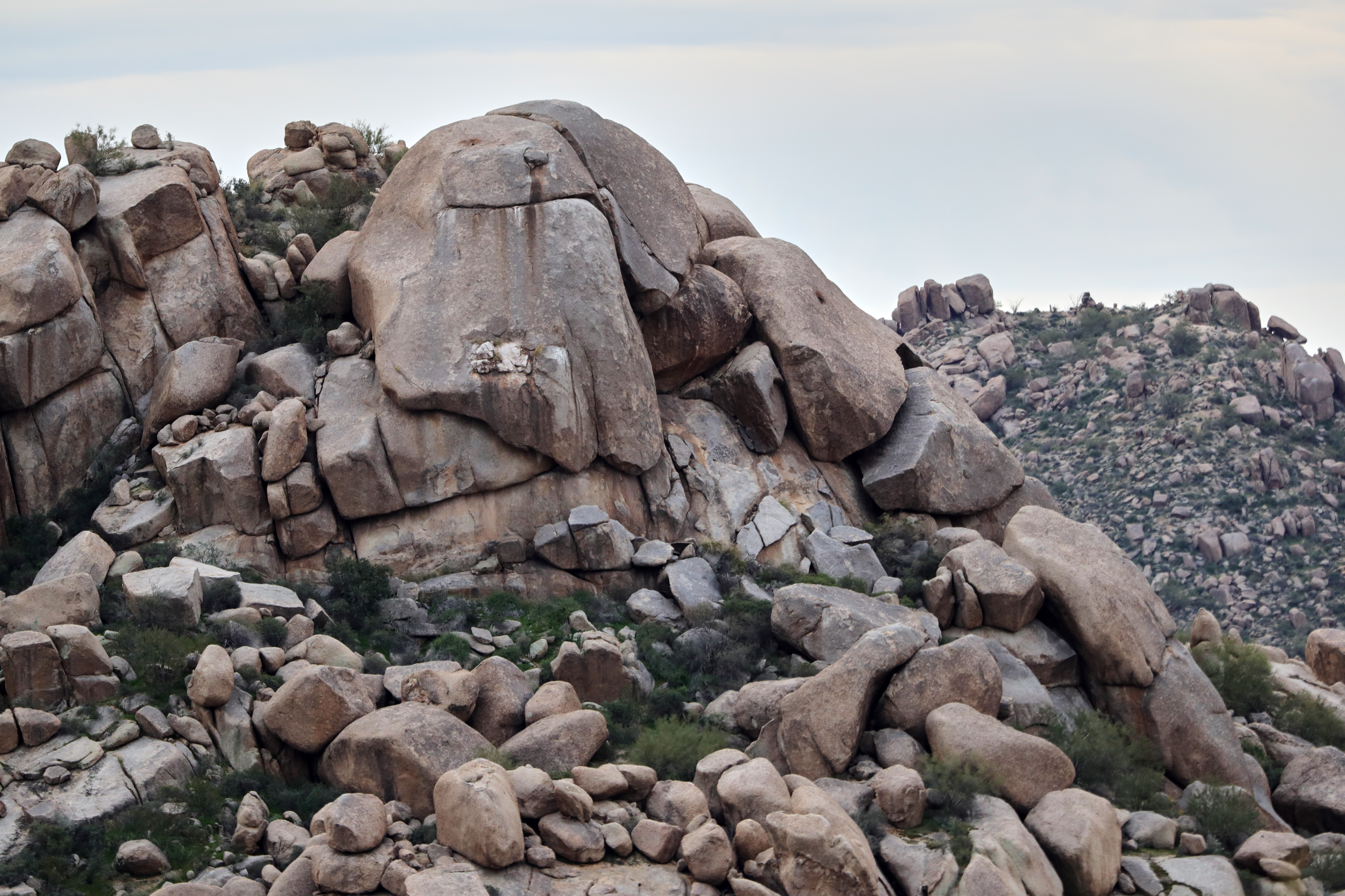
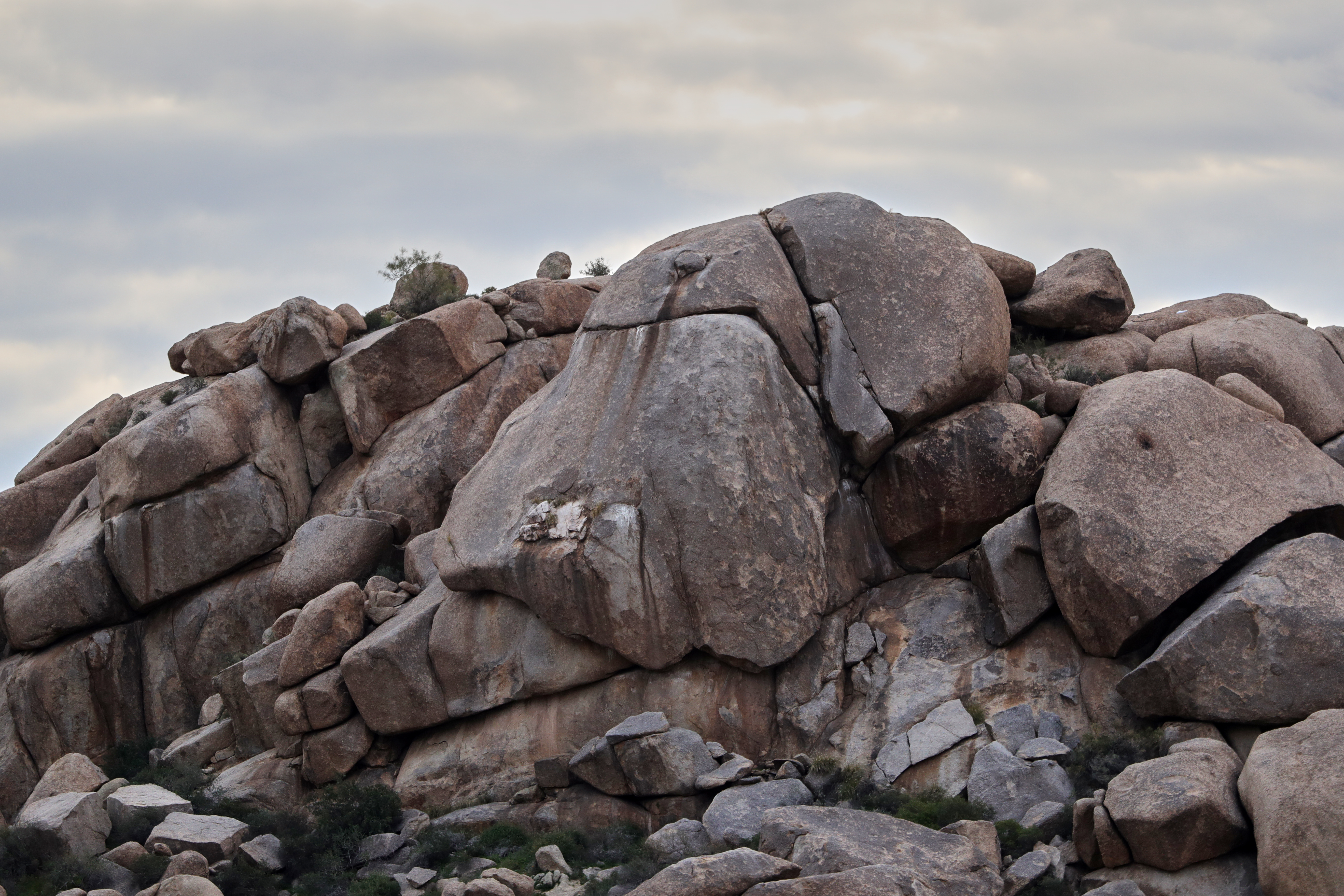
Land of the Giants

Cool Retro Diner Arrow Sign: Big Earl's Greasy Eats, Cave Creek, Close-up, West View

470. Panoramic view from hilltop west of old stone ruin along FR 468

"Saguaro You Here?"--pun by Paul Ewing and Tim Lefler

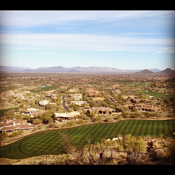
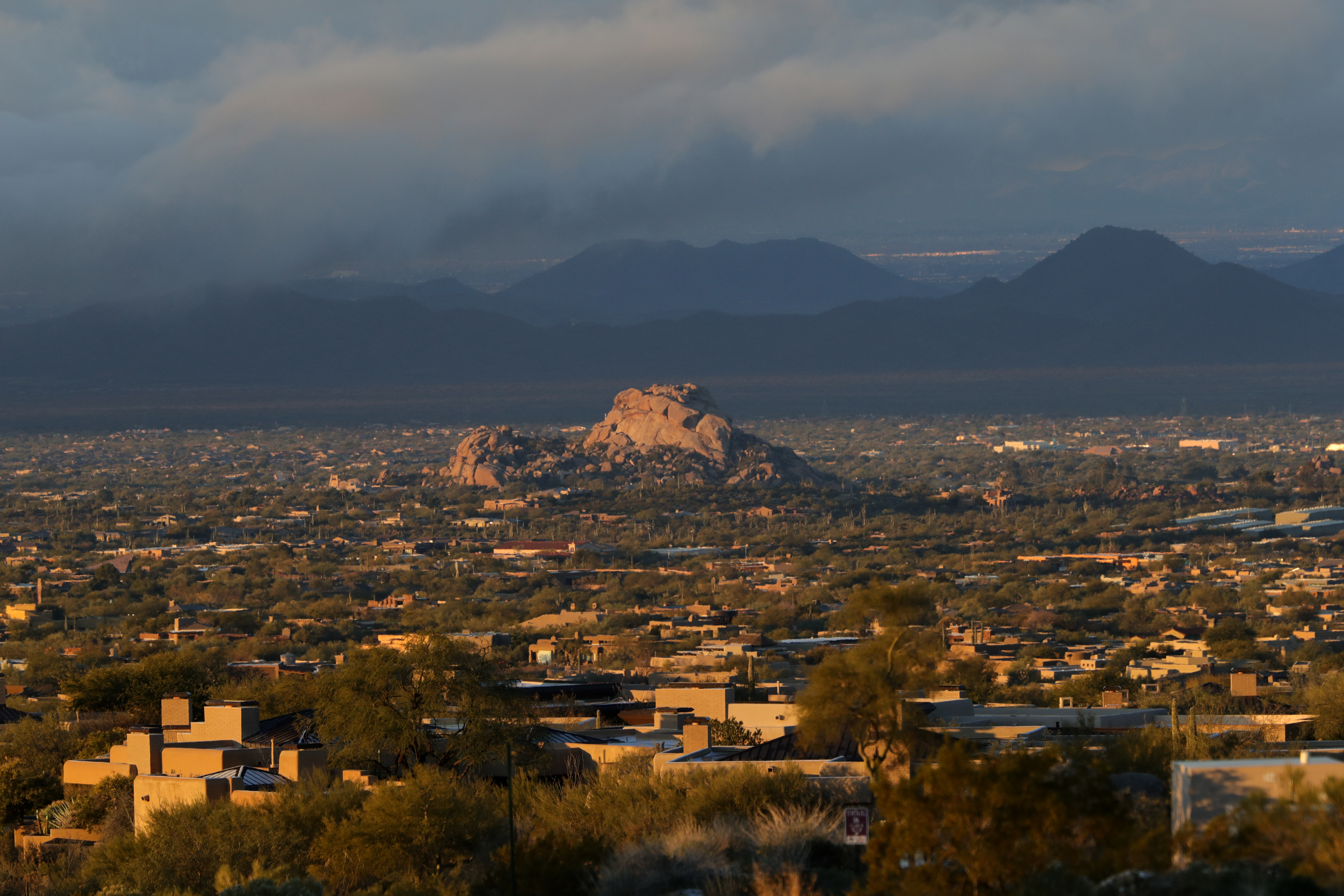
View from Onyx at The Four Seasons Scottsdsle
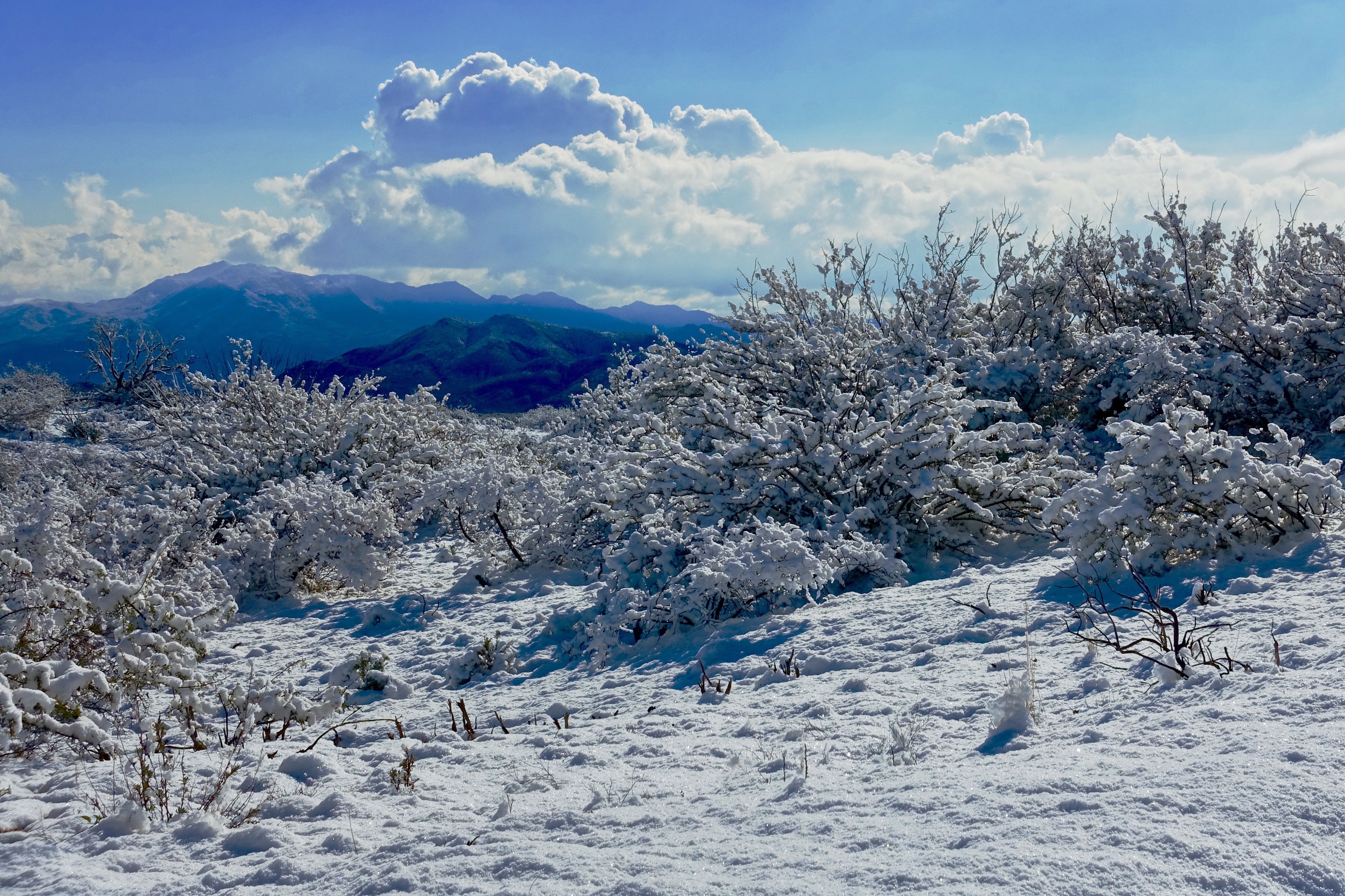
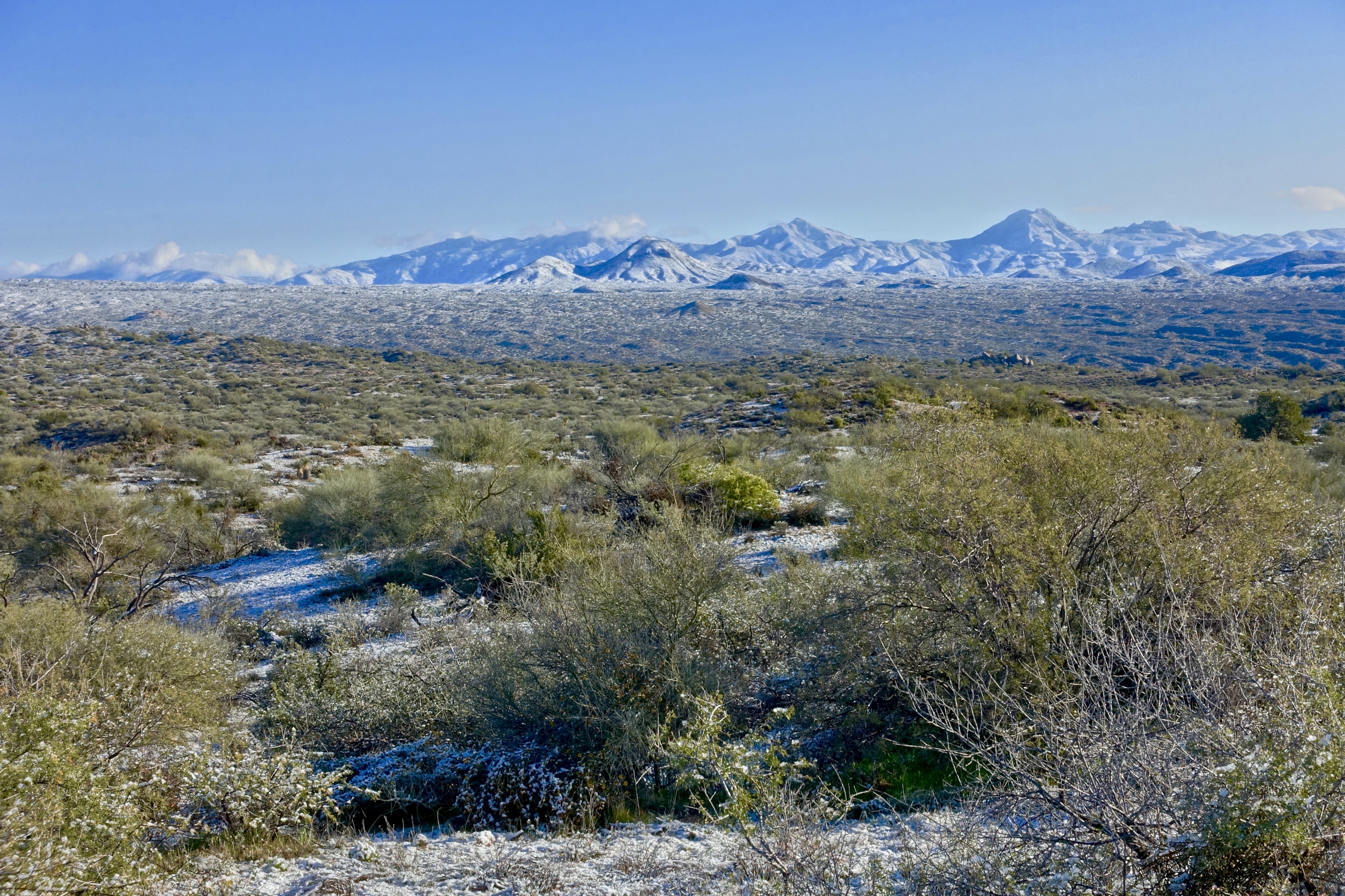
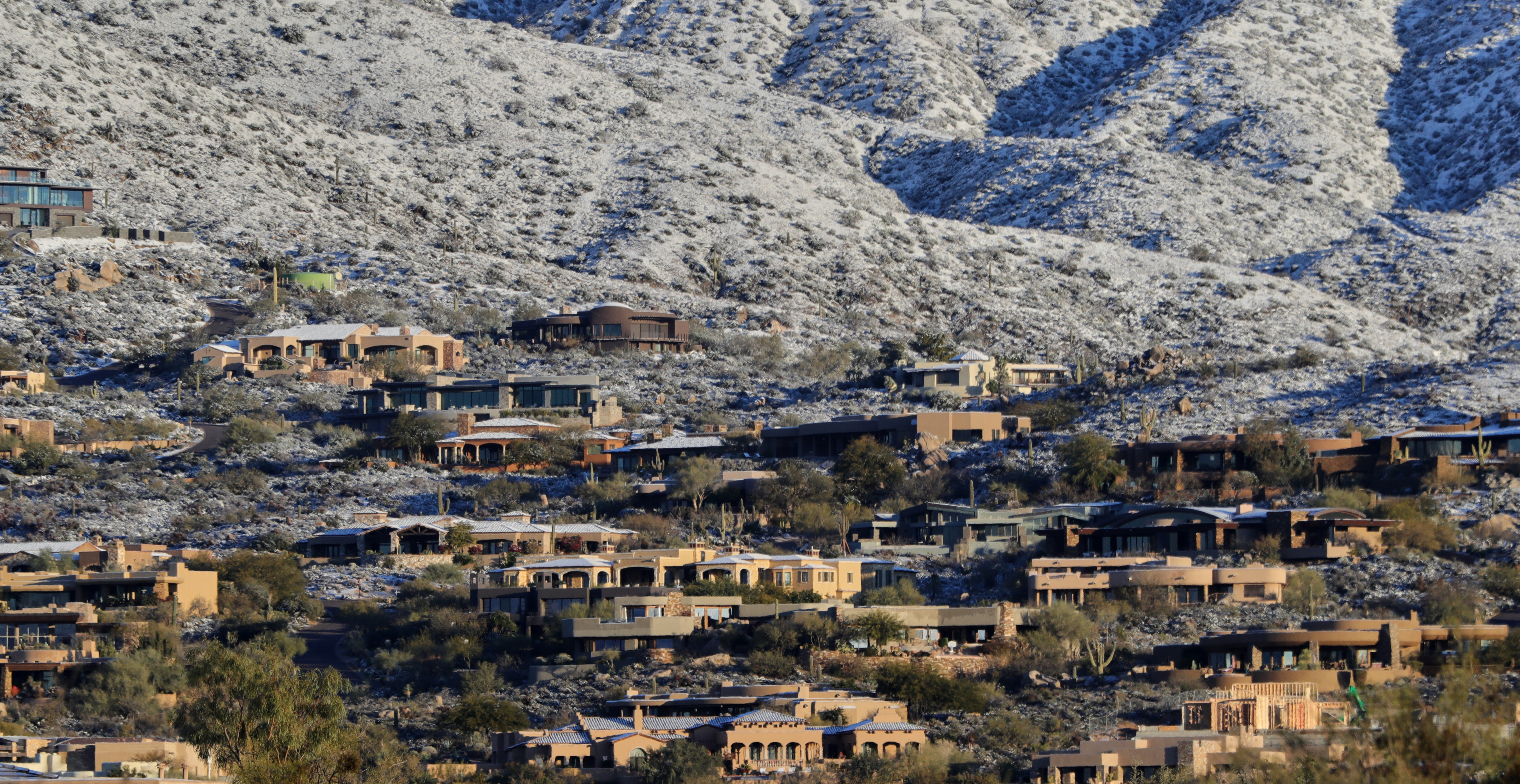
46. View along Horseshoe Dam Road of an unusually snowy landscape
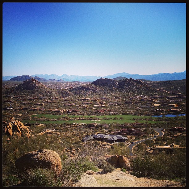
View from #pinnaclepeak highest point #scottsdale
Desert Horizons

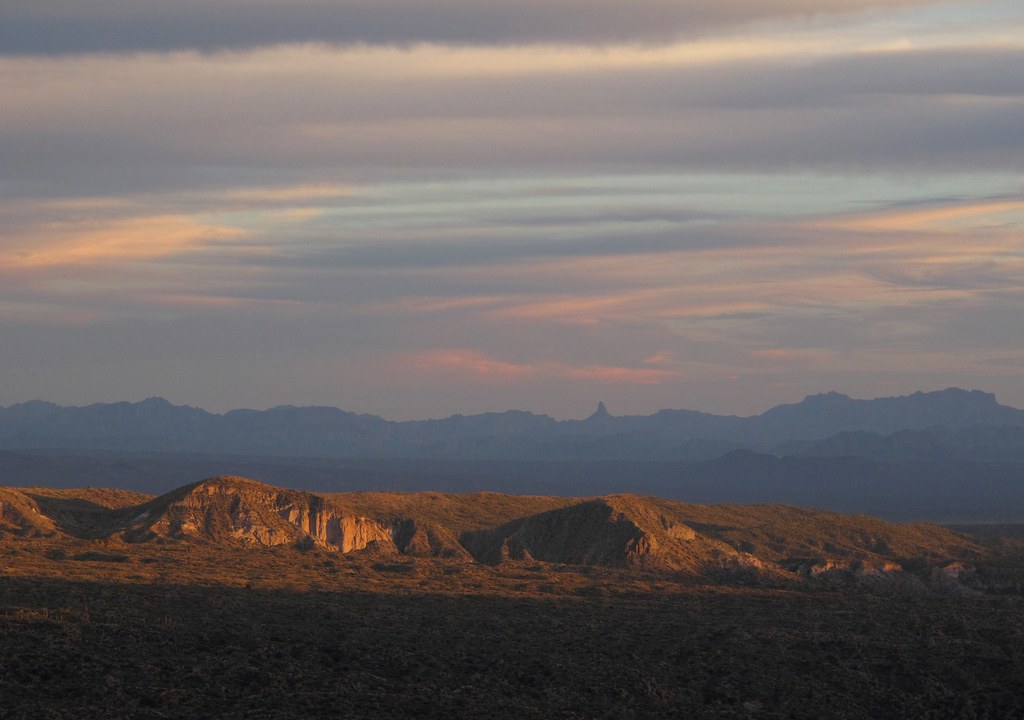
Elephant Mountain Sunrise

View to southwest approaching Black Mesa - Spur Cross
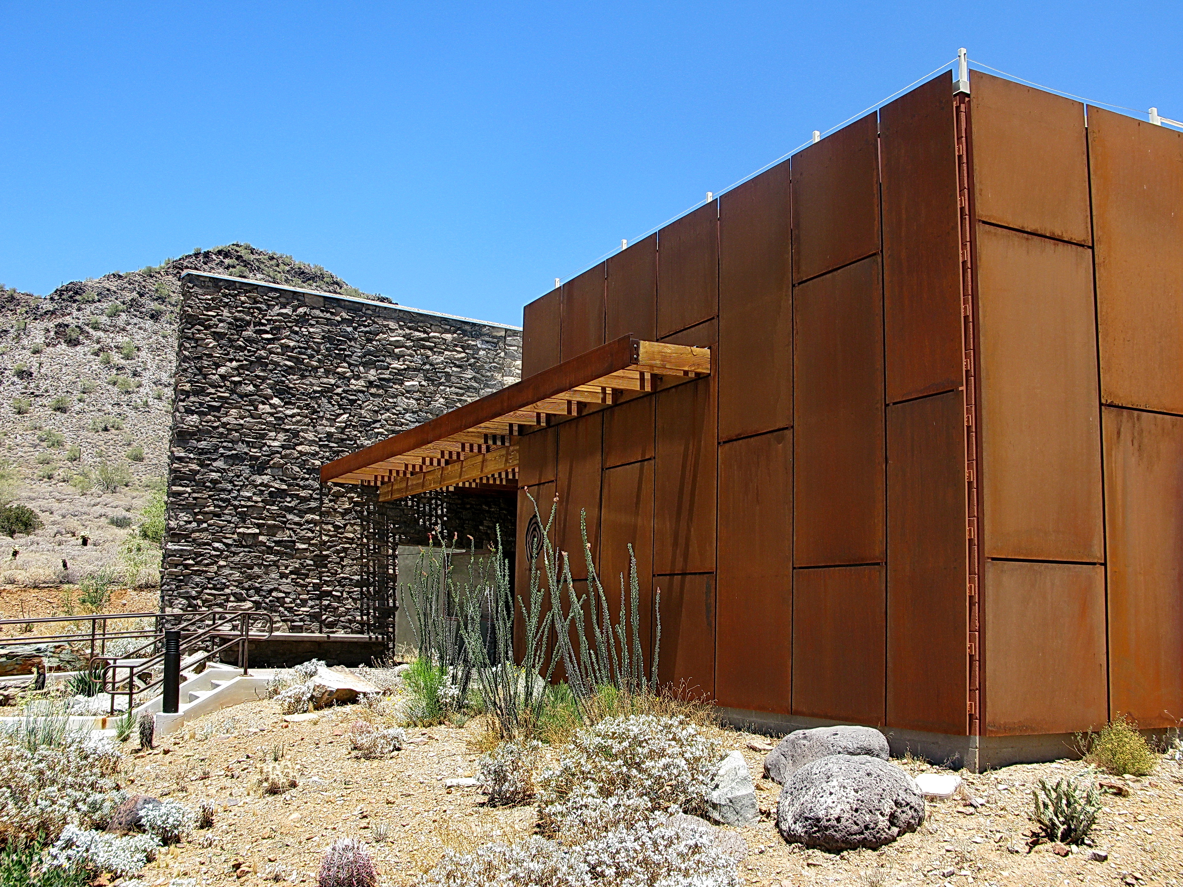
Cave Creek Recreation Area Nature Center
USA Surfaces and Textures

Cool Retro AZ Diner Sign: Big Earl's Greasy Eats, Cave Creek, View to the East

01-01-19-0043812
01-09-19-0043978
01-09-19-0044044
01-09-19-0043986

01-09-19-0044024 1
01-09-19-0044000
01-09-19-0044052

01-09-19-0043963

01-07-19-0043886

01-09-19-0043964
01-01-19-0043815
01-09-19-0044001
01-09-19-0044041
01-01-19-0043800
01-09-19-0043990

01-01-19-0043814
01-01-19-0043742
01-09-19-0044016

01-09-19-0044018
01-07-19-0043916

01-07-19-0043915
Topographic Map of E Venado Trail, Scottsdale, AZ, USA
Find elevation by address:

Places near E Venado Trail, Scottsdale, AZ, USA:
42644 N 98th Way
9898 E Filaree Ln
39622 N Charles Blair Macdonald Rd
10044 E Graythorn Dr
39602 N Charles Blair Macdonald Rd
Desert Mountain, Phase Ii
9625 E Aw Tillinghast Rd
10665 E Prospect Point Dr
40648 N 107th St
East Aw Tillinghast Road
40916 N 107th Pl
10725 E Palo Brea Dr #178
41917 N 101st Pl
10811 E Prospect Point Dr #79
10687 E Fernwood Ln
41552 N 107th Way
10710 E Honey Mesquite Dr
39029 N Alister Mckenzie Dr
Desert Mountain, Phase Iii
10947 E Graythorn Dr
Recent Searches:
- Elevation of 24, Auburn Bay Crescent SE, Auburn Bay, Calgary, Alberta, T3M 0A6, Canada
- Elevation of Denver, 2314, Arapahoe Street, Five Points, Denver, Colorado, 80205, USA
- Elevation of Community of the Beatitudes, 2924, West 43rd Avenue, Sunnyside, Denver, Colorado, 80211, USA
- Elevation map of Litang County, Sichuan, China
- Elevation map of Madoi County, Qinghai, China
- Elevation of 3314, Ohio State Route 114, Payne, Paulding County, Ohio, 45880, USA
- Elevation of Sarahills Drive, Saratoga, Santa Clara County, California, 95070, USA
- Elevation of Town of Bombay, Franklin County, New York, USA
- Elevation of 9, Convent Lane, Center Moriches, Suffolk County, New York, 11934, USA
- Elevation of Saint Angelas Convent, 9, Convent Lane, Center Moriches, Suffolk County, New York, 11934, USA
- Elevation of 131st Street Southwest, Mukilteo, Snohomish County, Washington, 98275, USA
- Elevation of 304, Harrison Road, Naples, Cumberland County, Maine, 04055, USA
- Elevation of 2362, Timber Ridge Road, Harrisburg, Cabarrus County, North Carolina, 28075, USA
- Elevation of Ridge Road, Marshalltown, Marshall County, Iowa, 50158, USA
- Elevation of 2459, Misty Shadows Drive, Pigeon Forge, Sevier County, Tennessee, 37862, USA
- Elevation of 8043, Brightwater Way, Spring Hill, Williamson County, Tennessee, 37179, USA
- Elevation of Starkweather Road, San Luis, Costilla County, Colorado, 81152, USA
- Elevation of 5277, Woodside Drive, Baton Rouge, East Baton Rouge Parish, Louisiana, 70808, USA
- Elevation of 1139, Curtin Street, Shepherd Park Plaza, Houston, Harris County, Texas, 77018, USA
- Elevation of 136, Sellers Lane, Repton, Monroe County, Alabama, 36475, USA