Elevation of E S, Hazelton, ID, USA
Location: United States > Idaho > Jerome County > Hazelton >
Longitude: -114.04929
Latitude: 42.576817
Elevation: 1250m / 4101feet
Barometric Pressure: 87KPa
Elevation Map:
Satellite Map:
Related Photos:

Camera Roll-1515
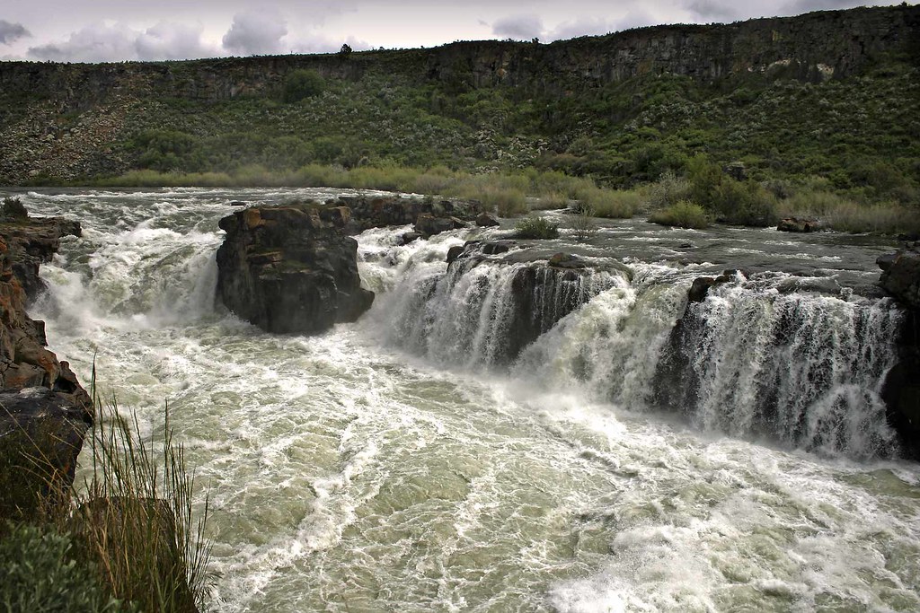
Cauldron Linn

Camera Roll-1512
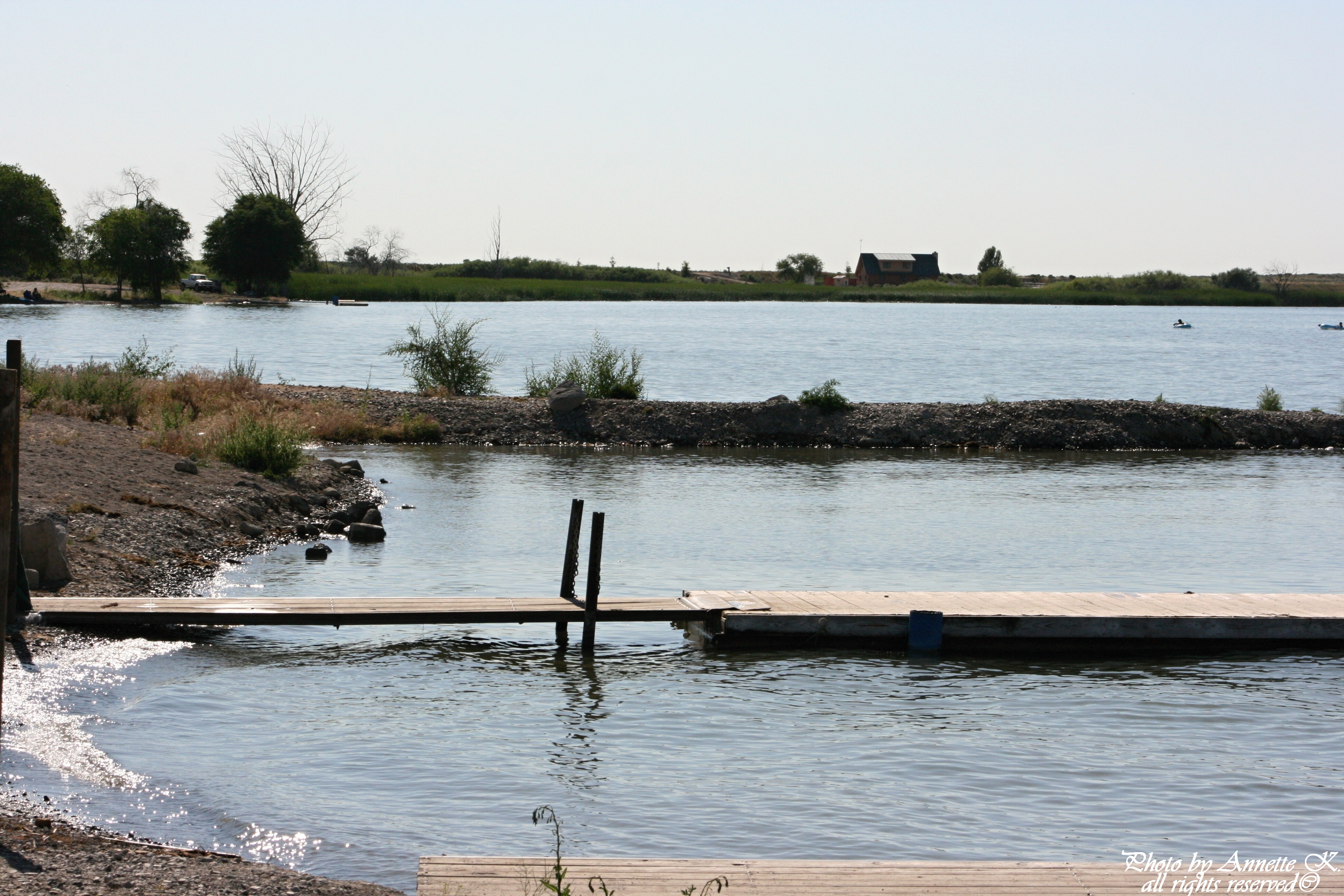
Lake Wilson Boat Dock

Lake Wilson

Idaho Potato Farm

First order of the day: cross Idaho

Utah: Pretty, but...

Standard co-pilot.

idaho corn field
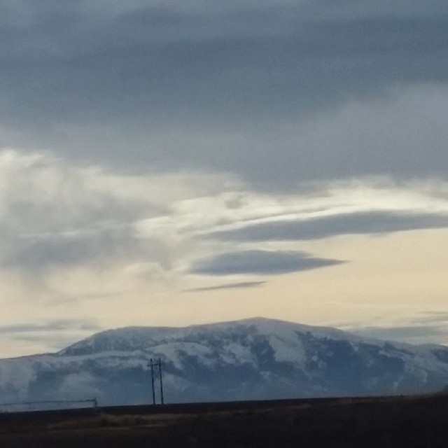
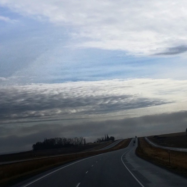
#Idaho #Nature #sky #mountains
#Idaho
#skyline #Eden #Idaho

Red at night...

Sun setting just outside Burley, ID

Megan's delicious peanut butter bread

Summer Blues

RoadTrip 201207280082

Camera Roll-1523

Camera Roll-1521

Camera Roll-1520

Camera Roll-1519

Camera Roll-1518
Topographic Map of E S, Hazelton, ID, USA
Find elevation by address:

Places near E S, Hazelton, ID, USA:
S E, Hazelton, ID, USA
E N, Murtaugh, ID, USA
Hazelton
40 S W, Idaho, USA
South W, Burley, ID, USA
Murtaugh
Eden
E N, Murtaugh, ID, USA
Hunt Rd, Jerome, ID, USA
E S, Eden, ID, USA
Tipperary Corner
S E, Jerome, ID, USA
Hansen
Overland Ave W, Hansen, ID, USA
2444 Rock Creek Rd
2444 Rock Creek Rd
E N, Hansen, ID, USA
A S E, Jerome, ID, USA
3337 N 3800 E
N E, Hansen, ID, USA
Recent Searches:
- Elevation of Corso Fratelli Cairoli, 35, Macerata MC, Italy
- Elevation of Tallevast Rd, Sarasota, FL, USA
- Elevation of 4th St E, Sonoma, CA, USA
- Elevation of Black Hollow Rd, Pennsdale, PA, USA
- Elevation of Oakland Ave, Williamsport, PA, USA
- Elevation of Pedrógão Grande, Portugal
- Elevation of Klee Dr, Martinsburg, WV, USA
- Elevation of Via Roma, Pieranica CR, Italy
- Elevation of Tavkvetili Mountain, Georgia
- Elevation of Hartfords Bluff Cir, Mt Pleasant, SC, USA