Elevation of E N, Murtaugh, ID, USA
Location: United States > Idaho > Twin Falls County > Murtaugh >
Longitude: -114.02308
Latitude: 42.51889
Elevation: 1266m / 4154feet
Barometric Pressure: 87KPa
Elevation Map:
Satellite Map:
Related Photos:

Camera Roll-1515

Camera Roll-1512
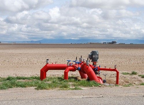
Valves... 20120419_1320
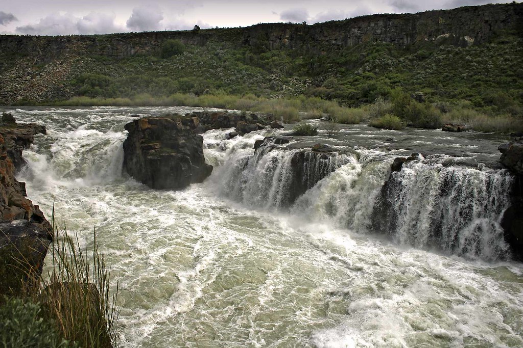
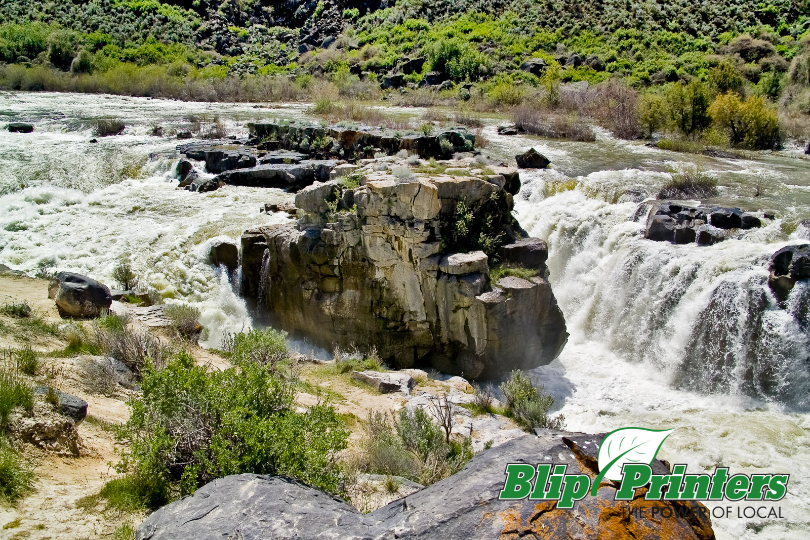
Cauldron Linn
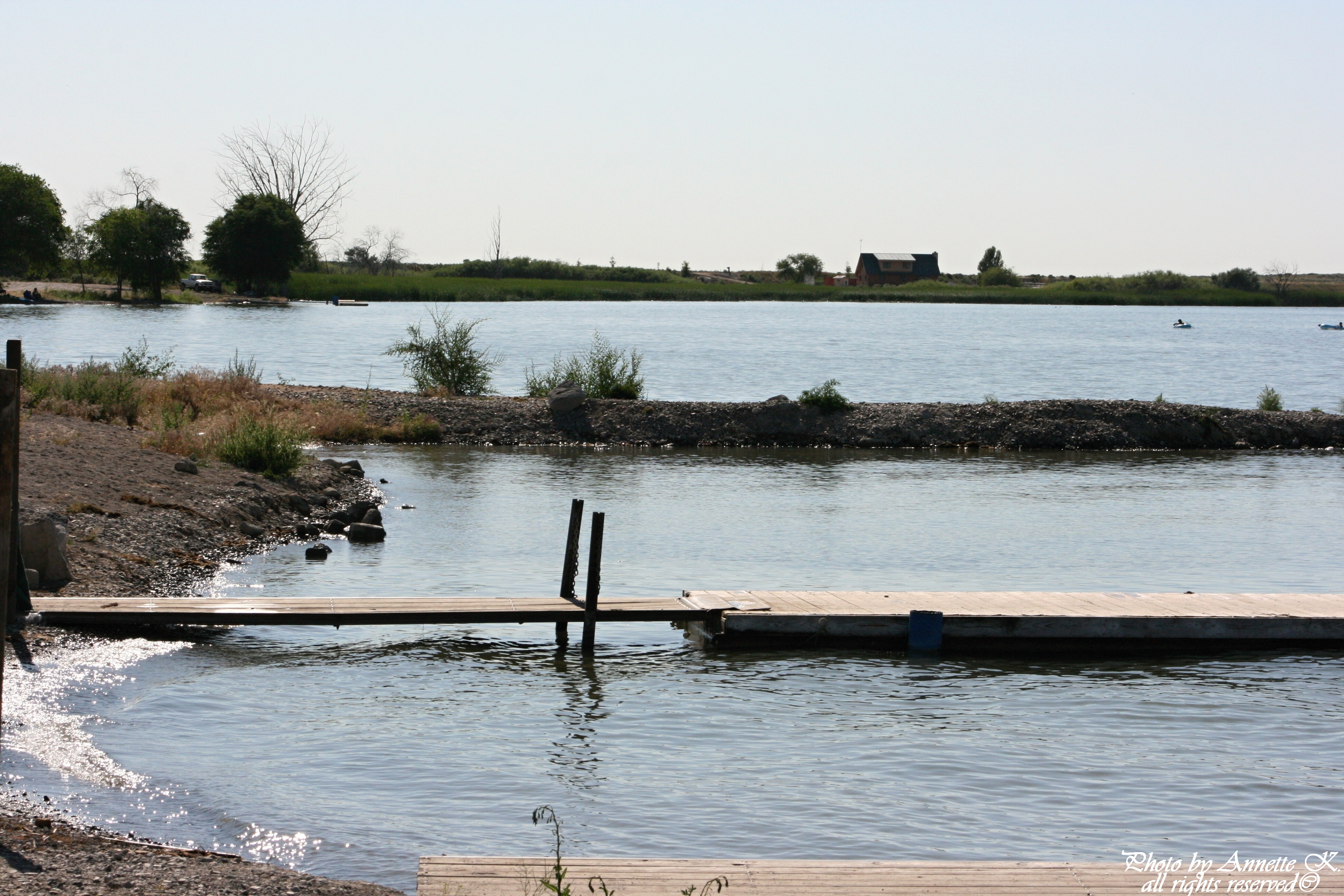
Lake Wilson Boat Dock

IMG_9557.JPG

Lake Wilson

First order of the day: cross Idaho
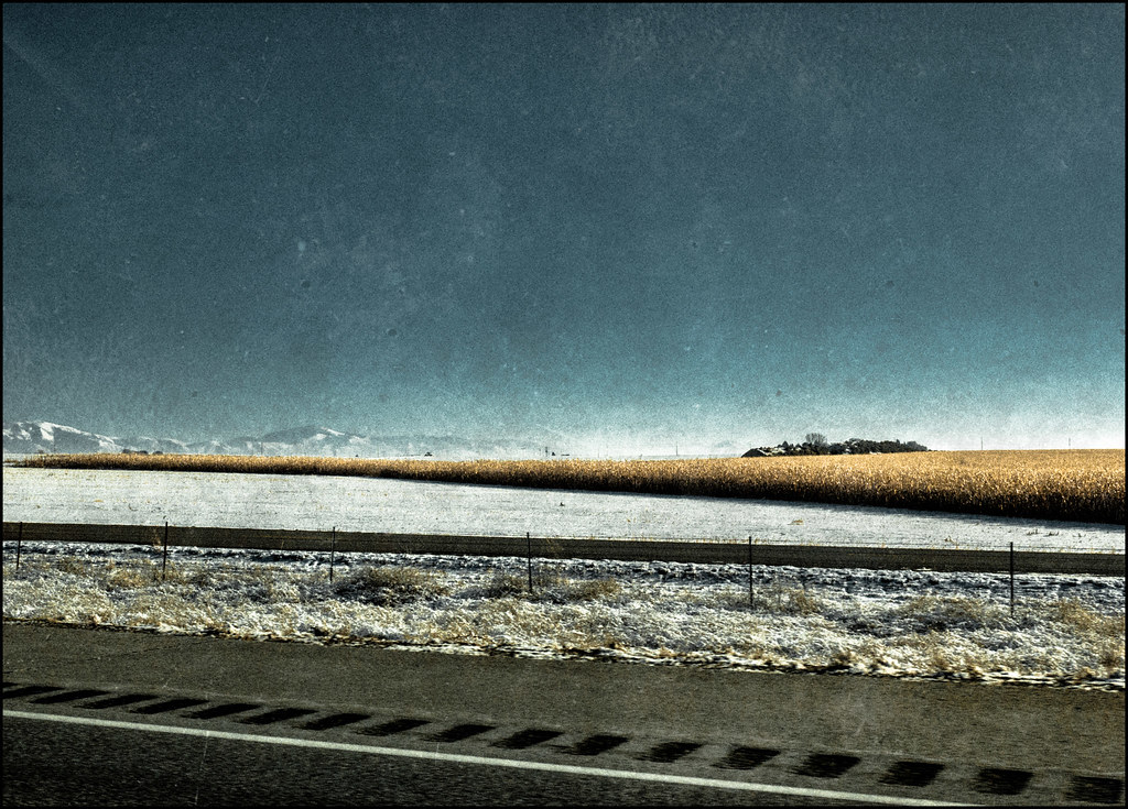
The Distant Mountains - 2014

Idaho Potato Farm
FH5G9114.jpg
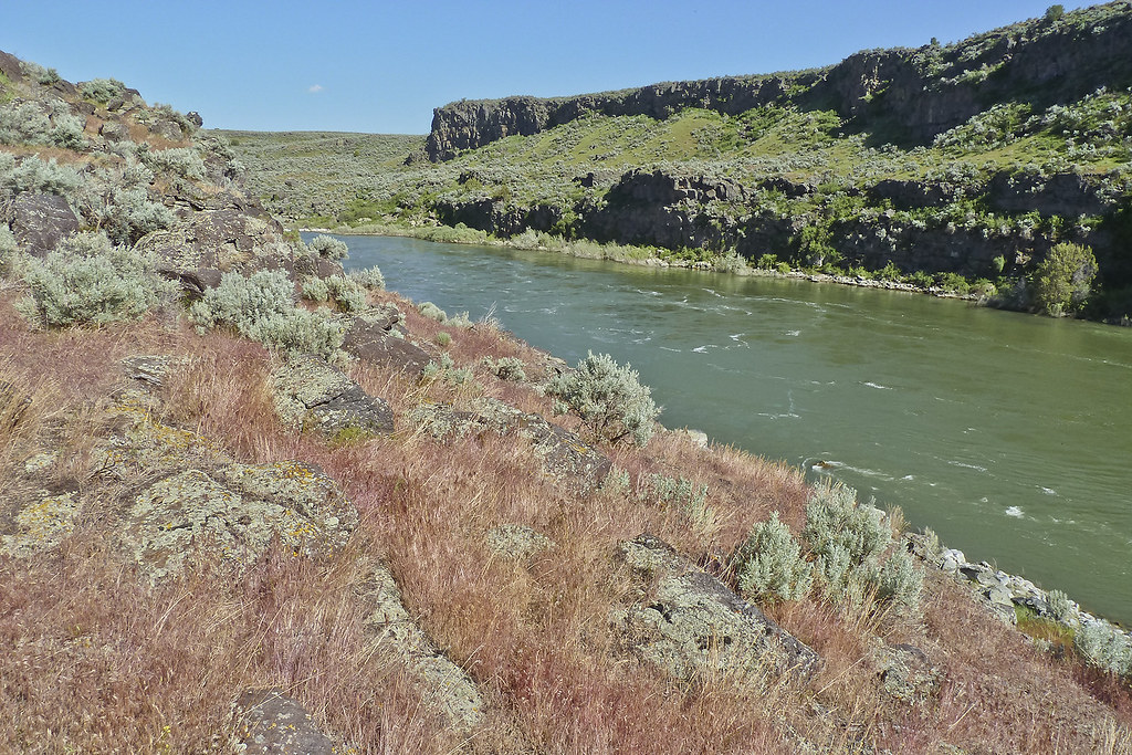
The Snake River just north of Murtaugh, Idaho. The red grass is ripening cheat grass.
Topographic Map of E N, Murtaugh, ID, USA
Find elevation by address:

Places near E N, Murtaugh, ID, USA:
E S, Hazelton, ID, USA
40 S W, Idaho, USA
S E, Hazelton, ID, USA
South W, Burley, ID, USA
Hazelton
Murtaugh
E N, Murtaugh, ID, USA
Eden
E S, Eden, ID, USA
Hansen
Hunt Rd, Jerome, ID, USA
Tipperary Corner
E N, Hansen, ID, USA
Overland Ave W, Hansen, ID, USA
2444 Rock Creek Rd
2444 Rock Creek Rd
3337 N 3800 E
N E, Hansen, ID, USA
S E, Jerome, ID, USA
A S E, Jerome, ID, USA
Recent Searches:
- Elevation of Corso Fratelli Cairoli, 35, Macerata MC, Italy
- Elevation of Tallevast Rd, Sarasota, FL, USA
- Elevation of 4th St E, Sonoma, CA, USA
- Elevation of Black Hollow Rd, Pennsdale, PA, USA
- Elevation of Oakland Ave, Williamsport, PA, USA
- Elevation of Pedrógão Grande, Portugal
- Elevation of Klee Dr, Martinsburg, WV, USA
- Elevation of Via Roma, Pieranica CR, Italy
- Elevation of Tavkvetili Mountain, Georgia
- Elevation of Hartfords Bluff Cir, Mt Pleasant, SC, USA