Elevation of E Miami River Rd, Cleves, OH, USA
Location: United States > Ohio > Hamilton County > Miami Township >
Longitude: -84.725855
Latitude: 39.196205
Elevation: 158m / 518feet
Barometric Pressure: 0KPa
Related Photos:
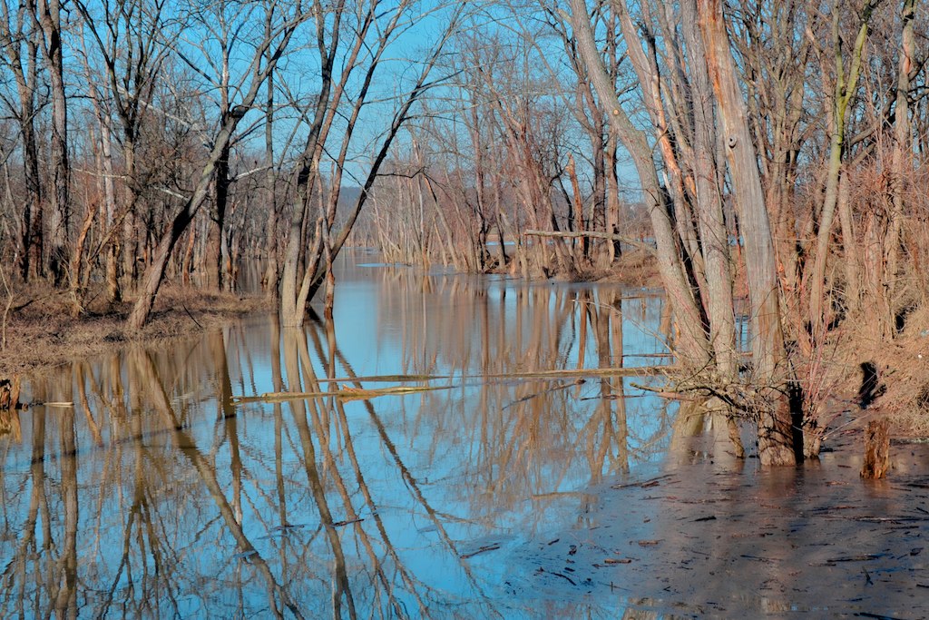
Oxbow Nature Conservancy, Lawrenceburg, Indiana

1343 Linear View

Pool Chairs

BALD EAGLE FISHING (5 image series)

Sunday Morning Sunrise
RED-SHOULDERED HAWK
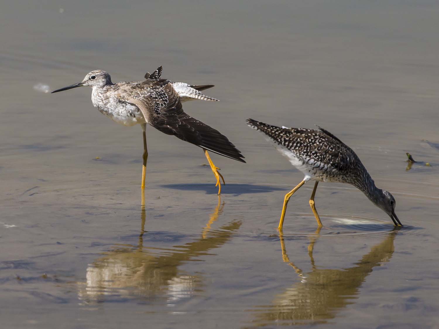
GREATER YELLOWLEGS

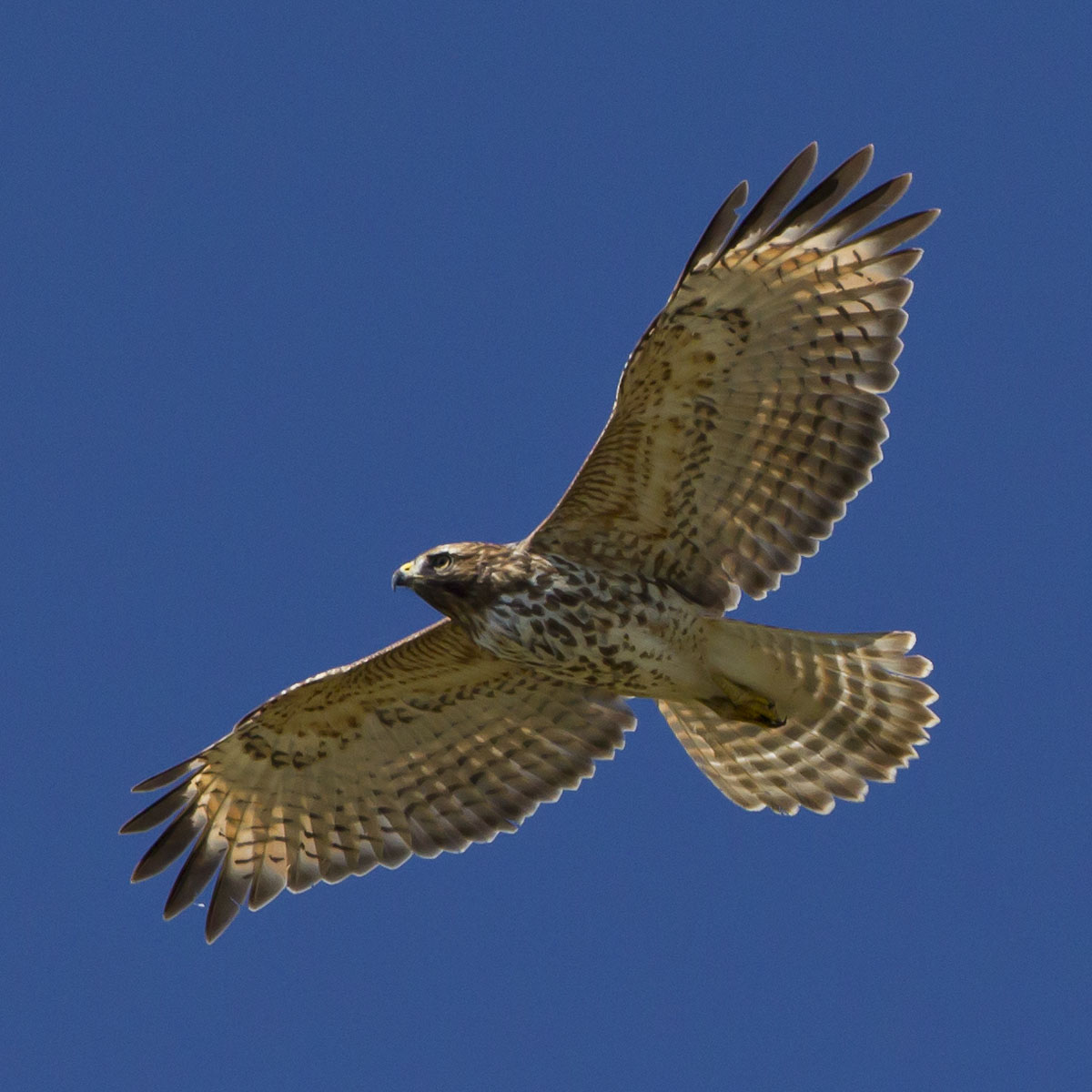
RED-TAILED HAWK -- LEUCISTIC

RED-SHOULDERED HAWK
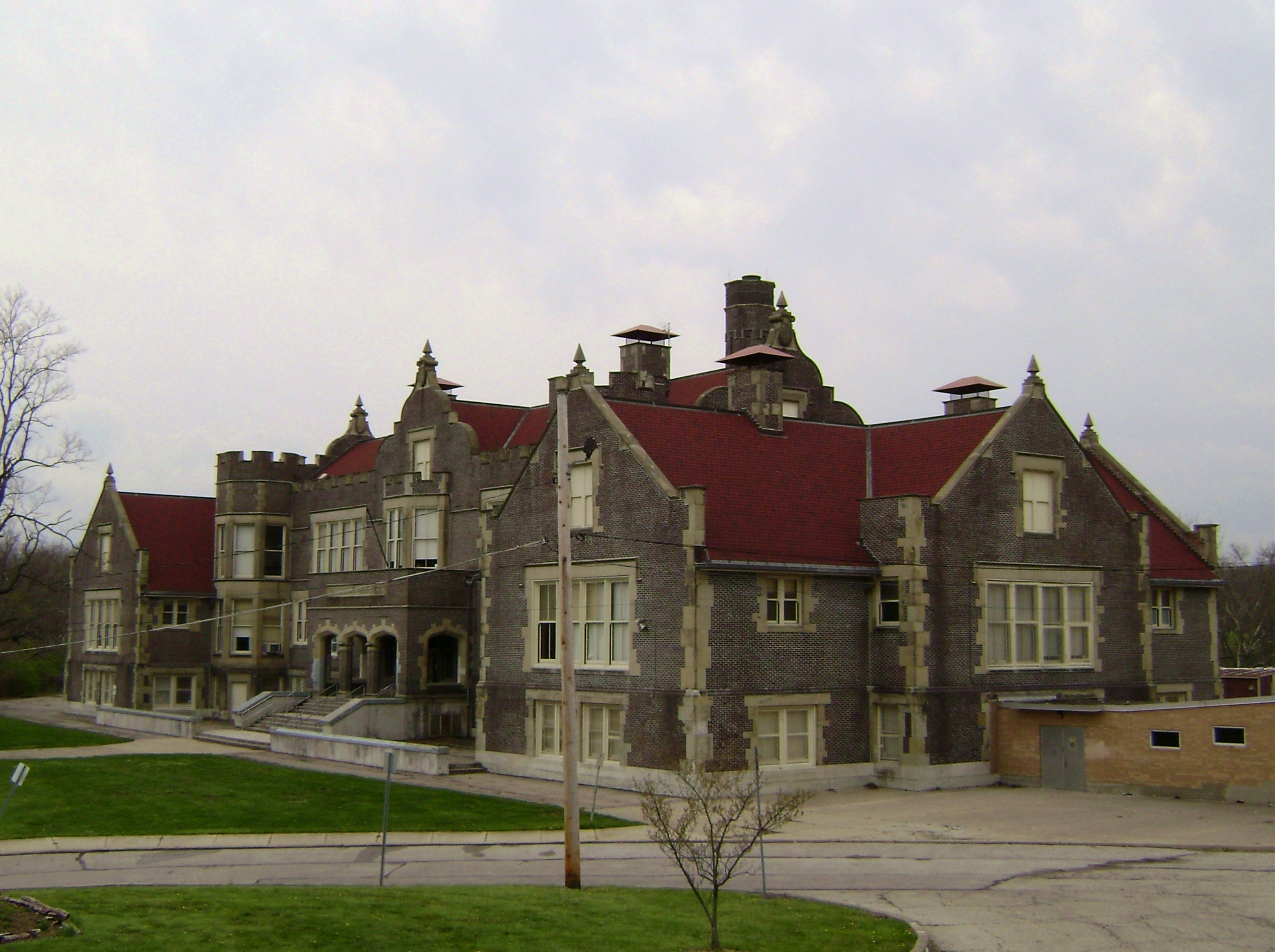
South Fairmount, Cincinnati
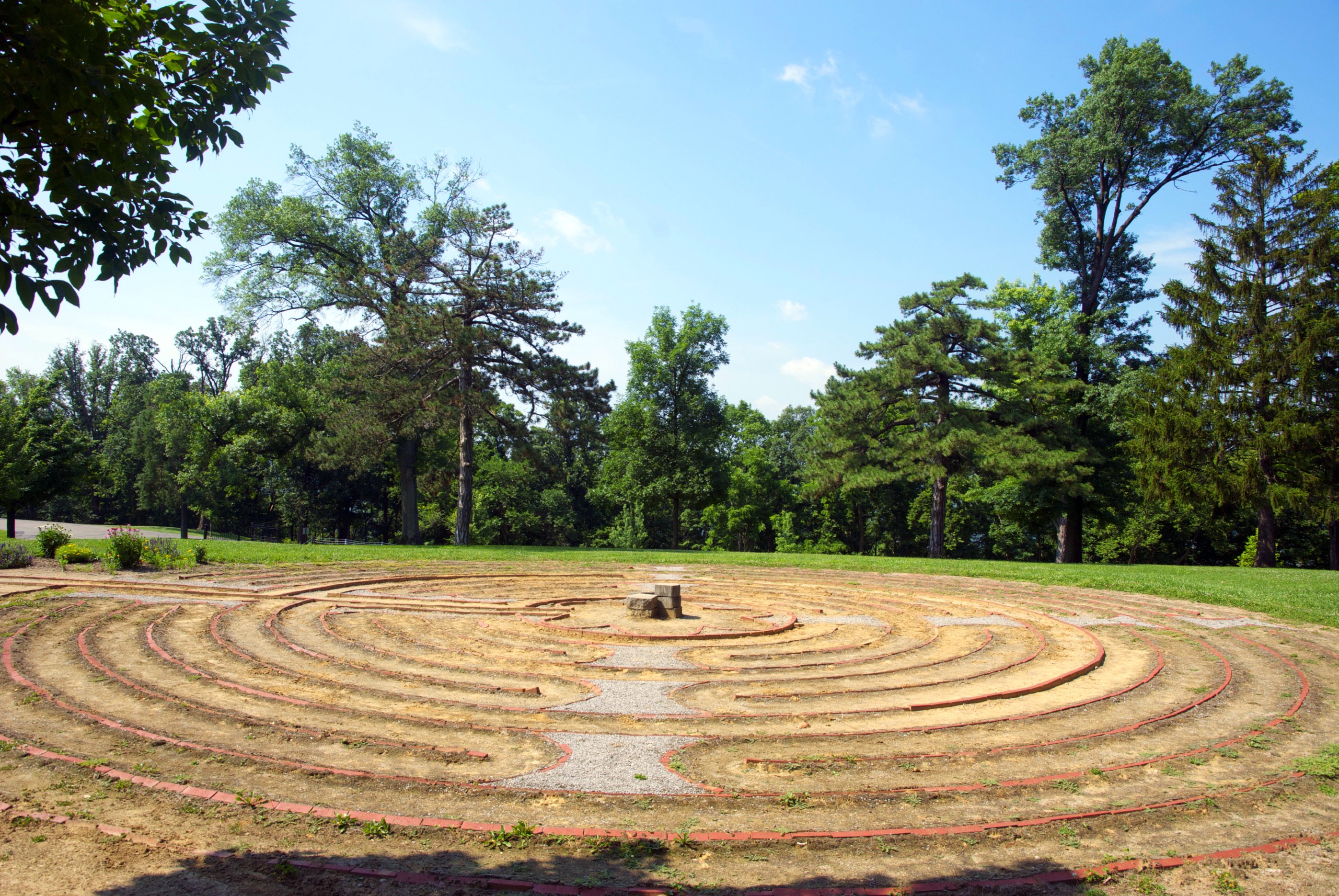
Mt.St.Joseph Labyrinth side view
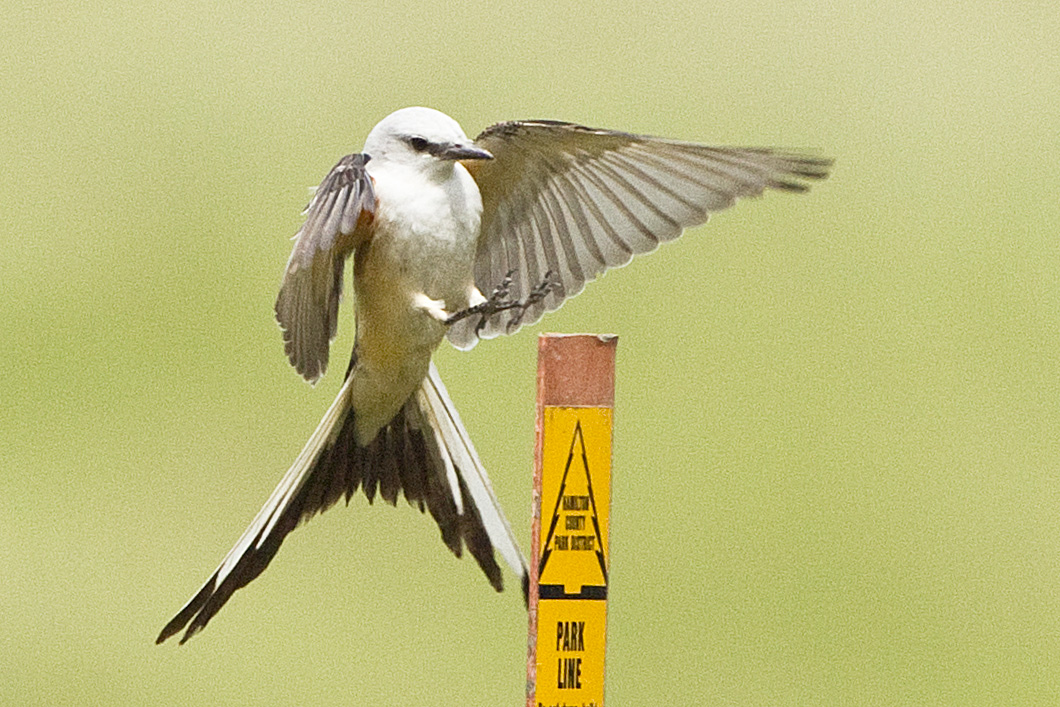
SCISSOR-TAILED FLYCATCHER

SNOW BUNTINGS

6021 Traditional View Ant Hill Style
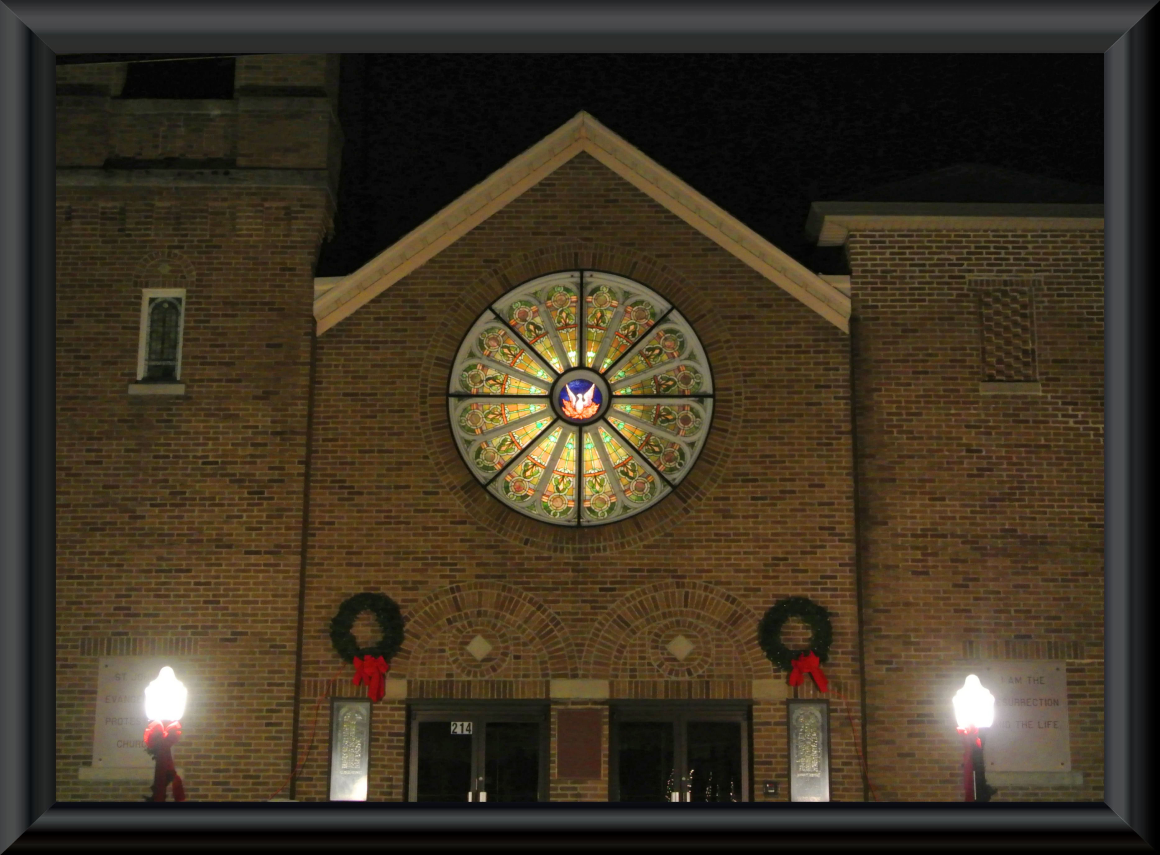
Festive church

RED-TAILED HAWK - BOTTOM VIEW

MANY DUCKS on the SOUTH END of OXBOW LAKE

2122 Stretch View at Mount Airy

6018 Long View at Mount Airy
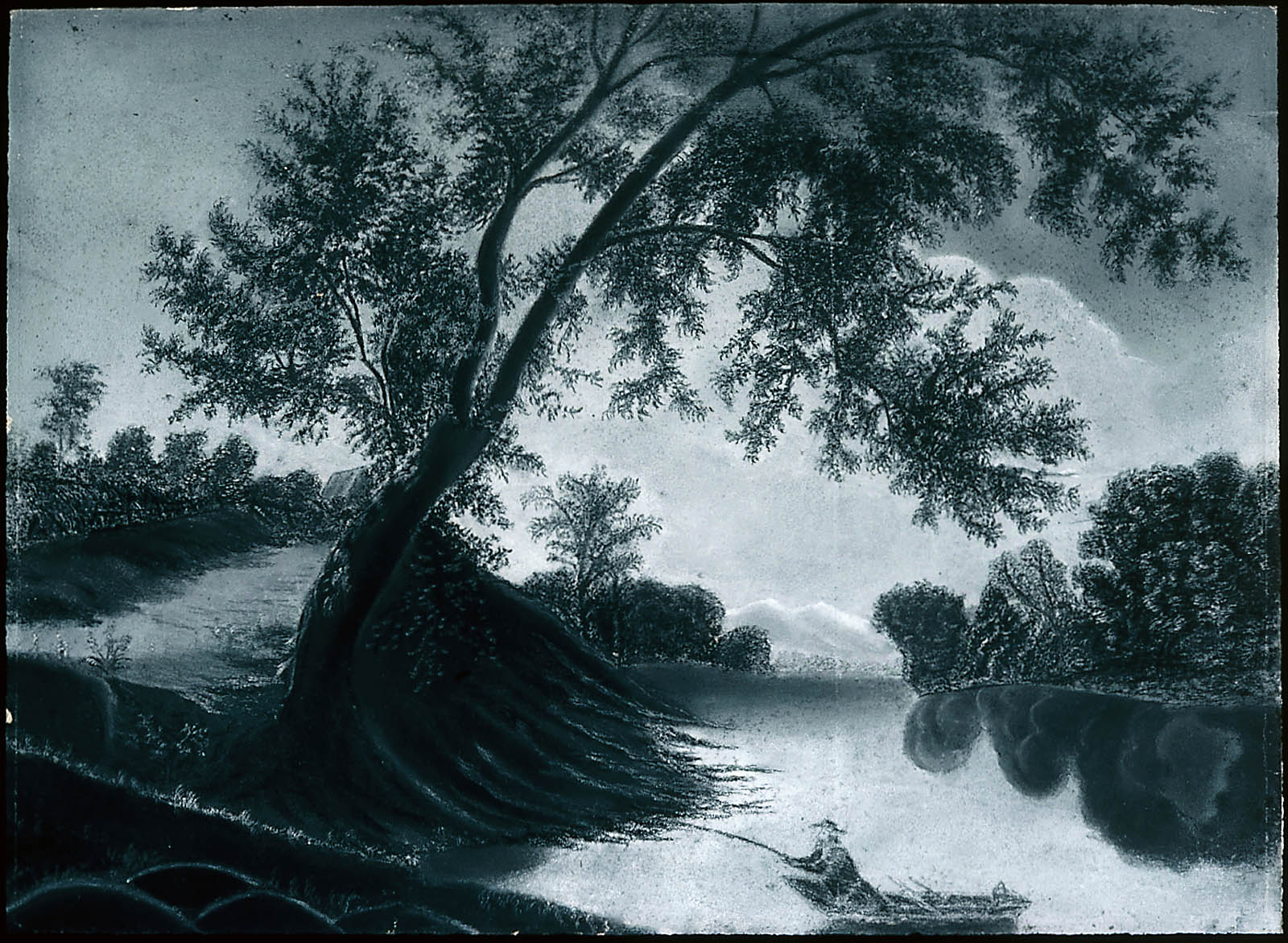
Fisherman on the Harwinton

worms eye view

IMG_4099.JPG

IMG_9587.JPG

Random Plant

North Bend Generating Plant seen from Oxbow Conservancy

kestrels 1832
All Alone

IMG_2242.JPG

Frozen River -West

IMG_8495.JPG

The sky.

DSC_3557 - Version 3

Great Miami River

IMG_9586.JPG

Blue Grosbeaks(?) in Fernald Preserve
IMG_4161.JPG

IMG_1881.JPG
The Field

It's a beautiful day for some soccer! Go Rangers!!!

IMG_9001.JPG

IMG_2496.JPG

Another chance of rain
Topographic Map of E Miami River Rd, Cleves, OH, USA
Find elevation by address:

Places near E Miami River Rd, Cleves, OH, USA:
Miami Township
Three Rivers Pkwy, Addyston, OH, USA
Addyston
7398 Southpointe Dr
Dent
2050 Glenview Dr
Bridgetown Rd, Cincinnati, OH, USA
6725 Hillside Ave
6679 Parkland Ave
Twain Ave, Cincinnati, OH, USA
Francisville
Green Township
5636 W Fork Rd
Sayler Park
2975 Country Woods Ln
Taylorsport
Rapid Run Middle School
Covedale
2112 W Horizon Dr
5751 Faysel Dr
Recent Searches:
- Elevation of Window Rock, Colfax County, New Mexico, 87714, USA
- Elevation of 4807, Rosecroft Street, Kempsville Gardens, Virginia Beach, Virginia, 23464, USA
- Elevation map of Matawinie, Quebec, Canada
- Elevation of Sainte-Émélie-de-l'Énergie, Matawinie, Quebec, Canada
- Elevation of Rue du Pont, Sainte-Émélie-de-l'Énergie, Matawinie, Quebec, J0K2K0, Canada
- Elevation of 8, Rue de Bécancour, Blainville, Thérèse-De Blainville, Quebec, J7B1N2, Canada
- Elevation of Wilmot Court North, 163, University Avenue West, Northdale, Waterloo, Region of Waterloo, Ontario, N2L6B6, Canada
- Elevation map of Panamá Province, Panama
- Elevation of Balboa, Panamá Province, Panama
- Elevation of San Miguel, Balboa, Panamá Province, Panama
- Elevation of Isla Gibraleón, San Miguel, Balboa, Panamá Province, Panama
- Elevation of 4655, Krischke Road, Schulenburg, Fayette County, Texas, 78956, USA
- Elevation of Carnegie Avenue, Downtown Cleveland, Cleveland, Cuyahoga County, Ohio, 44115, USA
- Elevation of Walhonding, Coshocton County, Ohio, USA
- Elevation of Clifton Down, Clifton, Bristol, City of Bristol, England, BS8 3HU, United Kingdom
- Elevation map of Auvergne-Rhône-Alpes, France
- Elevation map of Upper Savoy, Auvergne-Rhône-Alpes, France
- Elevation of Chamonix-Mont-Blanc, Upper Savoy, Auvergne-Rhône-Alpes, France
- Elevation of 908, Northwood Drive, Bridge Field, Chesapeake, Virginia, 23322, USA
- Elevation map of Nagano Prefecture, Japan