Elevation of E Main St, Suring, WI, USA
Location: United States > Wisconsin > Oconto County >
Longitude: -88.371982
Latitude: 44.9992515
Elevation: 245m / 804feet
Barometric Pressure: 98KPa
Elevation Map:
Satellite Map:
Related Photos:
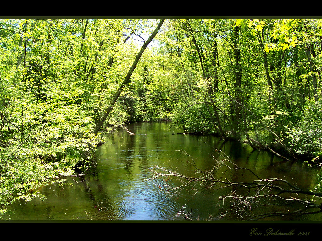
View from Bridge
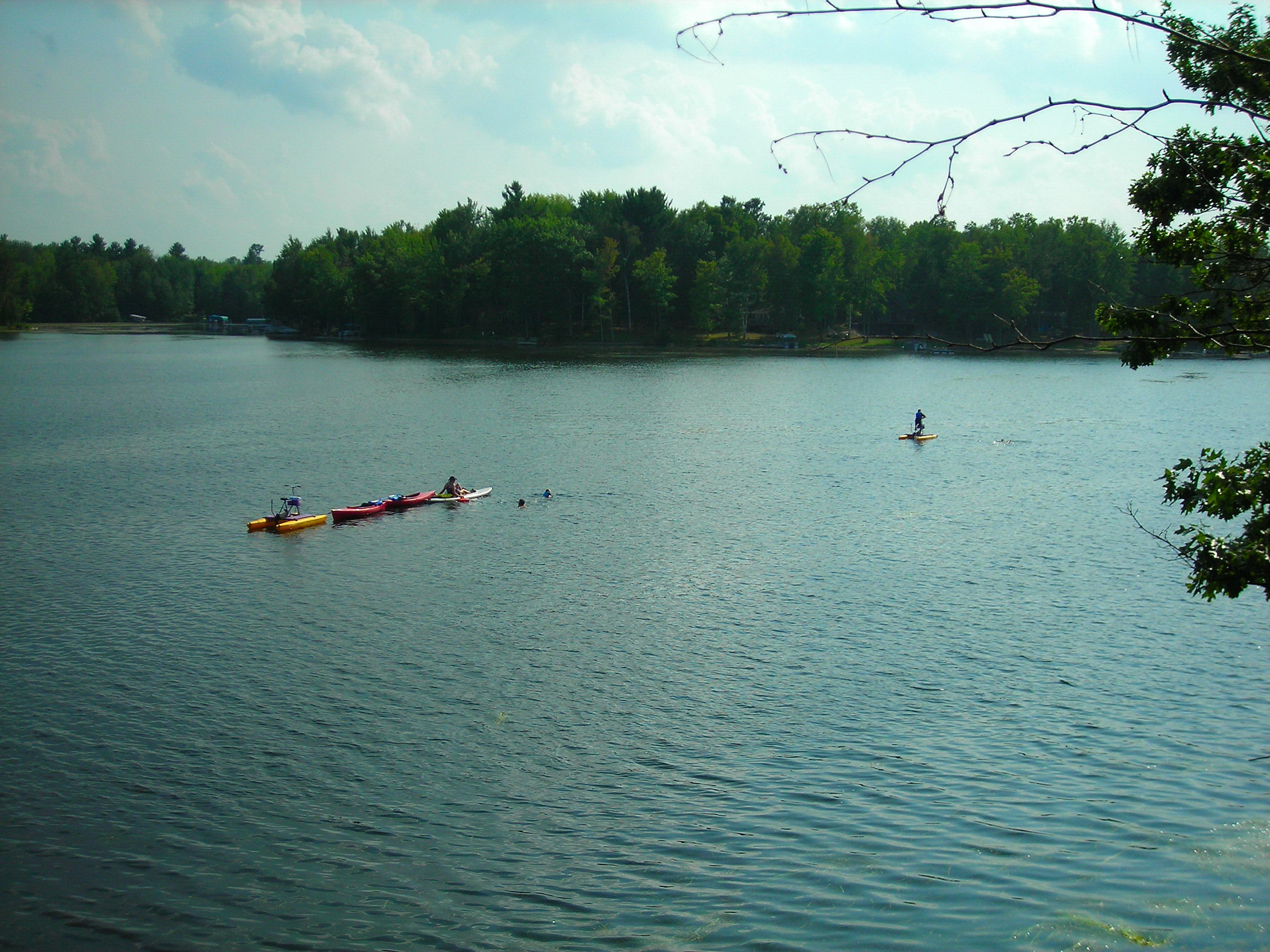
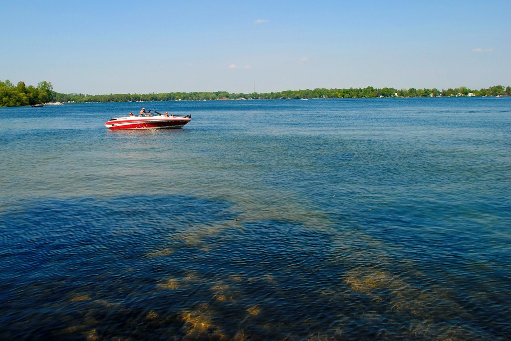
Lake View

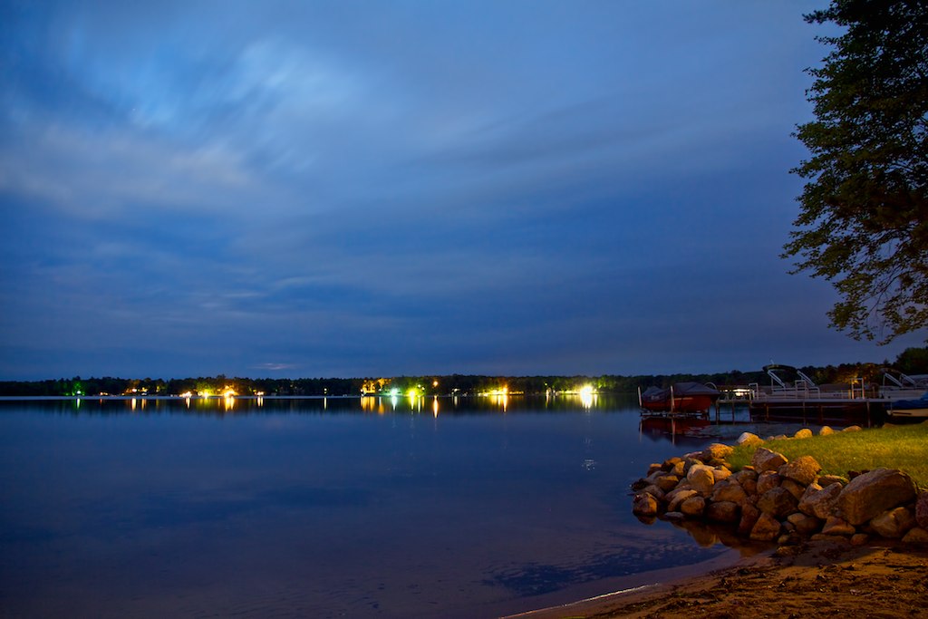
Start of Relaxation

2011-07-04 - Modified Tri-Hull
chute park campground

chute park campground
2011-07-14 - Start of Relaxation
Land of Sky Blue Waters

Lily and Lily Pads

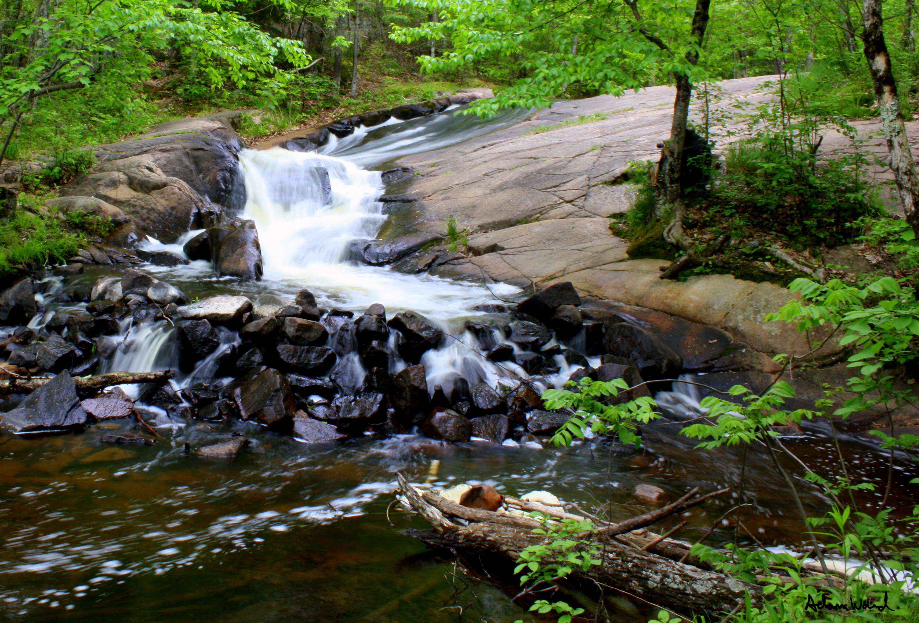
Fall Trail
Slipprey Rock

Fall Colors

old barn

20130805-IMG_1729.jpg

Dirt Road

Corner 2

orchid, Chute Pond, Marinette, WI, 1993_07_27 001.jpg
Topographic Map of E Main St, Suring, WI, USA
Find elevation by address:

Places near E Main St, Suring, WI, USA:
11290 Claywood Rd
Maple Valley
Underhill
Underhill
Gillett
County Rd E, Oconto Falls, WI, USA
Spruce
Washington
Wisconsin 32
Cecil
WI-, Bonduel, WI, USA
W5681 N Shore Dr
4288 Co Hwy C
Morgan
Oconto Falls
S Main St, Oconto Falls, WI, USA
WI-32, Krakow, WI, USA
Krakow
4216 Elm Lawn Rd
4288 Elm Lawn Rd
Recent Searches:
- Elevation of Corso Fratelli Cairoli, 35, Macerata MC, Italy
- Elevation of Tallevast Rd, Sarasota, FL, USA
- Elevation of 4th St E, Sonoma, CA, USA
- Elevation of Black Hollow Rd, Pennsdale, PA, USA
- Elevation of Oakland Ave, Williamsport, PA, USA
- Elevation of Pedrógão Grande, Portugal
- Elevation of Klee Dr, Martinsburg, WV, USA
- Elevation of Via Roma, Pieranica CR, Italy
- Elevation of Tavkvetili Mountain, Georgia
- Elevation of Hartfords Bluff Cir, Mt Pleasant, SC, USA