Elevation of S Main St, Oconto Falls, WI, USA
Location: United States > Wisconsin > Oconto County > Oconto Falls >
Longitude: -88.142659
Latitude: 44.8738797
Elevation: 228m / 748feet
Barometric Pressure: 99KPa
Elevation Map:
Satellite Map:
Related Photos:

View from across the road.

Triple Rainbow

Triple Rainbow
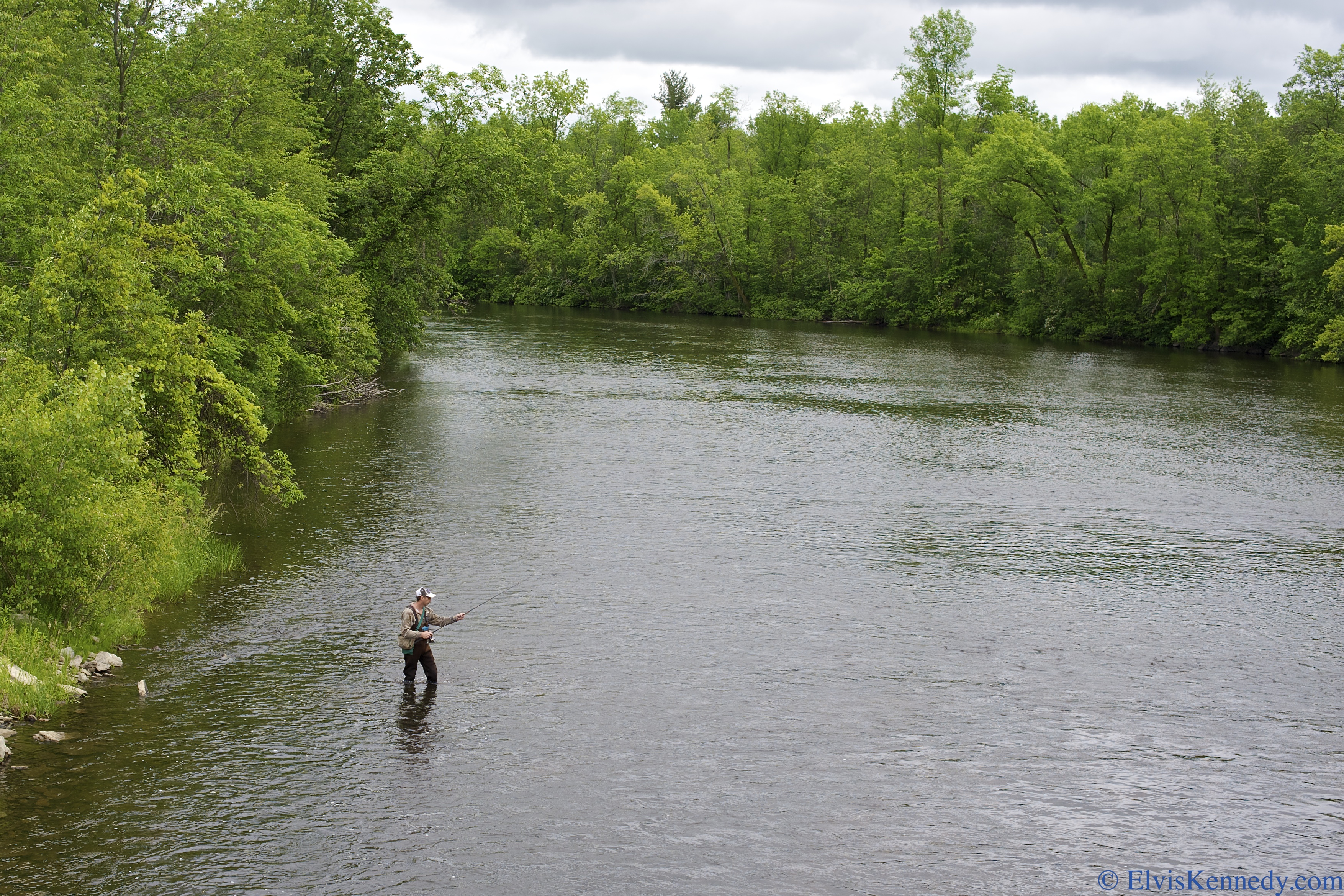
#35 Flyfishing

Sunrise 12-24-11

Fall Trail

Wisconsin farmland 3

Wisconsin farmland 1

old barn

Chickweed Geometer (Haematopis grataria)

orchid, Chute Pond, Marinette, WI, 1993_07_27 001.jpg
Topographic Map of S Main St, Oconto Falls, WI, USA
Find elevation by address:

Places near S Main St, Oconto Falls, WI, USA:
Oconto Falls
4288 Timberline Cir
4216 Timberline Cir
4200 Timberline Cir
4288 Elm Lawn Rd
4216 Elm Lawn Rd
4288 Co Hwy C
Morgan
8281 Wahl Ln
Spruce
Wisconsin 32
County Rd E, Oconto Falls, WI, USA
5994 Cedar St
County Hwy A, Lena, WI, USA
Lena
Oconto County
WI-32, Krakow, WI, USA
Krakow
County Road J
N4790 Largo Ln
Recent Searches:
- Elevation of Corso Fratelli Cairoli, 35, Macerata MC, Italy
- Elevation of Tallevast Rd, Sarasota, FL, USA
- Elevation of 4th St E, Sonoma, CA, USA
- Elevation of Black Hollow Rd, Pennsdale, PA, USA
- Elevation of Oakland Ave, Williamsport, PA, USA
- Elevation of Pedrógão Grande, Portugal
- Elevation of Klee Dr, Martinsburg, WV, USA
- Elevation of Via Roma, Pieranica CR, Italy
- Elevation of Tavkvetili Mountain, Georgia
- Elevation of Hartfords Bluff Cir, Mt Pleasant, SC, USA