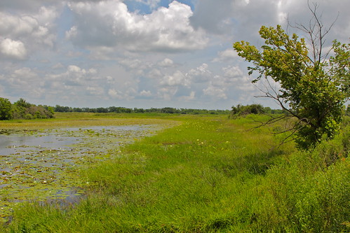
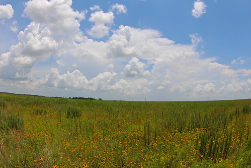
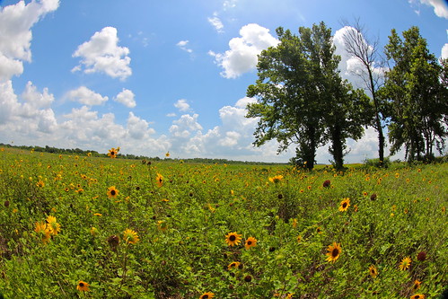
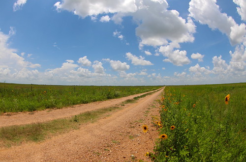
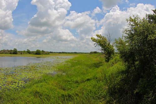
Elevation of E Main St, Eagle Lake, TX, USA
Location: United States > Texas > Colorado County > Eagle Lake >
Longitude: -96.207230
Latitude: 29.606743
Elevation: 48m / 157feet
Barometric Pressure: 101KPa
Related Photos:
Topographic Map of E Main St, Eagle Lake, TX, USA
Find elevation by address:

Places near E Main St, Eagle Lake, TX, USA:
County Road 274
14704 County Rd 272
Wallis
Commerce St, Wallis, TX, USA
Eagle Nest Acres Drive & Jacqueline Street
503 Lakeview Dr
15238 Jo Ann Ln
707 Lakeview Dr
14449 Sycamore Cir
Bernard Timbers
3175 Austin Colony Rd
38700 W Boothill Rd
5730 Coody Ln
124 Wrangler Rd
Buckskin Road
2704 Guyler Rd
Wrangler Road
Wrangler Road
Wrangler Road
Wrangler Road
Recent Searches:
- Elevation of Corso Fratelli Cairoli, 35, Macerata MC, Italy
- Elevation of Tallevast Rd, Sarasota, FL, USA
- Elevation of 4th St E, Sonoma, CA, USA
- Elevation of Black Hollow Rd, Pennsdale, PA, USA
- Elevation of Oakland Ave, Williamsport, PA, USA
- Elevation of Pedrógão Grande, Portugal
- Elevation of Klee Dr, Martinsburg, WV, USA
- Elevation of Via Roma, Pieranica CR, Italy
- Elevation of Tavkvetili Mountain, Georgia
- Elevation of Hartfords Bluff Cir, Mt Pleasant, SC, USA
