Elevation of Bernard Timbers, East Bernard, TX, USA
Location: United States > Texas > Wharton County > East Bernard >
Longitude: -96.048066
Latitude: 29.5458407
Elevation: 38m / 125feet
Barometric Pressure: 101KPa
Elevation Map:
Satellite Map:
Related Photos:

Two KCS locomotives, silhouette view

Hoppers at KCS Rosenberg Intermodal Terminal

Switching at KCS Rosenberg Intermodal Terminal

KCS diesel power

Who is Corey Brooks?

The muddy waters of the Brazos River

East Bernard, TX
Texas Spring

Subaru Forester Sunset - Orchard, Texas

KCS manifest train, Kendleton TX

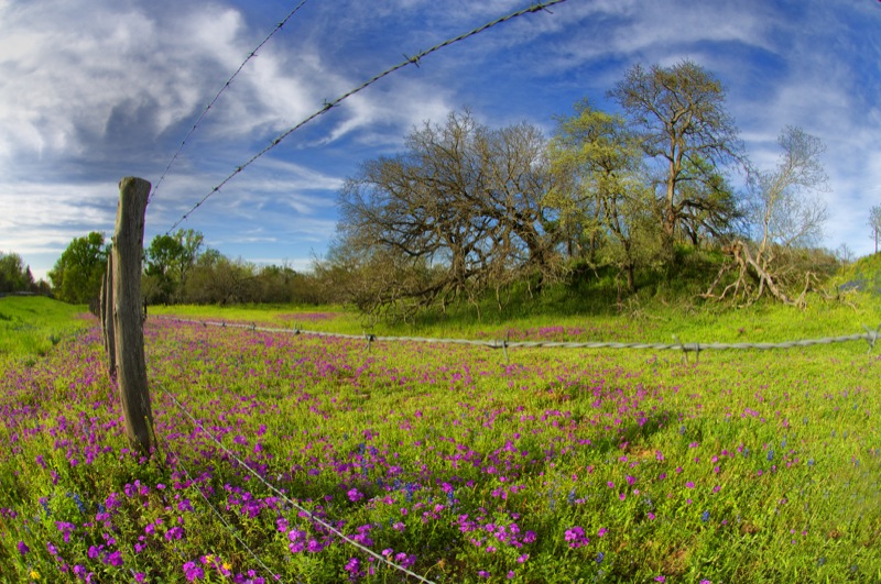
Prairie Fences

Pipeline Suspension Bridge over the Brazos, Wallis, Texas 1408231204

Cotton harvest, Austin County TX

Harvesting cotton near Wallis TX

Manifest freight in Kendleton TX

Harvesting cotton near Wallis TX

On a photography adventure with @sapurahlashari

Moar Natural Complexity
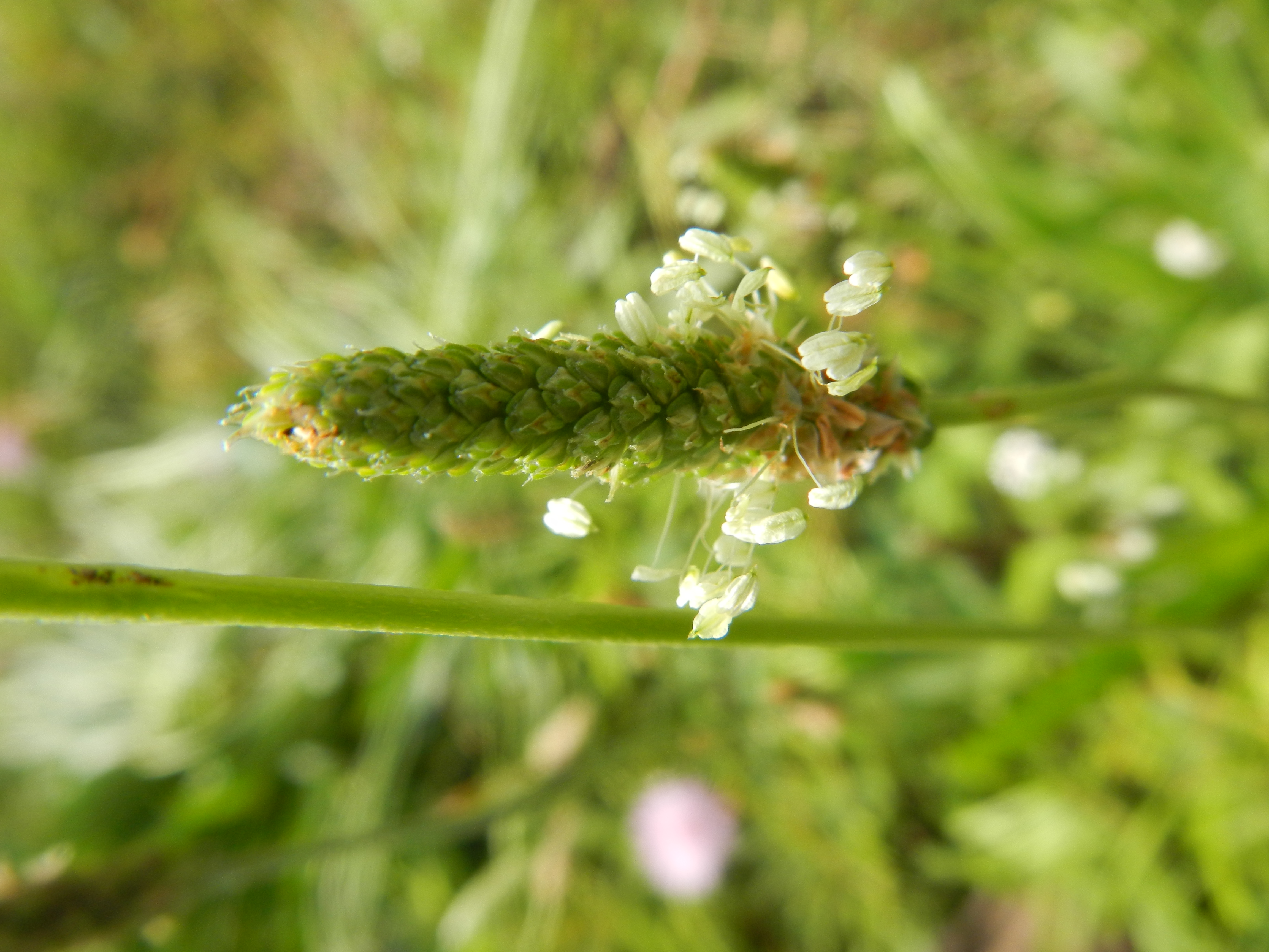
DSCN2173.JPG
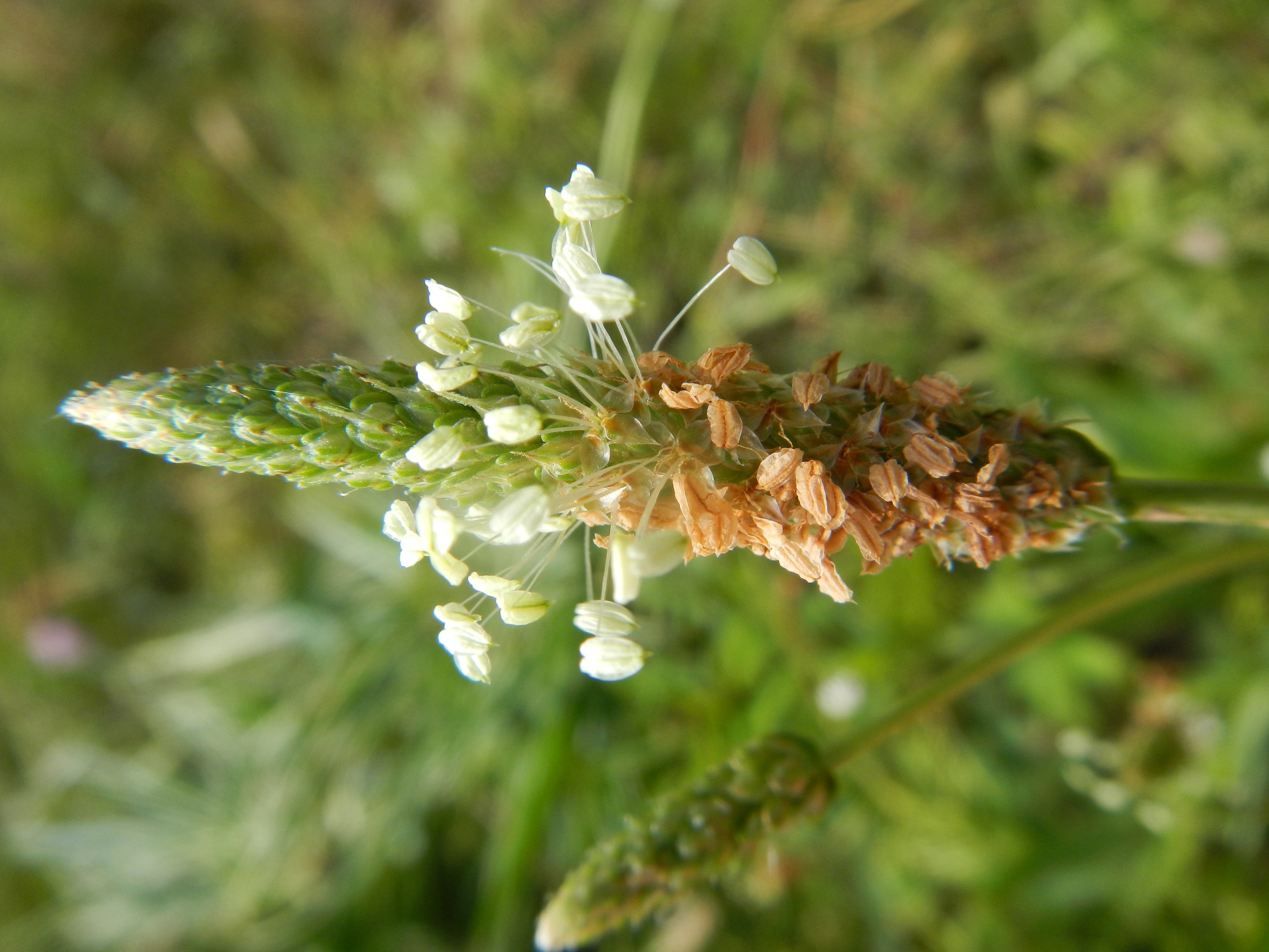
DSCN2175.JPG
Topographic Map of Bernard Timbers, East Bernard, TX, USA
Find elevation by address:

Places near Bernard Timbers, East Bernard, TX, USA:
14449 Sycamore Cir
Eagle Nest Acres Drive & Jacqueline Street
County Road 274
14704 County Rd 272
15238 Jo Ann Ln
503 Lakeview Dr
Commerce St, Wallis, TX, USA
Wallis
707 Lakeview Dr
2704 Guyler Rd
3711 Brundrett Rd
3627 Brundrett Rd
3175 Austin Colony Rd
Brundrett Road
38700 W Boothill Rd
124 Wrangler Rd
Wrangler Road
Wrangler Road
Wrangler Road
Wrangler Road
Recent Searches:
- Elevation of Corso Fratelli Cairoli, 35, Macerata MC, Italy
- Elevation of Tallevast Rd, Sarasota, FL, USA
- Elevation of 4th St E, Sonoma, CA, USA
- Elevation of Black Hollow Rd, Pennsdale, PA, USA
- Elevation of Oakland Ave, Williamsport, PA, USA
- Elevation of Pedrógão Grande, Portugal
- Elevation of Klee Dr, Martinsburg, WV, USA
- Elevation of Via Roma, Pieranica CR, Italy
- Elevation of Tavkvetili Mountain, Georgia
- Elevation of Hartfords Bluff Cir, Mt Pleasant, SC, USA