Elevation of E Main St, Carson City, MI, USA
Location: United States > Michigan > Montcalm County > Carson City >
Longitude: -84.8460725
Latitude: 43.1769005
Elevation: 231m / 758feet
Barometric Pressure: 0KPa
Related Photos:
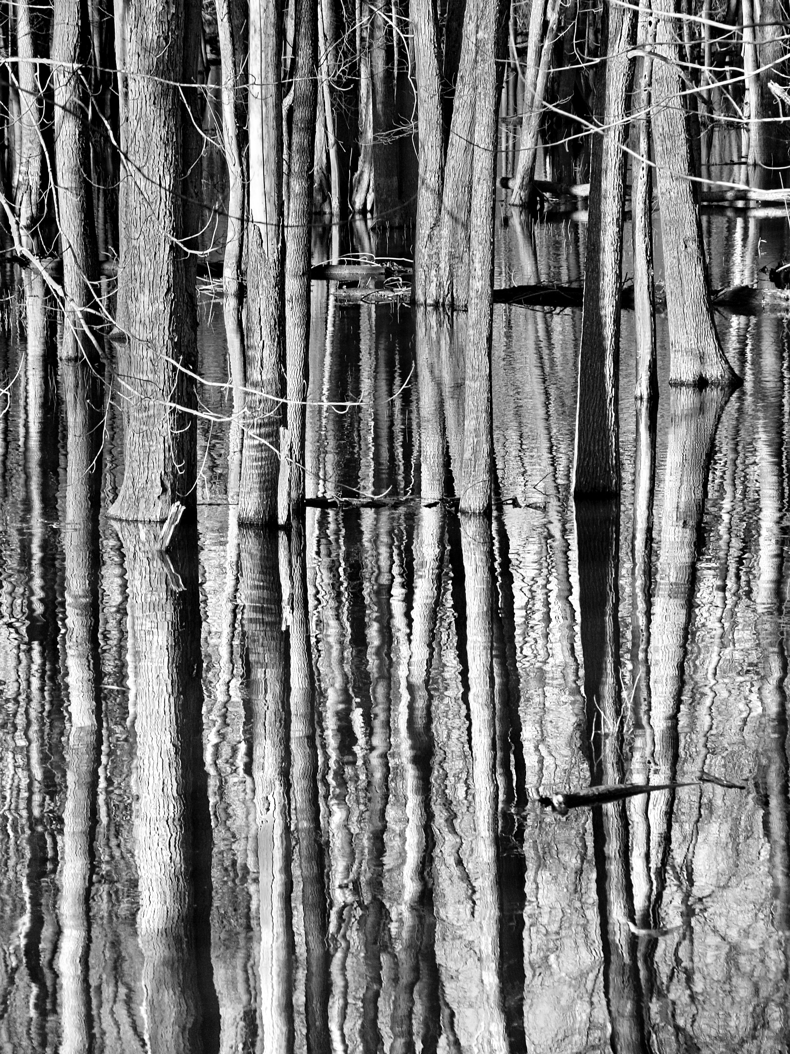
Wet Feet

Lakesets.

On thin ice.
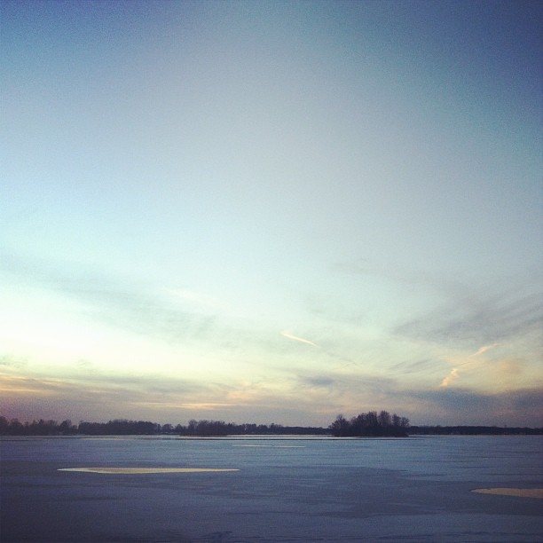
Dusk.

Sunset at the lake

Independence Day 2007 - IMGP0524.jpg

Misty Sunrise on a Loon Lake Morning

The Thin Twins - Loon Lake Morning
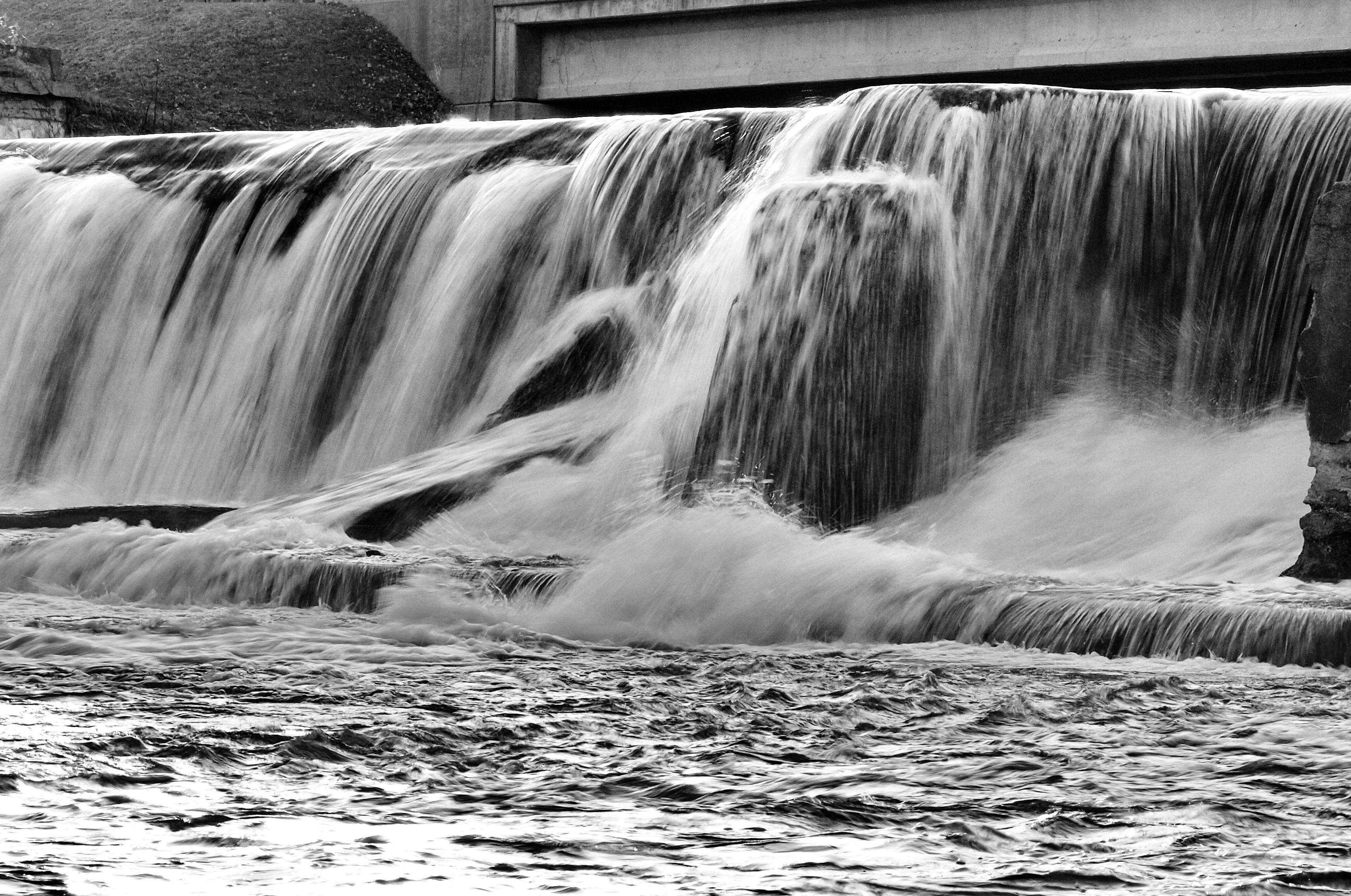
Hubbardston Dam

Sunrises and Turtle Heads - Loon Lake Morning
Topographic Map of E Main St, Carson City, MI, USA
Find elevation by address:

Places near E Main St, Carson City, MI, USA:
Carson City
Bloomer Township
9643 Blackmer Rd
542 N Shore Dr
4166 N Jones Rd
Sumner Township
Dallas Township
Gratiot County
4485 N Pingree Rd
11251 W 4th St
Fowler
Arcada Township
4340 N Winans Rd
Sheridan
Ionia Township
3300 W Tyler Rd
W Fulton Ave, Ashley, MI, USA
80 Tingley Rd, Orleans, MI, USA
Ionia County
Ithaca
Recent Searches:
- Elevation map of Greenland, Greenland
- Elevation of Sullivan Hill, New York, New York, 10002, USA
- Elevation of Morehead Road, Withrow Downs, Charlotte, Mecklenburg County, North Carolina, 28262, USA
- Elevation of 2800, Morehead Road, Withrow Downs, Charlotte, Mecklenburg County, North Carolina, 28262, USA
- Elevation of Yangbi Yi Autonomous County, Yunnan, China
- Elevation of Pingpo, Yangbi Yi Autonomous County, Yunnan, China
- Elevation of Mount Malong, Pingpo, Yangbi Yi Autonomous County, Yunnan, China
- Elevation map of Yongping County, Yunnan, China
- Elevation of North 8th Street, Palatka, Putnam County, Florida, 32177, USA
- Elevation of 107, Big Apple Road, East Palatka, Putnam County, Florida, 32131, USA
- Elevation of Jiezi, Chongzhou City, Sichuan, China
- Elevation of Chongzhou City, Sichuan, China
- Elevation of Huaiyuan, Chongzhou City, Sichuan, China
- Elevation of Qingxia, Chengdu, Sichuan, China
- Elevation of Corso Fratelli Cairoli, 35, Macerata MC, Italy
- Elevation of Tallevast Rd, Sarasota, FL, USA
- Elevation of 4th St E, Sonoma, CA, USA
- Elevation of Black Hollow Rd, Pennsdale, PA, USA
- Elevation of Oakland Ave, Williamsport, PA, USA
- Elevation of Pedrógão Grande, Portugal