Elevation of E Main St, Ada, OK, USA
Location: United States > Oklahoma > Pontotoc County > Ada >
Longitude: -96.677986
Latitude: 34.774366
Elevation: 309m / 1014feet
Barometric Pressure: 98KPa
Elevation Map:
Satellite Map:
Related Photos:

“Die when I may, I want it said by those who knew me best that I always plucked a thistle and planted a flower where I thought a flower would grow.” Abraham Lincoln

WinterStorm2010_30Jan2010 001
New (yes, another) office view. Just moved in. Gonna need a bigger fan...

KitchenDiningReno_26Apr2009_ 001
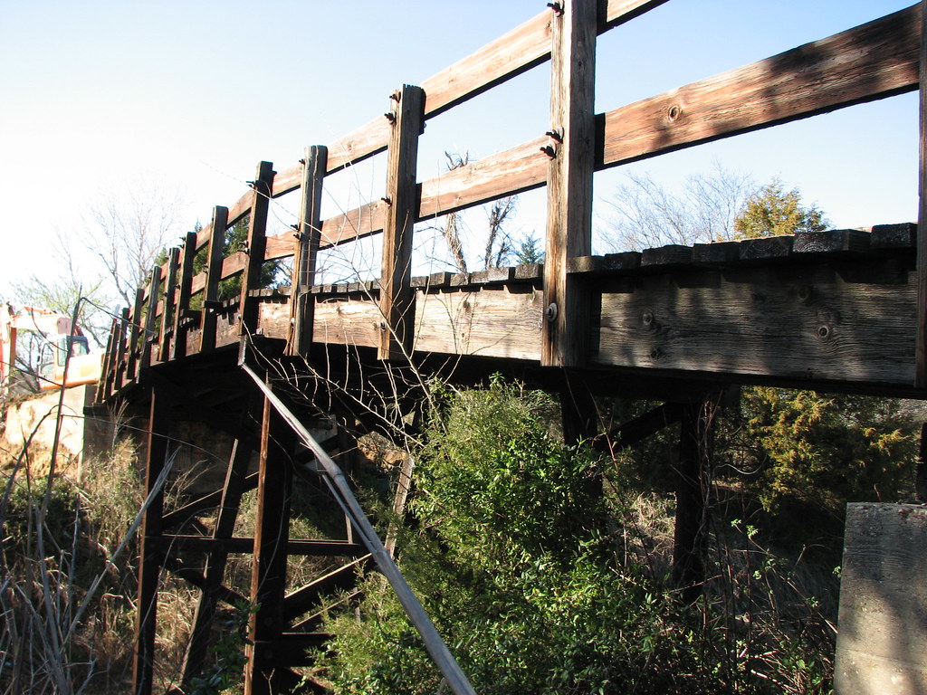
12th Street Bridge- Side view of Deck
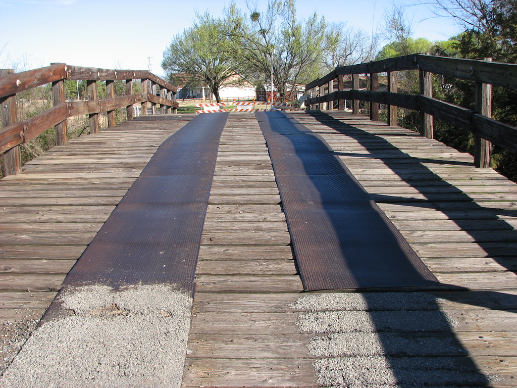
12th Street Bridge-Deck View

Fog filling the valley South of LegalShield.

11-11-11

FebSnow_11Feb2010 031

Horses in Ada, OK 2014-03-16 12.16.13

Winter Abyss (Color)

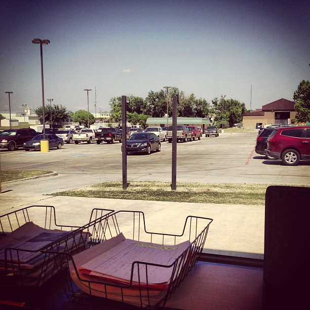
Looking south from the 7th floor stairwell at LegalShield.

Winter Abyss (B&W)

JulyCookout_16July2010 003

JulyCookout_16July2010 001

Egypt Cemetery (06)
Topographic Map of E Main St, Ada, OK, USA
Find elevation by address:

Places near E Main St, Ada, OK, USA:
Ada
Pontotoc County
New Bethel Blvd, Byng, OK, USA
Konawa
West Main Street
Sacred Heart Rd, Konawa, OK, USA
Ew 1355
Asher
Seminole County
OK-59, Asher, OK, USA
1224 E 3rd St
Sulphur
914 County Redbud
Inca Head Start
777 Redbud Rd
Bromide Hill
E Main St, Holdenville, OK, USA
Holdenville
211 N Broadway St
199 Buckhorn Rd
Recent Searches:
- Elevation of Corso Fratelli Cairoli, 35, Macerata MC, Italy
- Elevation of Tallevast Rd, Sarasota, FL, USA
- Elevation of 4th St E, Sonoma, CA, USA
- Elevation of Black Hollow Rd, Pennsdale, PA, USA
- Elevation of Oakland Ave, Williamsport, PA, USA
- Elevation of Pedrógão Grande, Portugal
- Elevation of Klee Dr, Martinsburg, WV, USA
- Elevation of Via Roma, Pieranica CR, Italy
- Elevation of Tavkvetili Mountain, Georgia
- Elevation of Hartfords Bluff Cir, Mt Pleasant, SC, USA