Elevation of E Frontage Rd, Virden, IL, USA
Location: United States > Illinois > Montgomery County > Bois D'arc Township >
Longitude: -89.643728
Latitude: 39.5086149
Elevation: 193m / 633feet
Barometric Pressure: 99KPa
Elevation Map:
Satellite Map:
Related Photos:

Auburn IL - Auburn Presbyerian Church (1 of 2)
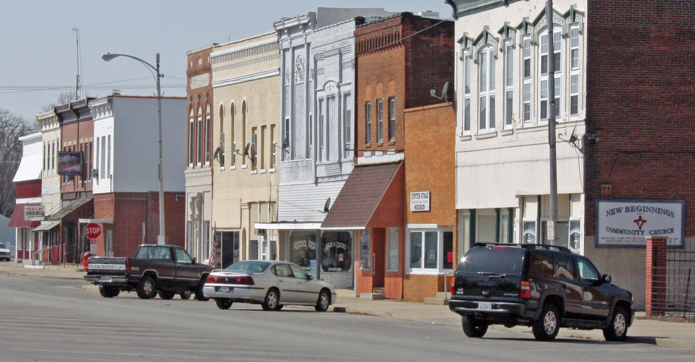
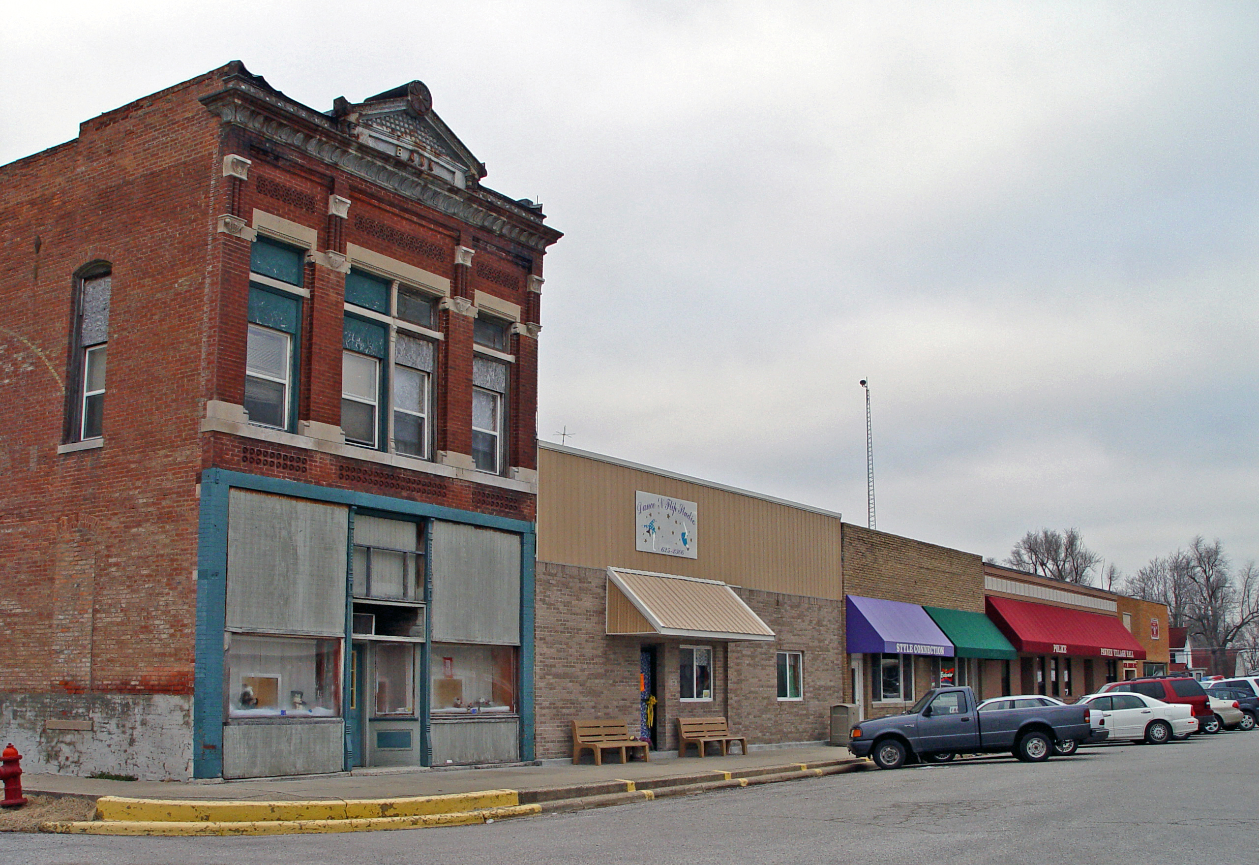
Girard IL - North Side of Square

Girard IL - First Baptist Church on W. Madison St.
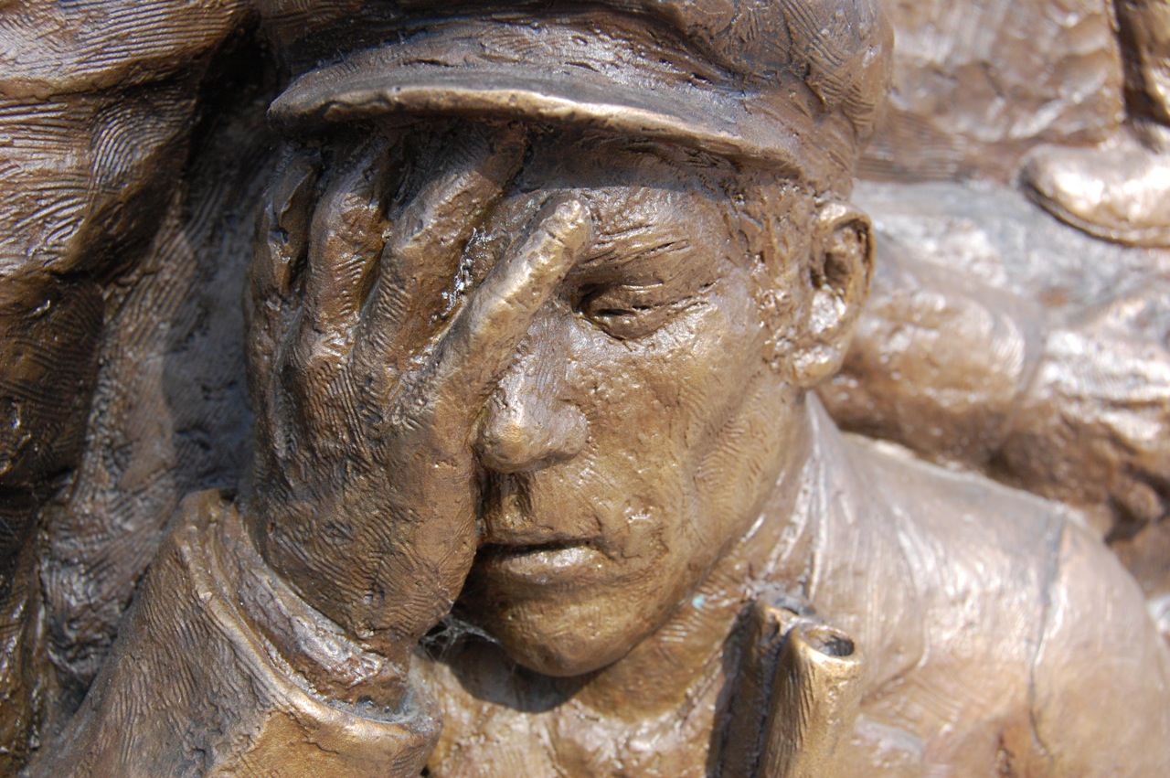
Virden Massacre Memorial
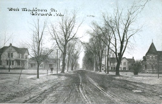
Girard IL - Old Postcard View of W. Madison St., Residential Section

Auburn IL - Auburn Baptist Church (2 of 2)

Girard IL - West Side of Square
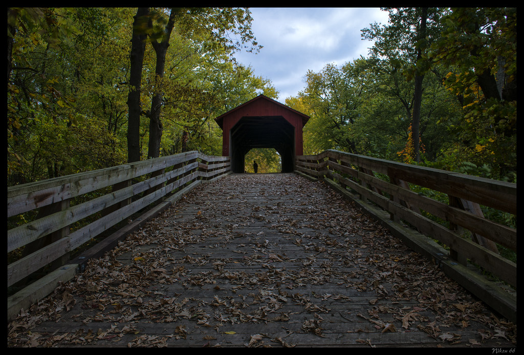
Sugar Creek Covered Bridge - No. 3
Illinois Central #9350, Farmersville, Illinois
Sugar Creek Covered Bridge - No. 1
Illinois Terminal Depot, Girard, Illinois #1
Sugar Creek Covered Bridge - No. 2

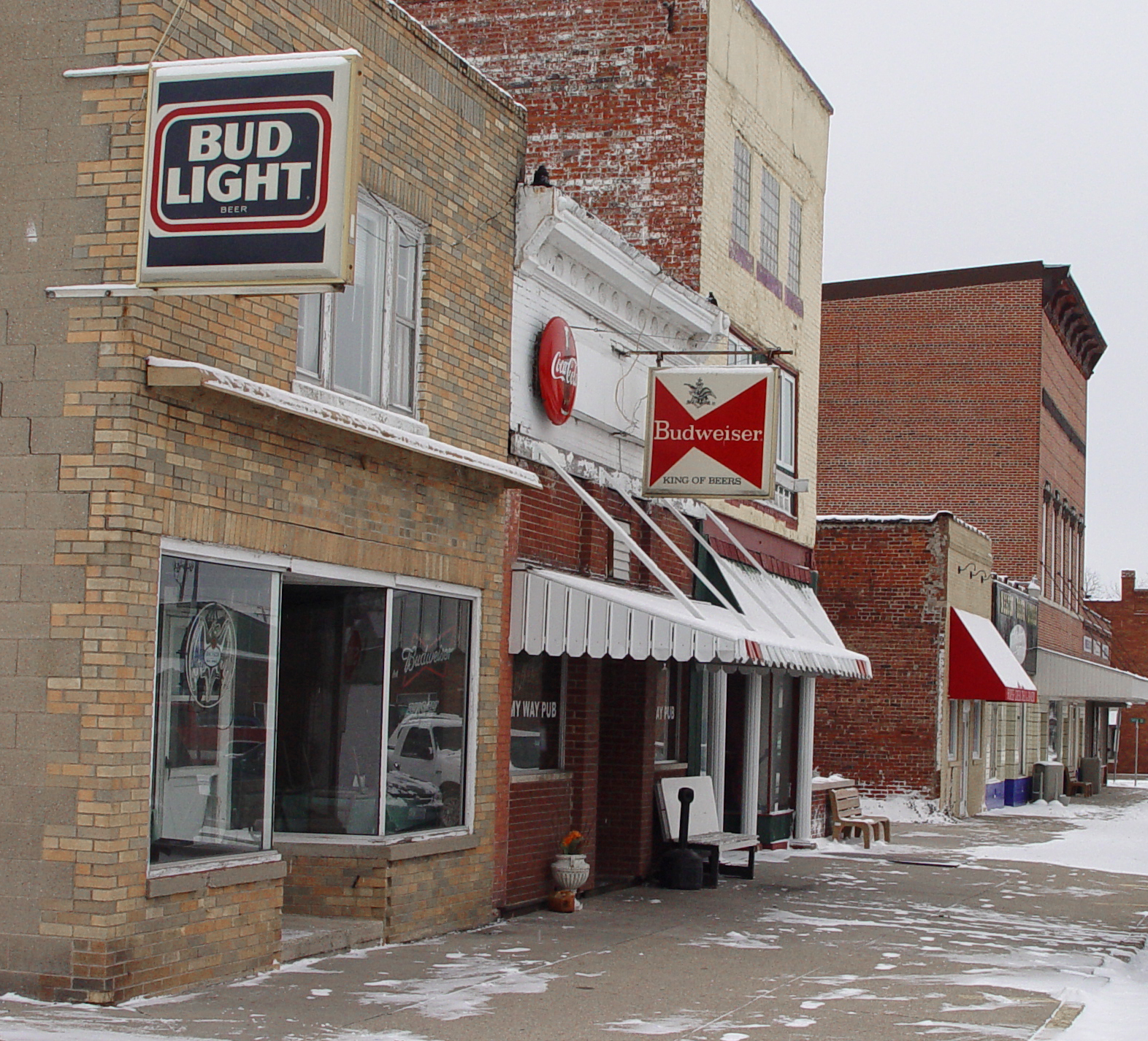
Brick 66

View from Megabus

~A River Runs Through It~

Glenarm IL - Former Methodist Church
Pawnee IL - West Side of Square

Virden Massacre Memorial

2011-05-29 18.31.52
Pawnee IL - North Side of Square (4 of 7)
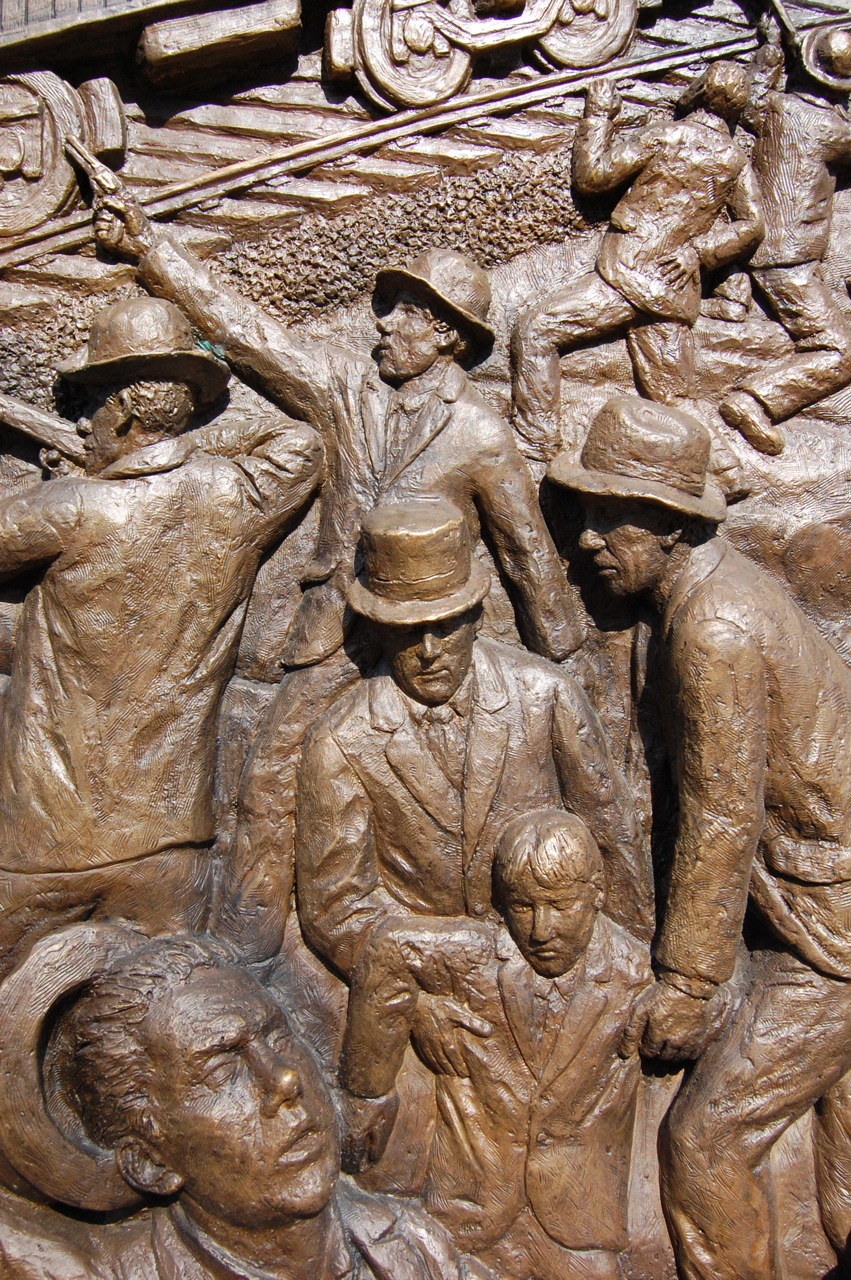
Virden Massacre Memorial
rolling thunder
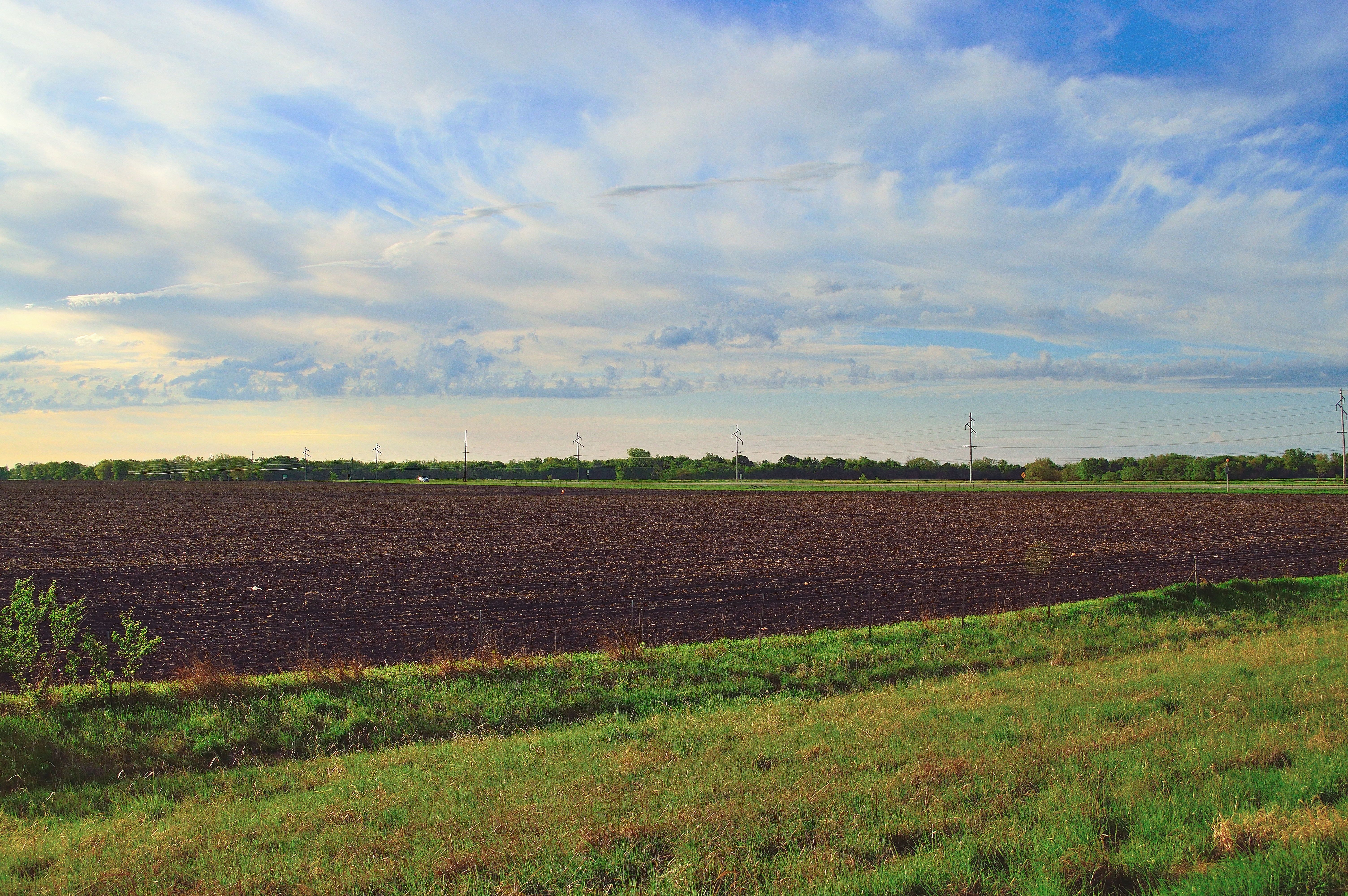
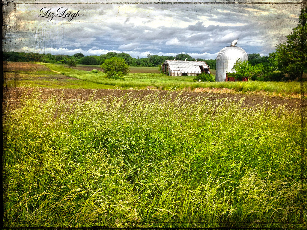
the good earth

Ready For Planting #farm #farmland #centralillinois #sky #clouds #spring #lgg3cellcamera
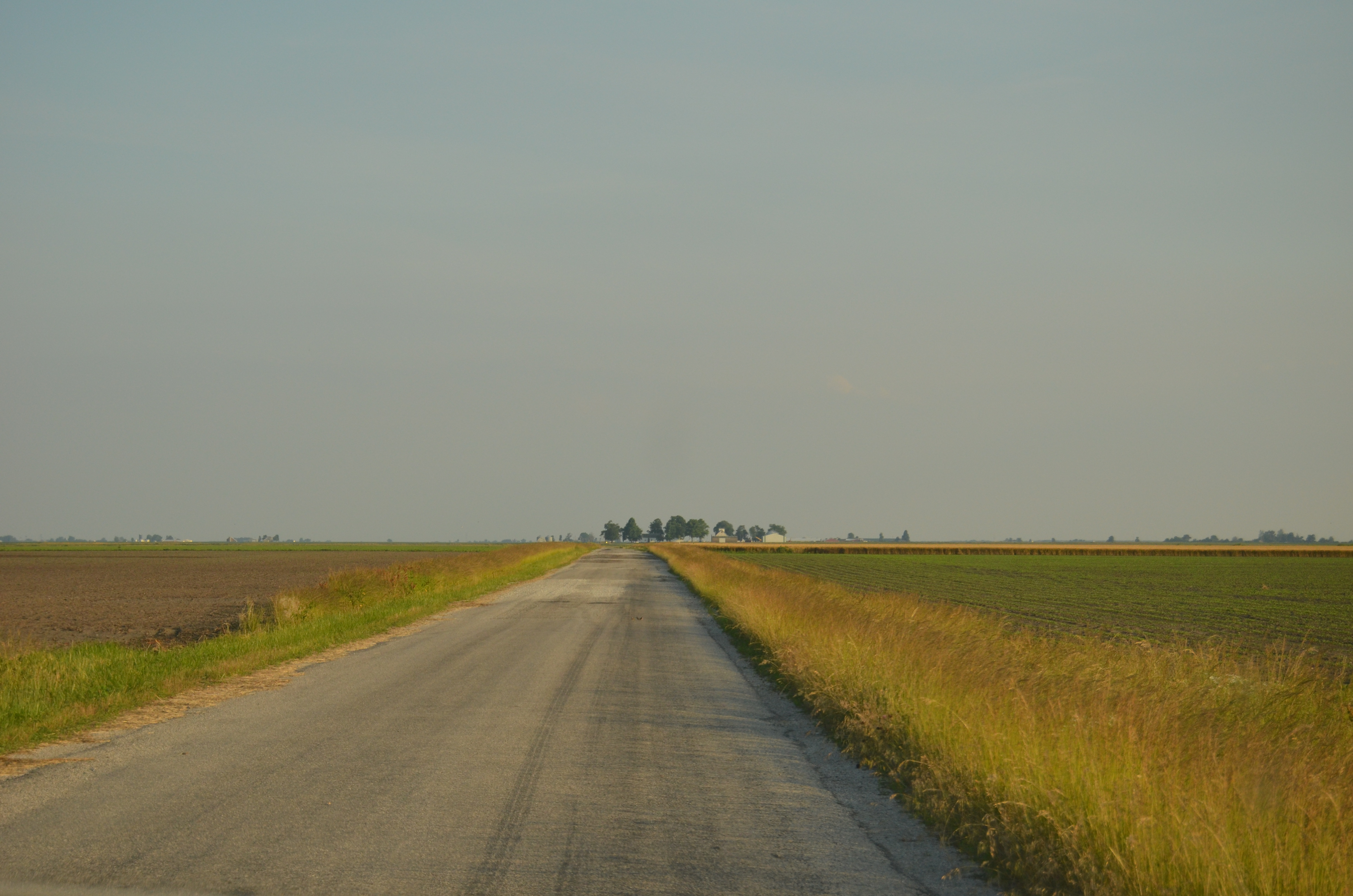
Endless roads

~Sunset~
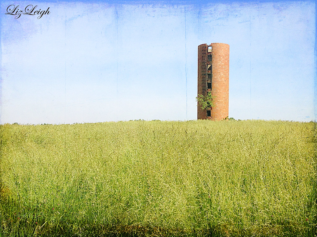
empty tower
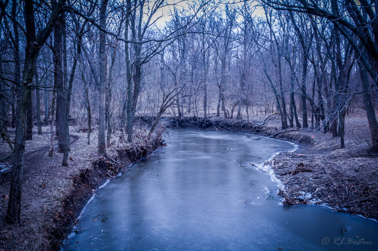
Sugar Creek
fading away

Like a puzzle
Walking in silence

Girard IL - Whirl-A-Whip (5 of 5)
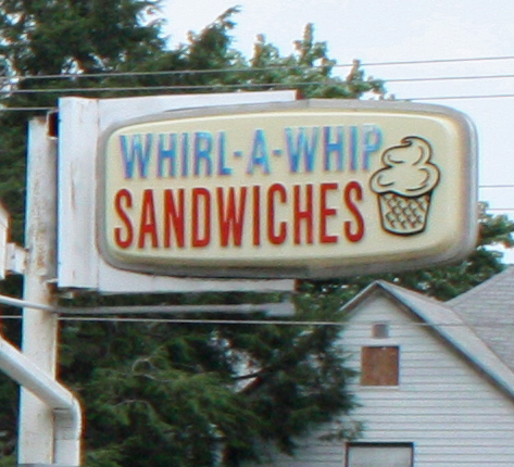
Girard IL - Whirl-A-Whip (2 of 5)
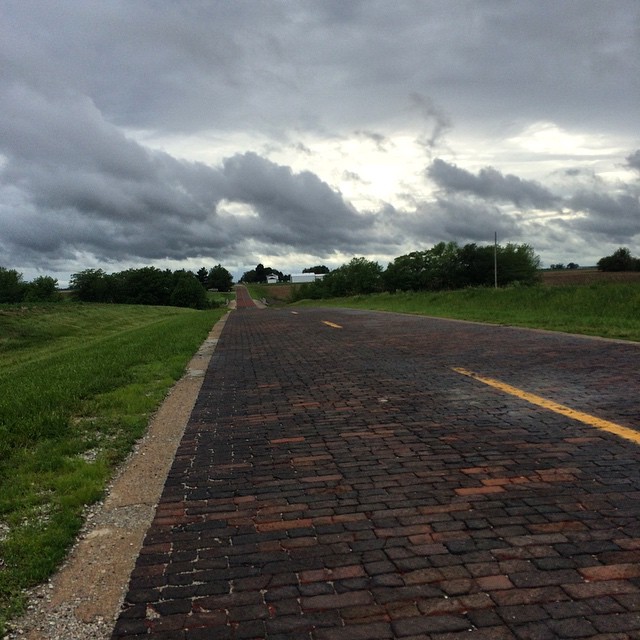
This is the last portion of Route 66 still made of bricks. #ObscuraDay

IL Girard - Route 66
DSC_1741.JPG
IL Girard - Route 66

Old Route 66, north of Auburn, IL. Very smooth brick paving.
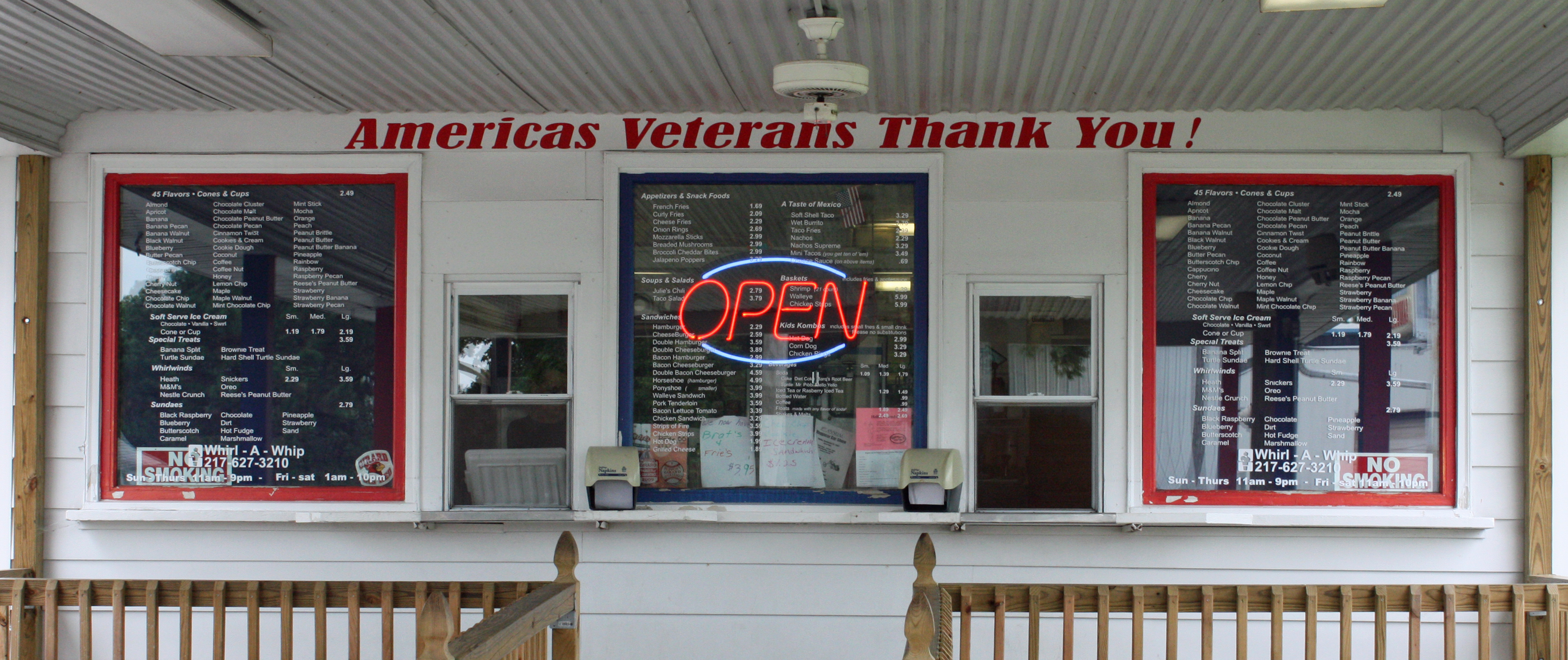
Girard IL - Whirl-A-Whip (4 of 5)
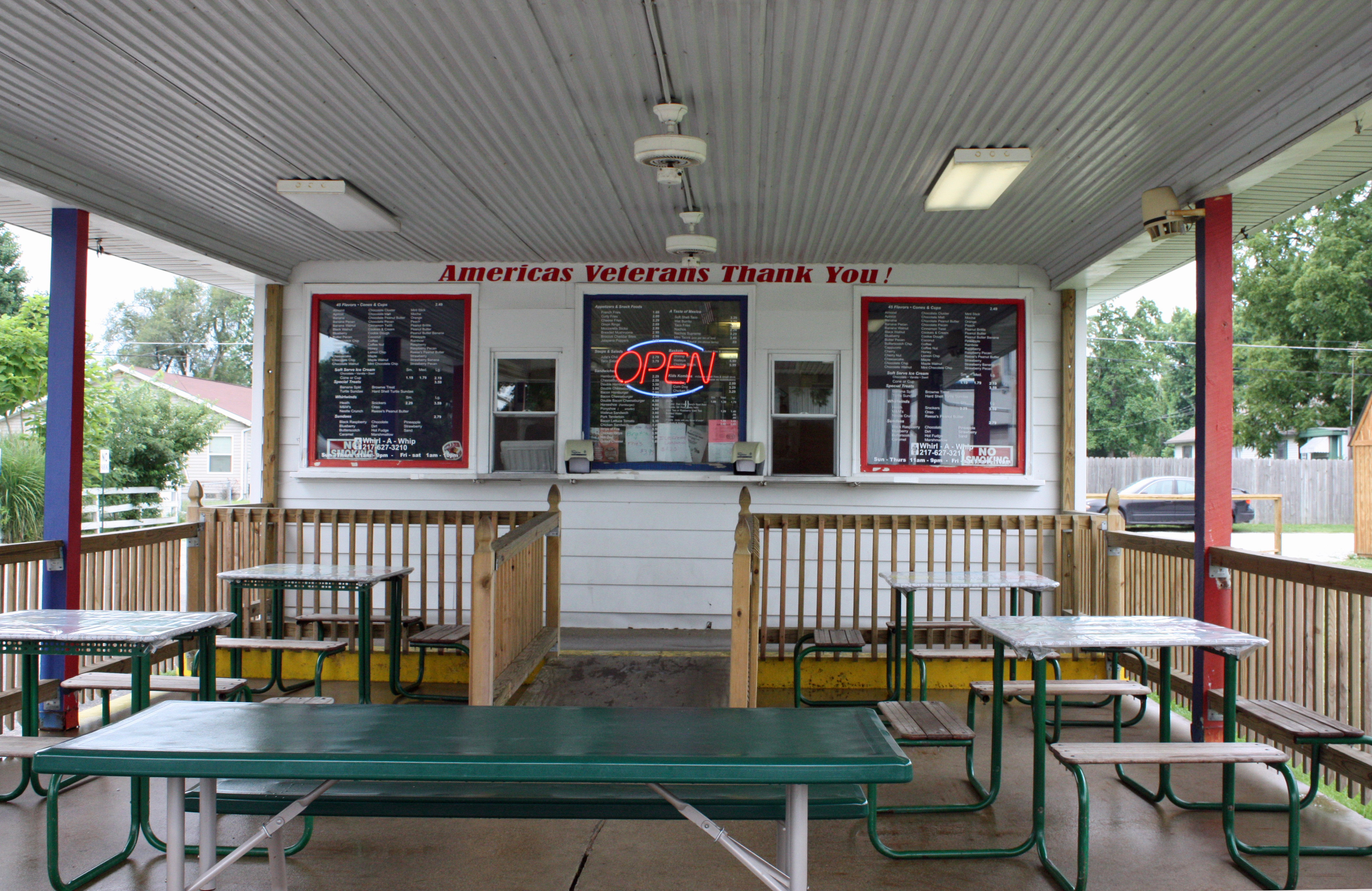
Girard IL - Whirl-A-Whip (3 of 5)

Girard IL - Whirl-A-Whip (1 of 5)
Topographic Map of E Frontage Rd, Virden, IL, USA
Find elevation by address:

Places near E Frontage Rd, Virden, IL, USA:
Divernon Township
Bois D'arc Township
S 1st St, Divernon, IL, USA
Divernon
Main St, Farmersville, IL, USA
County Rd N, Pawnee, IL, USA
IL-, Divernon, IL, USA
Bobby Dr, Divernon, IL, USA
Pawnee
Lincoln St, Pawnee, IL, USA
Pawnee Township
County Rd 6 E, Pawnee, IL, USA
Glenarm
Main St, Glenarm, IL, USA
Auburn Township
Harrison Ave, Auburn, IL, USA
Virden
Van Ave, Virden, IL, USA
Waggoner
Auburn
Recent Searches:
- Elevation of Corso Fratelli Cairoli, 35, Macerata MC, Italy
- Elevation of Tallevast Rd, Sarasota, FL, USA
- Elevation of 4th St E, Sonoma, CA, USA
- Elevation of Black Hollow Rd, Pennsdale, PA, USA
- Elevation of Oakland Ave, Williamsport, PA, USA
- Elevation of Pedrógão Grande, Portugal
- Elevation of Klee Dr, Martinsburg, WV, USA
- Elevation of Via Roma, Pieranica CR, Italy
- Elevation of Tavkvetili Mountain, Georgia
- Elevation of Hartfords Bluff Cir, Mt Pleasant, SC, USA