Latitude: 39.364579
Longitude: -96.858424
Elevation: 422 meters / 1385 feet
Barometric Pressure 964KPa

Related Photos

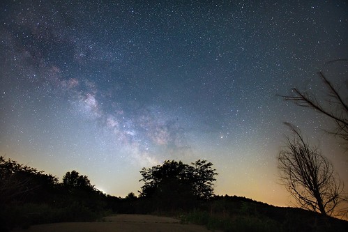
Milky Way by zoglmannk, Early this year I built a barn door tracker so that I could take longer exposures of the night time
Milky Way by zoglmannk
One-and-One-Half Story Limestone by ThomasWMutherJr, I was out and about all day today in rural Kansas, looking for interesting sites upon which to train
One-and-One-Half Story Limestone by ThomasWMutherJr
One-and-One-Half Story Limestone by ThomasWMutherJr, I was out and about all day today in rural Kansas, looking for interesting sites upon which to train
One-and-One-Half Story Limestone by ThomasWMutherJr
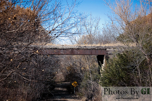
Abandoned Railroad Bridge by Photos by GI, Old abandoned railroad bridge near Riley, KSrailroad bridge trees plants usa fall abandoned sunshine
Abandoned Railroad Bridge by Photos by GI
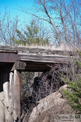
Abandoned Railroad Bridge by Photos by GI, Old abandoned railroad bridge near Riley, KSrailroad bridge trees plants usa fall abandoned sunshine
Abandoned Railroad Bridge by Photos by GI
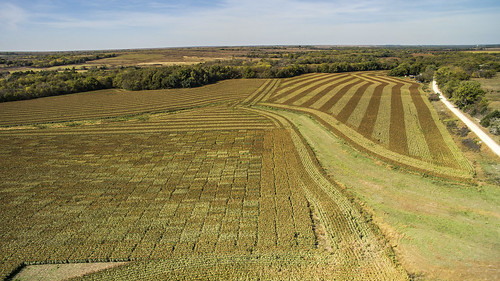
Milo Field by WillyKSU, Near Keats, Kansas taken with my DJI Phantom 3county riley milo kansas farmer manhattankansas dji qu
Milo Field by WillyKSU
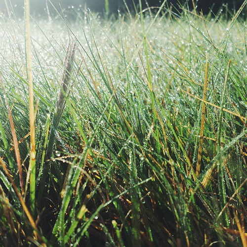
There was lots of dew on the grass yesterday morning when we woke up. It was quite pretty. by aithom2, square squareformat iphoneography instagramapp uploaded:by=instagram
There was lots of dew on the grass yesterday morning when we woke up. It was quite pretty. by aithom2
Flying Through Kansas by Clint Midwestwood, The light turned brilliant as we passed through the Flint Hills north of Fort Riley.kansas
Flying Through Kansas by Clint Midwestwood
Sunrise over Tuttle. by Tiffy D, Sunrise over Tuttle Creek Lake at the Fancy Creek State Park near Randolph, Ks.  sunrise river ks ka
Sunrise over Tuttle. by Tiffy D
Kansas Sunset by WillyKSU, North of Keats Kansas
Kansas Sunset by WillyKSU