Elevation of E Arrow Hwy, Covina, CA, USA
Location: United States > California > Los Angeles County > Covina >

Longitude: -117.88857

Latitude: 34.107204

Elevation: 180m / 591feet

Barometric Pressure: 99KPa

Elevation Map:

elevation map of E Arrow Hwy, Covina, CA, USA
Satellite Map:

Satellite map of E Arrow Hwy, Covina, CA, USA

Related Photos:

landscape urban city mountains sangabriel california monrovia outdoor mountainside road street ountain hill zajdowicz photoshop cellphone motorola droid turbo android smartphone cameraphone photoborder vignette building architecture roof trees palms automobiles cars sign letters words mountain foothill
Toto, we're not in Maryland anymore.
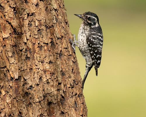
frankgbonelliregionalpark nuttallswoodpecker picoidesnuttallii female woodpecker sandimas california unitedstatesofamerica us
Nuttall's Woodpecker 1961
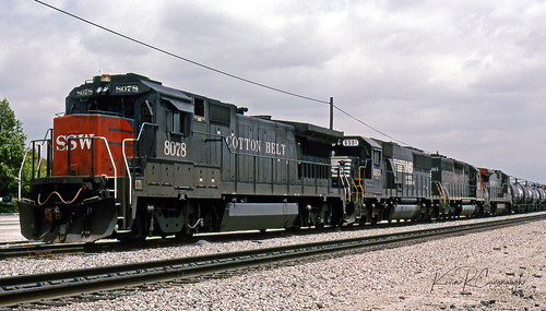
trains railroads southernpacific sp locomotive ge b408 emd sd50 sd40 sunsetroute walnut california
Thank You Clouds
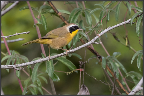
commonyellowthroat geothlypistrichas losangelescountyarboretum
Yellowthroat 3014
trains railroads southernpacific espee sp locomotive emd gp60 pomona california
Shiny - part 2
landscape nature photographersontumblr losanglescounty originalphotographers blackandwhitephotography naturephotography california photooftheday whalestongueagave northamerica landscapephotography photography agaveovatifolia outdoors outdoorphotography usa blackandwhite unitedstates agave arcadia us
Agave Ovatifolia, 2017
blackcrownednightheron frankgbonelliregionalpark bird heron wetlands wildlife sandimas california unitedstates us
Black-crowned Night Heron 0697
sangabrielmountains snow view arcadia
Snow in the San Gabriel Mountains
hotrodmagazinecarshow pomonaca carshow automobiles truck customcars
1958 Chevy Apache (with really big wheels)
sky rocks earth ilikethat nothinglastsforever
Nothing lasts for ever but the earth and sky.
california ca blue sky orange bird la losangeles aloe wildlife arboretum socal southerncalifornia avian arcadia laarboretum mockinbird northernmockinbird losangelescountyarboretumandbotanicalgarden
Northern Mockingbird Perched on Aloe - EXPLORE
losangeles countyfair pomona ferriswheel losangelescountyfair night noflash friedfood food fastfood junkfood
Candy Factory
losangelescountyfair pomona night noflash ferriswheel people crowd lacountyfair
Late Summer Night at the County Fair
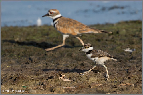
charadriusvociferus frankgbonelliregionalpark killdeer plover bird wildlife sandimas california unitedstates us
Young Killdeer 6577
2018 dualsport hermeshimalayan reh royalenfieldhimalayan touring black motorbike motorcycle motorrad pictograms hotel lime green blue aztec entrance storefront sidewalk roadtrip monrovia robertstacyjudd 1925 mayanrevivalstyle
Aztec Monrovia
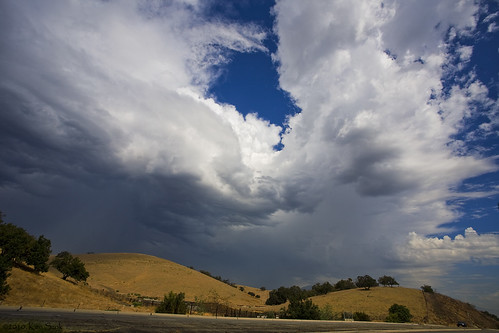
california clouds canon outdoors socal pomona canondslr cloudscapes inlandempire thunderstroms twtme thundrestorm canon1740f4lusmgroup naturallymagnificent kenszok
Storm Clouds over Brown Hills
california autumn canon pumpkin outdoors pumpkins autumncolors socal pomona canondslr calpoly inlandempire calpolypomona kenszok afhht
Cal Poly Pumpkin Patch Panorama
moon canon moo fullmoon 100400mm moonshot penisenvy 30d 400mm longlens flickrcards shootthemoon canon30d notcompensating mineisbiggerthanyours verylonglens 1792mm flickrcards50
Monstrosity Lens Setup - 1792mm Equivalent (Size Matters!)
losangeles arcadiaca lacountyarboretum queenannecottage palmtree lake
View From the Lagoon
california color clouds canon socal canondslr cloudscapes inlandempire mtsac thunderstroms anawesomeshot thundrestorm canon1740f4lusmgroup absolutelystunningscapes aphotographersnature kenszok
Storm Clouds over Building 66
gardens canon bench children landscape dream motionblur losangelescountyarboretum canon100mmmacrof28 imago2007 adobephotoshopcs6
in dreams
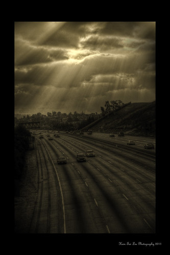
california road county winter sunset urban art nature rain bar clouds canon photography eos rebel 50mm liu los high ray shot traffic dynamic angeles f14 fine january 8 diamond explore southern tai freeway after usm xs range hsin hdr 57 2011 1000d ourdailychallenge
All One Color- Our Daily Challenge 1.8.11
We all Fall down
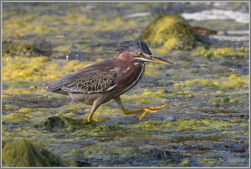
frankgbonelliregionalpark bird greenheron heron wetlands wildlife sandimas california unitedstates us
Striding with Purpose 4254
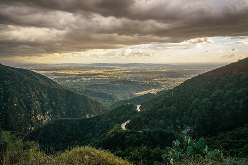
helipad sangabrielmountains angelesnationalforest fireroad chantryflats sanolene
Helipad view
366 365 landscape zajdowicz monrovia california
Morning Light Through the Marine Layer
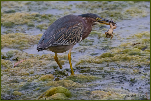
frankgbonelliregionalpark bird greenheron heron wetlands wildlife sandimas california unitedstates us
Green Heron with Breakfast 4013
cameraphone california street city urban mountains mobile landscape outdoor cellphone turbo socal smartphone motorola 365 monrovia android droid 366 photoshopexpress zajdowicz
San Gabriel Clouds
california sunset red sky cloud mountain clouds landscape colorful outdoor southerncalifornia rugged canong11 sangabrielnationalmonument
Distant Lands
bonellipark bonelliregionalpark firefightingaircraft aircraft puddingstonereservoir wildfire brushfire sandimas california 2017 canadair cl415 bombardier superscooper 247 cgqbk
SuperScooper 247
Razor Soft
california plants nature water beautiful la waterfall pond colorful peggy ©allrightsreserved losangelescountyarboretumandbotanicgarden ©peggyhughes
the waterfalls (painterly)
california sunset wilderness wtf southerncalifornia angelesnationalforest canonrebelxti condorinflight sangabrielnationalmonument glendoraridgemotorway
wild-3 (Explored on 5-02-15)
water bluesky southerncalifornia angelesnationalforest californiadrought sangabrielreservoir canong11 sangabrielnationalmonument
Water...What Water
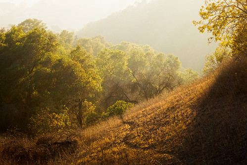
november autumn orange fall nature grass leaves canon woodland walking landscape outdoors oak hiking path powershot openspace southerncalifornia goldenhour goldenlight s100 losangelescounty rowlandheights puentehills lahabraheights powdercanyon
Golden California
charadriusvociferus frankgbonelliregionalpark killdeer plover bird wildlife sandimas california unitedstates us
The Next Generation 6123
bonelliregionalpark sandimas california birdwatching bonellipark bird socal 2017 leastsandpiper
Least Sandpiper