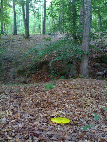
Elevation of Dunwoody Pl, Appling, GA, USA
Location: United States > Georgia > Columbia County > Appling >
Longitude: -82.4124
Latitude: 33.586332
Elevation: -10000m / -32808feet
Barometric Pressure: 295KPa
Related Photos:
Topographic Map of Dunwoody Pl, Appling, GA, USA
Find elevation by address:

Places near Dunwoody Pl, Appling, GA, USA:
3186 Marshall Rd
3725 Mistletoe Rd
Lakeside Drive
Lakeside Dr, Appling, GA, USA
3326 Tom Bartles Rd
Appling, GA, USA
492 Morris Pond Way
7107 Bill Dorn Rd
Appling Harlem Rd, Appling, GA, USA
Amity Recreation Area
Big Hart Campground Coe
Appling
Appling Harlem Rd, Appling, GA, USA
3855 Washington Rd
Woodlawn
Mcduffie County
1560 Appling Harlem Rd
1579 Ray Owens Rd
101 Barnett Way
Clarks Hill Lake
Recent Searches:
- Elevation of Corso Fratelli Cairoli, 35, Macerata MC, Italy
- Elevation of Tallevast Rd, Sarasota, FL, USA
- Elevation of 4th St E, Sonoma, CA, USA
- Elevation of Black Hollow Rd, Pennsdale, PA, USA
- Elevation of Oakland Ave, Williamsport, PA, USA
- Elevation of Pedrógão Grande, Portugal
- Elevation of Klee Dr, Martinsburg, WV, USA
- Elevation of Via Roma, Pieranica CR, Italy
- Elevation of Tavkvetili Mountain, Georgia
- Elevation of Hartfords Bluff Cir, Mt Pleasant, SC, USA

