Elevation of Dugas St, Lacassine, LA, USA
Location: United States > Louisiana > Calcasieu Parish > > Lacassine >
Longitude: -92.920521
Latitude: 30.2357292
Elevation: -10000m / -32808feet
Barometric Pressure: 295KPa
Elevation Map:
Satellite Map:
Related Photos:
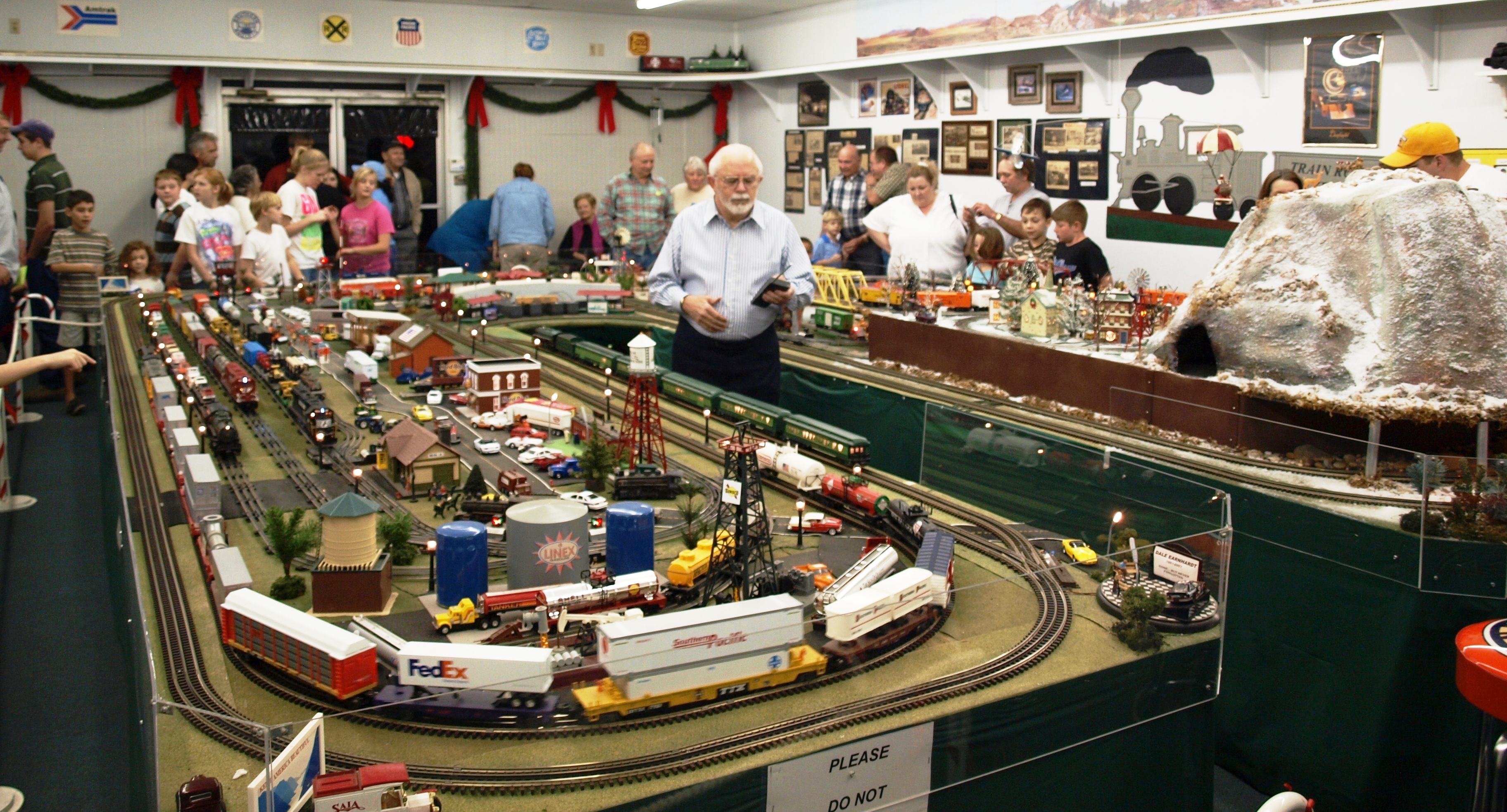
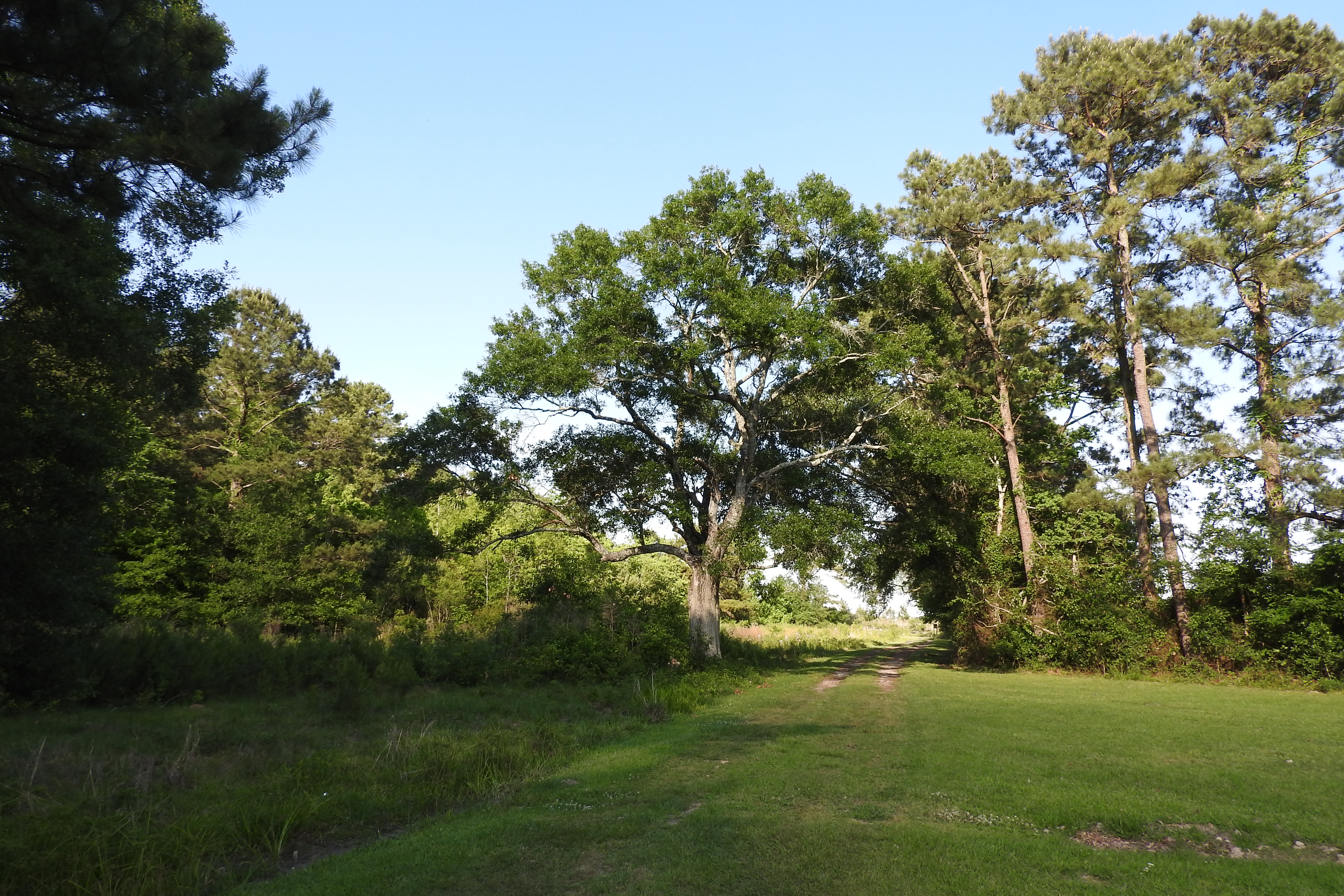
Joe's Train Room

LeConte's Sparrow
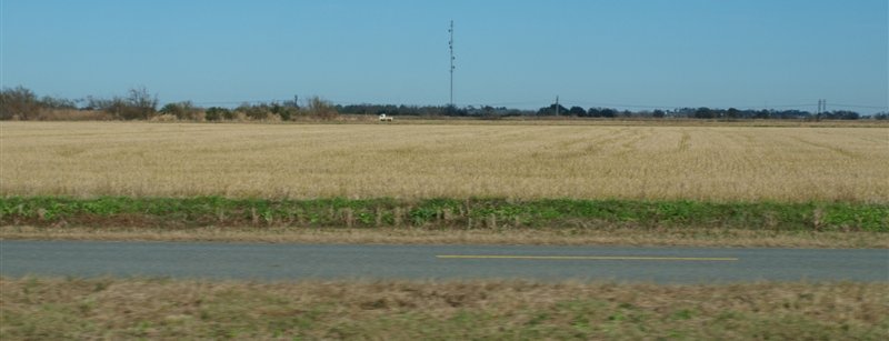
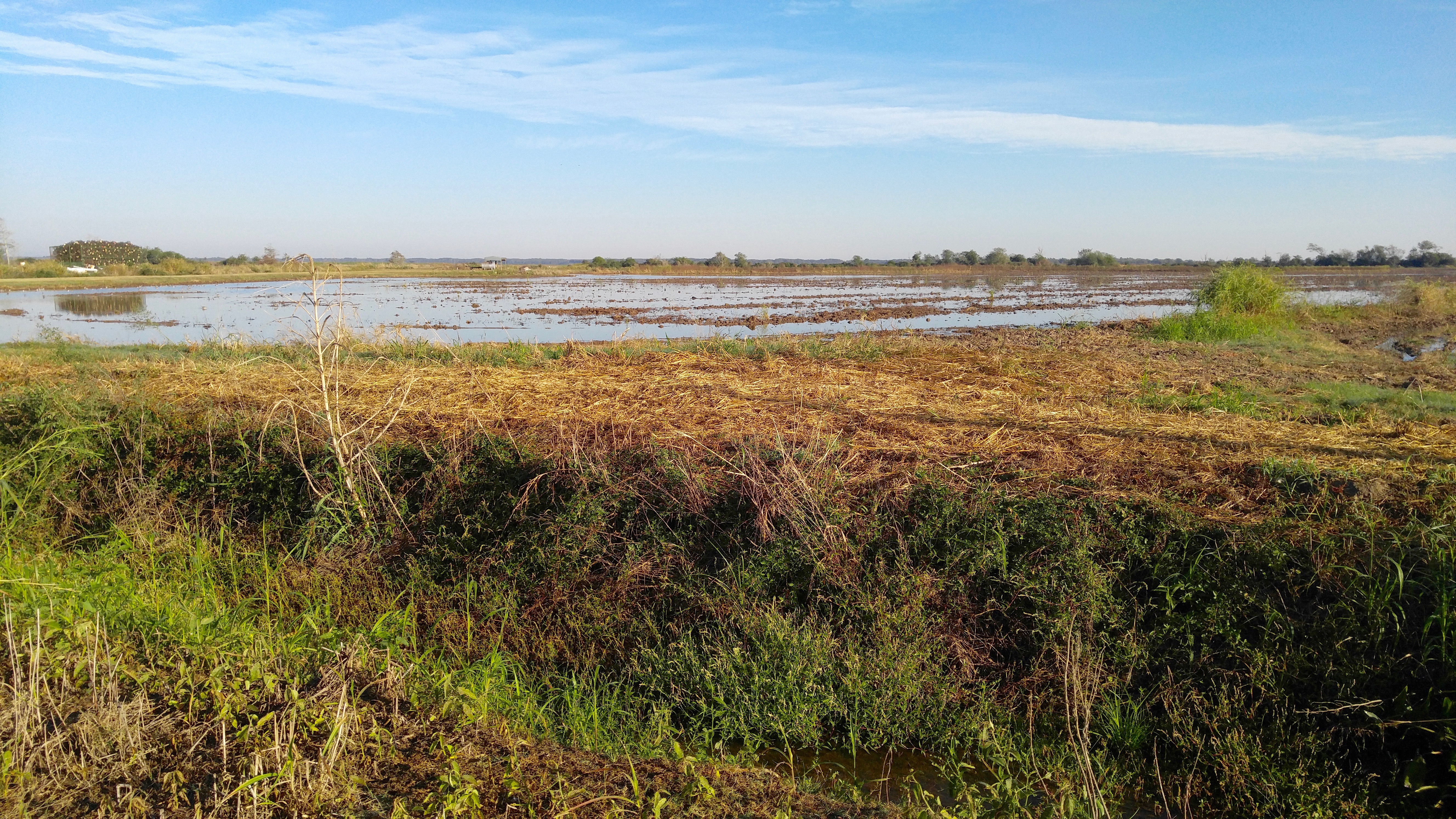
Rice field I think.JPG

2016:08:28 17:49:31 Flickr-352

Louisiana sugar cane

Louisiana fields.JPG
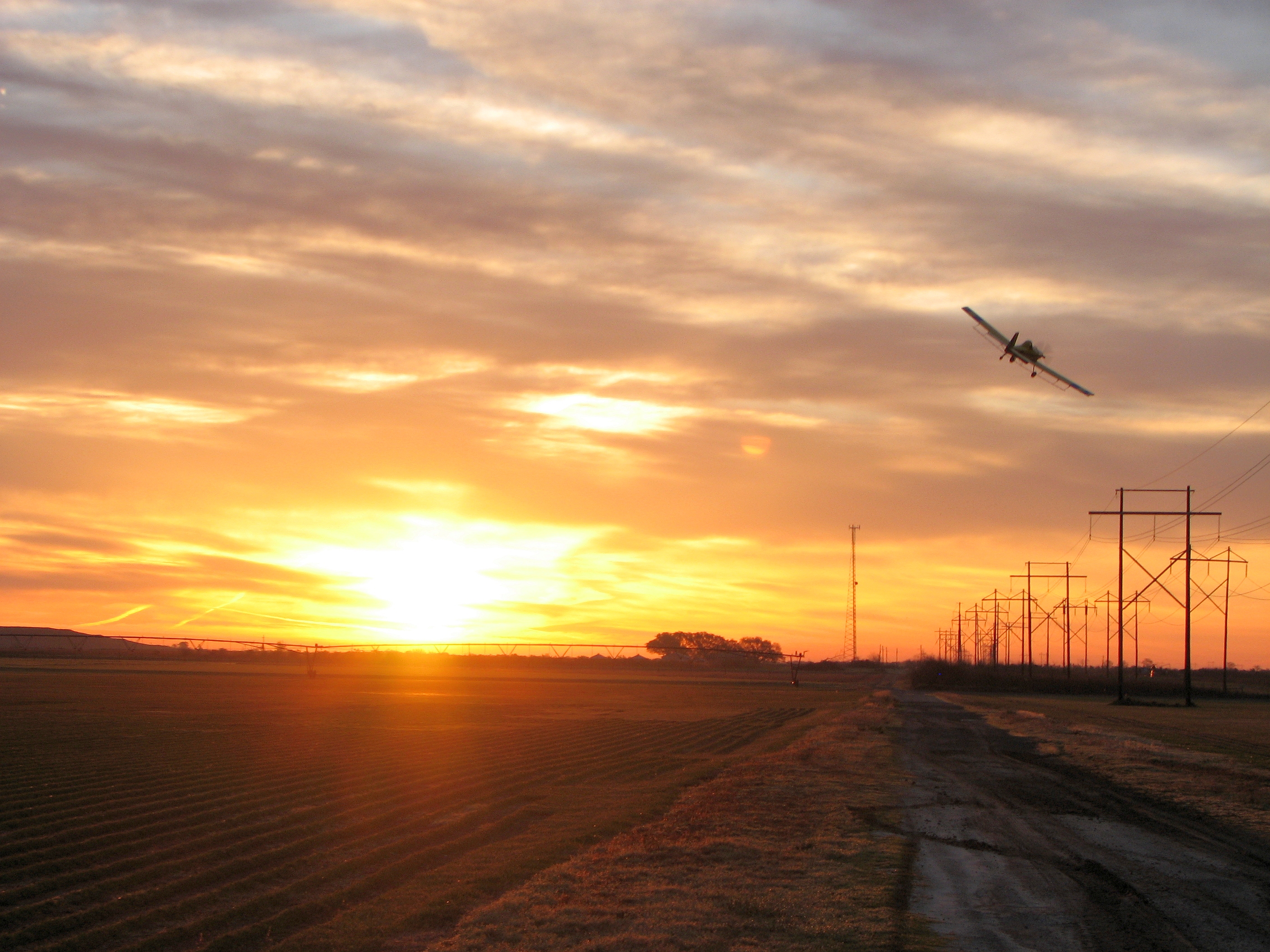
Air Tractor

Landfill Rd.

a IMG_1891

Atterberry Rd.

Jeff. Davis landfill

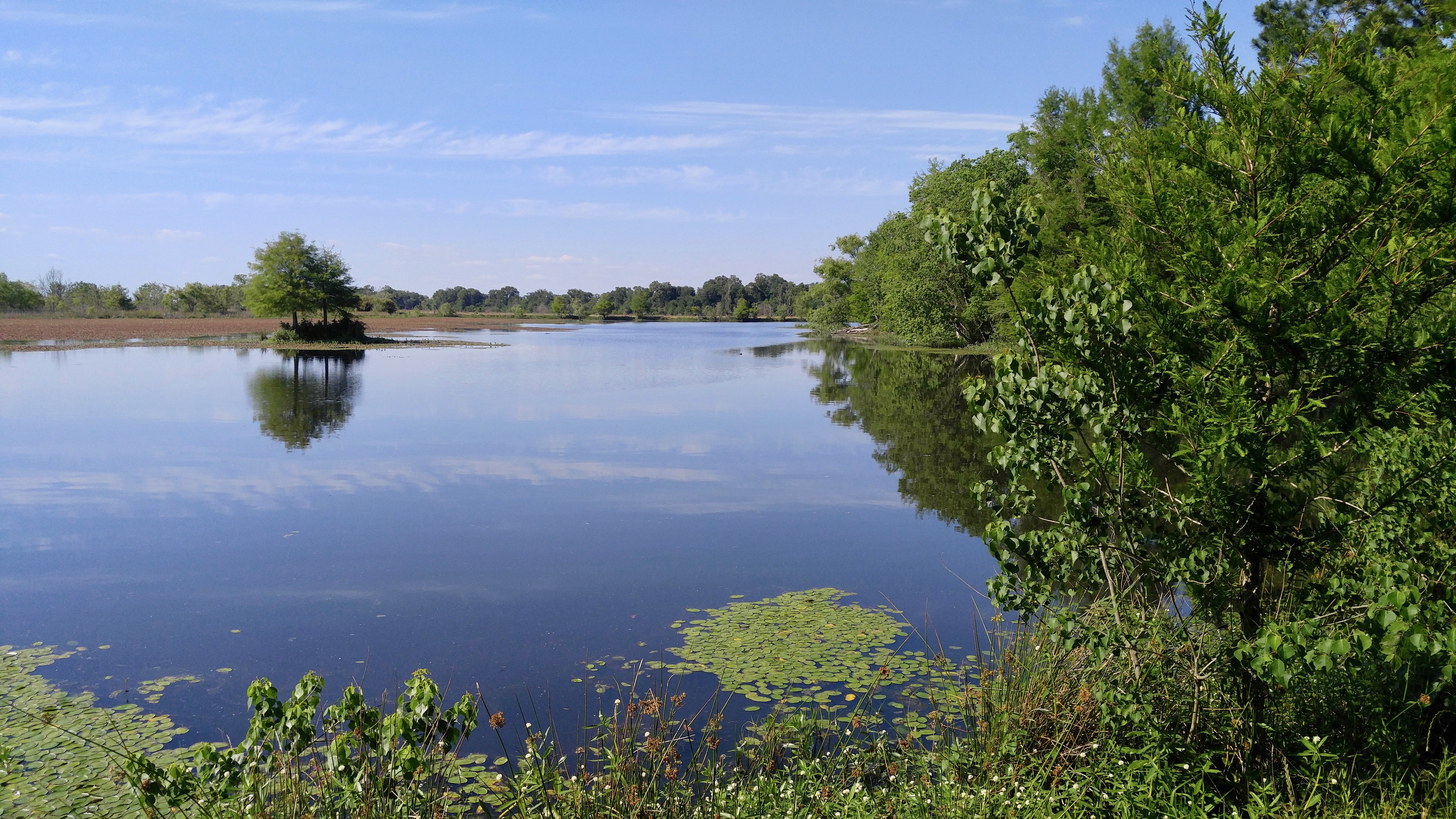
Out doing a little crawfishing.

W. Niblett Rd.

Landfill Rd.

La Motte Rd.

W. Niblett Rd.
Bellard Rd.

Atterberry Rd.
Ardoin Cove Cemetery

Landfill Rd.

Grass used by Pyrrhuloxia
Marceaux Rd.
Topographic Map of Dugas St, Lacassine, LA, USA
Find elevation by address:

Places near Dugas St, Lacassine, LA, USA:
Lacassine
14441 S Frontage Rd
604 Ash St
1002 Millard
Iowa
304 W Nichols St
Welsh
401 S Adams St
301 S Adams St
201 S Adams St
Ja Elle Drive
309 Jarrett St
202 Beaufort St
414 Cooper St
111 Bourgeois
Jefferson Davis Parish
10, LA, USA
Fenton
7248 Mark Lebleu Rd
7421 Sidney Leger Rd
Recent Searches:
- Elevation of Corso Fratelli Cairoli, 35, Macerata MC, Italy
- Elevation of Tallevast Rd, Sarasota, FL, USA
- Elevation of 4th St E, Sonoma, CA, USA
- Elevation of Black Hollow Rd, Pennsdale, PA, USA
- Elevation of Oakland Ave, Williamsport, PA, USA
- Elevation of Pedrógão Grande, Portugal
- Elevation of Klee Dr, Martinsburg, WV, USA
- Elevation of Via Roma, Pieranica CR, Italy
- Elevation of Tavkvetili Mountain, Georgia
- Elevation of Hartfords Bluff Cir, Mt Pleasant, SC, USA