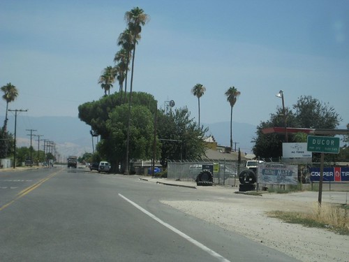
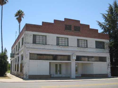
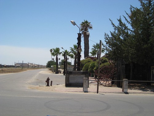
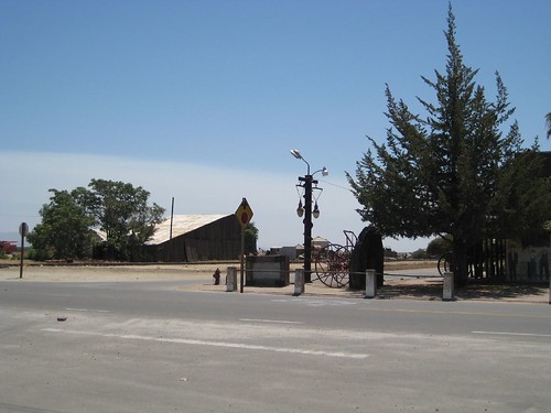
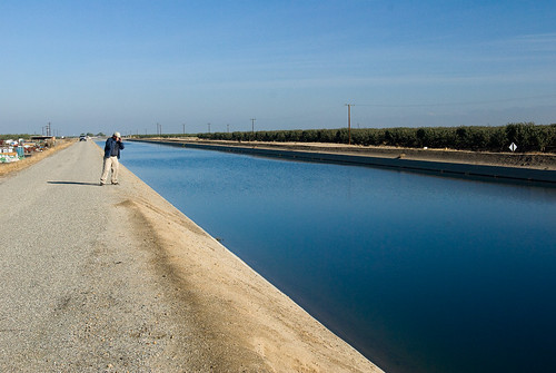
Elevation of Ducor, CA, USA
Location: United States > California > Tulare County >
Longitude: -119.04732
Latitude: 35.8916196
Elevation: 167m / 548feet
Barometric Pressure: 99KPa
Related Photos:
Topographic Map of Ducor, CA, USA
Find elevation by address:

Places in Ducor, CA, USA:
Places near Ducor, CA, USA:
Ave 56, Ducor, CA, USA
Richgrove Dr, Delano, CA, USA
Ave 95, Terra Bella, CA, USA
Terra Bella
24010 Ave 100
Rd, Terra Bella, CA, USA
Ave, Porterville, CA, USA
Dooley Dr, Richgrove, CA, USA
Richgrove
Old Stage Rd, Porterville, CA, USA
Rd, Delano, CA, USA
E Teapot Dome Ave, Porterville, CA, USA
Delano, CA, USA
Ave, Porterville, CA, USA
1882 W Roby Ave
Famoso Porterville Hwy, Delano, CA, USA
Porterville
Ave, Porterville, CA, USA
E Crabtree Ave, Porterville, CA, USA
Ave, Porterville, CA, USA
Recent Searches:
- Elevation of Corso Fratelli Cairoli, 35, Macerata MC, Italy
- Elevation of Tallevast Rd, Sarasota, FL, USA
- Elevation of 4th St E, Sonoma, CA, USA
- Elevation of Black Hollow Rd, Pennsdale, PA, USA
- Elevation of Oakland Ave, Williamsport, PA, USA
- Elevation of Pedrógão Grande, Portugal
- Elevation of Klee Dr, Martinsburg, WV, USA
- Elevation of Via Roma, Pieranica CR, Italy
- Elevation of Tavkvetili Mountain, Georgia
- Elevation of Hartfords Bluff Cir, Mt Pleasant, SC, USA
