Elevation of Dubuque Rd, Omaha, AR, USA
Location: United States > Arkansas > Boone County > Omaha Township > Omaha >
Longitude: -93.109813
Latitude: 36.397863
Elevation: 313m / 1027feet
Barometric Pressure: 98KPa
Elevation Map:
Satellite Map:
Related Photos:
current location: this! #rvsx
⬇️ ⬅️↙️
Old Charcoal plant.

Skundi and Gaela

2013 09 17 ANDY'S VACATION (0539)

Skundi and Gaela
Beautiful day today
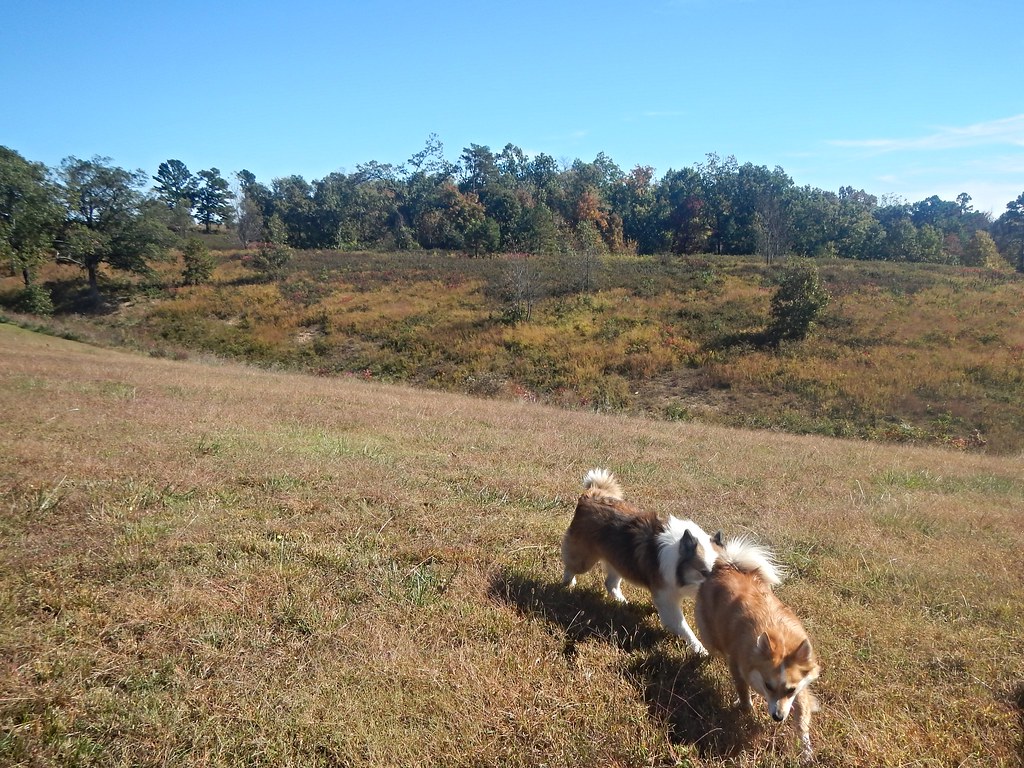
Skundi and Gaela
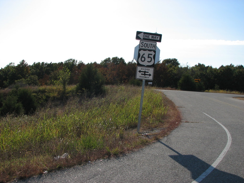
Which Way is South
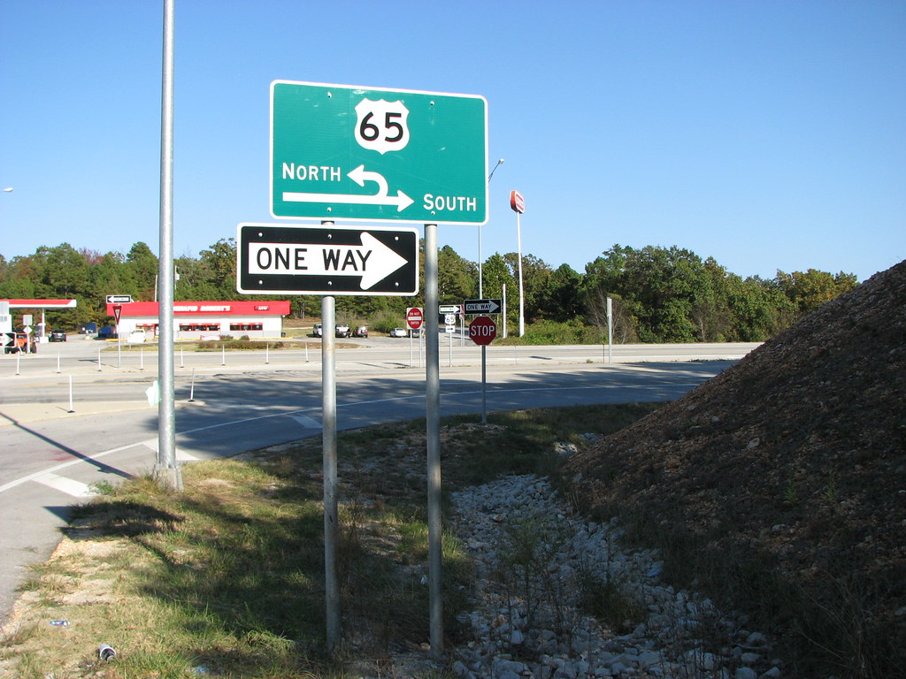
Michigan in Missouri

iPhone beast

Arkansas 7.24.15-2 Charlie Anthony

Arkansas 7.24.15-1 Charlie Anthony

iPhone butterfly

Frozen yogurt! #yummy

Back of the truck

Grace w
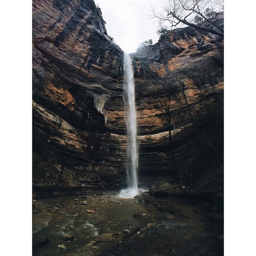
-Portrait of an ancient natural wonder- At 210ft., Hemmed In Hollow Falls is the tallest waterfall between the Rocky Mountains and the Appalachians. Hidden deep within the rugged Ozark highlands, this area is not easily accessible without at least a 6.

Pretty fun October

Pretty fun October

Ki & Lila's Butterfly Adventure

iPhone peace

Carol & Chevelle
Topographic Map of Dubuque Rd, Omaha, AR, USA
Find elevation by address:

Places near Dubuque Rd, Omaha, AR, USA:
12478 Dubuque Rd
New Hope Road North
Hopewell Rd N, Harrison, AR, USA
4646 Ar-14
Lee Township
Johnson Cove North
Mill Hollow Rd W, Harrison, AR, USA
Omaha Township
Minnow Dr W, Omaha, AR, USA
Omaha
379 Ar-14
College Rd, Omaha, AR, USA
12112 Smith Ln W
2688 Echo Hills Dr
US-65, Harrison, AR, USA
Ricks Drive
Omaha, AR, USA
8021 Norvel Dr N
1752 Austin Walker Ct
Hwy 65 N, Harrison, AR, USA
Recent Searches:
- Elevation of Corso Fratelli Cairoli, 35, Macerata MC, Italy
- Elevation of Tallevast Rd, Sarasota, FL, USA
- Elevation of 4th St E, Sonoma, CA, USA
- Elevation of Black Hollow Rd, Pennsdale, PA, USA
- Elevation of Oakland Ave, Williamsport, PA, USA
- Elevation of Pedrógão Grande, Portugal
- Elevation of Klee Dr, Martinsburg, WV, USA
- Elevation of Via Roma, Pieranica CR, Italy
- Elevation of Tavkvetili Mountain, Georgia
- Elevation of Hartfords Bluff Cir, Mt Pleasant, SC, USA