Elevation of Driggers Lane, Driggers Ln, Ridgeland, SC, USA
Location: United States > South Carolina > Jasper County > Ridgeland >
Longitude: -80.932043
Latitude: 32.5194461
Elevation: 16m / 52feet
Barometric Pressure: 101KPa
Elevation Map:
Satellite Map:
Related Photos:
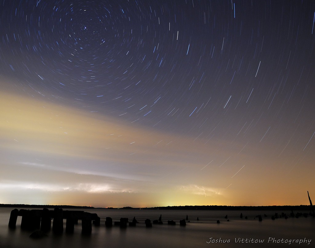
Star Trails, with a touch of Lightning!
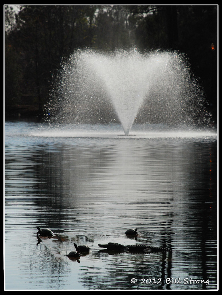
Critters and Fountain
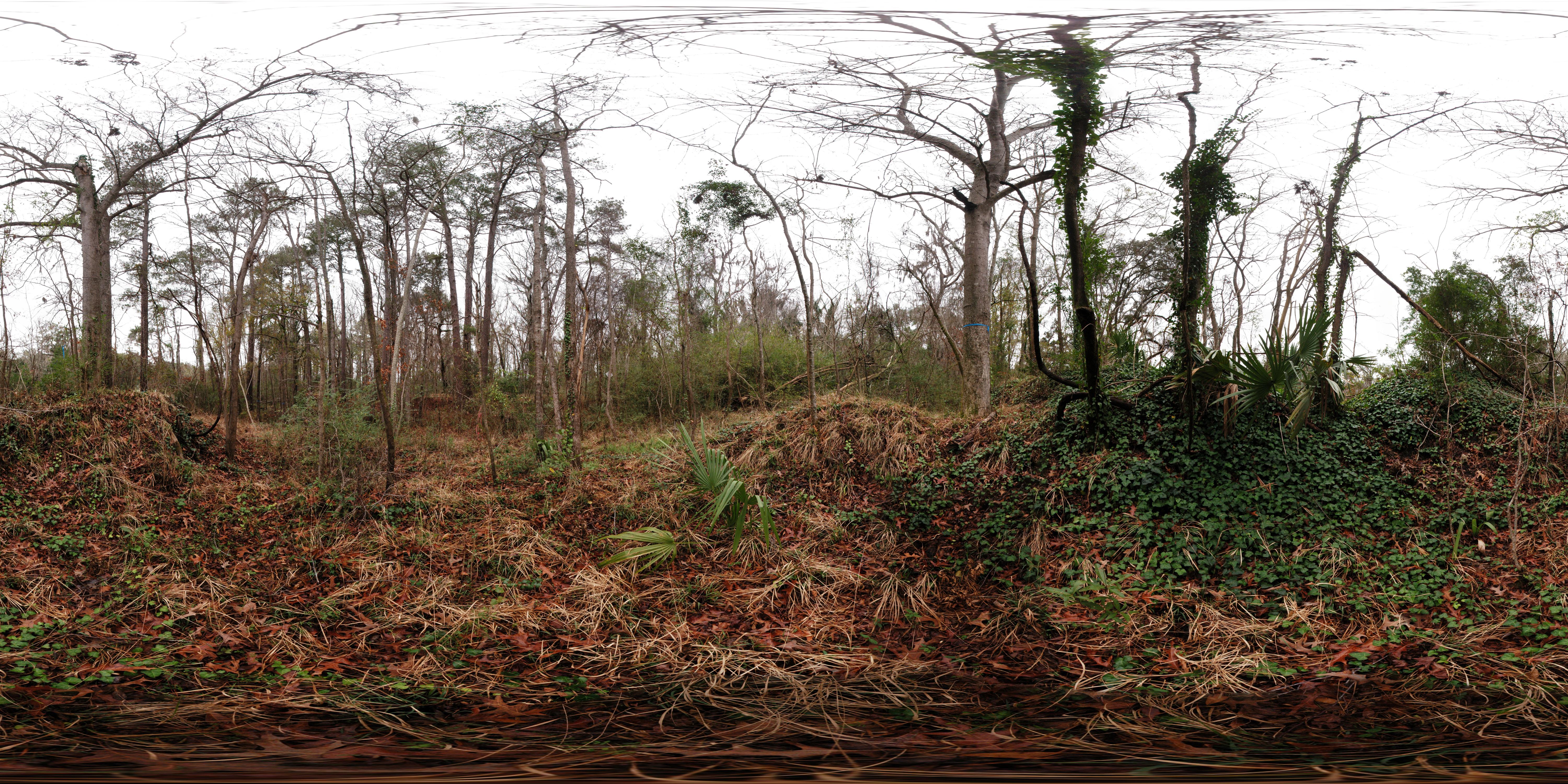
Stoney Creek Battery Heritage Preserve (360° x 180° Panorama)
Seabrook, SC 29940

Frampton Plantation House
TrackHead Studios - Bridge Frame

TrackHead Studios - Boat Frame
HIP_343927046.793740
HIP_343926491.836772
HIP_343926410.260473
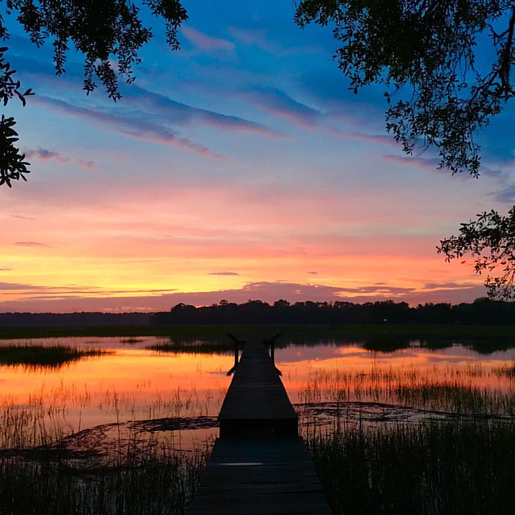
Inner peace.... (Although that dock is sketchy as hell!)
#Monterapose #plantation

2012-11-10_13-55-22_335
2012-11-10_13-53-46_749
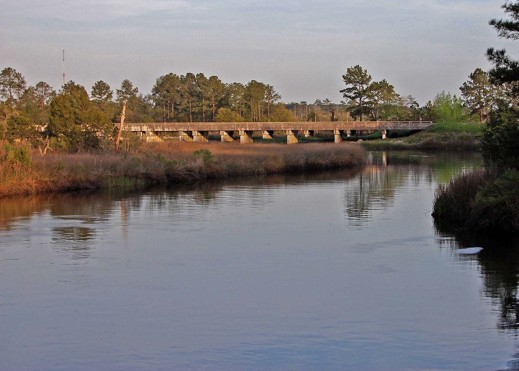
I-95 Over the Coosawhatchie

We are now literally driving off into the sunset. #RVadventures

Snowy Landscape
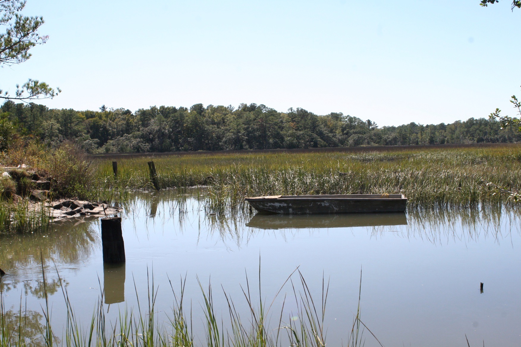
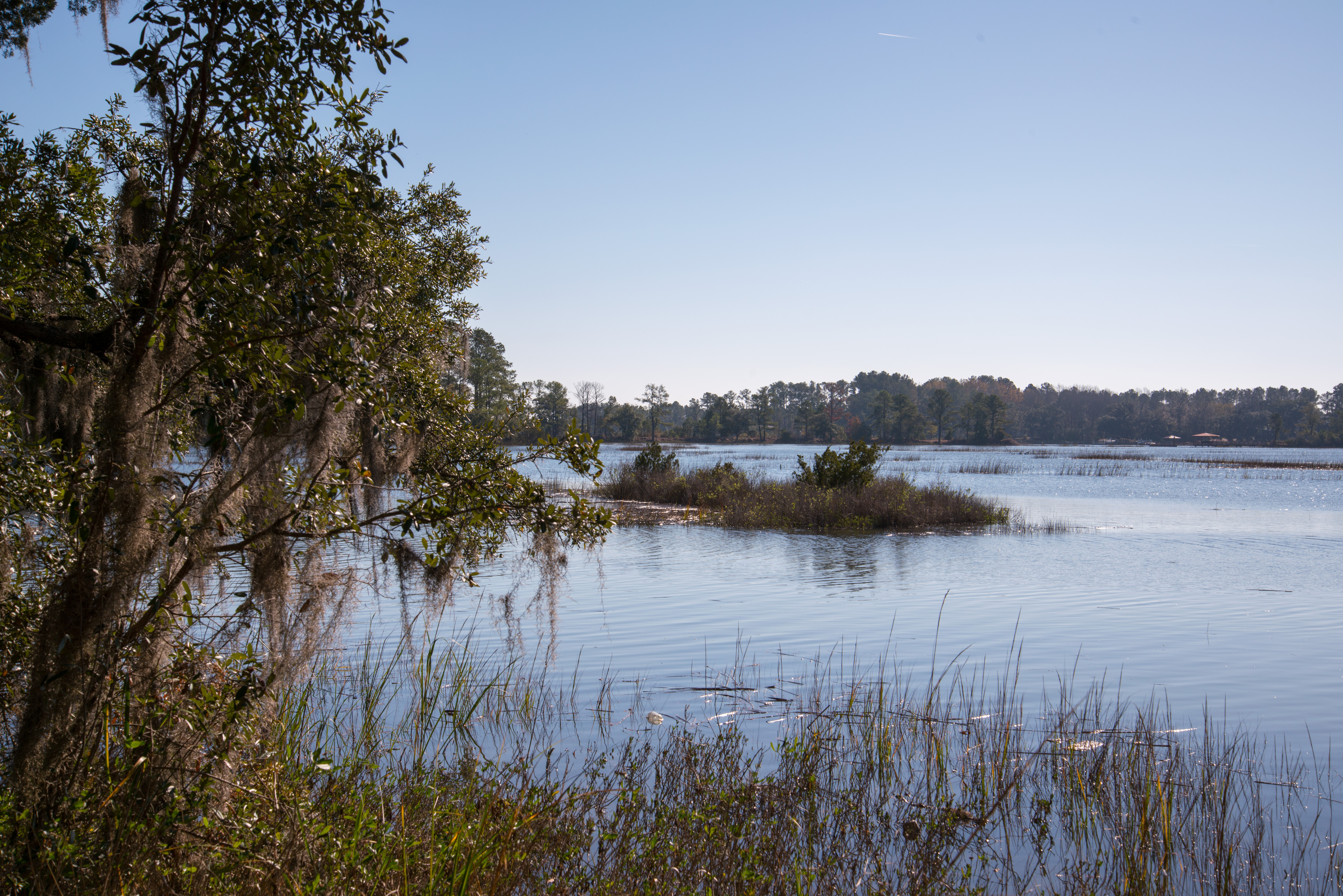
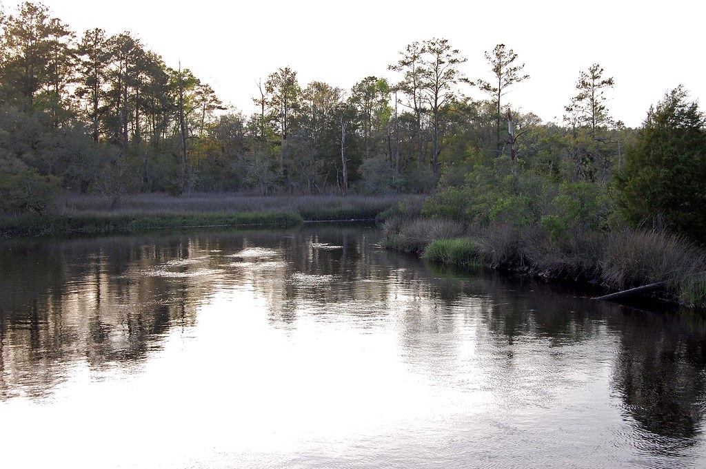
Euhaw Creek, a Tidal Creek and Marsh in Rural Jasper County South Carolina
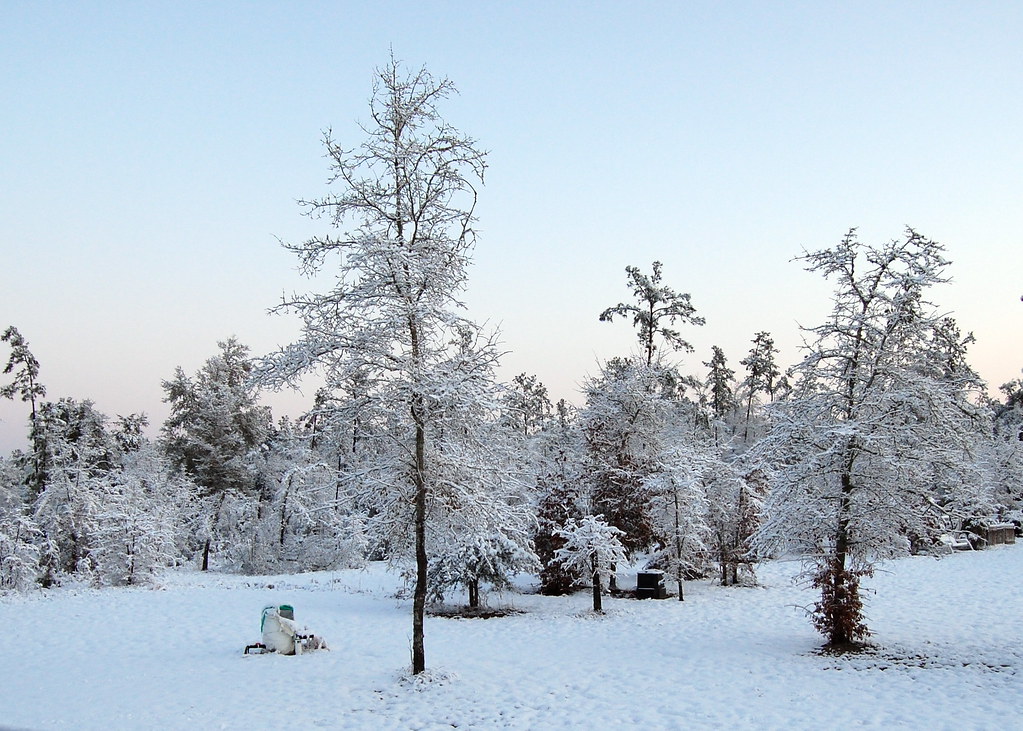
Snowy Landscape

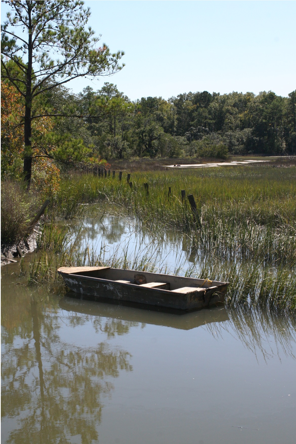
Old Abandoned boat at Euhaw Creek
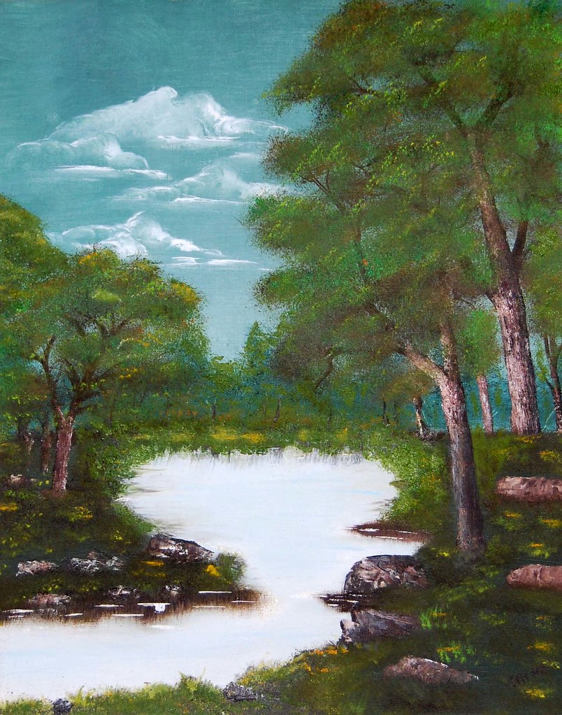
Forest Pond
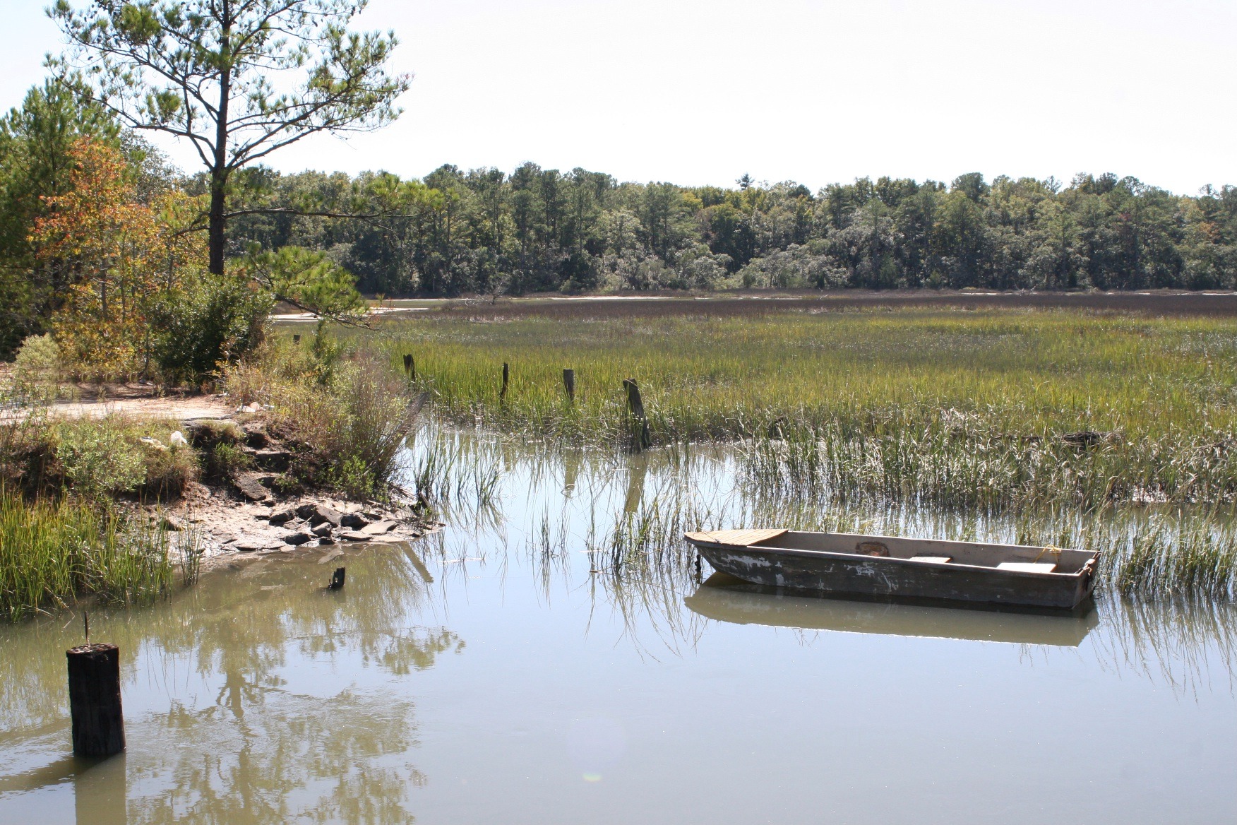
Euhaw Creek Jasper County South Carolina
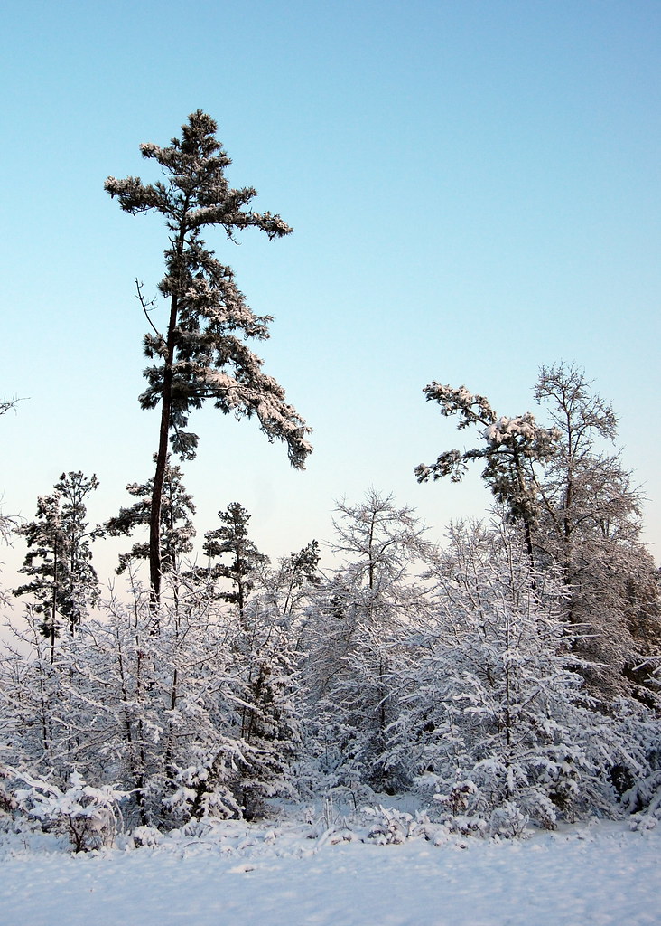
Snowy Landscape

Fossil island
121214-6257 Ridgeland
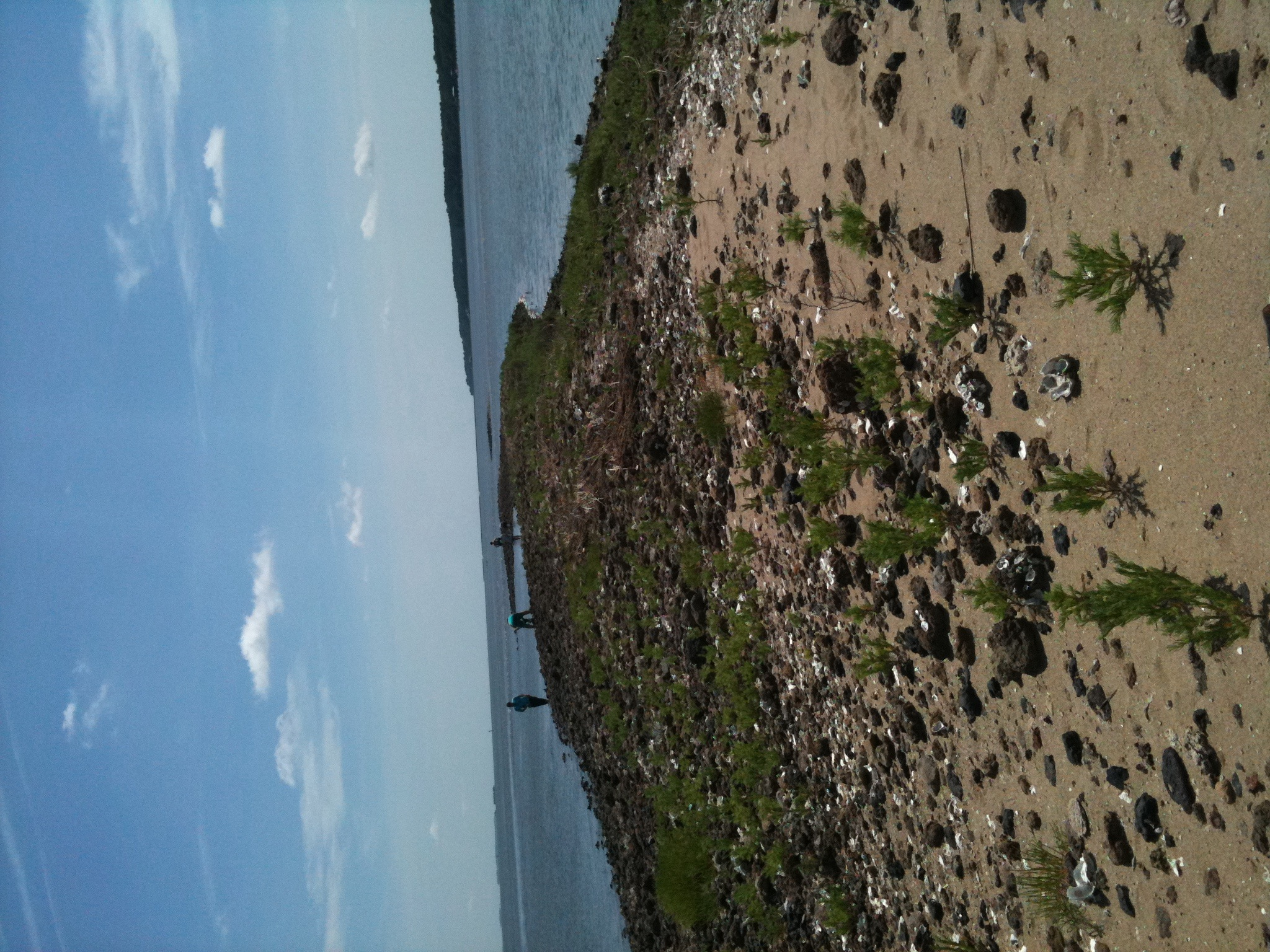
Fossil island
High Tide at Euhaw Creek
Coosawhatchie River
Topographic Map of Driggers Lane, Driggers Ln, Ridgeland, SC, USA
Find elevation by address:

Places near Driggers Lane, Driggers Ln, Ridgeland, SC, USA:
144 Chelsea Ln
Honey Hill Court
2049 Honey Hill Cir
2049 Honey Hill Cir
16 Queens Way
1544 Honey Hill Cir
613 Battle Cut Rd
Battle Cut Road
Honey Hill
Honey Hill Circle
2898 Honey Hill Cir
925 Ridgeland Lakes Drive
259 Wellington Loop
11577 N Jacob Smart Blvd
Riverview Drive
Ridgeland-hardeeville High School
91 Klugh Ave
Carriage Circle
10 Airport Rd
272 Log Hall Rd
Recent Searches:
- Elevation of Corso Fratelli Cairoli, 35, Macerata MC, Italy
- Elevation of Tallevast Rd, Sarasota, FL, USA
- Elevation of 4th St E, Sonoma, CA, USA
- Elevation of Black Hollow Rd, Pennsdale, PA, USA
- Elevation of Oakland Ave, Williamsport, PA, USA
- Elevation of Pedrógão Grande, Portugal
- Elevation of Klee Dr, Martinsburg, WV, USA
- Elevation of Via Roma, Pieranica CR, Italy
- Elevation of Tavkvetili Mountain, Georgia
- Elevation of Hartfords Bluff Cir, Mt Pleasant, SC, USA