Elevation of Honey Hill Cir, Ridgeland, SC, USA
Location: United States > South Carolina > Jasper County > Honey Hill >
Longitude: -80.943889
Latitude: 32.4789777
Elevation: 16m / 52feet
Barometric Pressure: 101KPa
Elevation Map:
Satellite Map:
Related Photos:

TrackHead Studios - Boat Frame

TrackHead Studios - Bridge Frame

TrackHead Studios - South Carolina
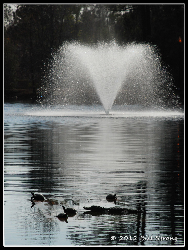
Critters and Fountain
#Monterapose #plantation
Sc birds
Solar Hot Water System Supplier Beaufort County

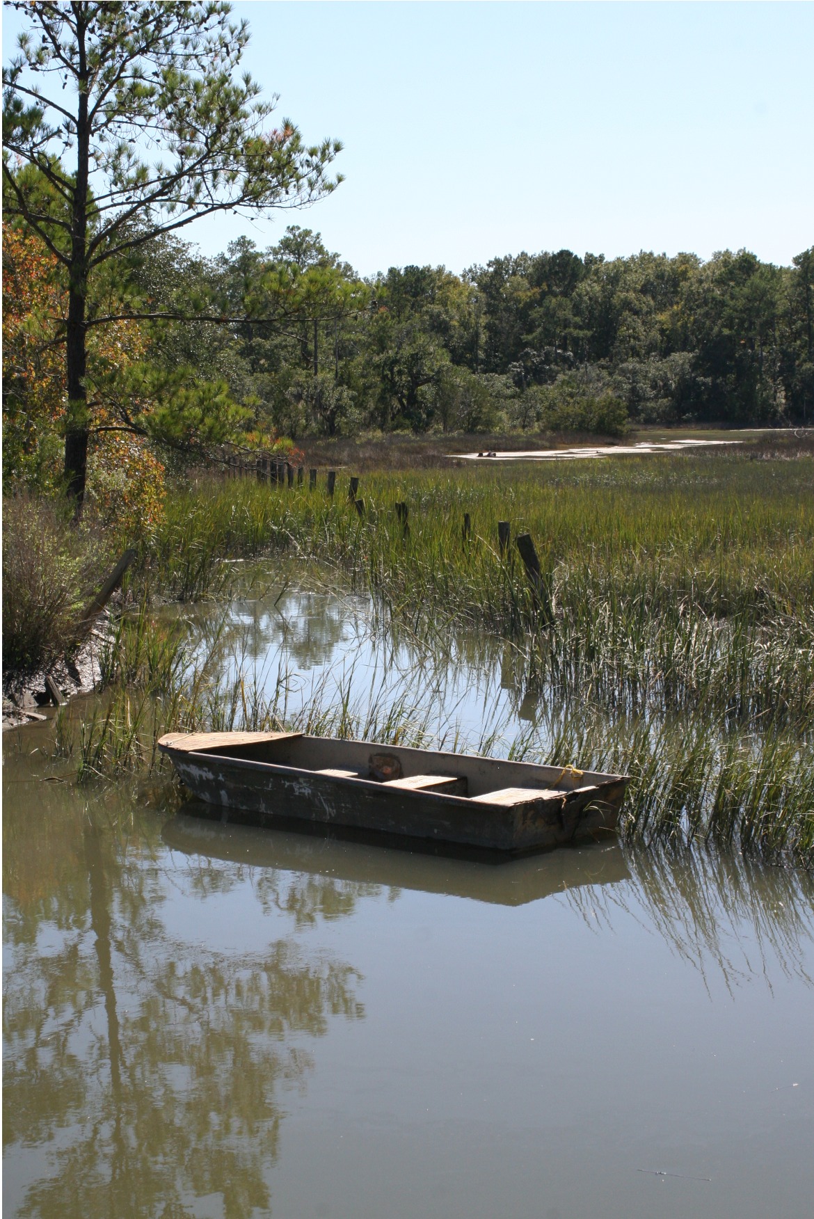
Old Abandoned boat at Euhaw Creek
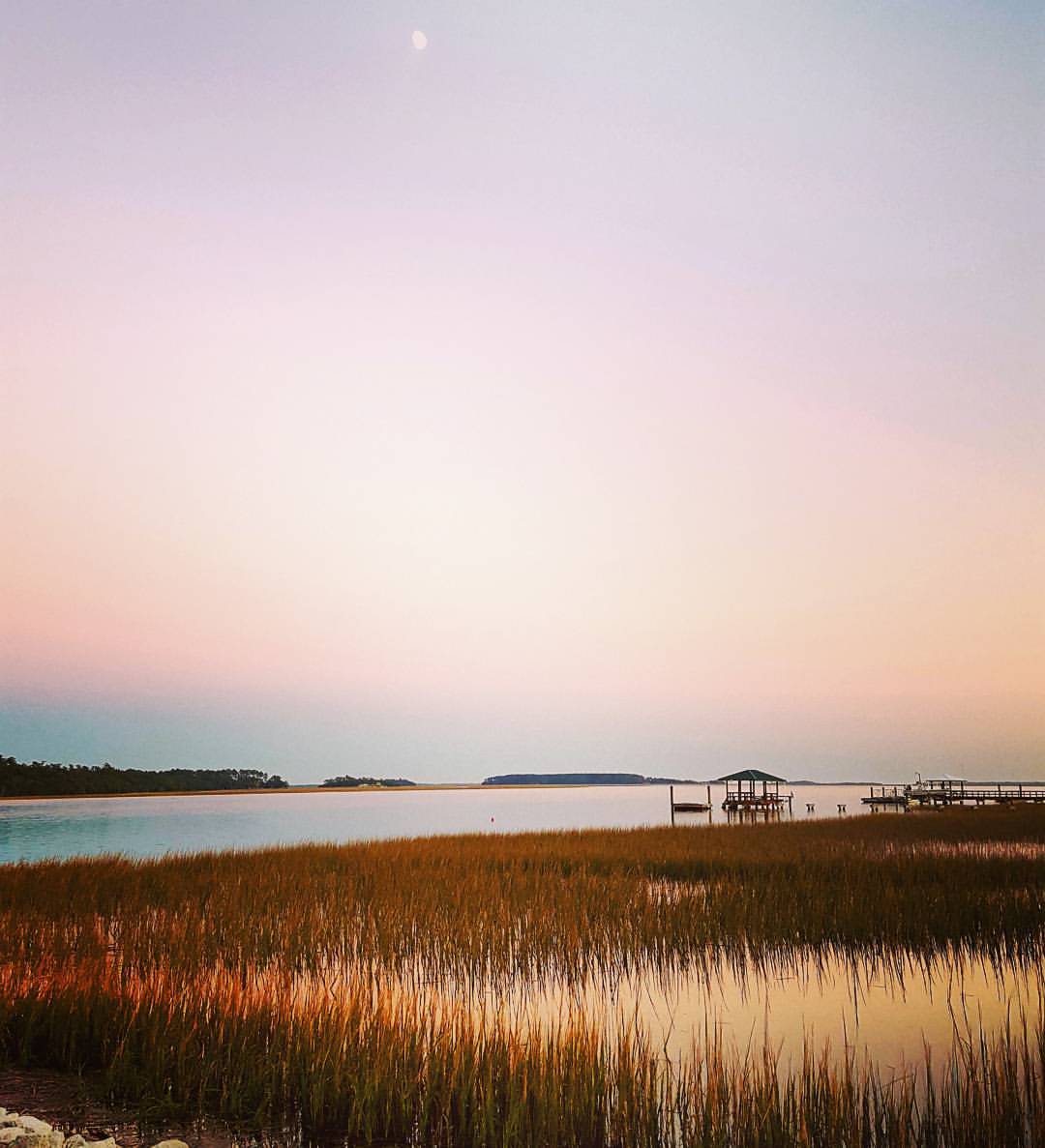
High Tide at Euhaw Creek
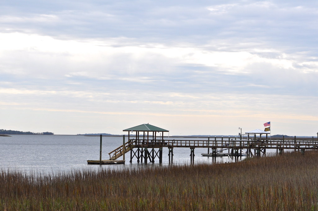
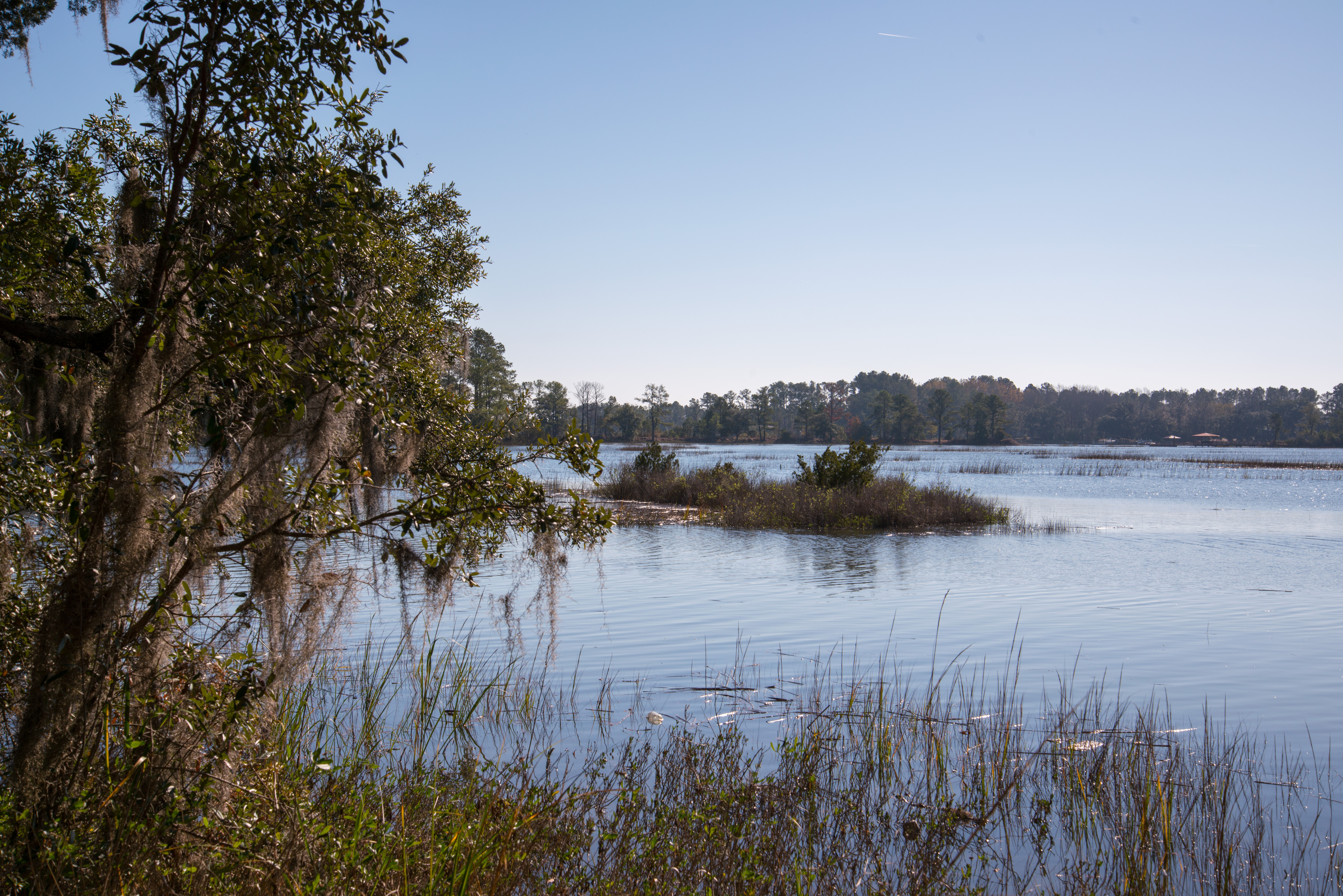
Love this river too.
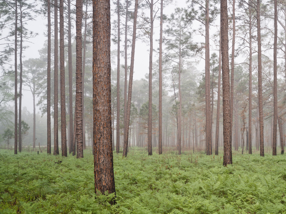
forest floor along hwy 462, Jasper County SC, 04/24/11
Chechessee River
121214-6257 Ridgeland
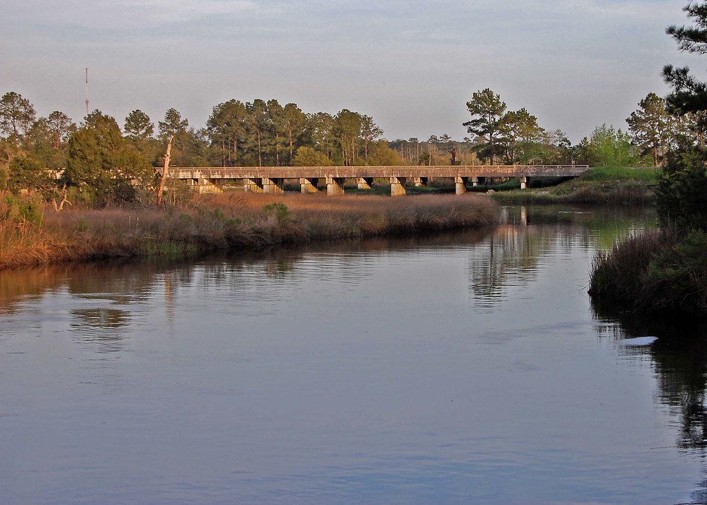
I-95 Over the Coosawhatchie

Fossil island
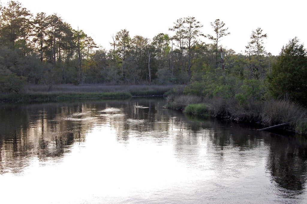
Coosawhatchie River
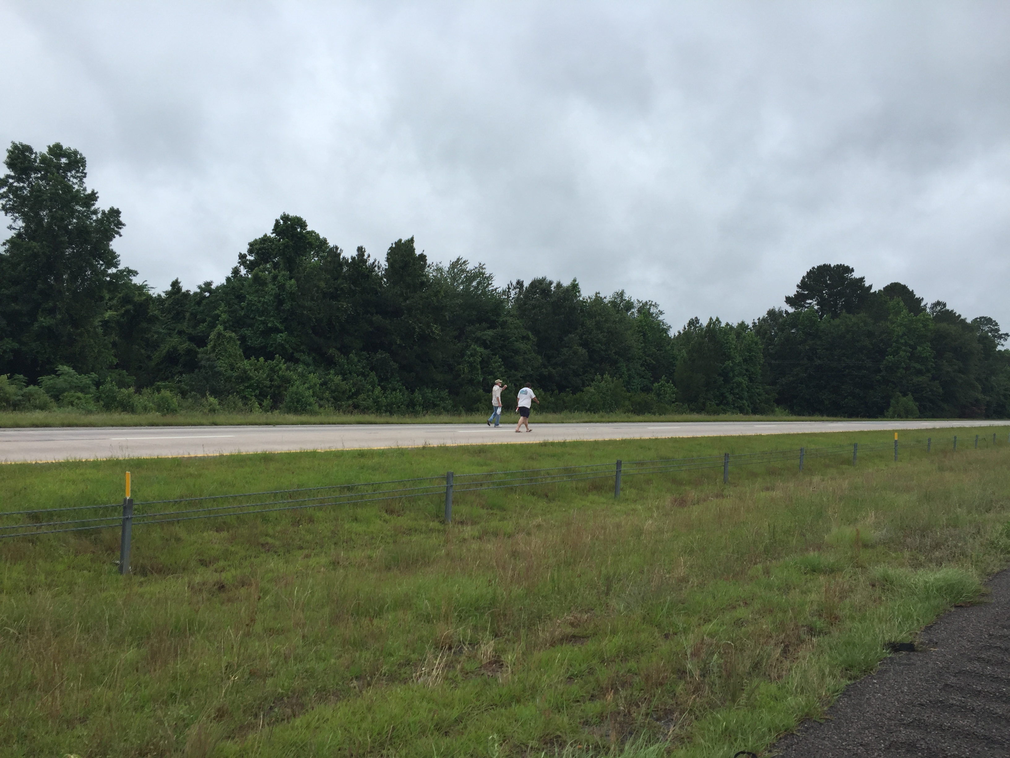
walking the interstate
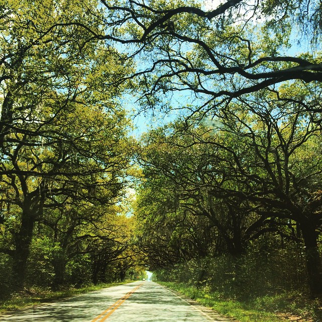
Switzerland #easter #sundaydrive
HIP_343926491.836772
HIP_343926410.260473
Topographic Map of Honey Hill Cir, Ridgeland, SC, USA
Find elevation by address:

Places near Honey Hill Cir, Ridgeland, SC, USA:
Honey Hill Circle
Honey Hill
Battle Cut Road
613 Battle Cut Rd
259 Wellington Loop
1544 Honey Hill Cir
2049 Honey Hill Cir
2049 Honey Hill Cir
925 Ridgeland Lakes Drive
Honey Hill Court
16 Queens Way
Carriage Circle
91 Klugh Ave
144 Chelsea Ln
2159 Bees Creek Rd
158 Graham Hall
11577 N Jacob Smart Blvd
1728 Bees Creek Rd
631 Wise St
Ridgeland
Recent Searches:
- Elevation of Corso Fratelli Cairoli, 35, Macerata MC, Italy
- Elevation of Tallevast Rd, Sarasota, FL, USA
- Elevation of 4th St E, Sonoma, CA, USA
- Elevation of Black Hollow Rd, Pennsdale, PA, USA
- Elevation of Oakland Ave, Williamsport, PA, USA
- Elevation of Pedrógão Grande, Portugal
- Elevation of Klee Dr, Martinsburg, WV, USA
- Elevation of Via Roma, Pieranica CR, Italy
- Elevation of Tavkvetili Mountain, Georgia
- Elevation of Hartfords Bluff Cir, Mt Pleasant, SC, USA