Elevation of Draw Rd, Boulder, UT, USA
Location: United States > Utah > Garfield County > Boulder >
Longitude: -111.39713
Latitude: 37.8863534
Elevation: 1914m / 6280feet
Barometric Pressure: 80KPa
Elevation Map:
Satellite Map:
Related Photos:
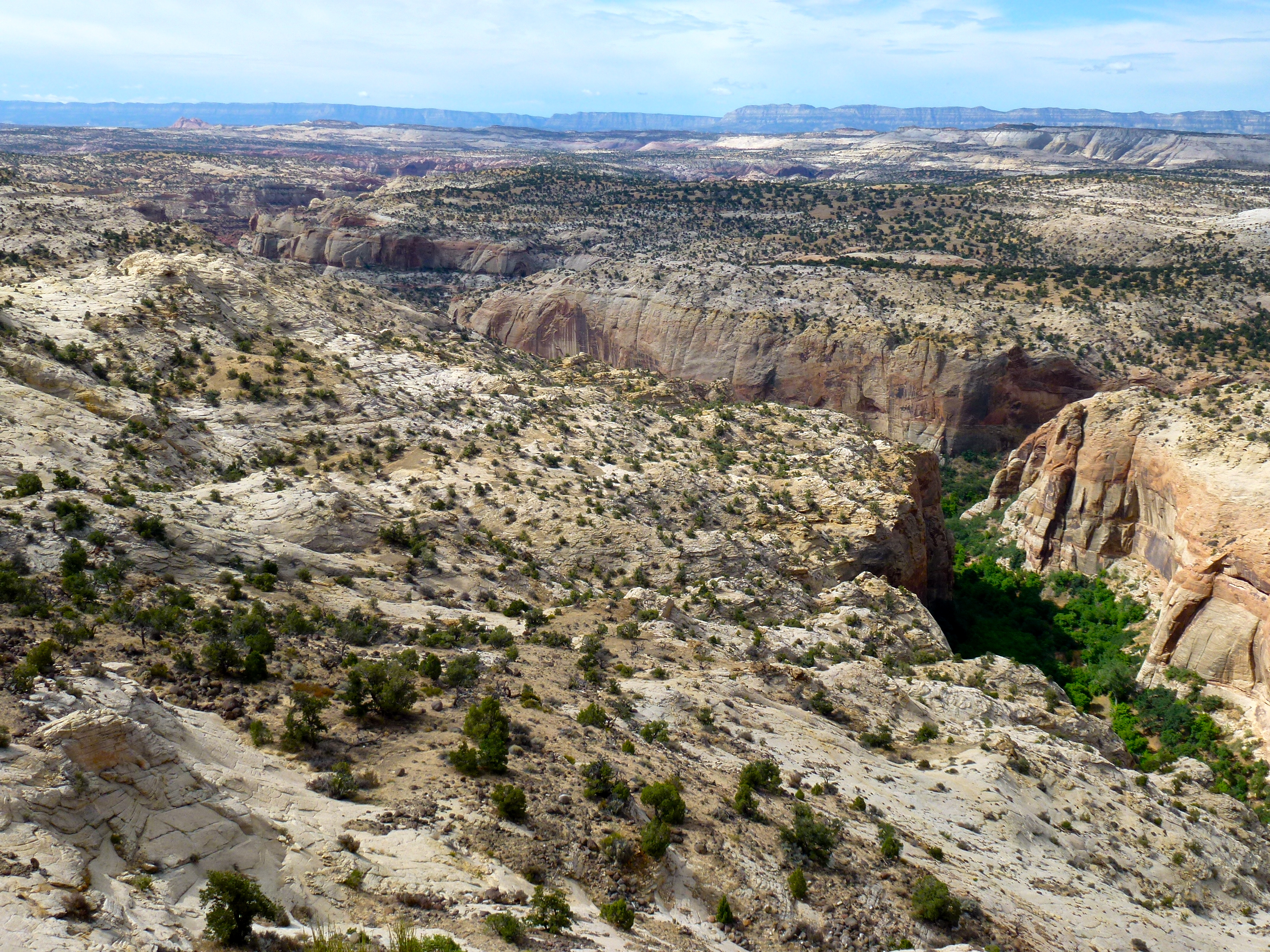
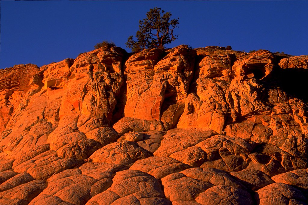
Western Sky
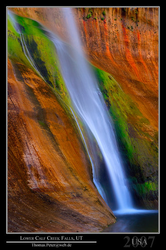
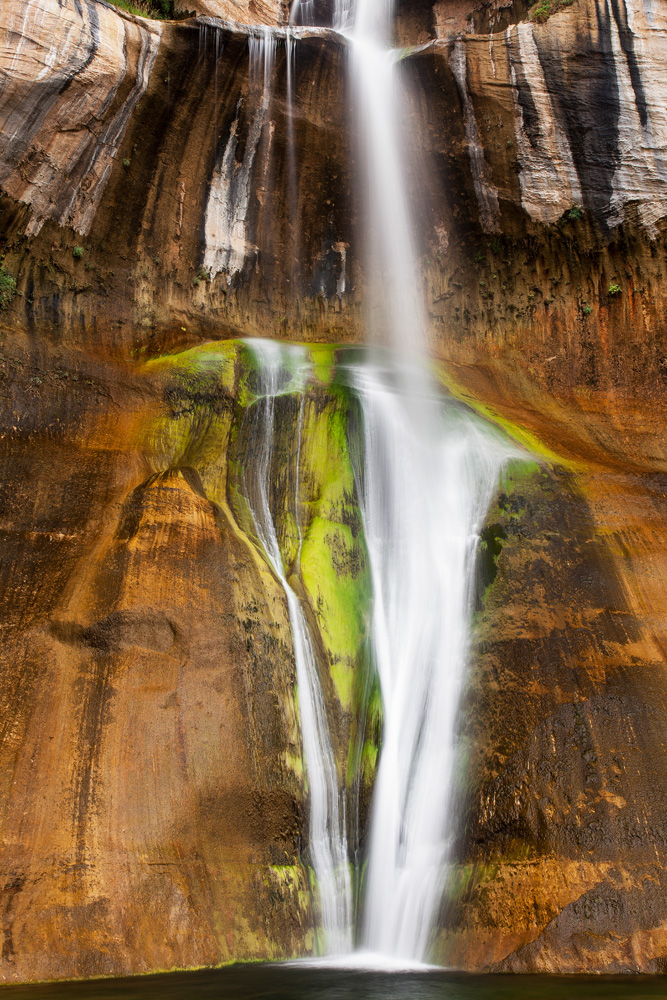
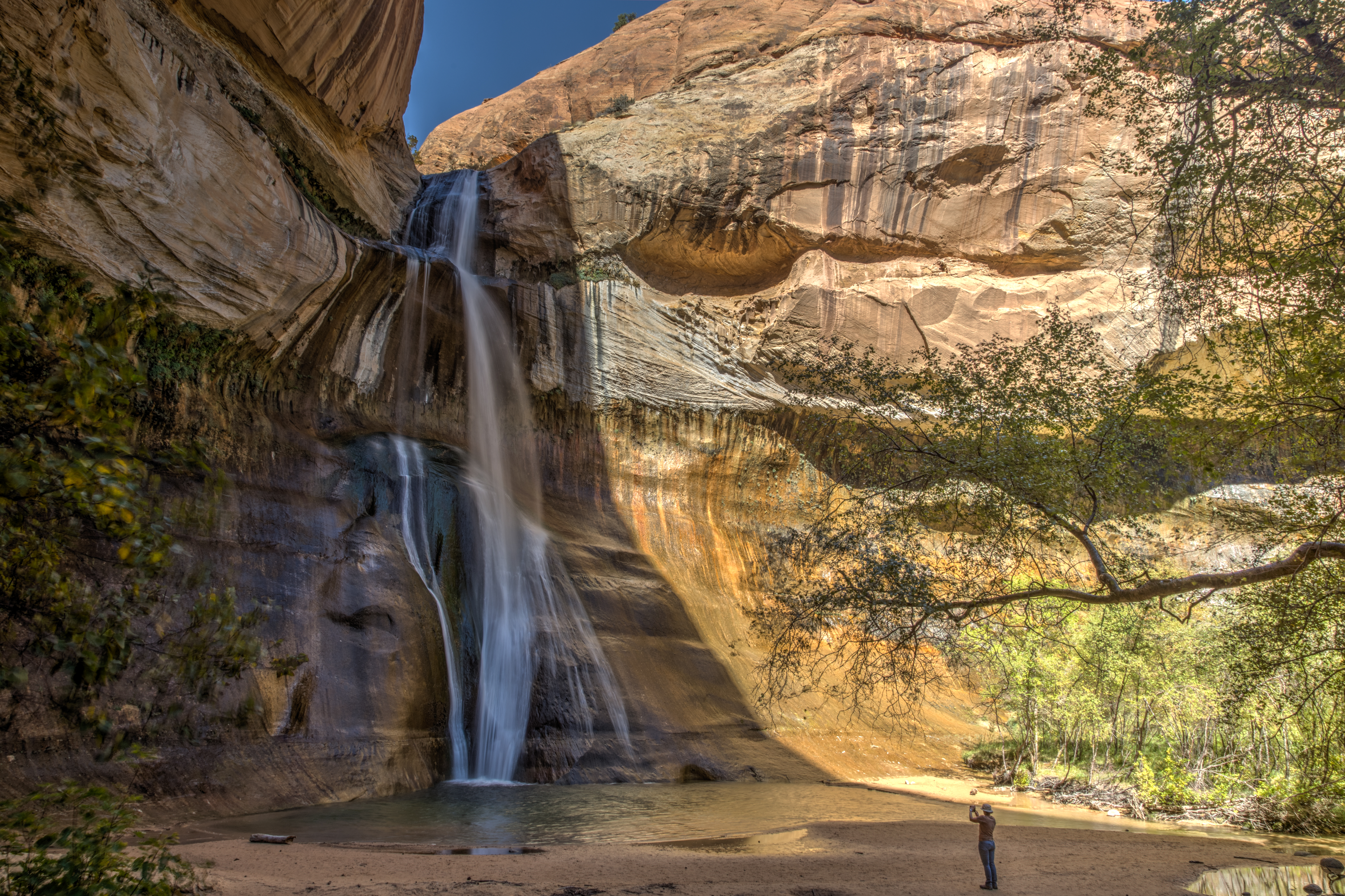
Lower Calf Creek Falls, UT
Lower Calf Creek Falls
Lower Calf Creek Falls
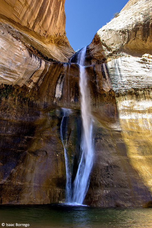
Desert Cascade
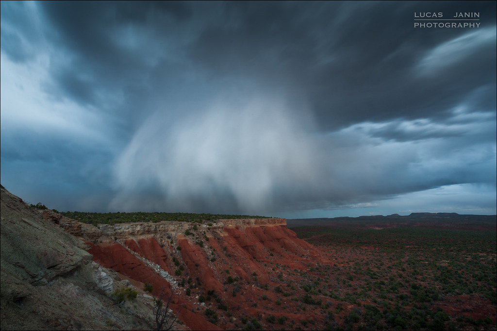
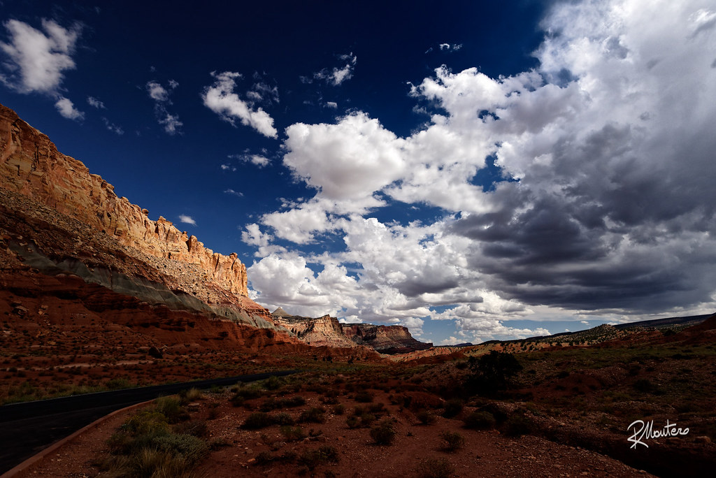
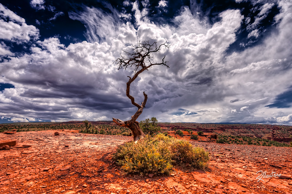
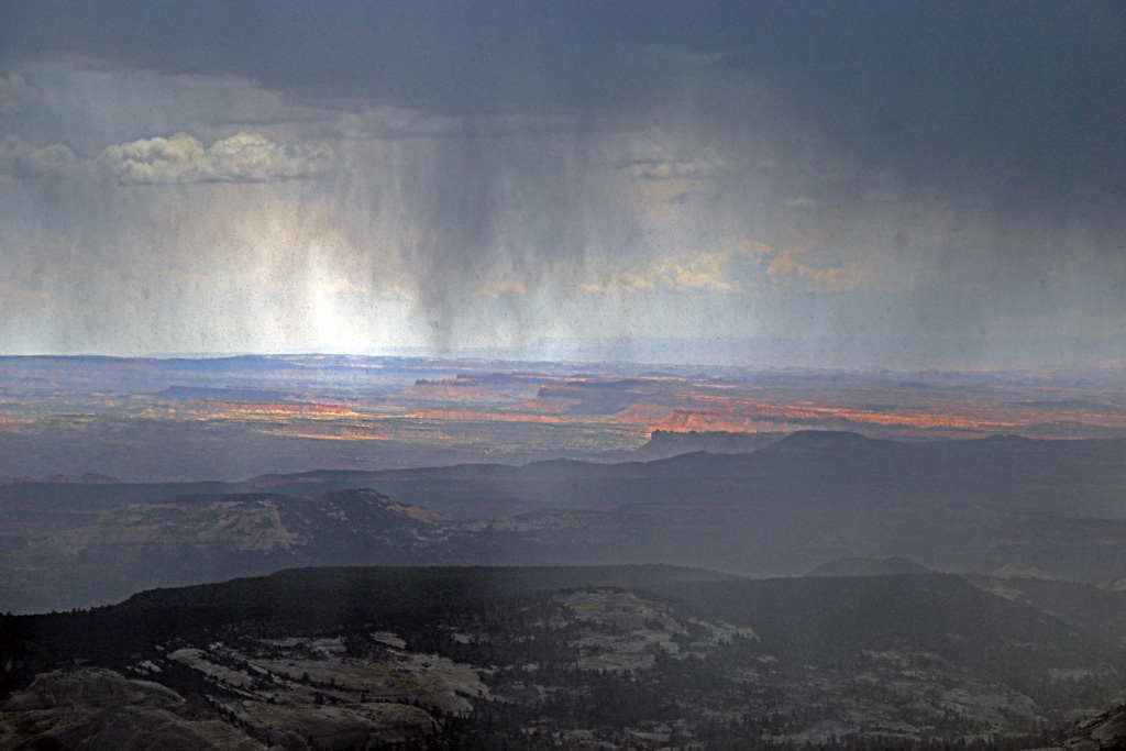
Storm is coming
Perennial Plunge
Lower Calf Creek Falls
Life or Death
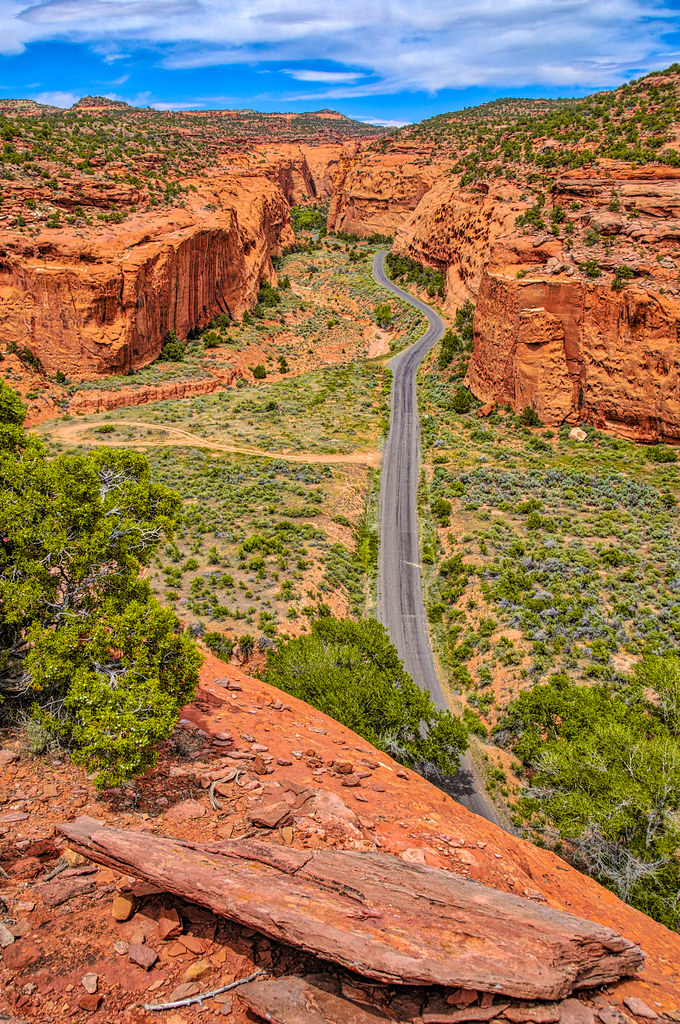
Long Canyon Overlook
Ken, Highway 12, Grand Staircase-Escalante National Monument
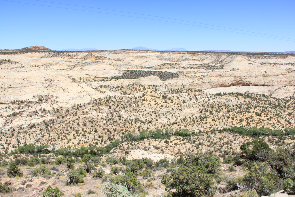
Grand Staircase-Escalante National Monument
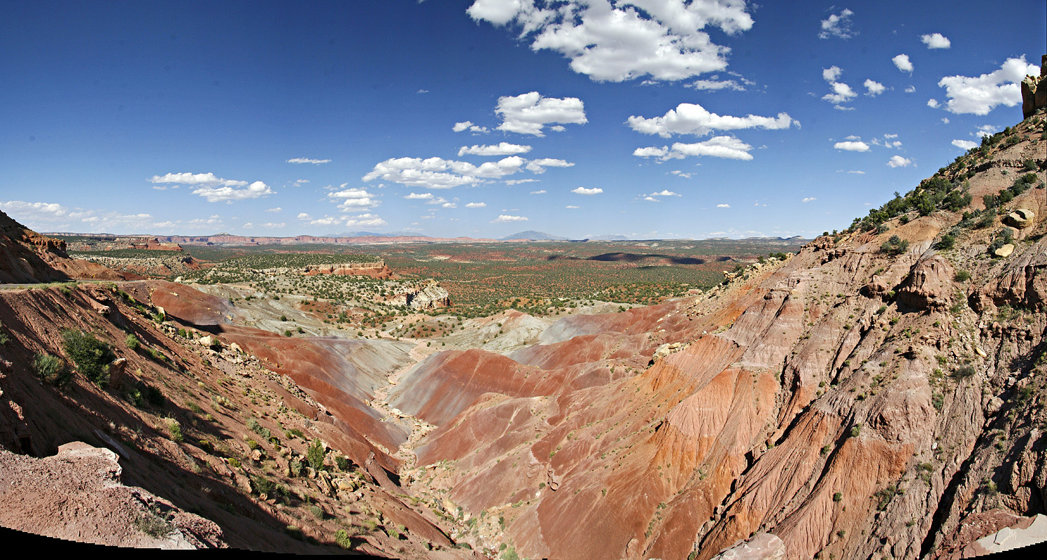
Escalante Badlands
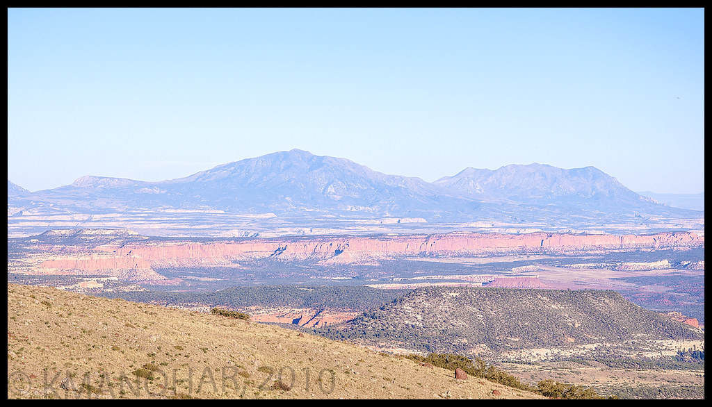
Henry Mountains, Waterpocket Fold and Circle Cliffs of Utah
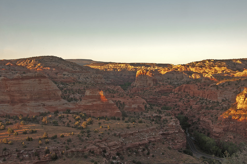
Sunset over Canyons of the Escalante
Calf Creek from Utah Rt. 12
Boulder Navajo Sandstone Mesa Morning #2 -- 9/2004
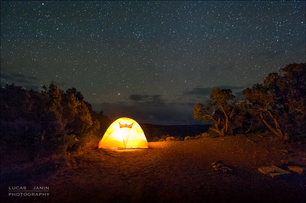
Perfect camping spot
Long Canyon Vista
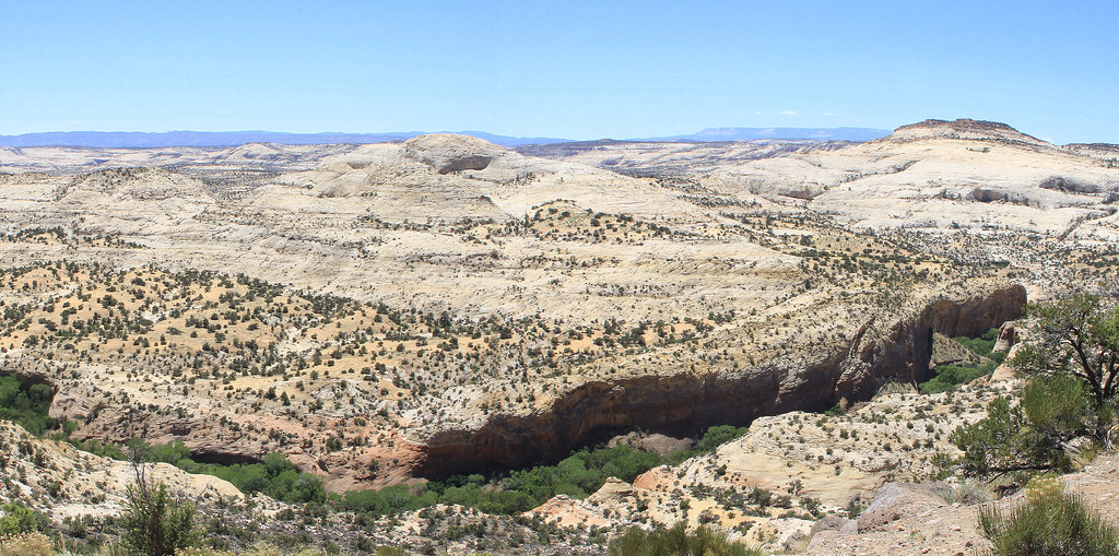
Grand Staircase-Escalante National Monument
the view from Boulder Mtn -- looking out across Grand Staircase-Escalante NM
Touch the Constellations
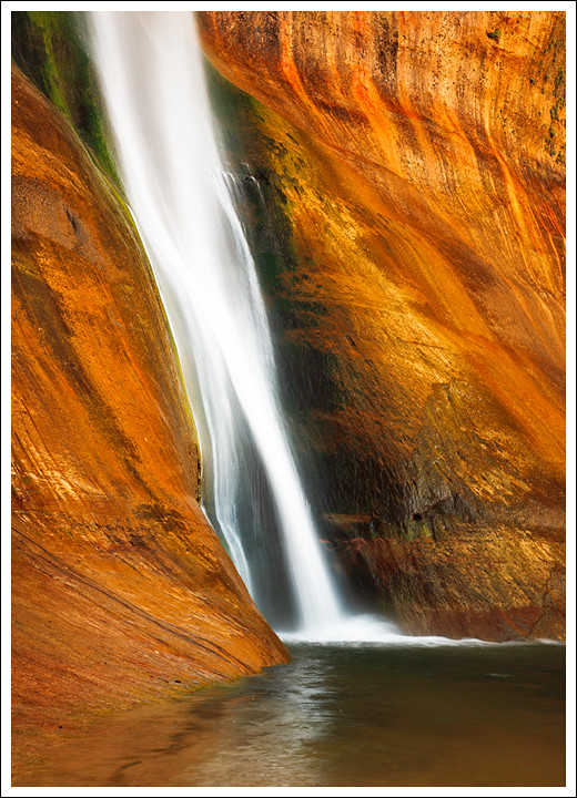
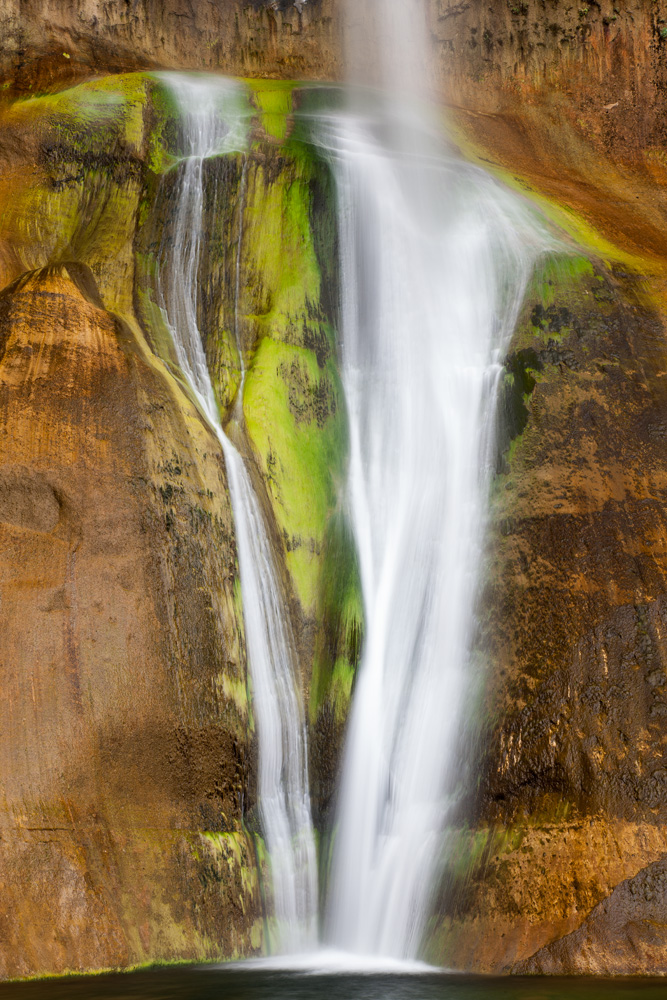
Lower Calf Creek Falls
Calf Creek Waterfall
Calf Creek Falls 1
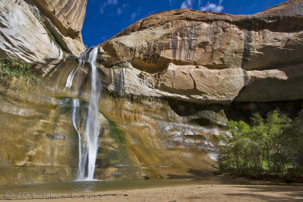
Lower Calf Creek Falls
Lower Calf Creek Falls
May Weather Won Again, 3 May 2015

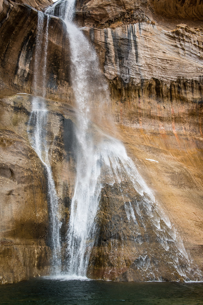
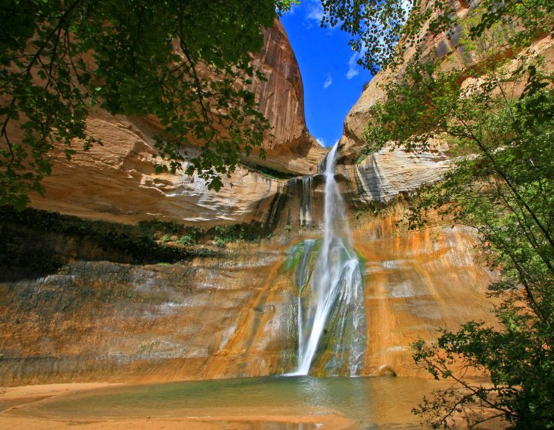
*Lower Calf Creek Falls*
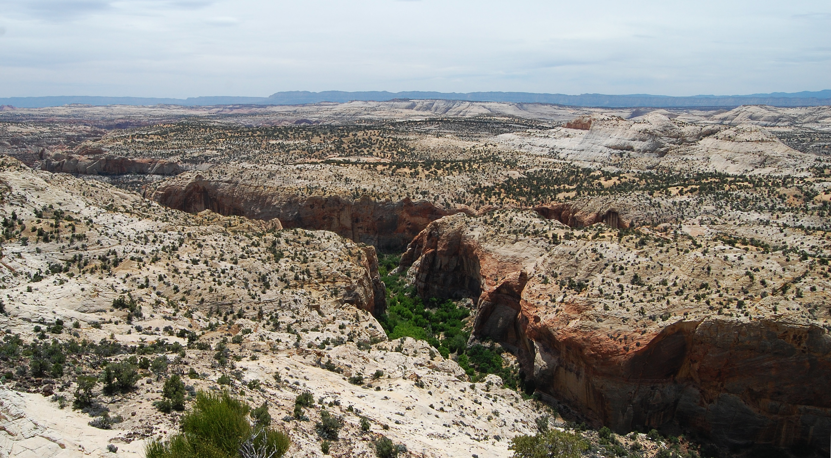
Calf Creek Canyon
Burr Trail rocky sentinels (panorama)
Lower Calf Creek Falls, Escalante NM, Utah
Lower Calf Creek Falls
Topographic Map of Draw Rd, Boulder, UT, USA
Find elevation by address:

Places near Draw Rd, Boulder, UT, USA:
Burr Trail Road
Utah 12
The Hogback
Boulder
Lower Calf Creek Falls
Garfield County
Escalante Natural Bridge
1605 Pine Creek Rd
760 Ut-12
Utah 12
Escalante
Q9fr+hh
Utah 12
445 W 400 S
445 W 400 S
Petrified Forest Trail
Devils Garden
Utah 12
Utah 12
8695 W Utah State Hwy 12
Recent Searches:
- Elevation of Corso Fratelli Cairoli, 35, Macerata MC, Italy
- Elevation of Tallevast Rd, Sarasota, FL, USA
- Elevation of 4th St E, Sonoma, CA, USA
- Elevation of Black Hollow Rd, Pennsdale, PA, USA
- Elevation of Oakland Ave, Williamsport, PA, USA
- Elevation of Pedrógão Grande, Portugal
- Elevation of Klee Dr, Martinsburg, WV, USA
- Elevation of Via Roma, Pieranica CR, Italy
- Elevation of Tavkvetili Mountain, Georgia
- Elevation of Hartfords Bluff Cir, Mt Pleasant, SC, USA