Elevation of Draper Utah Temple- The Church of Jesus Christ of Latter-day Saints, Canyon Vista Ln, Draper, UT, USA
Location: United States > Utah > Salt Lake County > Draper >
Longitude: -111.84071
Latitude: 40.4956106
Elevation: 1565m / 5134feet
Barometric Pressure: 84KPa
Elevation Map:
Satellite Map:
Related Photos:
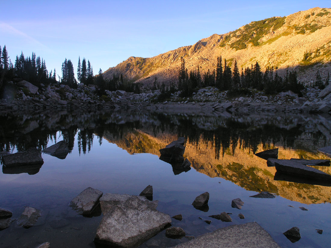
Little Cottonwood

Majestic Draper Temple at Blue Hour
Fields For Furrows

Natacha and Rudolph
Touching Down

Harry Potter Magic Duel 095/365

Balloon Tour - Butterfly Garden
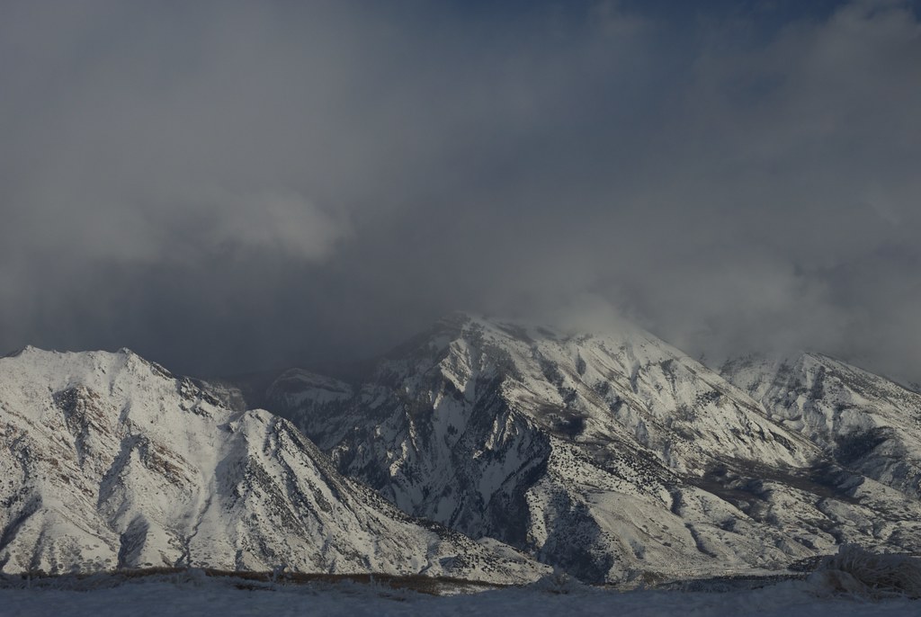
Panoramic view of the Wasatch mountains [Explore 3 March 2016]

"Desert Sky, Dream Beneath a Desert Sky"
Thus was the view from the back porch before we ran off to chase the rest of the #sunset in the #utahsky...

View up the Mouth of LIttle Cottonwood Canyon
Utah Valley

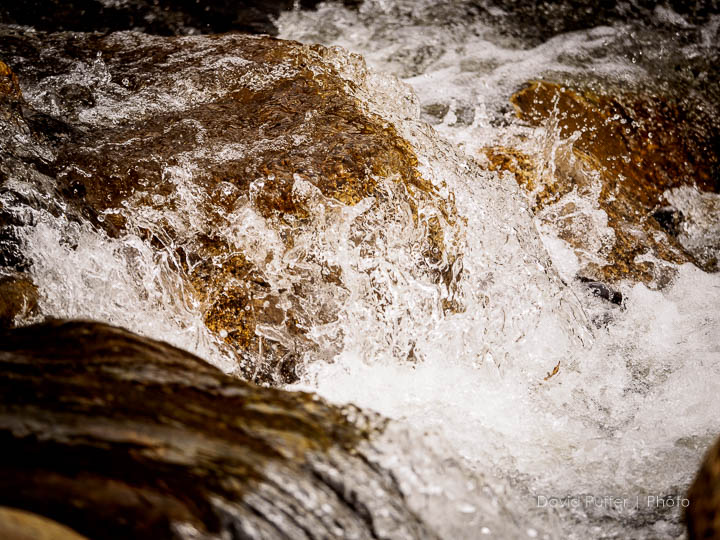
Snow Savor

Horsetail Falls morning view
"Why a duck?"
View Benchmark

Jesus Carrying the Cross
Summer Evening Sunshine

20100301-201738-194.jpg

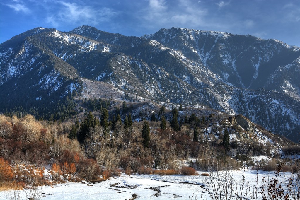
View from Cottonwood Heights
My view yesterday while driving Max to preschool.
Silver Lake reservoir fun
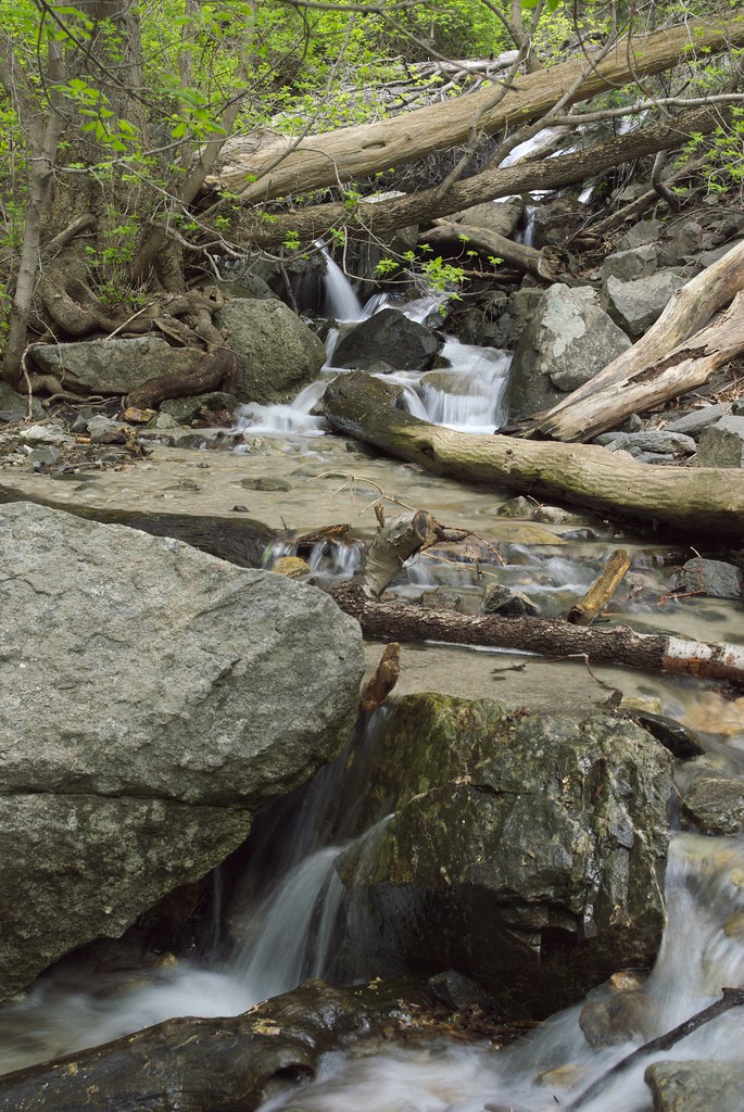
Spring Runoff
All Is Calm...Wind Please Don't Blow

Silver Lake reservoir fun
20150127-_JBS8307
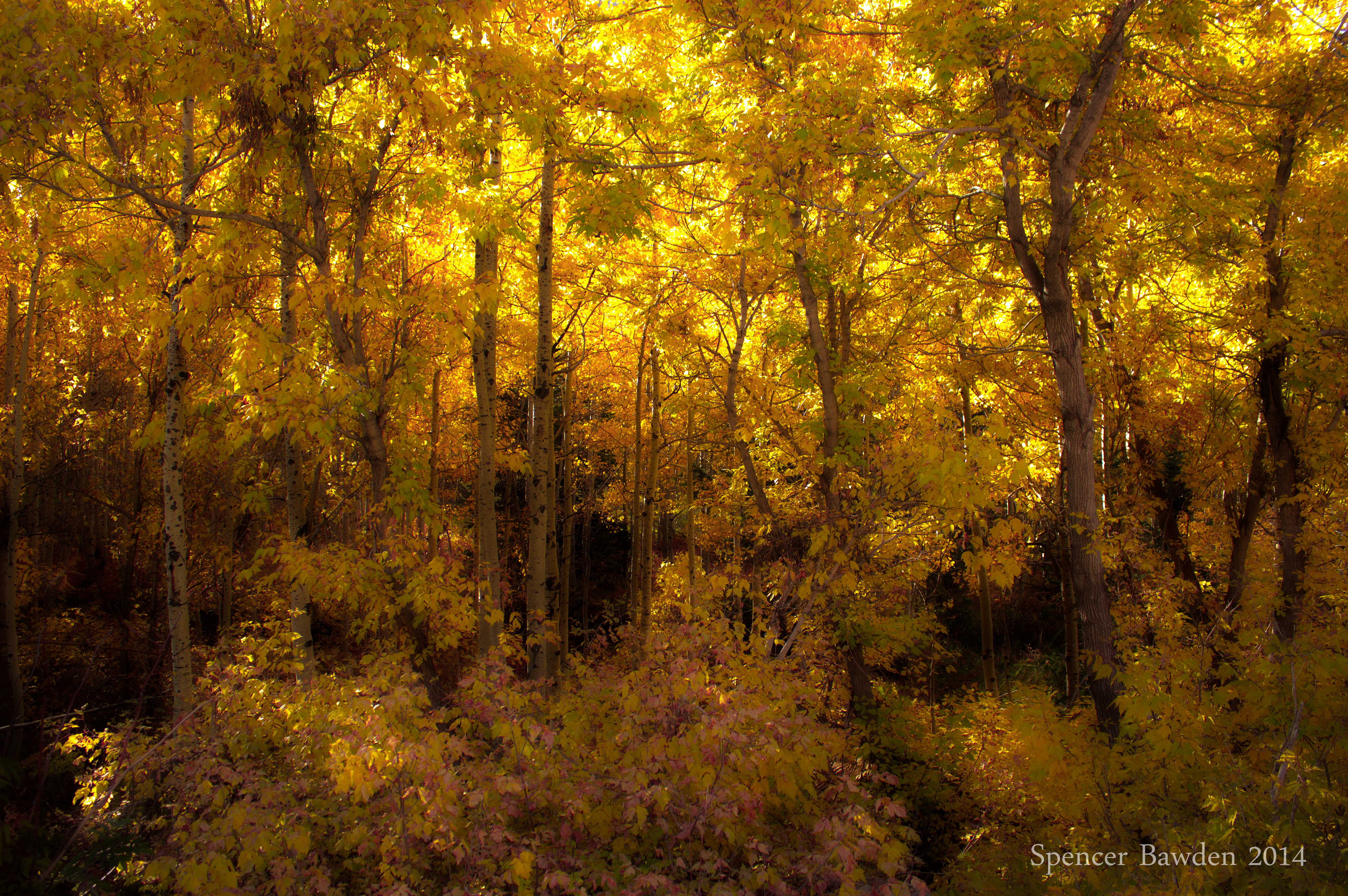
Golden Forest
Lower Bell Canyon Reservoir

Pieces Of My Shattered Mirror
Dissociation Station

LDS Temple Spire

Upper Red Pine Res.

the Fog goes on
Silver Lake reservoir fun

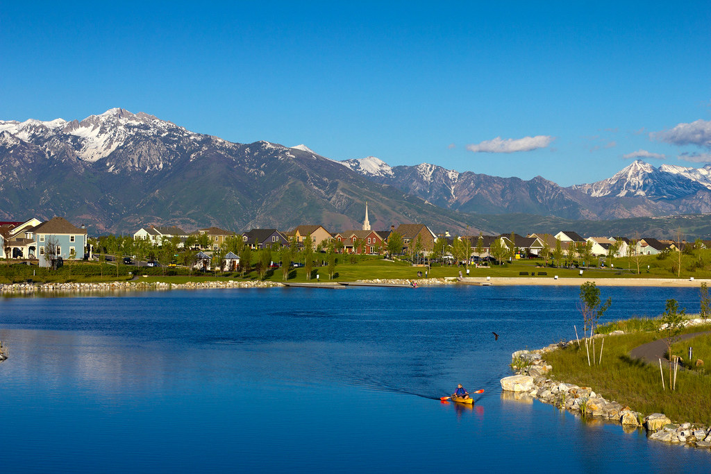
Draper-West
Stair Of The Grain

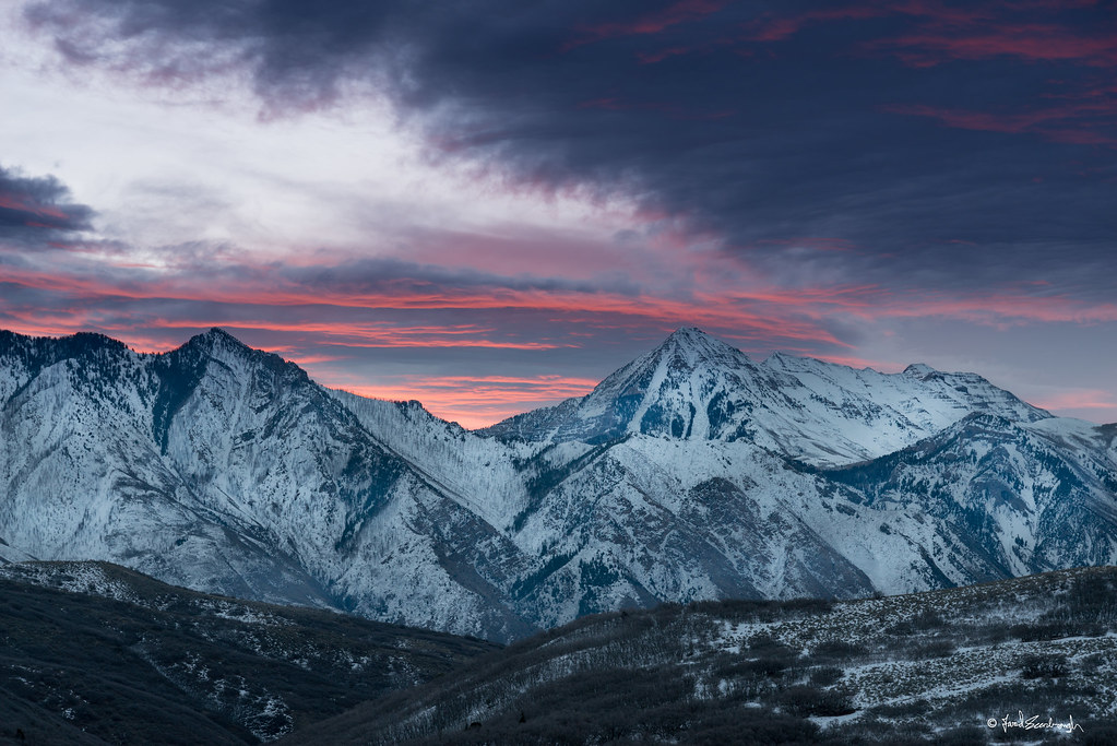
Moonrise over Wasatch Mountains, Utah

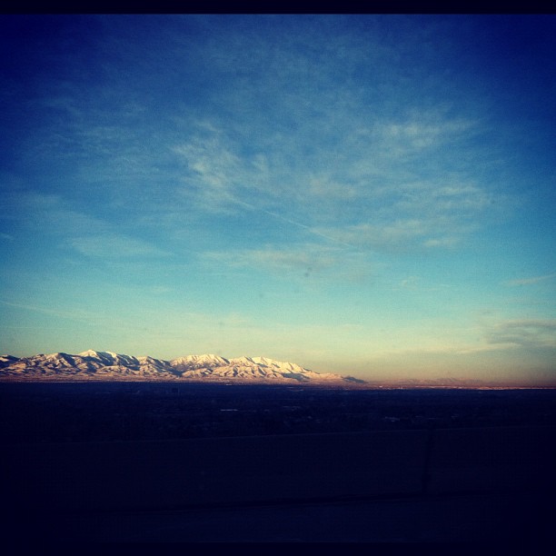
Draper- East
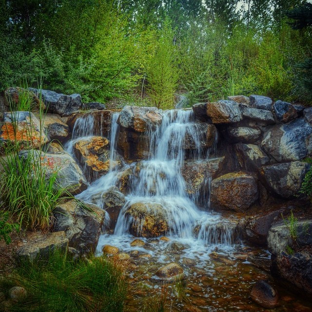
Babbling brook burbling at #thanksgivingpointgardens
Evening's last rays of sun on Lone Peak
#paragliders #paragliding in #utah #summer2013 Awesome morning. Sweetness!!
Topographic Map of Draper Utah Temple- The Church of Jesus Christ of Latter-day Saints, Canyon Vista Ln, Draper, UT, USA
Find elevation by address:

Places near Draper Utah Temple- The Church of Jesus Christ of Latter-day Saints, Canyon Vista Ln, Draper, UT, USA:
14065 Canyon Vista Ln
Mule Deer Drive
1911 Gray Fox Dr
14056 Mule Deer Dr
14062 Mule Deer Dr
14752 Haddington Rd
Toll Brothers At Edelweiss
1867 Springdale Way
14886 Traverse Ridge Rd
2163 Village Vista Dr
2163 Village Vista Dr
Ravine Rock Way
15035 S Round Tree Ln
15061 S Round Tree Ln
15164 Traverse Ridge Rd
Lone Hill Drive
15228 Eagle Chase Dr
15242 Eagle Chase Dr
Eagle Crest Drive
Recent Searches:
- Elevation of Groblershoop, South Africa
- Elevation of Power Generation Enterprises | Industrial Diesel Generators, Oak Ave, Canyon Country, CA, USA
- Elevation of Chesaw Rd, Oroville, WA, USA
- Elevation of N, Mt Pleasant, UT, USA
- Elevation of 6 Rue Jules Ferry, Beausoleil, France
- Elevation of Sattva Horizon, 4JC6+G9P, Vinayak Nagar, Kattigenahalli, Bengaluru, Karnataka, India
- Elevation of Great Brook Sports, Gold Star Hwy, Groton, CT, USA
- Elevation of 10 Mountain Laurels Dr, Nashua, NH, USA
- Elevation of 16 Gilboa Ln, Nashua, NH, USA
- Elevation of Laurel Rd, Townsend, TN, USA