Elevation of Dove Ln, Hurt, VA, USA
Location: United States > Virginia > Pittsylvania County > Staunton River > Hurt >
Longitude: -79.31079
Latitude: 37.037811
Elevation: 230m / 755feet
Barometric Pressure: 99KPa
Elevation Map:
Satellite Map:
Related Photos:
Ray Mill Road Side View
My view

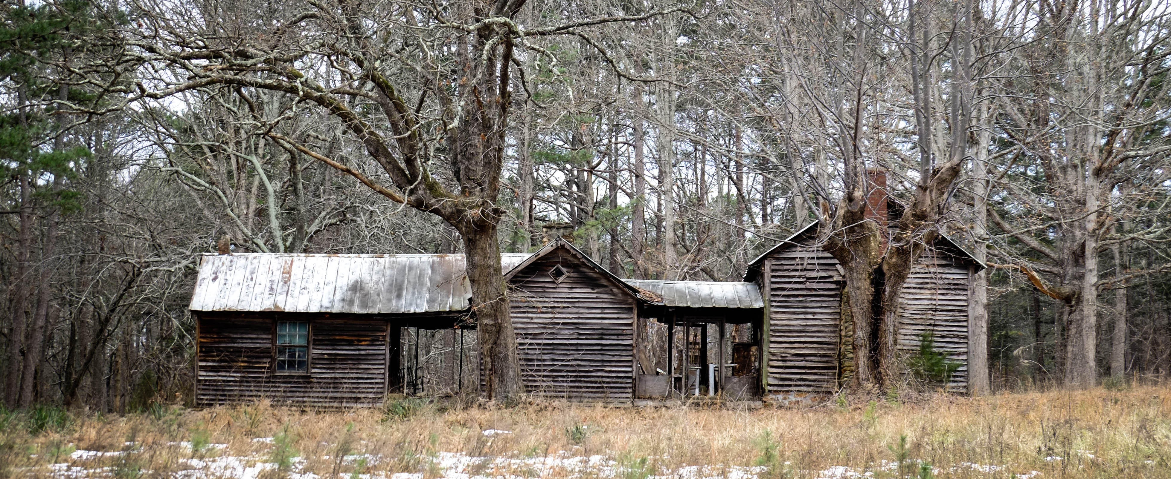
Deer View Road Barn_
From my view

DeerView Barn

Those are not happy party lights flashing in my rear view mirror. Undercover cars are sneaky.
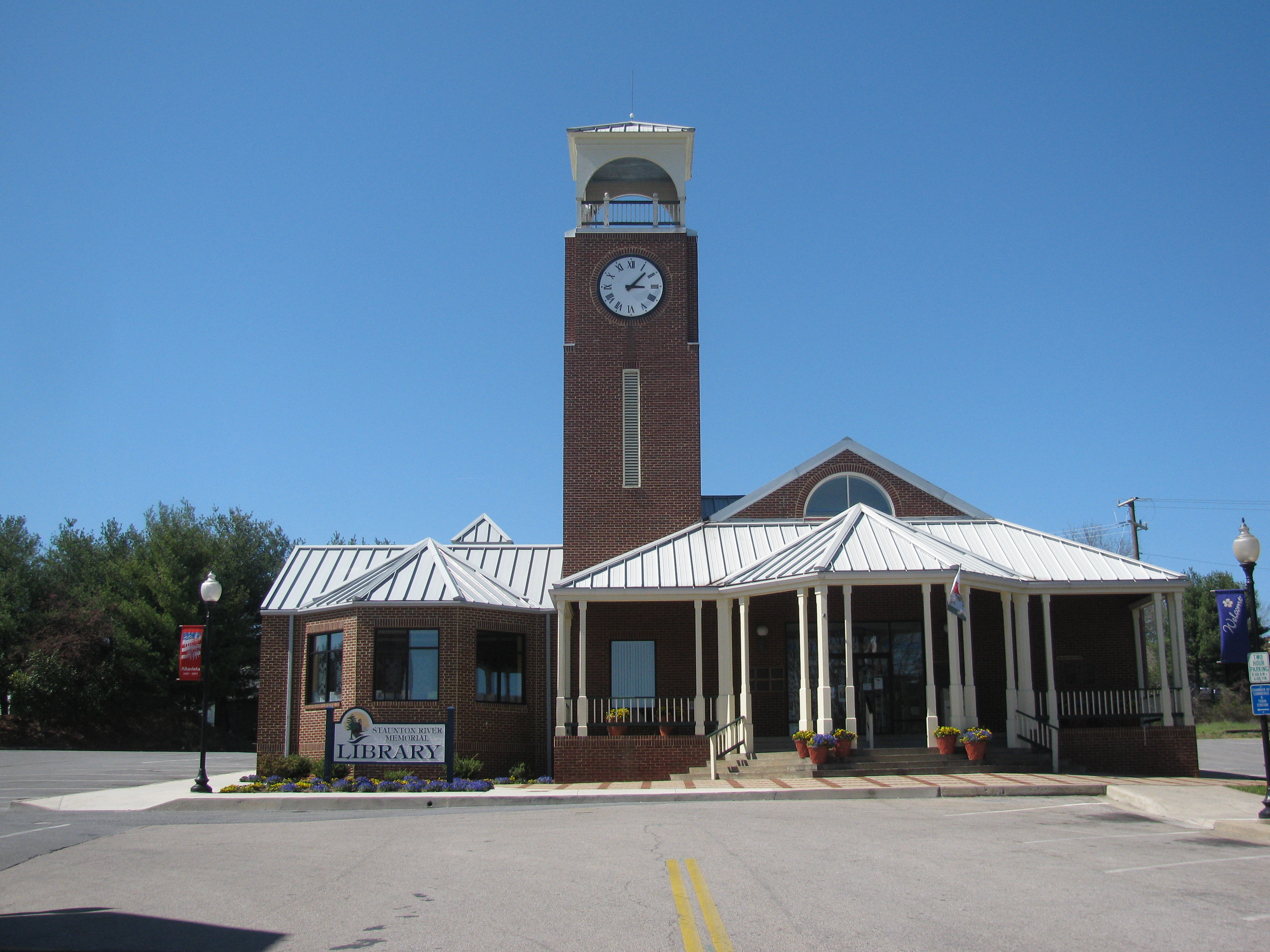
Altavista Public Library

jul04-13

lake-jun-19-10-548

2011-07-04328

lake-jun-19-10-529

lake-jun-19-10-546

2011-06-05163

lake-jun-19-10-551

jul04-85

lake-jun-19-10-547

jul04-84

IMG_2096.CR2-1

Pittsylvania Covered Bridge

lake-jun-19-10-525

lake-jul-18-10-24

lake-jun-19-10-526

lake-jun-19-10-482

lake-jun-19-10-354

IMG_2358.CR2-1

lake-jun-19-10-484
Topographic Map of Dove Ln, Hurt, VA, USA
Find elevation by address:

Places near Dove Ln, Hurt, VA, USA:
Staunton River
Spring Road
Roark Mill Rd, Hurt, VA, USA
Telegraph Rd, Gretna, VA, USA
Gretna
Gretna
Gretna
Gretna
Gretna
Gretna
Gretna
Gretna
Gretna
Gretna
Gretna
Gretna
1137 Runaway Bay Rd
E Gretna Rd, Gretna, VA, USA
134 Coffey St
Robertson Rd, Hurt, VA, USA
Recent Searches:
- Elevation of Corso Fratelli Cairoli, 35, Macerata MC, Italy
- Elevation of Tallevast Rd, Sarasota, FL, USA
- Elevation of 4th St E, Sonoma, CA, USA
- Elevation of Black Hollow Rd, Pennsdale, PA, USA
- Elevation of Oakland Ave, Williamsport, PA, USA
- Elevation of Pedrógão Grande, Portugal
- Elevation of Klee Dr, Martinsburg, WV, USA
- Elevation of Via Roma, Pieranica CR, Italy
- Elevation of Tavkvetili Mountain, Georgia
- Elevation of Hartfords Bluff Cir, Mt Pleasant, SC, USA