Elevation of Dorado Needle, Washington, USA
Location: United States > Washington > Skagit County >
Longitude: -121.13861
Latitude: 48.5497222
Elevation: 2383m / 7818feet
Barometric Pressure: 76KPa
Elevation Map:
Satellite Map:
Related Photos:

Time Stopped

Loose Leaf
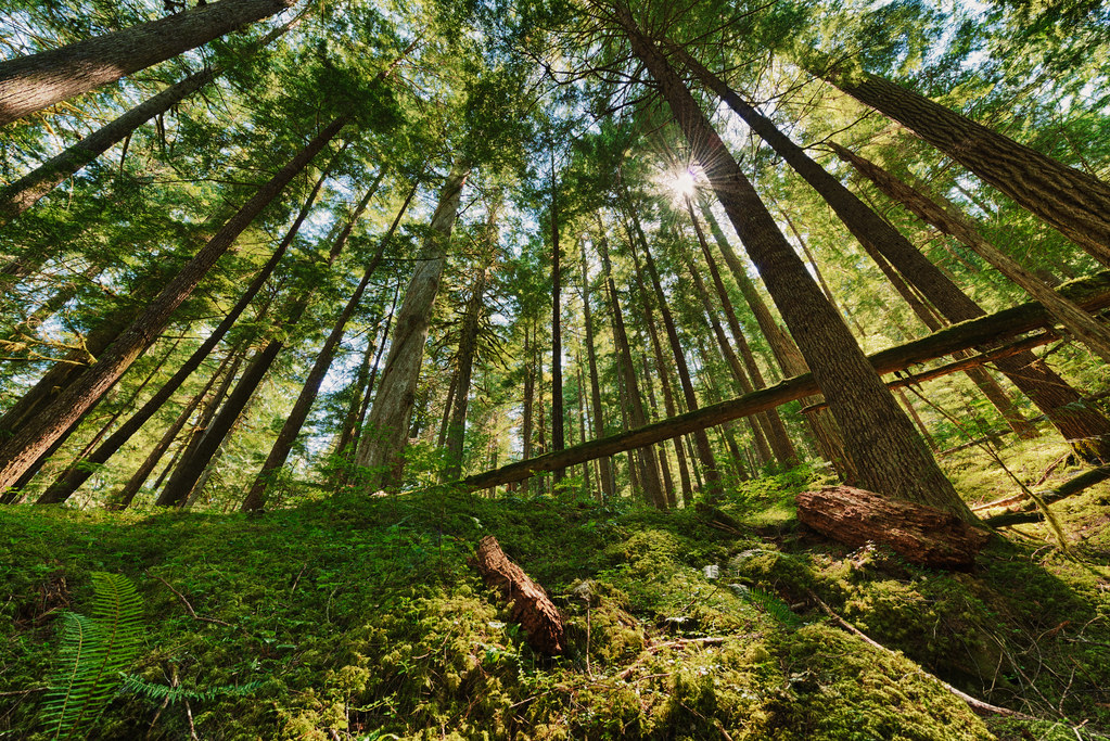
Forest Light
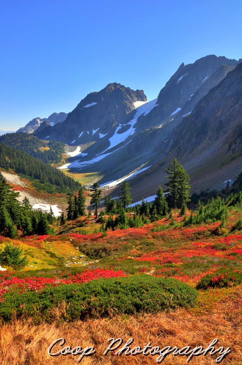
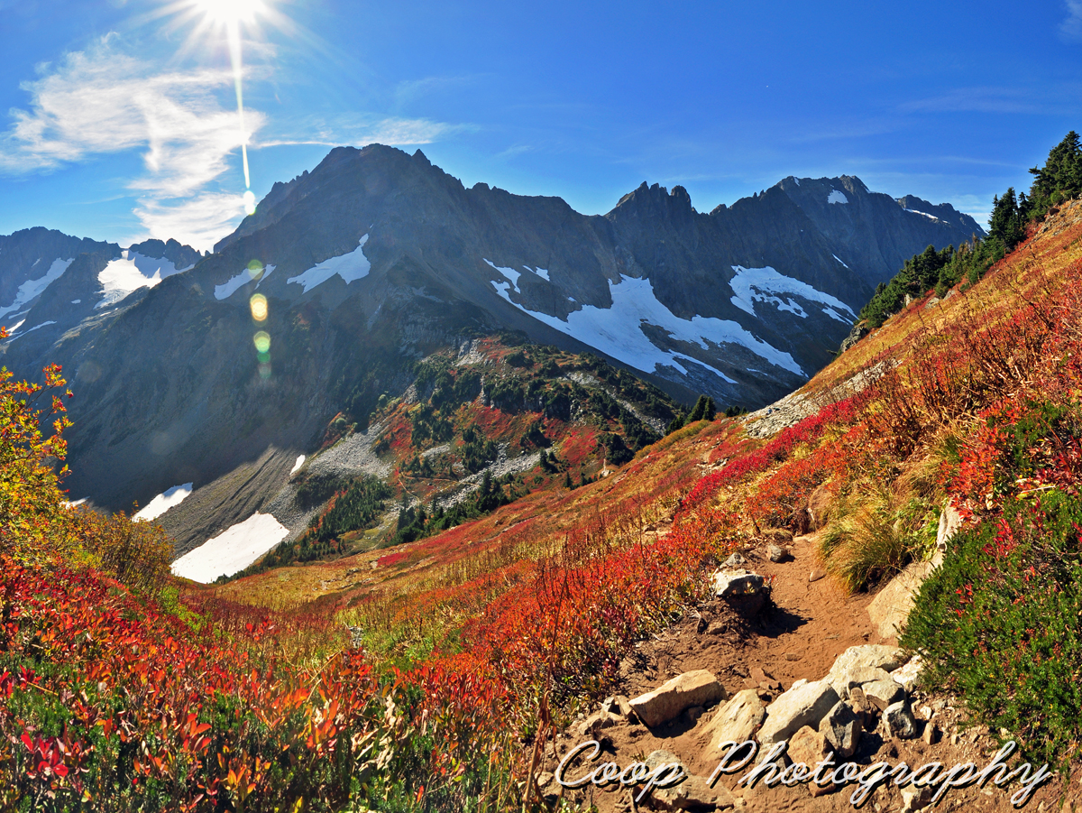
Fall On Cascade Pass
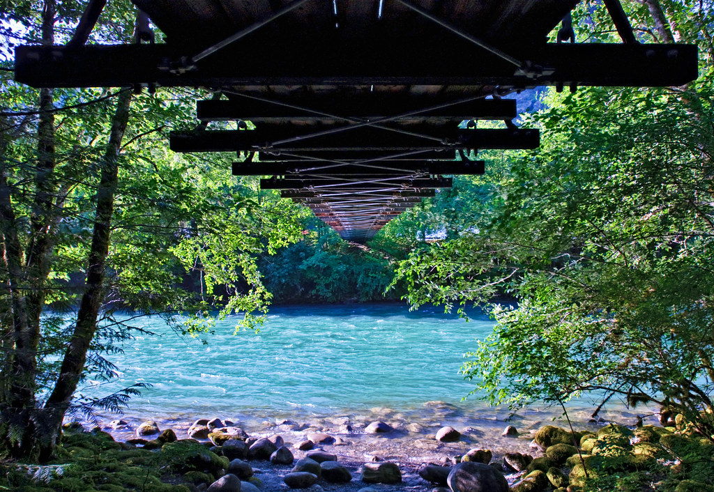
Crossing the Source
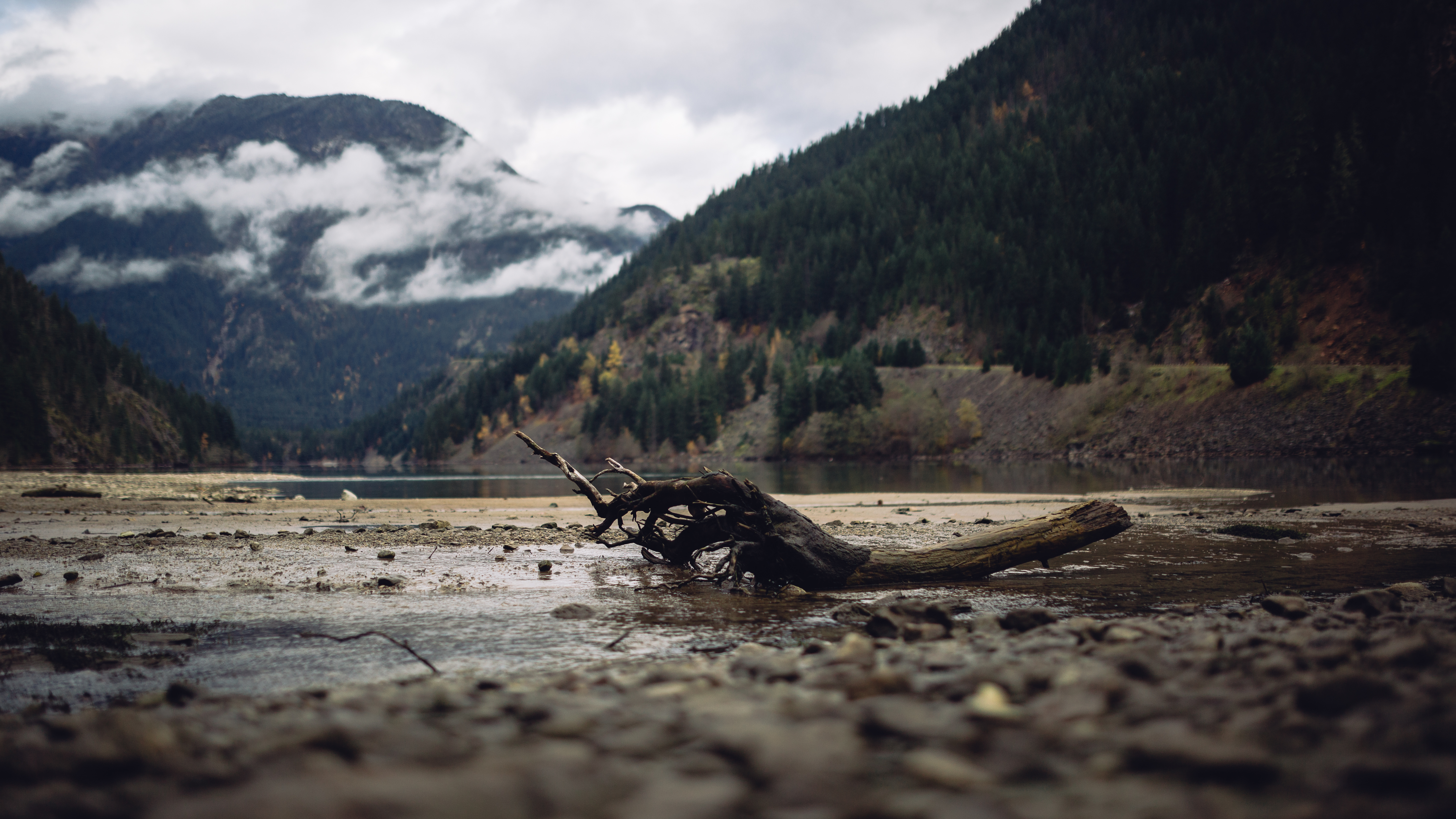
Falling Short
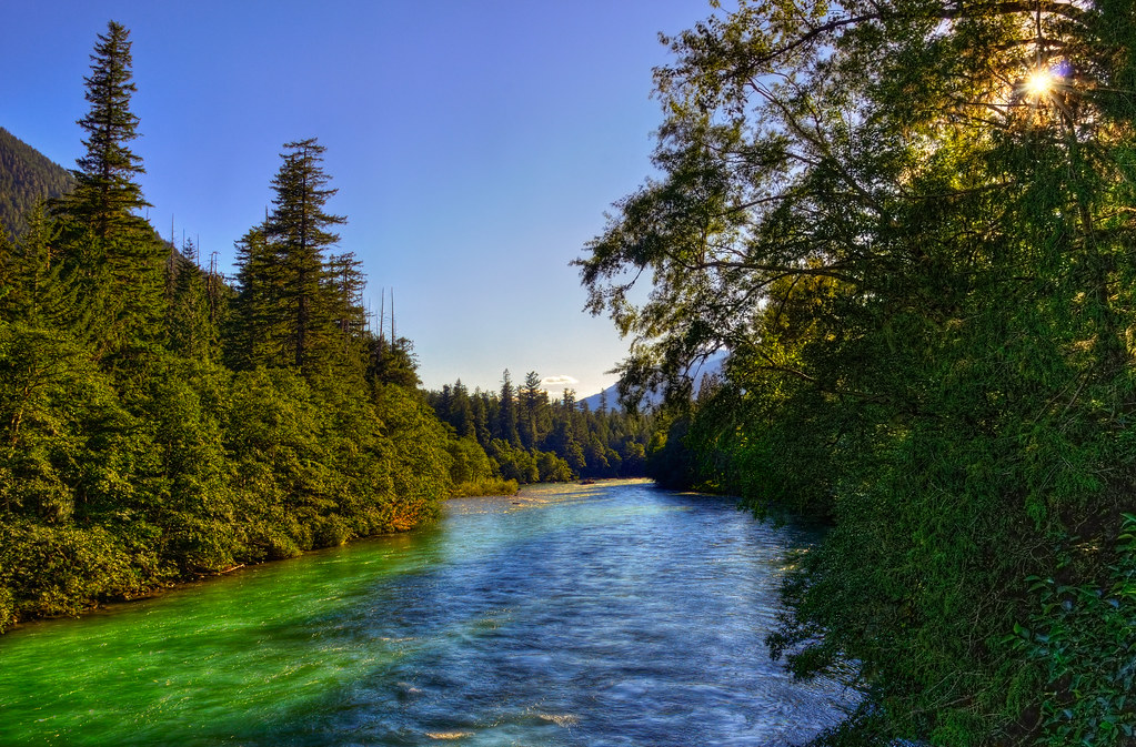
Finding the Pulse of a Salmon Running River: The Skagit at Newhalem

Cascade Pass
Blazing Trail

Thunder Knob Creek

Sahale Mountain Rocks
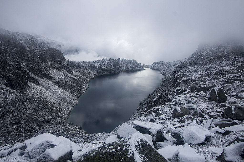
Hidden Lake Morning
View from lookout to the East
Sahale Arm 360 Panorama

Glacier To Lake

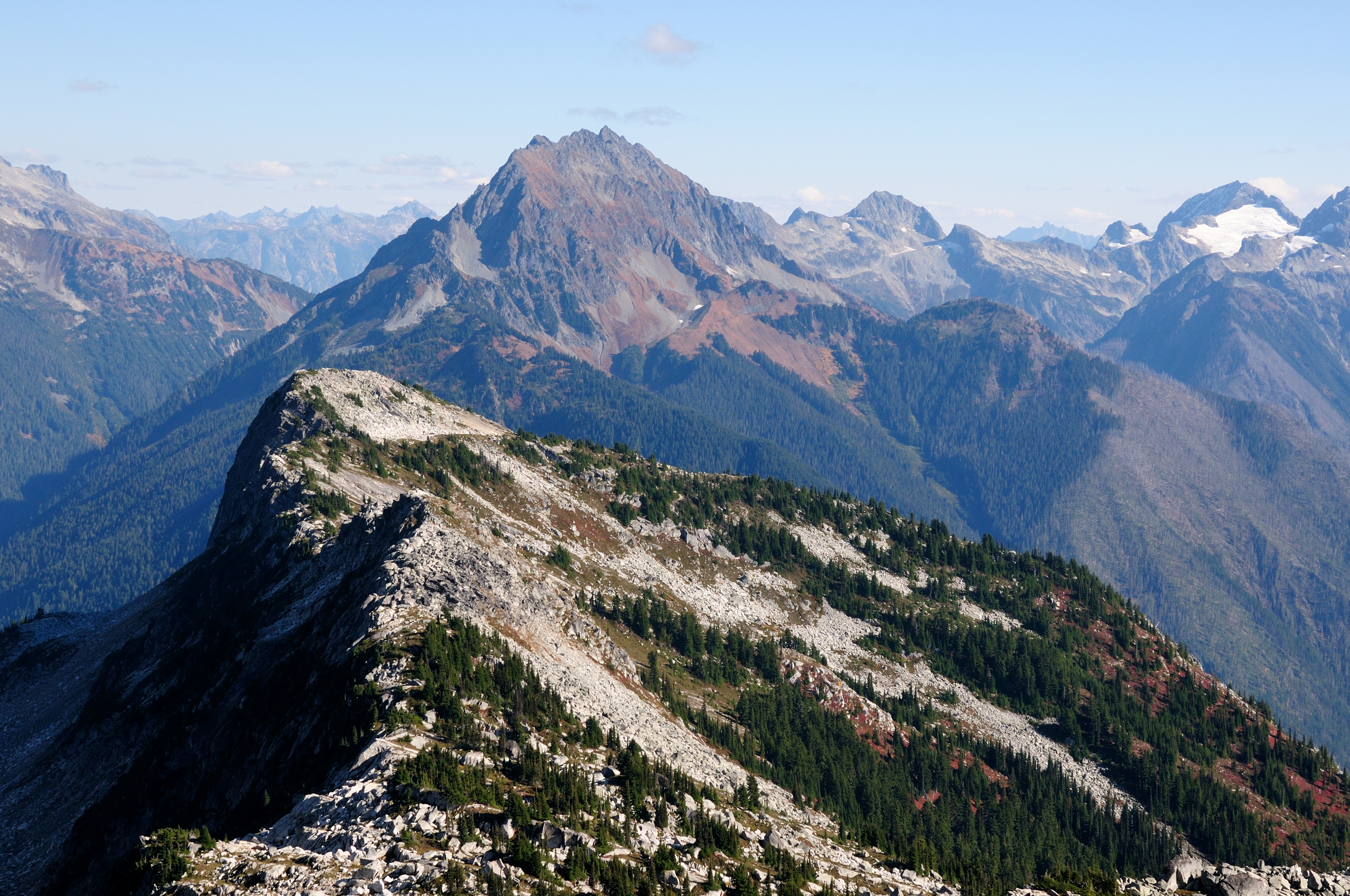
View from Sahale Arm Trail
Pickett Range (infrared)
The Order of A Logical Transformation
Mountain View
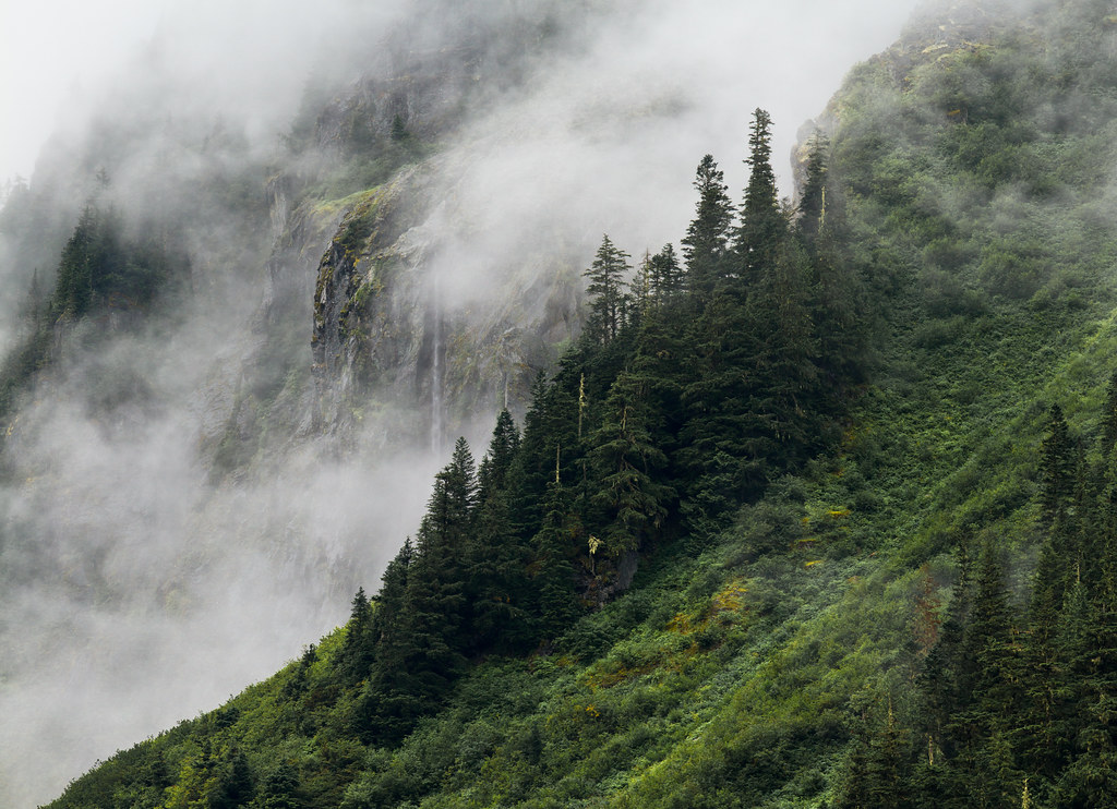
Mist and Waterfall

Worth the Climb
Topographic Map of Dorado Needle, Washington, USA
Find elevation by address:

Places near Dorado Needle, Washington, USA:
Eldorado Peak
Klawatti Peak
The Triad
Primus Peak
Tricouni Peak
Hidden Lake Peaks North
Snowfield Peak
Hidden Lake Peaks South
The Needle
Forbidden Peak
Johannesburg Mountain
Johannesburg Campground
Sahale Mountain
Paul Bunyans Stump
Pinnacle Peak
Mix-up Peak
Marble Creek Campground
Buckner Mountain
Diablo
Newhalem
Recent Searches:
- Elevation of Corso Fratelli Cairoli, 35, Macerata MC, Italy
- Elevation of Tallevast Rd, Sarasota, FL, USA
- Elevation of 4th St E, Sonoma, CA, USA
- Elevation of Black Hollow Rd, Pennsdale, PA, USA
- Elevation of Oakland Ave, Williamsport, PA, USA
- Elevation of Pedrógão Grande, Portugal
- Elevation of Klee Dr, Martinsburg, WV, USA
- Elevation of Via Roma, Pieranica CR, Italy
- Elevation of Tavkvetili Mountain, Georgia
- Elevation of Hartfords Bluff Cir, Mt Pleasant, SC, USA