Elevation of Dora Thorn Ridge, Montana, USA
Location: United States > Montana > Philipsburg >
Longitude: -113.13388
Latitude: 46.3425
Elevation: 2642m / 8668feet
Barometric Pressure: 73KPa
Elevation Map:
Satellite Map:
Related Photos:

View from Granite
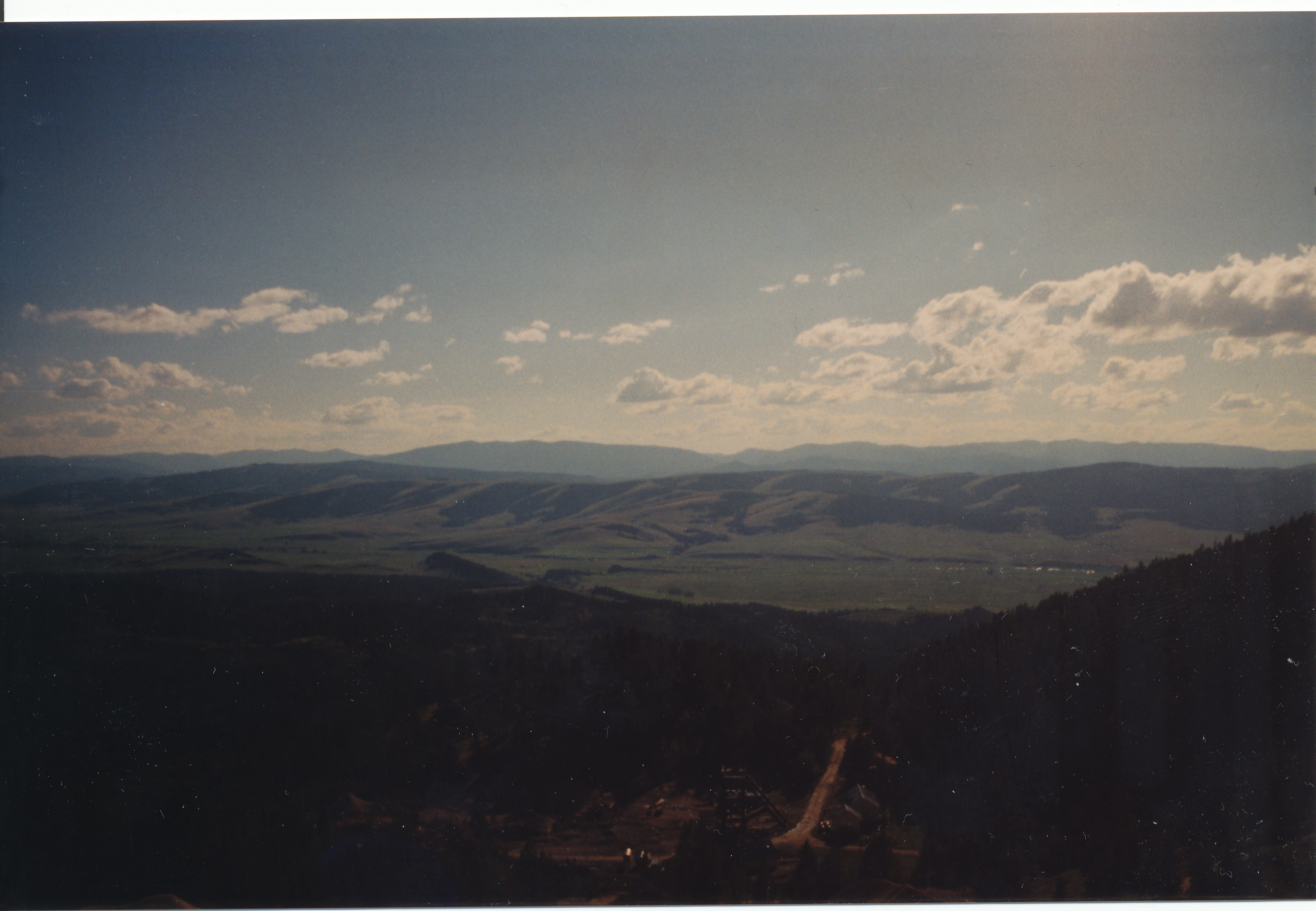
View from the Mine
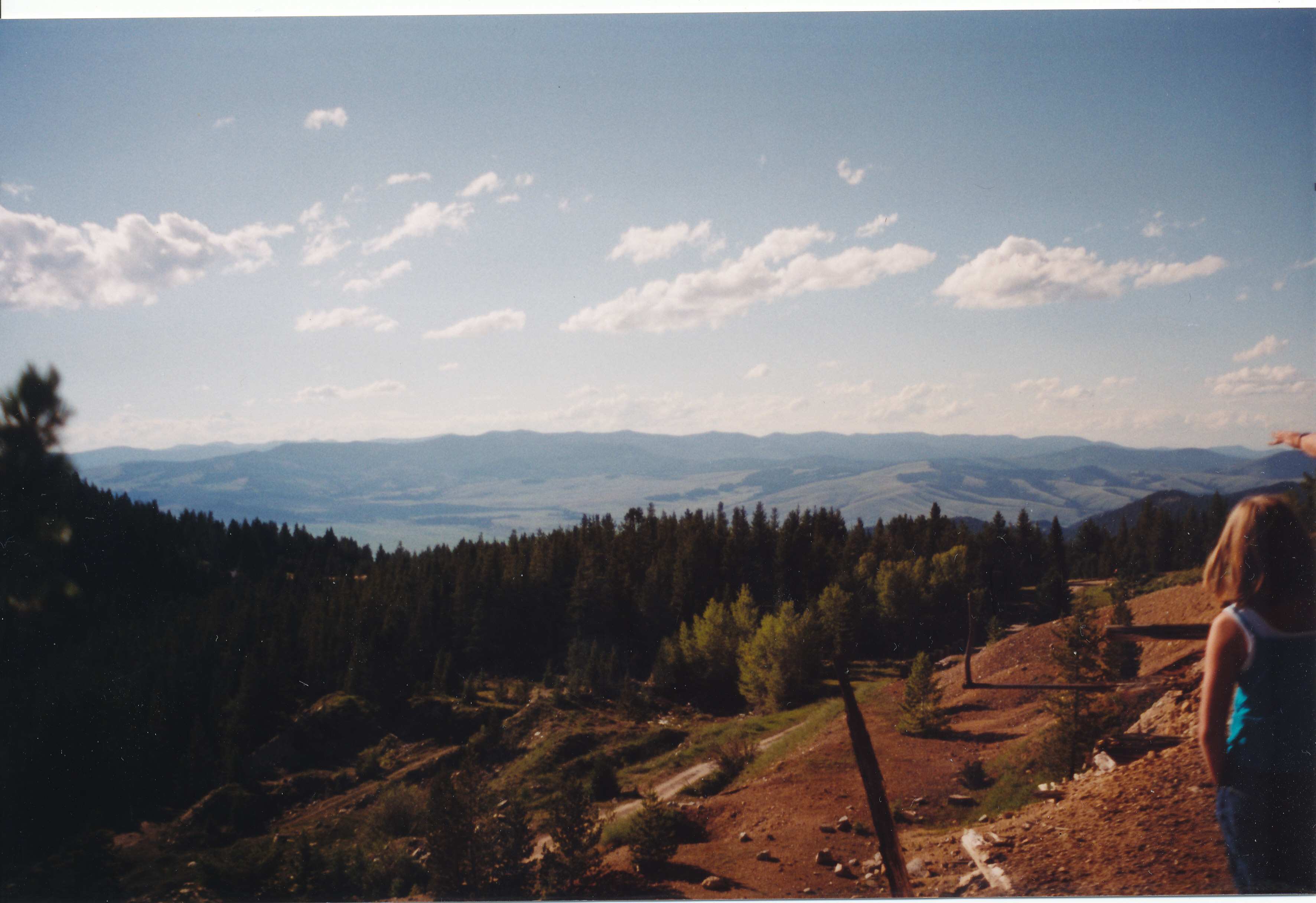
View from the Mine
Topographic Map of Dora Thorn Ridge, Montana, USA
Find elevation by address:

Places near Dora Thorn Ridge, Montana, USA:
Red Lion Mountain
Cable Mountain
Welcome Hill
East Goat Mountain
Rumsey Rd, Philipsburg, MT, USA
Rumsey Mountain
Olson Mountain
Philipsburg
Grouse Hill
12 Cameron Ave, Anaconda, MT, USA
Deer Lodge Mountain
Meyers Dam
206 Rumsey St
10 Badger Bench Ln
Anaconda, MT, USA
Deer Lodge County
23 Red Tail Ct
816 W 4th St
Anaconda
718 E Park Ave
Recent Searches:
- Elevation of Corso Fratelli Cairoli, 35, Macerata MC, Italy
- Elevation of Tallevast Rd, Sarasota, FL, USA
- Elevation of 4th St E, Sonoma, CA, USA
- Elevation of Black Hollow Rd, Pennsdale, PA, USA
- Elevation of Oakland Ave, Williamsport, PA, USA
- Elevation of Pedrógão Grande, Portugal
- Elevation of Klee Dr, Martinsburg, WV, USA
- Elevation of Via Roma, Pieranica CR, Italy
- Elevation of Tavkvetili Mountain, Georgia
- Elevation of Hartfords Bluff Cir, Mt Pleasant, SC, USA