Elevation of Deer Lodge Mountain, Montana, USA
Location: United States > Montana > Powell County > Deer Lodge >
Longitude: -112.94949
Latitude: 46.3585384
Elevation: 2950m / 9678feet
Barometric Pressure: 71KPa
Elevation Map:
Satellite Map:
Related Photos:
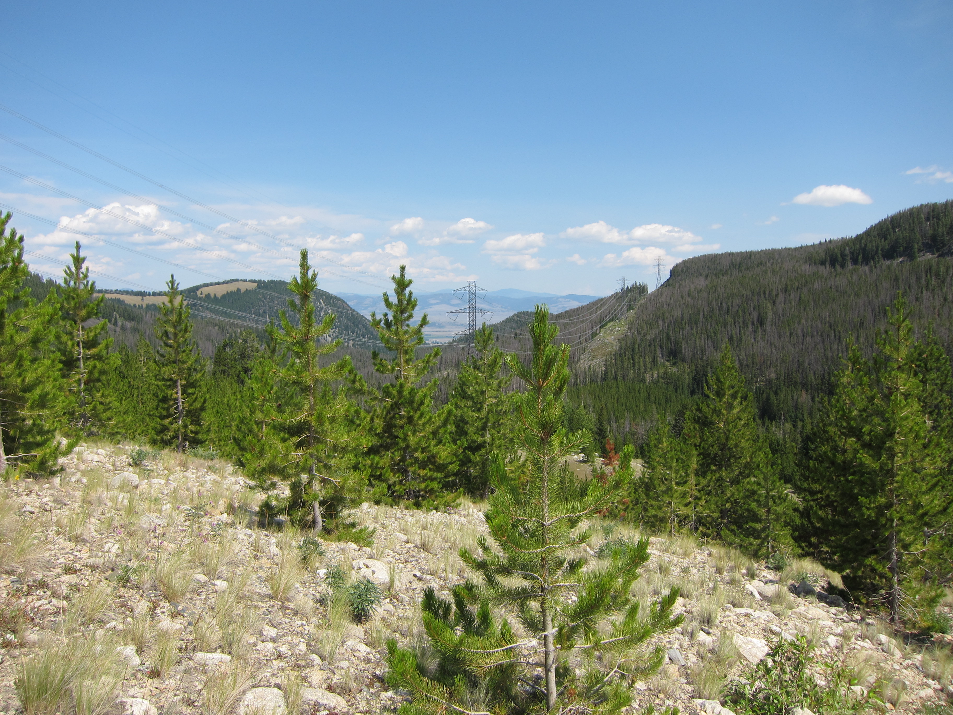
IMG_1752
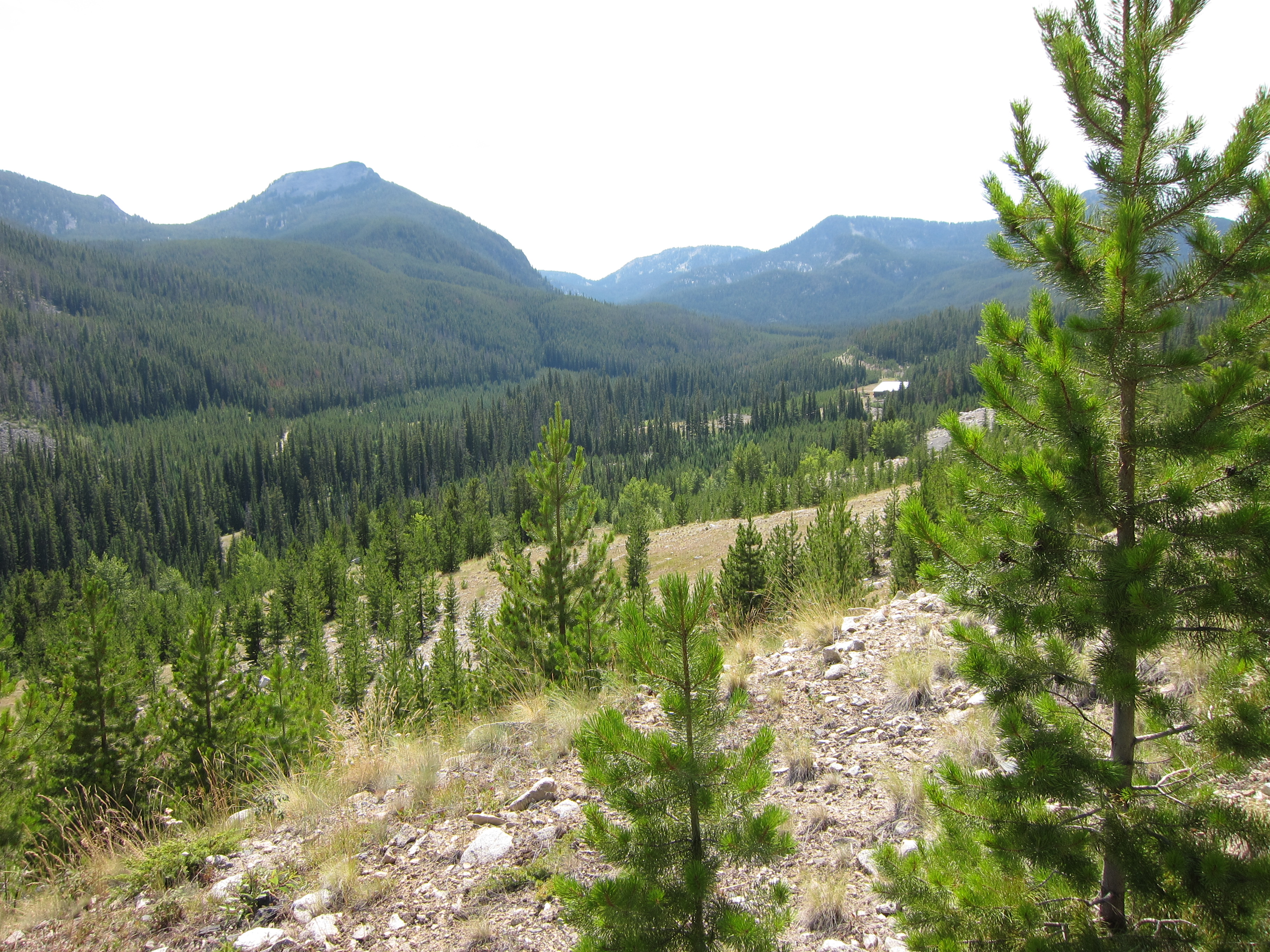
IMG_1751
Topographic Map of Deer Lodge Mountain, Montana, USA
Find elevation by address:

Places near Deer Lodge Mountain, Montana, USA:
East Goat Mountain
Dora Thorn Ridge
Olson Mountain
206 Rumsey St
Deer Lodge
I-90 Frontage Rd, Deer Lodge, MT, USA
Clark St, Deer Lodge, MT, USA
Meyers Dam
808 St Marys Ave
823 Milwaukee Ave
Welcome Hill
816 W 4th St
718 E Park Ave
Anaconda
Warm Springs
Hearst Way
Anaconda, MT, USA
Deer Lodge County
Red Lion Mountain
Cable Mountain
Recent Searches:
- Elevation of Corso Fratelli Cairoli, 35, Macerata MC, Italy
- Elevation of Tallevast Rd, Sarasota, FL, USA
- Elevation of 4th St E, Sonoma, CA, USA
- Elevation of Black Hollow Rd, Pennsdale, PA, USA
- Elevation of Oakland Ave, Williamsport, PA, USA
- Elevation of Pedrógão Grande, Portugal
- Elevation of Klee Dr, Martinsburg, WV, USA
- Elevation of Via Roma, Pieranica CR, Italy
- Elevation of Tavkvetili Mountain, Georgia
- Elevation of Hartfords Bluff Cir, Mt Pleasant, SC, USA