Elevation of Dodgeland School District, South Western Ave, Juneau, WI, USA
| Latitude | 43.4029279 |
|---|---|
| Longitude | -88.7158968 |
| Elevation | 270m / 886feet |
| Barometric Pressure | 981KPa |
Related Photos:

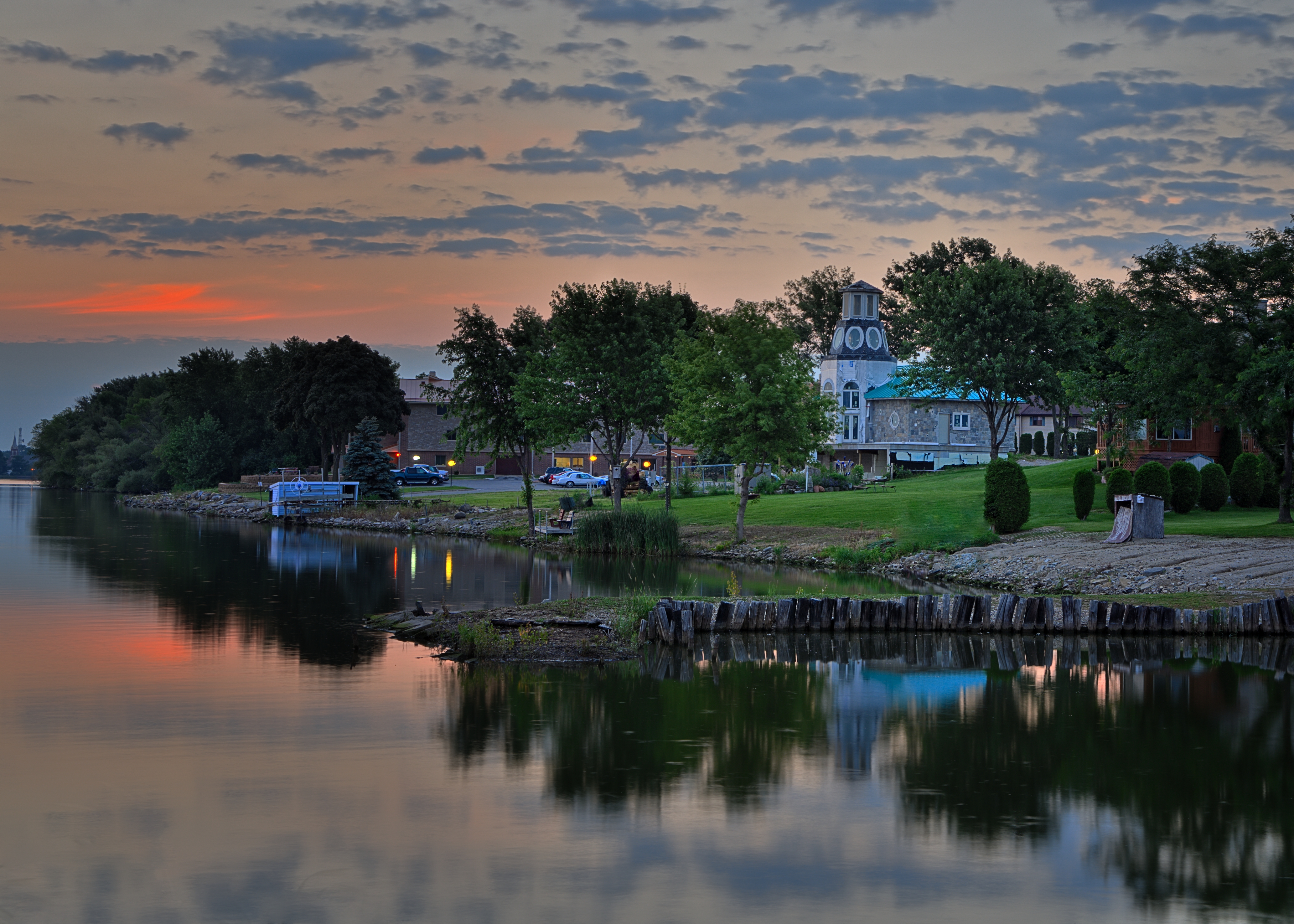
a view across the water...

Room With a View

Atop A City

Bend in the Rock River

a room with a view...

The Closer I Get

John Deere
Over the Hills and Through the Woods...

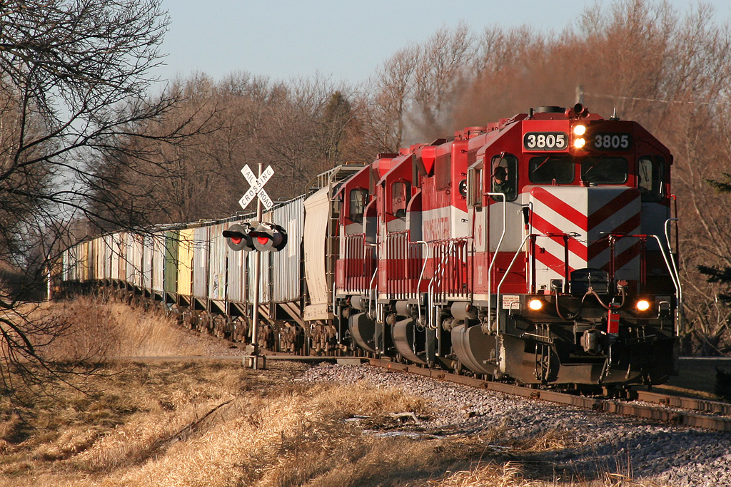
Storming through S. Beaver Dam with that epic whistle howling

A Complete View

Where is this again?

Chapel of the Archangels

Horicon Marsh 2012

Island Hopping

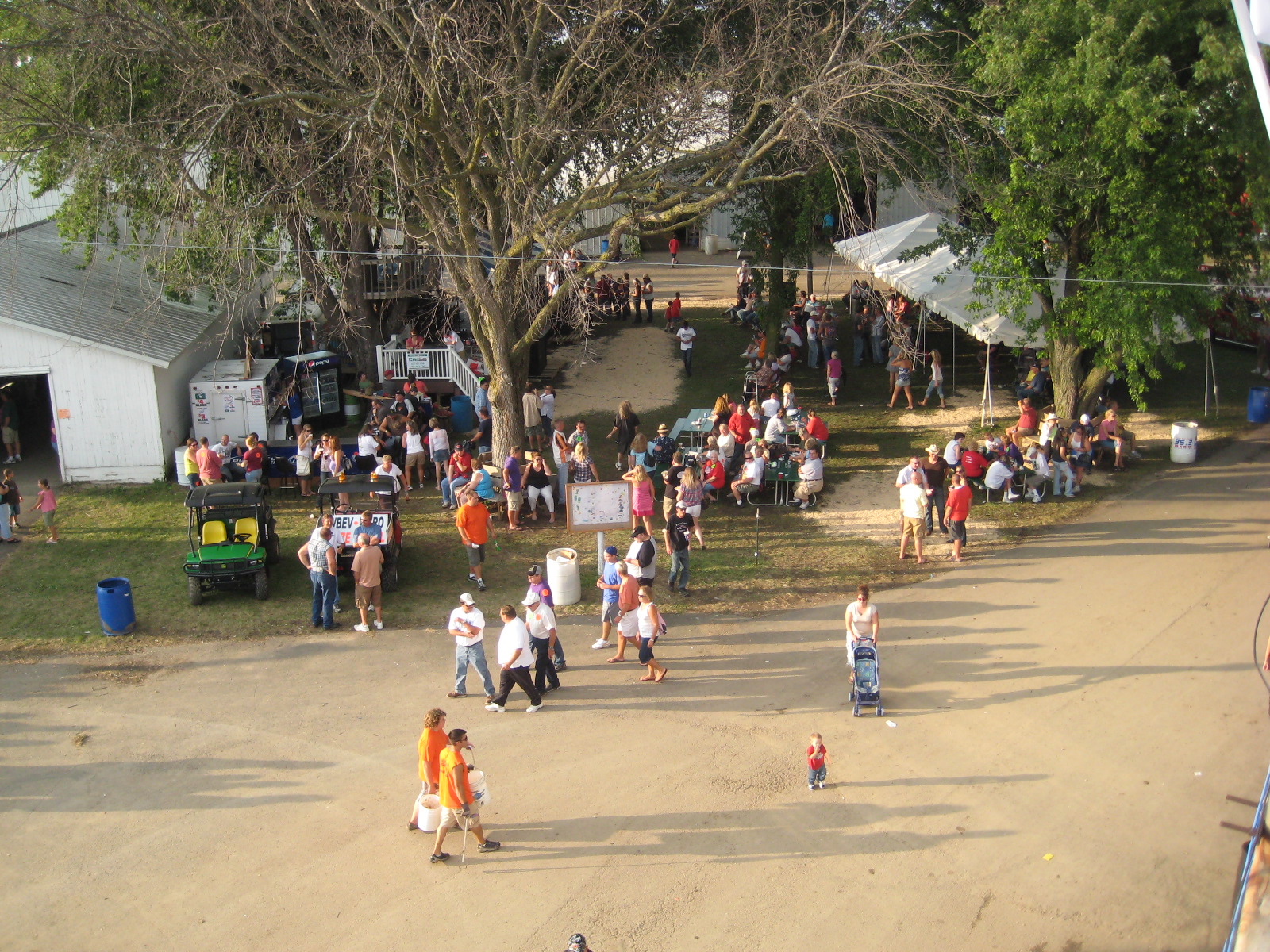
Overhead view of Dodge County Fair

Just Making A Point
Overhead view of Radio Park

Ledge Park trail

WSOX 9 Snow Plow

A Duck's View

Island and the Sun

Summer Impressions 2

Sunrise 068-D7K_4758And4more_fused_filtered

Sunrise 001-D7K_2965_tonemapped
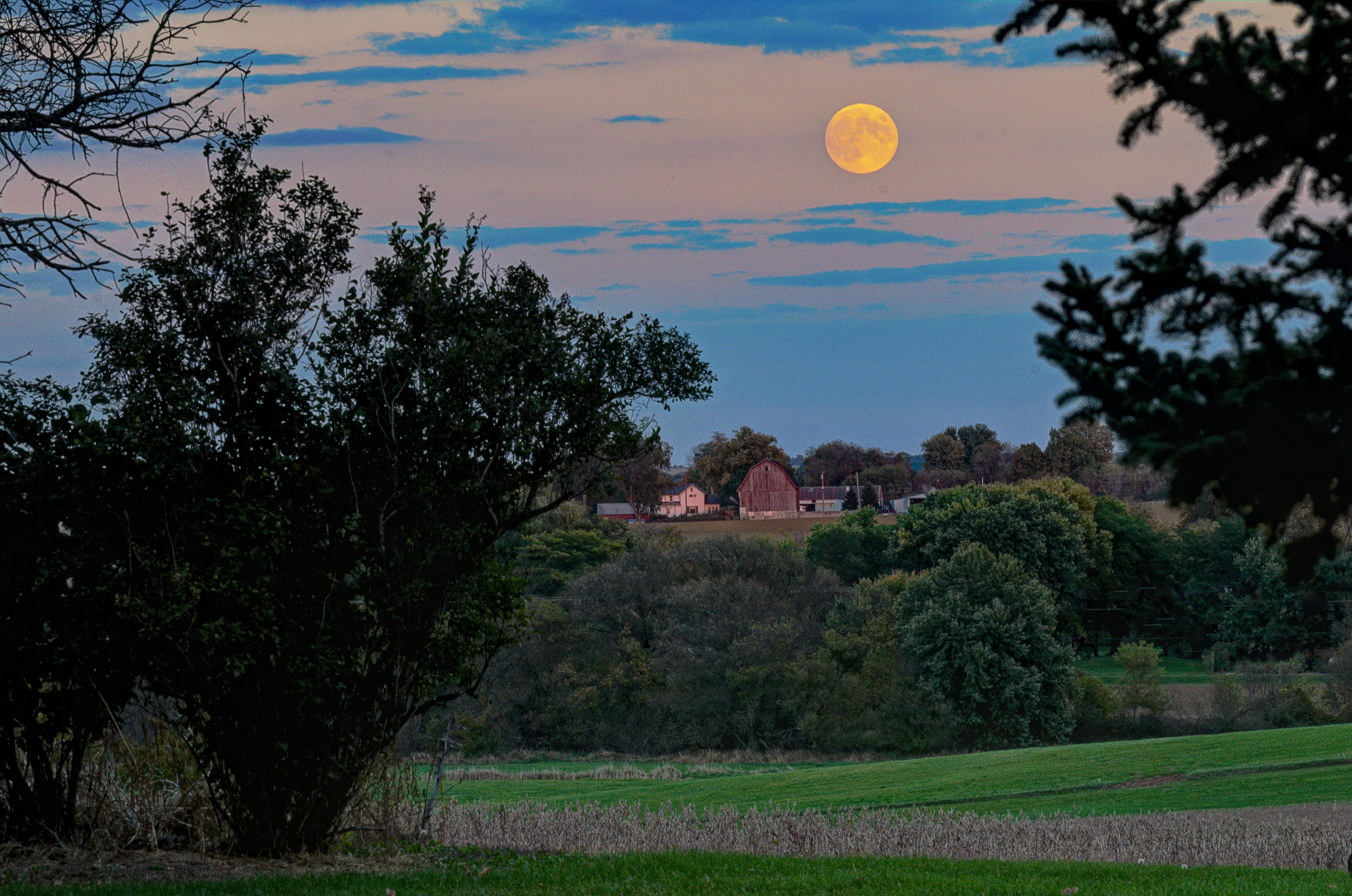
Moonrise 030-D7K_4175_fused
Sunrise 074-D7K_3038_tonemapped

HLCX 1075 on UP - 8/27/2014

springtime blossoms

Four Minutes and Forty-four Seconds

Golden Fields

A Semblance
Farm Fields

I Will Remain

Rock River

Trees Bending

This Location

Horicon Marsh
Topographic Map of Dodgeland School District, South Western Ave, Juneau, WI, USA
Find elevation by address:
Places near Dodgeland School District, South Western Ave, Juneau, WI, USA:
Dodge County
W6428
Oak Grove
Minnesota Junction
N7106
W6902 Prospect Rd
W5201
N7953 Swan Rd
N7866
Beaver Dam
Burnett
E Lake St, Horicon, WI, USA
Horicon
N8542
Burnett
Grant Street
408 Louden Ave
1516 N Spring St
N Spring St, Beaver Dam, WI, USA
Beaver Dam
Recent Searches:
- Elevation of 104, Chancery Road, Middletown Township, Bucks County, Pennsylvania, 19047, USA
- Elevation of 1212, Cypress Lane, Dayton, Liberty County, Texas, 77535, USA
- Elevation map of Central Hungary, Hungary
- Elevation map of Pest, Central Hungary, Hungary
- Elevation of Pilisszentkereszt, Pest, Central Hungary, Hungary
- Elevation of Dharamkot Tahsil, Punjab, India
- Elevation of Bhinder Khurd, Dharamkot Tahsil, Punjab, India
- Elevation of 2881, Chabot Drive, San Bruno, San Mateo County, California, 94066, USA
- Elevation of 10370, West 107th Circle, Westminster, Jefferson County, Colorado, 80021, USA
- Elevation of 611, Roman Road, Old Ford, Bow, London, England, E3 2RW, United Kingdom
- Elevation of 116, Beartown Road, Underhill, Chittenden County, Vermont, 05489, USA
- Elevation of Window Rock, Colfax County, New Mexico, 87714, USA
- Elevation of 4807, Rosecroft Street, Kempsville Gardens, Virginia Beach, Virginia, 23464, USA
- Elevation map of Matawinie, Quebec, Canada
- Elevation of Sainte-Émélie-de-l'Énergie, Matawinie, Quebec, Canada
- Elevation of Rue du Pont, Sainte-Émélie-de-l'Énergie, Matawinie, Quebec, J0K2K0, Canada
- Elevation of 8, Rue de Bécancour, Blainville, Thérèse-De Blainville, Quebec, J7B1N2, Canada
- Elevation of Wilmot Court North, 163, University Avenue West, Northdale, Waterloo, Region of Waterloo, Ontario, N2L6B6, Canada
- Elevation map of Panamá Province, Panama
- Elevation of Balboa, Panamá Province, Panama