Elevation map of Division No. 6, SK, Canada
Location: Canada > Saskatchewan >
Longitude: -104.3851074
Latitude: 50.6228913
Elevation: 686m / 2251feet
Barometric Pressure: 0KPa
Related Photos:
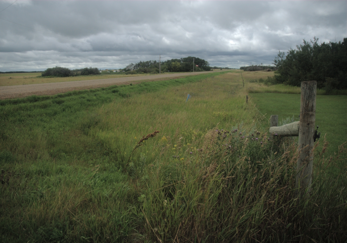
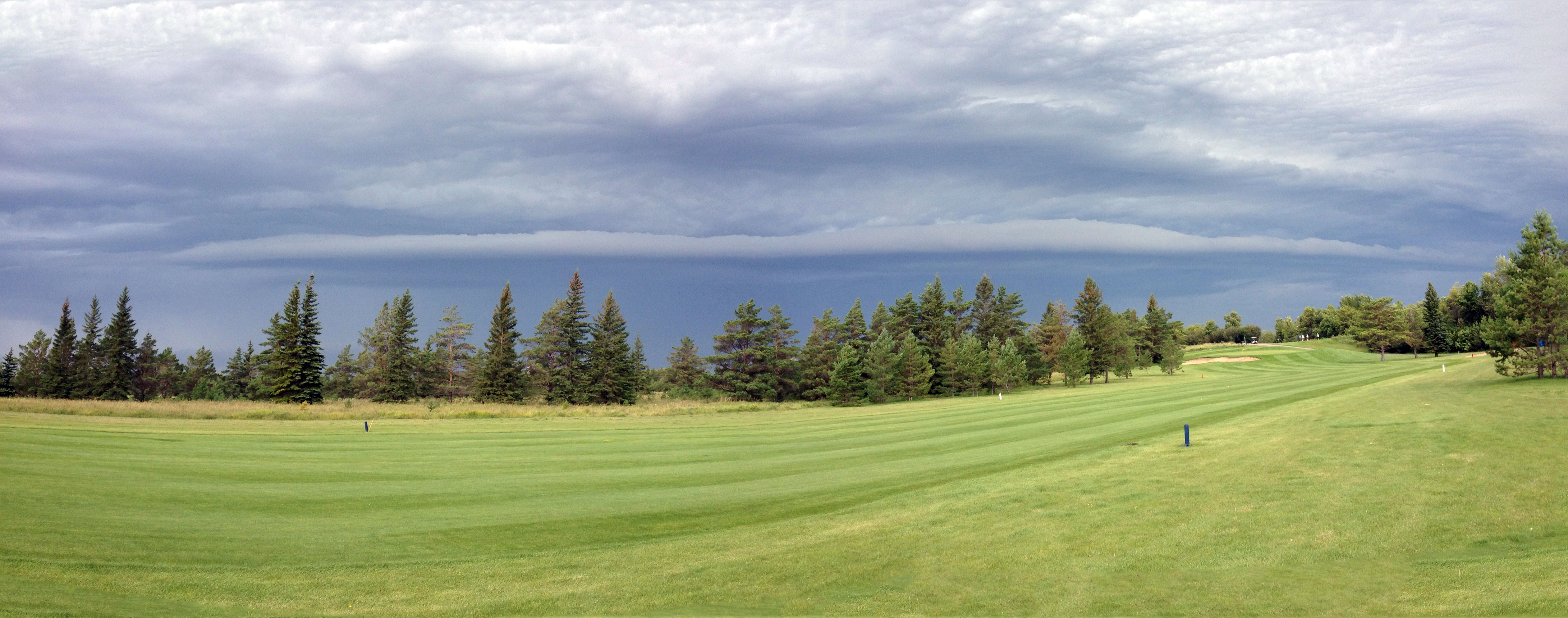
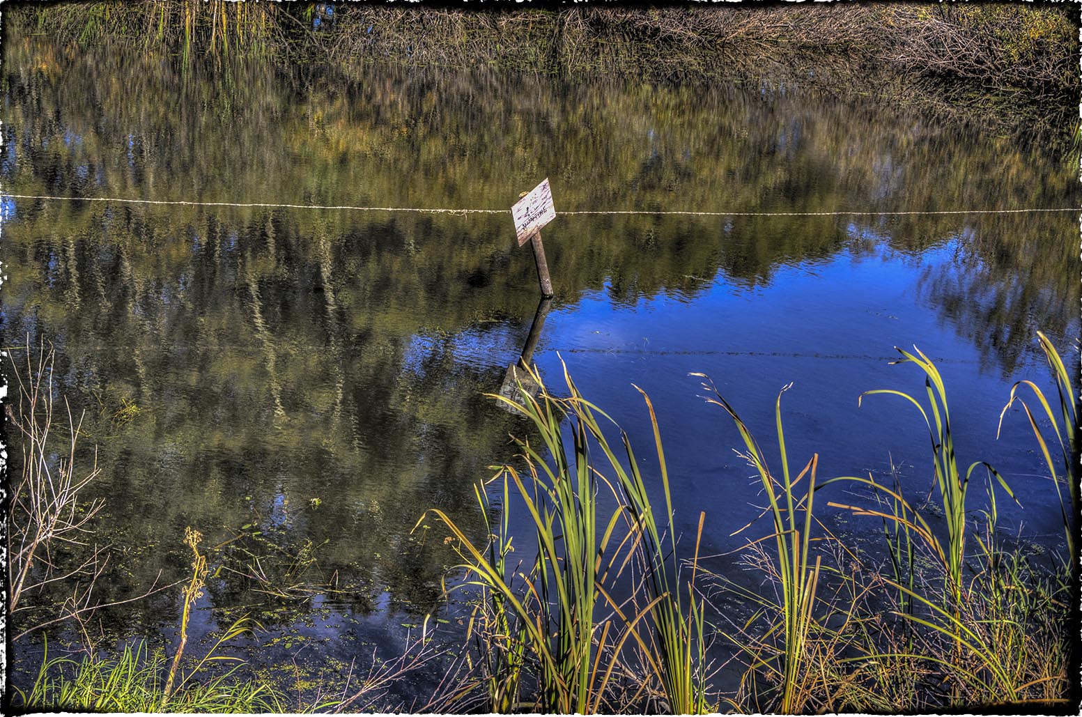
Prairie Grid Road
2014-08-30 09.22.27

Nice fall day
2014-08-30 09.22.37

2014-08-30 09.28.39
2014-08-30 09.28.47
Tor Aug 30

9000 km across Canada - Jour 9
Nice fall day

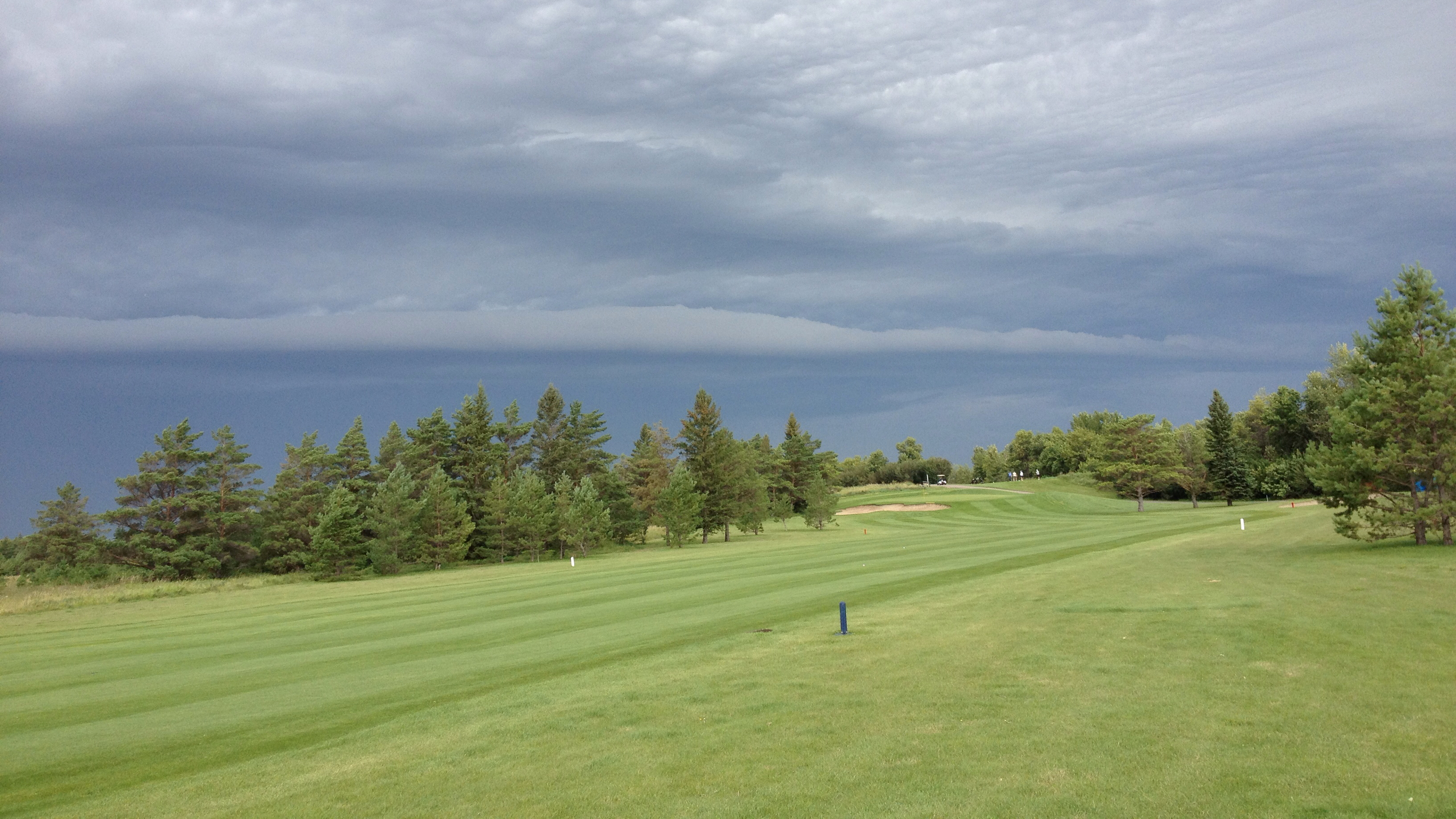
Last day of golf
Tor Hill East

Say whaaaaat :D

2014-08-30 09.27.20

2014-08-30 09.32.12

2014-08-30 09.37.01
2014-08-30 09.40.47

Besökare Samtidigt
60D_8241_11-09-21

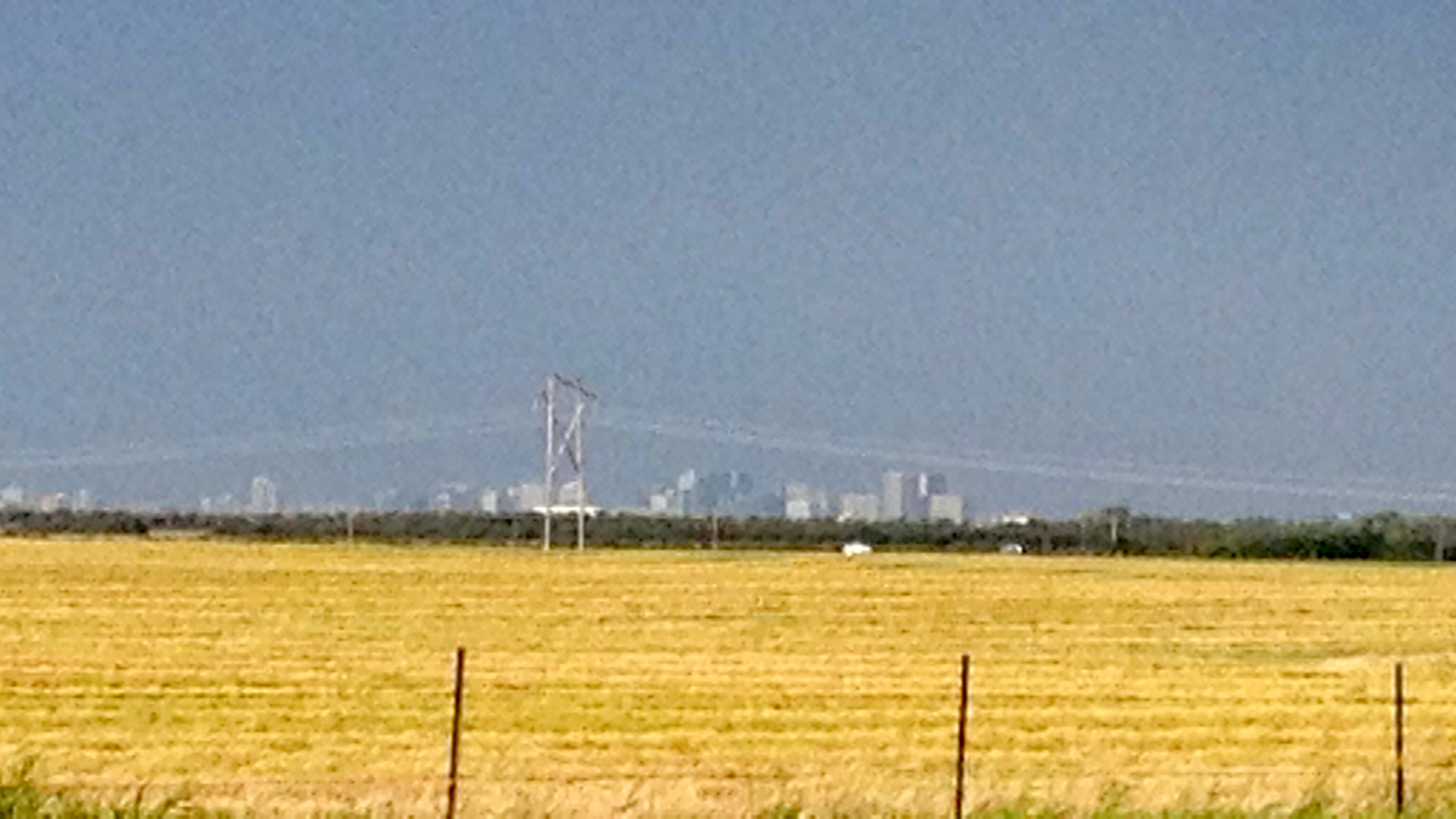
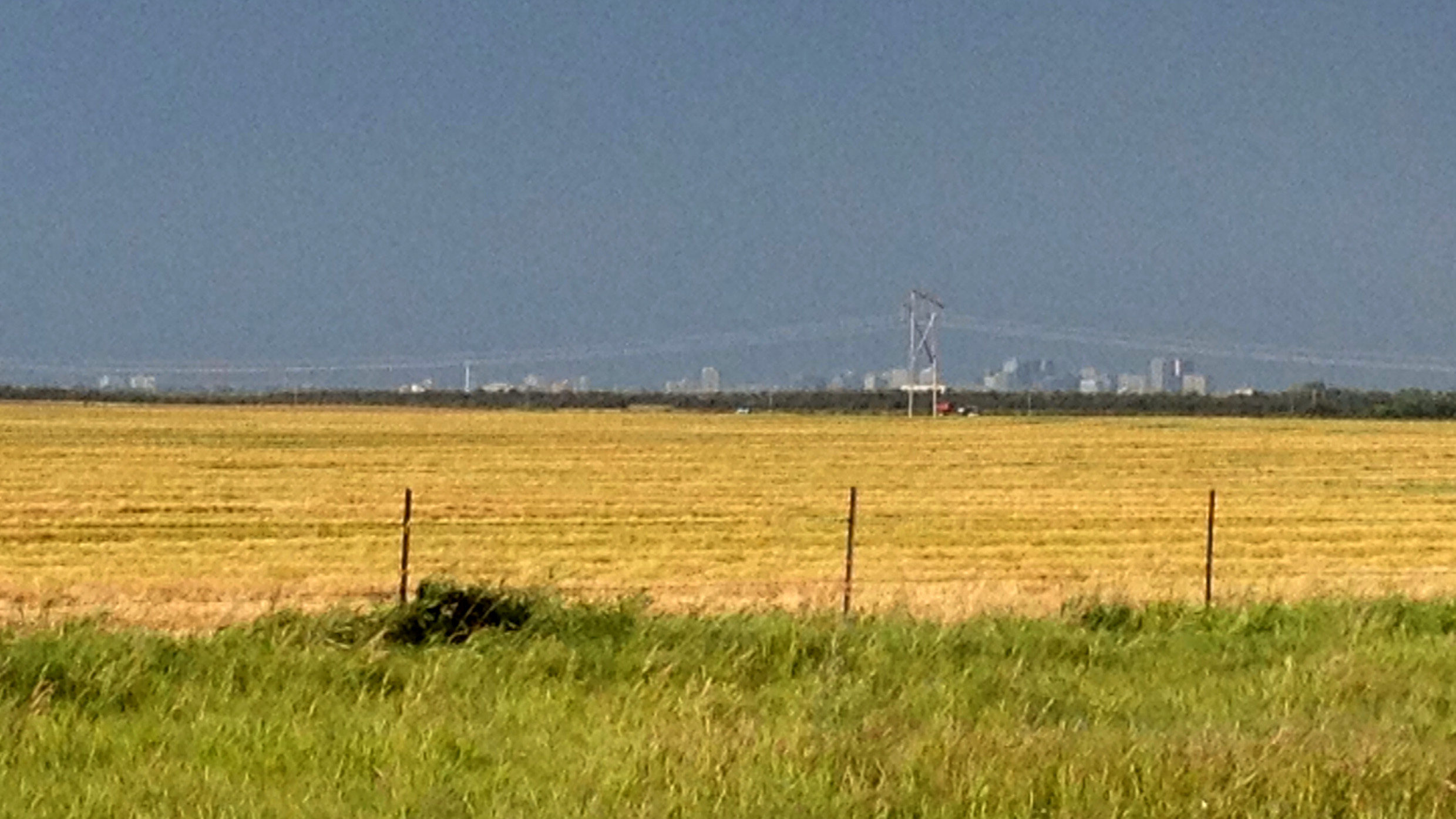
sun setting over Regina

Frak!!!

Cold R
Topographic Map of Division No. 6, SK, Canada
Find elevation by address:

Places in Division No. 6, SK, Canada:
Regina
Grandview Beach
Abernethy No. 186
North Qu'appelle No. 187
Silton
Buena Vista
Pense No. 160
Lumsden
Montmartre
Pense
Sherwood No. 159
Lebret
68 Deercrest Run
Edenwold No. 158
Martin St, Sedley, SK S0G 4K0, Canada
Prairie Ave, Penzance, SK S0G 3X0, Canada
Places near Division No. 6, SK, Canada:
Edenwold No. 158
Super 8 By Wyndham Regina
Arcola East-north Side
2218 Newis Bay
Richardson
Wascana View Drive
Bothwell Crescent
18 Kowalchuk Crescent
12051 Wascana Heights
Uplands
Arcola East-south Side
Lowest Rate Canada
Core
1440 14 Ave
North Central
Retallack St, Regina, SK S4T 2G8, Canada
Coronation Park
Mazinke Crescent
King St, Regina, SK S4R 4H2, Canada
Regina
Recent Searches:
- Elevation map of Litang County, Sichuan, China
- Elevation map of Madoi County, Qinghai, China
- Elevation of 3314, Ohio State Route 114, Payne, Paulding County, Ohio, 45880, USA
- Elevation of Sarahills Drive, Saratoga, Santa Clara County, California, 95070, USA
- Elevation of Town of Bombay, Franklin County, New York, USA
- Elevation of 9, Convent Lane, Center Moriches, Suffolk County, New York, 11934, USA
- Elevation of Saint Angelas Convent, 9, Convent Lane, Center Moriches, Suffolk County, New York, 11934, USA
- Elevation of 131st Street Southwest, Mukilteo, Snohomish County, Washington, 98275, USA
- Elevation of 304, Harrison Road, Naples, Cumberland County, Maine, 04055, USA
- Elevation of 2362, Timber Ridge Road, Harrisburg, Cabarrus County, North Carolina, 28075, USA
- Elevation of Ridge Road, Marshalltown, Marshall County, Iowa, 50158, USA
- Elevation of 2459, Misty Shadows Drive, Pigeon Forge, Sevier County, Tennessee, 37862, USA
- Elevation of 8043, Brightwater Way, Spring Hill, Williamson County, Tennessee, 37179, USA
- Elevation of Starkweather Road, San Luis, Costilla County, Colorado, 81152, USA
- Elevation of 5277, Woodside Drive, Baton Rouge, East Baton Rouge Parish, Louisiana, 70808, USA
- Elevation of 1139, Curtin Street, Shepherd Park Plaza, Houston, Harris County, Texas, 77018, USA
- Elevation of 136, Sellers Lane, Repton, Monroe County, Alabama, 36475, USA
- Elevation of 12914, Elmington Drive, Lakewood Forest, Houston, Harris County, Texas, 77429, USA
- Elevation of 417, Camelot Drive, Statesville, Iredell County, North Carolina, 28625, USA
- Elevation of 5792, Wildridge Road, Avon, Eagle County, Colorado, 81620, USA