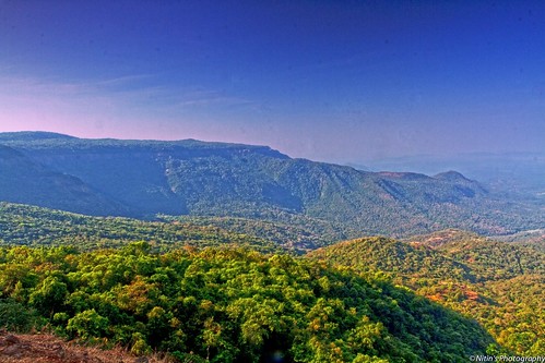
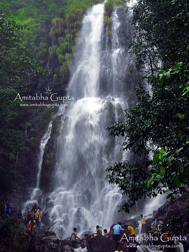
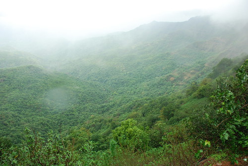
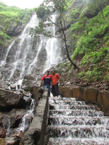
Elevation of Dhangarmola Primary School, Suleran, Maharashtra, India
Location: India > Maharashtra > Kolhapur > Suleran >
Longitude: 74.0904615
Latitude: 16.068699
Elevation: 687m / 2254feet
Barometric Pressure: 93KPa
Related Photos:
Topographic Map of Dhangarmola Primary School, Suleran, Maharashtra, India
Find elevation by address:

Places near Dhangarmola Primary School, Suleran, Maharashtra, India:
Ambade
Suleran
Ghatkarwadi
Parpoli
Dele
Dabhil
Dardewadi
Haloli
Latgaon
Vinayakwadi
Chivale
Antivade
Ite
Medhe Wadi
Satewadi
Simalwadi
Vesarde
Devarde
Mhasarang
Palyachahuda
Recent Searches:
- Elevation of Corso Fratelli Cairoli, 35, Macerata MC, Italy
- Elevation of Tallevast Rd, Sarasota, FL, USA
- Elevation of 4th St E, Sonoma, CA, USA
- Elevation of Black Hollow Rd, Pennsdale, PA, USA
- Elevation of Oakland Ave, Williamsport, PA, USA
- Elevation of Pedrógão Grande, Portugal
- Elevation of Klee Dr, Martinsburg, WV, USA
- Elevation of Via Roma, Pieranica CR, Italy
- Elevation of Tavkvetili Mountain, Georgia
- Elevation of Hartfords Bluff Cir, Mt Pleasant, SC, USA


