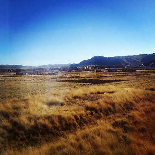
Elevation of Desaguadero, Peru
Location: Peru > Puno > Chucuito Province >
Longitude: -69.040395
Latitude: -16.563125
Elevation: 3834m / 12579feet
Barometric Pressure: 63KPa
Related Photos:
Topographic Map of Desaguadero, Peru
Find elevation by address:

Places in Desaguadero, Peru:
Places near Desaguadero, Peru:
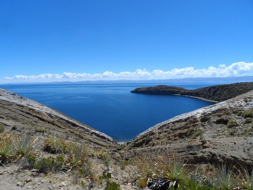
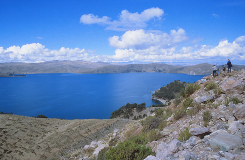
Lake Titicaca
3S, Zepita, Peru
Zepita
Chucuito Province
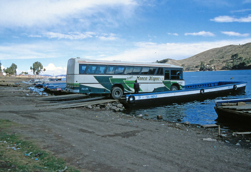
Manco Kapac
Copacabana
Plaza Sucre
Hostal La CÚpula
Hostal Las Olas
Comunidad Yumani
Isla Del Sol
Puerta De Hayu Marca (the Gate Of The Gods)
Lake Titicaca
El Collao Province
Lake Titicaca
Titilaka
Mina Santa Rosa
Taquile Island
Plaza De Taquile
Huillanopampa
Recent Searches:
- Elevation of Corso Fratelli Cairoli, 35, Macerata MC, Italy
- Elevation of Tallevast Rd, Sarasota, FL, USA
- Elevation of 4th St E, Sonoma, CA, USA
- Elevation of Black Hollow Rd, Pennsdale, PA, USA
- Elevation of Oakland Ave, Williamsport, PA, USA
- Elevation of Pedrógão Grande, Portugal
- Elevation of Klee Dr, Martinsburg, WV, USA
- Elevation of Via Roma, Pieranica CR, Italy
- Elevation of Tavkvetili Mountain, Georgia
- Elevation of Hartfords Bluff Cir, Mt Pleasant, SC, USA
