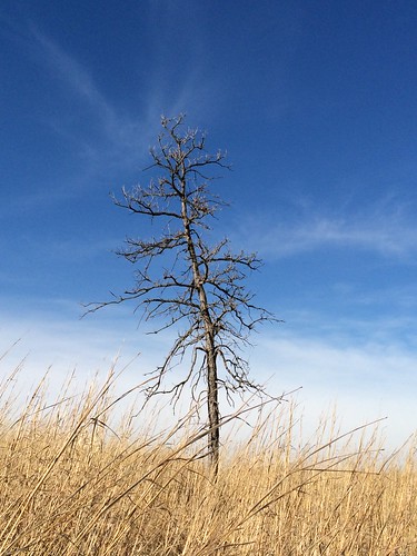
Elevation of Des Moines, IA, USA
Location: United States > Iowa > Jasper County >
Longitude: -93.238251
Latitude: 41.535766
Elevation: 277m / 909feet
Barometric Pressure: 0KPa
Related Photos:
Topographic Map of Des Moines, IA, USA
Find elevation by address:

Places in Des Moines, IA, USA:
Places near Des Moines, IA, USA:
Marshall St, Prairie City, IA, USA
Prairie City
W st St S, Prairie City, IA, USA
W 92nd St S, Colfax, IA, USA
Camp
Runnells
Washington
SE Vandalia Dr, Runnells, IA, USA
NE 12th Ave, Altoona, IA, USA
Beaver
SE Vandalia Dr, Runnells, IA, USA
Four Mile
Carlisle
NE 5th Ave, Pleasant Hill, IA, USA
SE Vandalia Dr, Pleasant Hill, IA, USA
Altoona
1005 Woodland Dr
Clay
Allen
Polk County
Recent Searches:
- Elevation map of Greenland, Greenland
- Elevation of Sullivan Hill, New York, New York, 10002, USA
- Elevation of Morehead Road, Withrow Downs, Charlotte, Mecklenburg County, North Carolina, 28262, USA
- Elevation of 2800, Morehead Road, Withrow Downs, Charlotte, Mecklenburg County, North Carolina, 28262, USA
- Elevation of Yangbi Yi Autonomous County, Yunnan, China
- Elevation of Pingpo, Yangbi Yi Autonomous County, Yunnan, China
- Elevation of Mount Malong, Pingpo, Yangbi Yi Autonomous County, Yunnan, China
- Elevation map of Yongping County, Yunnan, China
- Elevation of North 8th Street, Palatka, Putnam County, Florida, 32177, USA
- Elevation of 107, Big Apple Road, East Palatka, Putnam County, Florida, 32131, USA
- Elevation of Jiezi, Chongzhou City, Sichuan, China
- Elevation of Chongzhou City, Sichuan, China
- Elevation of Huaiyuan, Chongzhou City, Sichuan, China
- Elevation of Qingxia, Chengdu, Sichuan, China
- Elevation of Corso Fratelli Cairoli, 35, Macerata MC, Italy
- Elevation of Tallevast Rd, Sarasota, FL, USA
- Elevation of 4th St E, Sonoma, CA, USA
- Elevation of Black Hollow Rd, Pennsdale, PA, USA
- Elevation of Oakland Ave, Williamsport, PA, USA
- Elevation of Pedrógão Grande, Portugal

