Elevation of Derech HaNahshonim 54, Ari'el
Location: Ari'el >
Longitude: 35.1751074
Latitude: 32.1068015
Elevation: -10000m / -32808feet
Barometric Pressure: 0KPa
Related Photos:

Nablus (PS)

Nablus From Gerzim Mountain

Nablus Panoramic

Nablus city

Nablus city

Packing soap

Nablus city

Nablus Kindergarten

The boys are back in town

Making soap

Tourist Information

View of Hong Kong, from Nablus

Nablus & Gerizim, looking S.E.

Nablus. Showing slope of Ebal

Lubban. Showing zig-zag motor road

Misty view over Nablus

Gerzim Mountain

Nablus view from Gerzim
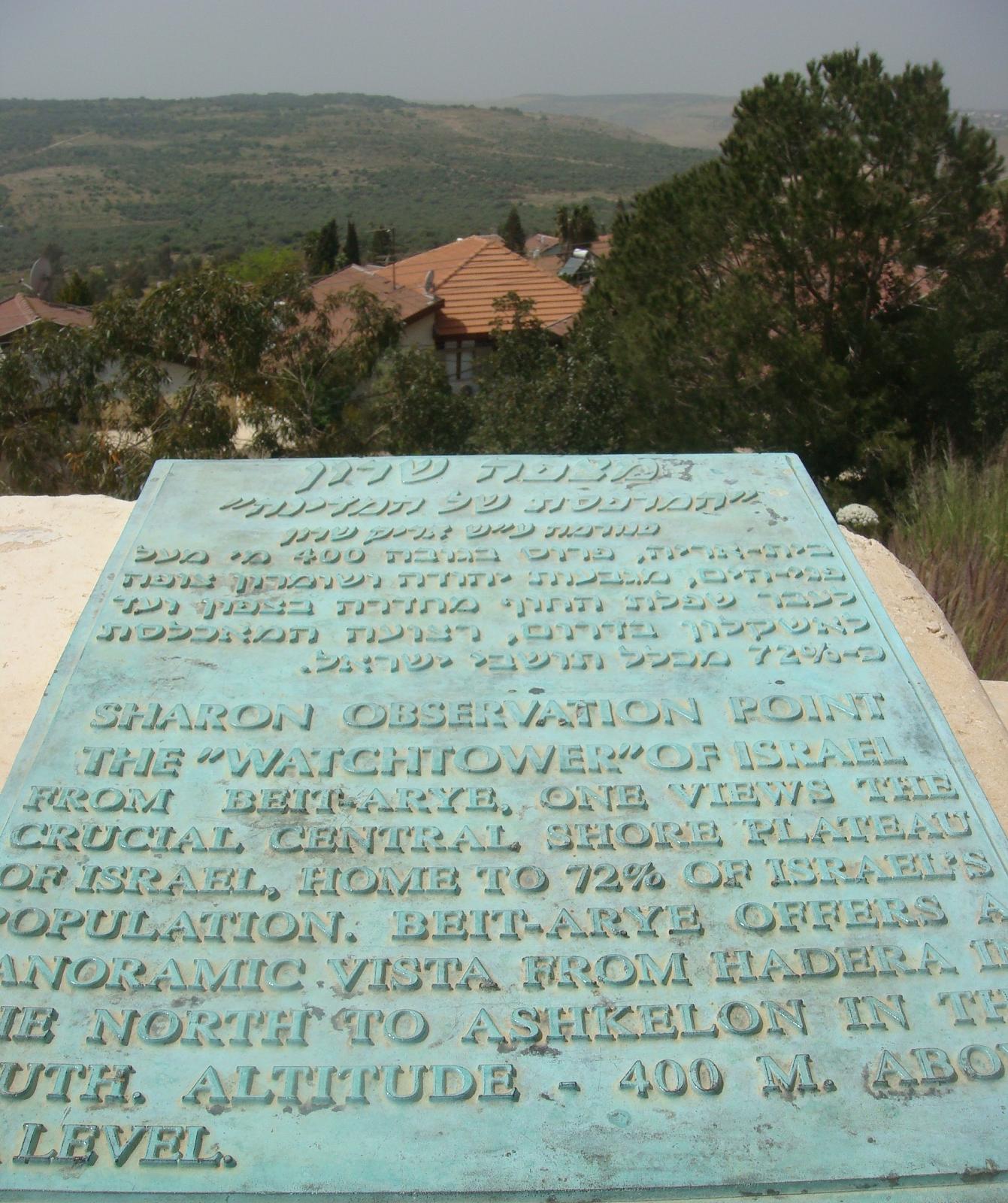
Observation point in Bet Arieh
His view

Fld VI; Outside of MB west wall of city; view from west gate (see cColepShechem036). (1962, ID: cColepShechem042, Source: slide, Repository: NPAPH-project, Creator(s): Dan P. Cole)

Looking down on ancient Shechem where lies Jacobs Well and Joseph's Tomb.

Lonely Tree in Yizhar I ●S95●
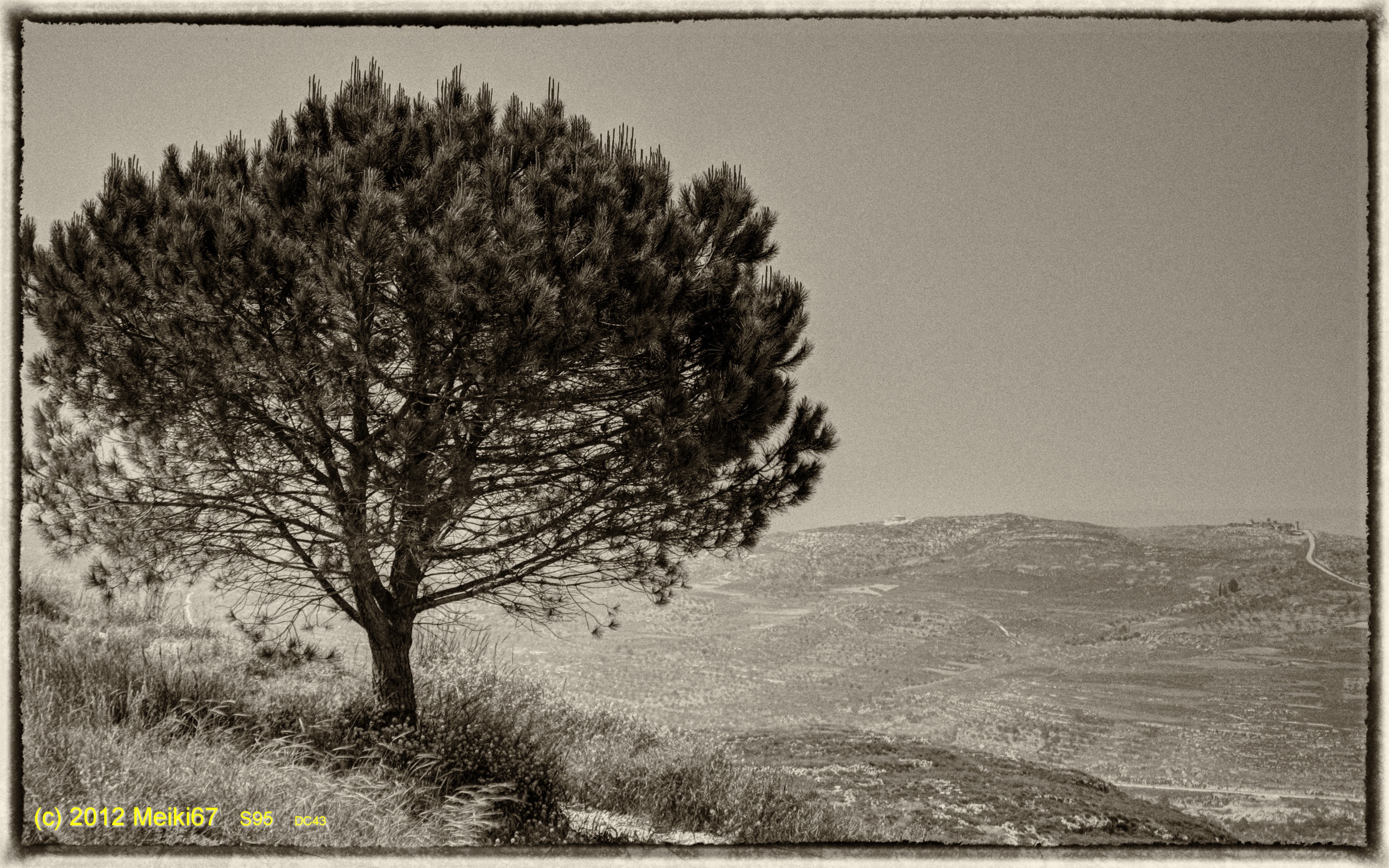
Lonely Tree in Yizhar II ●S95●

Nablus sarra

Ramallah - Nablus Biking round trip 121 km
Nablus sarra

Nablus sarra

Nablus sarra

130704 Nablus

Israel 2011

Nablus city

Nablus sarra

Nablus, Westbank, Israel

Nablus sarra

Nablus city
Topographic Map of Derech HaNahshonim 54, Ari'el
Find elevation by address:

Places near Derech HaNahshonim 54, Ari'el:
Ari'el
Klilat Yofi Street
Ariel University
Kfar Tapuach
Rehelim
Ma'ale Levona
Yitzhar
Huwwarah
Eli
Eli
Kdumim
Unnamed Road
Giv'at Shalem
Har Brakha
Jabal At Tur
Shiloh
Har Gerizim
Jabal Jirzim
Rujeib
Nablus
Recent Searches:
- Elevation map of Greenland, Greenland
- Elevation of Sullivan Hill, New York, New York, 10002, USA
- Elevation of Morehead Road, Withrow Downs, Charlotte, Mecklenburg County, North Carolina, 28262, USA
- Elevation of 2800, Morehead Road, Withrow Downs, Charlotte, Mecklenburg County, North Carolina, 28262, USA
- Elevation of Yangbi Yi Autonomous County, Yunnan, China
- Elevation of Pingpo, Yangbi Yi Autonomous County, Yunnan, China
- Elevation of Mount Malong, Pingpo, Yangbi Yi Autonomous County, Yunnan, China
- Elevation map of Yongping County, Yunnan, China
- Elevation of North 8th Street, Palatka, Putnam County, Florida, 32177, USA
- Elevation of 107, Big Apple Road, East Palatka, Putnam County, Florida, 32131, USA
- Elevation of Jiezi, Chongzhou City, Sichuan, China
- Elevation of Chongzhou City, Sichuan, China
- Elevation of Huaiyuan, Chongzhou City, Sichuan, China
- Elevation of Qingxia, Chengdu, Sichuan, China
- Elevation of Corso Fratelli Cairoli, 35, Macerata MC, Italy
- Elevation of Tallevast Rd, Sarasota, FL, USA
- Elevation of 4th St E, Sonoma, CA, USA
- Elevation of Black Hollow Rd, Pennsdale, PA, USA
- Elevation of Oakland Ave, Williamsport, PA, USA
- Elevation of Pedrógão Grande, Portugal