Elevation of Demmel Inc, Old World Circle, East Flat Rock, NC, USA

Location: United States > North Carolina > Henderson County > Hendersonville > East Flat Rock >

Longitude: -82.427764

Latitude: 35.2852783

Elevation: 670m / 2198feet

Barometric Pressure: 94KPa

Elevation Map:

elevation map of Demmel Inc, Old World Circle, East Flat Rock, NC, USA

Satellite Map:

Satellite map of Demmel Inc, Old World Circle, East Flat Rock, NC, USA
Related Photos:

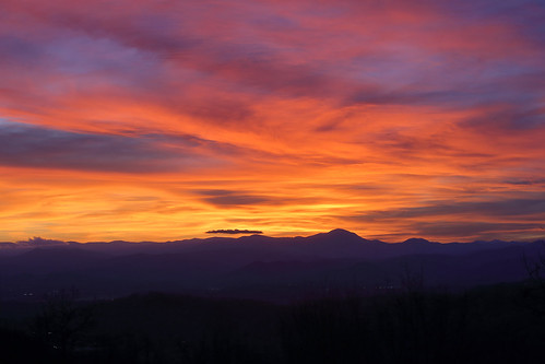
sunset westernnorthcarolina color blueridge appalachians canoneos6d canonef70200f28lis
sunset 3-26-20
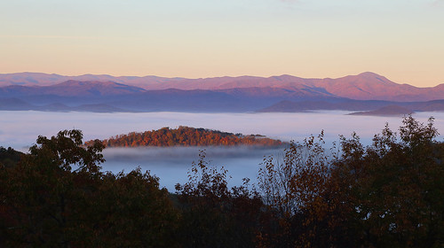
blueridge appalachians fall autumn sunrise landscape color northcarolina westernnorthcarolina canoneos6d canonef24105mmf4lisusm
Island in the Fog
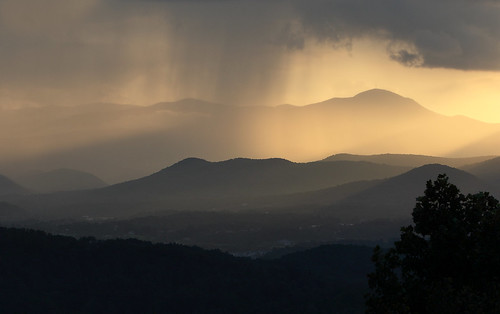
westernnorthcarolina pisgah blueridge appalachians mountains sunset rain layers summer misty canon70200f28isl canon7dmkii
sunset 8-16-2017
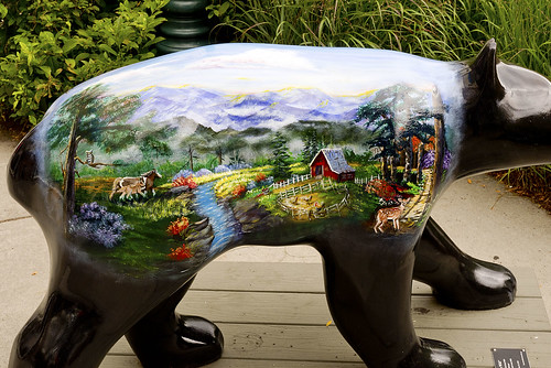
bearfootin’publicartwalk bear statue sculpture
Hendersonville Bears 13 - Into The Wild
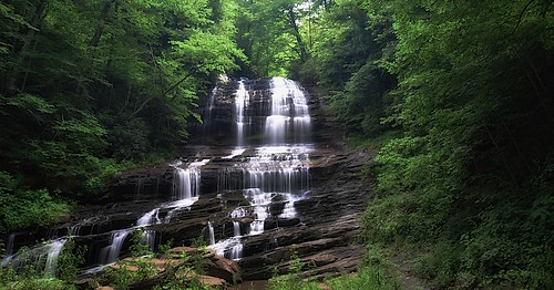
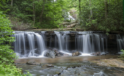
trees usa mountains northcarolina waterfalls forests blueridgemountains eastcoast saluda appalachianmountains supershot panoramafotográfico terpsphotostream
PEARSON'S FALLS BLUE RIDGE MOUNTAINS ~ N.C.
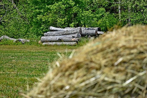
roundbale hay bale dof logs trees green baledhay lowresolutionversion ncmountainman nikon d3400 phixe
Logs and Hay
water nc rocks whitewater northcarolina rush cascade naturephotography polkcounty pearsonsfalls ncpedia
In a Hurry
Hay Bale II
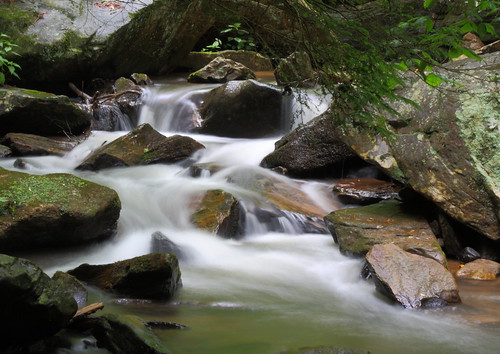
longexposure white water creek nc moss rocks stream northcarolina flowing cascade naturephotography polkcounty mosscovered pearsonsfalls davidhopkinsphotography ncpedia
Cascading Water
pink flower macro center
private parts
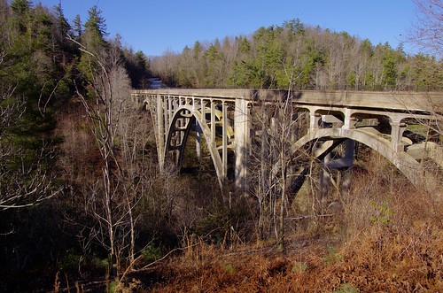
county nc henderson highbridge greenrivergorge abandonedbridge trusseddeckarch
High Bridge (Side View)
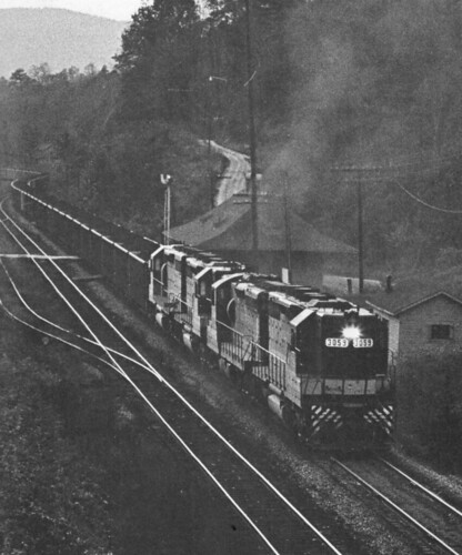
northcarolina trains railroads saluda southernrailway depots
Belmont Coal Train Passing Saluda Depot, 1967
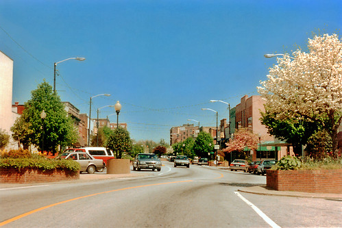
street trees town downtown northcarolina hendersonville 1994 floweringtrees businessdistrict commercialbuildings
Downtown Hendersonville, North Carolina
2011 hendersonville northcarolina cocacola billboards neonsigns favorites ghostsigns 500views 1000views
Coca-Cola Relieves Fatigue and Exhaustion
sunset summer woman sun amanda girl silhouette mom evening nc nikon child daughter mother silhouettes sigma bubbles blowing hendersonville bubble brianna setting wnc d300 105mm
Dusk and Summer
flatrock northcarolina unitedstates us
Orange Peppers
winter sunset sky sun mountains rock clouds landscape nc jump december view asheville dusk northcarolina off hendersonville laurelpark jumpoffrock hendersonvillenc
Early December Sunset
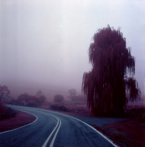
road mist fog landscape nebel scenic northcarolina willow infrared eir irg
Jeter Mountain Fog
longexposure trees waterfall nc rocks whitewater northcarolina saluda naturephotography polkcounty ndfilter naturesfinest pearsonsfalls davidhopkinsphotography ncpedia
Pearson's Falls
Pearson Lower New Trail - Read Description
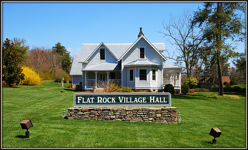
sign nc northcarolina townhall flatrock rockwork flatrocknc nikor1685vr
Flat Rock Village Hall
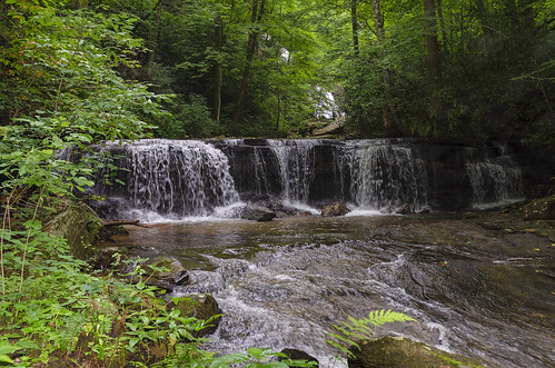
saluda north carolina the south blue ridge mountains pacolet river water stream hike hiking outdoor landscape woods forest waterfall
Gentle Falls on the North Pacolet River
north pacolet river saluda carolina the south pearson falls water forest woods hike hiking outdoor landscape
Falls Along the Pacolet
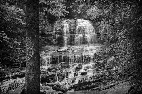
saluda north carolina the south landscape outdoor hike hiking woods forest trees waterfall pearson falls bw black white monotone
Pearson Falls - BW
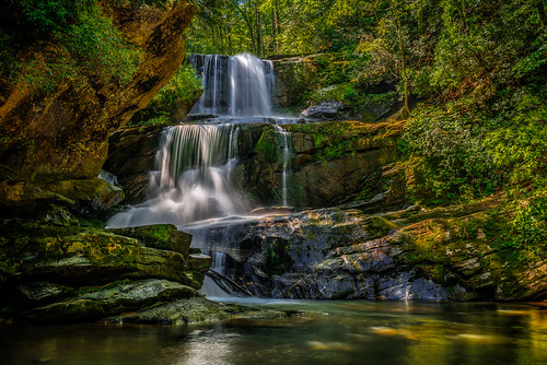
trees blur nature water landscape landscapes waterfall rocks northcarolina waterblur saluda waterflow westernnorthcarolina flowingwater littlebradleyfalls nikonflickraward
Little Bradley Falls (Saluda, North Carolina)
blackandwhite anseladams lowkey sooc square landscape iphoneart iphone hipstamatic monochrome bw
Sunrise Tryon
ansel iphoneart blackandwhite hipstamatic
Low Key
blueridge westernnorthcarolina sunrise light mountains clouds blueridgemountains landscape canoneosm6mkii canonefm18150
Blue Ridge becomes the Red Ridge
canon 6d 2255mm nature landscape water reflection mountain mountains forest clouds sky eos
Vaughn Gap and Hogback Mountain
snow clouds overcast landscape scenic rural northcarolina
The Guarded Way
park usa geotagged nc unitedstates map northcarolina hendersonville greenspace flatrock themeadows wnc parkmap westernnorthcarolina publicpark hendersoncounty hendersonvillenc flatrocknorthcarolina flatrocknc kingcreek conceptualmap nikonsigma hendersonvillenorthcarolina oldgolfcourse hendersoncountync hendersoncountynorthcarolina dyecreek theparkatflatrock highlandlakegolfclub preliminarymap geo:lat=3529175697 geo:lon=8243640125
The Park At Flat Rock (Flat Rock, North Carolina)
fog mist autumn northcarolina trees landscape rural
Road to Nowhere
sooc ruleofthirds ipad sunrise monochrome nc iphoneart iphoneography hipstamatic
First light
light amazing jumpoffrock nc daveallen laurelpark frost ice winter landscape trees tree frozen frozenlandscape outdoors nature cold nikon d700 1735mm singleexposure northcarolina carolina blueridgemountains nikond700 dramaticsky hendersonville photography westernnorthcarolina platinumpeaceaward mygearandmeplatinum platinumheartaward eveninglight hendersonvillenc icytrees frosty icecold backlighting backlight backlit sunlight crystals winterlandscape mygearandmediamond artistoftheyearlevel6 hoarfrost
Jump Off Rock Hendersonville NC in Amazing Light - Luminous
Pearson's Falls
ansel blackandwhite monochrome panorama landscape
Sunrise at Mt Tryon
littlebradleyfalls northcarolina saluda greenrivergamelands waterfall waterfalls greatdestinations beautifuldestinations hike hiking
Little Bradley Falls
waterfall falls pearsons pearsonsfalls
Pearson's Falls in HDR
saluda north carolina the south landscape outdoor hike hiking woods forest trees waterfall pearson falls
Peaceful Trail