Elevation of Cinnamon Way, Flat Rock, NC, USA
Location: United States > North Carolina > Henderson County > Green River > Flat Rock >
Longitude: -82.420636
Latitude: 35.2655173
Elevation: 695m / 2280feet
Barometric Pressure: 93KPa
Elevation Map:
Satellite Map:
Related Photos:

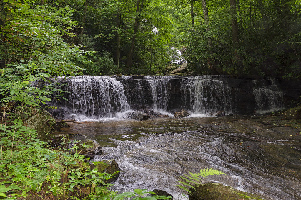
PEARSON'S FALLS BLUE RIDGE MOUNTAINS ~ N.C.
In a Hurry

Pearson Lower New Trail - Read Description
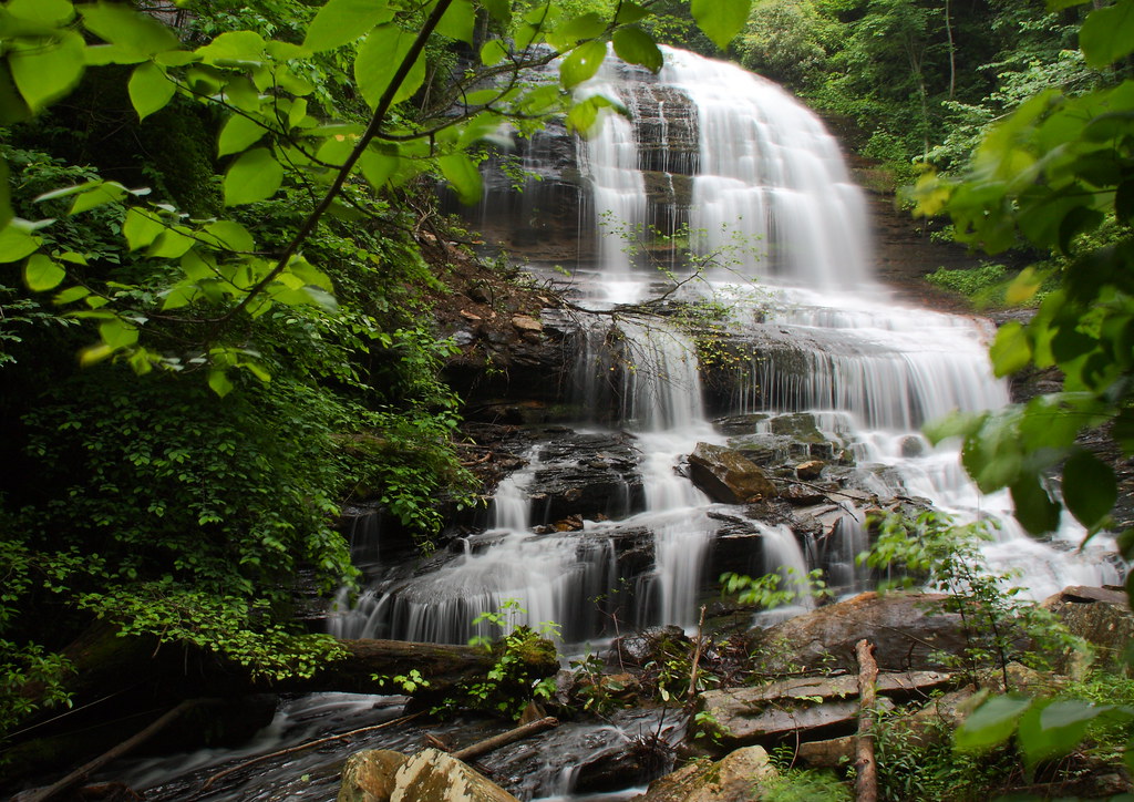
Pearson's Falls

56/365 ~ “A cloud cannot cast a shadow unless the sun is shining beyond it”
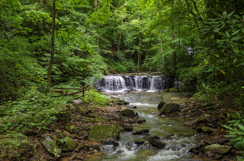
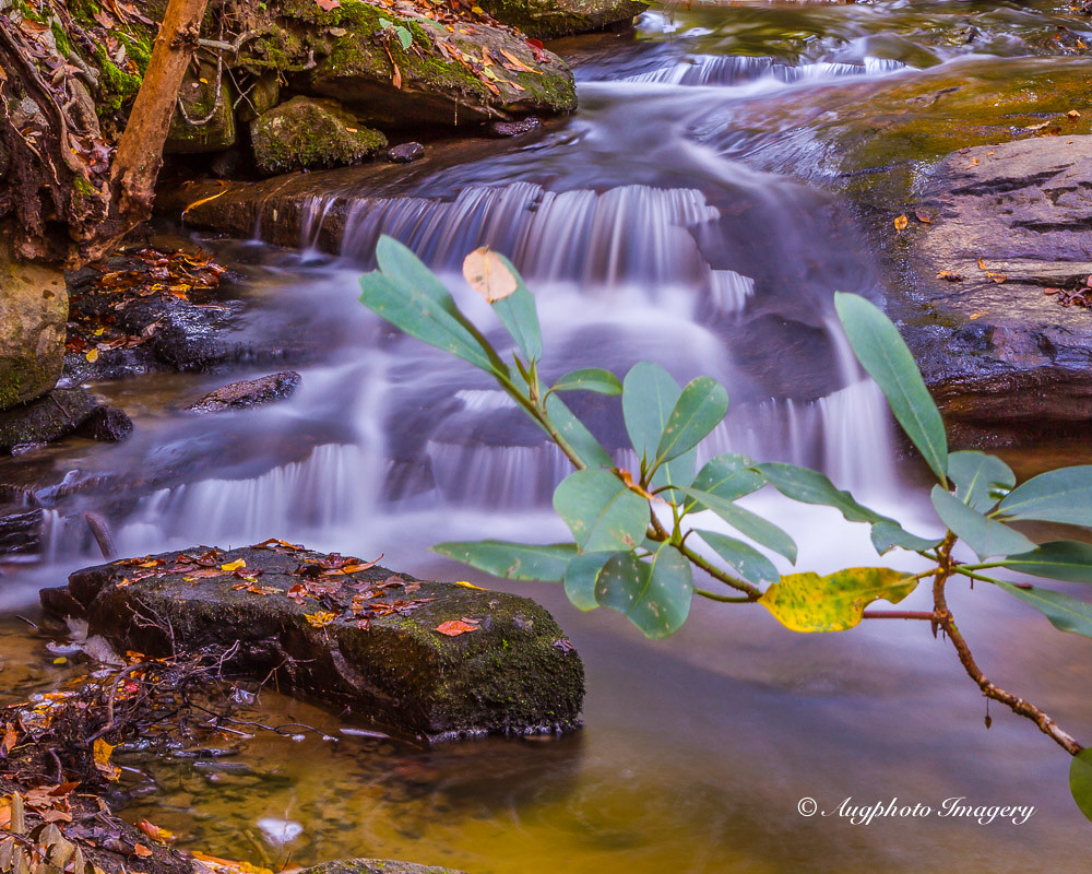
Cascading Water
After the Storm

Into the Evening Air
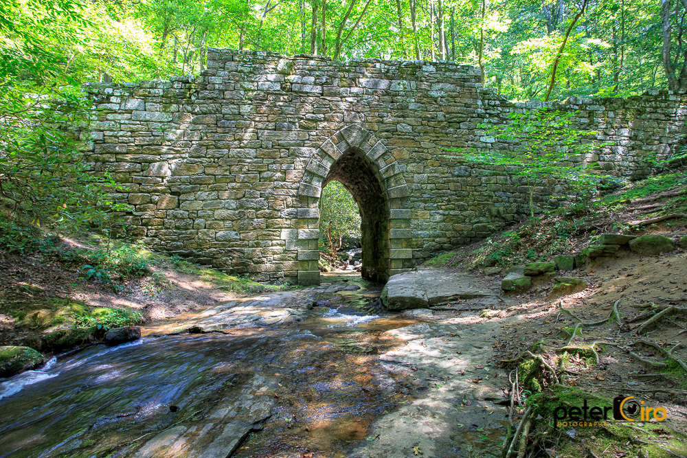
Poinsett Bridge near Highland, SC
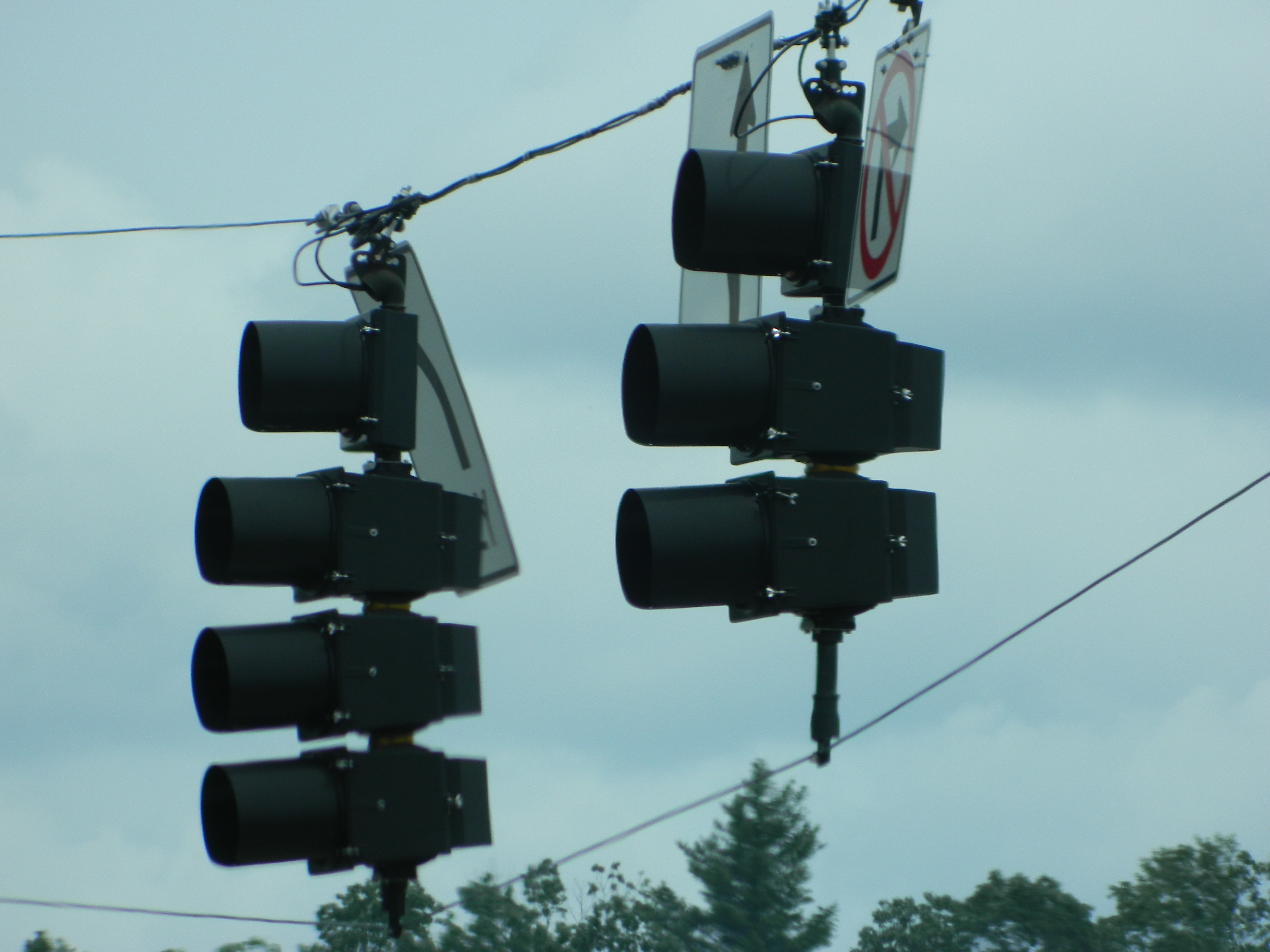
PV McCain Traffic Lights

Orange Peppers
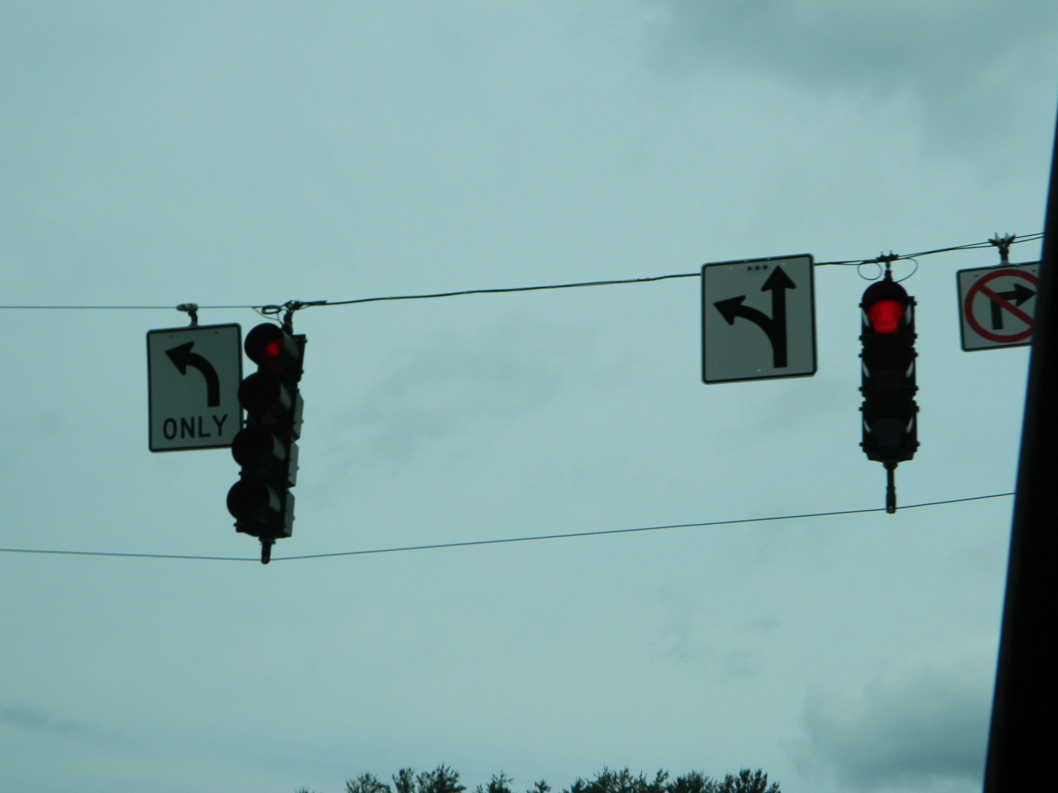
PV McCain Traffic Lights
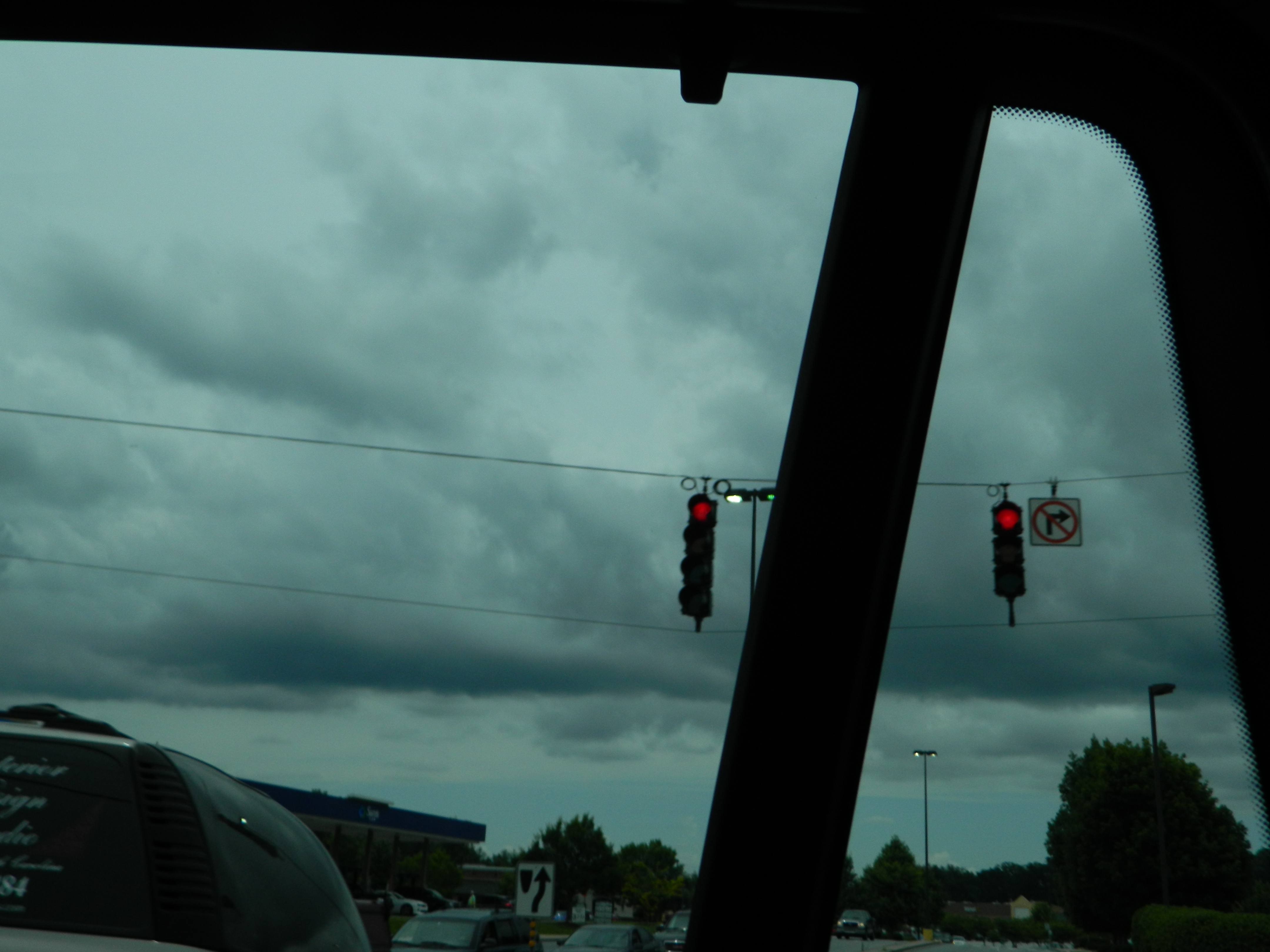
PV McCain Traffic Lights

Photographers at Jump Off Rock viewing Sunset over Blue Ridge Mountains, North Carolina
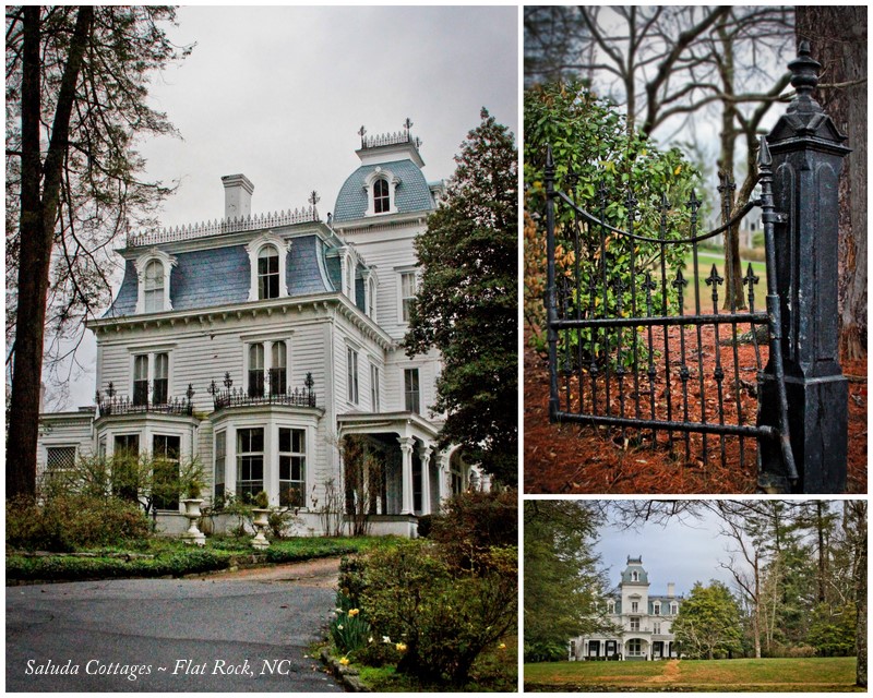
90/365 ~ Saluda Cottages, Flat Rock, NC

View of the drained Swimming Lake from the Boating Lake dam.
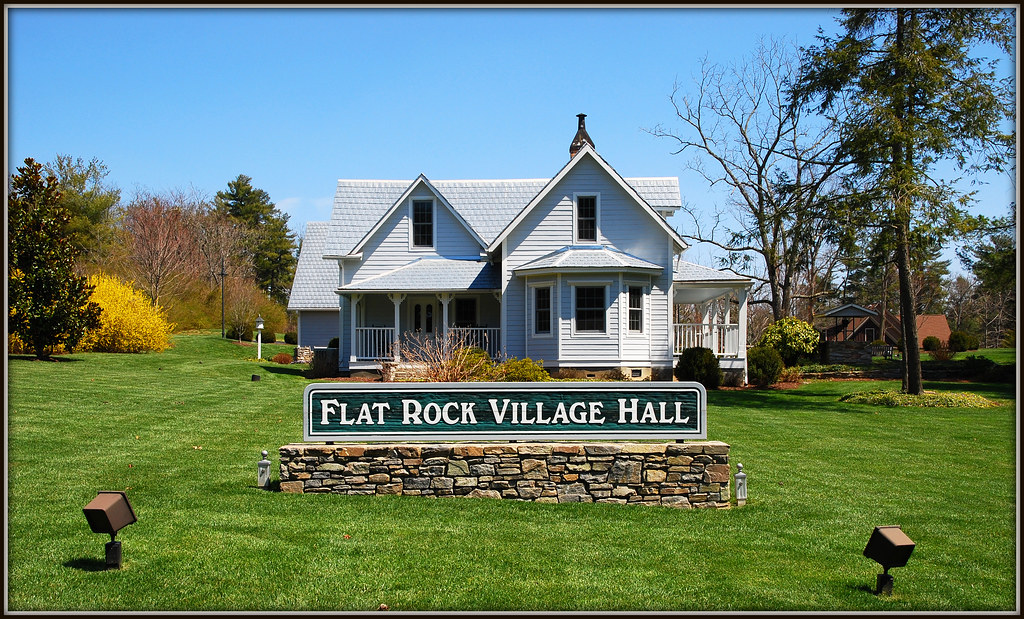
Flat Rock Village Hall
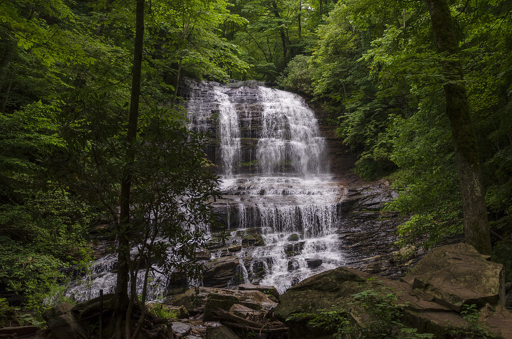
Pearson's Falls-through the Trees

Jump Off Rock fall color overlook best color view
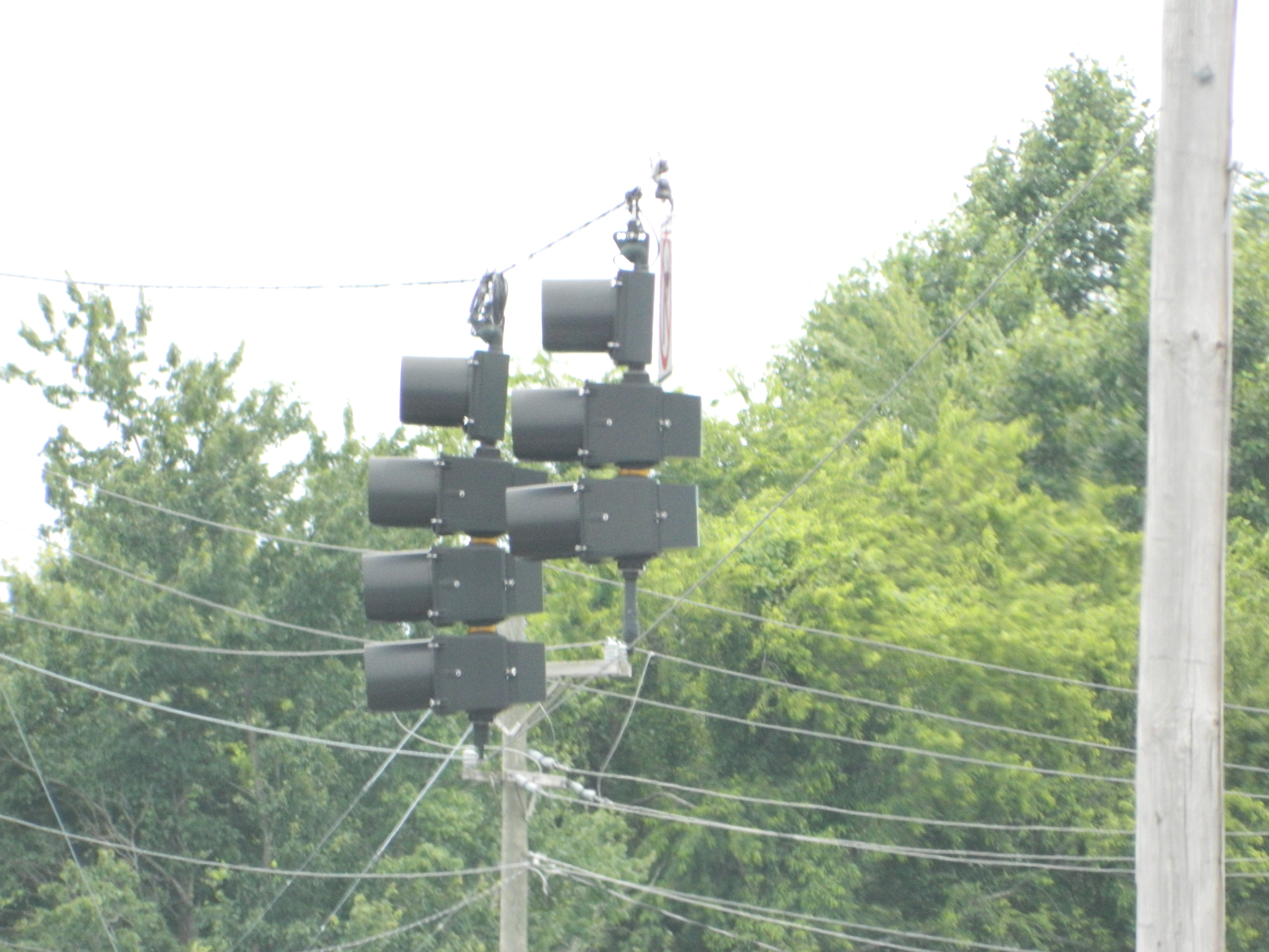
PV McCain Traffic Lights

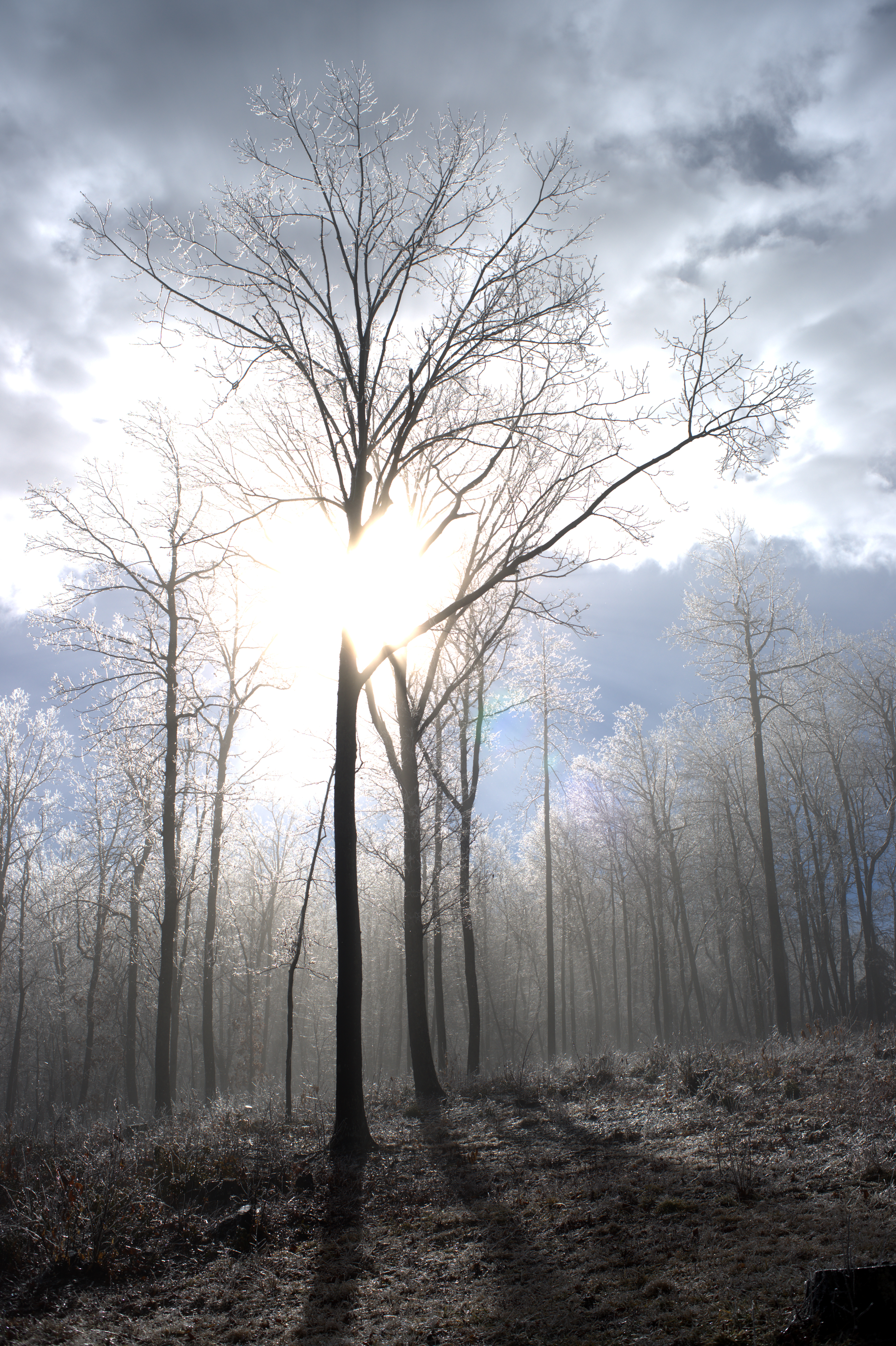
winter tree Ortonized
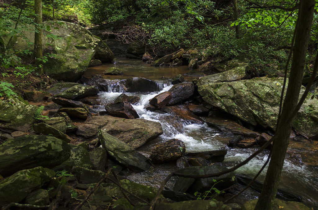
Gentle Falls on the North Pacolet River
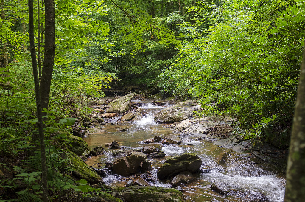
Gentle North Pacolet

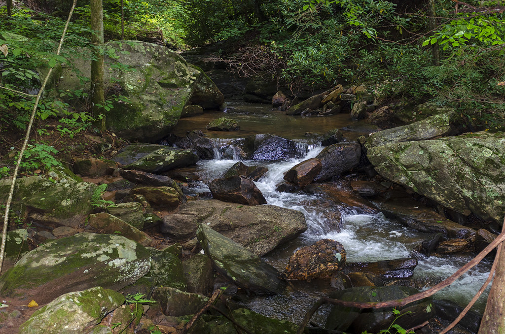
Water Dancing on the Rocks
North Pacolet River II
Peaceful Trail
Falls Along the Pacolet
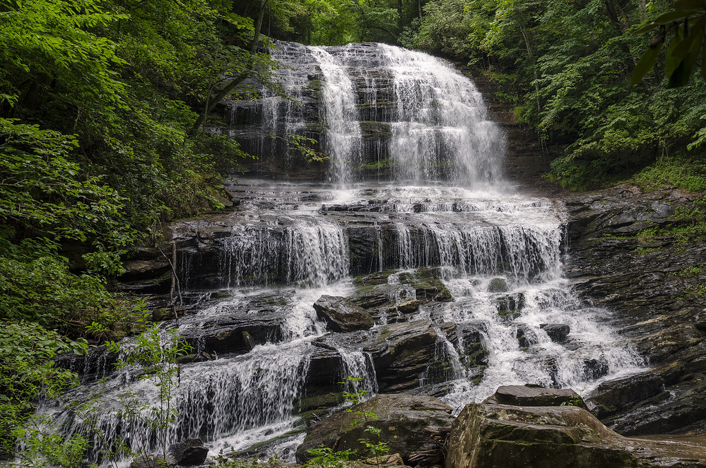
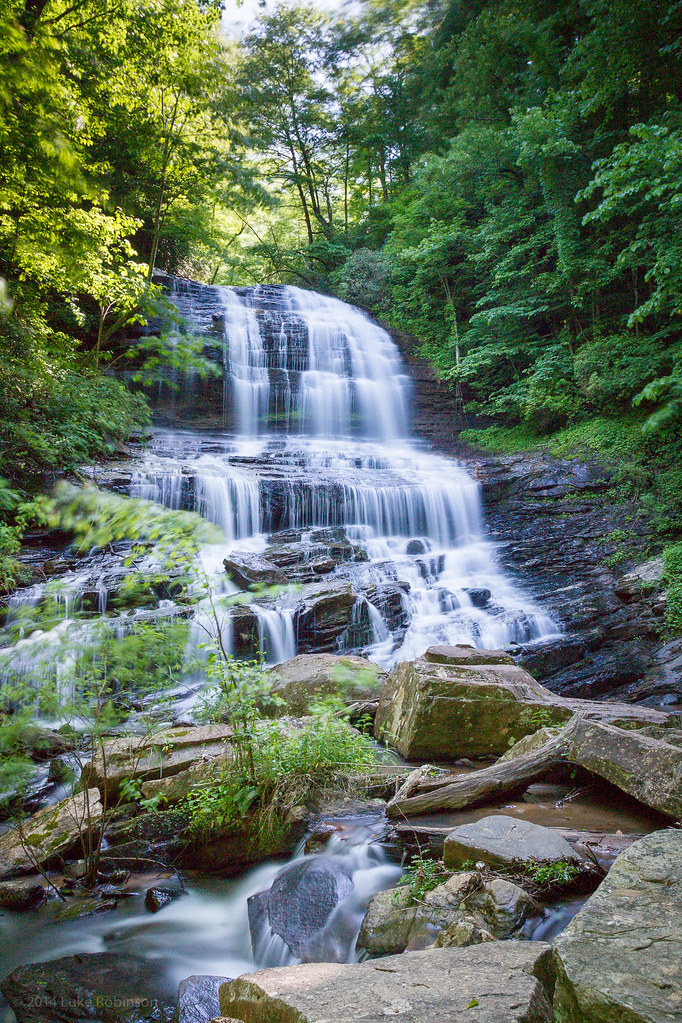
Pearson Falls
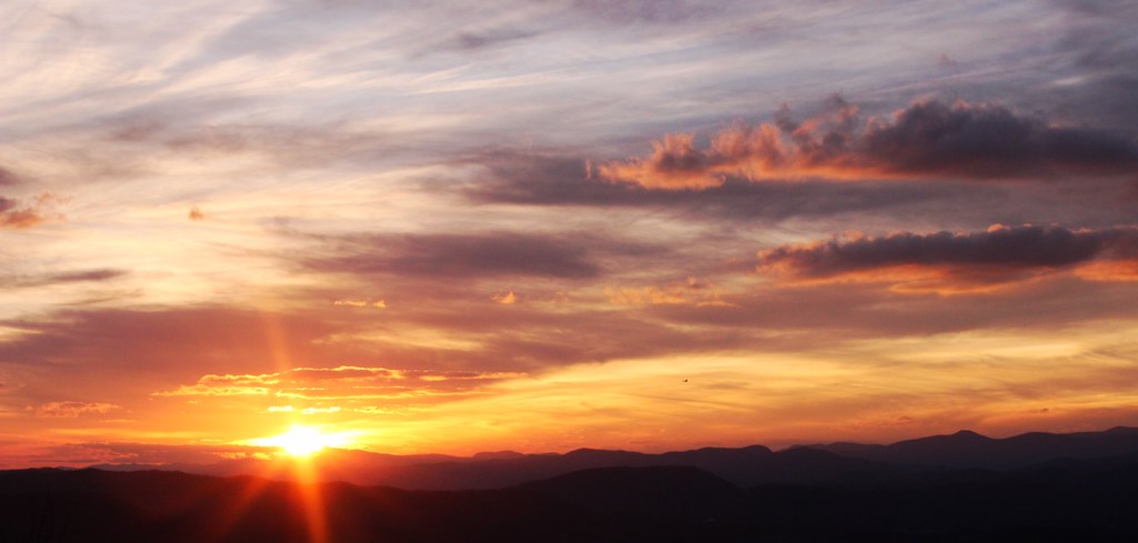
Early December Sunset

North Saluda Reservoir
The Secret Shack
North Pacolet River
Moss on River Rock

Pearson Falls II

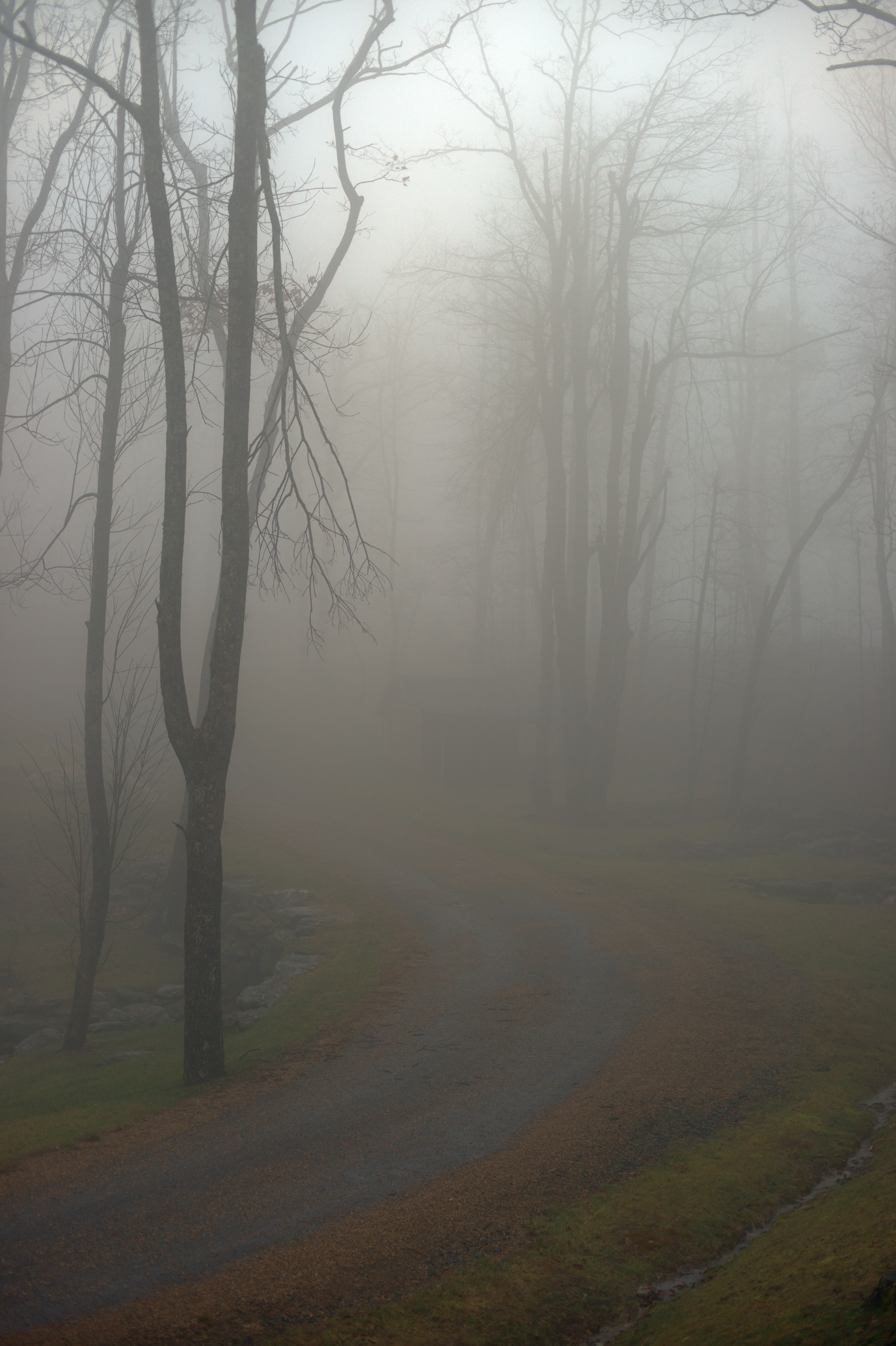
Morning Mist
Pearson's Falls, North Carolina
Ice on Fire
Poinsett Cascade
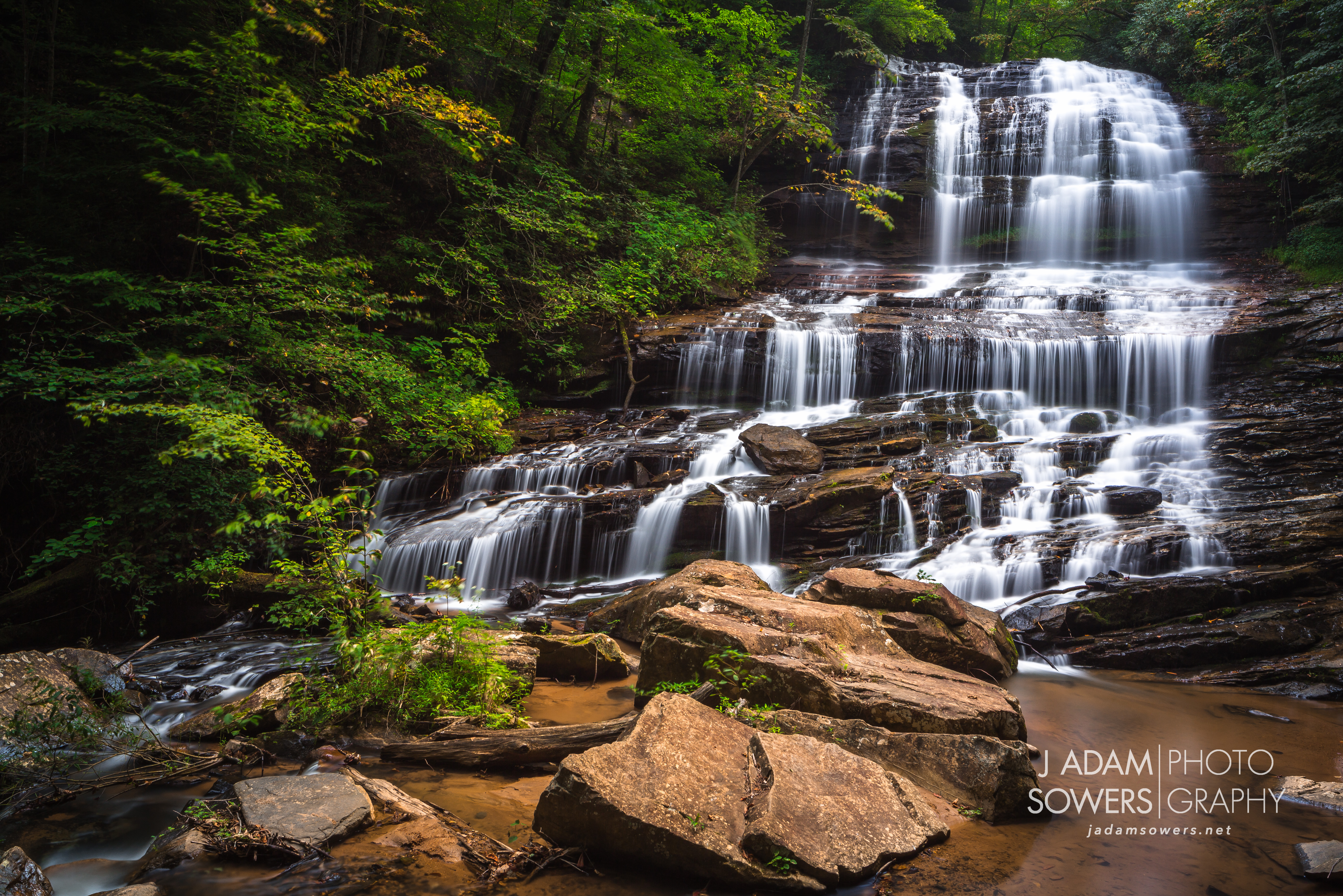
Pearson's Falls
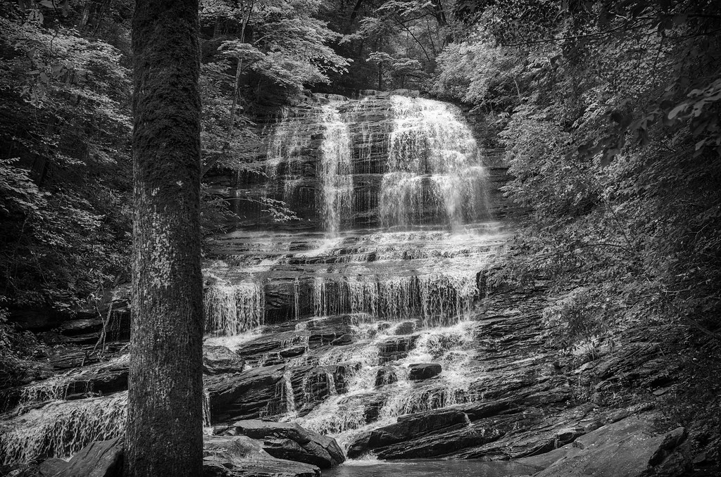
Pearson Falls - BW
Topographic Map of Cinnamon Way, Flat Rock, NC, USA
Find elevation by address:

Places near Cinnamon Way, Flat Rock, NC, USA:
41 Remembrance Ridge
515 Claremont Dr
503 Claremont Dr
Spartanburg Hwy, Flat Rock, NC, USA
90 Tabor Rd #1
374 Fenway Cir
989 Mine Gap Rd
125 W Blue Ridge Rd
5 Highland Park Rd
19 Shadow Brook Dr
Co Rd, East Flat Rock, NC, USA
520 Kingcrest Dr
East Flat Rock, NC, USA
East Flat Rock
513 Kingcrest Dr
Pinnacle Mountain Road
248 Markley Dr
5 Lakemont Cottage Trail
381 Tryon View Dr
500 Pine Dr
Recent Searches:
- Elevation of Corso Fratelli Cairoli, 35, Macerata MC, Italy
- Elevation of Tallevast Rd, Sarasota, FL, USA
- Elevation of 4th St E, Sonoma, CA, USA
- Elevation of Black Hollow Rd, Pennsdale, PA, USA
- Elevation of Oakland Ave, Williamsport, PA, USA
- Elevation of Pedrógão Grande, Portugal
- Elevation of Klee Dr, Martinsburg, WV, USA
- Elevation of Via Roma, Pieranica CR, Italy
- Elevation of Tavkvetili Mountain, Georgia
- Elevation of Hartfords Bluff Cir, Mt Pleasant, SC, USA